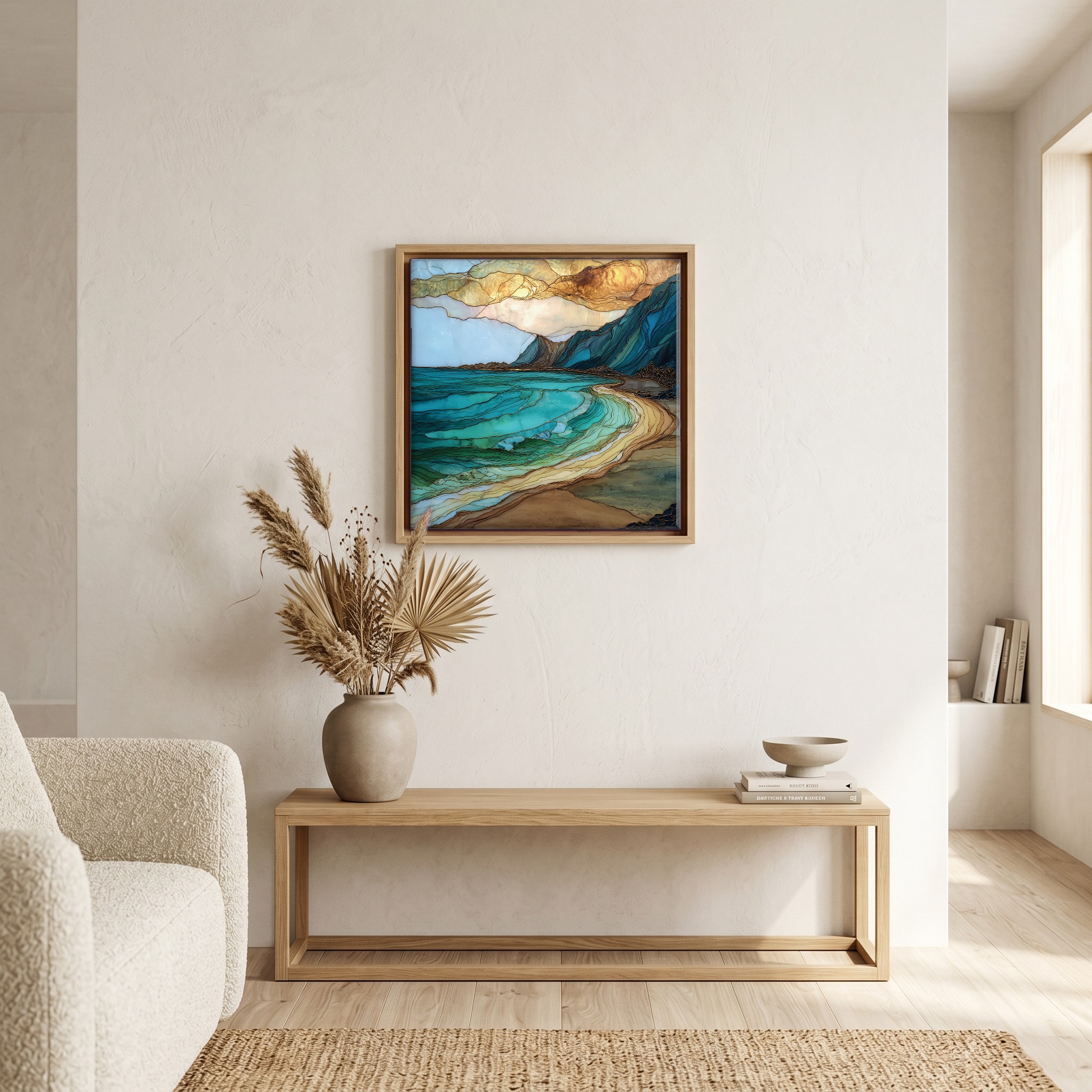
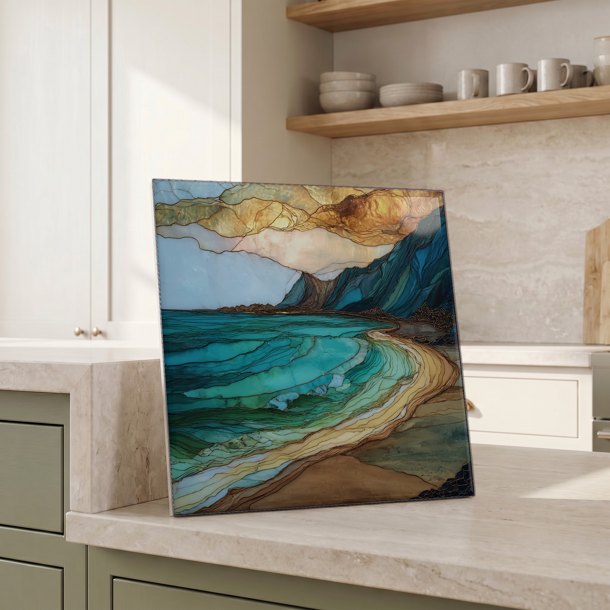
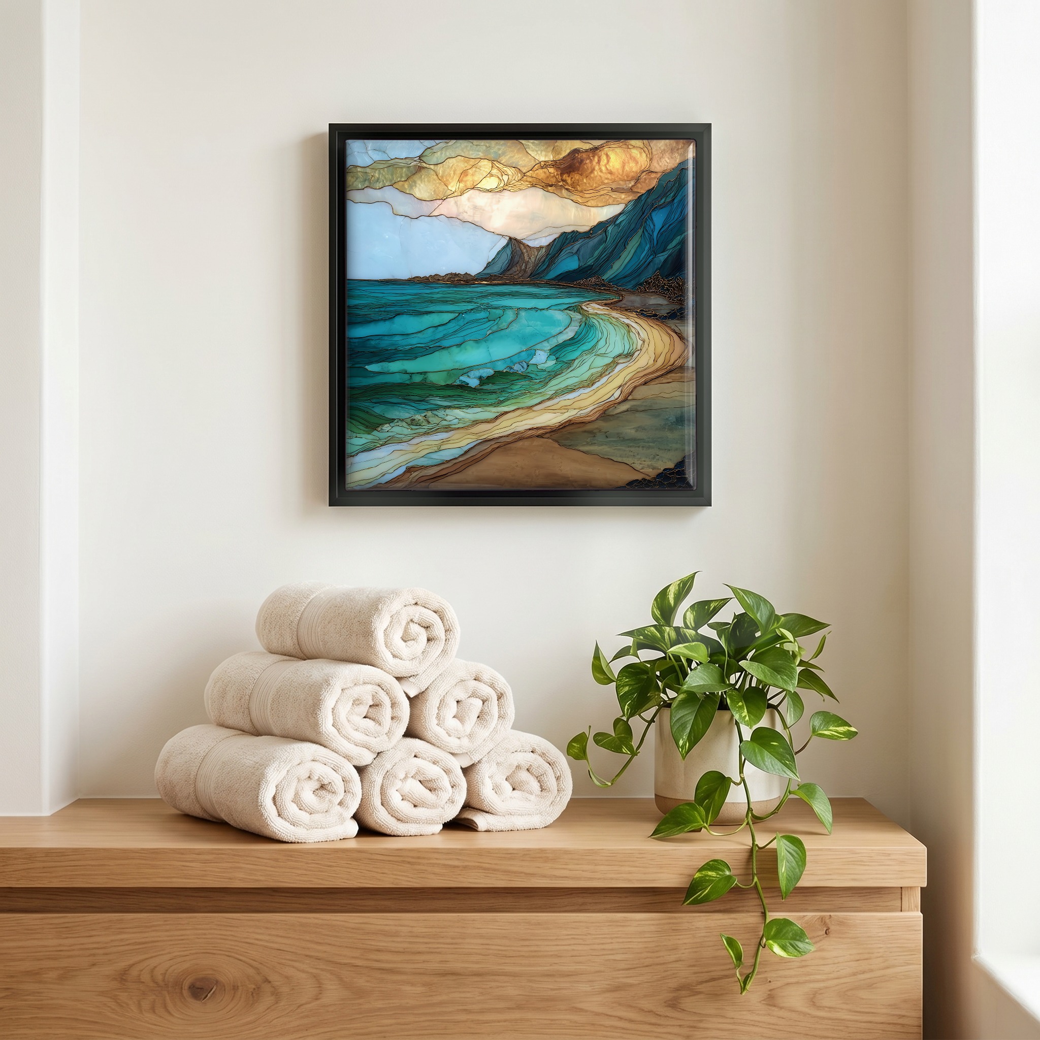
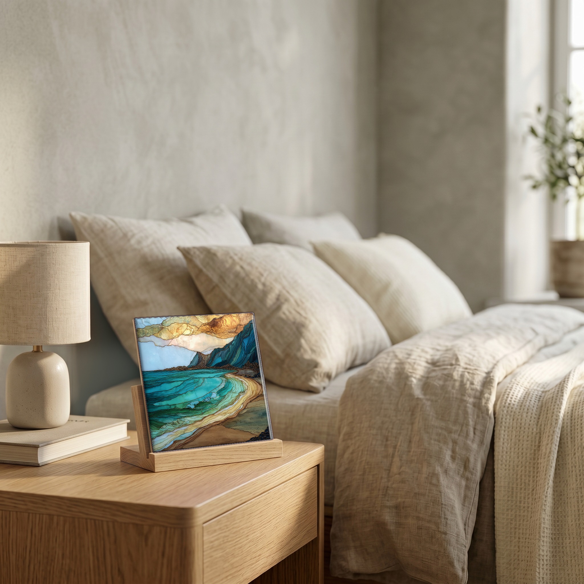
Yokohama Bay Oahu Ceramic Art Tile
— the last beach before the road runs out.
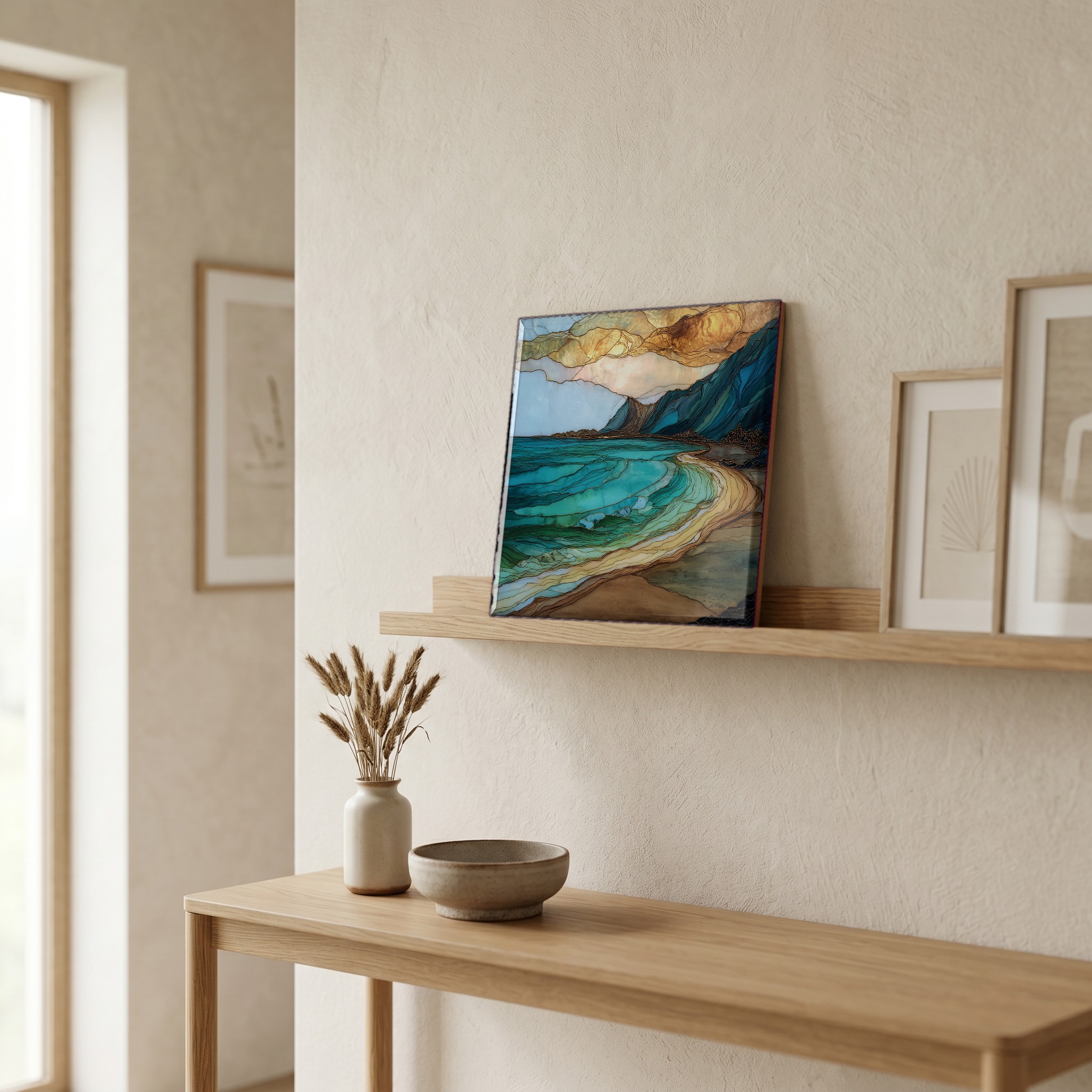
Not only on a wall.
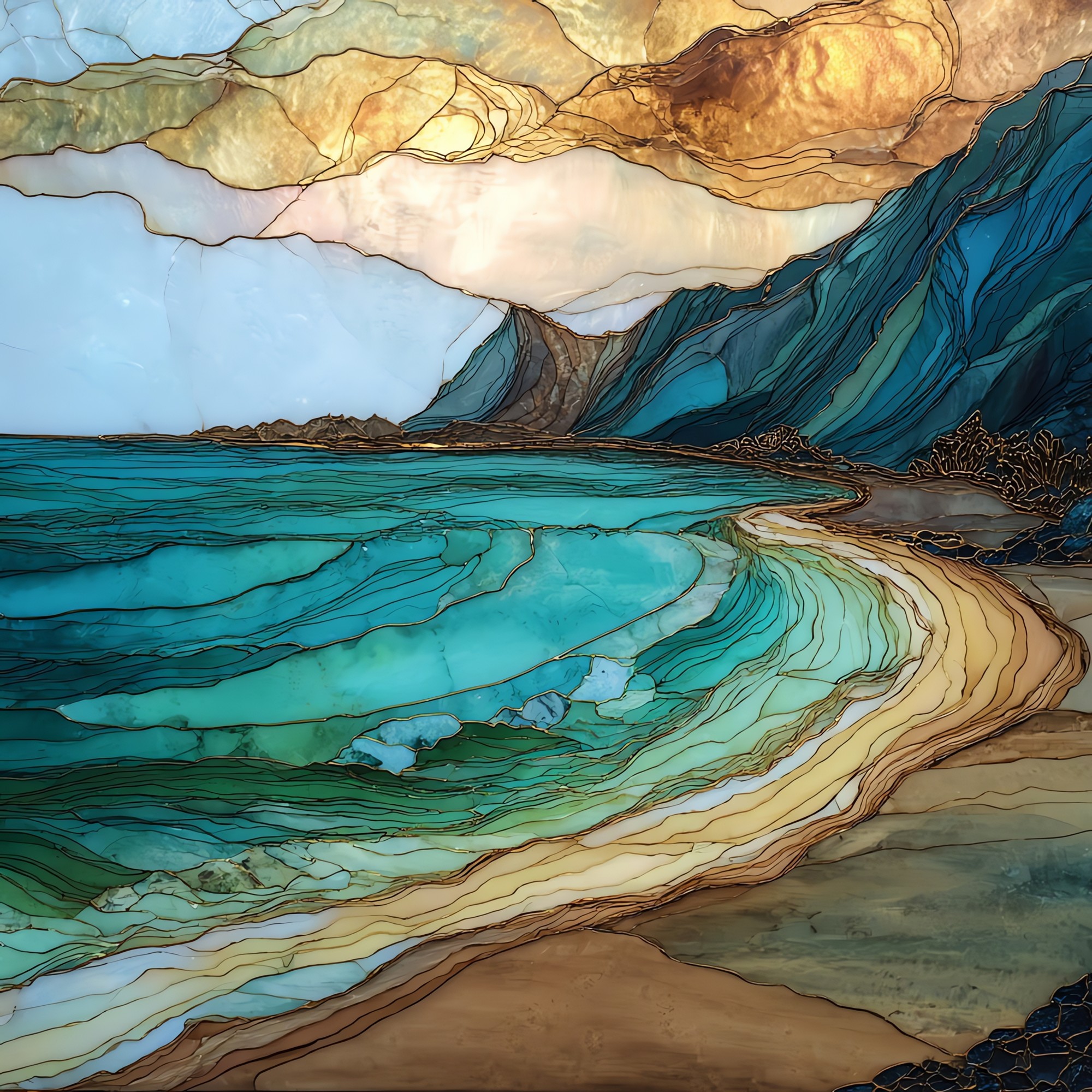
“The far end of the Wai'anae coast. Where Farrington Highway gives up at the foot of Ka'ena Point and the pavement turns to gravel. Locals call it Keawa'ula. The name on the maps is Yokohama, after the Japanese fishermen who worked this water a hundred years ago. Long crescent of sand, lifeguarded but mostly empty on a weekday morning. Sea turtles haul out in the afternoon shadow of the cliffs. In summer the water is calm enough to swim. In winter the shore break here will lift a person off the sand. The sun sets straight into the channel.

Yokohama Bay Oahu Ceramic Art Tile, on ceramic.
Each tile is finished by hand in our Knoxville studio. Artwork is slowly infused into the ceramic surface under high heat and pressure, and rests beneath a thin glossy finish. The colour lives in the surface, not on top of it.
Pick any four 4-inch tiles — National Parks you've been to, a Smokies set, the four seasons of one place. $ for a set of , cork-backed, ready to live on the table.
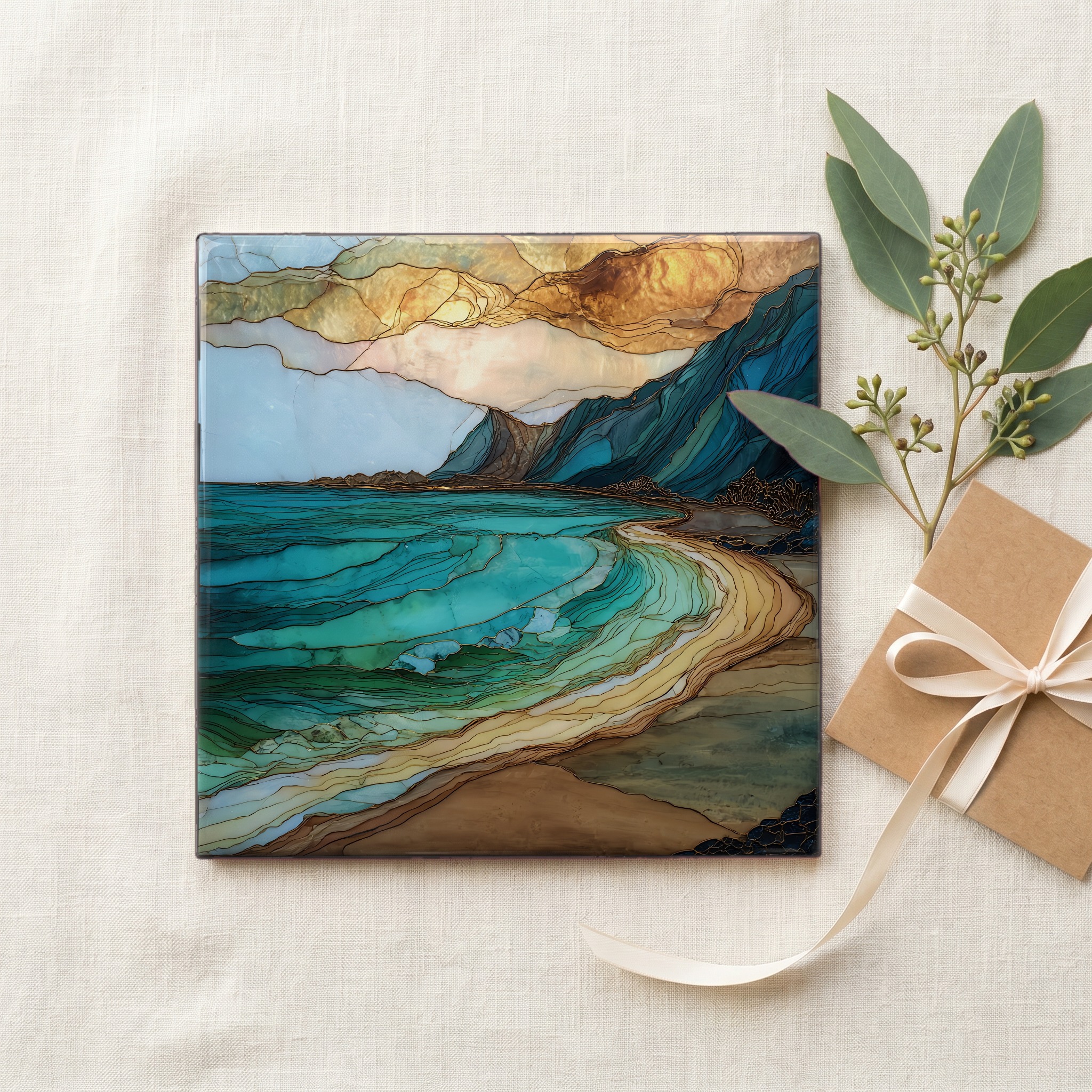
Each tile ships in a kraft box, tied with cream ribbon, with a handwritten note from the studio if you'd like to add one.
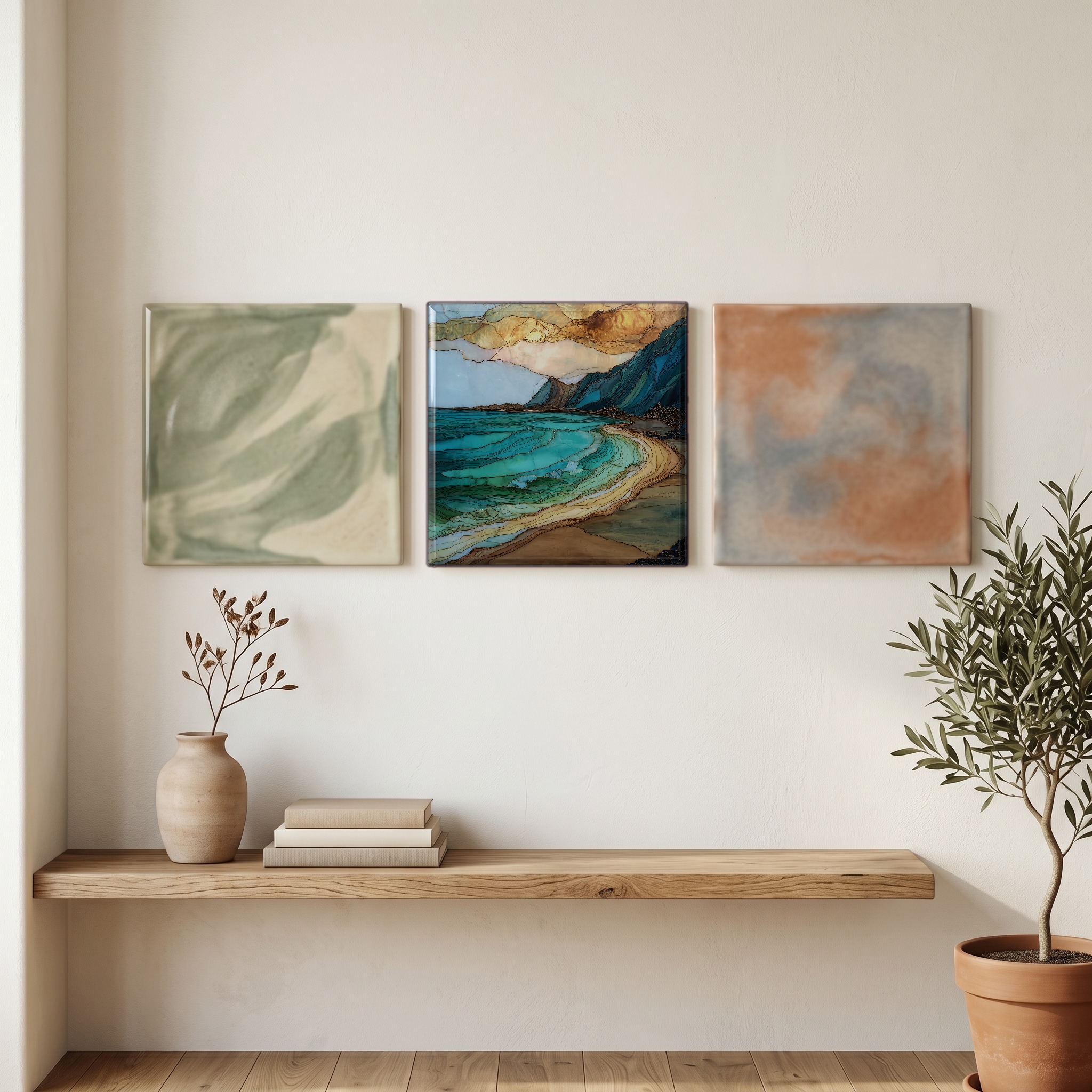
Three or five different vistas, hung together — a chapter of places you've been, or want to go.
The place, in three passes.
Yokohama Bay sits at the western terminus of Farrington Highway on O'ahu's leeward Wai'anae coast, about 40 miles northwest of Honolulu. Its Hawaiian name is Keawa'ula Bay, meaning 'the red harbor,' after the squid that once turned the water reddish on summer nights. The common name Yokohama dates to the early 1900s, when Japanese fishermen from the O'ahu Railway & Land Company line worked the shore here. The bay marks the entrance to Ka'ena Point State Park, an 853-acre coastal reserve at the northwesternmost tip of O'ahu. Beyond the gate, the road ends and a graded path runs another 2.5 miles around the point to the natural area reserve.
The bay faces due west across the Ka'ie'ie Waho Channel toward Kaua'i, 70 miles away. Conditions split sharply by season. From May through September the water is generally swimmable and the sand bottom slopes gently; in winter the same beach takes North Pacific swell head-on, with shore-break waves that have injured experienced bodyboarders. The City and County of Honolulu posts lifeguards every day at Tower 16, and signs warn of strong shore currents. Hawaiian green sea turtles (honu) commonly haul out on the south end of the beach in late afternoon. Hawaiian monk seals, of which roughly 1,600 remain, occasionally rest here and must be given a 50-foot berth under federal law.
The beach is open daily from sunrise to sunset; the gravel parking area sits at the end of state Route 93. There is no entry fee. Lifeguard Tower 16 covers the bay. Restrooms and outdoor showers are at the south end of the lot. Cell coverage is patchy past Makaha, 8 miles back down the coast, and the nearest gas and groceries are at Makaha and Wai'anae. Walk-in access to Ka'ena Point Natural Area Reserve begins at the locked gate at the north end of the beach; the round-trip hike to the point and its Laysan albatross colony is roughly 5 miles on the Mokuleia (north) side or 4.6 miles on the Yokohama side. No shade.