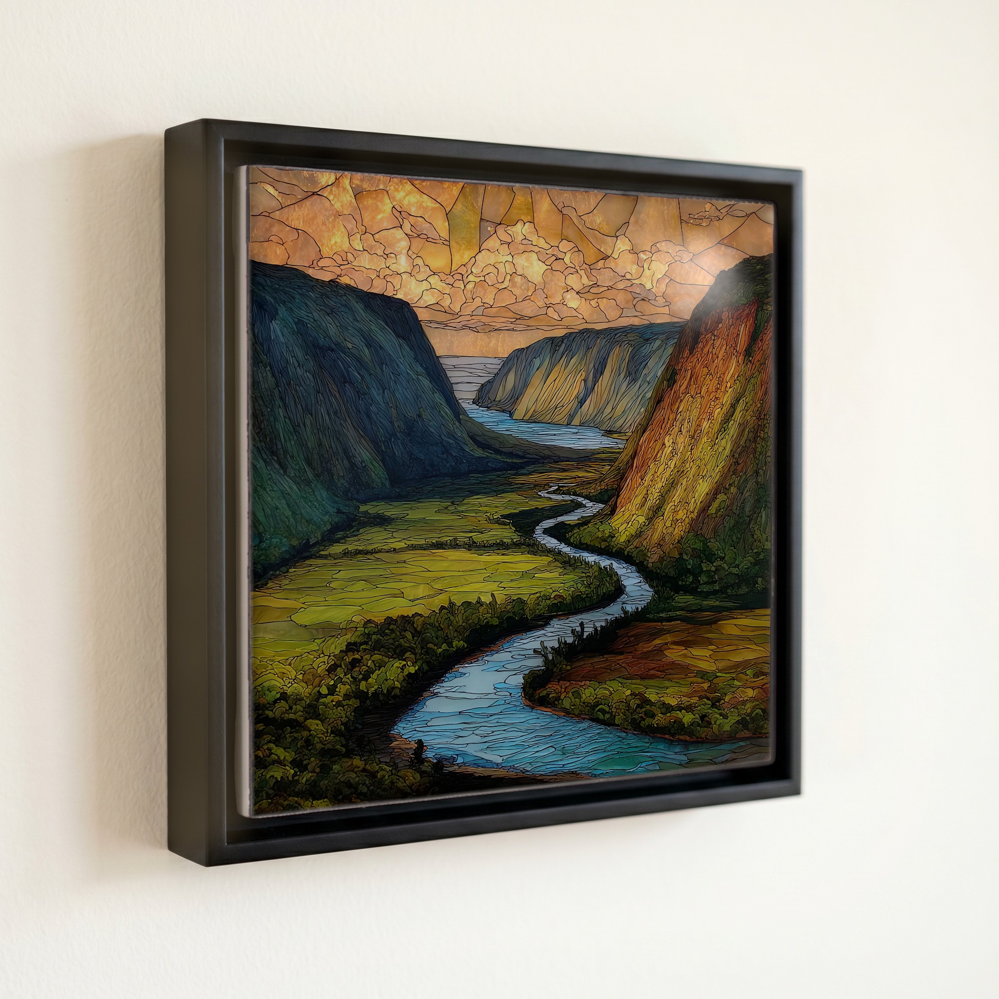
Waipio Overlook Big Island Ceramic Art Tile
— a thousand feet of green falling to the sea.
Not only on a wall.


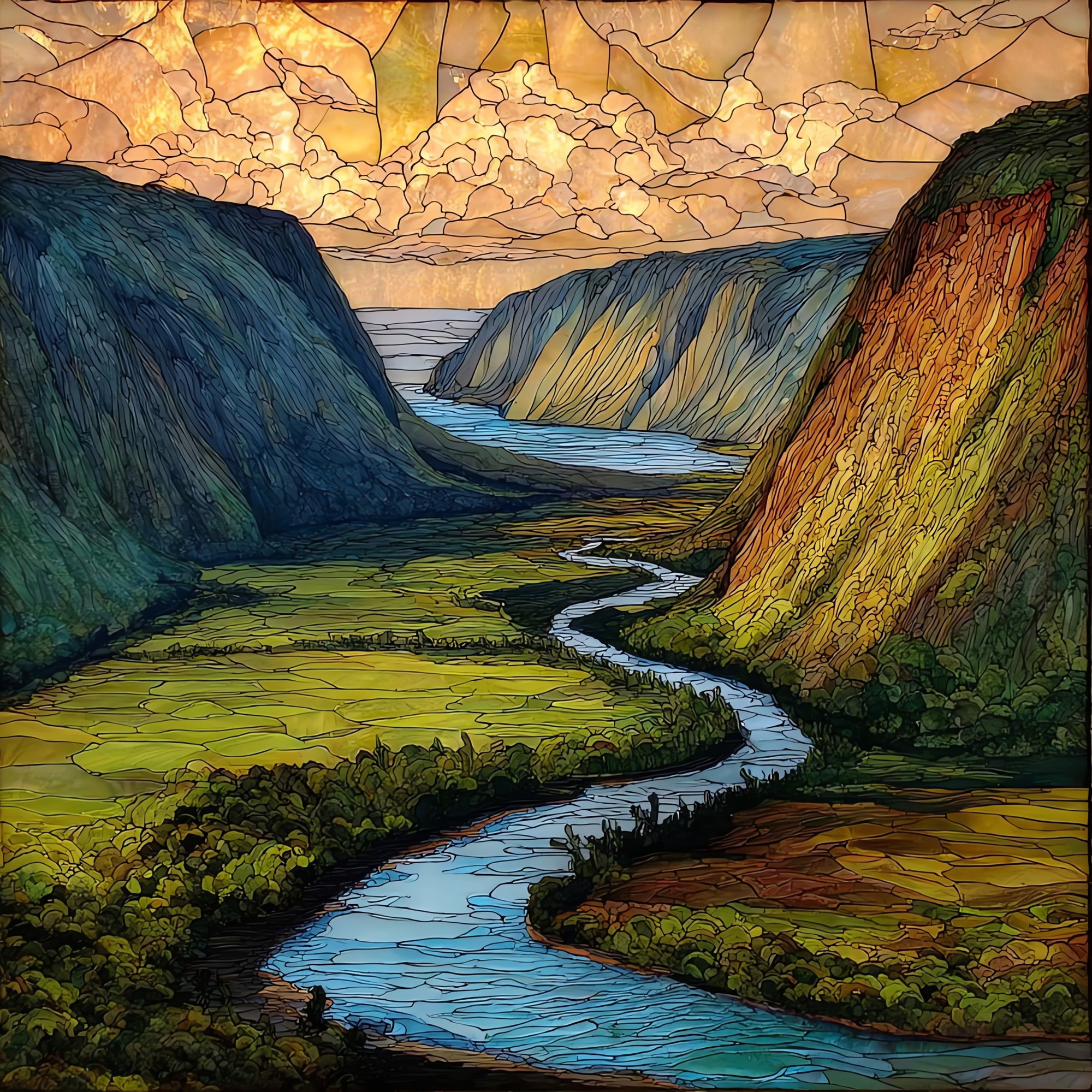
“The overlook at the end of Waipiʻo Valley Road, where the Hāmākua Coast cliffs drop a thousand feet to a black-sand beach. The valley was the boyhood home of Kamehameha I, and the burial ground of many of the kings before him. Locals call it the Valley of the Kings. The road down is one of the steepest in the country, mostly closed to visitors since the 2022 landslides. The overlook is what most people see now. It's enough. Hiʻilawe Falls is somewhere in the back of the valley, sometimes visible, mostly held by the green.
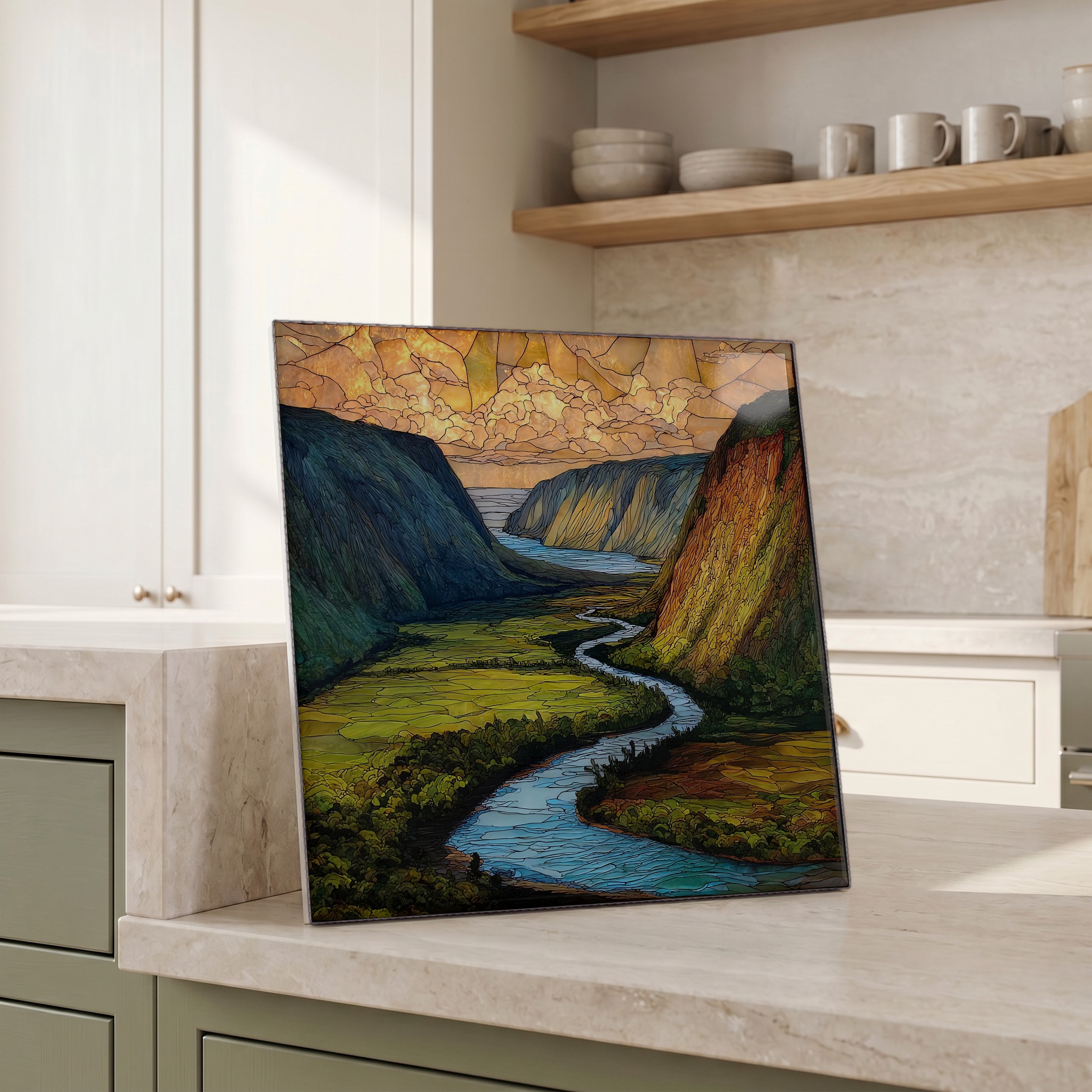
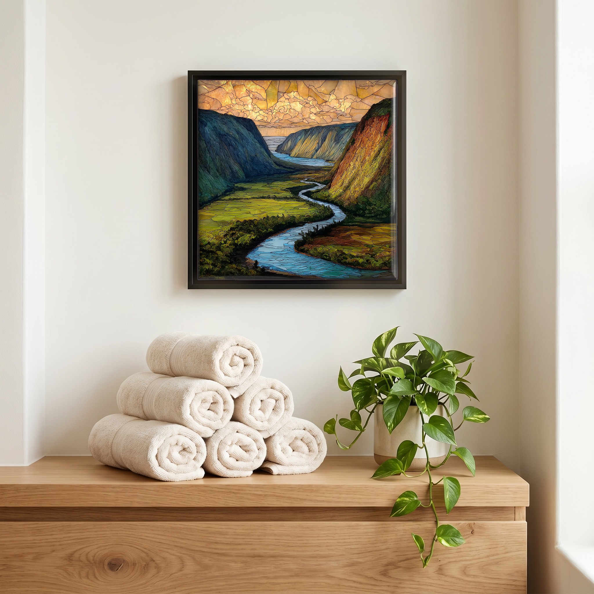
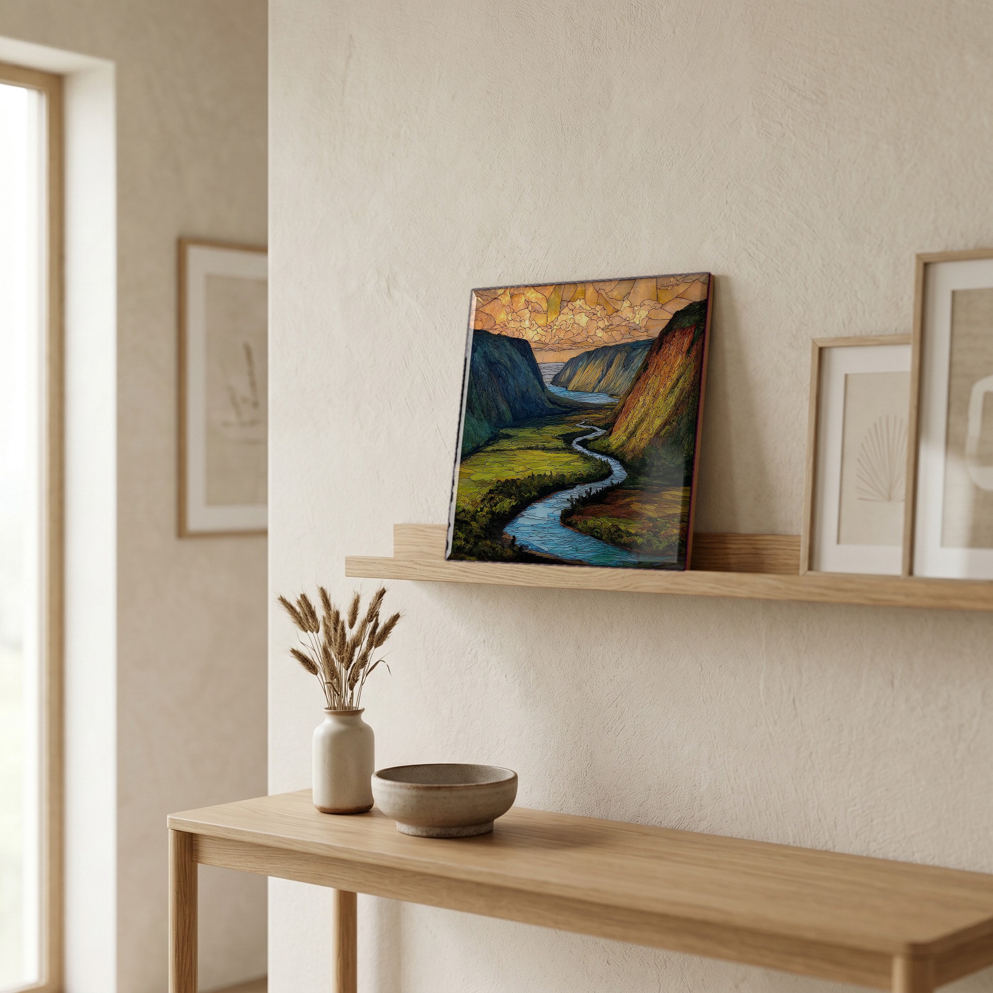
Waipio Overlook Big Island Ceramic Art Tile, on ceramic.
Each tile is finished by hand in our Knoxville studio. Artwork is slowly infused into the ceramic surface under high heat and pressure, and rests beneath a thin glossy finish. The colour lives in the surface, not on top of it.
Pick any four 4-inch tiles — National Parks you've been to, a Smokies set, the four seasons of one place. $ for a set of , cork-backed, ready to live on the table.
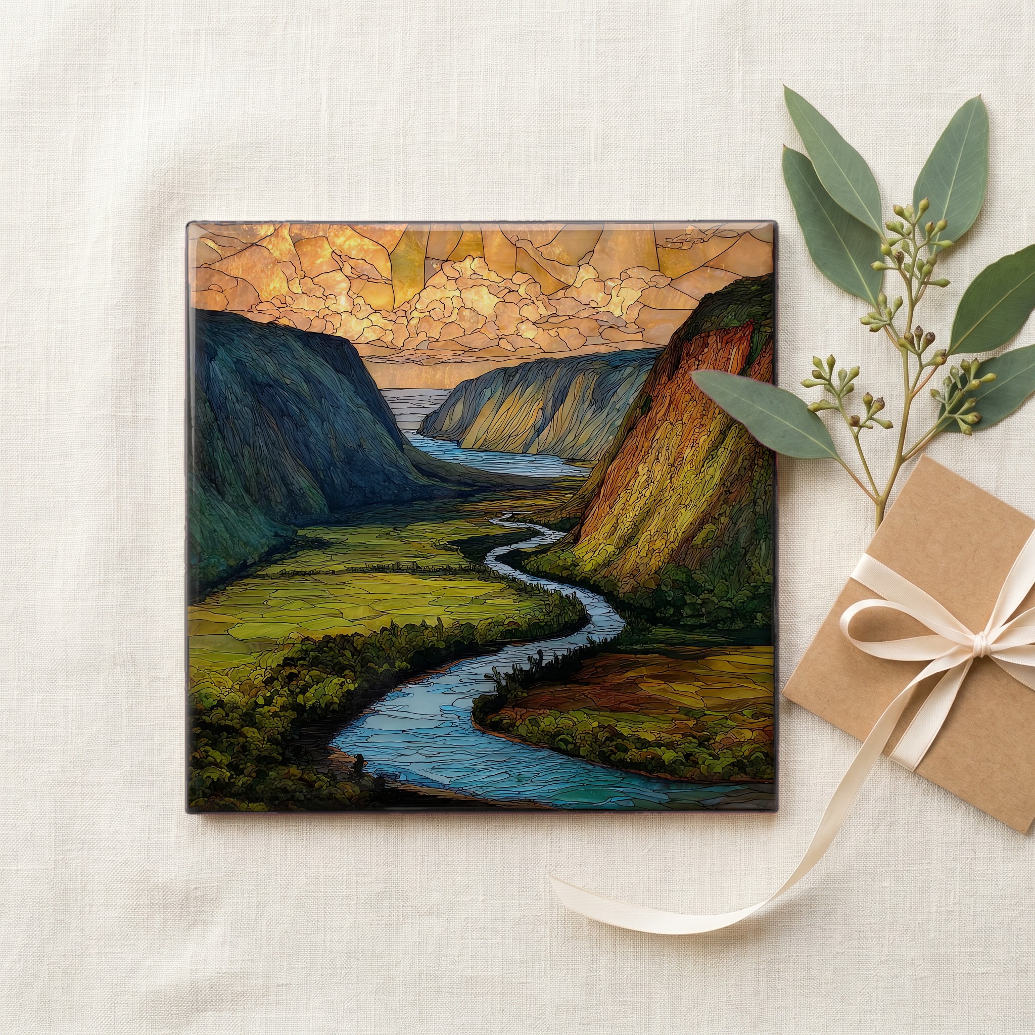
Each tile ships in a kraft box, tied with cream ribbon, with a handwritten note from the studio if you'd like to add one.

Three or five different vistas, hung together — a chapter of places you've been, or want to go.
The place, in three passes.
Waipiʻo Valley sits on the windward Hāmākua Coast of Hawaiʻi Island, the southernmost and largest of the Hawaiian Islands. The overlook is reached by Highway 240 from Honokaʻa, ending at a small parking lot above the valley rim near the village of Kukuihaele. The valley is roughly one mile wide at the coast and six miles deep, walled by cliffs that rise about 2,000 feet (610 m) above the floor. Hawaiians call it the Valley of the Kings. It was the boyhood home of Kamehameha I and the burial place of many aliʻi before him. A black-sand beach holds the mouth of the valley where two streams reach the Pacific.
Hiʻilawe Falls drops about 1,450 feet (442 m) into the back of the valley, one of the tallest waterfalls in the state, fed by Waimā Stream high on the Kohala range. The falls are sometimes visible from the overlook on clear days, threadlike against the green. Two streams, Wailoa and Hiʻilawe, run the floor of the valley and meet the sea at a black-sand beach shaped by basalt cobbles and dark volcanic sand. The water in the valley fed the loʻi kalo, terraced taro pondfields, that supported thousands of Hawaiians for centuries before contact. The 1946 Aleutian tsunami emptied the valley of its standing population; some loʻi have since been replanted.
The overlook itself is open, free, and reached by paved road. Waipiʻo Valley Road, which drops from the overlook to the valley floor, is one of the steepest paved roads in the United States, with grades reaching 25 percent. Since a series of landslides in February 2022, Hawaiʻi County has restricted vehicle access into the valley to residents and authorized commercial operators. Pedestrian access has fluctuated and is best confirmed with the county before any descent. For most visitors, the overlook is the visit. A small lot, a low railing, and the whole valley laid out below. There is no fee, and the lot fills early on weekends.