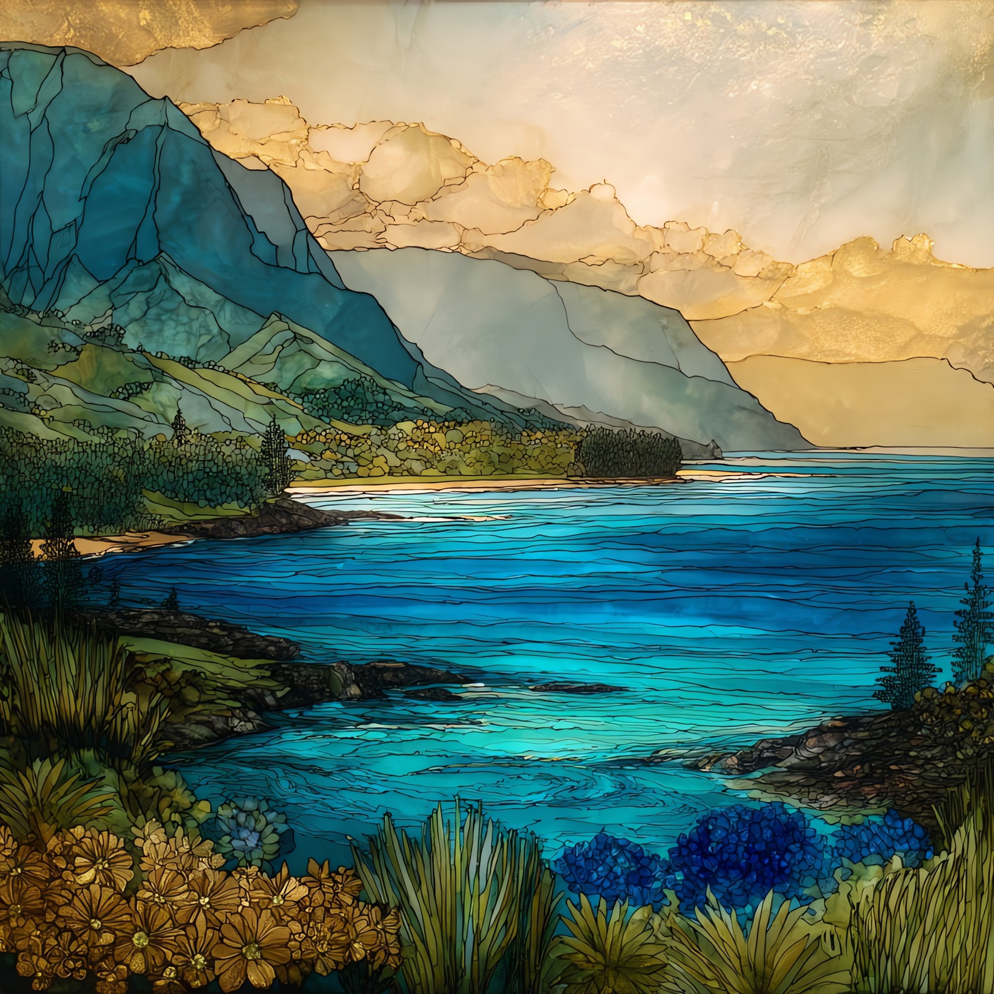
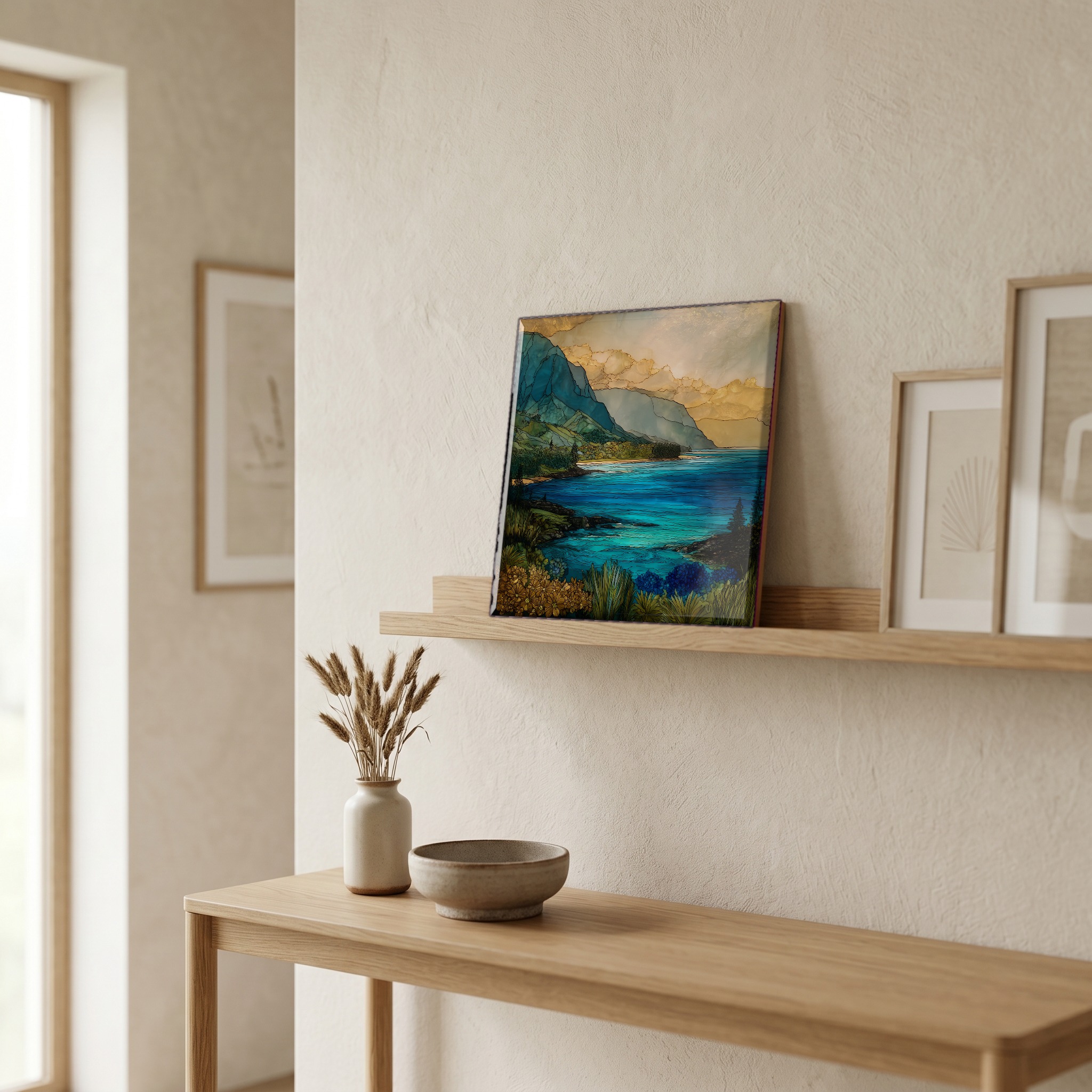
Wainiha Bay Kauai Ceramic Art Tile
— — where the rain comes home to the sea.
Not only on a wall.

“On the north shore of Kauaʻi, between Hanalei and Hāʻena. The Wainiha River comes down out of the longest valley on the island, gathered from the slopes of Waiʻaleʻale, one of the rainiest places on earth. There is no reef to slow the swell, and the surf pounds the sand hard enough that the locals do not swim here. Two one-lane bridges cross the river, and you wait your turn. The water arrives in the bay carrying the mountain. The Hawaiian name means unfriendly water. That seems about right.
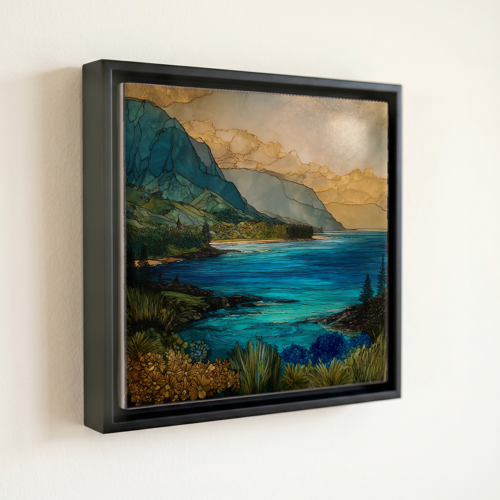
Wainiha Bay Kauai Ceramic Art Tile, on ceramic.
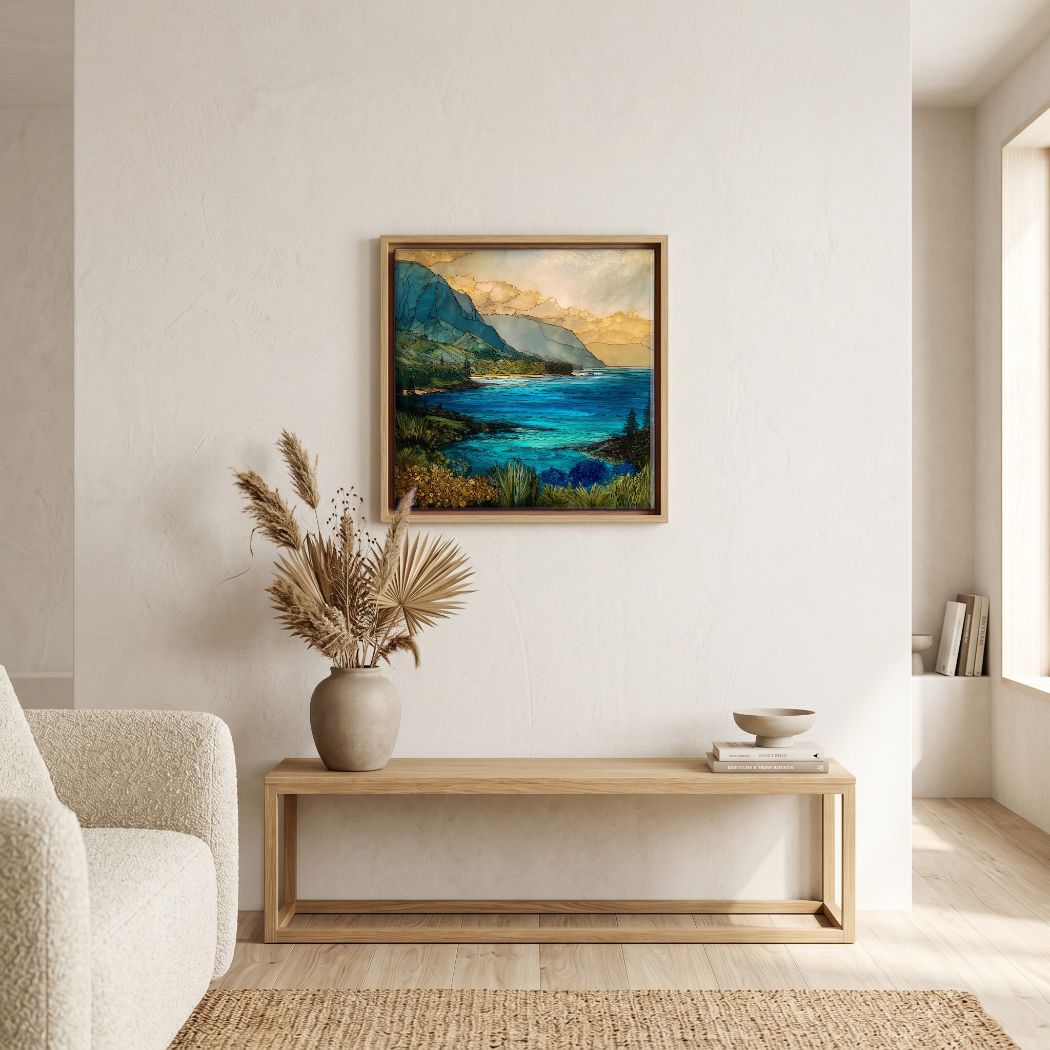
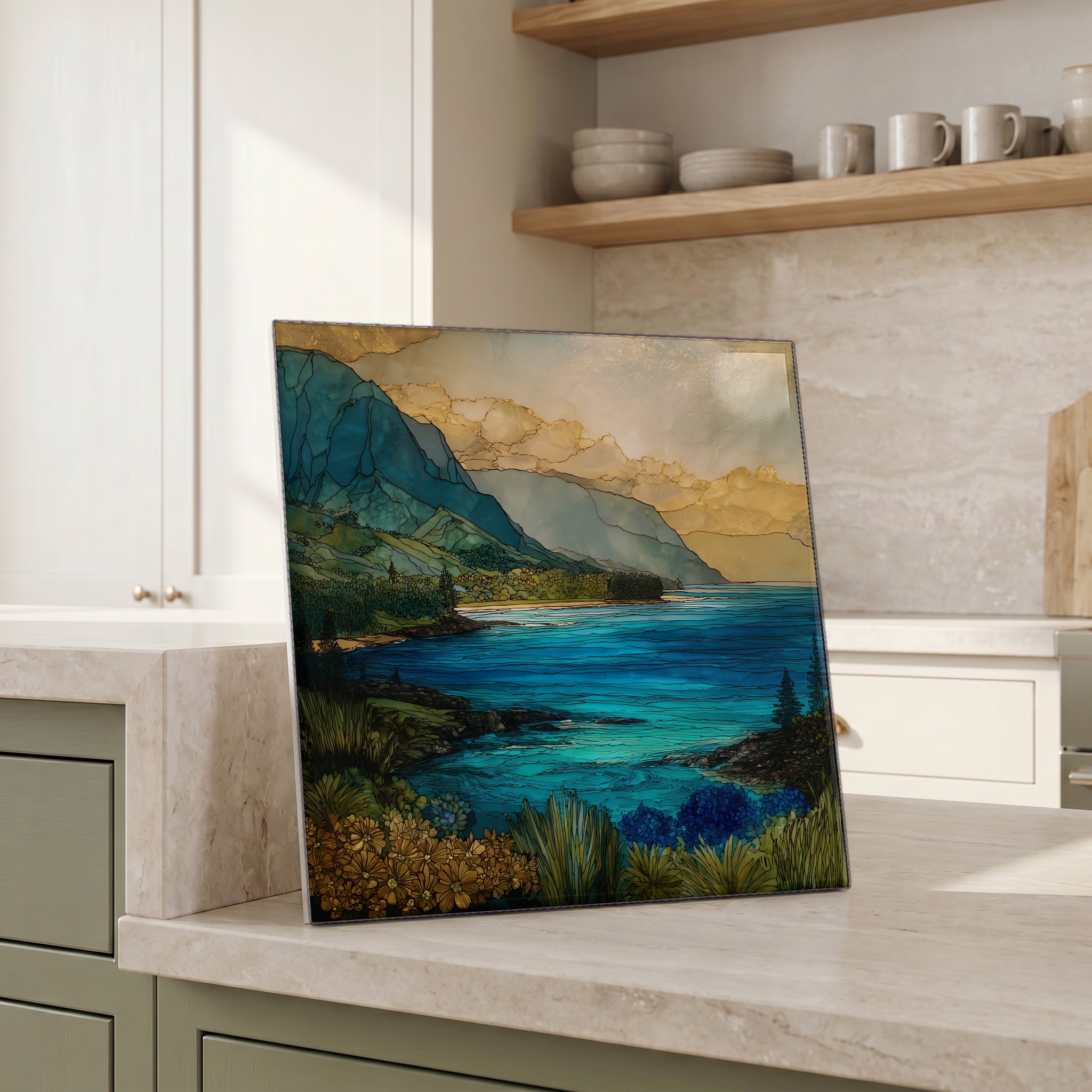
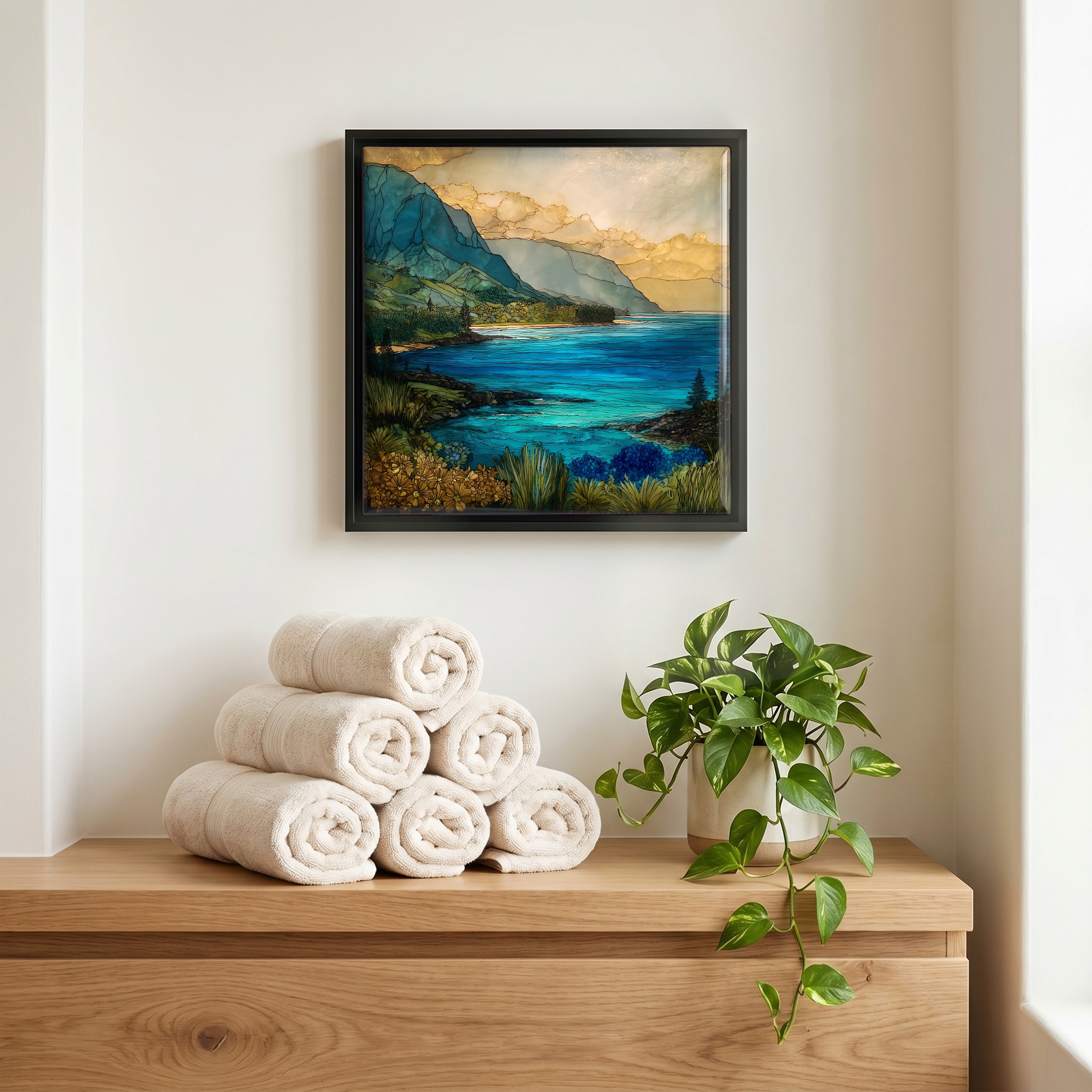
Each tile is finished by hand in our Knoxville studio. Artwork is slowly infused into the ceramic surface under high heat and pressure, and rests beneath a thin glossy finish. The colour lives in the surface, not on top of it.
Pick any four 4-inch tiles — National Parks you've been to, a Smokies set, the four seasons of one place. $ for a set of , cork-backed, ready to live on the table.
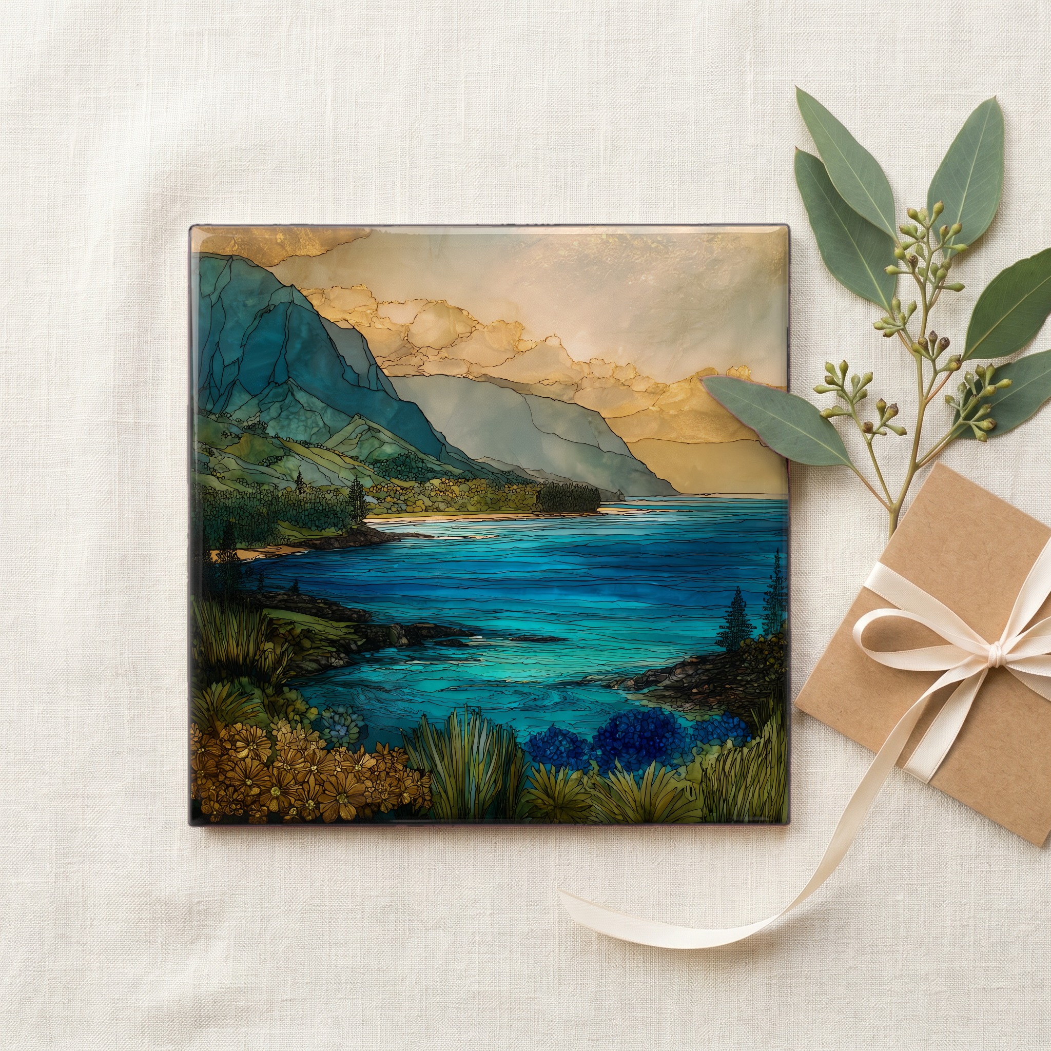
Each tile ships in a kraft box, tied with cream ribbon, with a handwritten note from the studio if you'd like to add one.
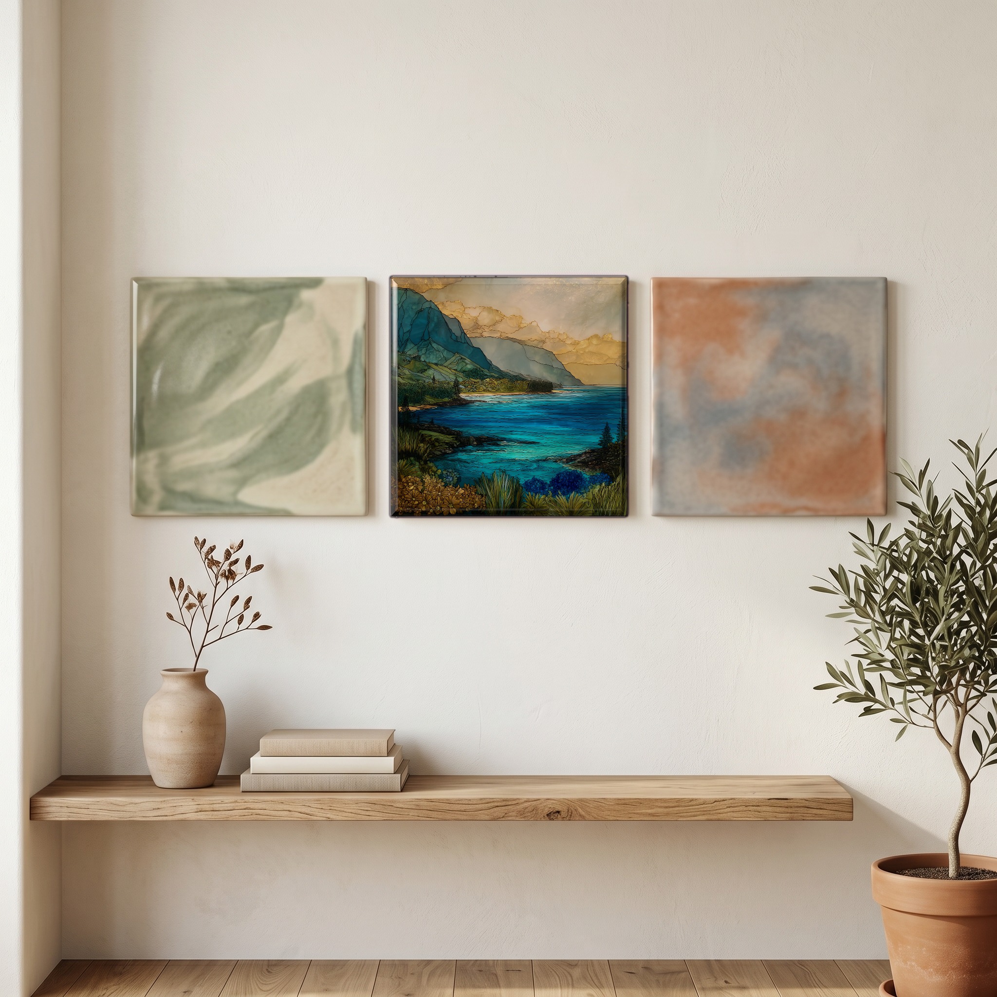
Three or five different vistas, hung together — a chapter of places you've been, or want to go.
The place, in three passes.
Wainiha Bay sits on the north shore of the island of Kauaʻi, in Kauaʻi County, Hawaii, along Kuhio Highway (State Route 560) between Hanalei to the east and Hāʻena to the west. The bay marks the seaward end of Wainiha Valley, the longest valley on Kauaʻi, which runs inland toward the central highlands and the slopes of Mount Waiʻaleʻale at 5,148 feet. The Wainiha River drains the valley and empties into the bay near mile marker 7. The surrounding community is small and was organized historically as a traditional Hawaiian ahupuaʻa, a land division running mauka to makai, mountain to sea, that integrated taro pondfields (loʻi), river fishing, and upland gathering into one self-sufficient unit.
The Wainiha River begins on the eastern flank of the Mount Waiʻaleʻale massif, which receives an annual average near 373 inches of rain, among the heaviest rainfall on earth, with a recorded high of 683 inches in 1982. That rain becomes the river, drops through Wainiha Valley, and discharges into the bay. At the shoreline there is no fringing reef to break the swell, so the surf arrives at full force and pounds the sand directly. Strong rip currents and a heavy shorebreak run in every season. The Hawaiian name Wainiha translates as 'unfriendly water,' and it was earned by the same conditions that still make the bay a place to watch rather than enter.
Access is along Kuhio Highway, Hawaiʻi State Route 560, the road that hugs Kauaʻi's north shore from Princeville to its dead-end at Kēʻē Beach. The bay sits between mile markers 6 and 7, on the makai (sea) side. Two consecutive one-lane bridges cross the Wainiha River. Drivers pull onto the shoulder to let oncoming cars across, and the second bridge curves so the line of sight is short. The beach park has parking, a small lawn, and a clear view of the surf. Swimming is not recommended at any tide; the absence of a reef, combined with rip currents and shorebreak, gives the bay its name. The right way to spend time here is on the sand, looking.