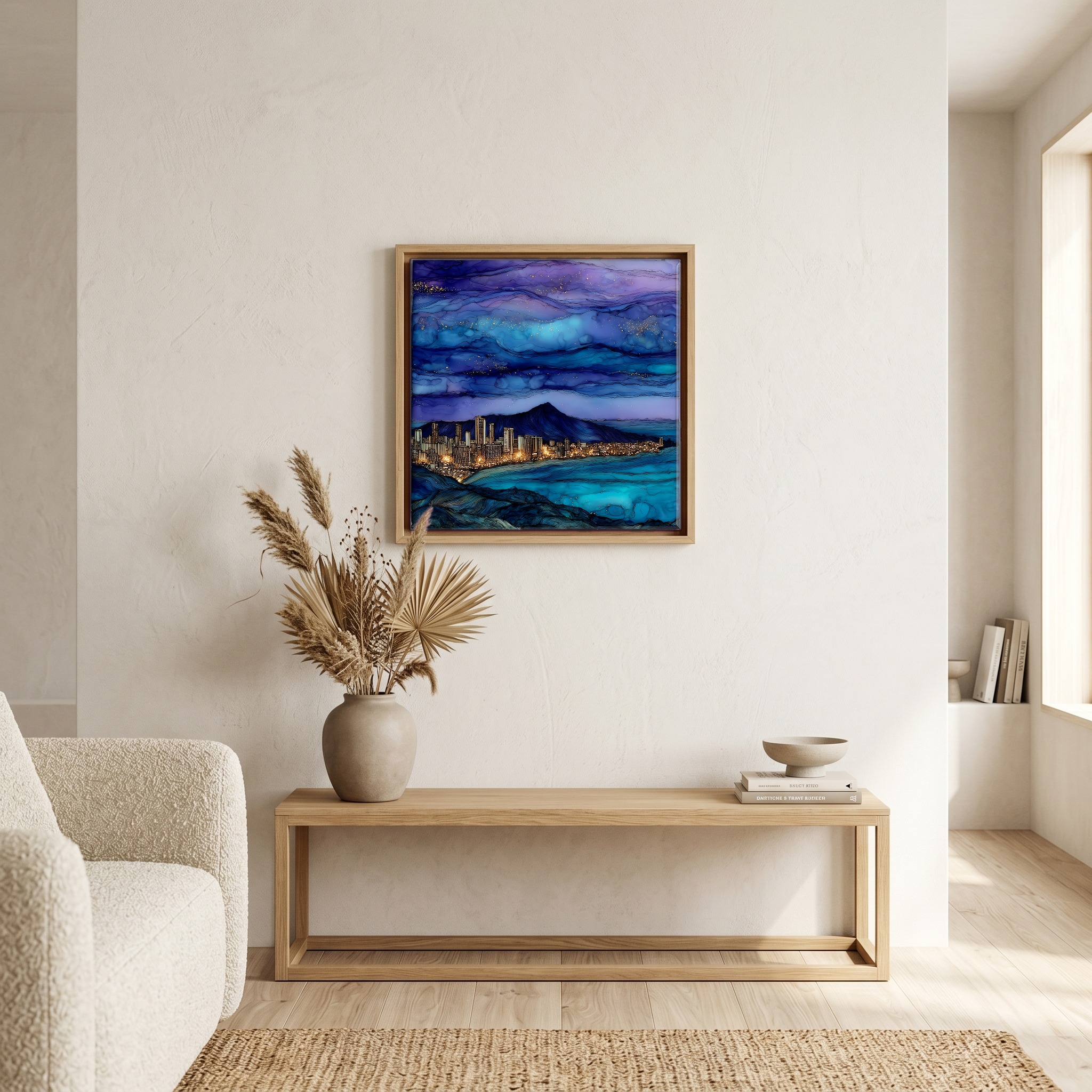
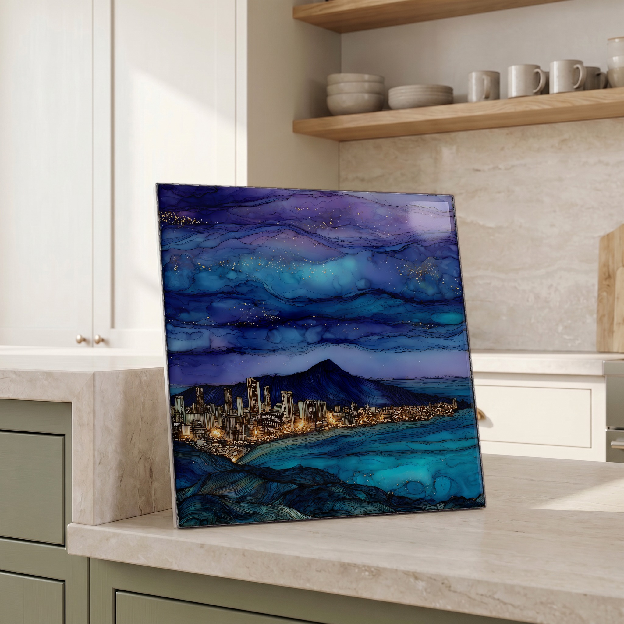
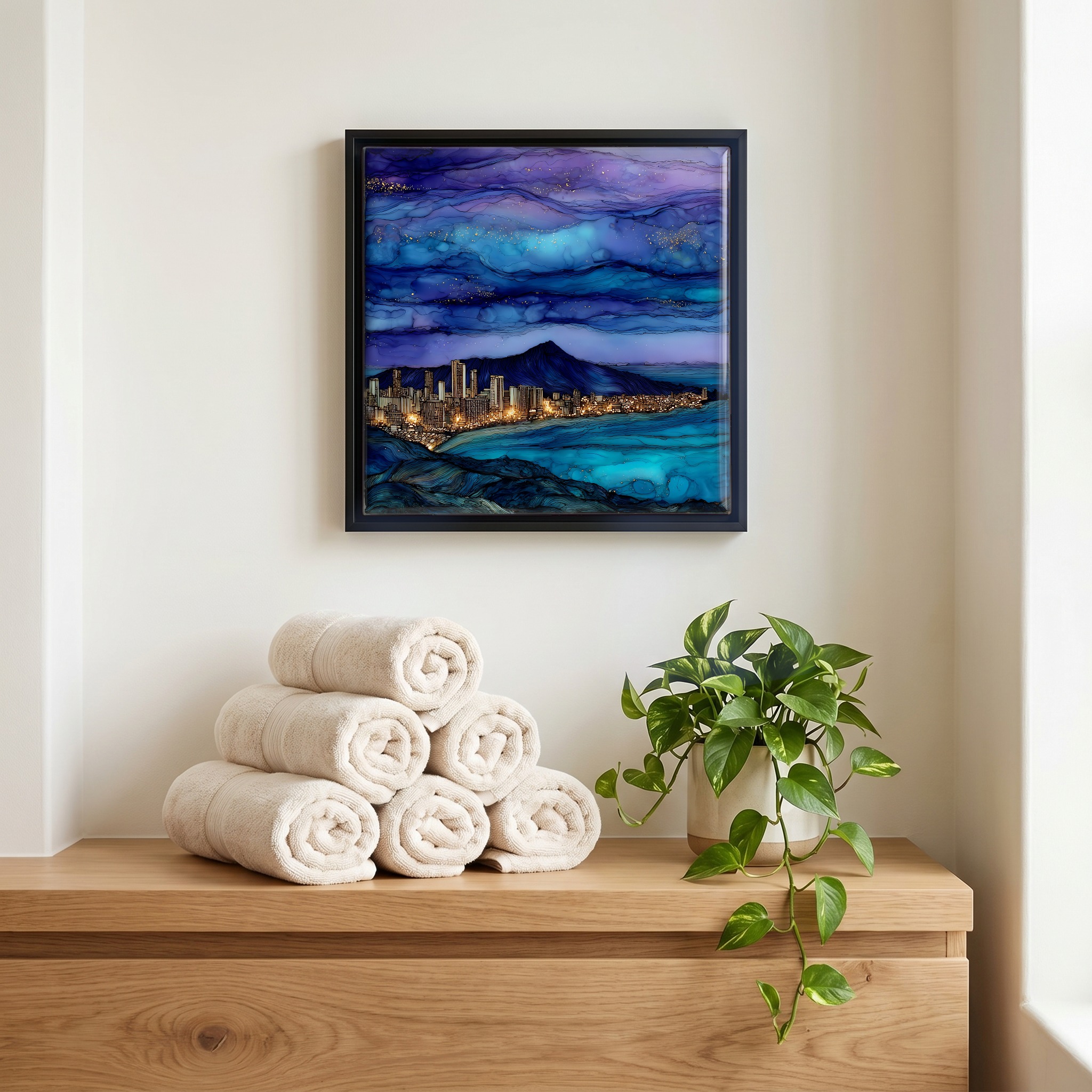
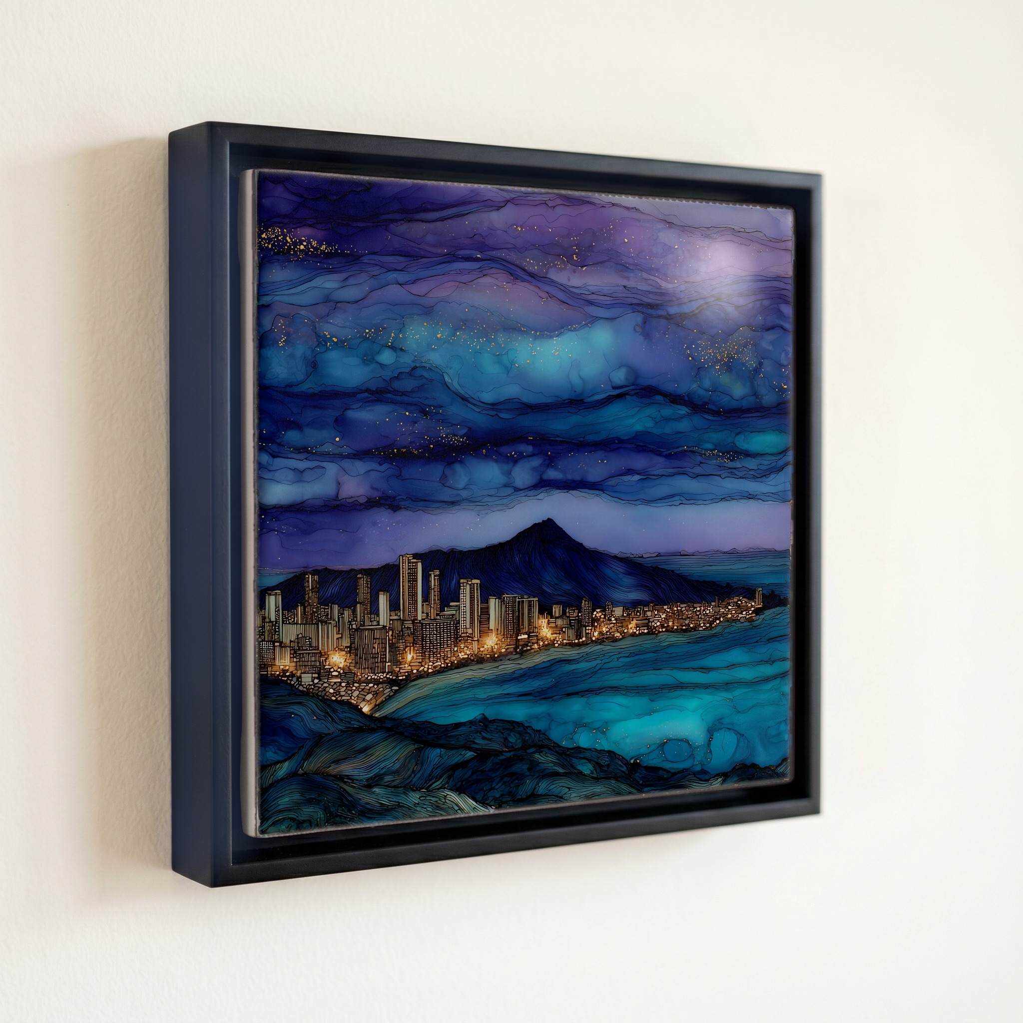
Tantalus Lookout Oahu Ceramic Art Tile
— the hour the city turns into lanterns.
Not only on a wall.

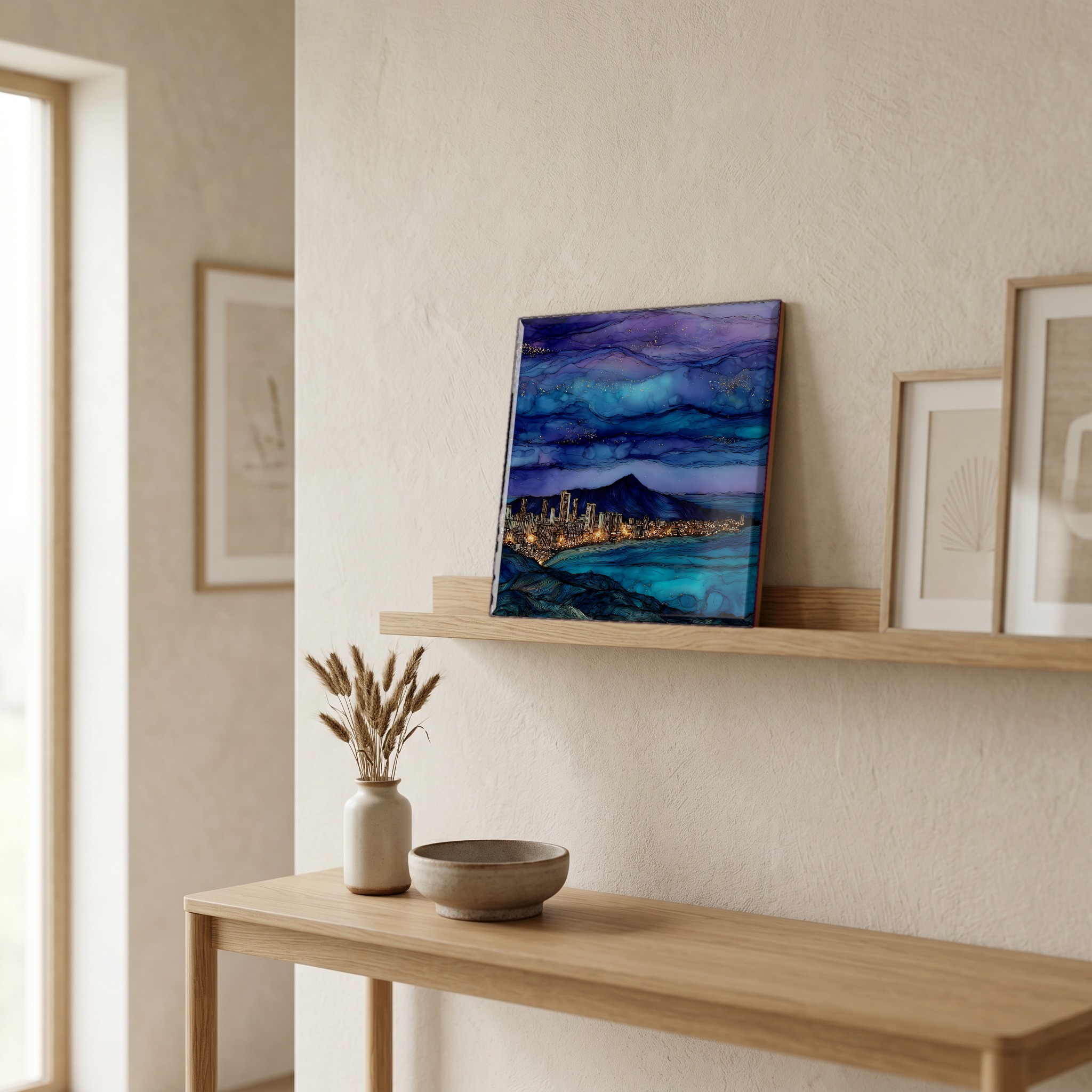
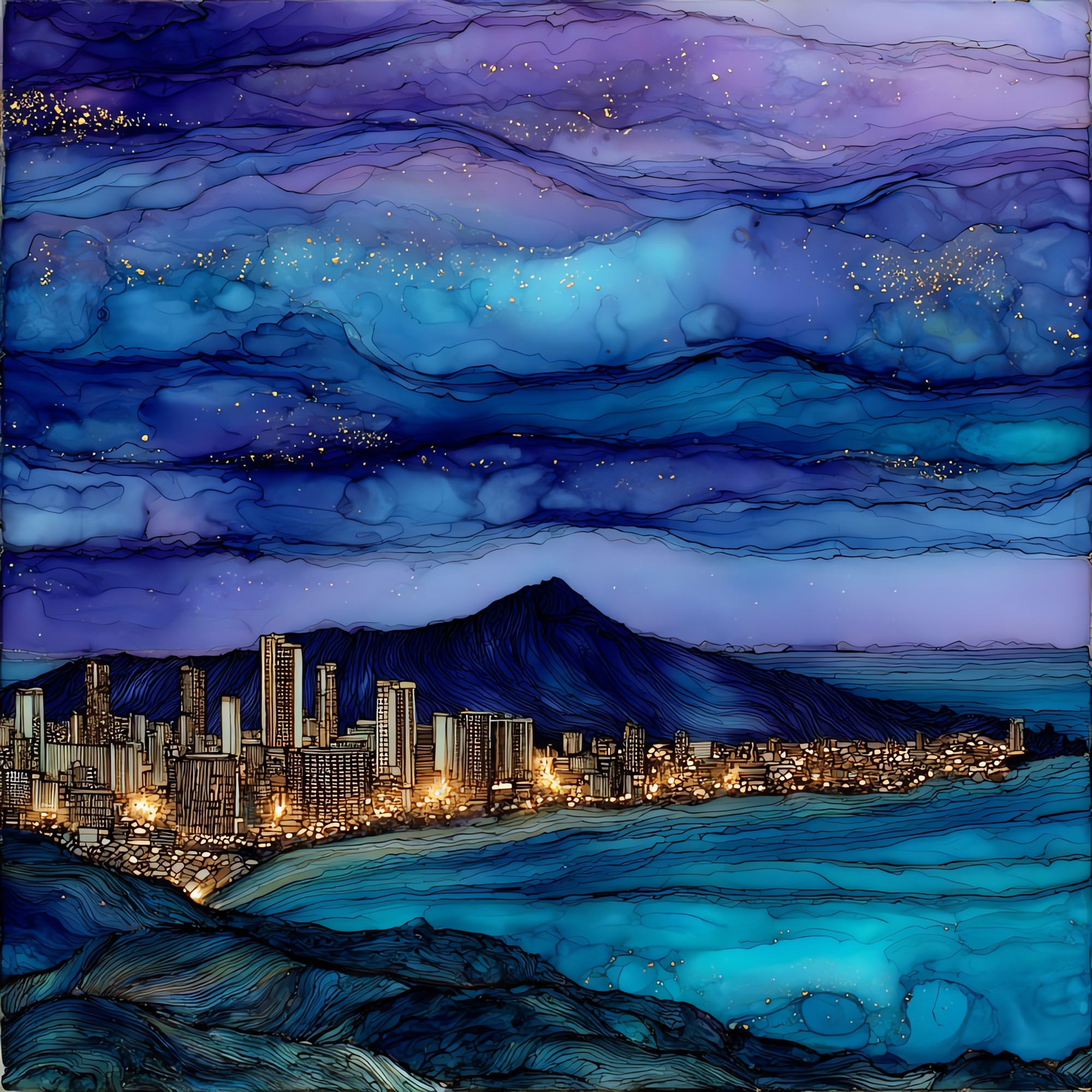
“A turn-out on Round Top Drive, above Honolulu, where the rainforest opens and the whole south coast of Oʻahu lays out below. Diamond Head sits to the east, Pearl Harbor to the west, Waikiki between. Punahou School students renamed the peak Tantalus in the late nineteenth century, after Greek myth; the older name, Puʻu ʻUalakaʻa, means rolling sweet potato hill. People come up the loop road in the late afternoon, watch the sun cross behind the Waiʻanae Range, and stay through the slow hour when the lights below come on one street at a time. The gate closes at dusk.
Tantalus Lookout Oahu Ceramic Art Tile, on ceramic.
Each tile is finished by hand in our Knoxville studio. Artwork is slowly infused into the ceramic surface under high heat and pressure, and rests beneath a thin glossy finish. The colour lives in the surface, not on top of it.
Pick any four 4-inch tiles — National Parks you've been to, a Smokies set, the four seasons of one place. $ for a set of , cork-backed, ready to live on the table.
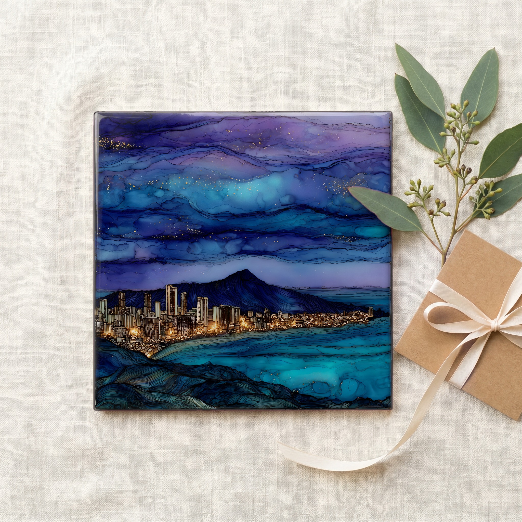
Each tile ships in a kraft box, tied with cream ribbon, with a handwritten note from the studio if you'd like to add one.

Three or five different vistas, hung together — a chapter of places you've been, or want to go.
The place, in three passes.
Tantalus Lookout sits on the southern flank of the Koʻolau Range above Honolulu, on the loop road that links Round Top Drive and Tantalus Drive through the Honolulu Watershed Forest Reserve. The marked panoramic overlook is at Puʻu ʻUalakaʻa State Wayside, about 1,048 feet (320 metres) above sea level, four miles up from the H-1 freeway. The peak above the lookout is Mount Tantalus, around 2,013 feet, renamed by Punahou School students in the late nineteenth century after the Greek mythological figure. The older Hawaiian name, Puʻu ʻUalakaʻa, means rolling sweet potato hill, after the fields said to have been planted on its lower slope under Kamehameha I.
The view from the wayside runs roughly ten miles along the south coast of Oʻahu, from Pearl Harbor in the west to Diamond Head crater in the east, with downtown Honolulu and Waikiki in the middle. Because the lookout faces south-southwest, the afternoon sun crosses the panorama rather than into the camera. The hour that pulls photographers up the loop road is the window between sunset over the Waiʻanae Range and the gate closing forty-five minutes later, when the city below comes up one block at a time. The Waiʻanae are a low silhouette behind the lights; the open Pacific carries the last of the light long after.
Puʻu ʻUalakaʻa State Wayside opens at 7 a.m. and closes at 7:45 p.m. between April 1 and Labor Day, and at 6:45 p.m. the rest of the year. Entry and parking are free. The road up is an eight-mile loop, Round Top Drive on the east side and Tantalus Drive on the west, narrow and winding with tight turns and limited shoulders. The wayside has a paved overlook with a wheelchair-accessible path, picnic tables, and restrooms. Rain showers move through the forest reserve most afternoons; the trade winds usually clear them within twenty minutes. The Mānoa neighborhood and the University of Hawaiʻi at Mānoa sit at the foot of the loop, on the inland side.