South Point Ka Lae Big Island Ceramic Art Tile
— — the wind that bends the trees and never lets up.
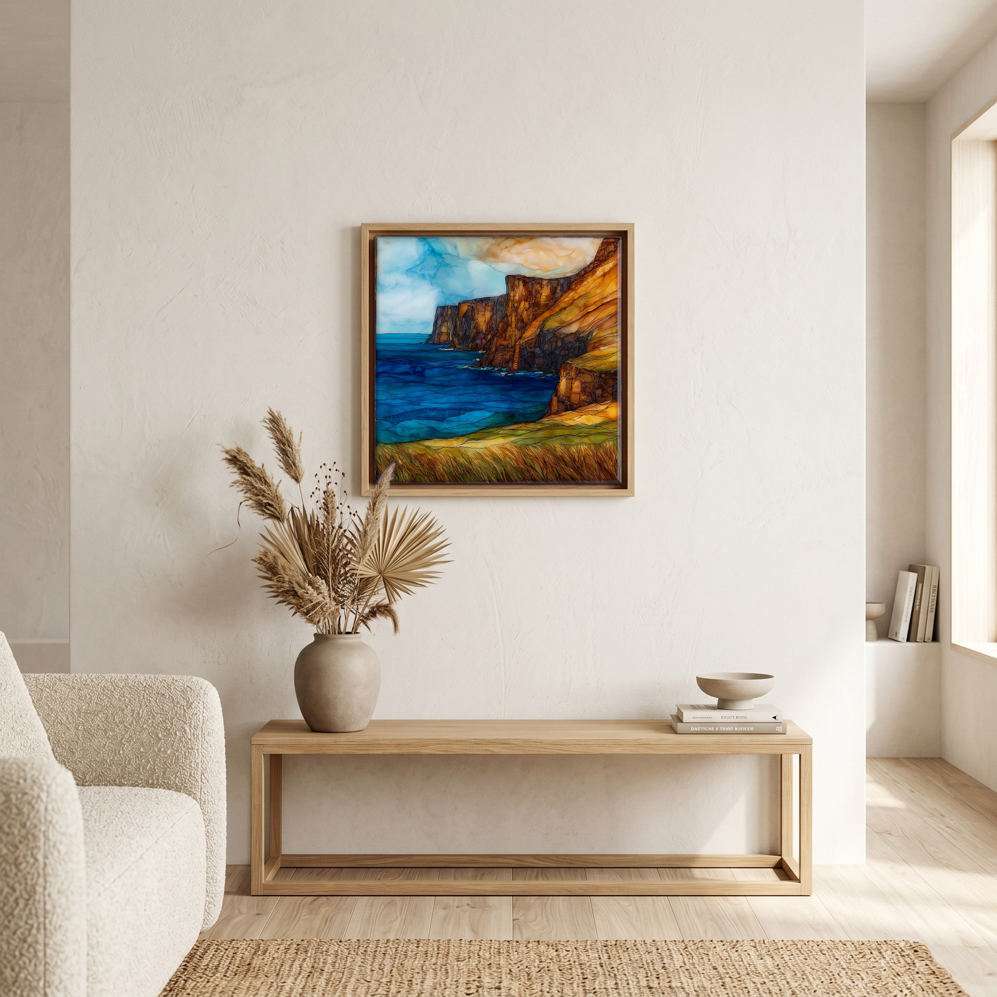
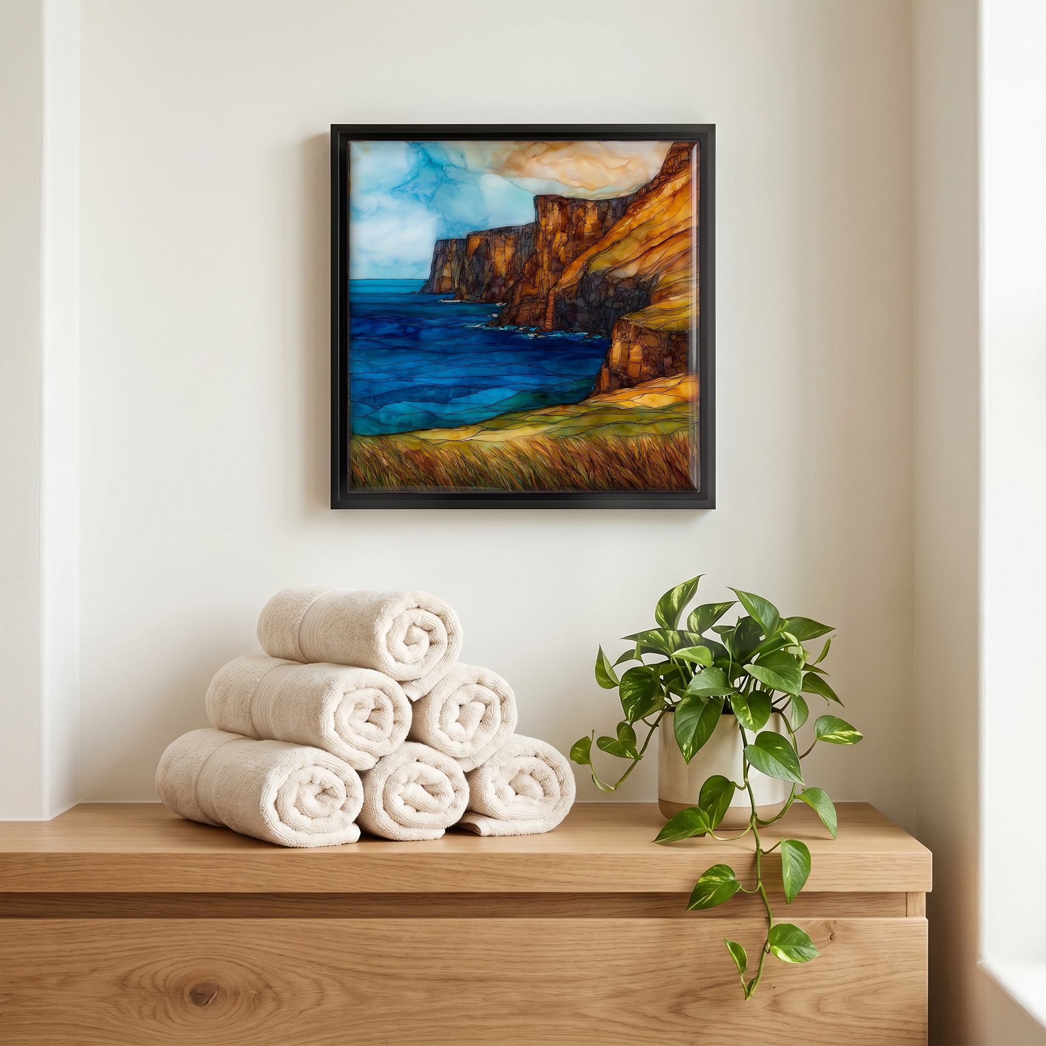
Not only on a wall.
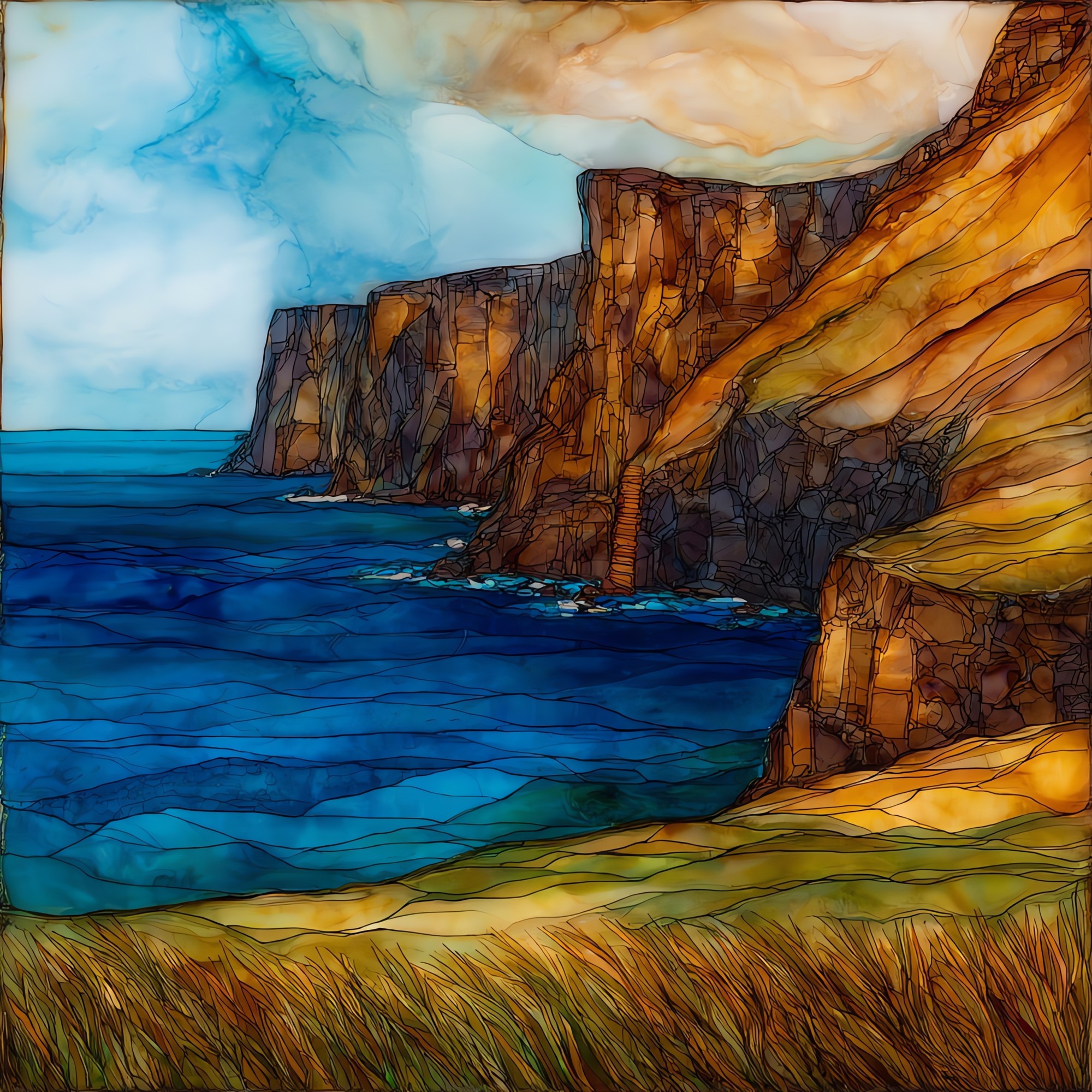
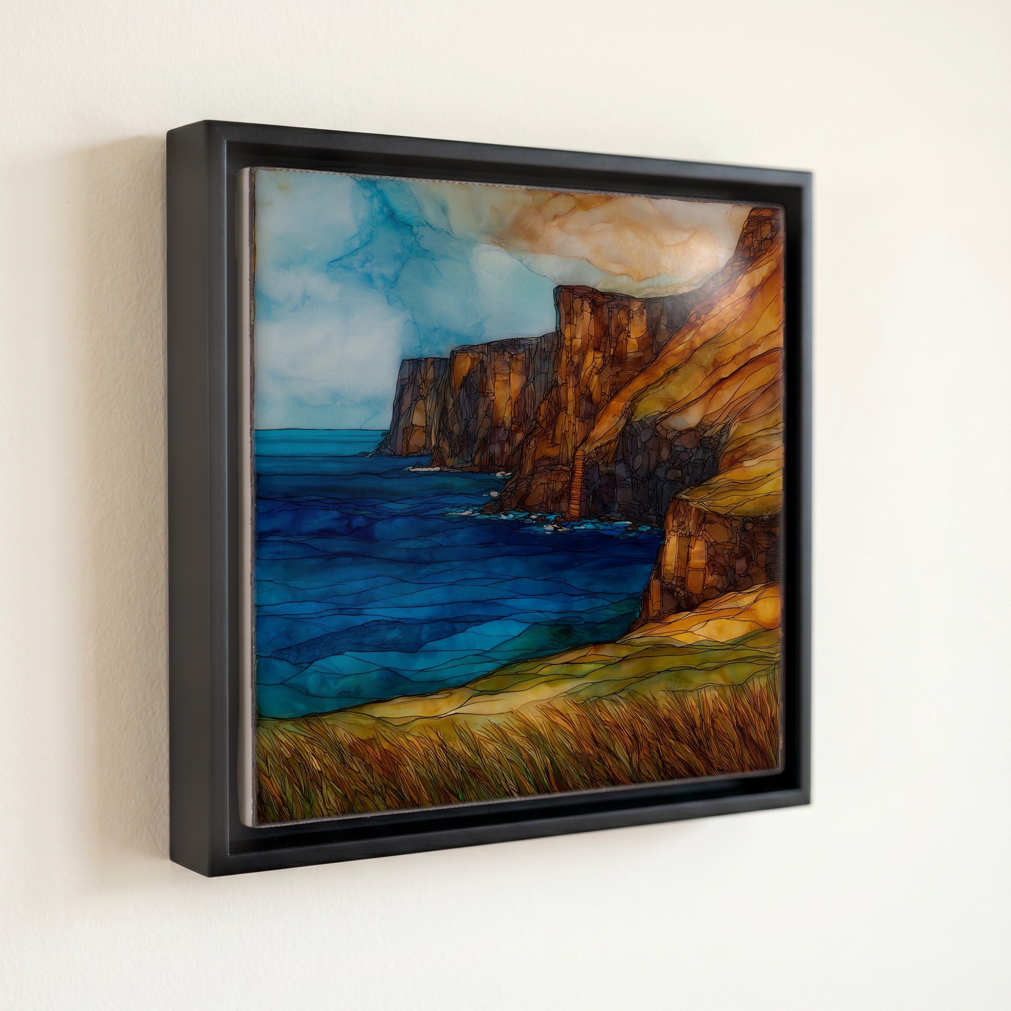
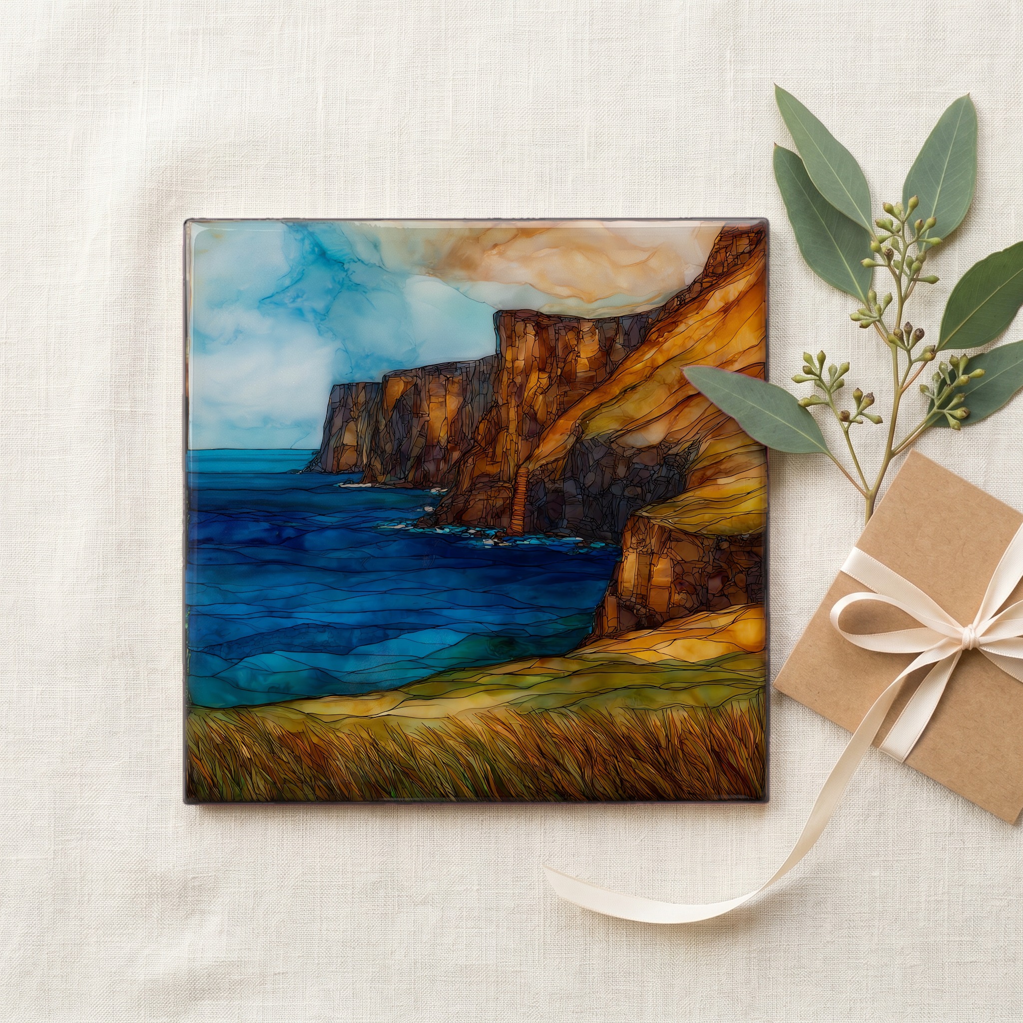
“The southernmost point of the fifty states. The Kaʻū coast at the far end of the Big Island, where early Polynesian settlers left some of the deepest archaeological evidence on the islands. The wind blows hard enough to bend the kiawe trees permanently. They grow leaning north, all of them. There are mooring holes carved into the lava cliffs where fishermen tied their canoes against the Halaea Current, which still runs the same direction it always did. The road in is twelve miles of pasture and turbines, and at the end there is nothing but black rock and open ocean.
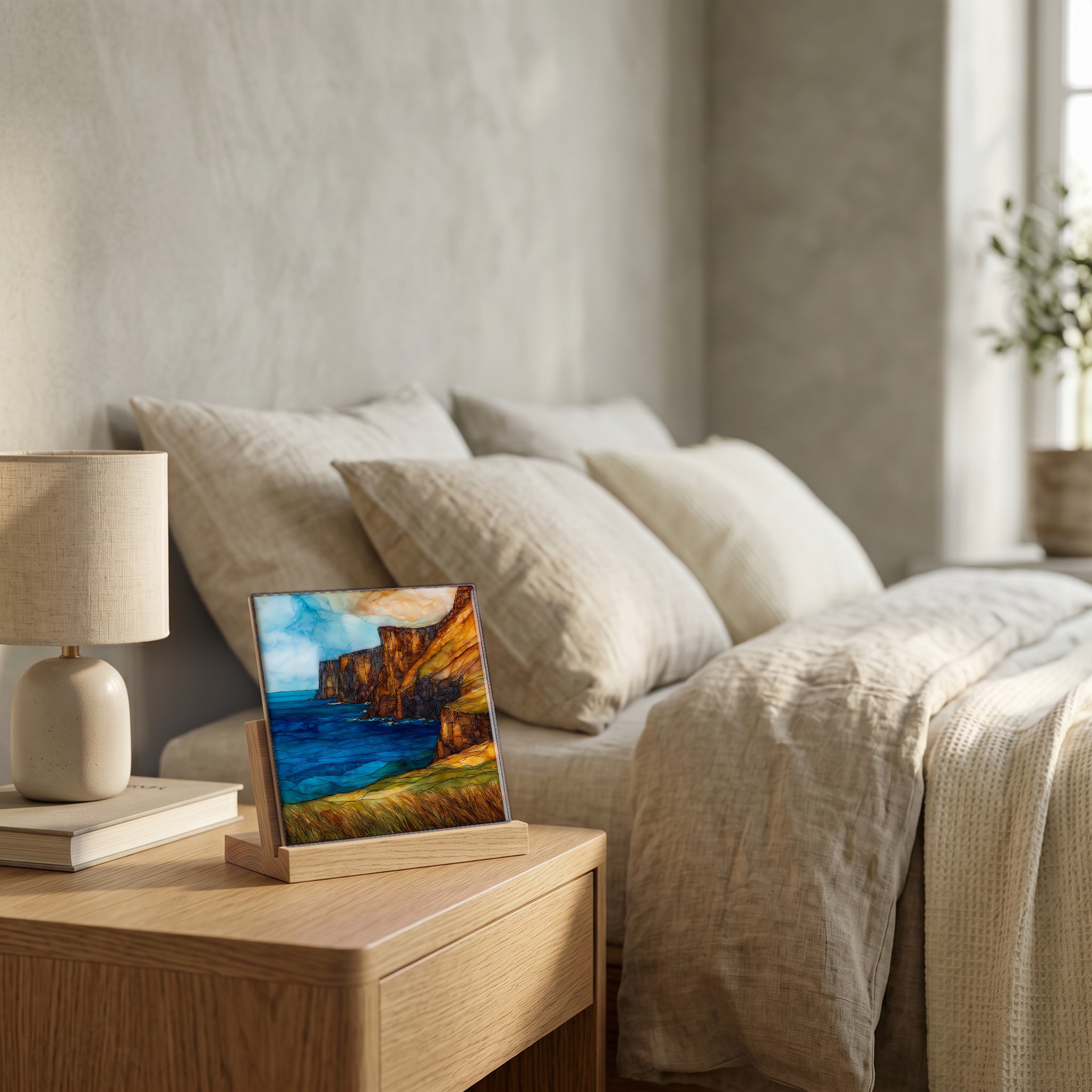
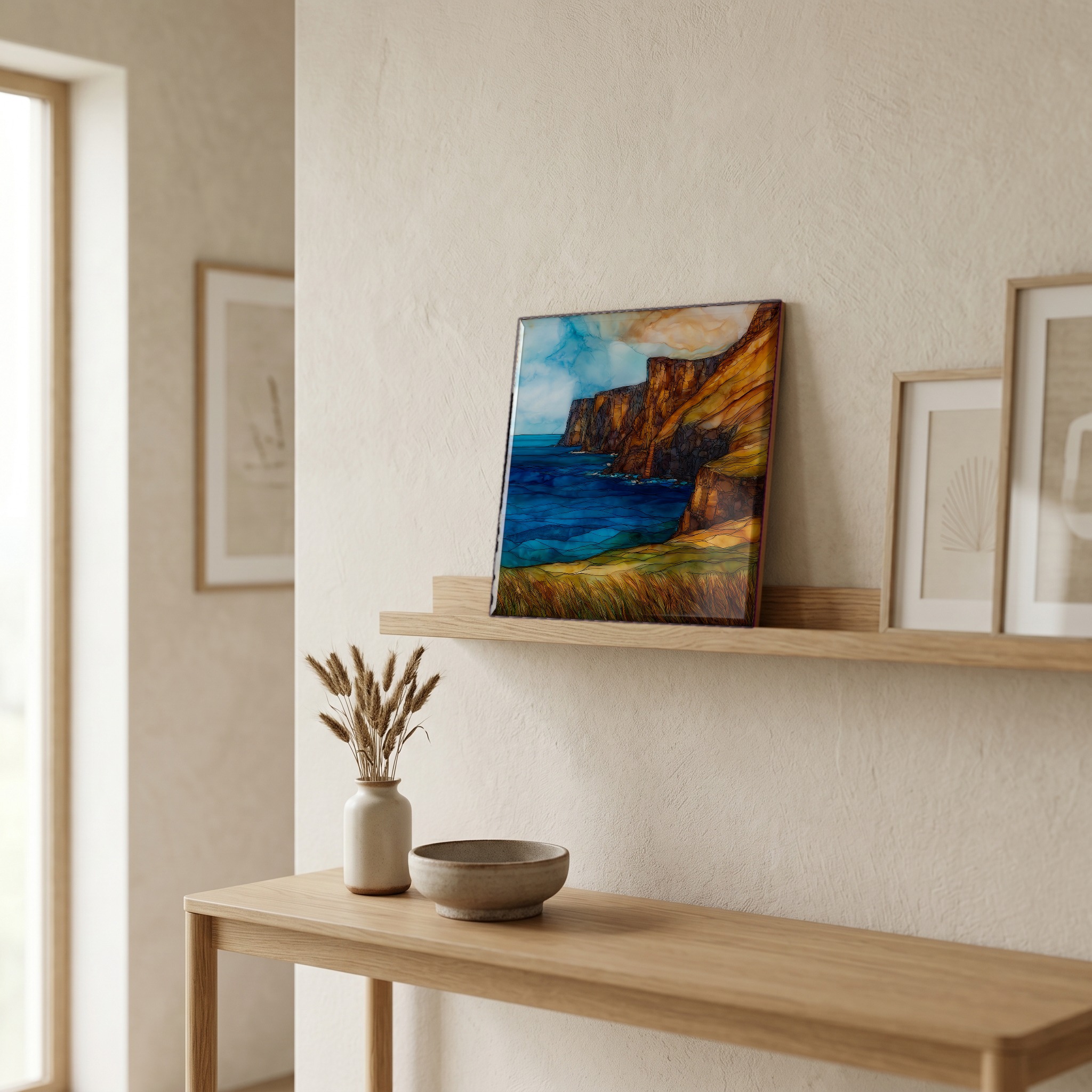
South Point Ka Lae Big Island Ceramic Art Tile, on ceramic.
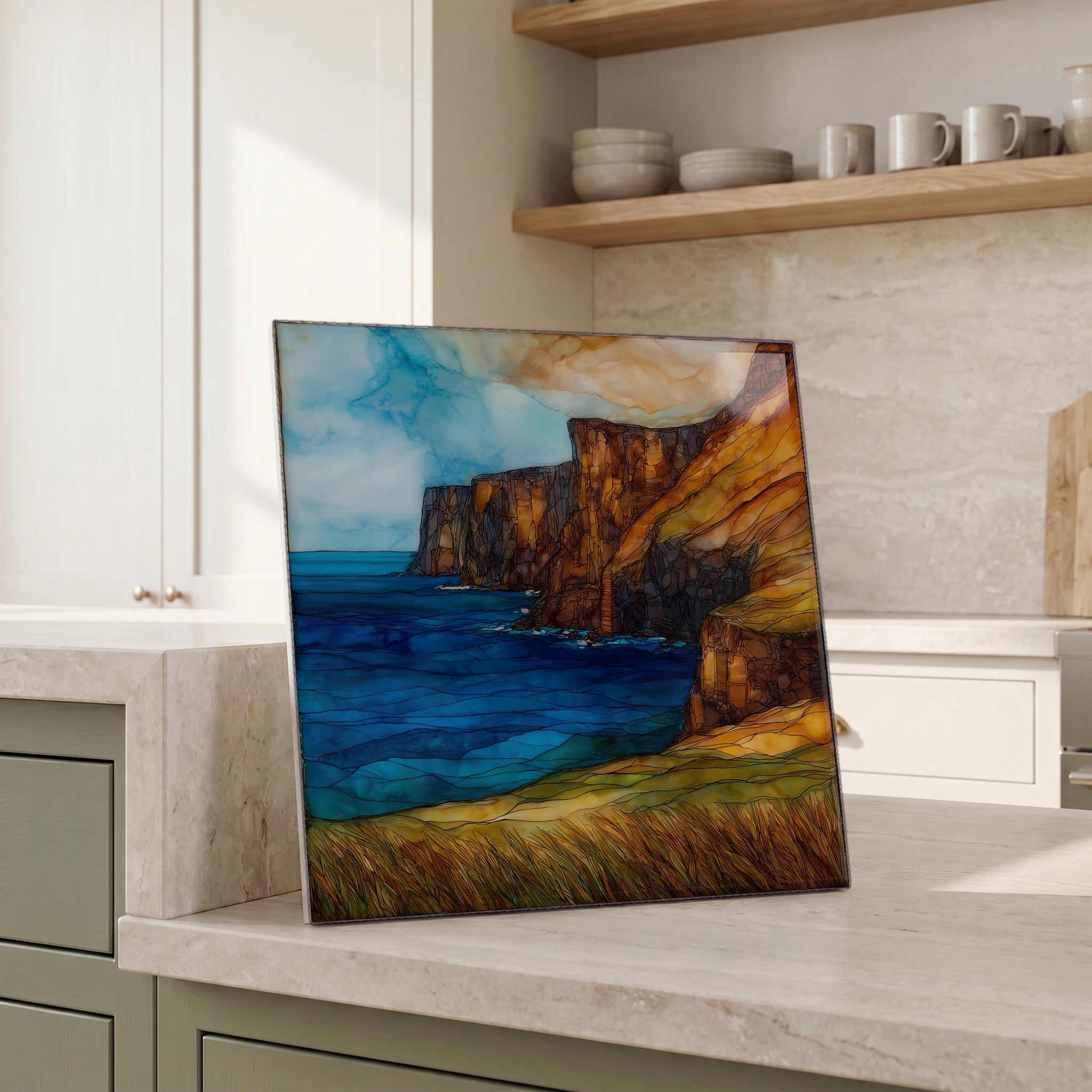
Each tile is finished by hand in our Knoxville studio. Artwork is slowly infused into the ceramic surface under high heat and pressure, and rests beneath a thin glossy finish. The colour lives in the surface, not on top of it.
Pick any four 4-inch tiles — National Parks you've been to, a Smokies set, the four seasons of one place. $ for a set of , cork-backed, ready to live on the table.
Each tile ships in a kraft box, tied with cream ribbon, with a handwritten note from the studio if you'd like to add one.
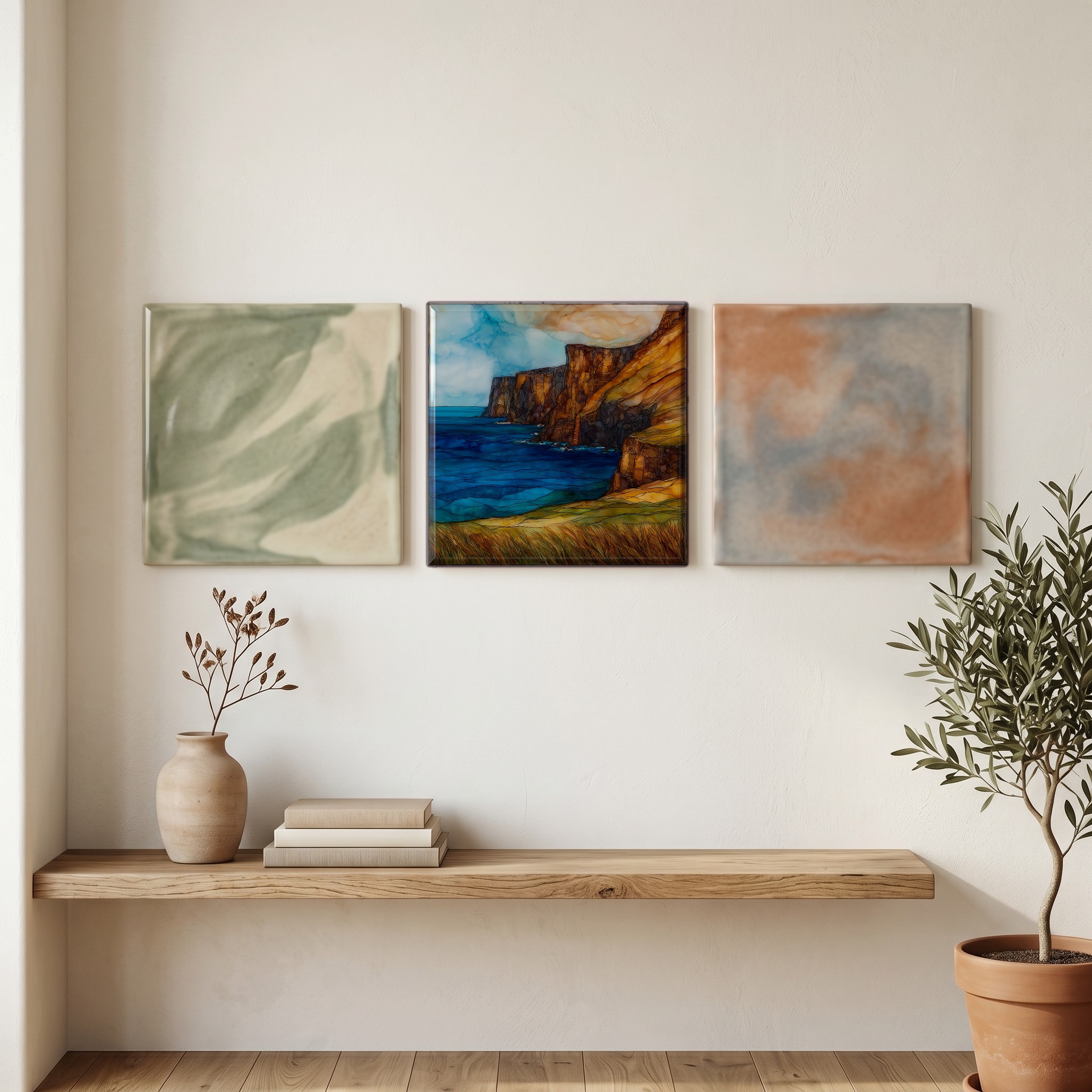
Three or five different vistas, hung together — a chapter of places you've been, or want to go.
The place, in three passes.
Ka Lae sits at the southern tip of Hawaiʻi Island in the Kaʻū District, the southernmost point of the United States at roughly 18.9° north latitude, farther south than any point in Florida or Texas. The site is reached by South Point Road, a twelve-mile spur off Hawaii Belt Road (Highway 11) that descends through ranchland and the Pakini Nui Wind Farm before ending at black lava cliffs above the Pacific. The Ka Lae Archaeological District was designated a National Historic Landmark in 1962 for the density of evidence of early Polynesian settlement on the bluff, including the Kalalea Heiau and habitation sites that are among the most studied in the islands.
The trade winds at Ka Lae blow more than three hundred days a year, often above twenty miles an hour, and the kiawe trees on the bluff grow leaning permanently to the north, shaped by decades of one-directional pressure. The same wind is the reason for the Pakini Nui Wind Farm on the road in, fourteen turbines completed in 2007 that draw power from the accelerated trade flow channeled between Mauna Loa and the open Pacific. Visitors describe the sound as a constant low hum rather than gusts; the wind is steady rather than intermittent, and what stops first is usually the visitor.
The cliffs at Ka Lae are pāhoehoe lava forty to fifty feet above the Pacific, and along their edge are the mooring holes, small carved openings in the rock where early Hawaiian fishermen ran ropes to anchor their canoes against the Halaea Current, which sweeps strongly south past the point. The holes are still there. They are not interpretive features; they are the original work, dated by archaeologists alongside the broader habitation sites of the Ka Lae Archaeological District. The same current that required them still moves past the cliffs today.