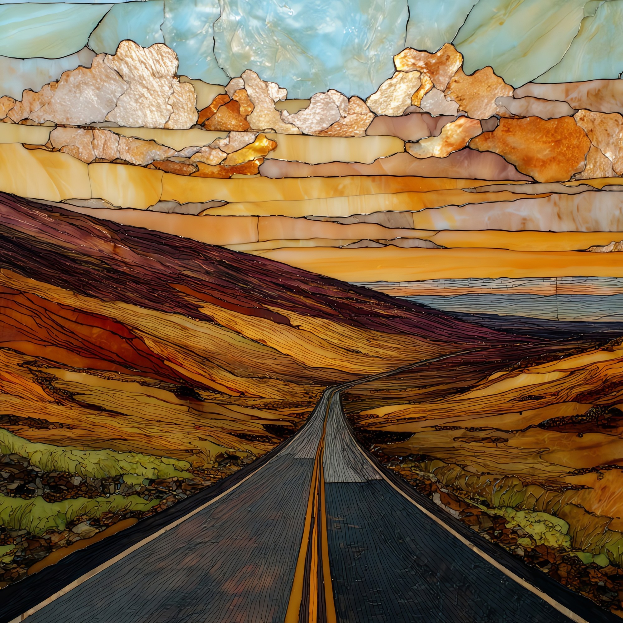
Saddle Road Big Island Ceramic Art Tile
— — the road the rain forgets.
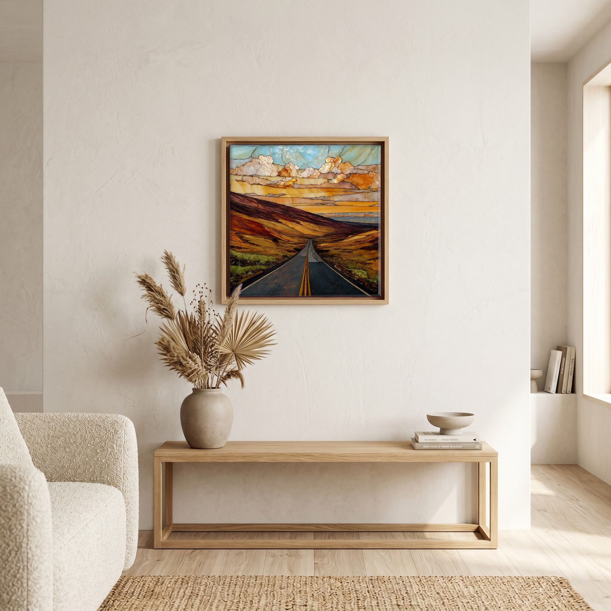
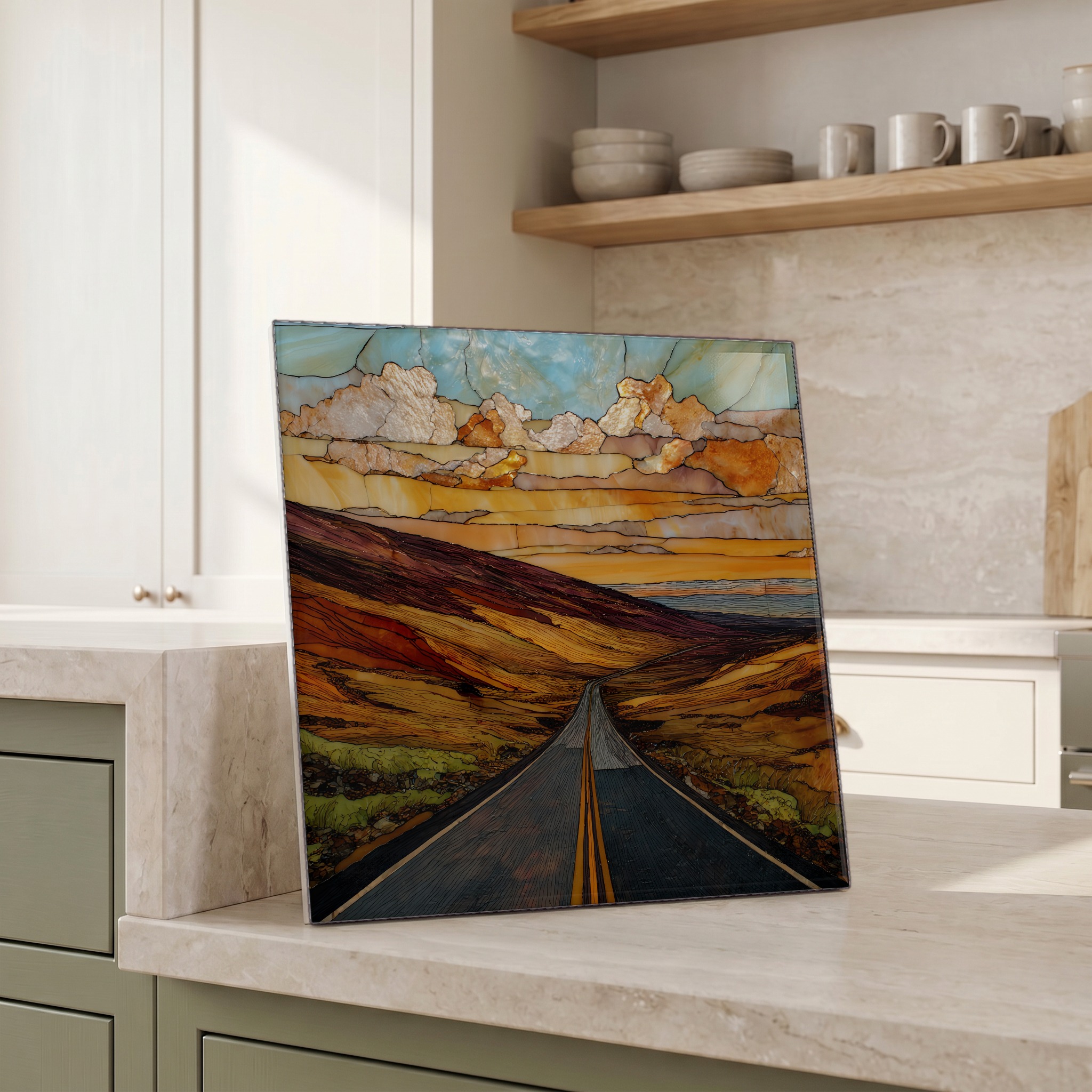
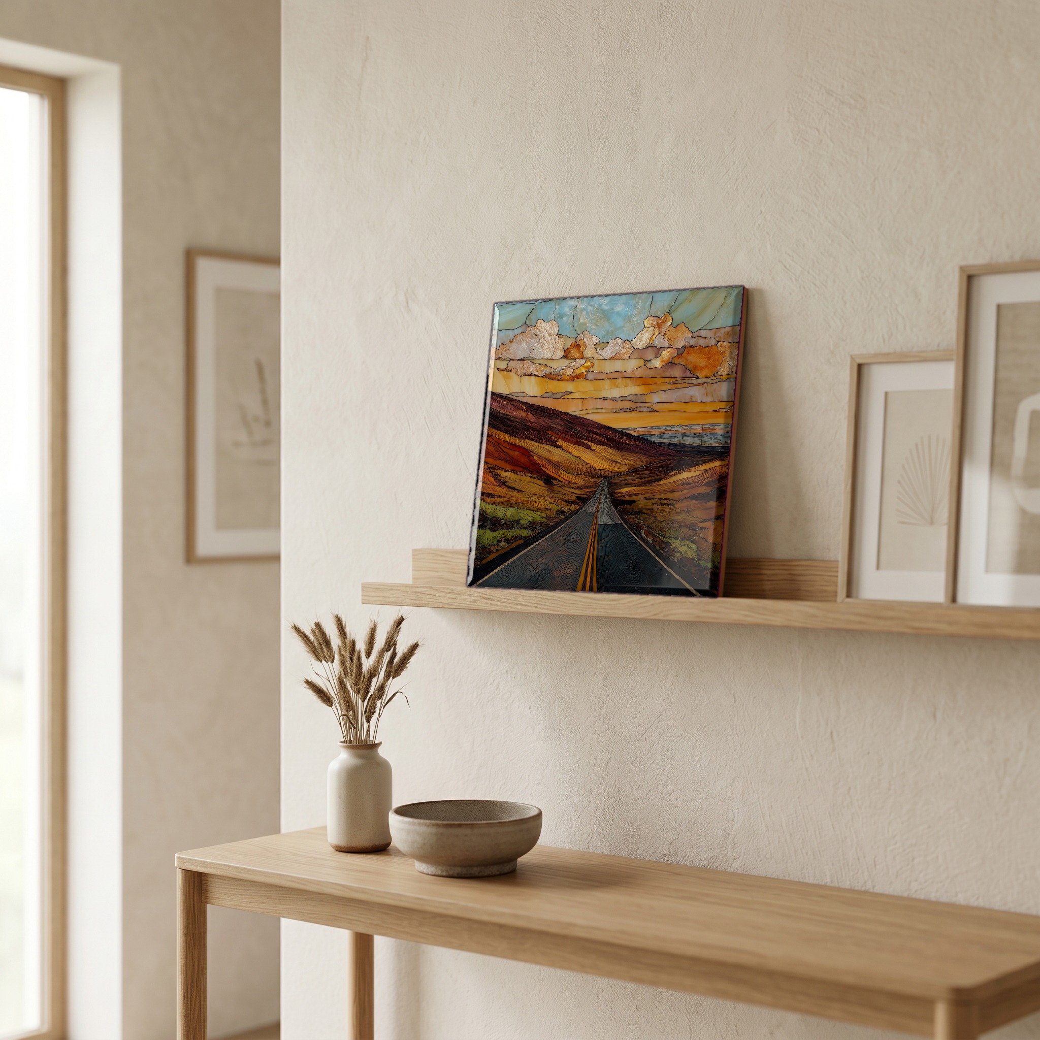
Not only on a wall.


“The pass between Mauna Kea and Mauna Loa, running across the Big Island from the rainforest above Hilo to the open country above Waimea. The road climbs out of the trade-wind clouds and the world opens into something that looks more like the moon than the Pacific. Black lava in every direction. Rental contracts used to forbid driving it. The new alignment is wider and paved and posted. The silence is the same. Puʻu Huluhulu, the small cinder cone at the saddle, is where people pull off to wait for the light.

Saddle Road Big Island Ceramic Art Tile, on ceramic.
Each tile is finished by hand in our Knoxville studio. Artwork is slowly infused into the ceramic surface under high heat and pressure, and rests beneath a thin glossy finish. The colour lives in the surface, not on top of it.
Pick any four 4-inch tiles — National Parks you've been to, a Smokies set, the four seasons of one place. $ for a set of , cork-backed, ready to live on the table.

Each tile ships in a kraft box, tied with cream ribbon, with a handwritten note from the studio if you'd like to add one.

Three or five different vistas, hung together — a chapter of places you've been, or want to go.
The place, in three passes.
Saddle Road is officially the Daniel K. Inouye Highway, Hawaii State Route 200, crossing roughly 50 miles between Hilo on the windward side of the Big Island and the junction with the Hawaii Belt Road (Route 190) near Waimea on the leeward side. The road threads the Humuʻula Saddle between Mauna Kea (4,207 m / 13,803 ft) to the north and Mauna Loa (4,169 m / 13,679 ft) to the south. These are the two most massive shield volcanoes in the Pacific. The summit of the road sits at about 6,632 ft above sea level. Realignment of the route was completed in 2013, replacing the narrow lanes and blind curves of the older alignment with a modern two-lane highway funded in part through the U.S. Department of Defense.
The pass is one of the few places in Hawaii where the trade winds lose their grip. Above about 4,000 ft the road climbs through the marine inversion layer, and travellers leaving Hilo in steady rain often emerge into dry, cold, low-humidity air with clouds spread below them like a second ocean. The saddle is alpine desert: the surface is broken pāhoehoe and ʻaʻā lava from Mauna Loa eruptions over the past several centuries, and almost nothing grows on it. The Mauna Loa Observatory, established in 1956, has measured atmospheric CO₂ continuously since 1958 from a slope just south of the saddle, because the air there is so consistently clean and well-mixed.
The current highway is well-paved and posted at 60 mph through most of its length, but Saddle Road's old reputation lingers in older rental-car contracts. Until the realignment finished in 2013, many Big Island rental agreements explicitly forbade driving it; current contracts from the major agencies typically permit it. The route is now the standard connector between Hilo and the Kona-Waimea side, and the turnoff to the Mauna Kea Access Road at Puʻu Huluhulu is a common stop for visitors heading up to the Onizuka Center for International Astronomy at 9,200 ft. Fog and rapidly shifting weather can still appear without warning, especially near the saddle in late afternoon. Active live-fire training continues at the U.S. Army's Pōhakuloa Training Area, which the road traverses; posted closures should be observed.