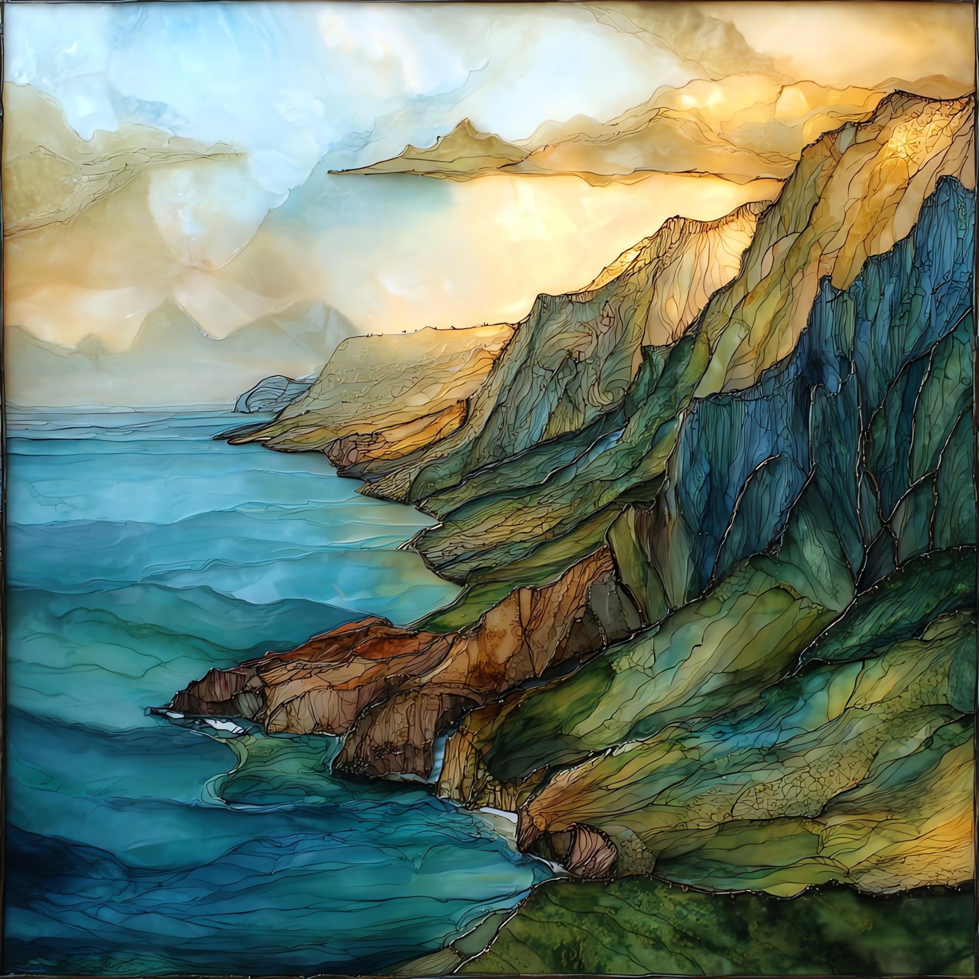
Na Pali Aerial Kauai Ceramic Art Tile
— the green the road never finds.
Not only on a wall.


“Seventeen miles of cliff that no road reaches. The northwest face of Kauaʻi folds into fluted green ridges that rise four thousand feet straight out of the Pacific, visible only from the trail, the water, or the air. The interior valleys keep their waterfalls hidden from the road that circles the rest of the island. A helicopter window holds the whole coast at once. Some of the operators cut the cabin narration over Kalalau and let the place speak for a minute.
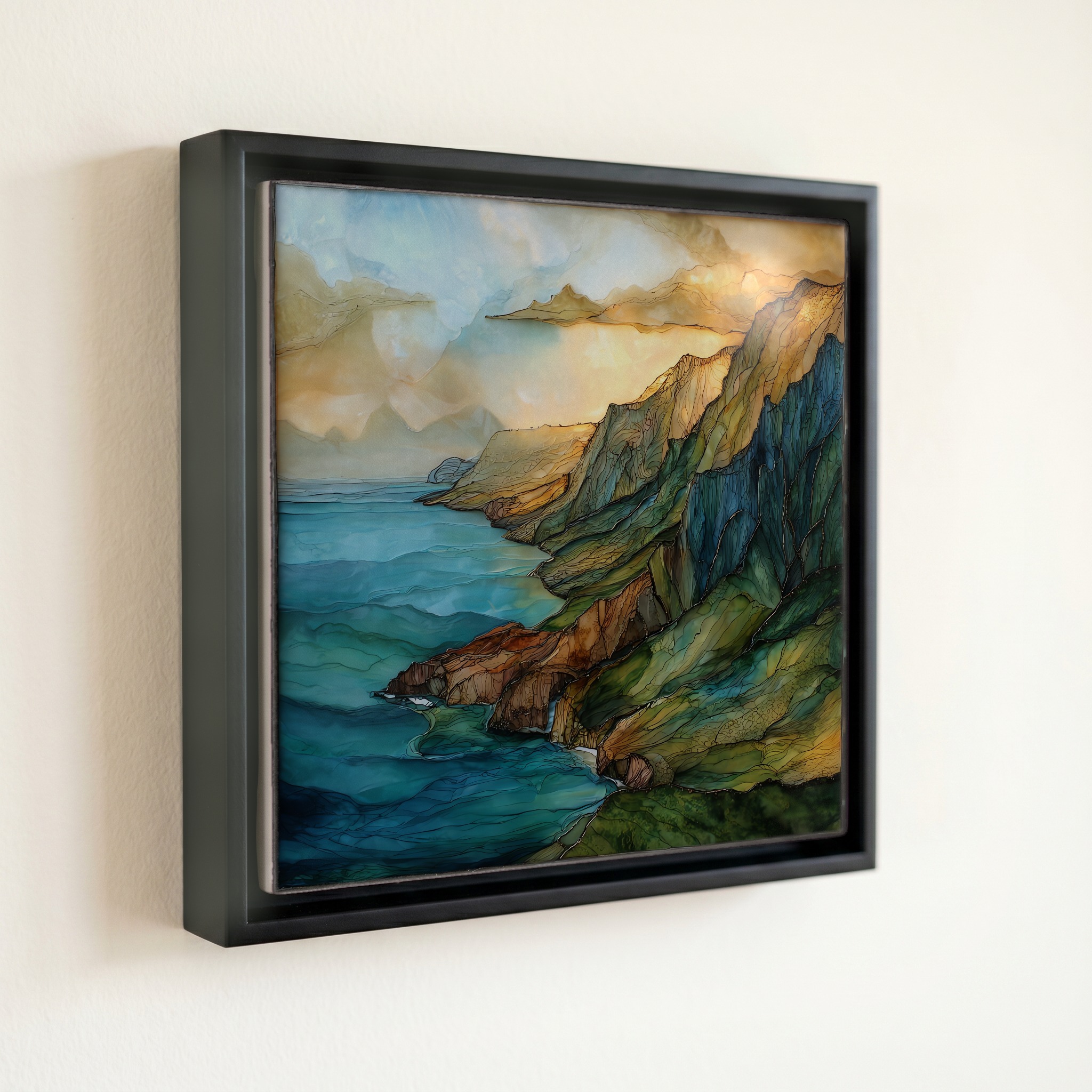
Na Pali Aerial Kauai Ceramic Art Tile, on ceramic.
Each tile is finished by hand in our Knoxville studio. Artwork is slowly infused into the ceramic surface under high heat and pressure, and rests beneath a thin glossy finish. The colour lives in the surface, not on top of it.
Pick any four 4-inch tiles — National Parks you've been to, a Smokies set, the four seasons of one place. $ for a set of , cork-backed, ready to live on the table.

Each tile ships in a kraft box, tied with cream ribbon, with a handwritten note from the studio if you'd like to add one.

Three or five different vistas, hung together — a chapter of places you've been, or want to go.
The place, in three passes.
The Nā Pali Coast runs about 17 miles along the northwest shore of Kauaʻi, between Keʻe Beach in the north and Polihale State Park in the southwest. Nā pali means 'the cliffs' in Hawaiian; the wall has been carved by wind and surf since Kauaʻi formed about five million years ago as the oldest of the main Hawaiian islands. The coastline sits inside the 6,175-acre Nā Pali Coast State Wilderness Park, established in 1983 by the Hawaiʻi Department of Land and Natural Resources. No road circles it. The cliffs are reached on foot via the 11-mile Kalalau Trail, by tour boat from Port Allen on the south shore, or from the air on helicopter tours flown out of Līhuʻe and Princeville.
What the aerial view shows that no other vantage can is the hanging valleys. Behind the seaward cliffs sit a series of amphitheater valleys named Kalalau, Honopū, Nuʻalolo, and Awaʻawapuhi, each cut by streams that drop into ribbon waterfalls and disappear back into the rock before reaching the sea. From the water you read the cliff face; from the Kalalau Trail you read what is underfoot; from the air the geometry resolves. Helicopter routes typically fly the coast at 1,500 to 2,000 feet above sea level, low enough to read the fluting on the pali but high enough to keep most of the rotor noise off the trail below.
The coast is one of the most regulated wilderness areas in the state. The Kalalau Trail beyond Hanakāpīʻai Beach requires an overnight permit from Hawaii State Parks, capped at 60 permits per night. Day-use parking and the shuttle at Hāʻena State Park are also reservable in advance and sell out weeks ahead. Helicopter operators fly from Līhuʻe Airport in every season, with most tours running 50 to 65 minutes. Catamaran and zodiac boats leave from Port Allen from May through September, when the summer swell calms. Winter rains can close the trail without notice; the air remains the most reliable way to see the full coast.