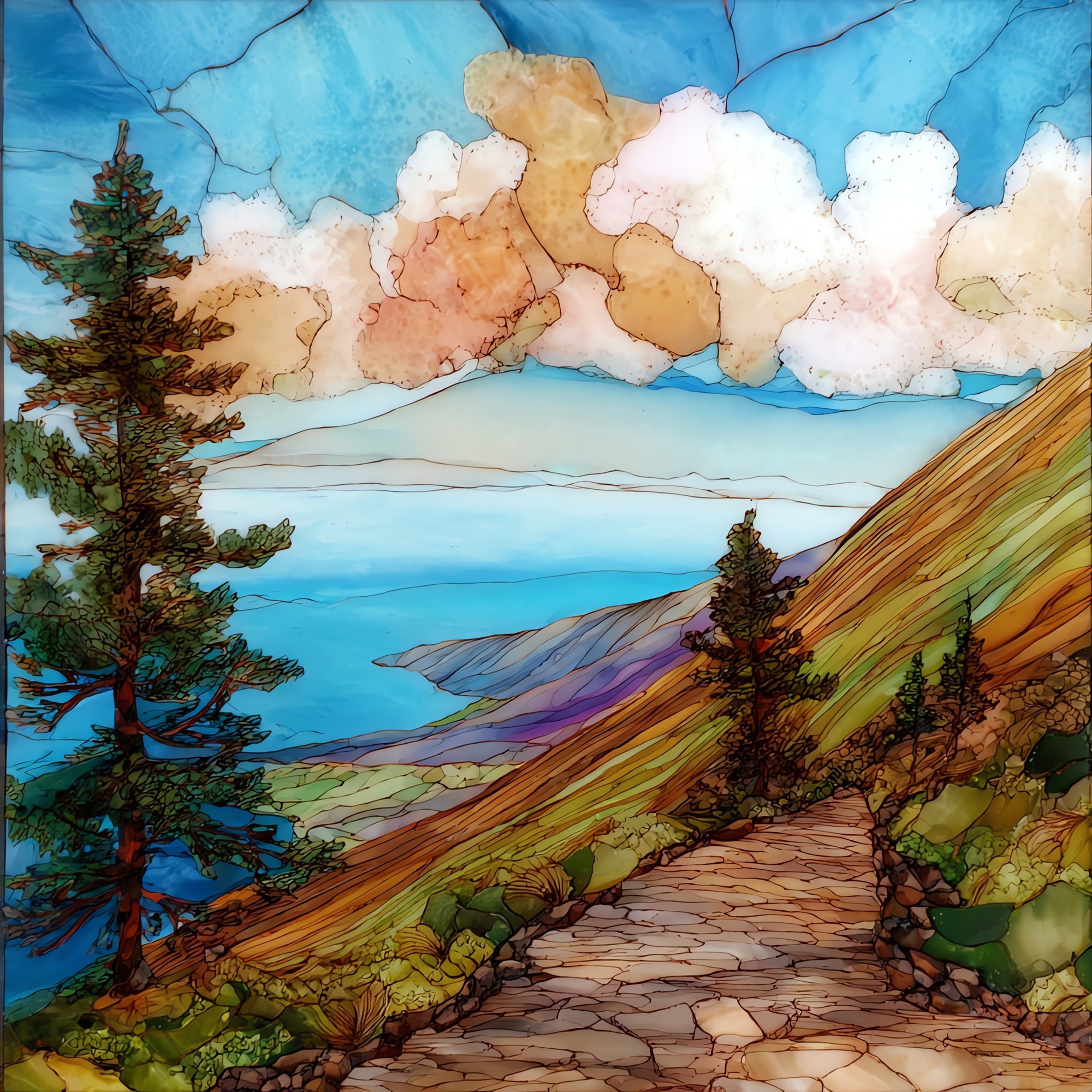
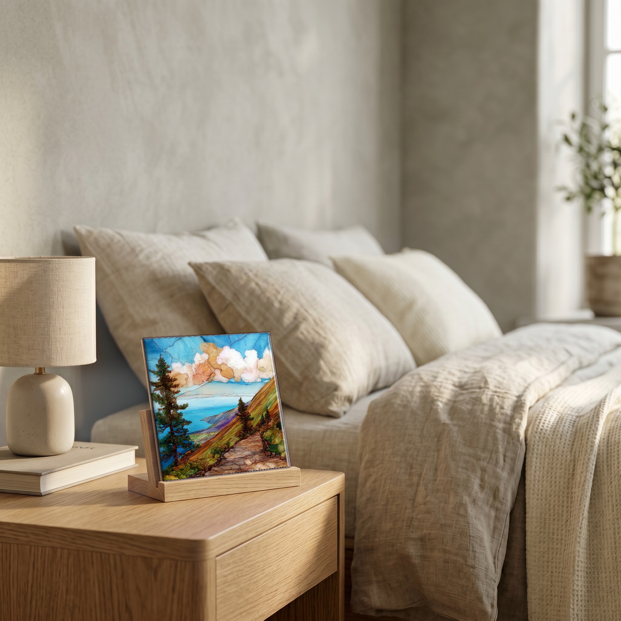
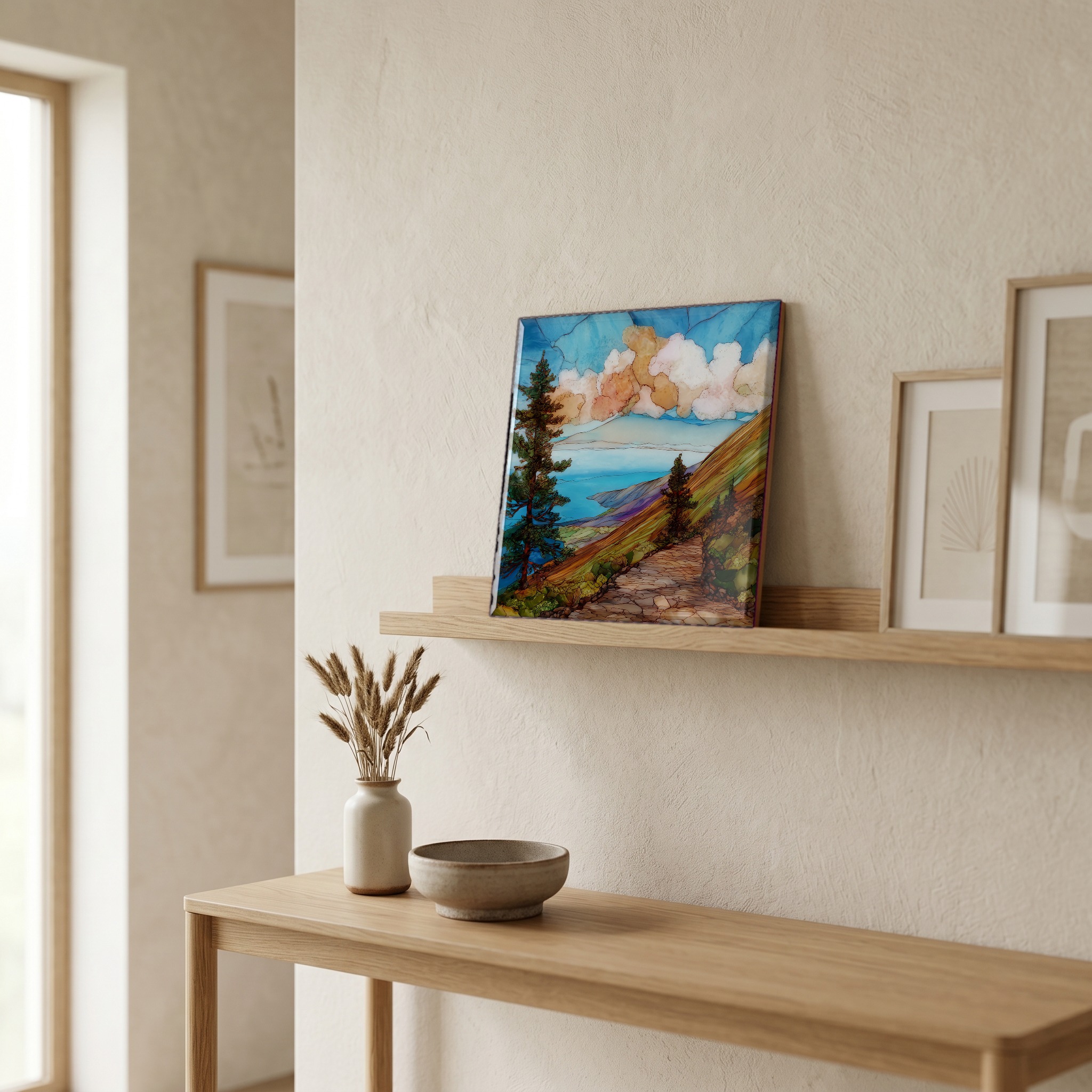
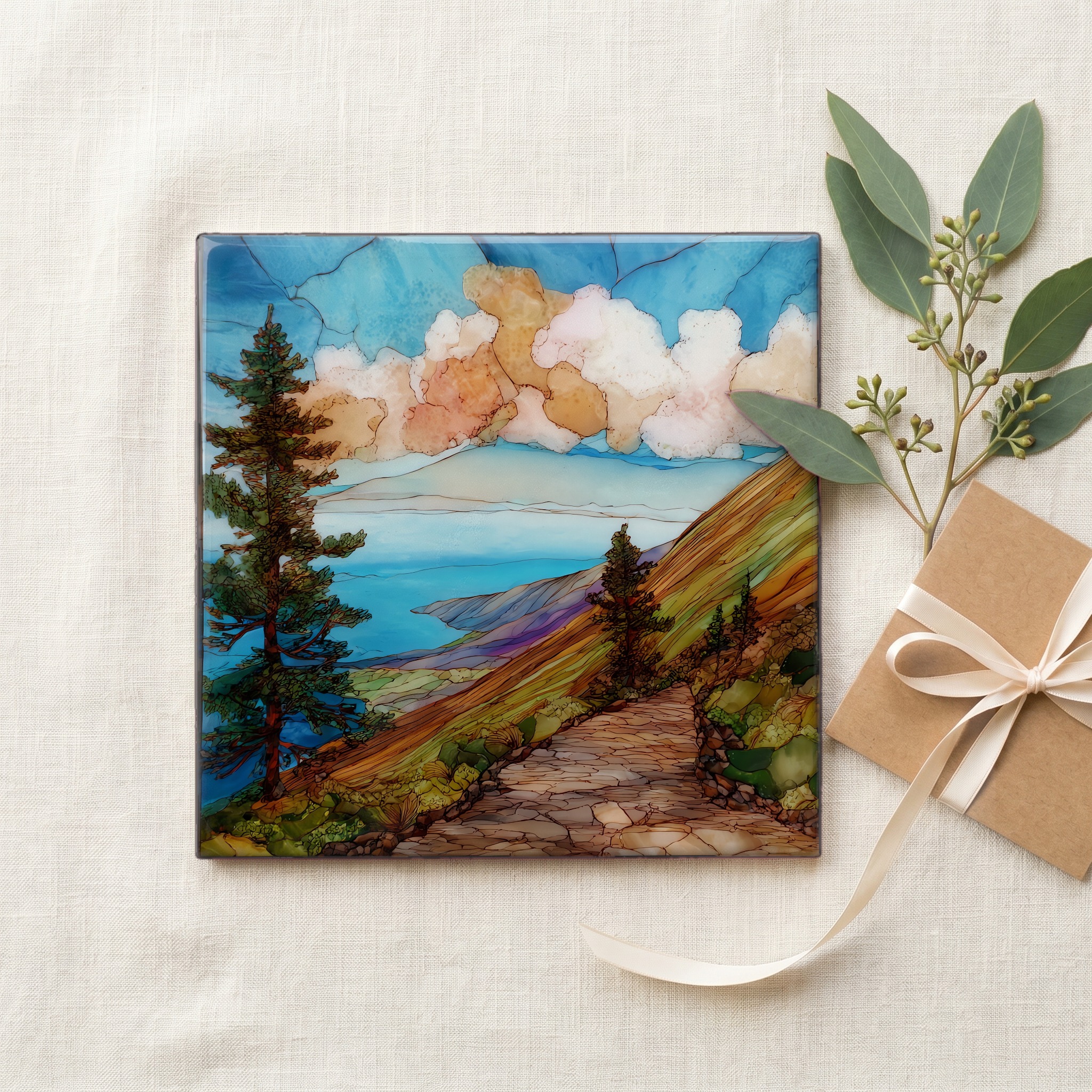
Munro Trail Lanaihale Ceramic Art Tile
— — where the pines turn cloud into water.
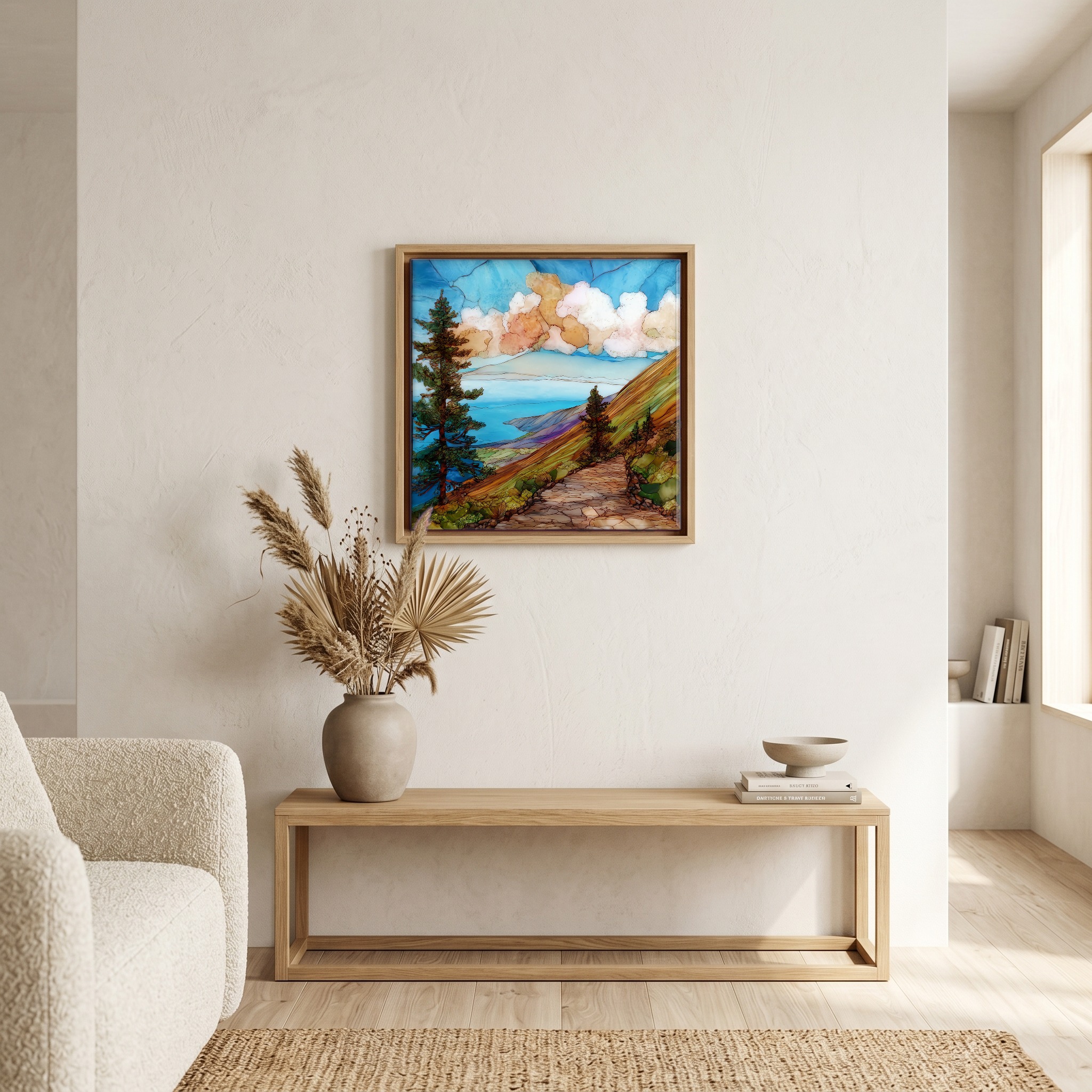
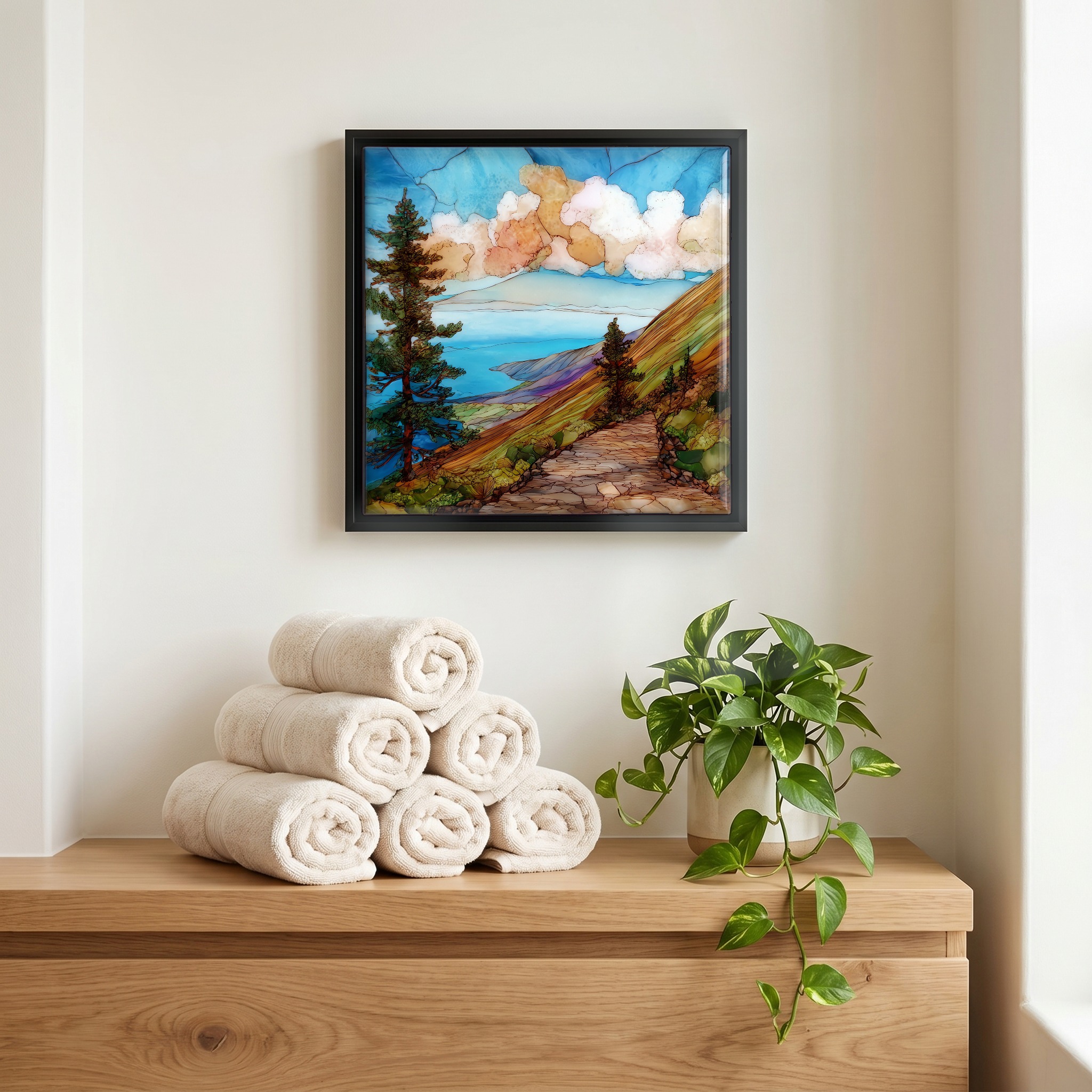
Not only on a wall.
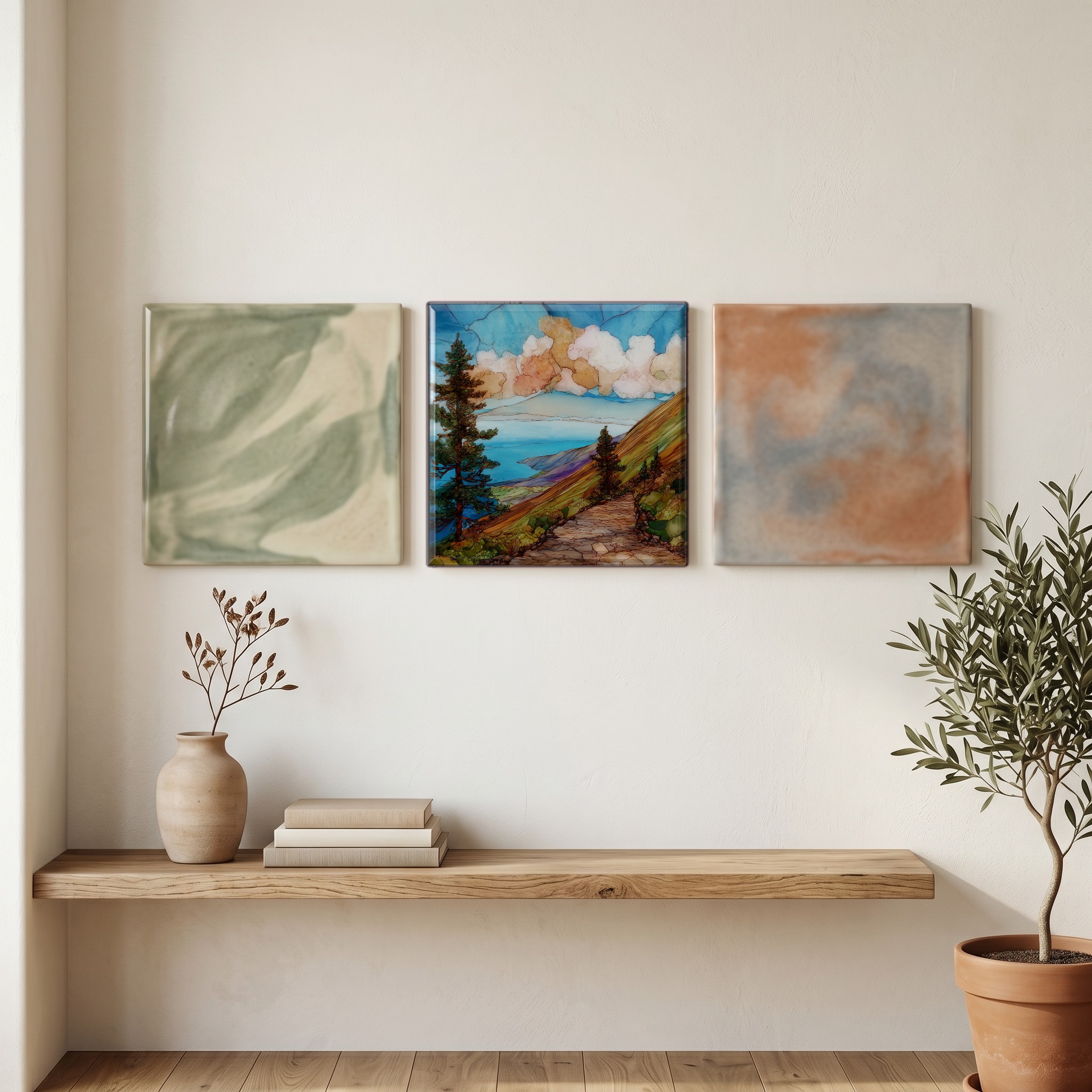
“The spine of Lanai, the long ridge that climbs to Lanaihale at the island's highest point. A century ago George Munro planted Cook pines along this ridge so they would comb water from the trade-wind cloud. The trees still do the work, slowly, every morning. The trail itself runs about twelve miles through fog and ohia and old red dirt. On the rare clear morning from the summit, five other Hawaiian islands rise out of the channel on every side. Most mornings the cloud closes in instead, and the pines stand black and dripping in it.
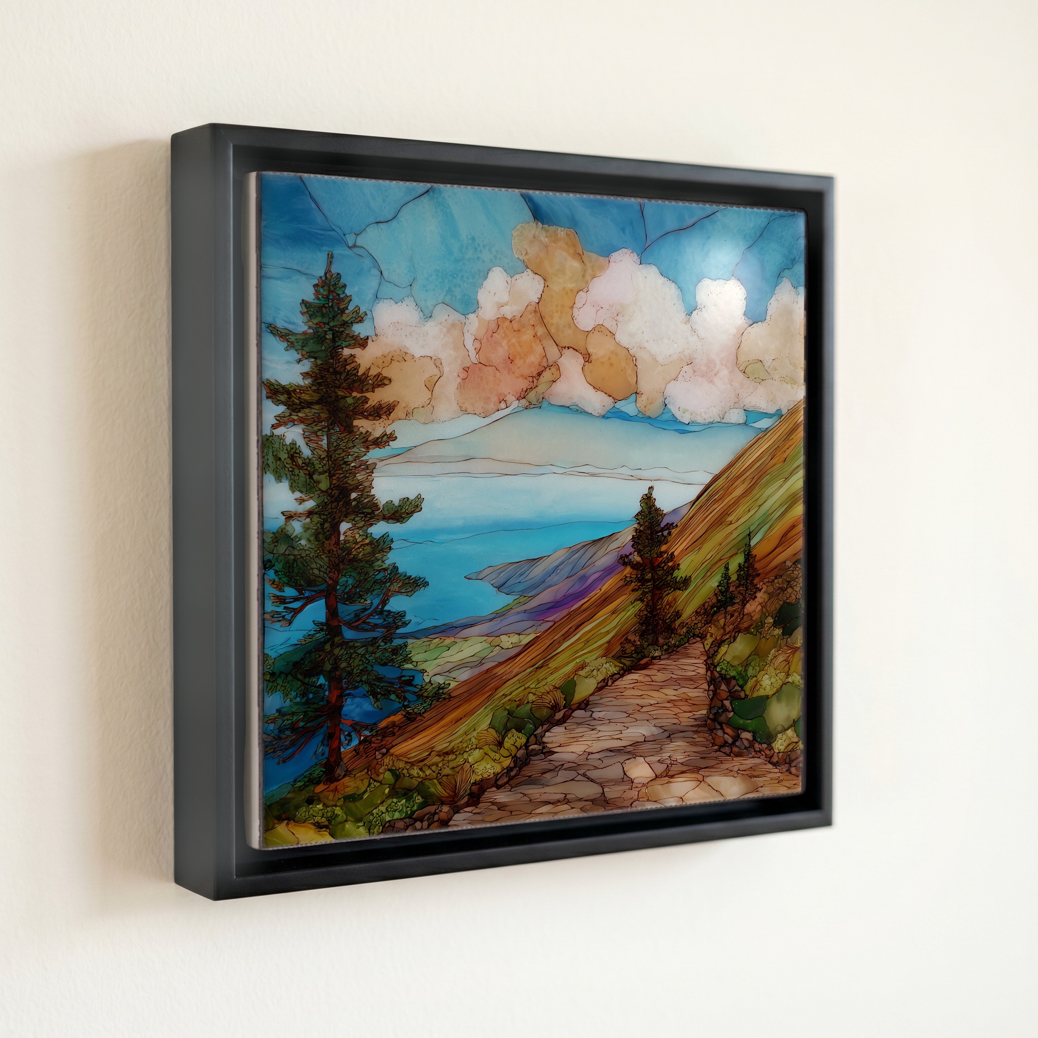
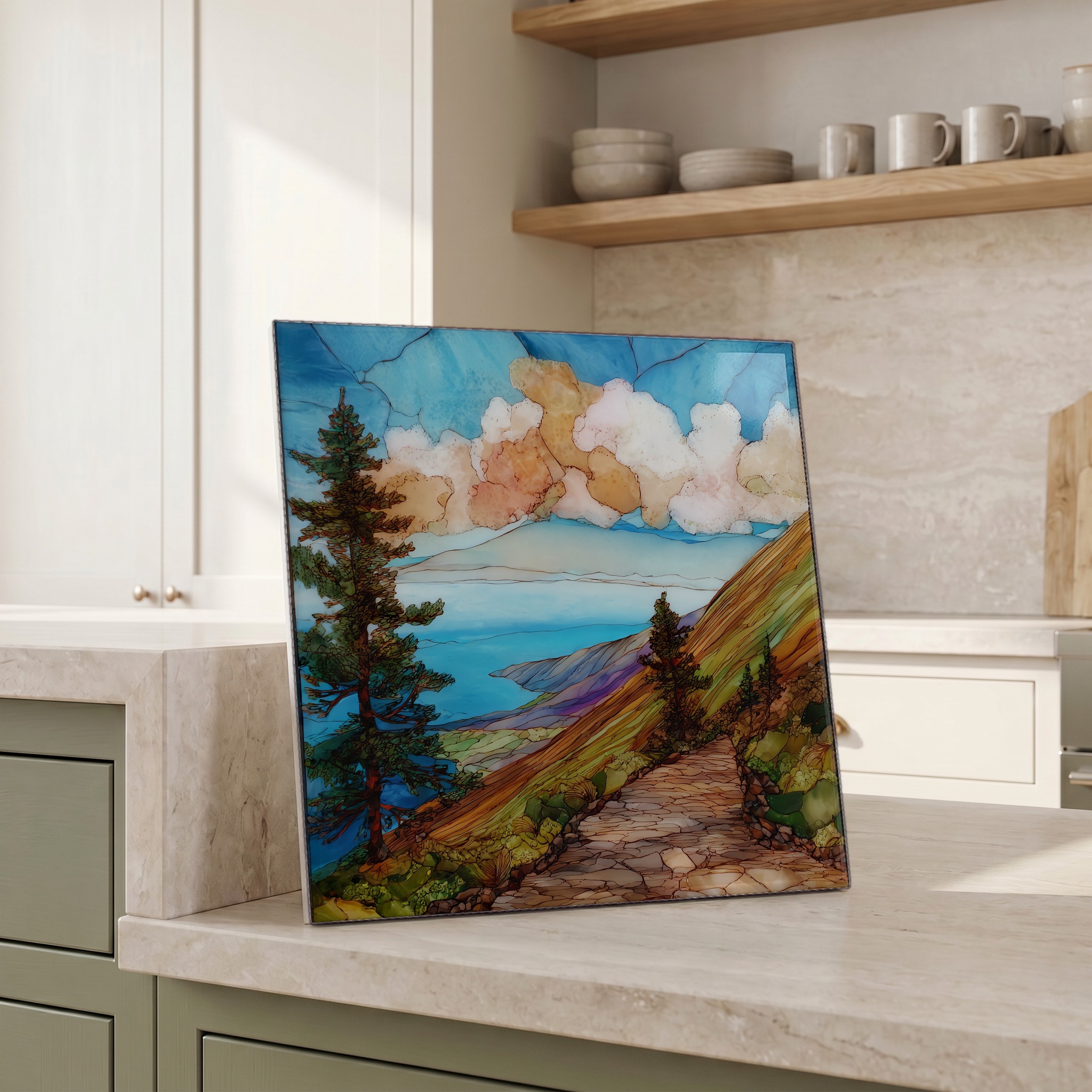
Munro Trail Lanaihale Ceramic Art Tile, on ceramic.
Each tile is finished by hand in our Knoxville studio. Artwork is slowly infused into the ceramic surface under high heat and pressure, and rests beneath a thin glossy finish. The colour lives in the surface, not on top of it.
Pick any four 4-inch tiles — National Parks you've been to, a Smokies set, the four seasons of one place. $ for a set of , cork-backed, ready to live on the table.
Each tile ships in a kraft box, tied with cream ribbon, with a handwritten note from the studio if you'd like to add one.
Three or five different vistas, hung together — a chapter of places you've been, or want to go.
The place, in three passes.
Lanaihale is the highest point on the island of Lanai, rising to 3,370 ft (1,027 m) at the head of a long volcanic ridge above Lanai City. The Munro Trail follows this ridge for approximately twelve miles, climbing from the dry leeward town through a band of red dirt and into a wet upper forest where fog stays caught in the trees most mornings. The ridge is the eroded rim of the shield volcano that built the island; on clear days the trail looks down into the U-shape that erosion has carved out toward the windward coast. Access is by four-wheel-drive from the south end, with the summit cairn at the top of the ridge.
The story of this ridge is the story of trees pulling water out of cloud. Beginning around 1911, George Campbell Munro, a New Zealand-born naturalist managing the Lanai Ranch, planted Cook pines (Araucaria columnaris) along the spine because their narrow upright form and dense needles catch trade-wind fog and condense it into drip. A century later that drip is still measurable: water that would otherwise pass over the island falls beneath the trees and into the soil. Lanai is one of the drier Hawaiian islands, and without Munro's pines the upper ridge would carry far less moisture. The slow work of those trees is what makes the upper trail a small, hanging cloud forest rather than a bare ridge.
The trail runs from a turn-off near Lanai City to the summit cairn at Lanaihale, a one-way distance of roughly twelve miles, more often driven than hiked end-to-end. A high-clearance four-wheel-drive is the standard vehicle; the upper grade turns to soft red mud after rain and is often closed for a day or two until it dries. The two scenic high points are Lanaihale itself and the second viewpoint just south, where the channel opens north toward Molokai. From the summit on a clear morning five of the other six main Hawaiian islands are visible: Maui, Molokai, Kahoolawe, Oahu, and the Big Island in the far distance. The window for that view is usually before mid-morning.