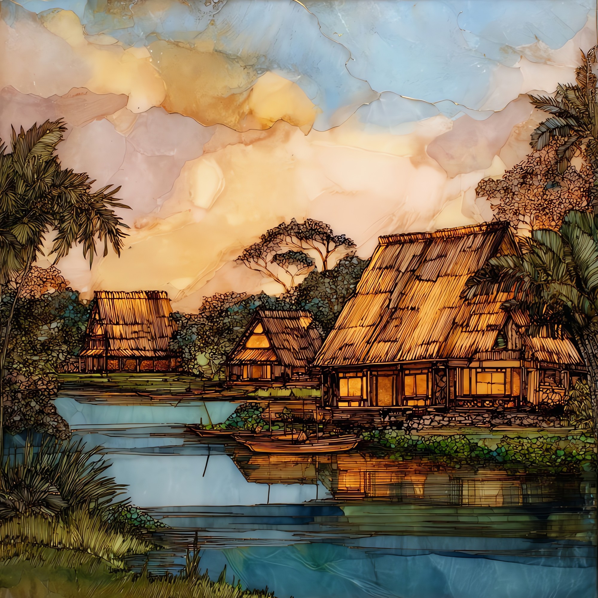
Kamokila Village Kauai Ceramic Art Tile
— — the village the river kept.
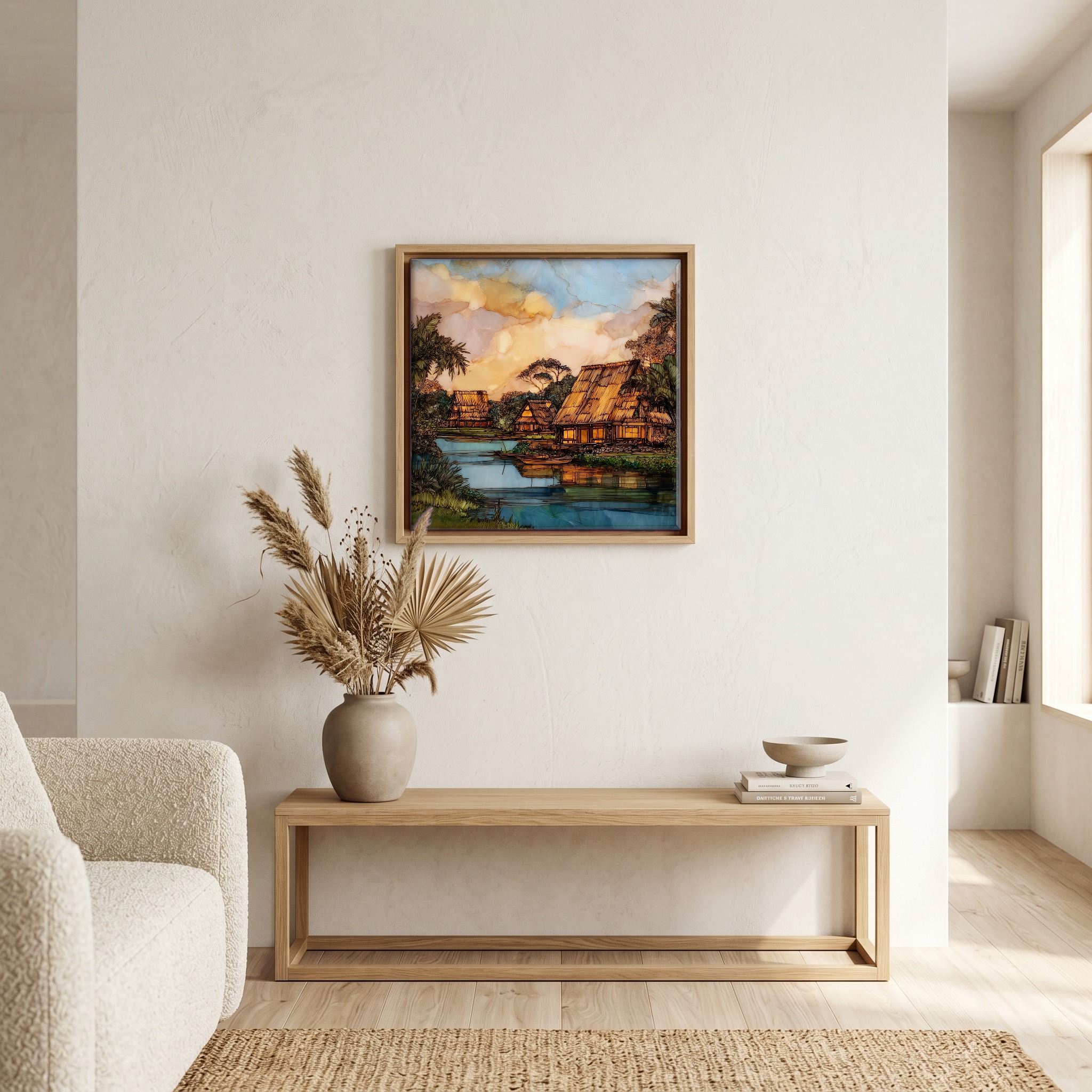
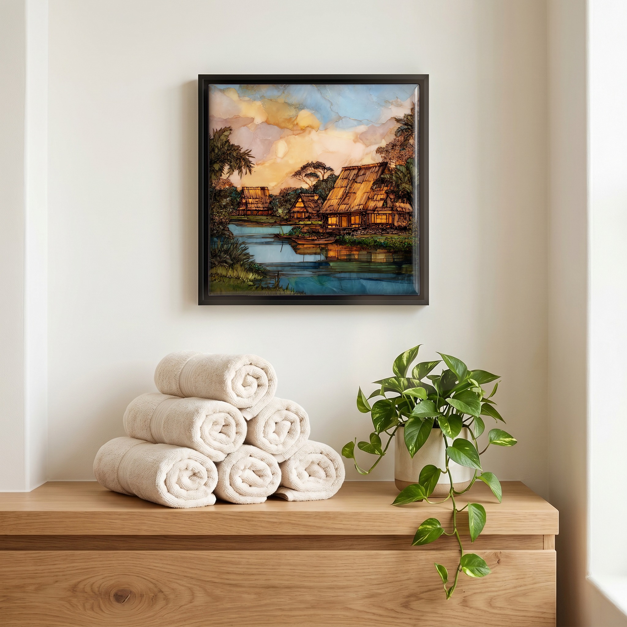
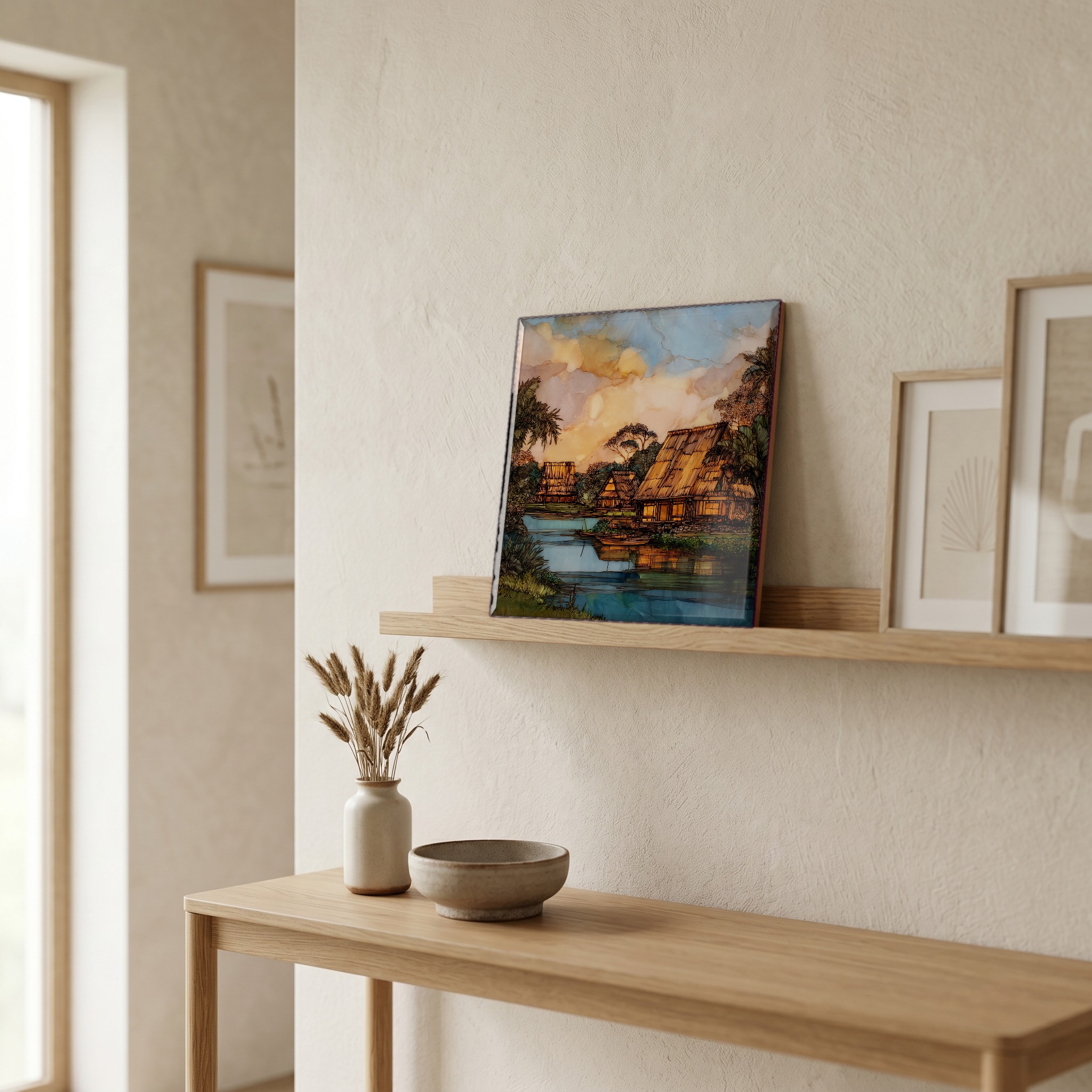
Not only on a wall.
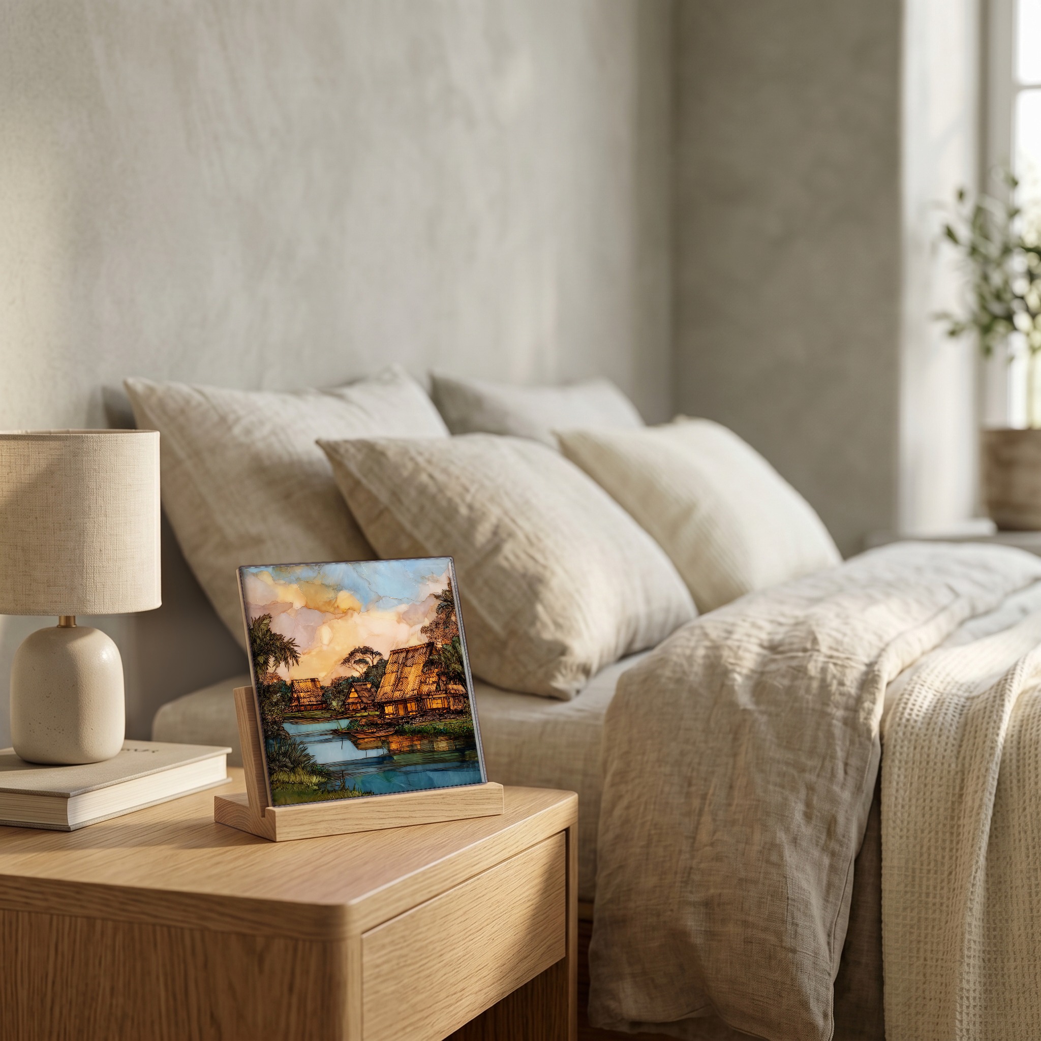
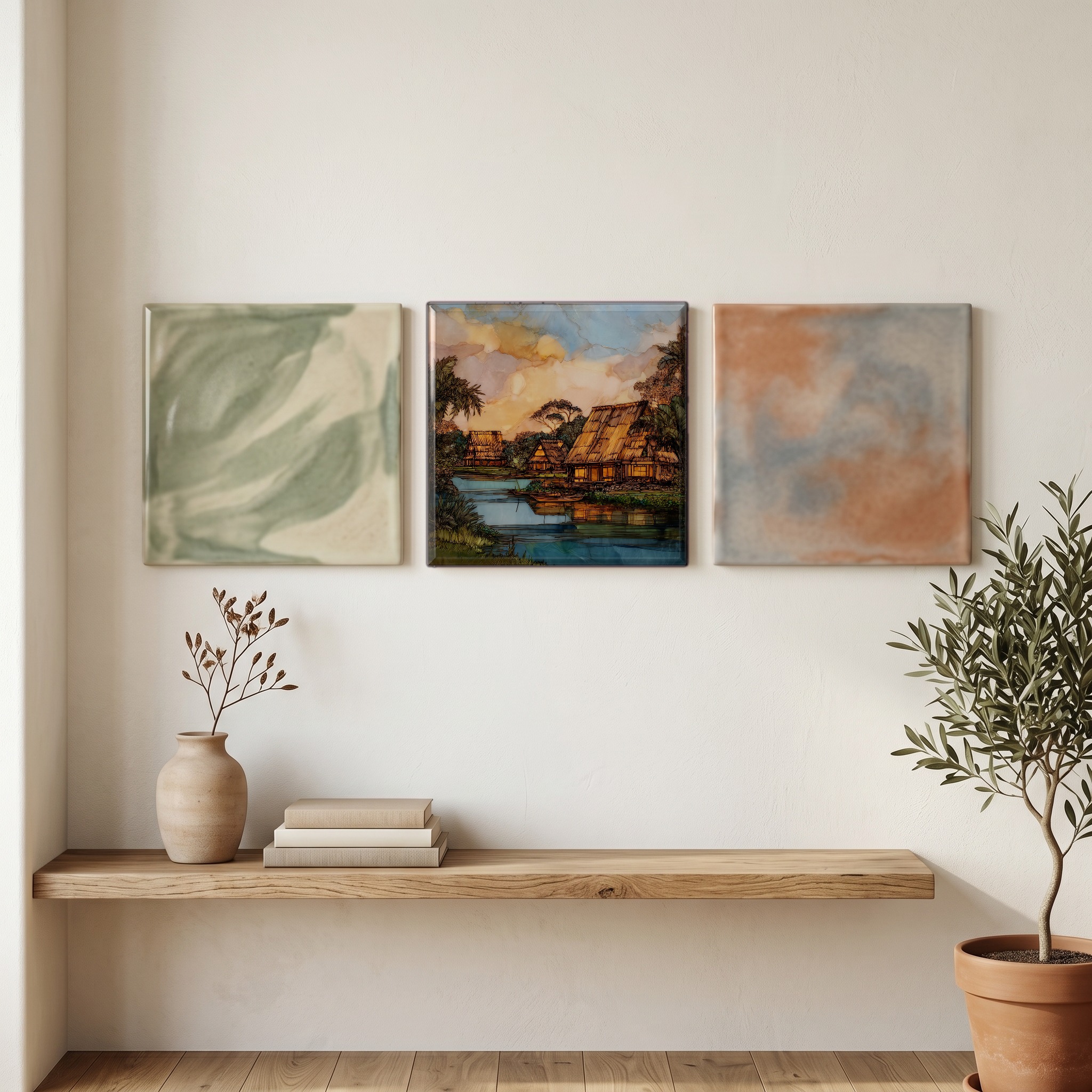
“On the south bank of the only navigable river in Hawaiʻi, a recreated village of pili-thatched hales and loʻi kalo terraces holds the shape of how Kauaʻi used to live. The Wailua Valley was the seat of Kauaʻi's chiefs for centuries before Kamehameha unified the islands. The site is family-held, kept by descendants of those who lived on this stretch of the river. Outrigger canoes rest at the bank. The walk between the houses is quiet, a working ahupuaʻa slowed almost to stillness.
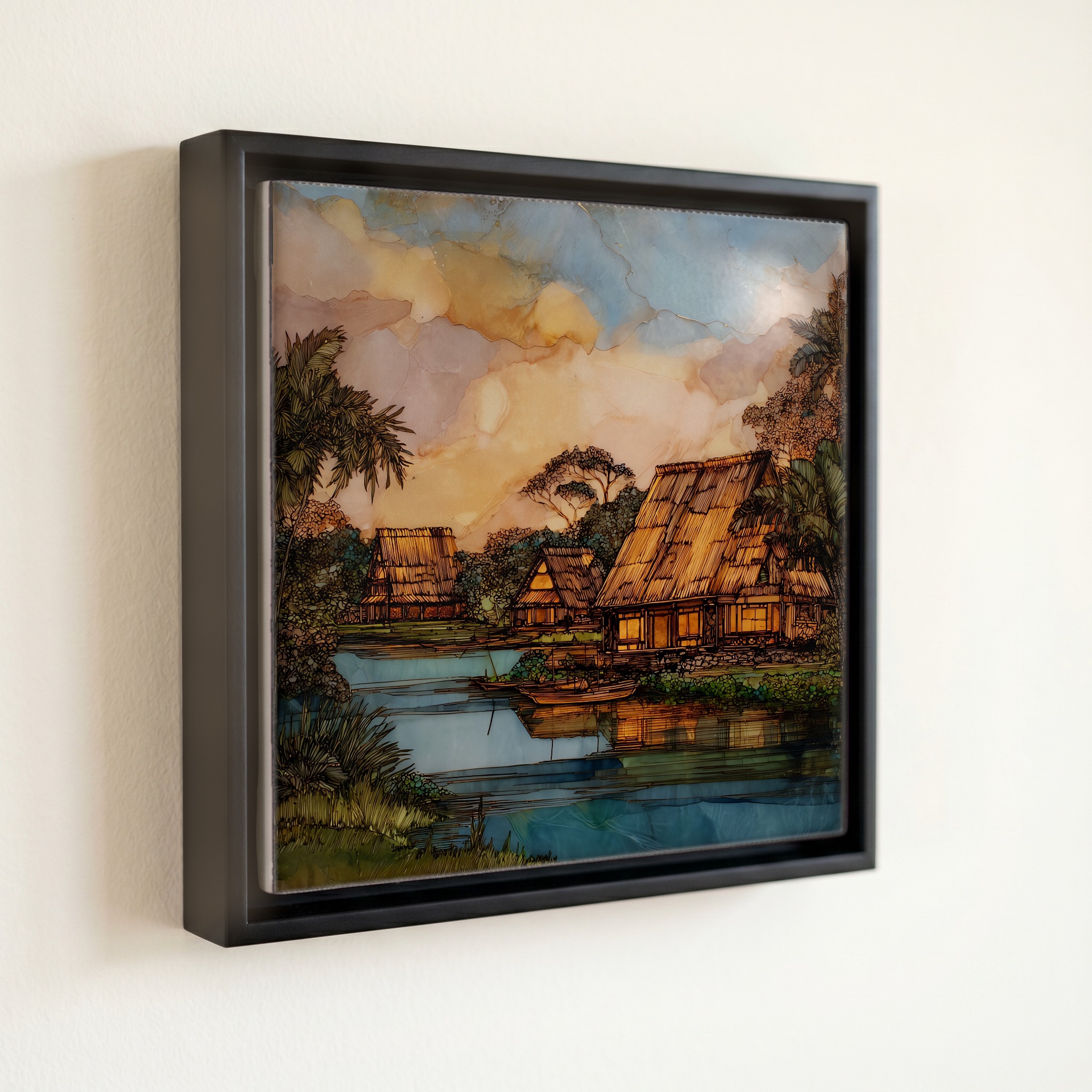
Kamokila Village Kauai Ceramic Art Tile, on ceramic.
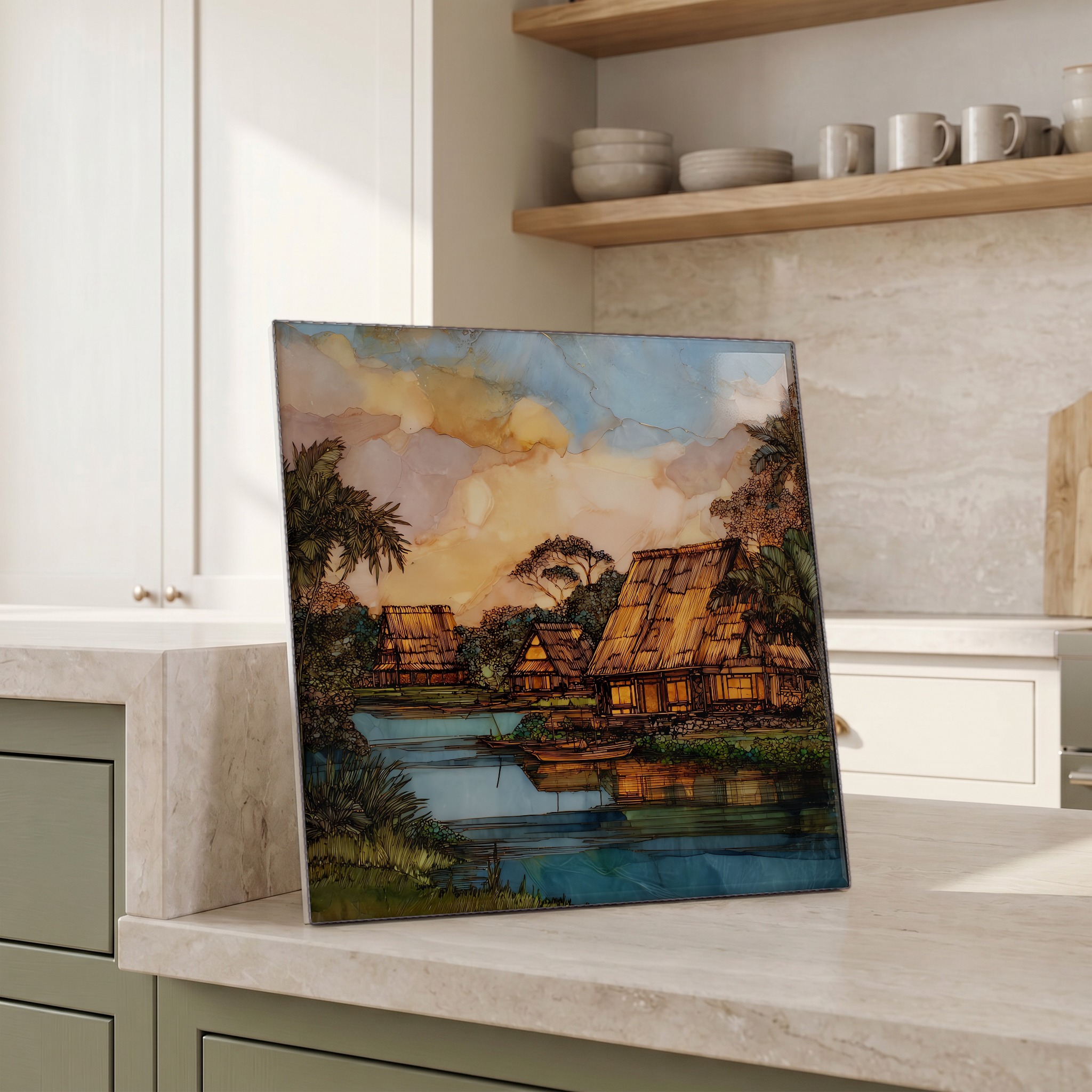
Each tile is finished by hand in our Knoxville studio. Artwork is slowly infused into the ceramic surface under high heat and pressure, and rests beneath a thin glossy finish. The colour lives in the surface, not on top of it.
Pick any four 4-inch tiles — National Parks you've been to, a Smokies set, the four seasons of one place. $ for a set of , cork-backed, ready to live on the table.
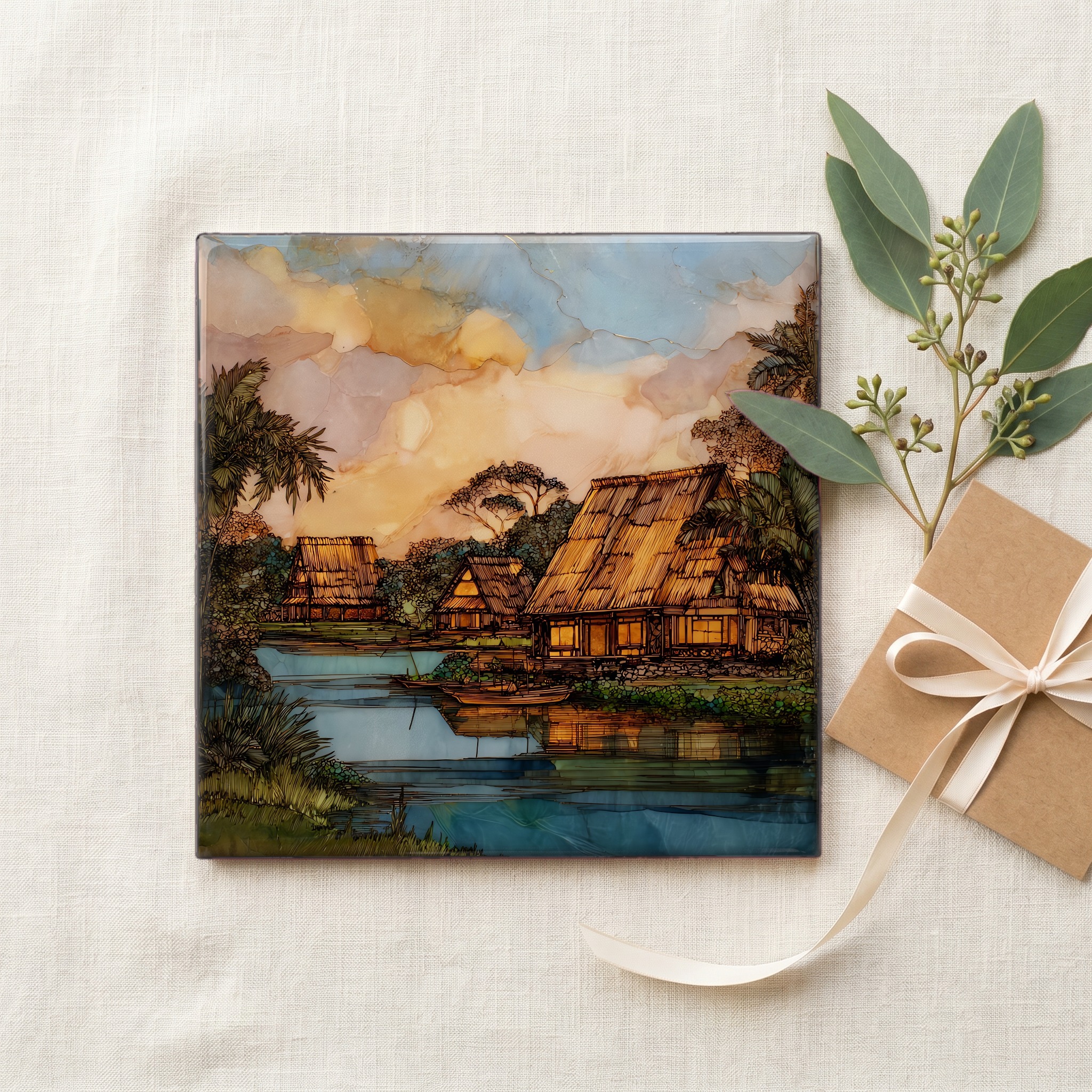
Each tile ships in a kraft box, tied with cream ribbon, with a handwritten note from the studio if you'd like to add one.
Three or five different vistas, hung together — a chapter of places you've been, or want to go.
The place, in three passes.
Kamokila Hawaiian Village sits on the south bank of the Wailua River on the east shore of Kauaʻi, the oldest of the main Hawaiian islands. The site lies within the protected corridor of Wailua River State Park, on a bench of land below Kuamoʻo Road (Highway 580). Access is by car down a short steep drive, or by canoe from the river. The Wailua Valley is the historical core of pre-contact Kauaʻi, holding several major heiau of the island's aliʻi, several of them on the National Register of Historic Places as part of the Wailua Complex of Heiau. The grounds themselves stand on land long held by a single ʻohana, who recreated the ancestral arrangement of hales, loʻi kalo, fishpond, and canoe landing along this stretch of the river.
The Wailua River is the only navigable river in the Hawaiian Islands, fed by the slopes of Mount Waiʻaleʻale to the west and meeting the Pacific at Wailua Bay. Mount Waiʻaleʻale, the high point of central Kauaʻi at 5,148 feet, is among the wettest places on Earth, with mean annual rainfall over 400 inches near the summit. That rainfall is the reason the Wailua Valley could feed a chiefly population. The river served as the highway of Kauaʻi's aliʻi, who travelled by canoe between the heiau strung along its banks. The village's canoe landing sits on the same stretch of water they used.
The village is open for self-guided walks and small guided tours, run by the family who hold the land. Visitors enter from Kuamoʻo Road, a short drive past the Opaekaʻa Falls overlook, and follow a narrow road that drops down to the river bench. The grounds hold reconstructed hales for the chief, the canoe builder, the healer, and the family, alongside working loʻi kalo (taro patches), a small freshwater pond, and outrigger canoes at the river landing. Guided outrigger trips push upstream toward the Fern Grotto from the village's own slip. The site receives a small fraction of the visitors who stop at the nearby state-park overlooks, and is best walked slowly. Figure ninety minutes.