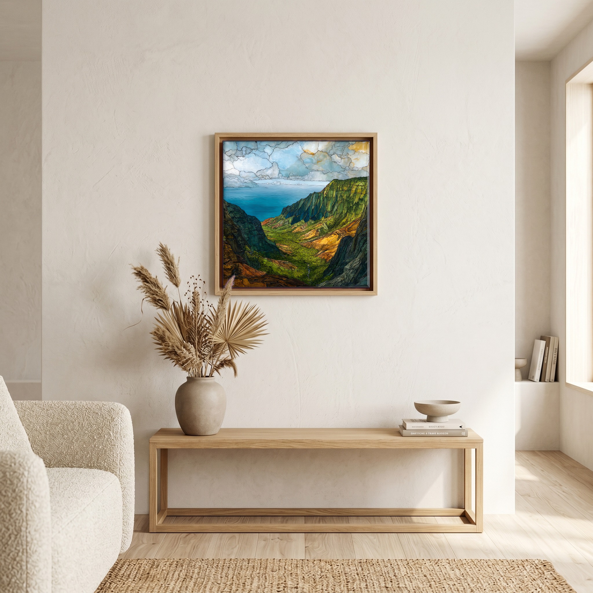
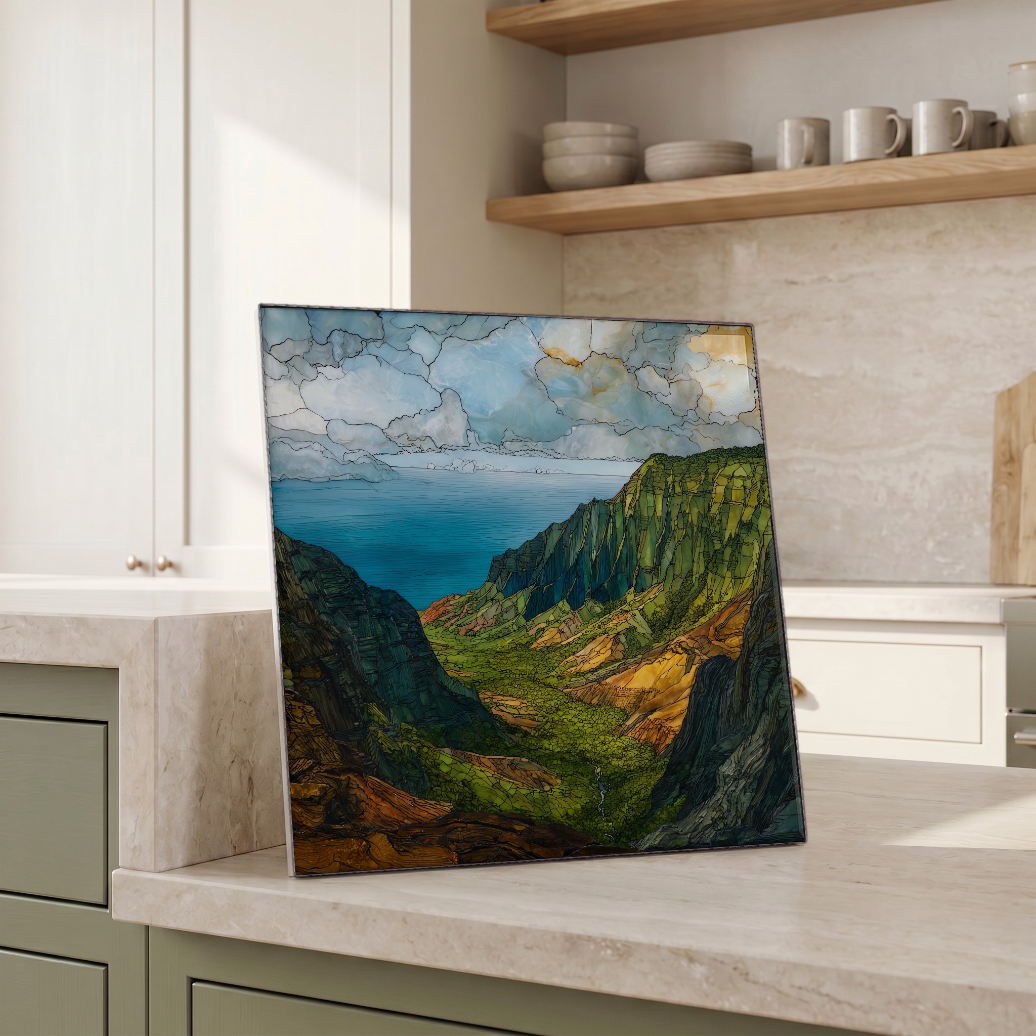
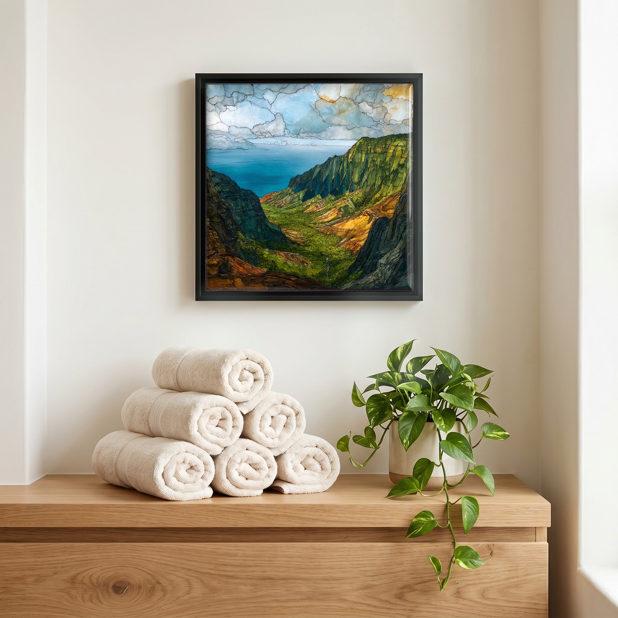
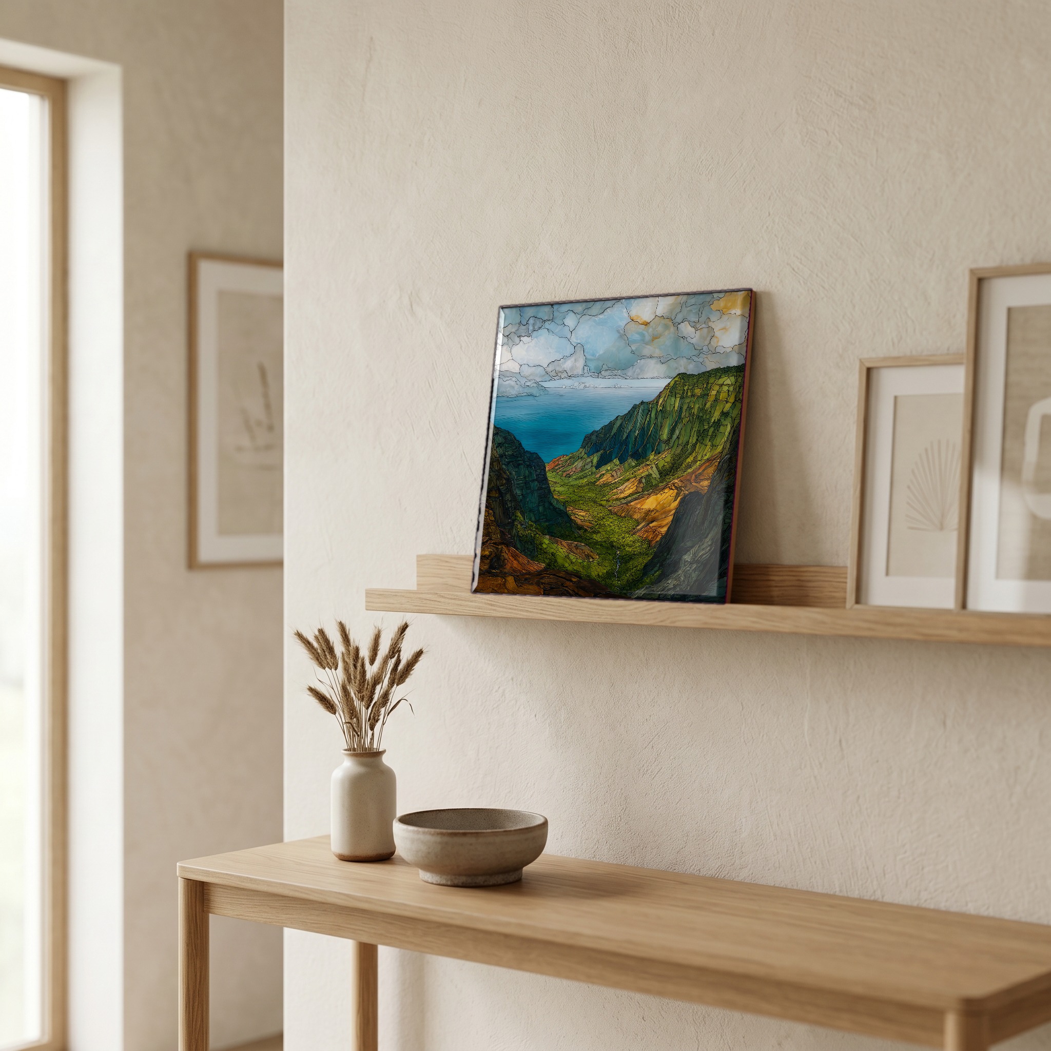
Kalalau Lookout Kauai Ceramic Art Tile
— — the morning before the clouds come up the cliffs.
Not only on a wall.

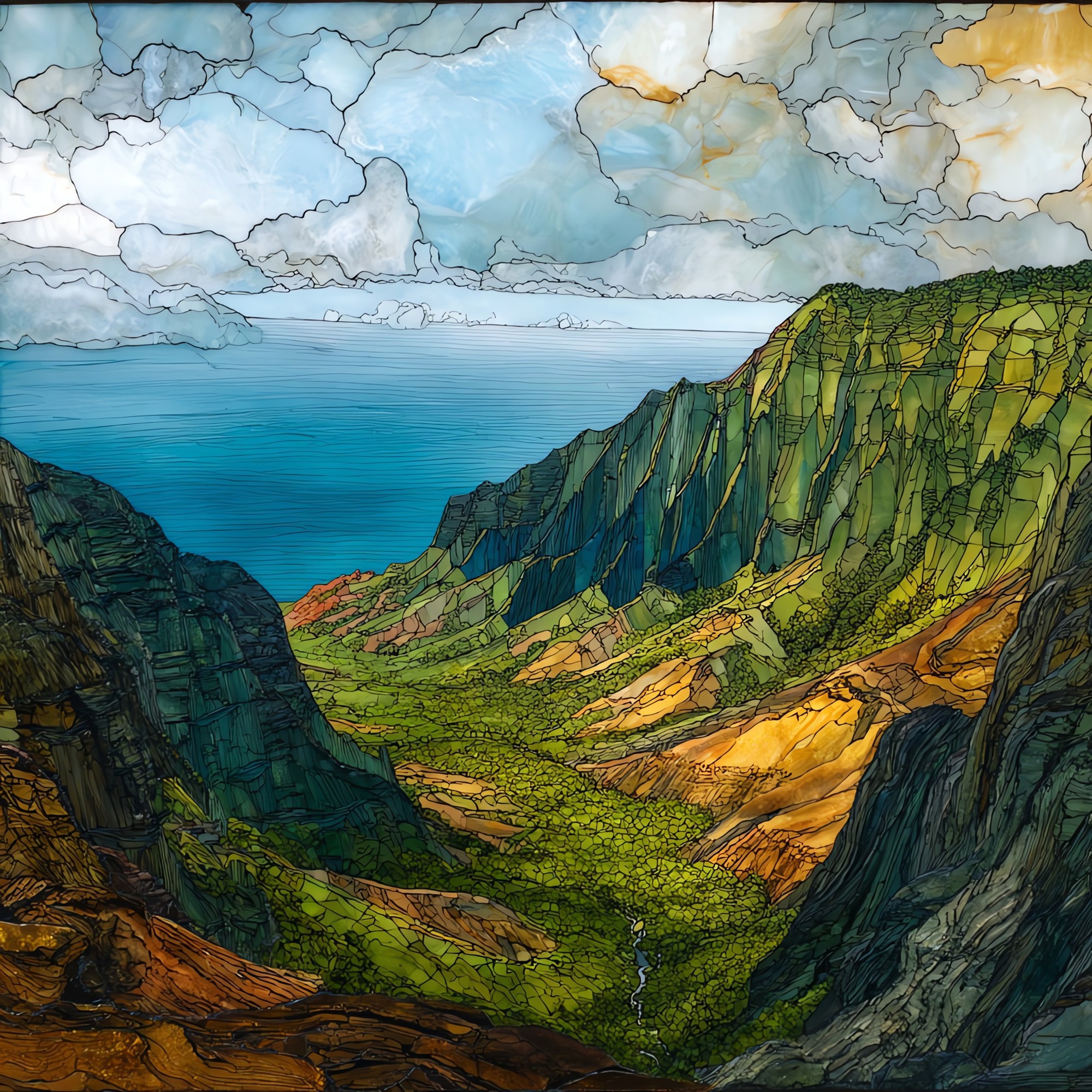
“The view from the rim of Kōkeʻe, looking down into the valley they call Kalalau. Sheer green walls drop all the way to the Pacific — a green that only happens where the trade winds drag rain across volcanic rock for five million years. The cloud bank rolls in most mornings by ten, so the local advice is to be on the rim early. People drive up from Waimea, pull off at the lookout, and stand quietly at the railing. The valley floor was farmed by Native Hawaiian families until 1919. Nobody lives there now.
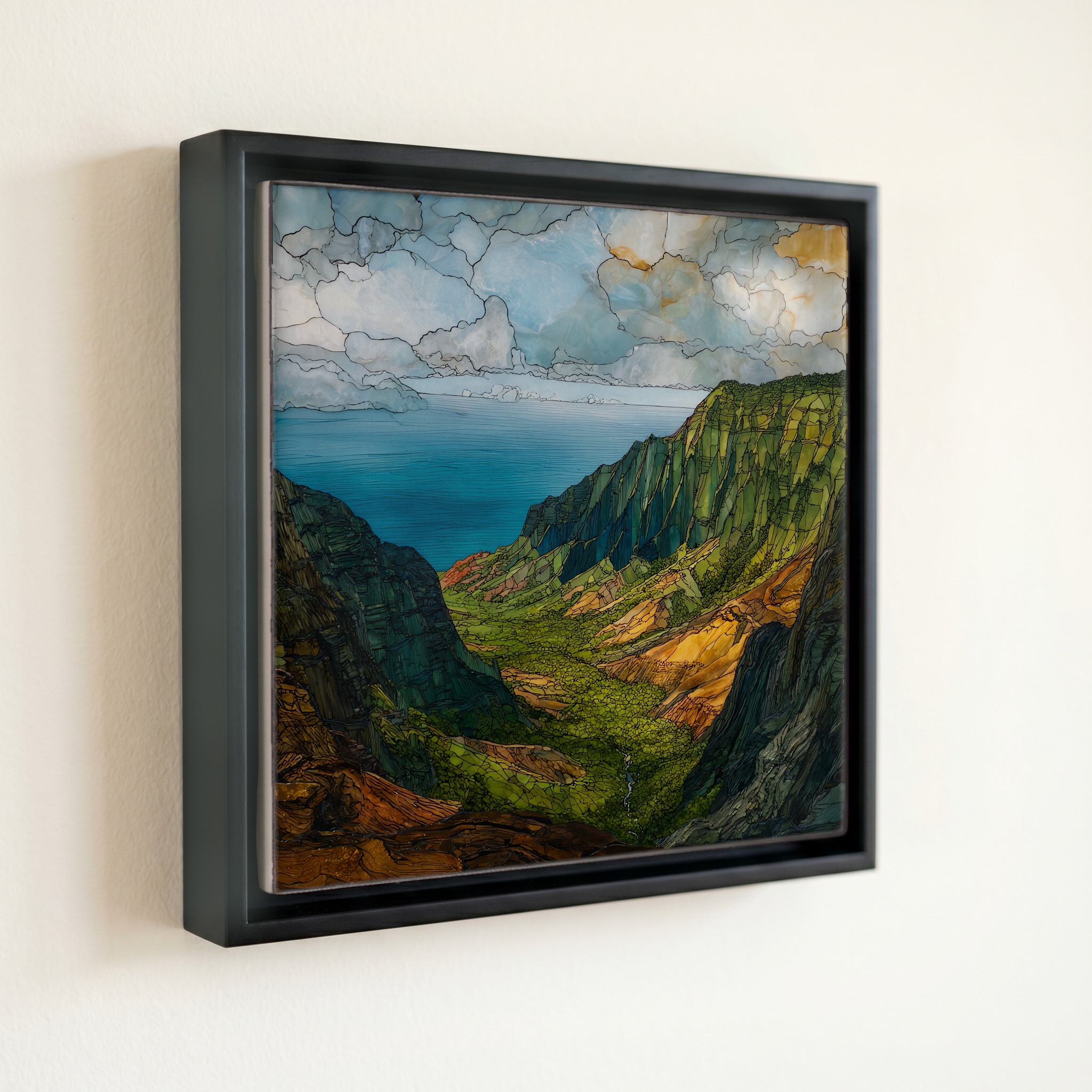
Kalalau Lookout Kauai Ceramic Art Tile, on ceramic.
Each tile is finished by hand in our Knoxville studio. Artwork is slowly infused into the ceramic surface under high heat and pressure, and rests beneath a thin glossy finish. The colour lives in the surface, not on top of it.
Pick any four 4-inch tiles — National Parks you've been to, a Smokies set, the four seasons of one place. $ for a set of , cork-backed, ready to live on the table.
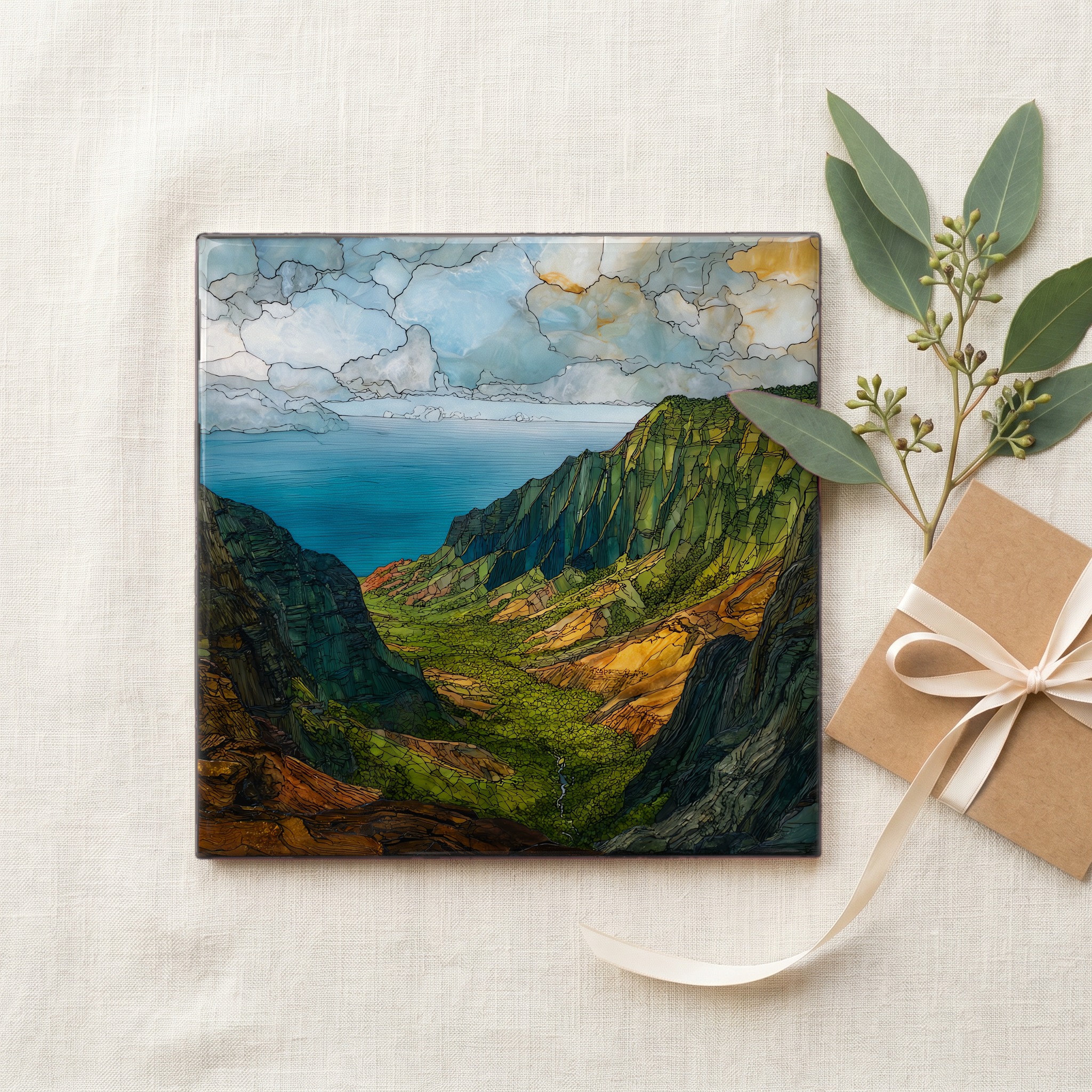
Each tile ships in a kraft box, tied with cream ribbon, with a handwritten note from the studio if you'd like to add one.

Three or five different vistas, hung together — a chapter of places you've been, or want to go.
The place, in three passes.
Kalalau Lookout sits at the end of Kōkeʻe Road (Highway 550) inside Kōkeʻe State Park, on the high western interior of Kauaʻi — the oldest of the main Hawaiian Islands. The rim stands roughly 4,000 feet above the Pacific and gives the only road-accessible view down into Kalalau Valley, the largest valley on the Nā Pali Coast. The valley itself is a unit of Nā Pali Coast State Wilderness Park, managed by the Hawaiʻi Division of State Parks; reaching its floor on foot requires the 11-mile Kalalau Trail from Kēʻē Beach. The drive up from Waimea climbs through Waimea Canyon — often called the Grand Canyon of the Pacific.
The view at Kalalau Lookout is famously contingent on the weather. Pacific trade winds drive moist air up the pali of the Nā Pali Coast, where it condenses into the cloud bank that often fills the valley by mid-morning. Park staff at the Kōkeʻe Natural History Museum consistently advise visitors to be at the rim before 10 a.m., when the cliffs are still clear and the green of the valley walls is at its most saturated. Kauaʻi's interior is among the wettest places on Earth — Mount Waiʻaleʻale, about 15 miles east-southeast, averages roughly 450 inches of rain a year, and that rainfall is what sustains the valley's vegetation.
The lookout is reached by driving north from Waimea on State Route 550 through Waimea Canyon and Kōkeʻe State Park, roughly 40 miles from Lihue Airport. There is no separate lookout fee, but Hawaiʻi non-residents pay a per-person entry fee and a per-vehicle parking fee at the Waimea Canyon entrance station on the way up; Hawaiʻi residents enter free. A short paved viewing area sits at the rim, with a railing and an interpretive marker. The road continues another mile to Puʻu O Kila Lookout, where the Pihea Trail begins and a second view of the valley opens up. The state park closes at sunset and the road has no lighting.