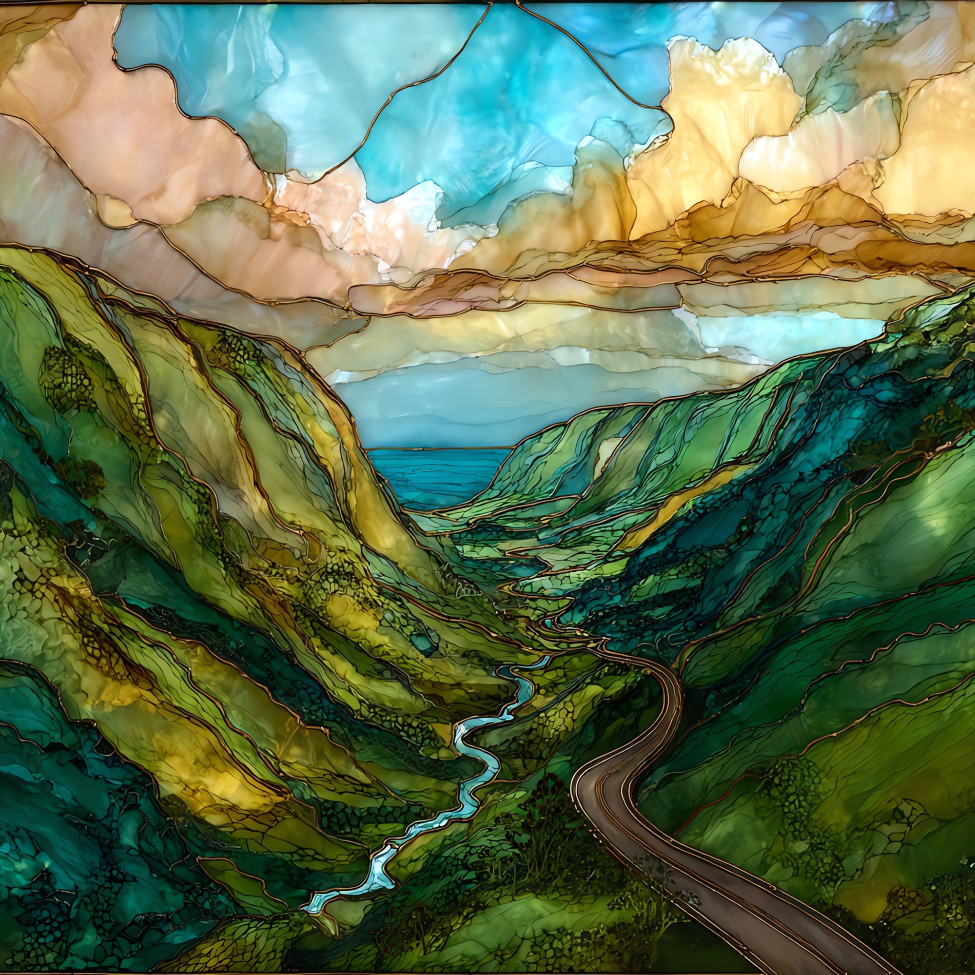
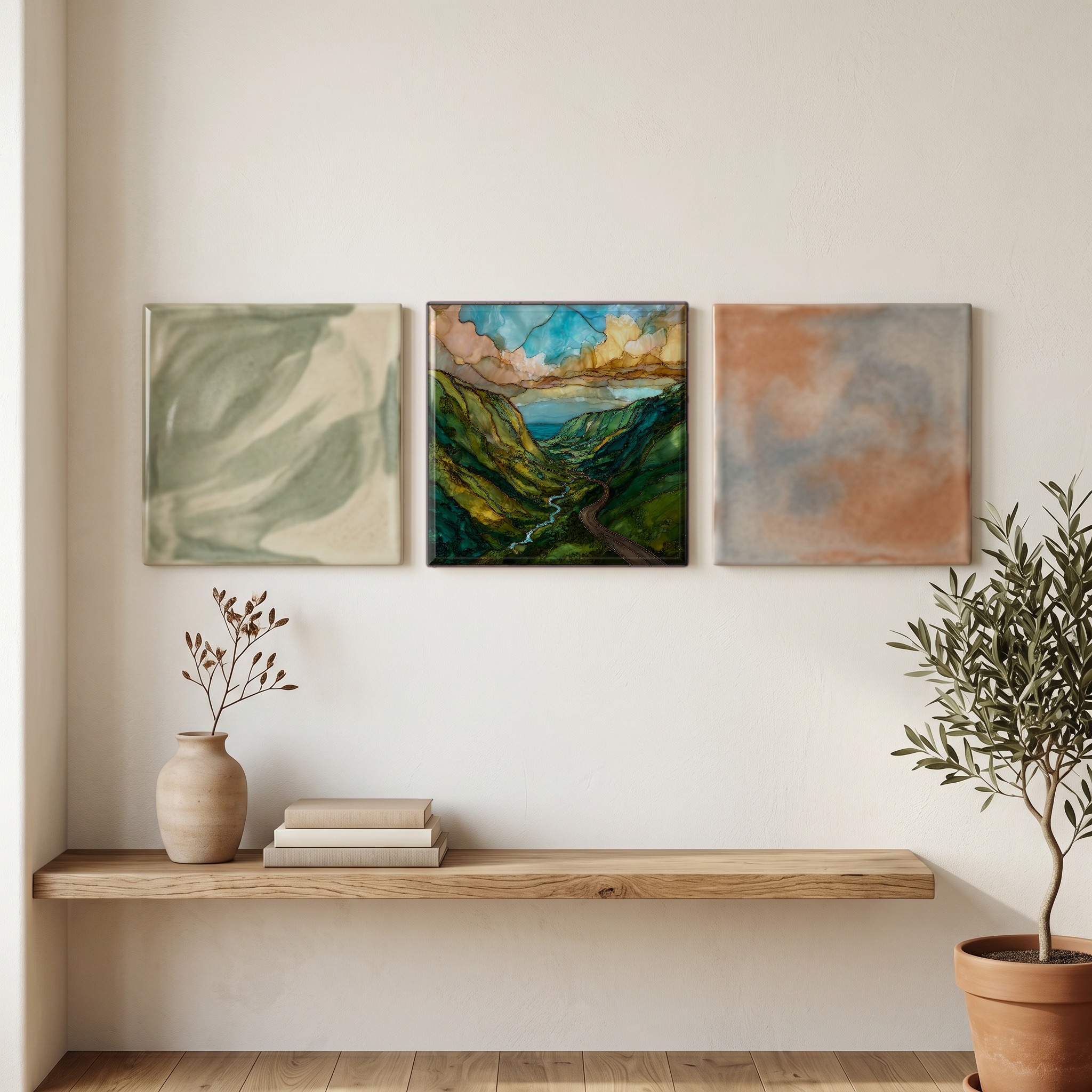
Hamakua Cane Road Big Island Ceramic Art Tile
— — the road the cane left behind.
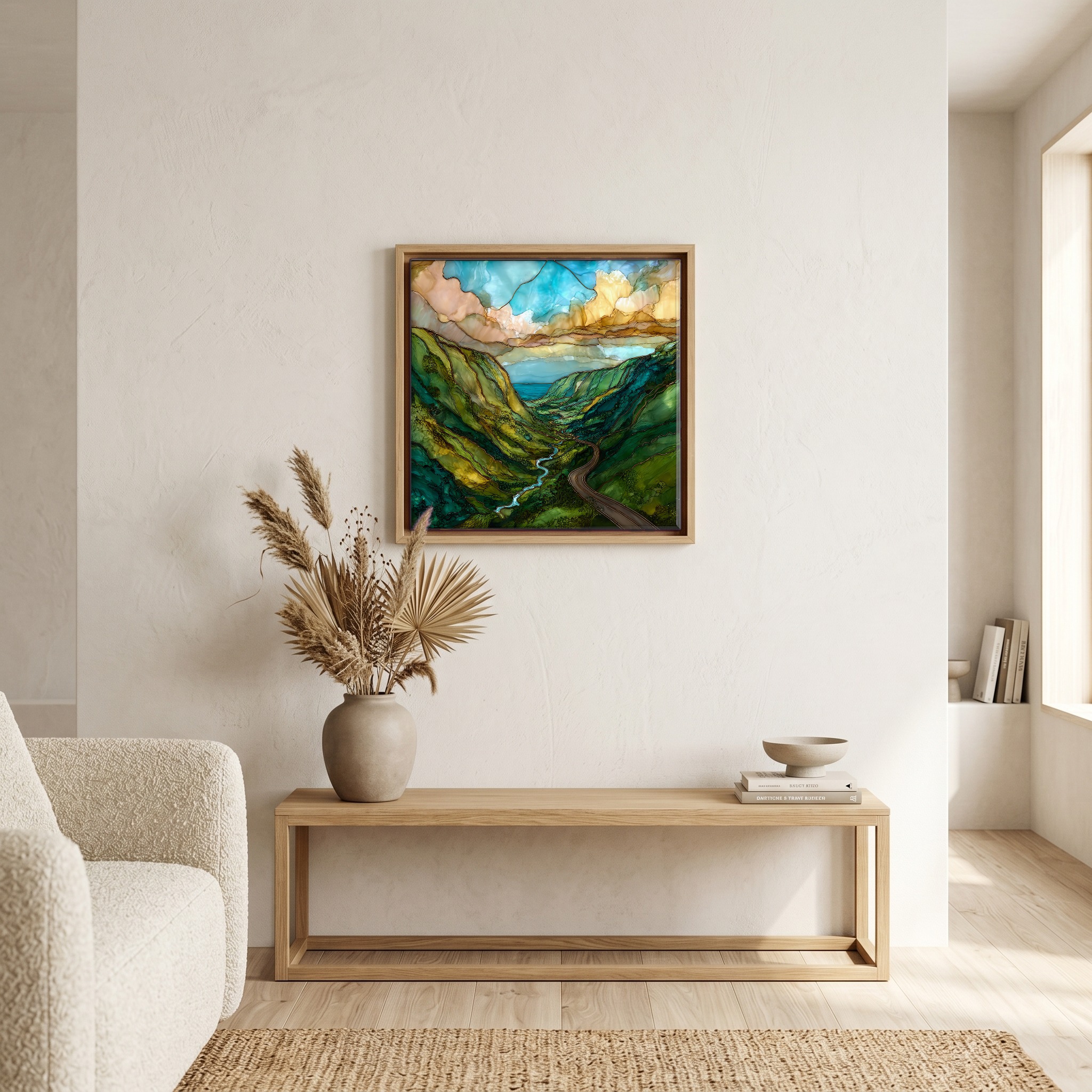
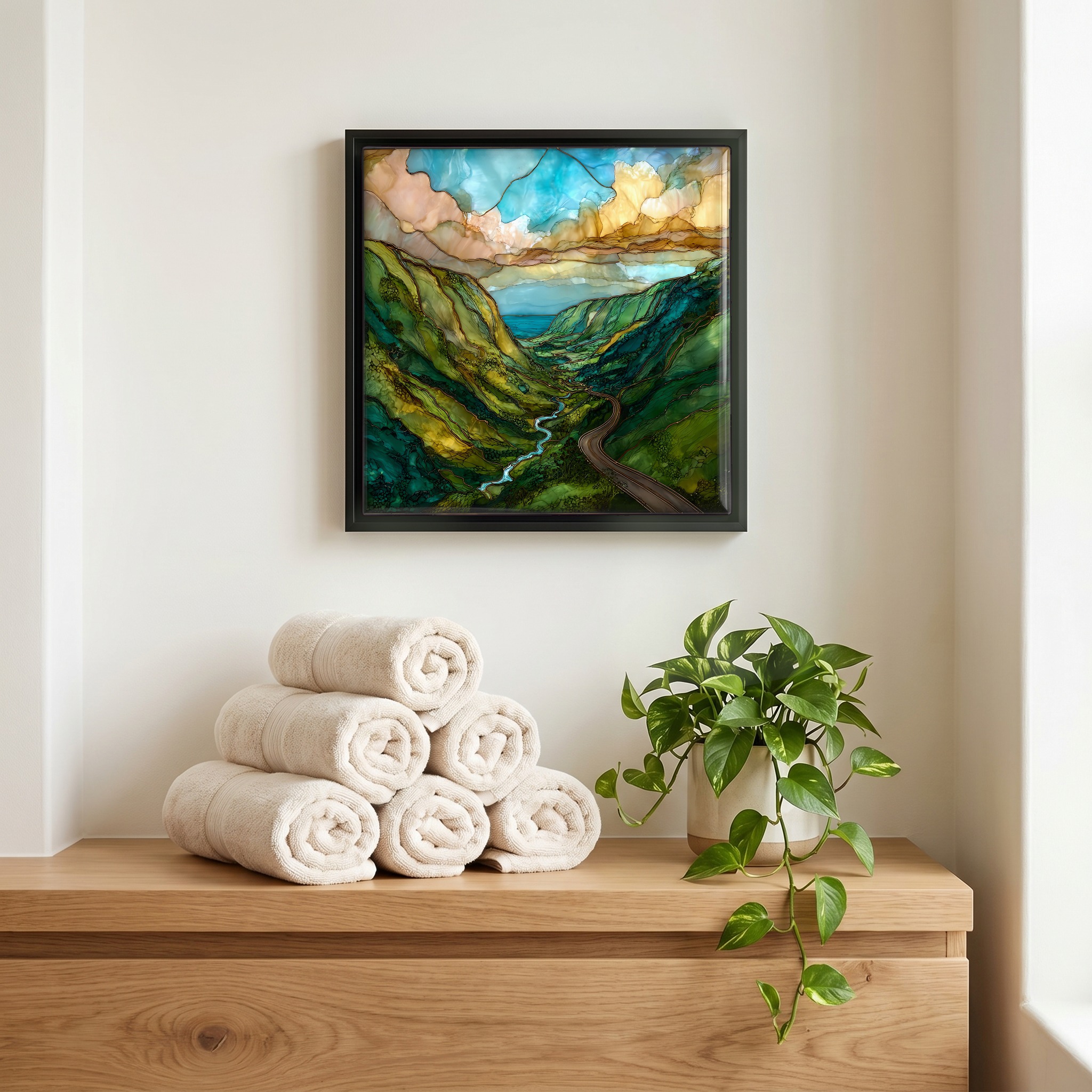
Not only on a wall.
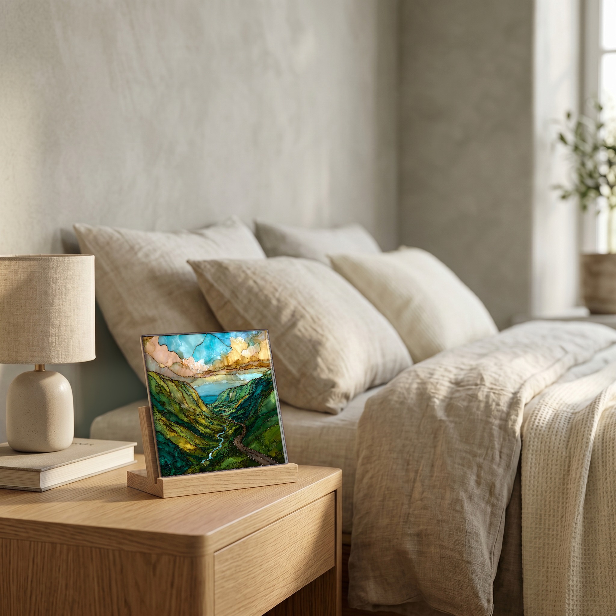
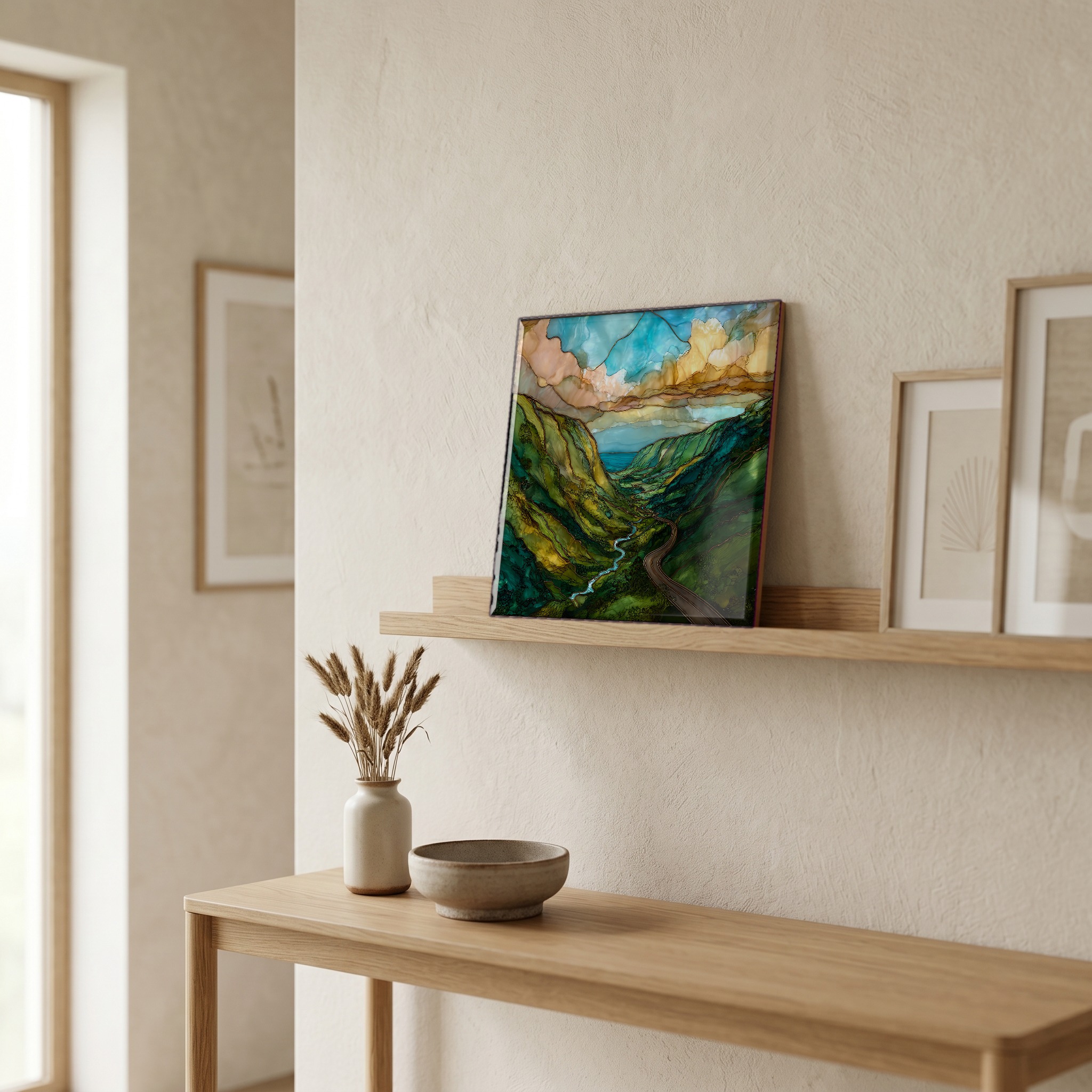
“The windward coast of the Big Island, north of Hilo. The road winds in and out of fern-walled gulches over one-lane bridges, the sea always somewhere below. The sugar mills closed in 1994. The cane is gone but the road remembers, in the plantation towns still arranged around where the mills stood, in the eucalyptus and African tulip that grew up in the old fields. The rain falls almost every day. Honoka'a, Laupāhoehoe, Pepe'ekeo — the towns hold the names. The road keeps going.
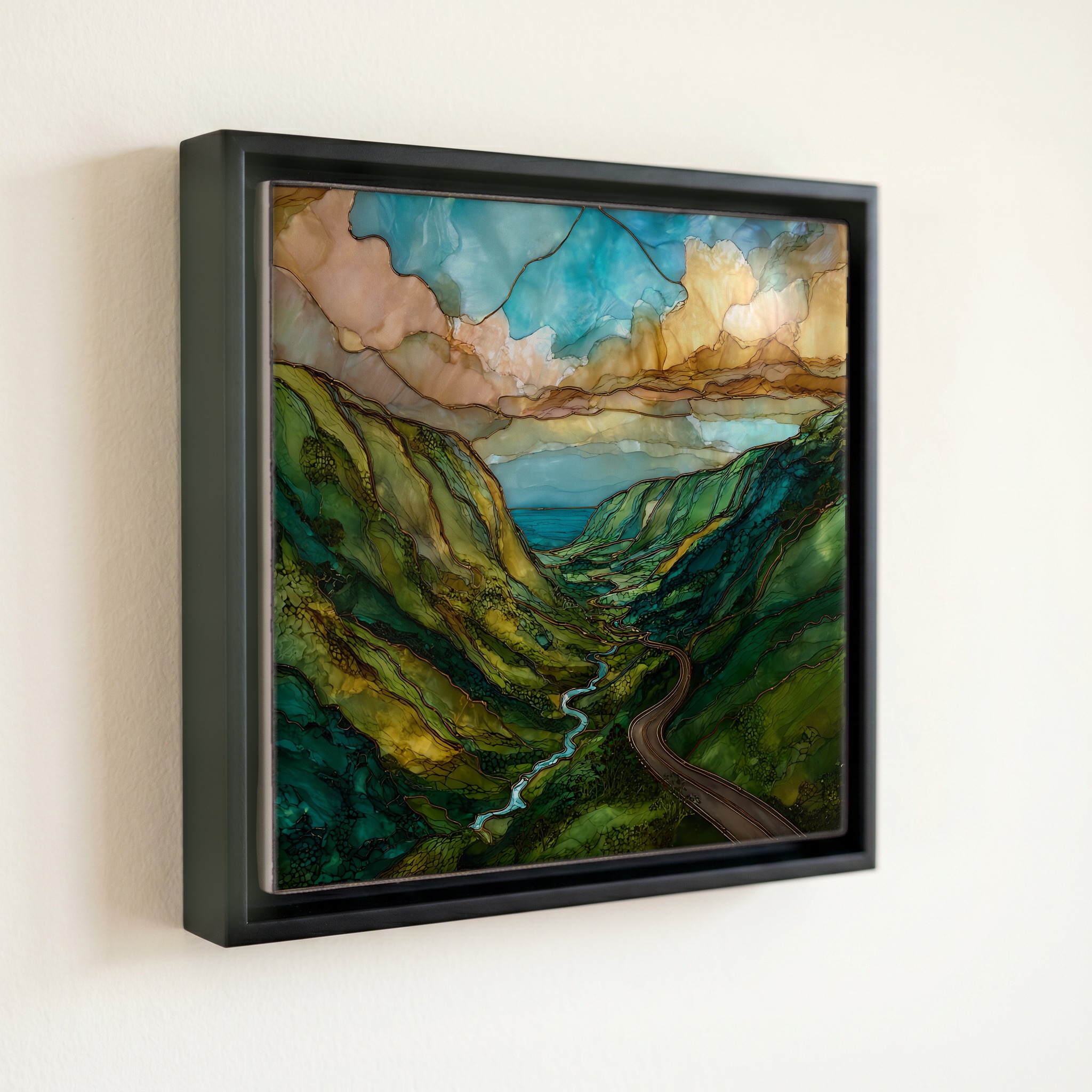
Hamakua Cane Road Big Island Ceramic Art Tile, on ceramic.
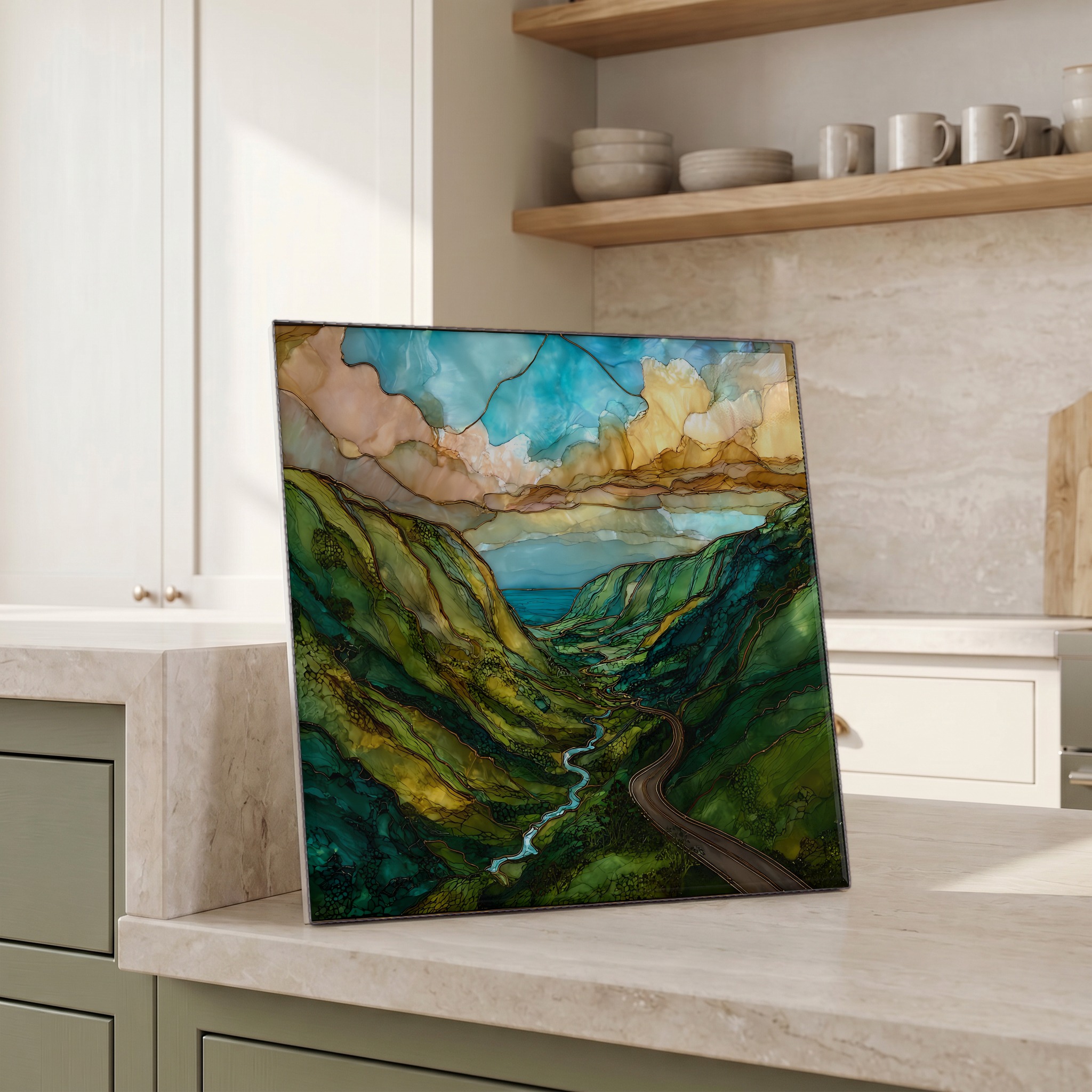
Each tile is finished by hand in our Knoxville studio. Artwork is slowly infused into the ceramic surface under high heat and pressure, and rests beneath a thin glossy finish. The colour lives in the surface, not on top of it.
Pick any four 4-inch tiles — National Parks you've been to, a Smokies set, the four seasons of one place. $ for a set of , cork-backed, ready to live on the table.
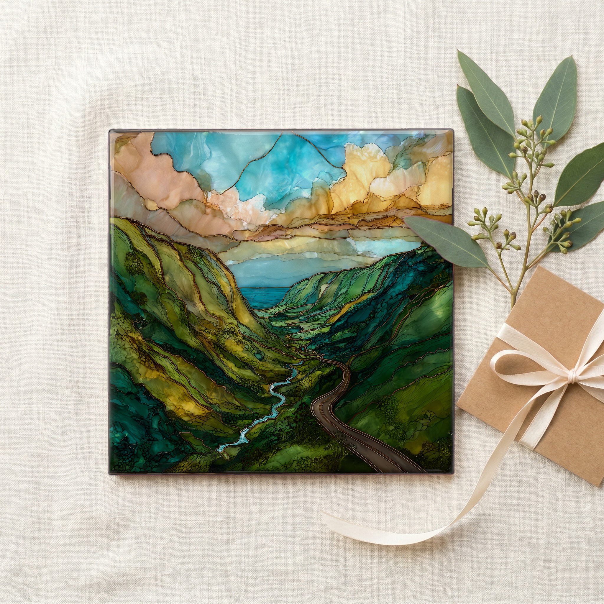
Each tile ships in a kraft box, tied with cream ribbon, with a handwritten note from the studio if you'd like to add one.
Three or five different vistas, hung together — a chapter of places you've been, or want to go.
The place, in three passes.
The Hāmākua Coast runs along the windward side of Hawai'i Island, from Hilo north to the cliffs above Waipi'o Valley — roughly 50 miles of rain-fed coast facing the open Pacific. The Old Māmalahoa Highway, the original belt road built in the early 1900s, winds in and out of more than thirty stream-cut gulches, crossing them on narrow steel-truss bridges. Most travelers take the parallel Highway 19; the older road is slower, lined with ginger, African tulip, and ohi'a that took over after the sugar mills closed. The plantation towns — Honoka'a, Pa'auilo, Laupāhoehoe, Pepe'ekeo — still hold the road's plan, the way each one cups around where the cane once came in from the fields.
The Hāmākua Coast receives some of the highest rainfall in the state — 80 to 130 inches a year along the cane belt — pulled in by trade winds rising against the slopes of Mauna Kea. The water cuts the land into a ribbed shape of gulches and falls. 'Akaka Falls drops 442 feet through a fern-walled amphitheatre near Honomū, with Kahuna Falls another 100 feet in the same park. Rainbow Falls on the Wailuku River, just outside Hilo, runs full all year. Each gulch the highway crosses carries its own stream: Kolekole, Maulua, Hakalau, Honoli'i. Most run year-round, and the older bridges still carry the stream names cast into their concrete abutments.
The most-driven stretch is the four-mile Pepe'ekeo Scenic Drive, a hairpin loop off Highway 19 about eight miles north of Hilo, threading what was Pepe'ekeo Sugar Company land. The Hāmākua Heritage Corridor follows the older Māmalahoa Highway further north, through Honoka'a and on toward Waipi'o Lookout. The road is paved but narrow — one lane on the older bridges, with right-of-way usually given to the heavier vehicle. No permits, no fees. Most people drive it slowly, with windows down. The Hawai'i Tropical Botanical Garden at Onomea Bay, opened to the public in 1984, is the most-visited stop along the scenic drive, and worth a morning.