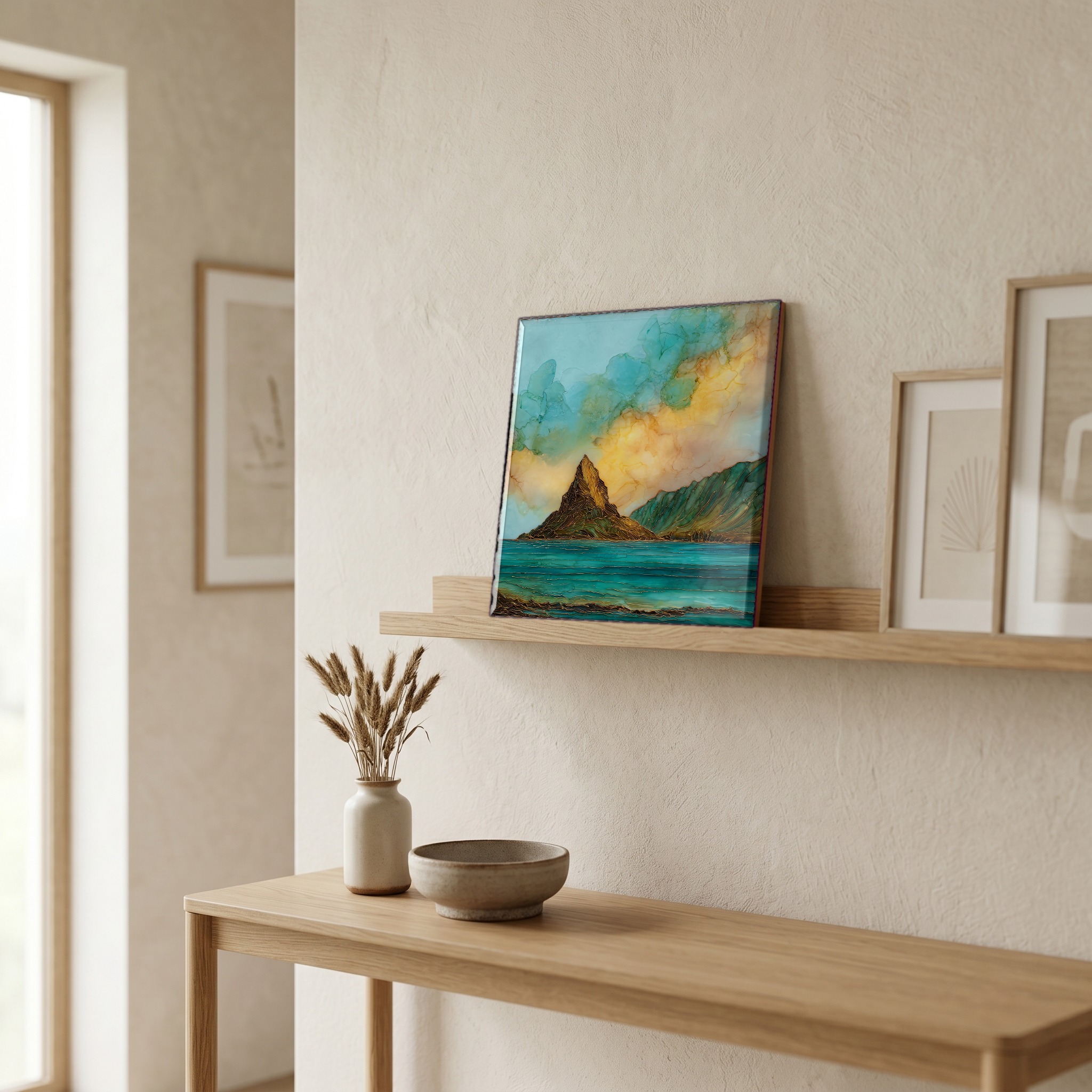
Mokolii Chinamans Hat Oahu Ceramic Art Tile
— — the tail the goddess left behind.
Not only on a wall.

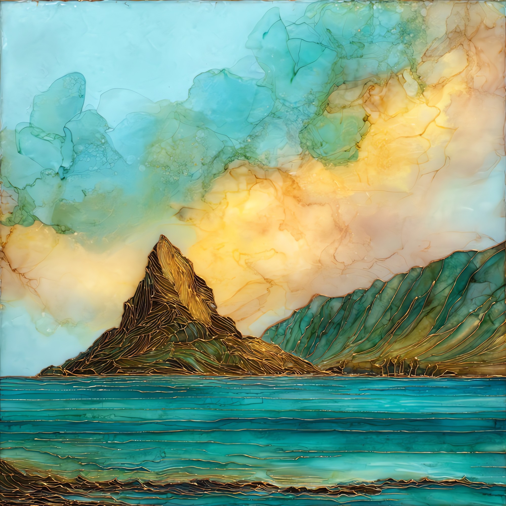
“A small basalt islet just off the windward coast of Oahu, at the mouth of Kāne'ohe Bay. From Kualoa the silhouette reads as a single low cone, which is how it got its English nickname. The Hawaiian name is Mokoli'i, which means little lizard. The mo'olelo holds that the islet is the tail of a mo'o slain on this shore by Hi'iaka, sister of the volcano goddess Pele. At low tide the channel is wadable. Most mornings the bay sits flat enough that the cone reflects whole.
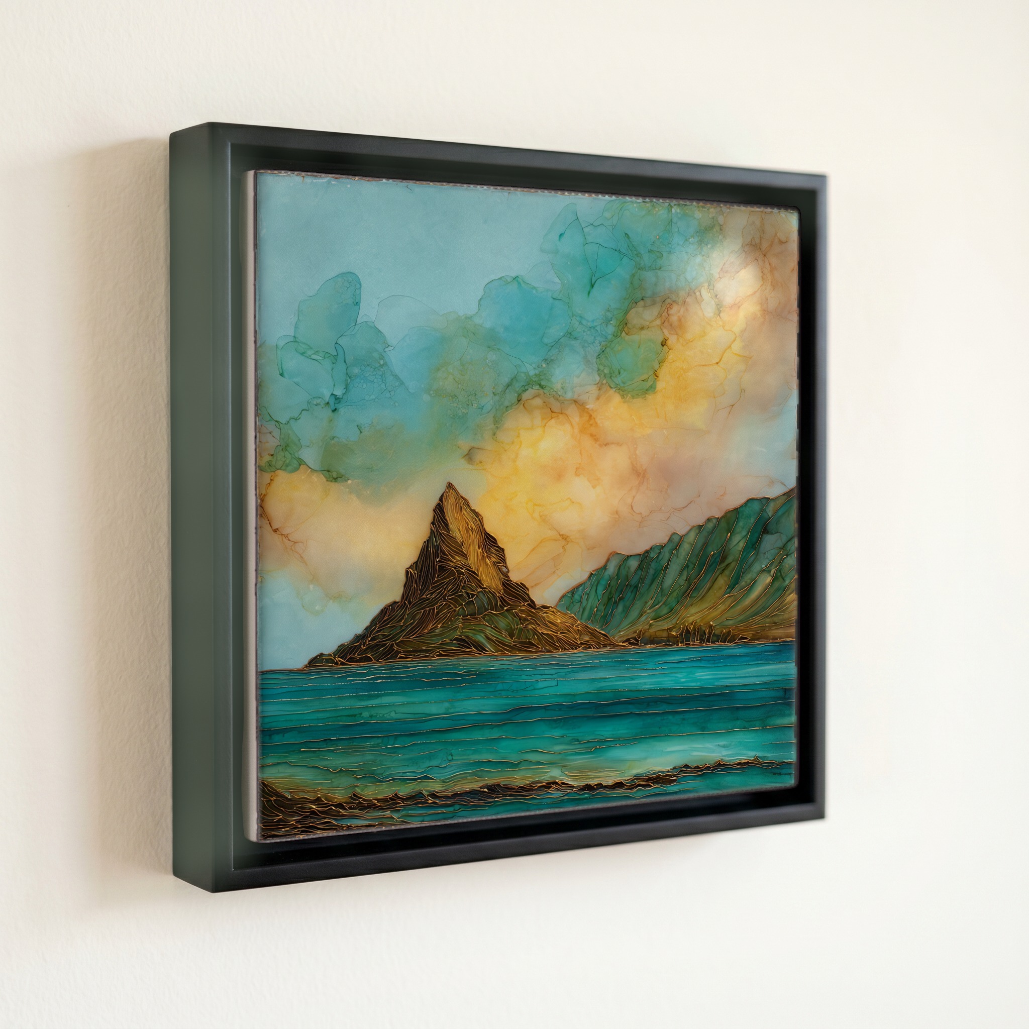
Mokolii Chinamans Hat Oahu Ceramic Art Tile, on ceramic.
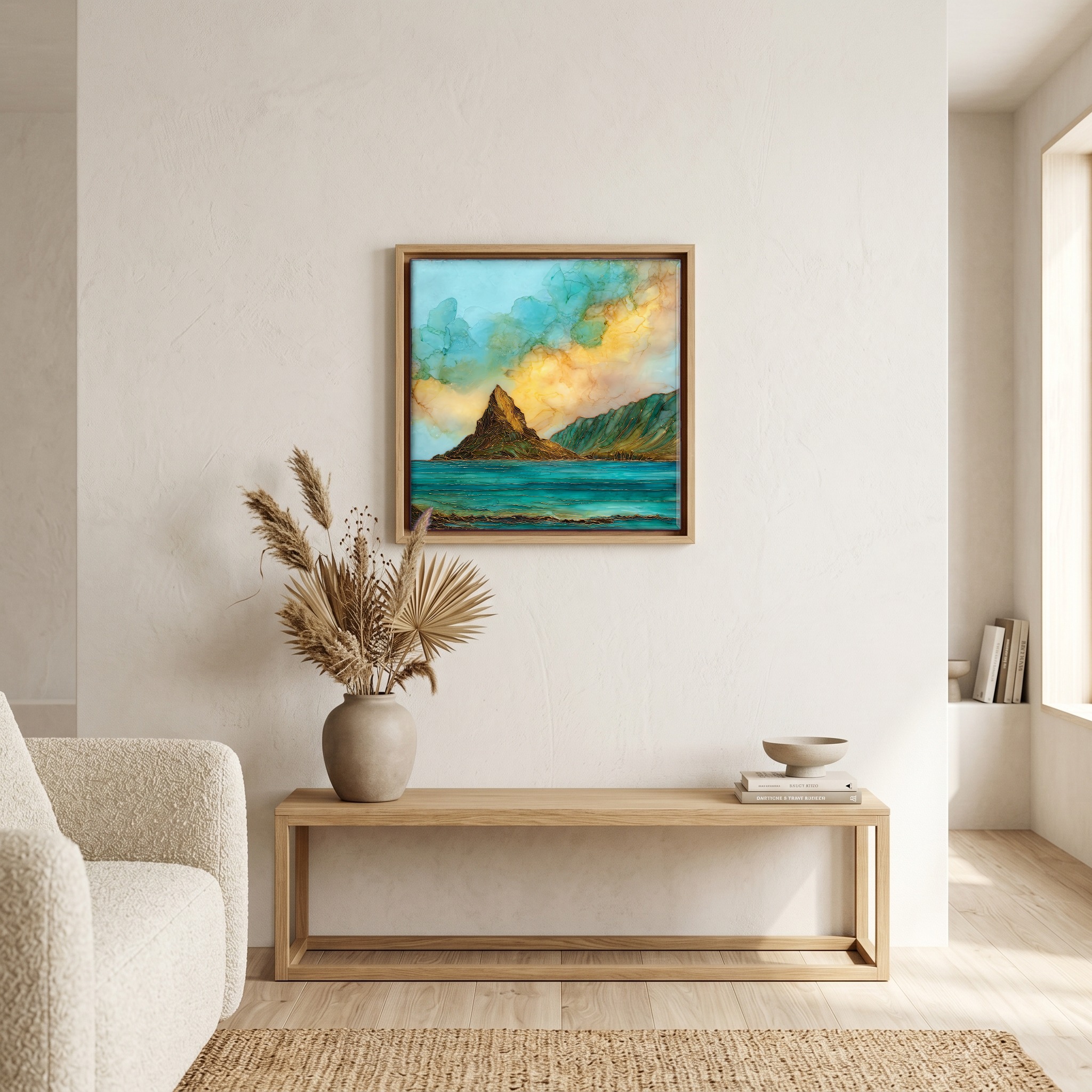
Each tile is finished by hand in our Knoxville studio. Artwork is slowly infused into the ceramic surface under high heat and pressure, and rests beneath a thin glossy finish. The colour lives in the surface, not on top of it.
Pick any four 4-inch tiles — National Parks you've been to, a Smokies set, the four seasons of one place. $ for a set of , cork-backed, ready to live on the table.
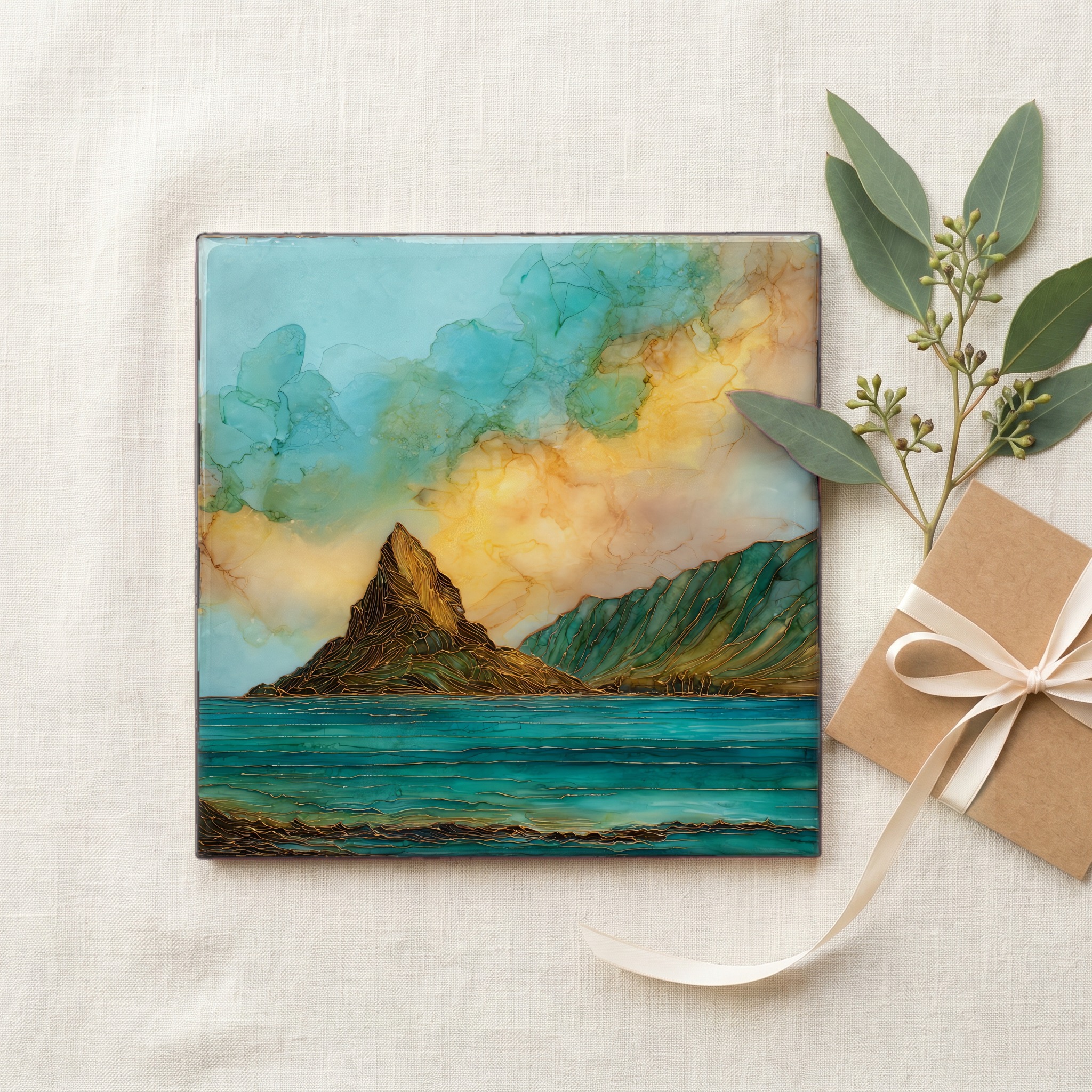
Each tile ships in a kraft box, tied with cream ribbon, with a handwritten note from the studio if you'd like to add one.
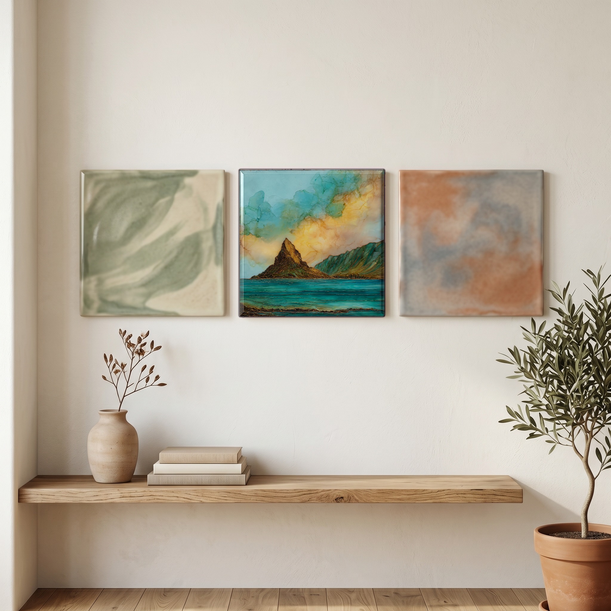
Three or five different vistas, hung together — a chapter of places you've been, or want to go.
The place, in three passes.
Mokoli'i is a small basalt islet about 500 metres off the eastern shore of Oahu, at the mouth of Kāne'ohe Bay. It sits opposite Kualoa Regional Park in the Ko'olauloa district, on the windward side of the island. The English nickname Chinaman's Hat comes from the silhouette of its single conical peak, which rises 63 metres (206 feet) above the water. In Hawaiian, Mokoli'i means 'little lizard', a reference to the mo'olelo in which the islet is the tail of a giant mo'o slain by Hi'iaka, the sister of the volcano goddess Pele. The bay around it is the largest sheltered body of water in the main Hawaiian Islands.
The islet is an erosional remnant of the Ko'olau volcano, the ancient shield that built the eastern half of Oahu around two and a half million years ago. The shape that gives Mokoli'i its English name is what's left of a basaltic ridge that once joined the islet to the mainland, worn back by wave action and the slow collapse of the Ko'olau caldera. The 63-metre cone holds the same dark, hard rock as the cliffs of the Ko'olau Range that rise behind Kualoa, and the soil at its base supports a thin cover of grasses and naupaka. From the Kualoa shore the basalt reads almost black against the bay water, which is why the cone's silhouette is so legible at distance.
Mokoli'i is reached from Kualoa Regional Park, a 153-acre county park on Kamehameha Highway in the Ko'olauloa district. At low tide the channel is shallow enough to wade, in reef shoes, in about thirty minutes from the Kualoa beach; at any other tide most visitors paddle across by kayak. The small leeward beach is open for landing, but the rocky upper slopes are part of a state seabird sanctuary and climbing the cone is prohibited to protect nesting wedge-tailed shearwaters. Kualoa Park is open daily from 7am to 8pm and is free to enter. The windward coast is rainier than Honolulu, and the bay is calmest in the early morning before the trade winds rise.