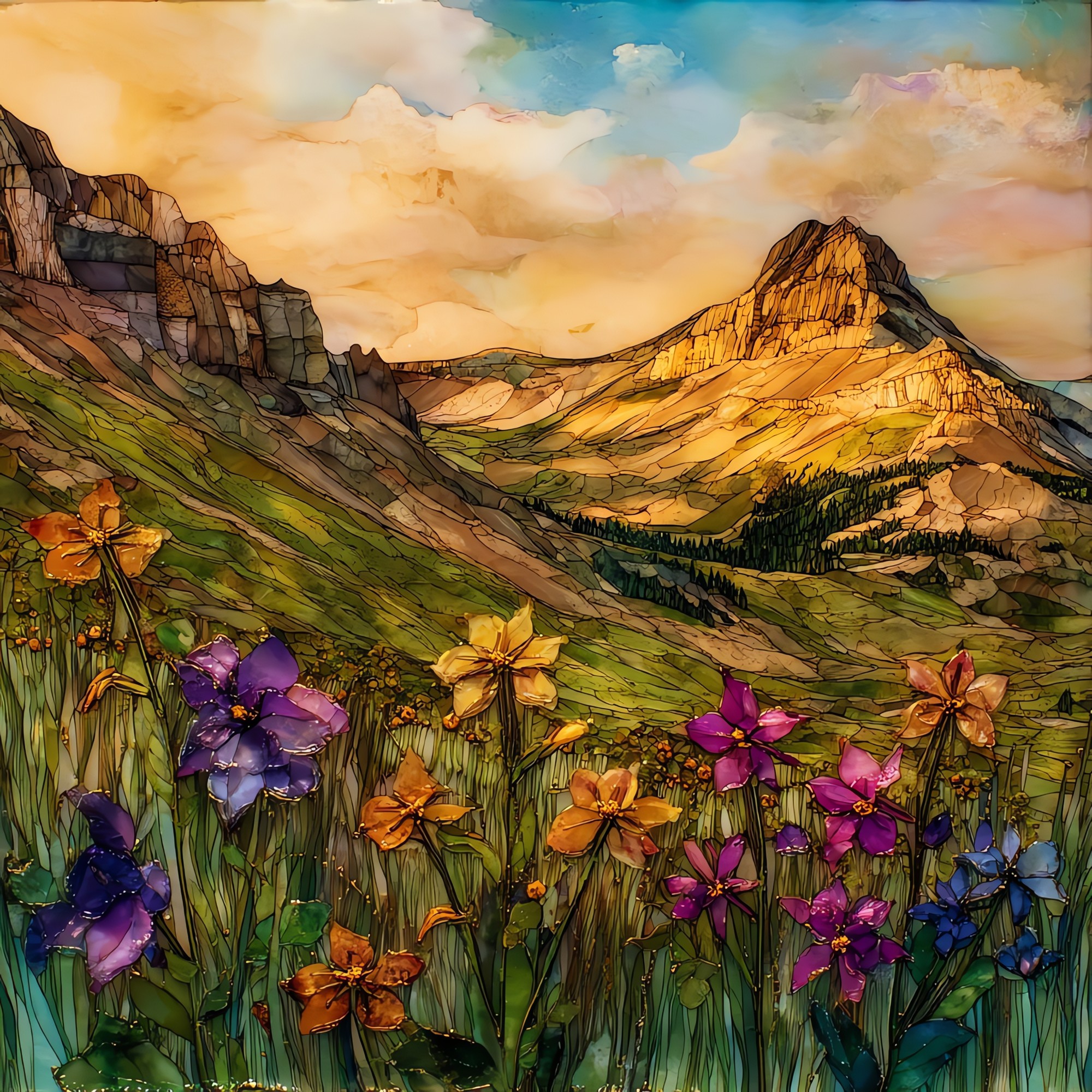
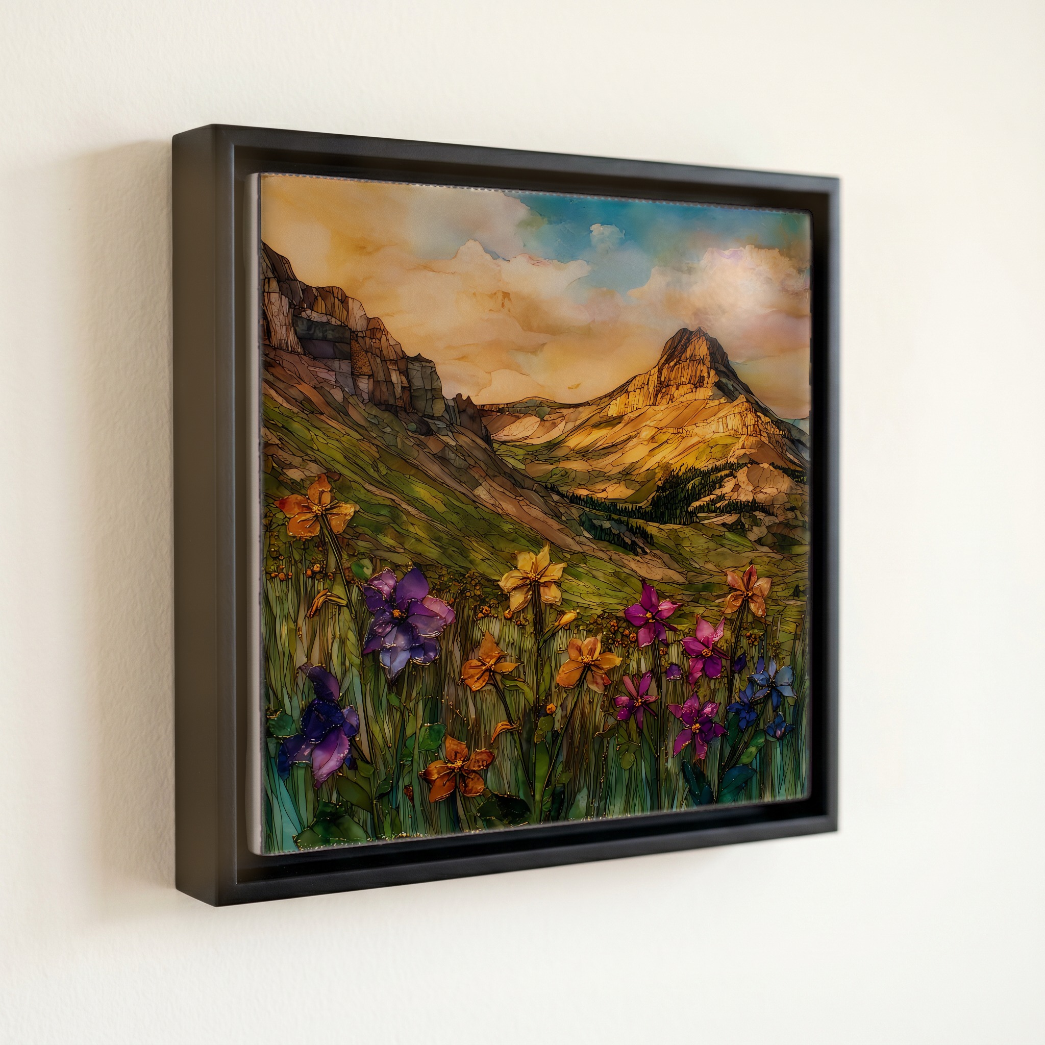
Yankee Boy Basin wildflowers San Juans Ceramic Art Tile
— — the two weeks the snowfields become columbine.
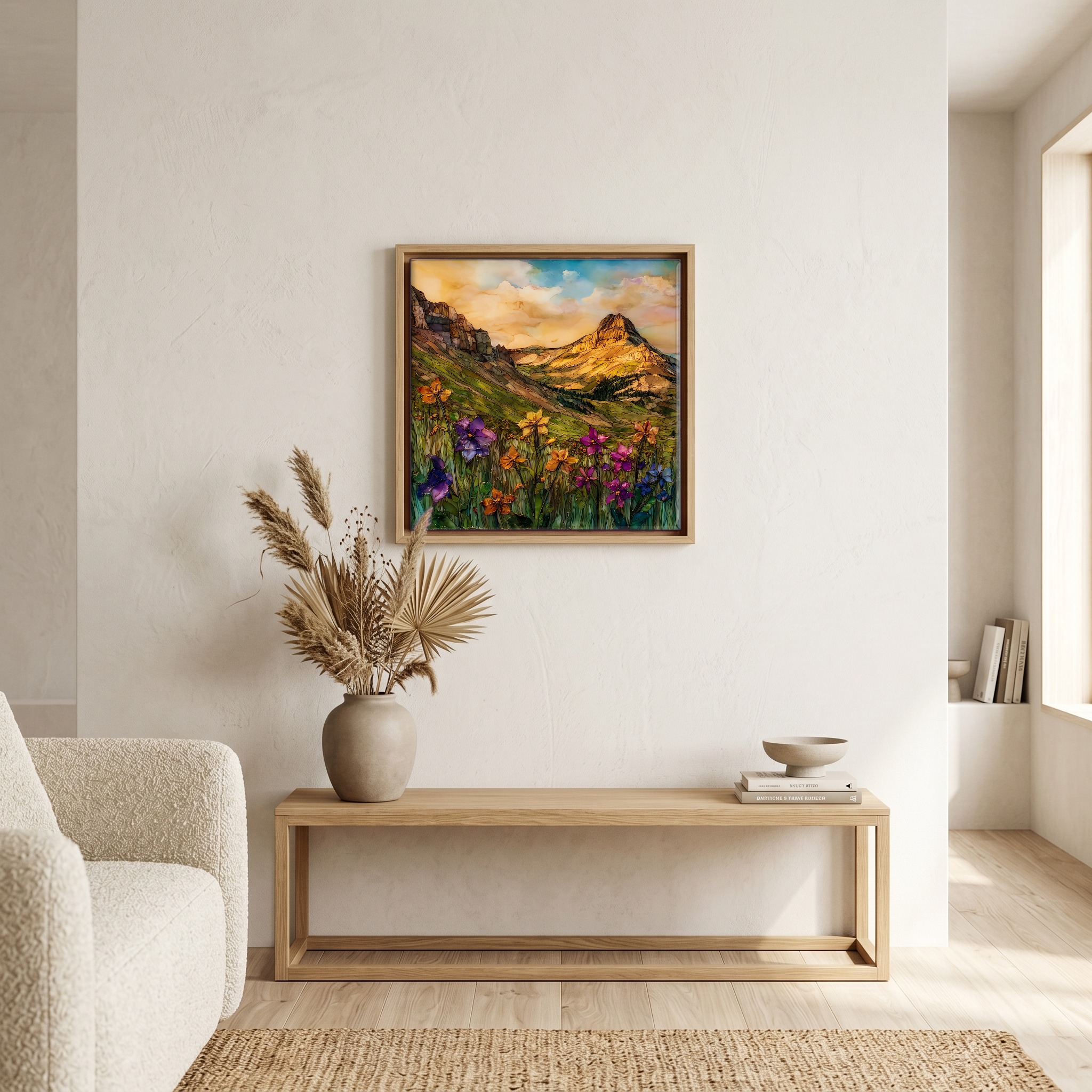
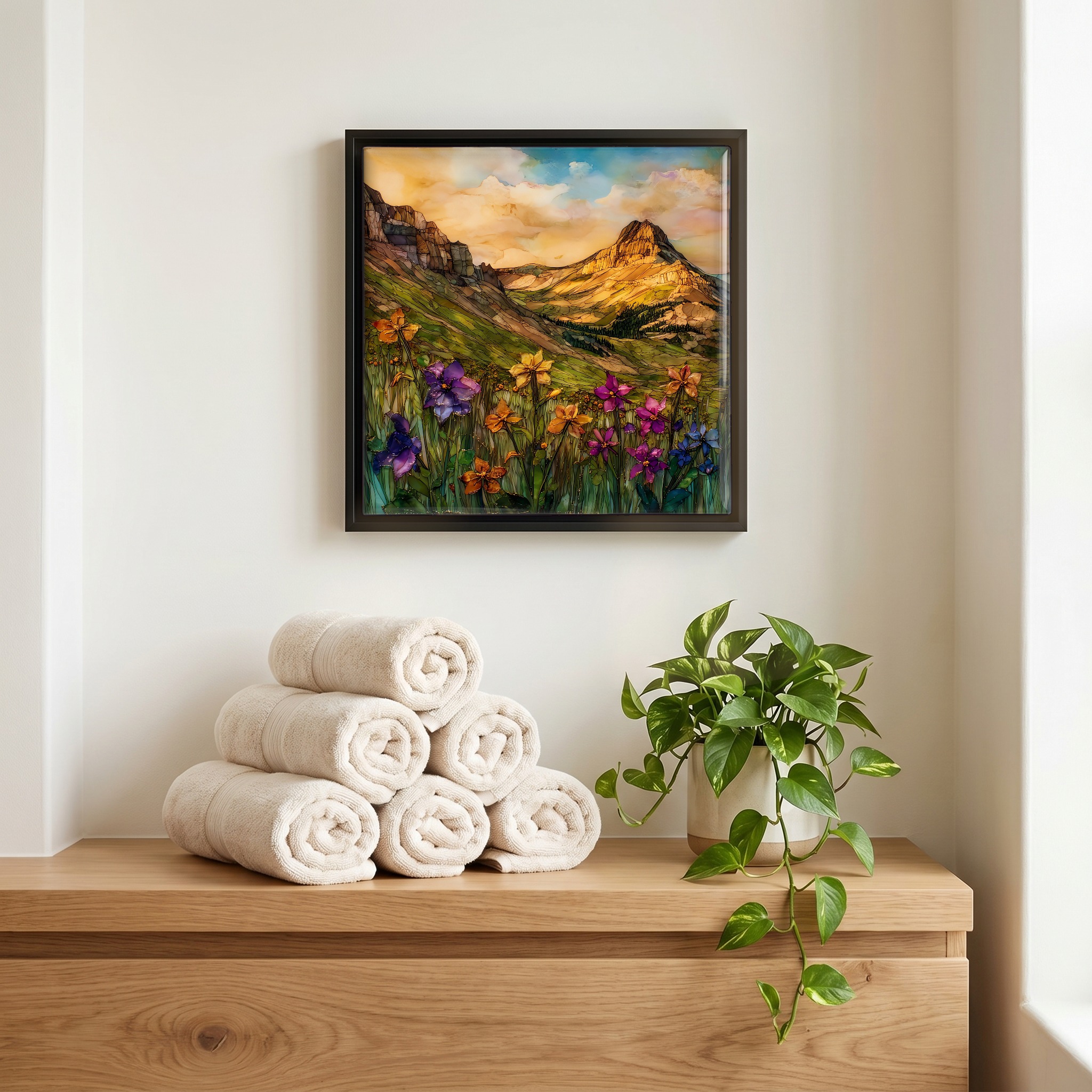
Not only on a wall.


“The high basin above Ouray, where the four-wheel road from Camp Bird ends in a meadow under Mt. Sneffels. For about two weeks each July, after the snow lifts and before the season turns, the basin holds the densest wildflower display in the southern San Juans: columbine, paintbrush, larkspur, parry primrose, all at once. Yankee Boy Falls runs through it. The town of Ouray calls itself the Switzerland of America; this is the back room where it earns the name.
Yankee Boy Basin wildflowers San Juans Ceramic Art Tile, on ceramic.
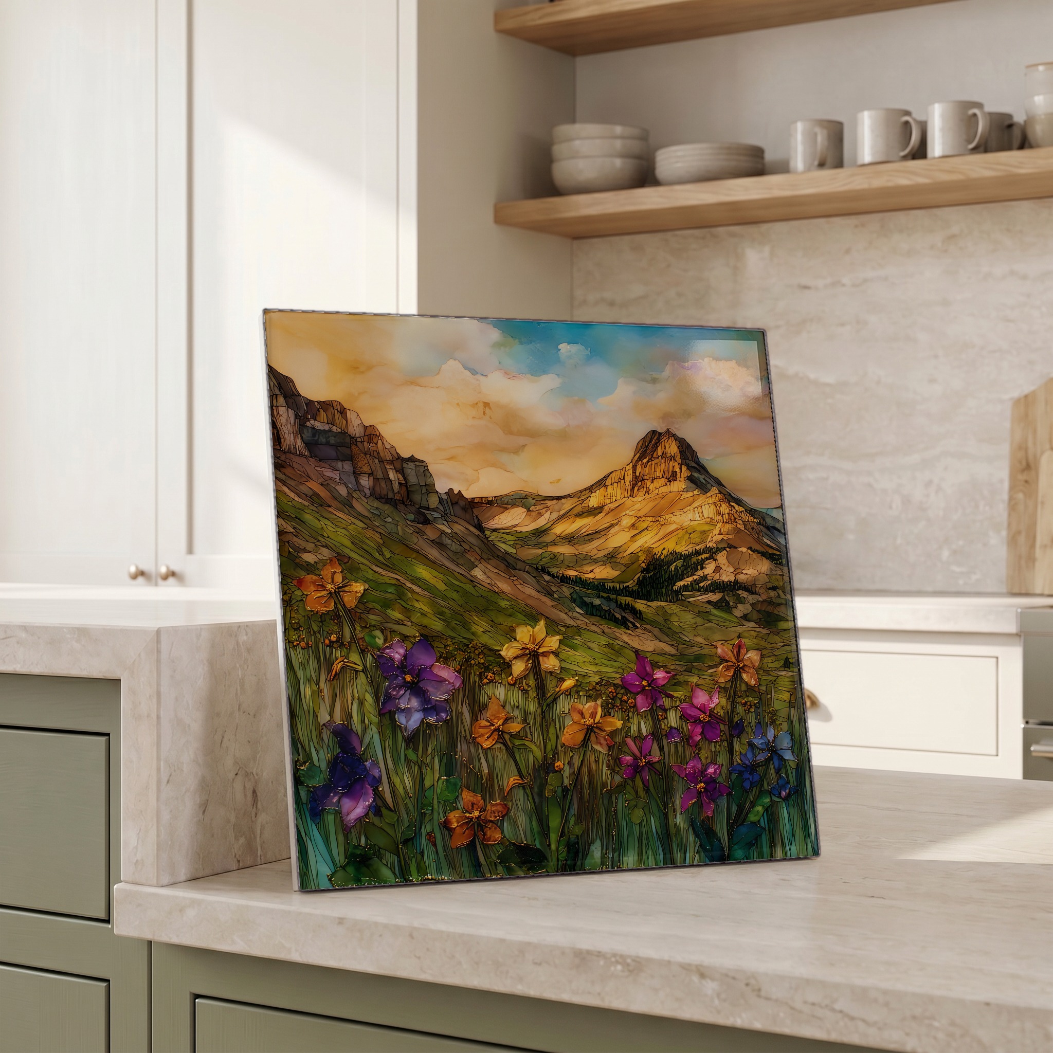
Each tile is finished by hand in our Knoxville studio. Artwork is slowly infused into the ceramic surface under high heat and pressure, and rests beneath a thin glossy finish. The colour lives in the surface, not on top of it.
Pick any four 4-inch tiles — National Parks you've been to, a Smokies set, the four seasons of one place. $ for a set of , cork-backed, ready to live on the table.
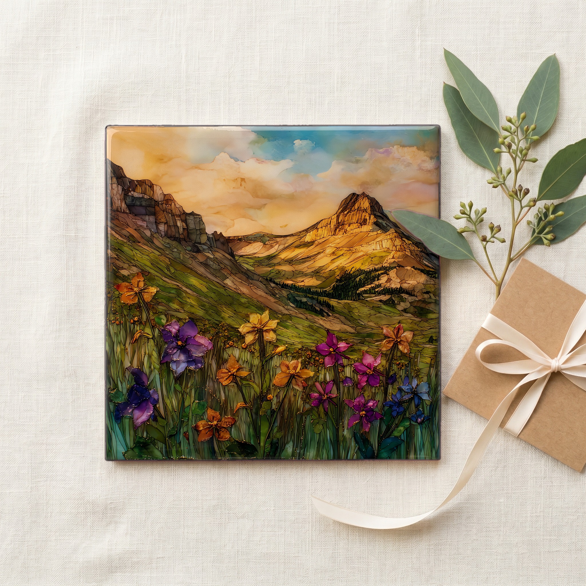
Each tile ships in a kraft box, tied with cream ribbon, with a handwritten note from the studio if you'd like to add one.
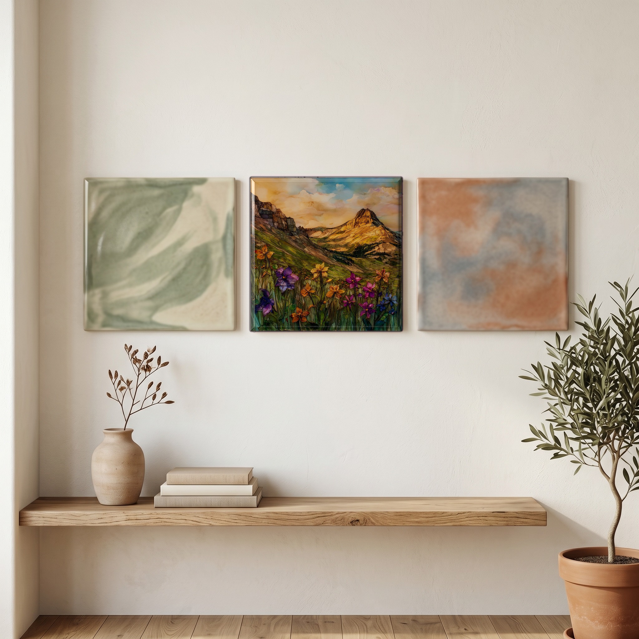
Three or five different vistas, hung together — a chapter of places you've been, or want to go.
The place, in three passes.
Yankee Boy Basin sits in the San Juan Mountains of southwestern Colorado, within the Uncompahgre National Forest, about three miles west of the town of Ouray. The basin opens above the Camp Bird Mine at roughly 11,500 feet, climbing toward Lavender Col and the south face of Mt. Sneffels, the 14,158-foot peak at the head of the cirque. Yankee Boy Falls and Twin Falls drop into the meadow from snowfields that linger into July. The basin is reached by Camp Bird Road, designated Ouray County Road 26, which becomes a high-clearance four-wheel-drive route past the Atlas Mill ruins.
The basin's wildflower bloom typically peaks between mid-July and early August, a window that shifts each year with the depth of the prior winter's snowpack and the timing of the spring melt. At this elevation, Yankee Boy holds one of the densest single-basin displays in the lower forty-eight: Colorado columbine (the state flower, designated in 1899), Indian paintbrush, alpine sunflower, parry primrose, and larkspur grow shoulder-to-shoulder where snowmelt rivulets cross the meadow. By mid-September the basin is going gold, and Camp Bird Road usually closes with the first significant snow above the Atlas Mill.
Access begins from US Highway 550 in Ouray, the small mining-era town that calls itself the Switzerland of America, turning west onto Camp Bird Road for a paved-then-graded climb of about seven miles past the Atlas Mill ruins. From the marked junction, the upper road requires high-clearance four-wheel-drive; passenger cars cannot reach the meadow. The basin sits on Uncompahgre National Forest land, with no entrance fee and no visitor center. Mt. Sneffels (14,158 feet) is climbed from the upper basin via the standard Lavender Col route, a Class 3 scramble. Weather changes fast above 12,000 feet; afternoon thunderstorms in July are the rule, not the exception.