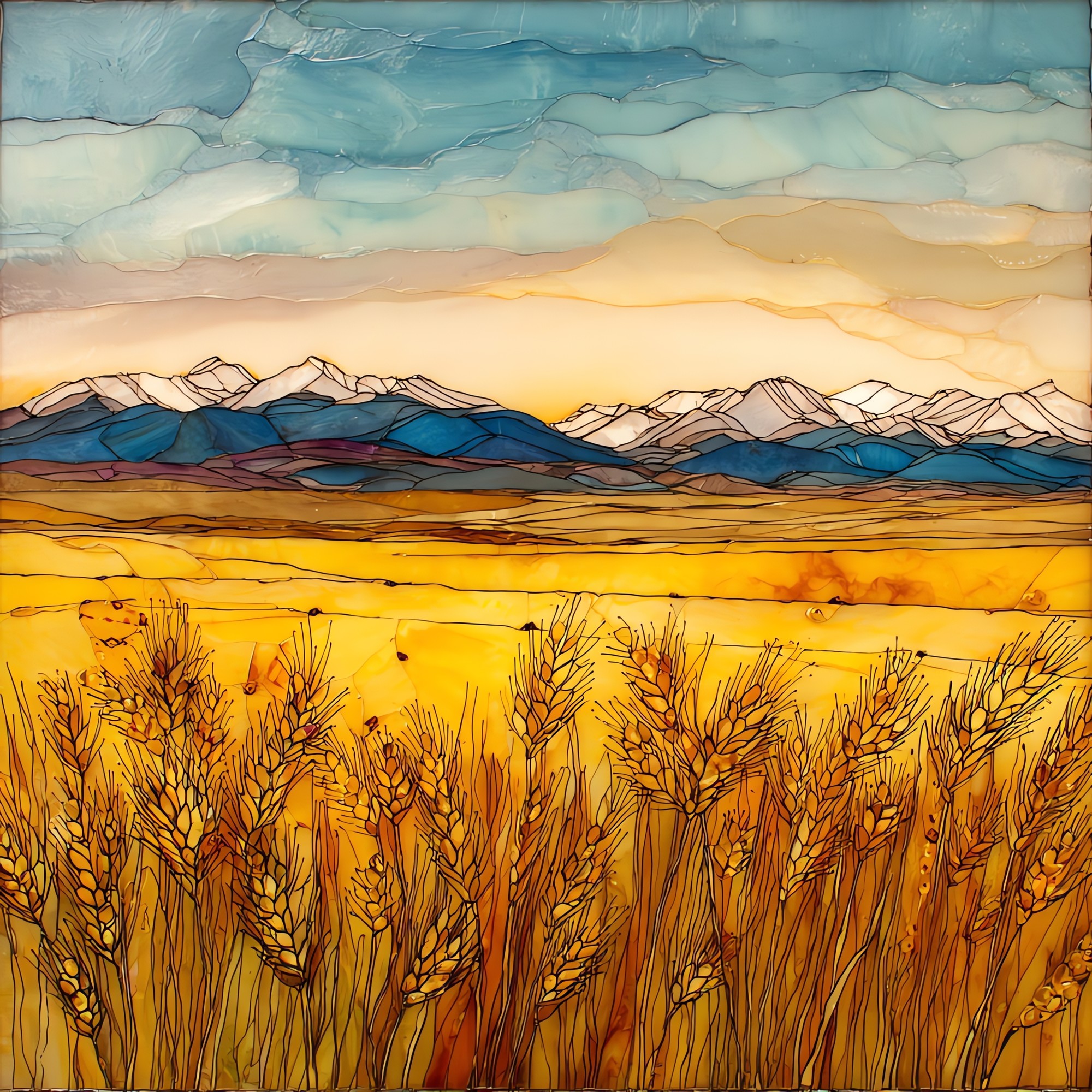
Wheat fields eastern plains Ceramic Art Tile
— amber, all the way to Kansas.
Not only on a wall.


“The eastern third of Colorado, where the Rockies finally let go and the land runs flat to Kansas. Hard red winter wheat in long sections, planted in October and cut in early July, between rangeland and dryland corn. In July of 1893 Katharine Lee Bates rode a train across this country on her way to Pikes Peak. By the end of the trip she had written the line about amber waves. Combines move north through harvest. Grain elevators mark the towns: Akron, Yuma, Burlington, Wray. The sky goes the rest of the way.
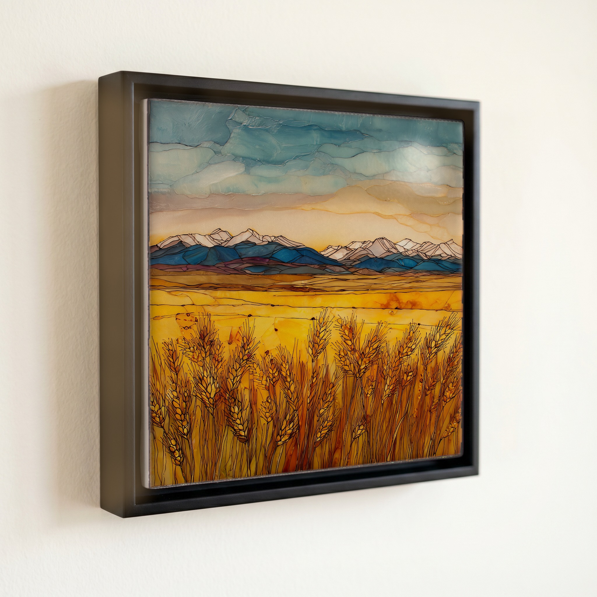
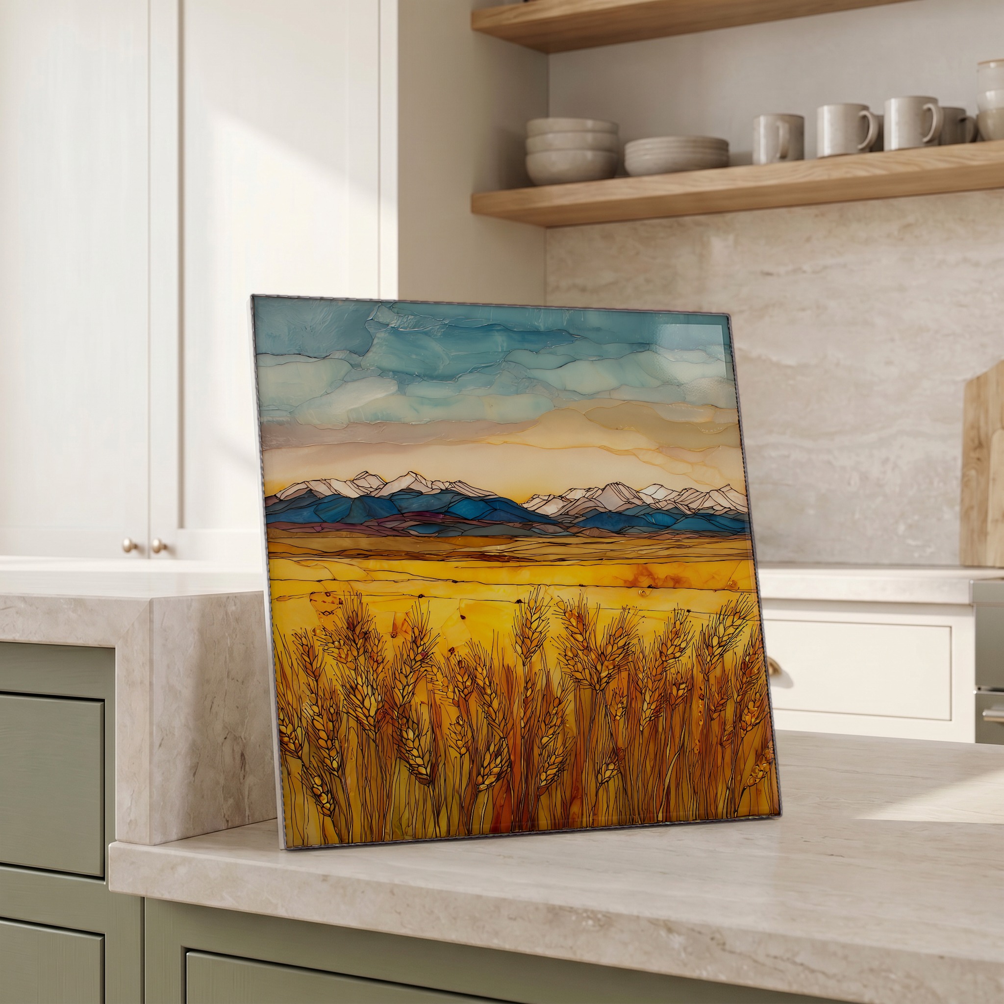
Wheat fields eastern plains Ceramic Art Tile, on ceramic.
Each tile is finished by hand in our Knoxville studio. Artwork is slowly infused into the ceramic surface under high heat and pressure, and rests beneath a thin glossy finish. The colour lives in the surface, not on top of it.
Pick any four 4-inch tiles — National Parks you've been to, a Smokies set, the four seasons of one place. $ for a set of , cork-backed, ready to live on the table.
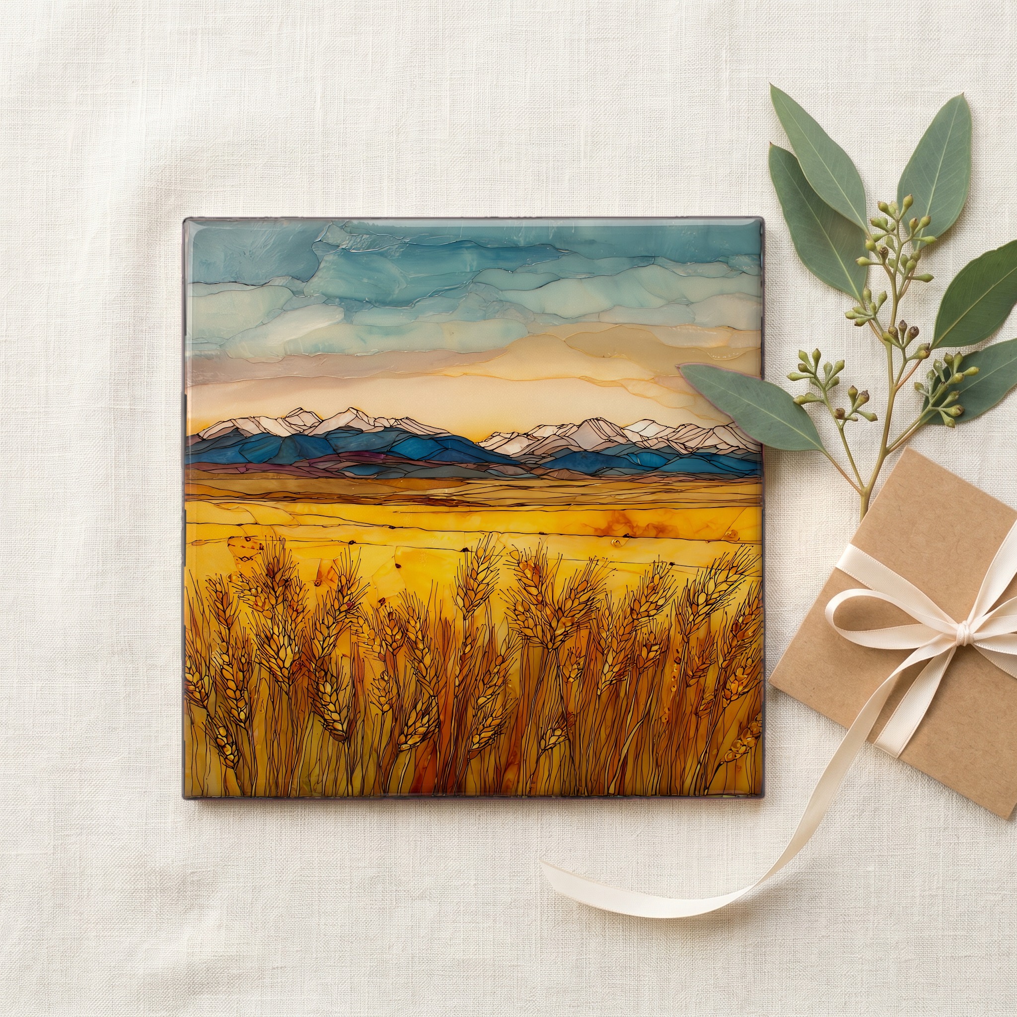
Each tile ships in a kraft box, tied with cream ribbon, with a handwritten note from the studio if you'd like to add one.

Three or five different vistas, hung together — a chapter of places you've been, or want to go.
The place, in three passes.
The Eastern Plains run from the foot of the Front Range east to the Kansas and Nebraska state lines, covering roughly the eastern third of Colorado. The land is the western edge of the Great Plains, sitting at 3,500 to 5,500 feet of elevation. This is high prairie, not flat country. Two national grasslands preserve the native shortgrass: the Pawnee in the north, in Weld County, and the Comanche in the south, in Las Animas and Baca counties. The wheat belt sits between them, anchored by elevator towns along U.S. 36 and U.S. 287: Akron, Yuma, Burlington, Lamar. The whole region sits west of the 100th meridian, which the geographer John Wesley Powell named in 1878 as the dividing line between humid East and arid West.
The wheat is hard red winter wheat, planted in late September and October, dormant through the cold months, and harvested between late June and mid-July. The gold of the Eastern Plains is a short season: maybe four weeks from when the heads turn from green to amber to when the combines cut them down. Custom harvest crews, often called wheaties, work their way north from Texas through Oklahoma and Kansas into Colorado, then on into Nebraska and the Dakotas, chasing ripeness through the summer. By August the fields are stubble, and by late September the next crop is in the ground. Colorado typically ranks among the top ten winter-wheat producing states in the U.S., per the USDA National Agricultural Statistics Service.
The plains sky is the dominant feature. Above the wheat there is more weather visible at once than almost anywhere east of the Rockies: a high pressure cell pushing in from Wyoming, a thunderhead building over Kit Carson County, a curtain of rain twenty miles off that may or may not reach the field. The High Plains average twelve to sixteen inches of precipitation a year, almost all of it in storms between April and August, which is why dryland wheat is the crop that works here and irrigated row crops sit closer to the wellheads of the Ogallala Aquifer. Hail is the constant risk in June. The wind blows hard enough most days that the wheat heads move in long waves, a mile at a time.