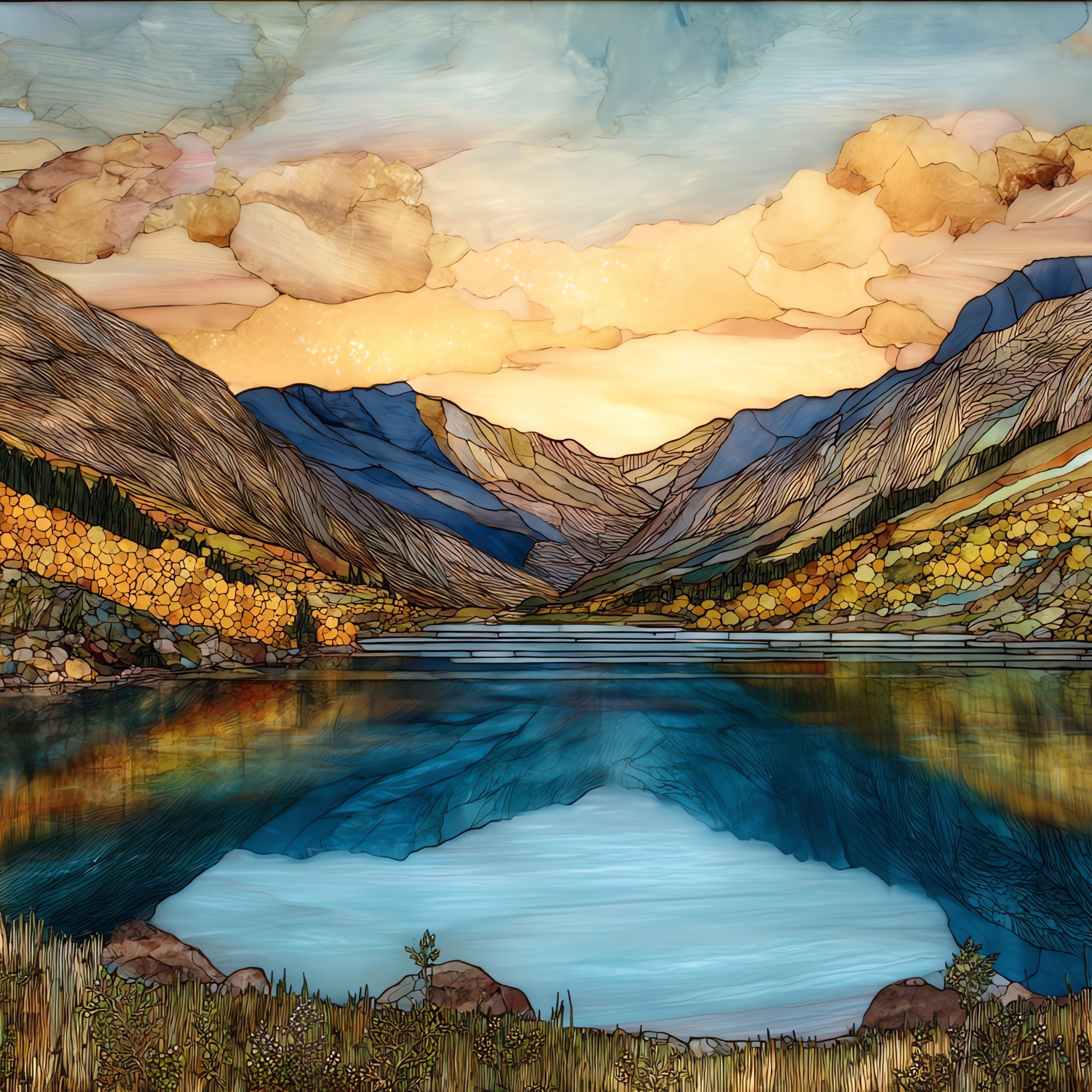
Twin Lakes below Mt Elbert Sawatch Range Ceramic Art Tile
— the highest peak in the Rockies, twice over.
Not only on a wall.


“Two glacial lakes at the foot of Mount Elbert, in the eastern Sawatch. The mountain is the highest in the Rocky Mountains and the second-highest summit in the lower forty-eight, and on calm mornings the lake holds the whole of it. The old mining village beside the water sits on the National Register of Historic Places. Highway 82 climbs west from here over Independence Pass to Aspen, open from late May to early November when the snow allows. The rest of the year it is mostly the lakes, the mountain, and the quiet.
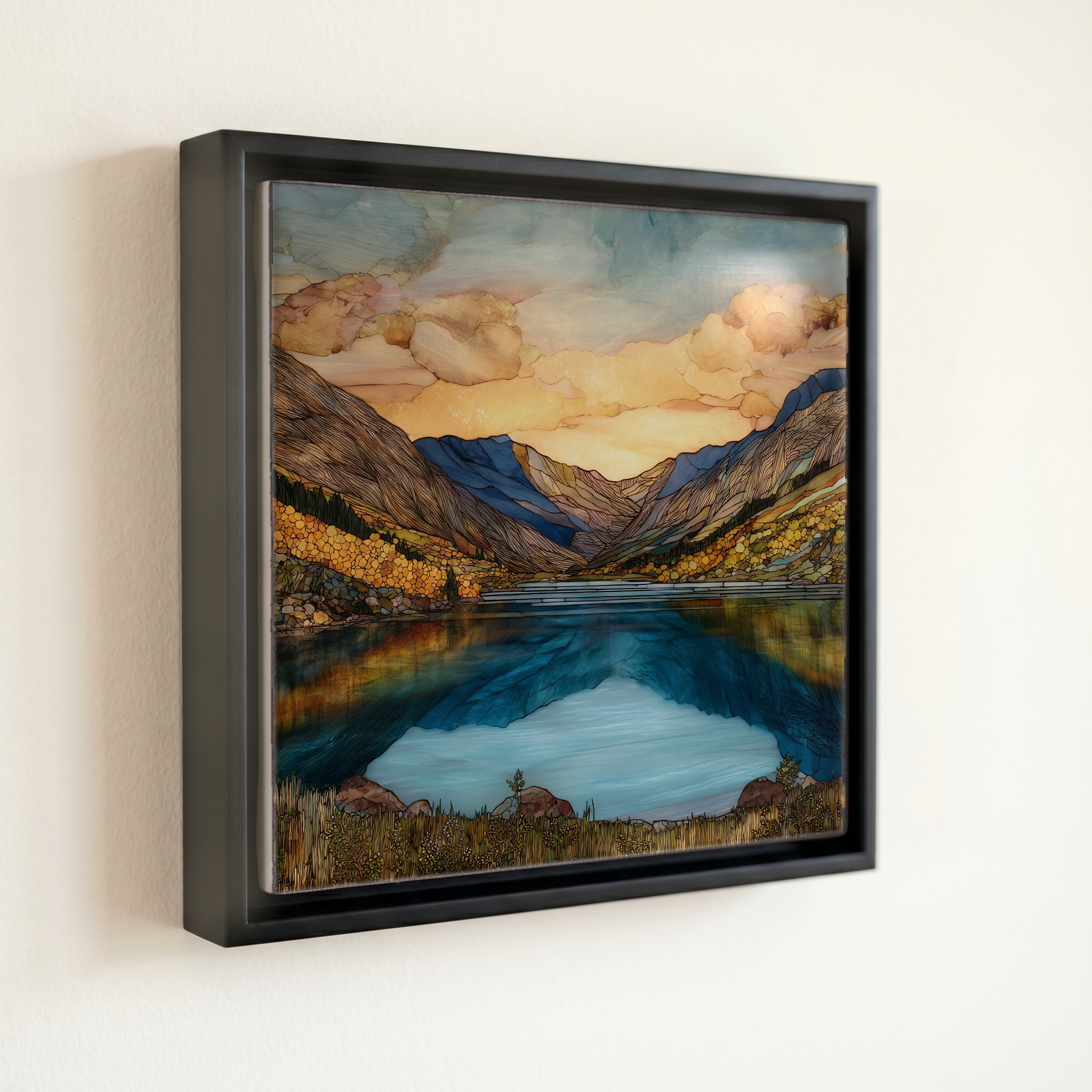
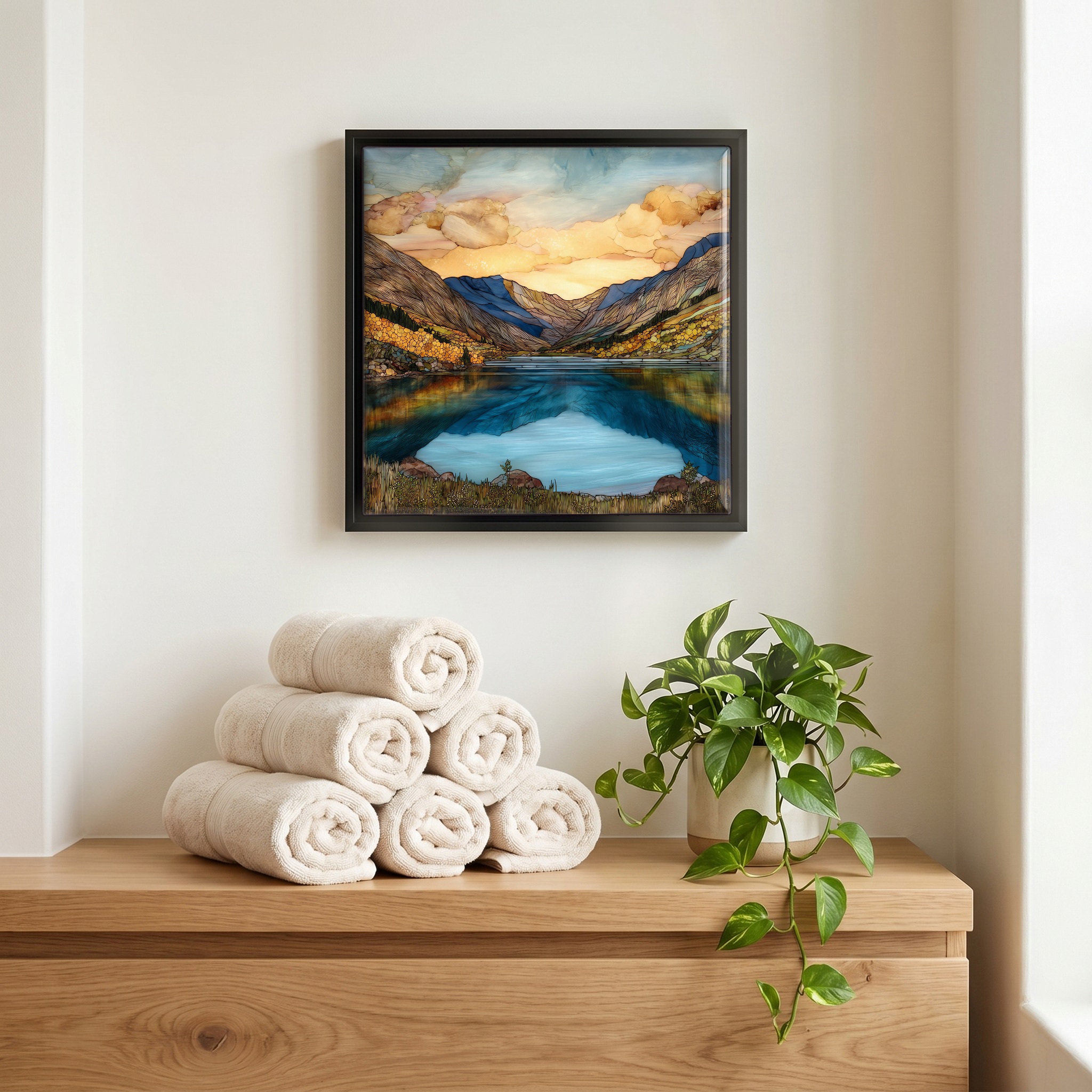
Twin Lakes below Mt Elbert Sawatch Range Ceramic Art Tile, on ceramic.
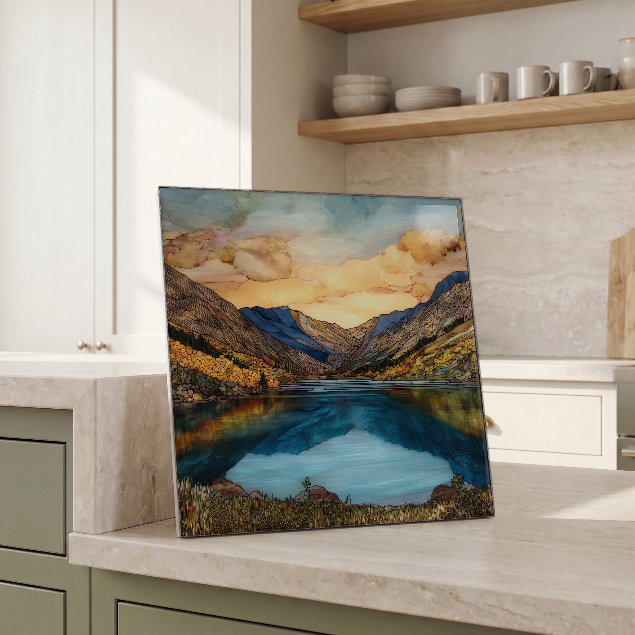
Each tile is finished by hand in our Knoxville studio. Artwork is slowly infused into the ceramic surface under high heat and pressure, and rests beneath a thin glossy finish. The colour lives in the surface, not on top of it.
Pick any four 4-inch tiles — National Parks you've been to, a Smokies set, the four seasons of one place. $ for a set of , cork-backed, ready to live on the table.
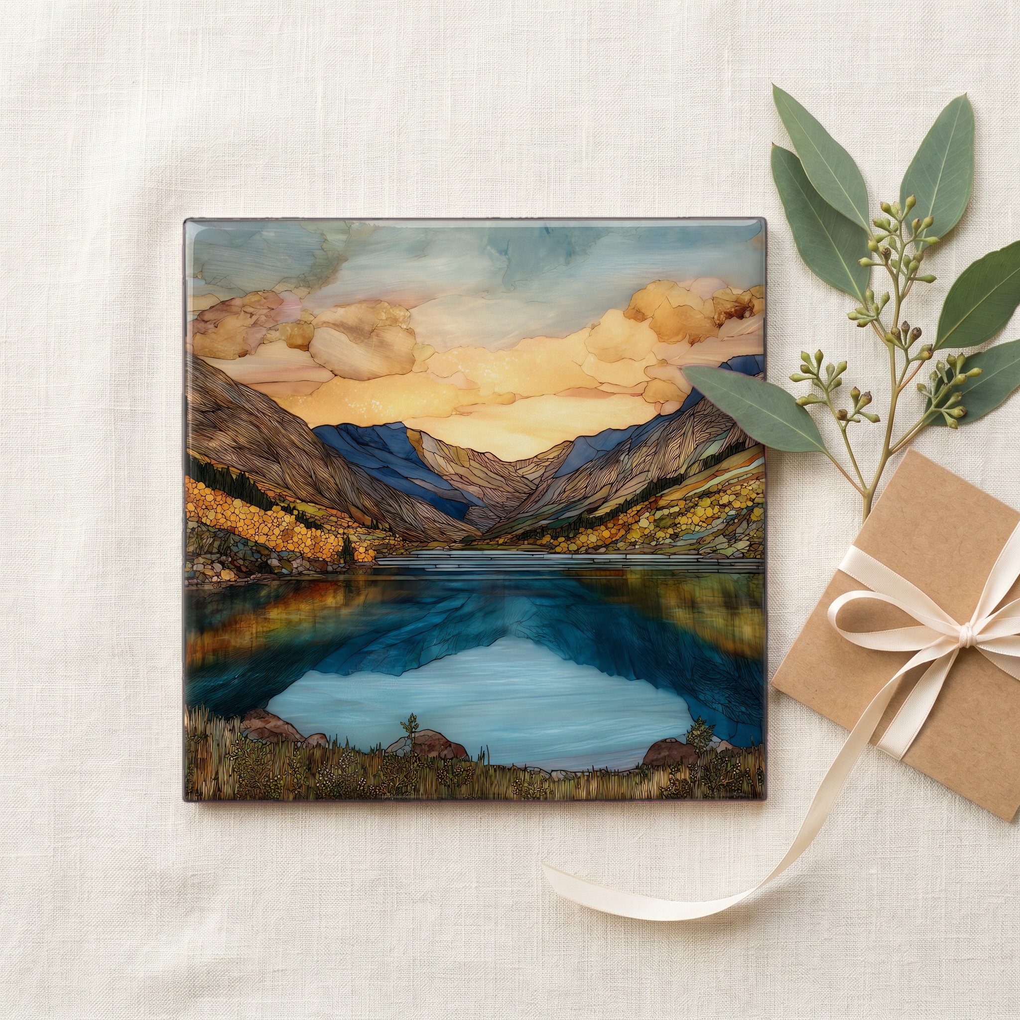
Each tile ships in a kraft box, tied with cream ribbon, with a handwritten note from the studio if you'd like to add one.

Three or five different vistas, hung together — a chapter of places you've been, or want to go.
The place, in three passes.
Twin Lakes sits at roughly 9,200 feet in Lake County, Colorado, on the eastern flank of the Sawatch Range. The two lakes, Upper Twin and the much larger Lower Twin, were carved by glaciers and now anchor the floor of the valley directly below Mount Elbert, the highest peak in the Rocky Mountains at 14,440 feet. The site is reached from US 24 via Colorado State Highway 82, the road that climbs another twenty-five miles west over Independence Pass to Aspen. The surrounding land is San Isabel National Forest, and the historic mining village beside the water, founded in the late nineteenth century, is listed on the National Register of Historic Places.
The lakes are glacial in origin, carved out by ice during the last advance and dammed in two waves by humans since. The Twin Lakes Reservoir and Canal Company raised the original outlet in the 1890s to store irrigation water for the Arkansas Valley downstream, and the United States Bureau of Reclamation enlarged the reservoir again in the 1970s as part of the Fryingpan-Arkansas Project, which moves water under the Continental Divide from the Roaring Fork drainage on the western slope to the dry farms east of the mountains. The water is cold, deep, and stocked with lake and brown trout, and most boating on Lower Twin is limited to small craft.
Highway 82 over Independence Pass typically opens around Memorial Day weekend and closes when the first heavy snow arrives in late October or early November, putting the western approach from Aspen on a five-month window. From the east, US 24 and Leadville keep the lakes reachable in every season, and the basin draws cross-country skiers and ice fishers once the water locks up. Mount Elbert's standard summer route, the North Mount Elbert Trail, runs from late June through September when the snowfields above 13,000 feet have melted out. The South Mount Elbert Trail starts closer to the lakes themselves. Wildflowers in the surrounding meadows peak in mid-July.