Trail Ridge Road Rocky Mountain National Park Ceramic Art Tile
— — the country above the trees.
Not only on a wall.


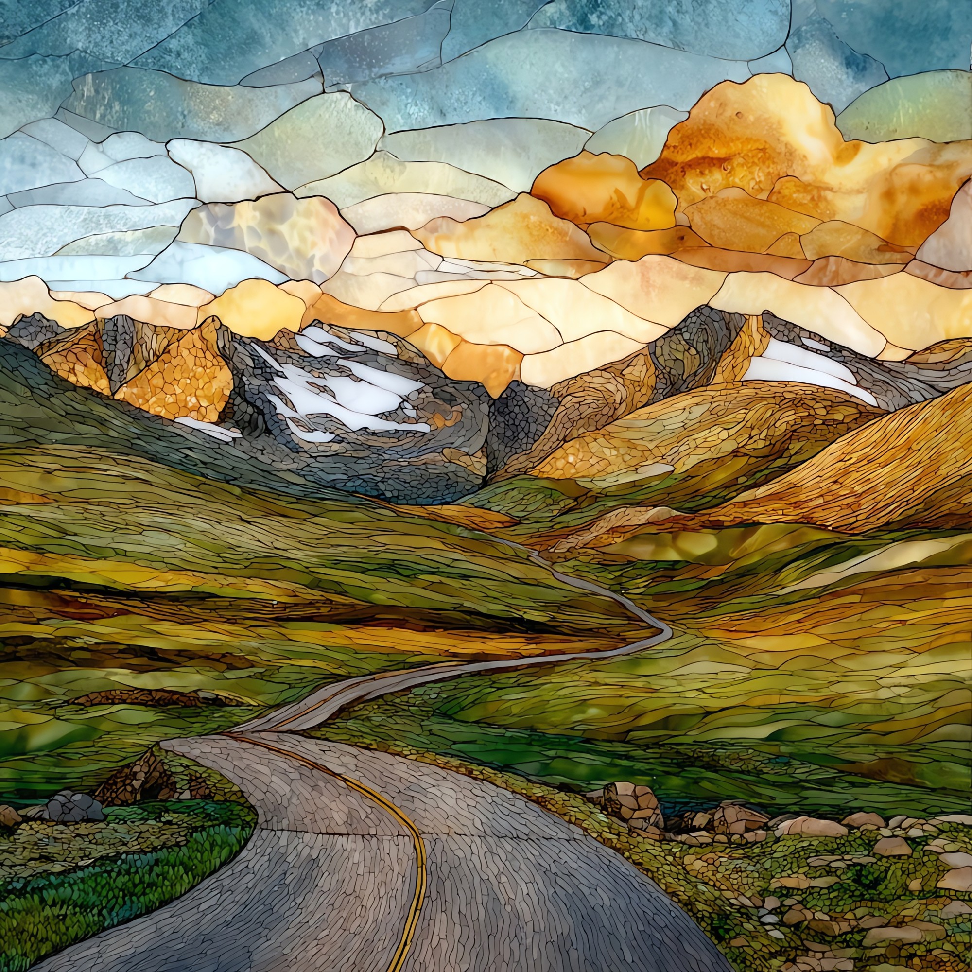
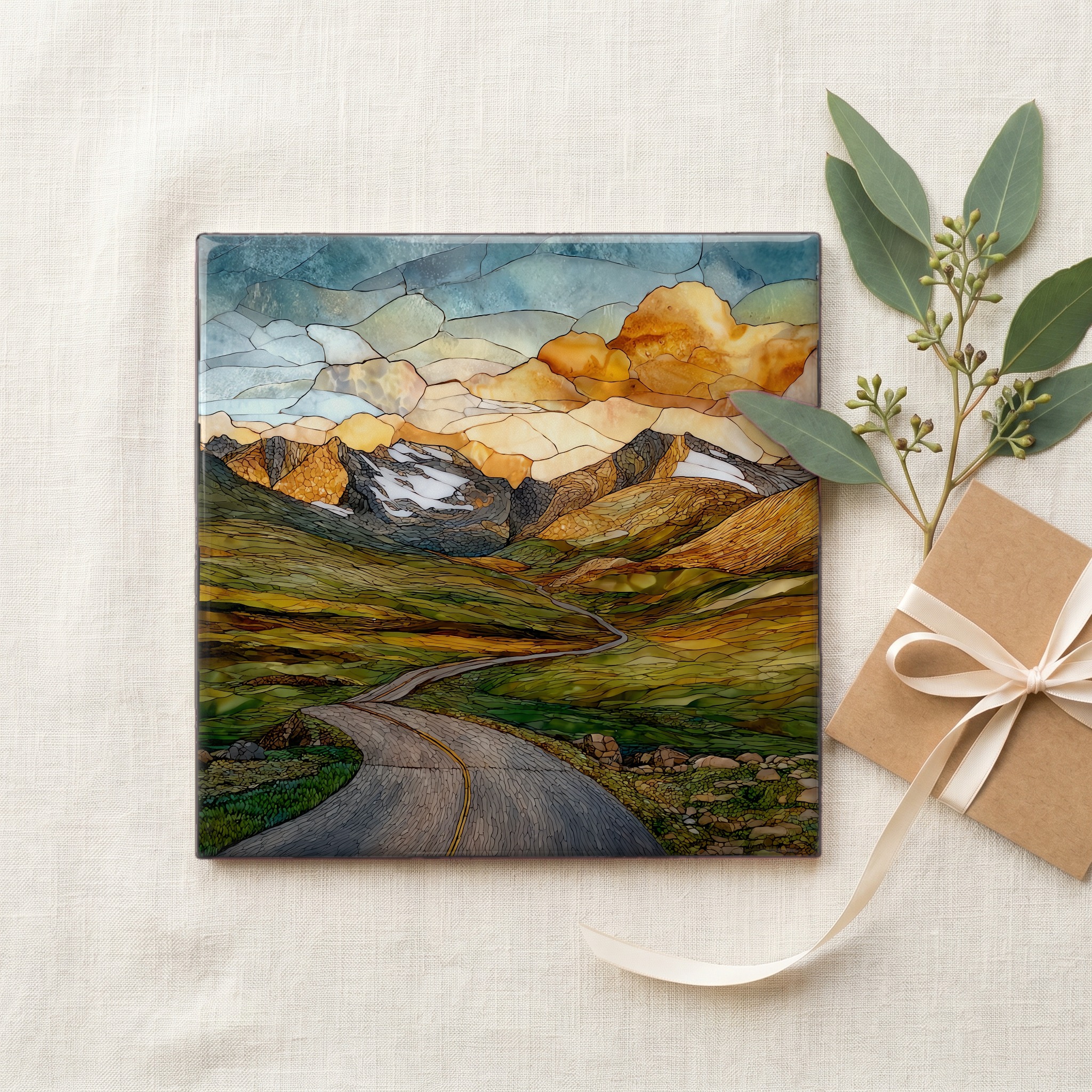
“Forty-eight miles of pavement across the top of Rocky Mountain National Park, climbing to 12,183 feet at the summit. It is the highest continuous paved road in North America. Eight of those miles run through alpine tundra, country above where any tree can grow. Pull-offs at Rainbow Curve and Forest Canyon. The Ute crossed this ridge for centuries before the road existed; their stone cairns still mark the older route over Forest Canyon Pass. Closed by snow from late October until Memorial Day, when crews dig out drifts that can stand twenty-five feet deep.
Trail Ridge Road Rocky Mountain National Park Ceramic Art Tile, on ceramic.
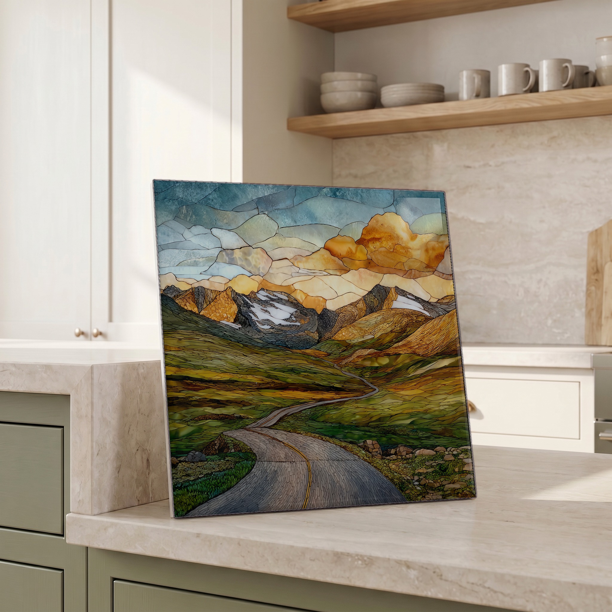
Each tile is finished by hand in our Knoxville studio. Artwork is slowly infused into the ceramic surface under high heat and pressure, and rests beneath a thin glossy finish. The colour lives in the surface, not on top of it.
Pick any four 4-inch tiles — National Parks you've been to, a Smokies set, the four seasons of one place. $ for a set of , cork-backed, ready to live on the table.
Each tile ships in a kraft box, tied with cream ribbon, with a handwritten note from the studio if you'd like to add one.

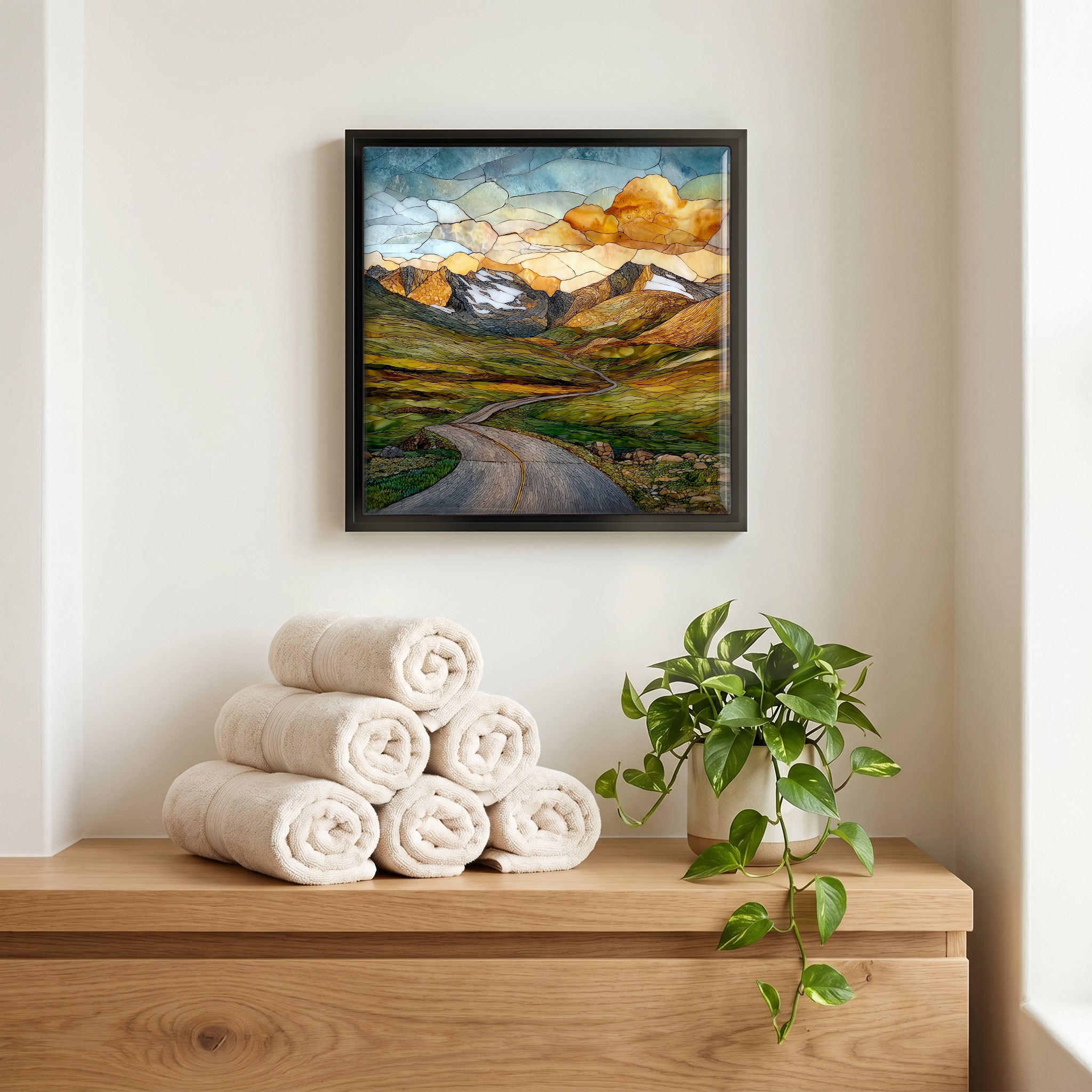
Three or five different vistas, hung together — a chapter of places you've been, or want to go.
The place, in three passes.
Trail Ridge Road is the forty-eight-mile stretch of U.S. Highway 34 that crosses Rocky Mountain National Park in northern Colorado, climbing from Estes Park in the east to Grand Lake in the west. The road tops out at 12,183 feet near Gore Range Overlook, making it the highest continuous paved road in North America. Eleven miles sit above 11,000 feet; four miles never drop below 12,000. The route crosses the Continental Divide at Milner Pass, elevation 10,755 feet. The Alpine Visitor Center, perched at 11,796 feet at Fall River Pass, is the highest visitor center in the National Park System. Built between 1929 and 1938, the road follows a ridgeline used for generations by the Ute and Arapaho.
Above 11,400 feet the trees end and the country opens into alpine tundra. Eight miles of Trail Ridge Road run through this band, a treeless landscape of cushion plants, lichen-crusted granite, and grasses that anchor against winds the National Park Service has measured past 150 miles per hour. Marmots and pikas keep house under the boulders; bighorn sheep work the slopes off Rainbow Curve. The plants here grow on a timescale most ridges do not. A cushion pink less than four inches across may be two centuries old. The Tundra Communities Trail, a half-mile paved walk near the high point, threads through this country at 12,110 feet. The first frost can arrive in any month of the year.
The road opens around Memorial Day weekend and closes with the first major October snowstorm, a window of roughly five months and often shorter. Park crews begin plowing in mid-April, working from both ends through drifts that can stand twenty-five feet deep on the wetter western side. July and August carry the strongest afternoon storms, which build over the Continental Divide most days by two o'clock and can drop hail on the high passes within minutes. The wildflower bloom runs late June through July at lower elevations and through August on the tundra, where the growing season compresses into about ten weeks. Aspens turn gold the third week of September on the lower stretches. Sunset light on the Mummy Range, seen from Many Parks Curve, holds for about twenty minutes.