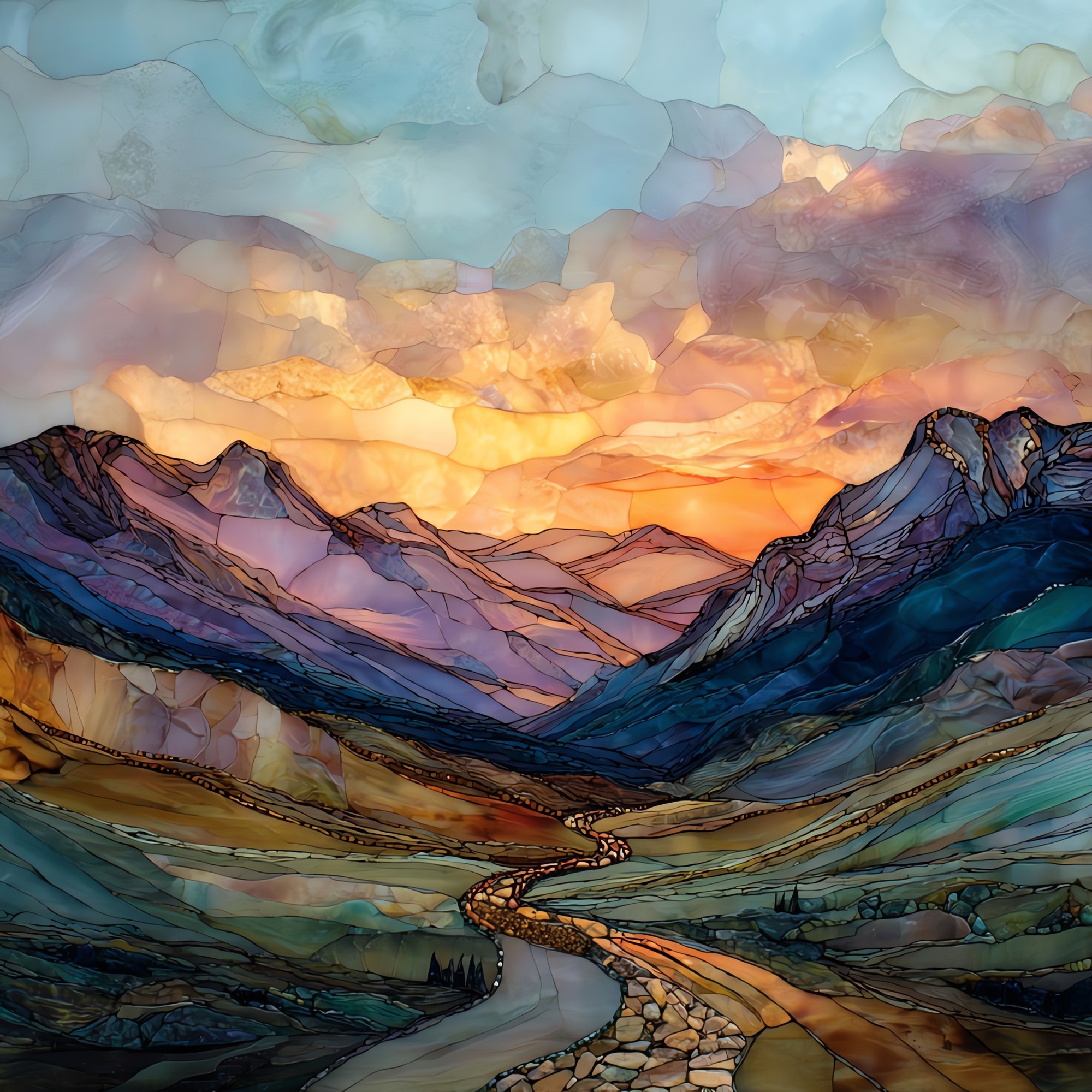
Top of the Rockies Byway Sawatch Range Ceramic Art Tile
— — where the road climbs above the trees and stays.
Not only on a wall.


“South from Minturn over Tennessee Pass, down into Leadville, then on past Twin Lakes. A spur climbs west over Independence Pass to Aspen. About seventy-five miles along the eastern foot of the Sawatch Range. Mount Elbert is here, and Mount Massive. Fifteen of Colorado's fifty-four fourteeners stand within view of the road. Leadville sits at the high point of any incorporated town in North America. Independence Pass closes in late October; the elk drift down to the valley. There are pull-offs where you can stop the car and watch a whole range of mountains hold the sky.
Top of the Rockies Byway Sawatch Range Ceramic Art Tile, on ceramic.
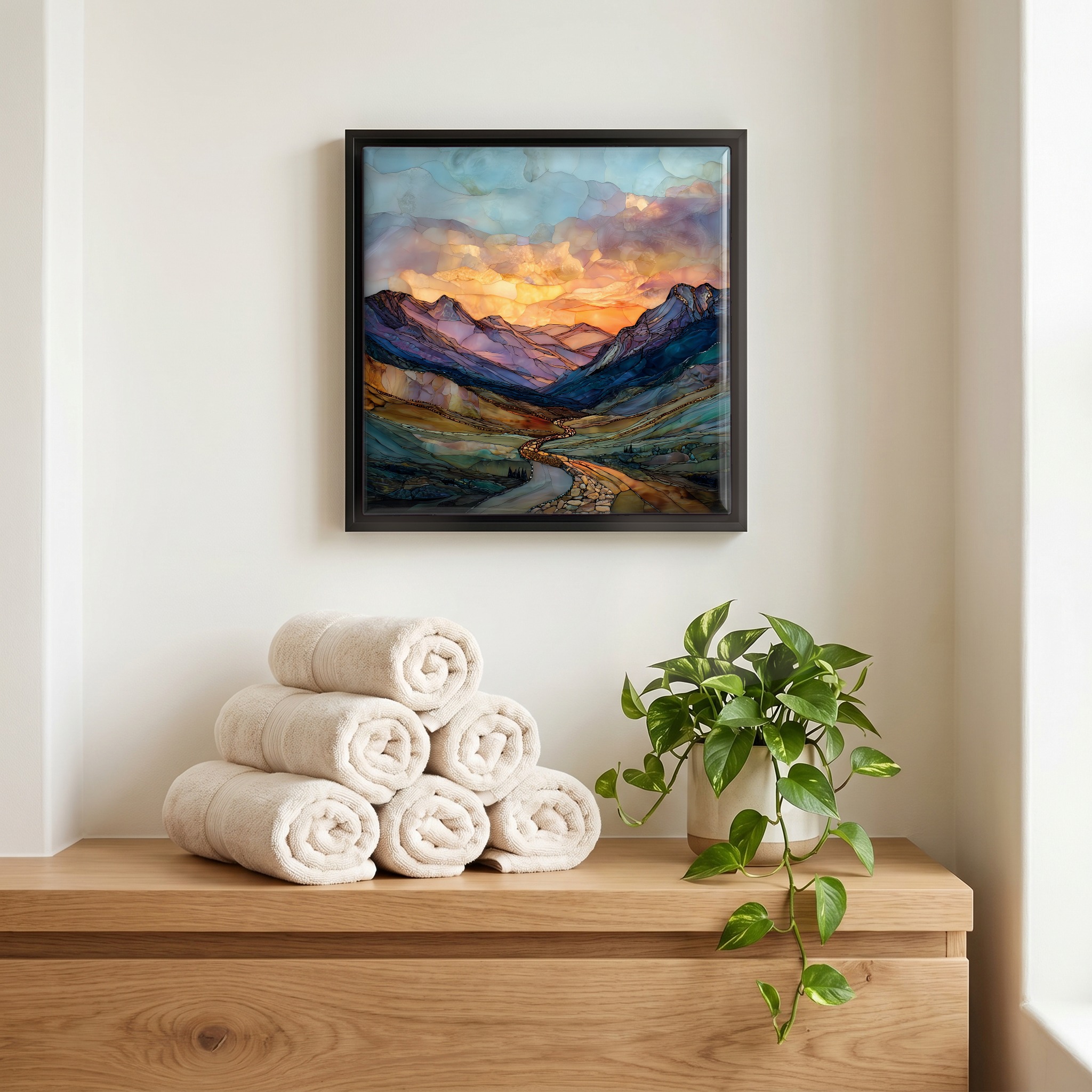
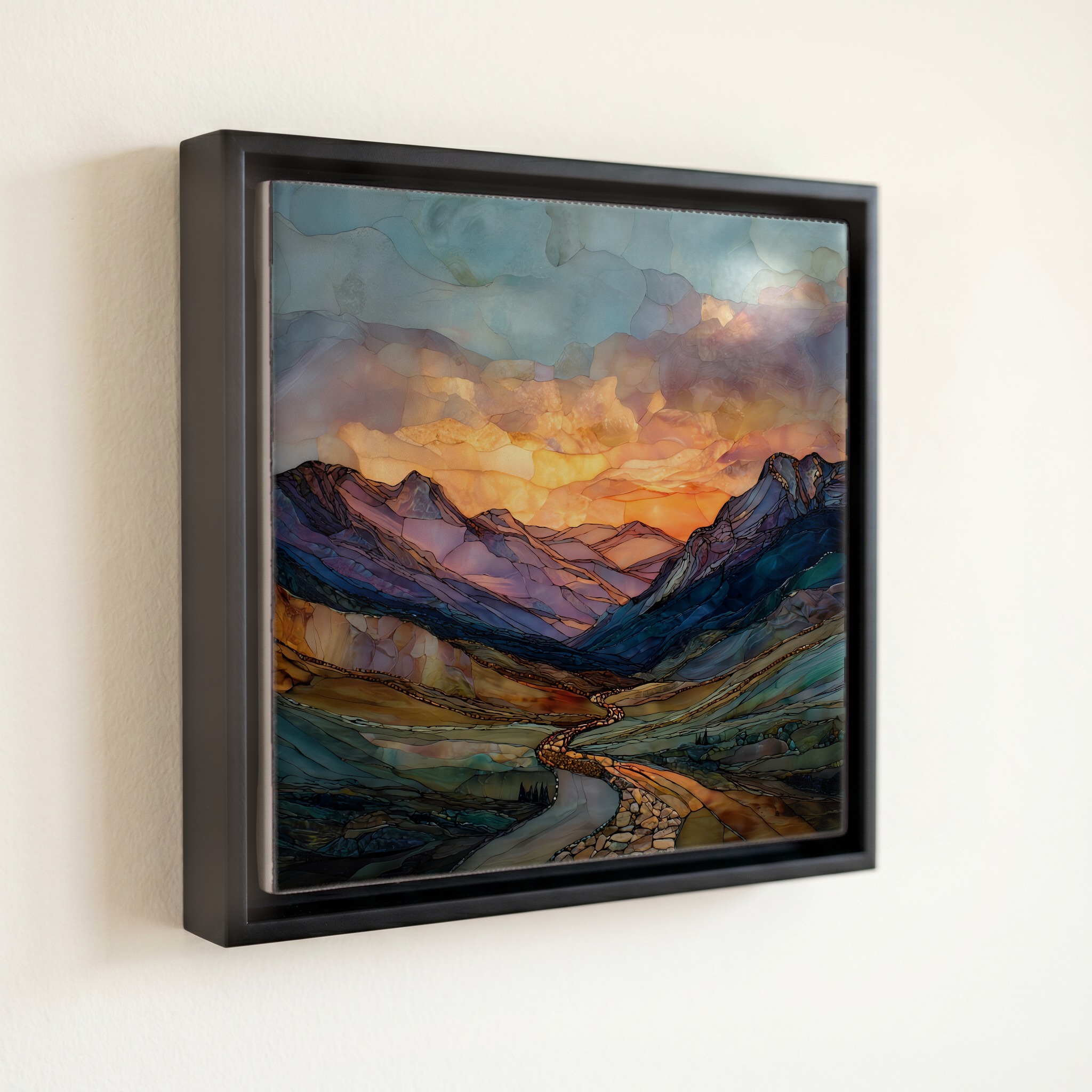
Each tile is finished by hand in our Knoxville studio. Artwork is slowly infused into the ceramic surface under high heat and pressure, and rests beneath a thin glossy finish. The colour lives in the surface, not on top of it.
Pick any four 4-inch tiles — National Parks you've been to, a Smokies set, the four seasons of one place. $ for a set of , cork-backed, ready to live on the table.

Each tile ships in a kraft box, tied with cream ribbon, with a handwritten note from the studio if you'd like to add one.

Three or five different vistas, hung together — a chapter of places you've been, or want to go.
The place, in three passes.
The Top of the Rockies Byway runs about 75 miles through central Colorado, tracing the eastern foot of the Sawatch Range and crossing the Continental Divide. The main route follows U.S. Route 24 from Minturn south through Leadville to Granite, with two spurs: Colorado 91 north over Fremont Pass to Copper Mountain, and Colorado 82 west over Independence Pass to Aspen. The Federal Highway Administration has designated the route a National Scenic Byway. It crosses Lake, Pitkin, Eagle, and Summit counties and threads portions of the San Isabel and White River National Forests.
The Sawatch Range holds fifteen of Colorado's fifty-four peaks above 14,000 feet, including Mount Elbert at 14,440 feet, the highest summit in the Rocky Mountains, and Mount Massive at 14,428 feet. Leadville sits at 10,152 feet, the highest incorporated city in North America. Independence Pass reaches 12,095 feet, well above timberline; the air at that elevation holds roughly two-thirds the oxygen of sea level, and unacclimated drivers often feel it as a thickness in the head and a slower breath. Forest gives way to alpine tundra above the tree line, which in this part of the Rockies sits near 11,500 feet.
Independence Pass, the Colorado 82 spur over the Continental Divide between Twin Lakes and Aspen, is closed by the Colorado Department of Transportation each year from roughly late October until late May. The main U.S. 24 route stays open year-round but can require chains during winter storms. Late June to mid-September is the dependable window for the full byway, with wildflowers peaking in July around Twin Lakes and the aspen turning gold in late September. Afternoon thunderstorms build over the Sawatch on most summer days, usually clearing by sunset.