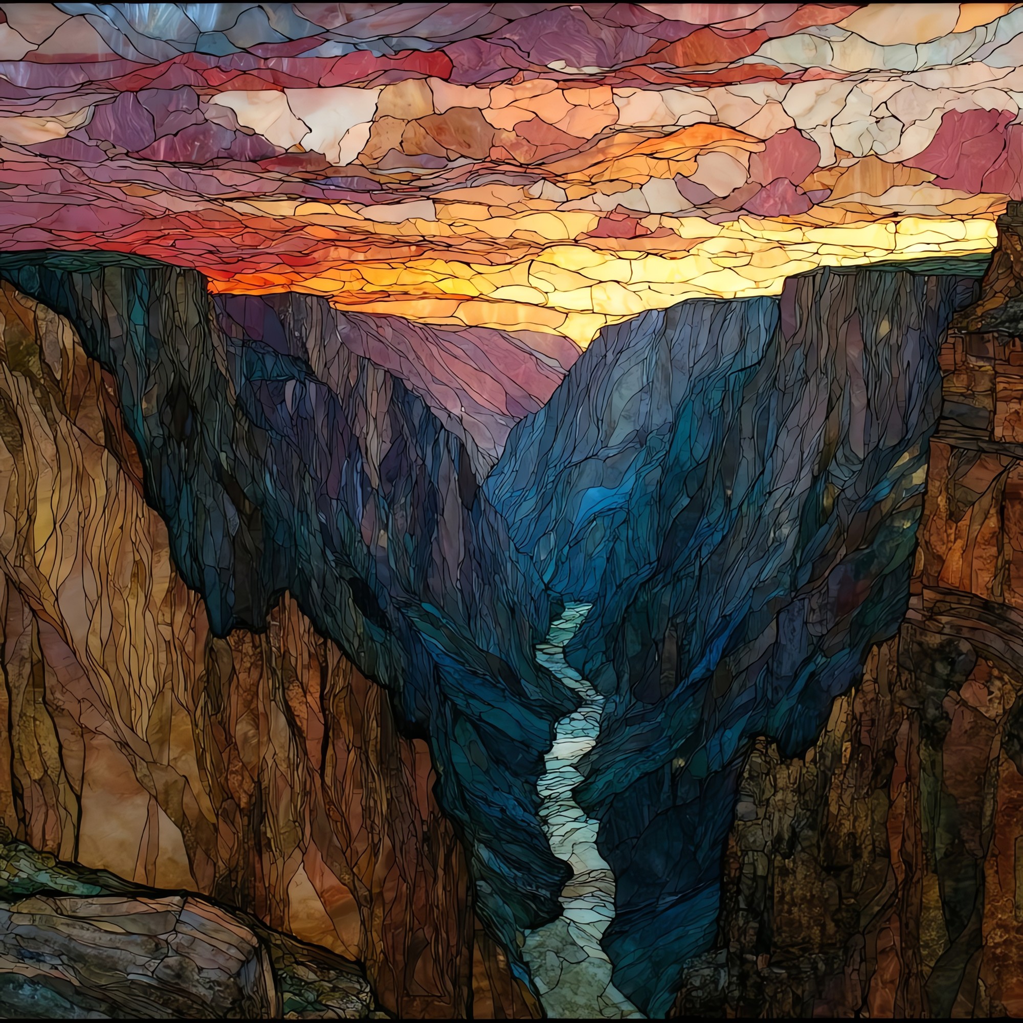
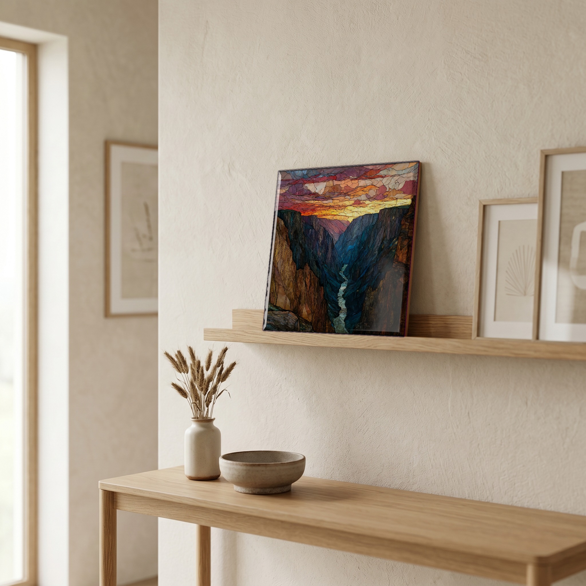
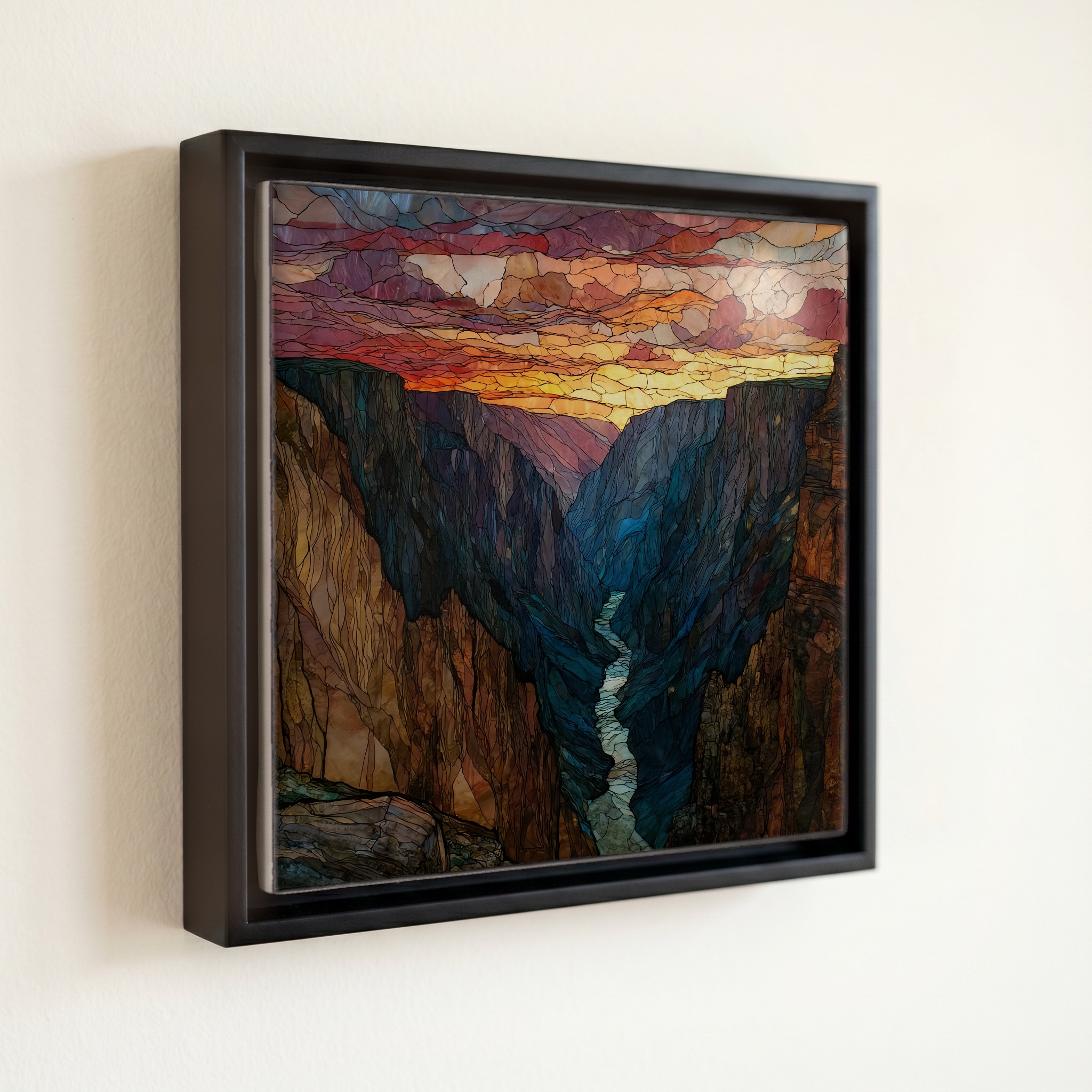
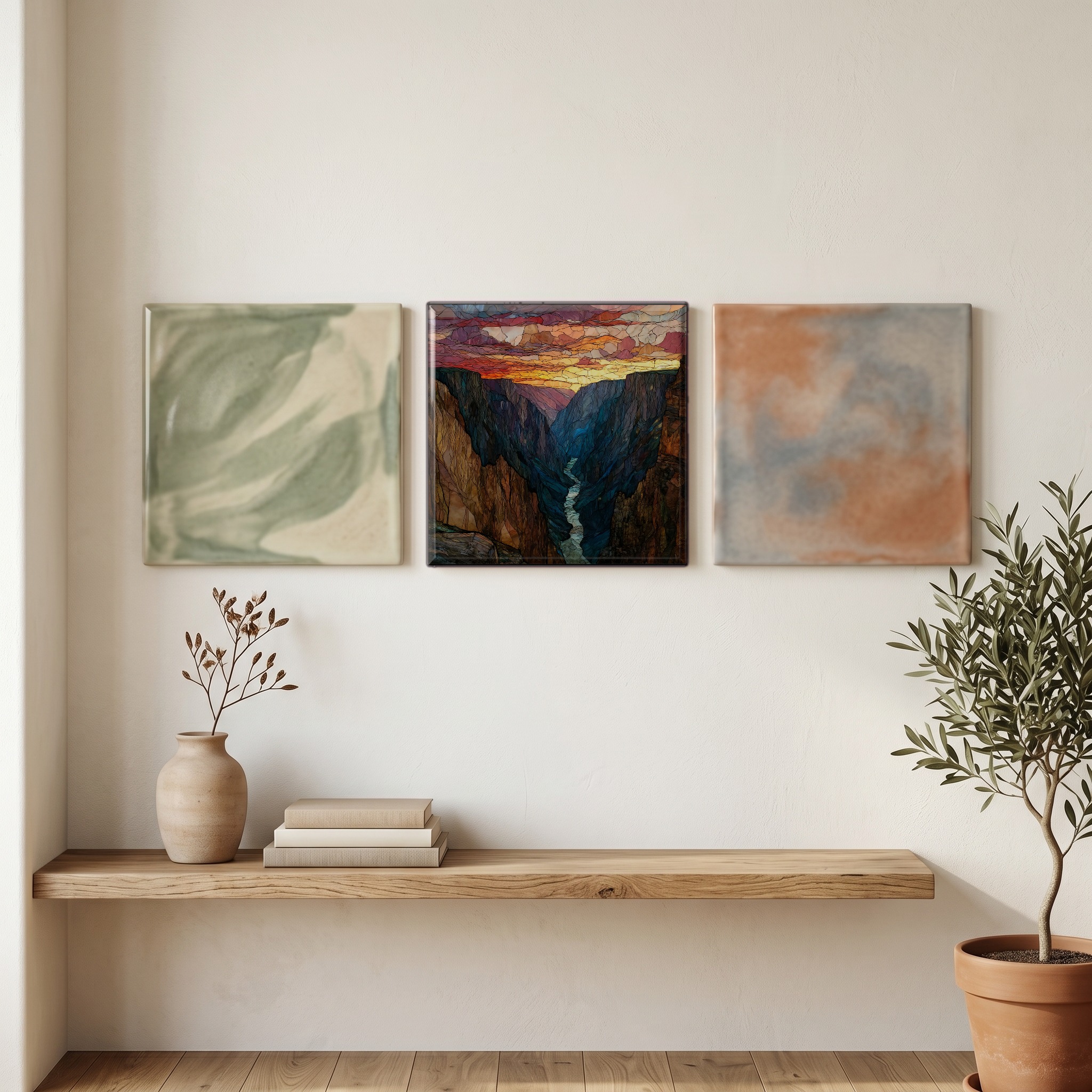
Sunset View Tomichi Point Black Canyon NP Ceramic Art Tile
— the canyon takes the dark first.
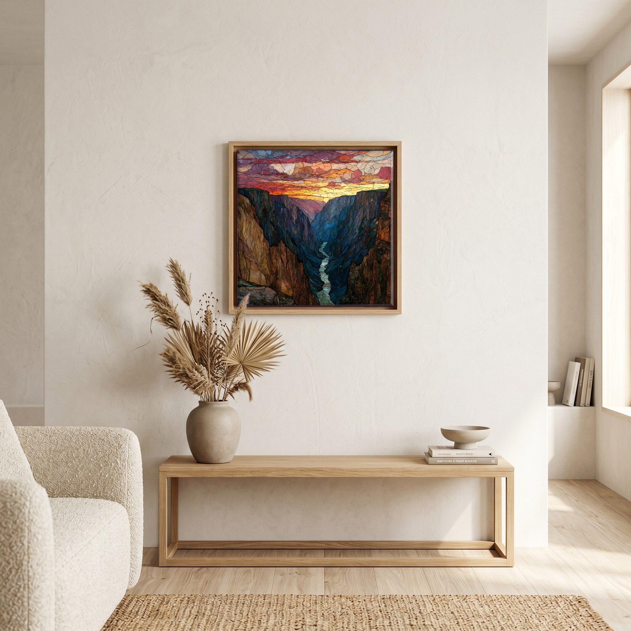
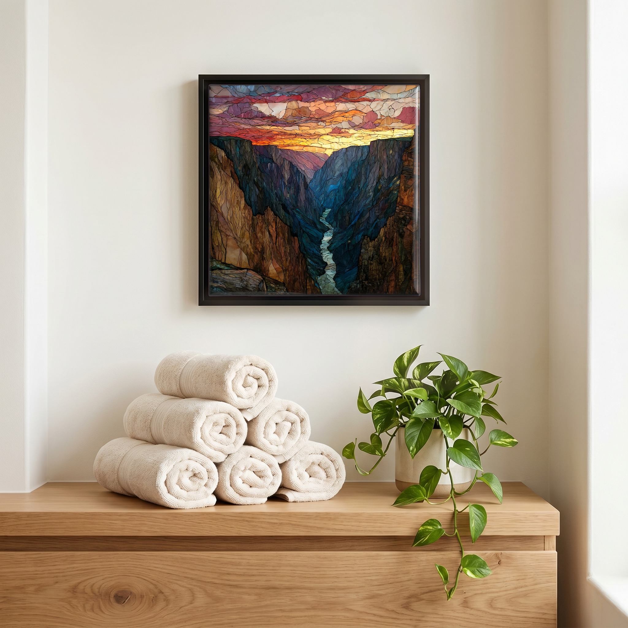
Not only on a wall.
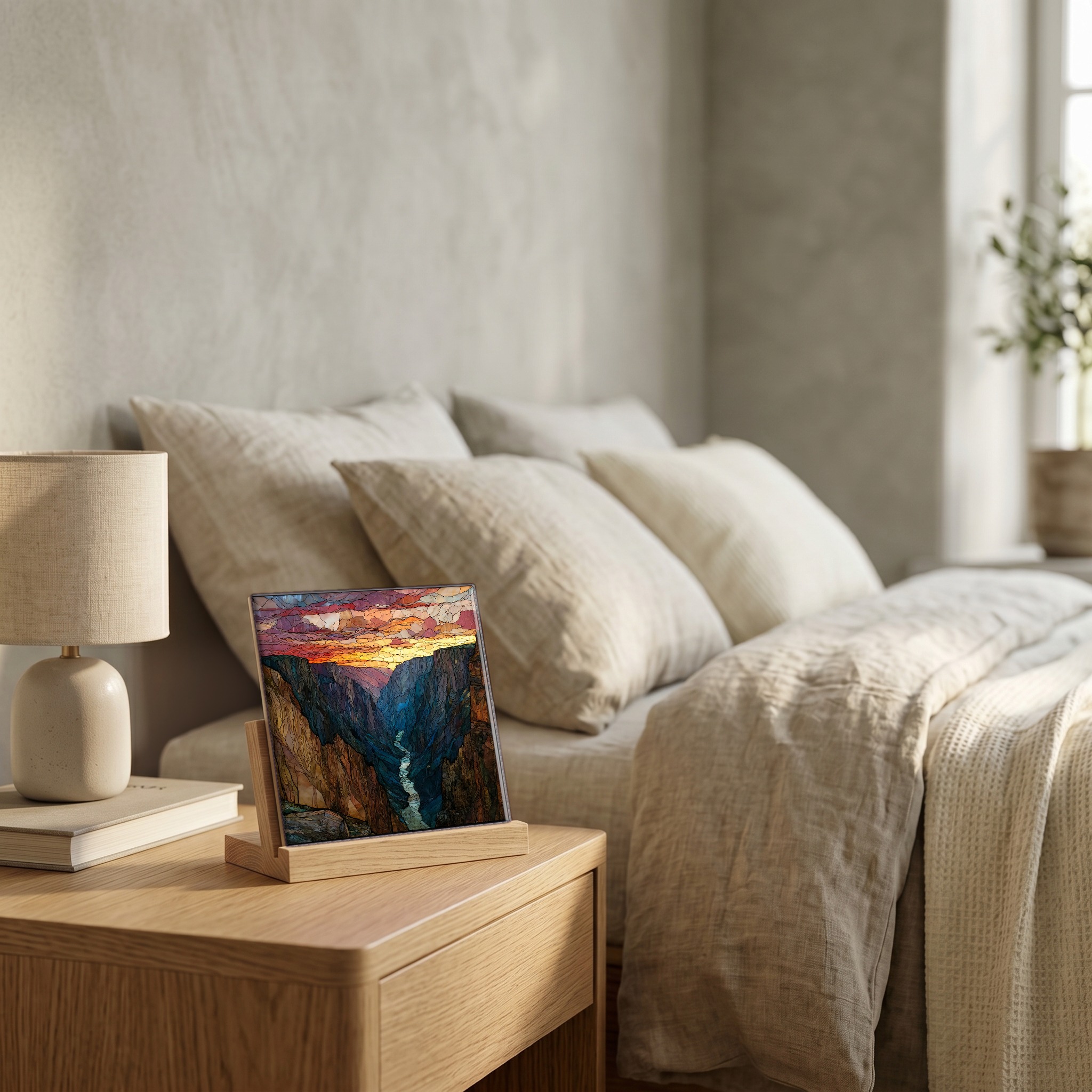
“Tomichi Point sits just past the visitor center on the South Rim of Black Canyon, the first overlook on the drive. It looks west, down the canyon, where the Gunnison River has cut through nearly two billion years of rock. At sunset the canyon goes into shadow long before the sky does. The walls are too steep and the gap too narrow for the last light to reach the floor. The river runs unseen below, and what is left to watch is the slow change in colour on the rim across the way.
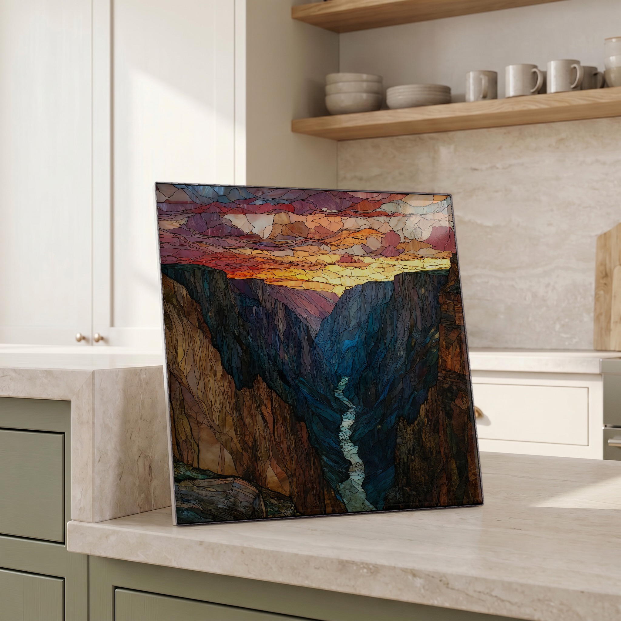
Sunset View Tomichi Point Black Canyon NP Ceramic Art Tile, on ceramic.
Each tile is finished by hand in our Knoxville studio. Artwork is slowly infused into the ceramic surface under high heat and pressure, and rests beneath a thin glossy finish. The colour lives in the surface, not on top of it.
Pick any four 4-inch tiles — National Parks you've been to, a Smokies set, the four seasons of one place. $ for a set of , cork-backed, ready to live on the table.
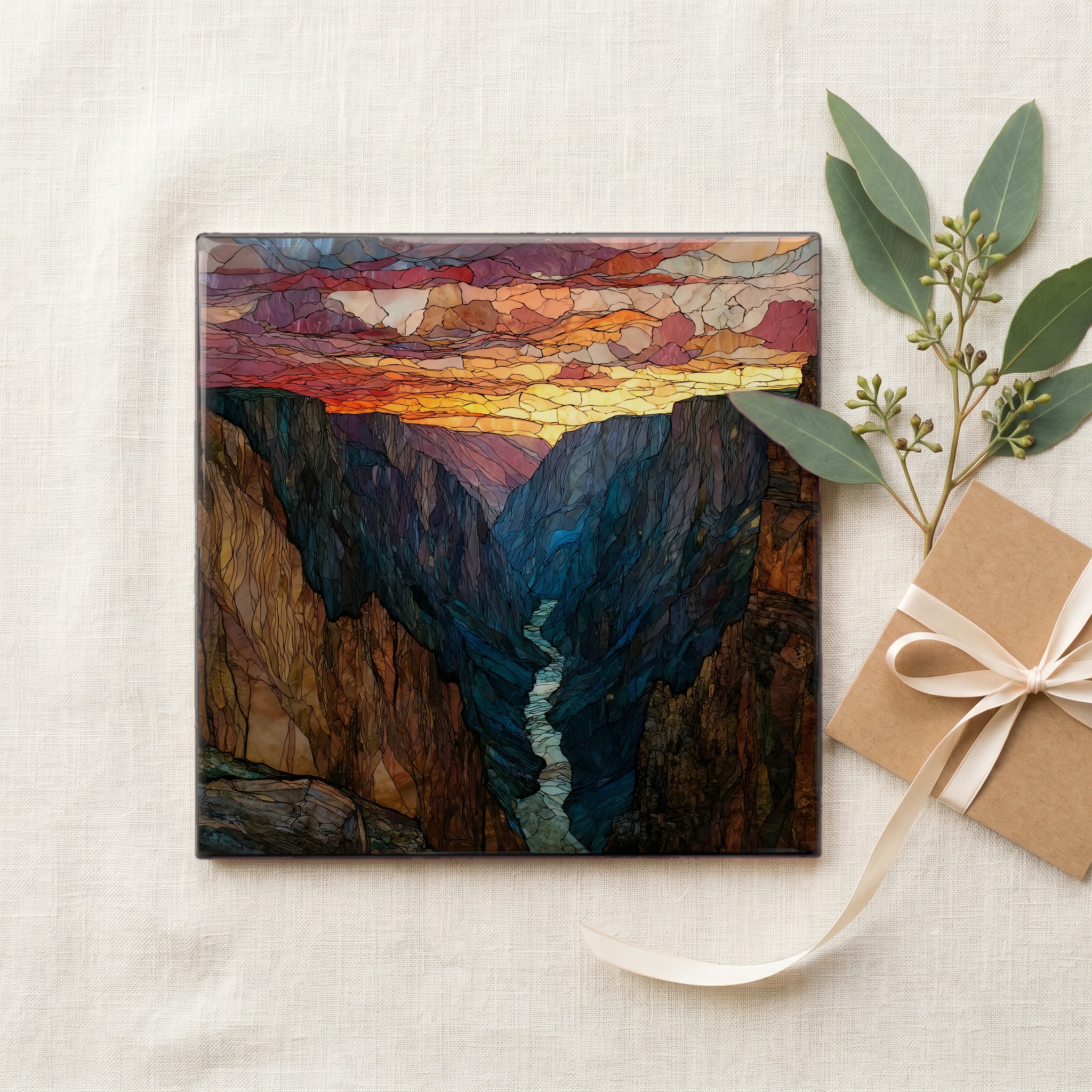
Each tile ships in a kraft box, tied with cream ribbon, with a handwritten note from the studio if you'd like to add one.
Three or five different vistas, hung together — a chapter of places you've been, or want to go.
The place, in three passes.
Tomichi Point is the first scenic overlook on South Rim Drive in Black Canyon of the Gunnison National Park, near Montrose, Colorado. The South Rim sits at roughly 8,300 feet (2,530 m) above sea level. The canyon below was carved by the Gunnison River through Precambrian gneiss and schist among the oldest exposed rock in North America, dated to around 1.7 billion years [Wikipedia]. The area was first protected as a National Monument in 1933 and redesignated a National Park by an act of Congress in 1999 [National Park Service]. The point's short paved spur opens to a wide view across the gorge and a long line of sight down the canyon.
Black Canyon owes its name to its own depth. The canyon's narrowest rim-to-rim span is about 1,100 feet across, and its deepest point drops 2,722 feet (829 m) to the Gunnison River below [National Park Service]. The walls are steep enough and the gap narrow enough that direct sunlight reaches some parts of the inner canyon for only a handful of minutes a day. From Tomichi Point at the end of the day, the shadow rises faster than the sun falls. The canyon goes dark while the sky overhead still holds colour, and the last light catches only the tops of the cliffs opposite.
South Rim Drive opens to vehicles in late spring and closes for the winter in November, when the road beyond the visitor center area is gated to wheeled traffic and used by skiers and snowshoers instead [National Park Service]. The park is reached from US 50 east of Montrose by way of Colorado 347. Tomichi Point is the first stop past the South Rim Visitor Center, with a short paved path from the parking area and no fee beyond standard park admission. For sunset the South Rim is the right side of the canyon to be on, since the closing light moves slowly across the rim opposite.