San Juan Skyway loop San Juans Ceramic Art Tile
— — the week the high passes turn gold.
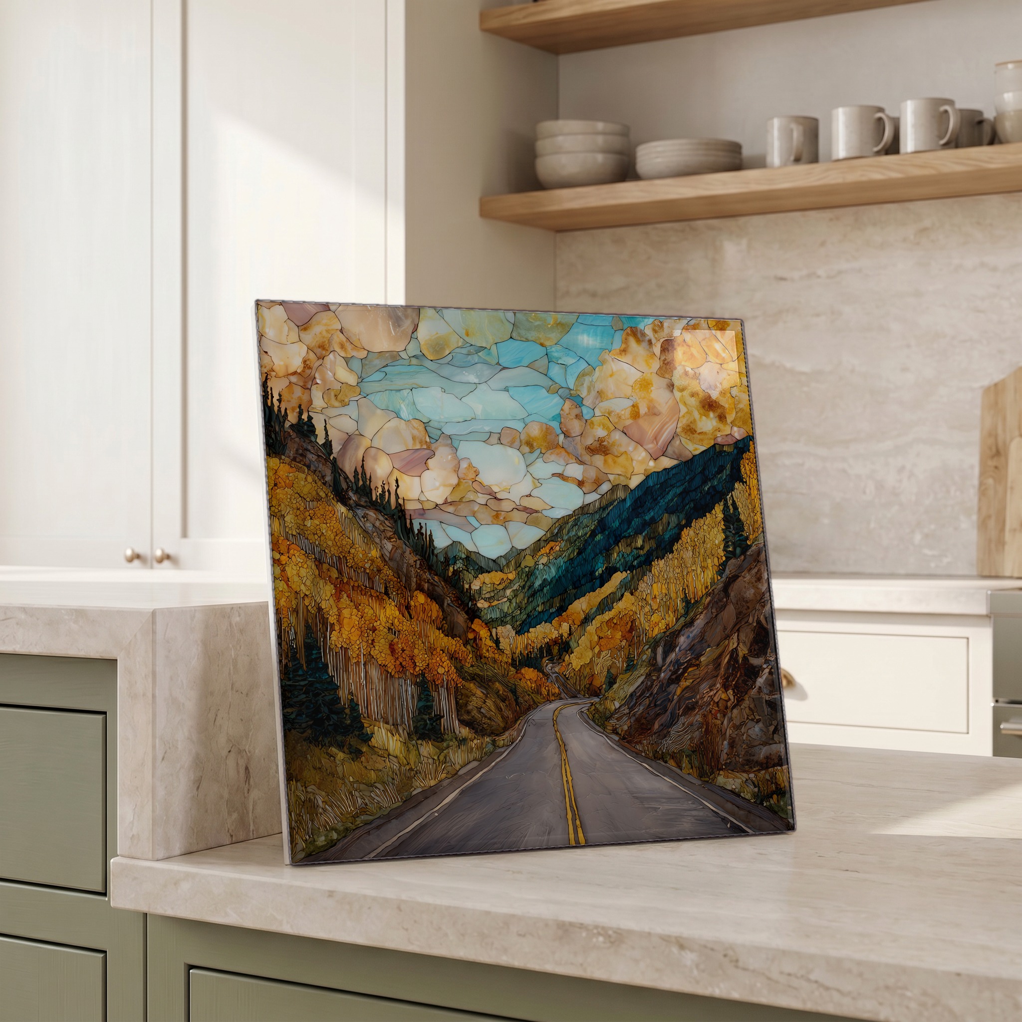
Not only on a wall.


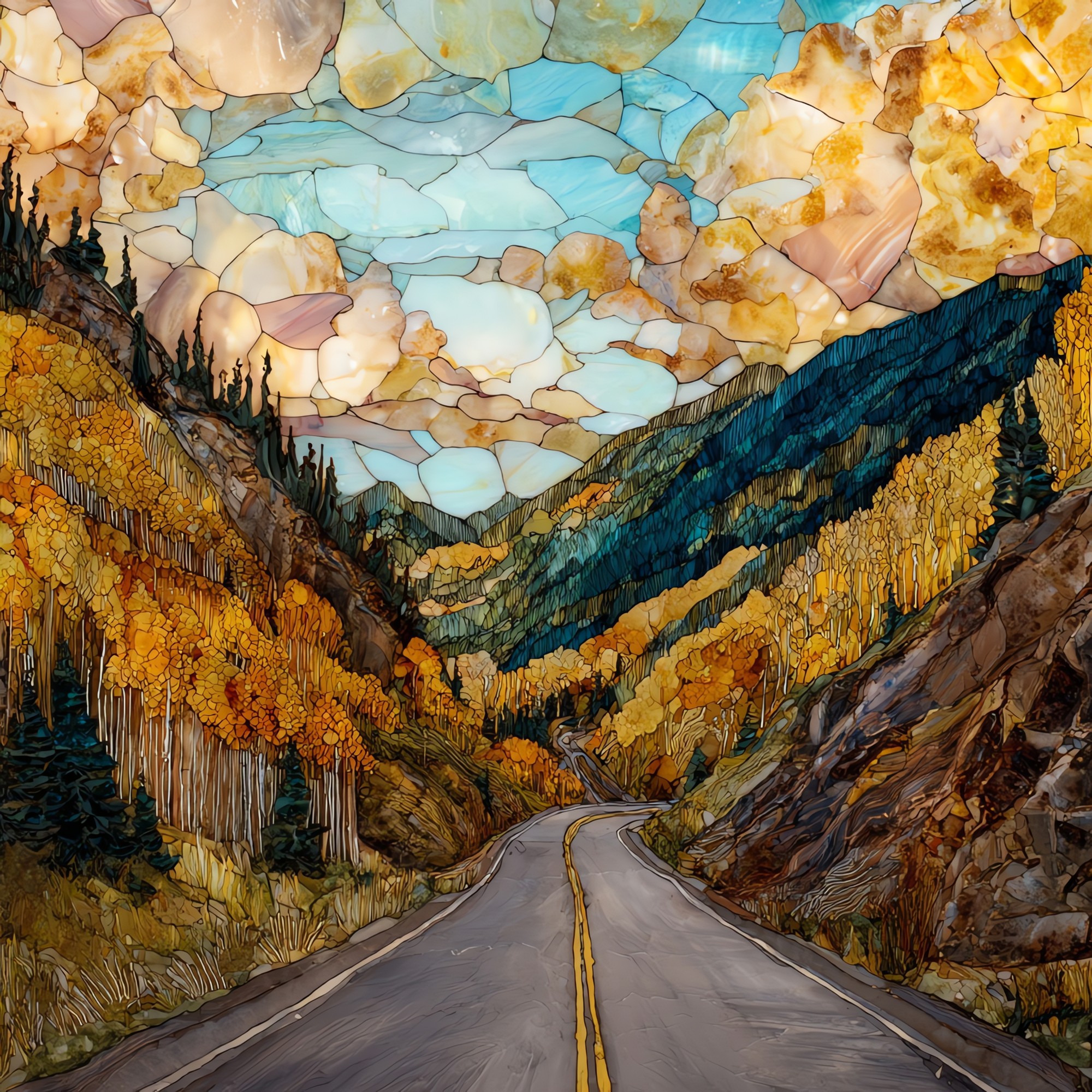
“A loop through southwestern Colorado, connecting Durango, Silverton, Ouray, Ridgway, Telluride, and Dolores. The middle stretch, between Silverton and Ouray, is the Million Dollar Highway: switchbacks above the Uncompahgre Gorge, no guardrails on the cliff side, the kind of road locals drive slowly even in summer. In the last week of September the aspens turn gold across all four passes and the basins behind Telluride go red and orange. The high country holds the colour for about a week, sometimes less.
San Juan Skyway loop San Juans Ceramic Art Tile, on ceramic.
Each tile is finished by hand in our Knoxville studio. Artwork is slowly infused into the ceramic surface under high heat and pressure, and rests beneath a thin glossy finish. The colour lives in the surface, not on top of it.
Pick any four 4-inch tiles — National Parks you've been to, a Smokies set, the four seasons of one place. $ for a set of , cork-backed, ready to live on the table.

Each tile ships in a kraft box, tied with cream ribbon, with a handwritten note from the studio if you'd like to add one.

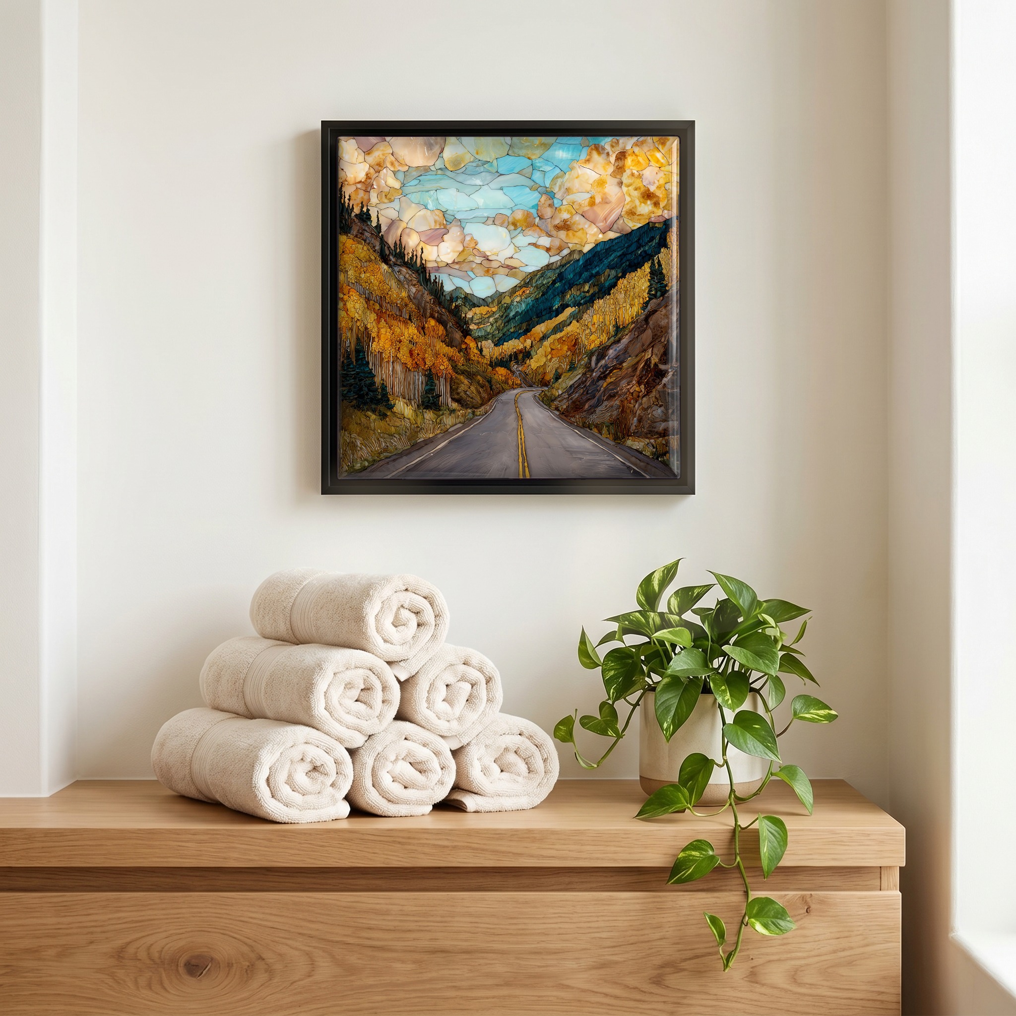
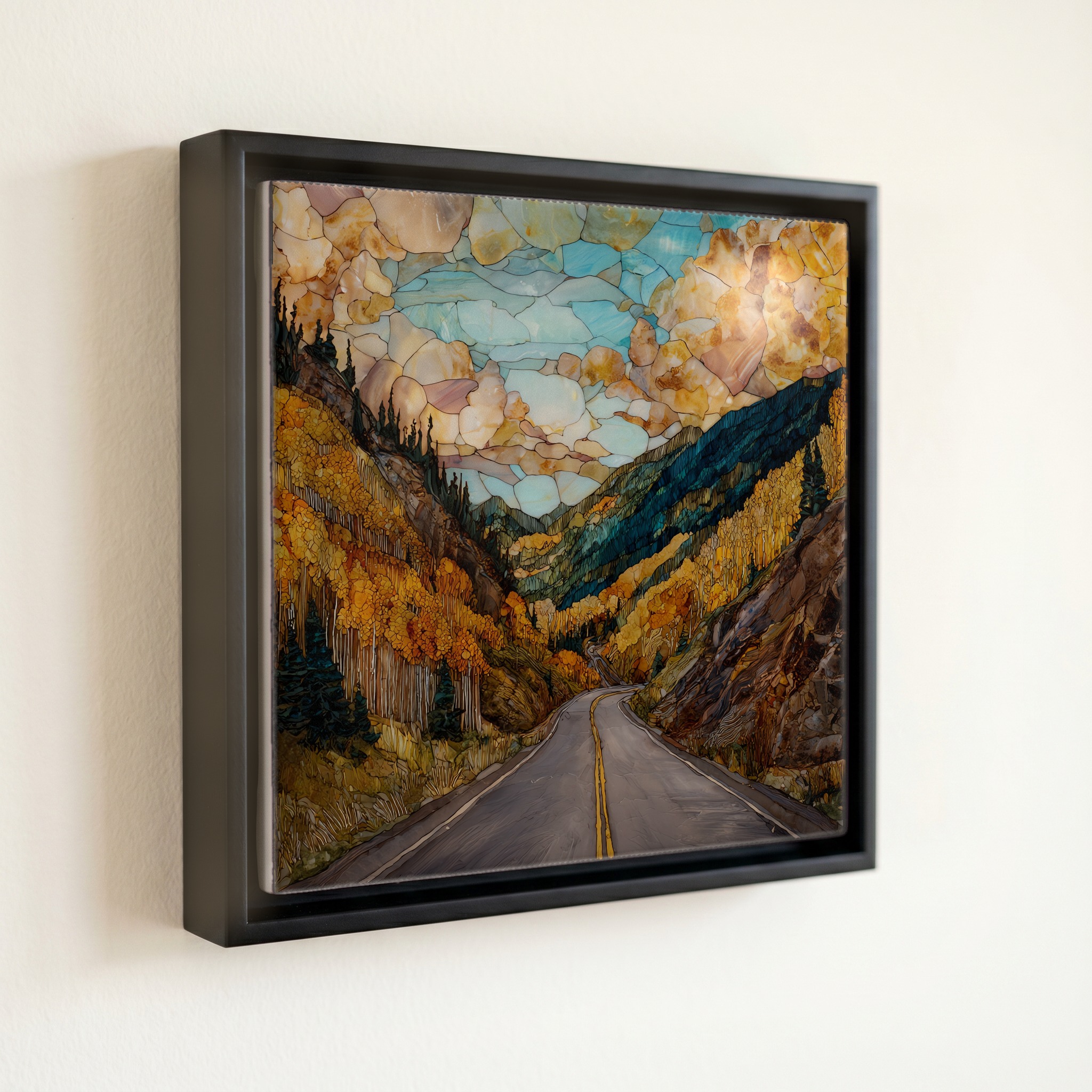
Three or five different vistas, hung together — a chapter of places you've been, or want to go.
The place, in three passes.
The San Juan Skyway is a 233-mile loop through the San Juan Mountains of southwestern Colorado, designated a National Scenic Byway in 1988 and an All-American Road in 1996. The route connects six towns: Durango, Silverton, Ouray, Ridgway, Telluride, and Dolores. It crosses four passes above 10,000 feet: Coal Bank, Molas, Red Mountain, and Lizard Head. The stretch of US 550 between Silverton and Ouray, the Million Dollar Highway, climbs Red Mountain Pass at 11,018 feet, with no guardrails along the Uncompahgre Gorge. The loop passes through the San Juan and Uncompahgre National Forests, with Mesa Verde National Park lying south of the route's western leg.
The aspens on the high passes turn in the last week of September and hold colour for about a week. The Lizard Head Pass meadows, the basins behind Telluride, and the slopes above Coal Bank go bright yellow first, with the lower-elevation Dolores River corridor turning roughly a week later. The road stays open through winter, but Red Mountain Pass is one of the most avalanche-prone stretches of road in the country, with CDOT chain-up laws routine from November through April. The summer months bring monsoon afternoons that build over the peaks by two o'clock and clear by sundown.
Driven without stops the loop takes about six hours, but the towns along it are why people slow down. Silverton sits at 9,318 feet at the head of the Animas River; Ouray a few thousand feet below in a box canyon ringed by waterfalls; Telluride at the closed end of a glacial valley. The Durango and Silverton Narrow Gauge Railroad, running since 1882, parallels the road's eastern leg between Durango and Silverton. Cell coverage drops in long stretches above Molas and Lizard Head, and gas stops are spaced by towns, not by miles. Most guidebooks recommend the clockwise direction from Durango so the cliff edge stays on the inside.