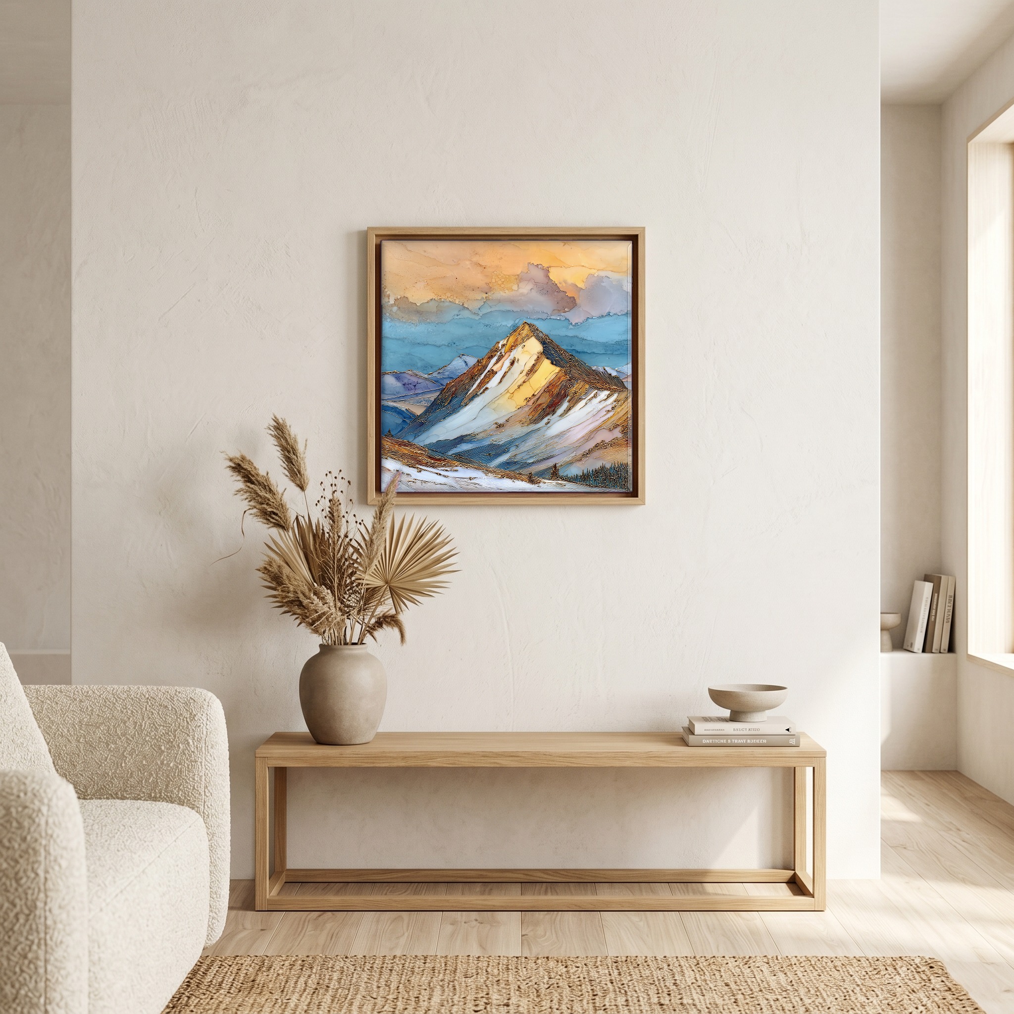
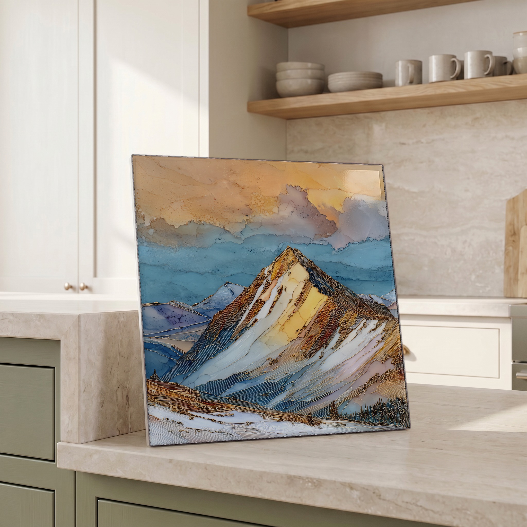
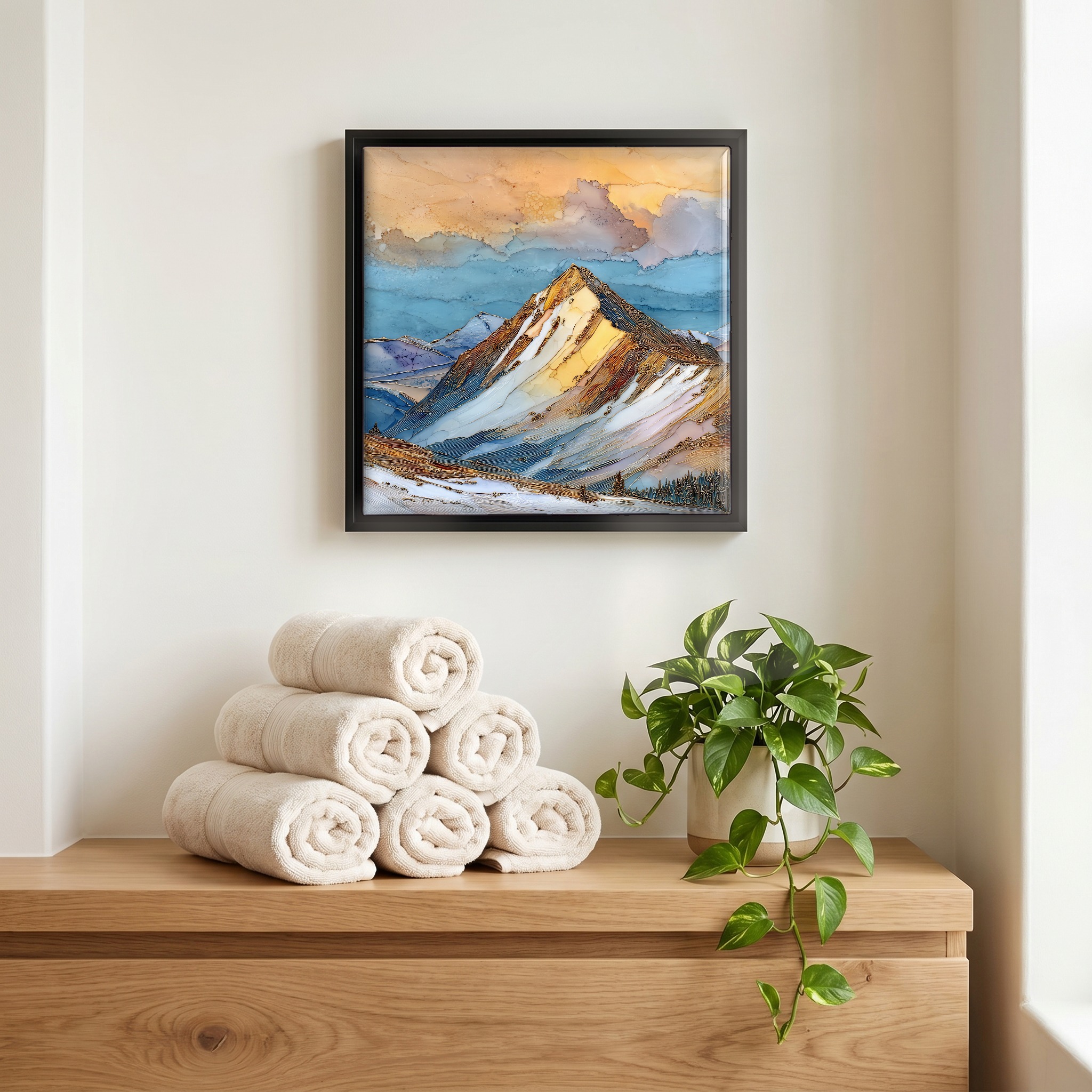
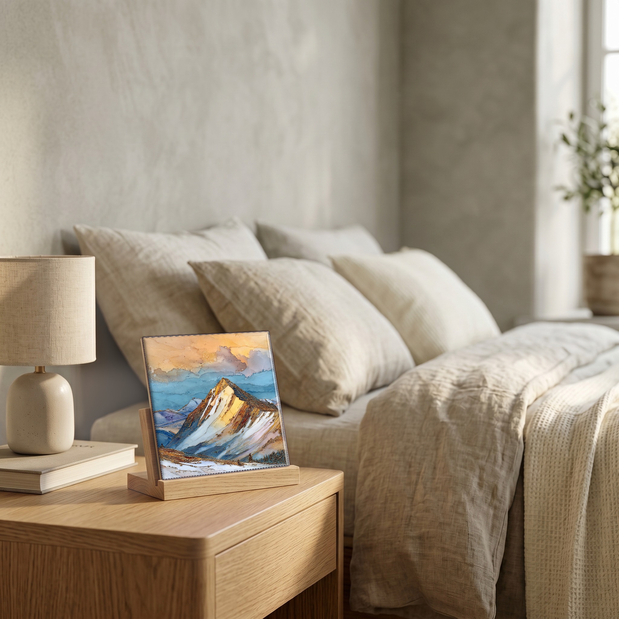
Quandary Peak in winter Tenmile Range Ceramic Art Tile
— the cold blue a peak keeps before dawn.
Not only on a wall.

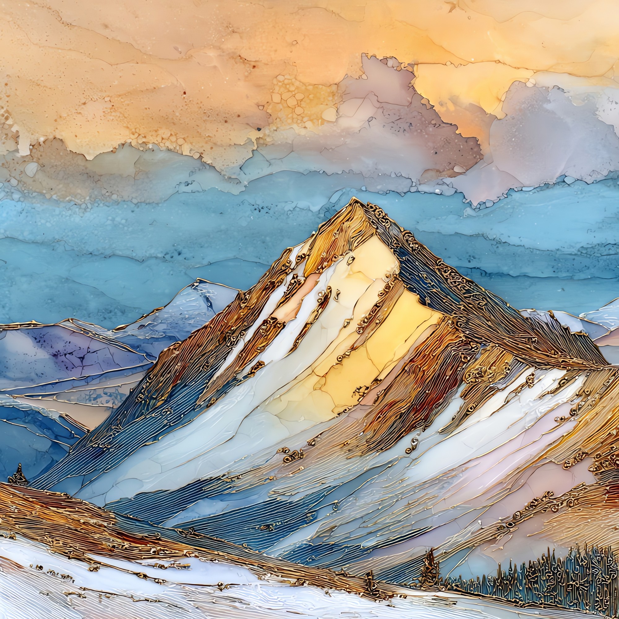
“The mountain is 14,265 feet, the highest in the Tenmile Range, a sharp ridge of peaks that runs north from Hoosier Pass past the Breckenridge ski area. In summer it's a Class 1 hike. In winter the east ridge holds its snow on the leeward side and scours bare on the windward, and the mountain goats stay up there through the cold months, watching from rocks that catch the late light. The trailhead opens off Blue Lakes Road. Most photographs are taken from the saddle; the best ones are taken from the truck, on the way back down.
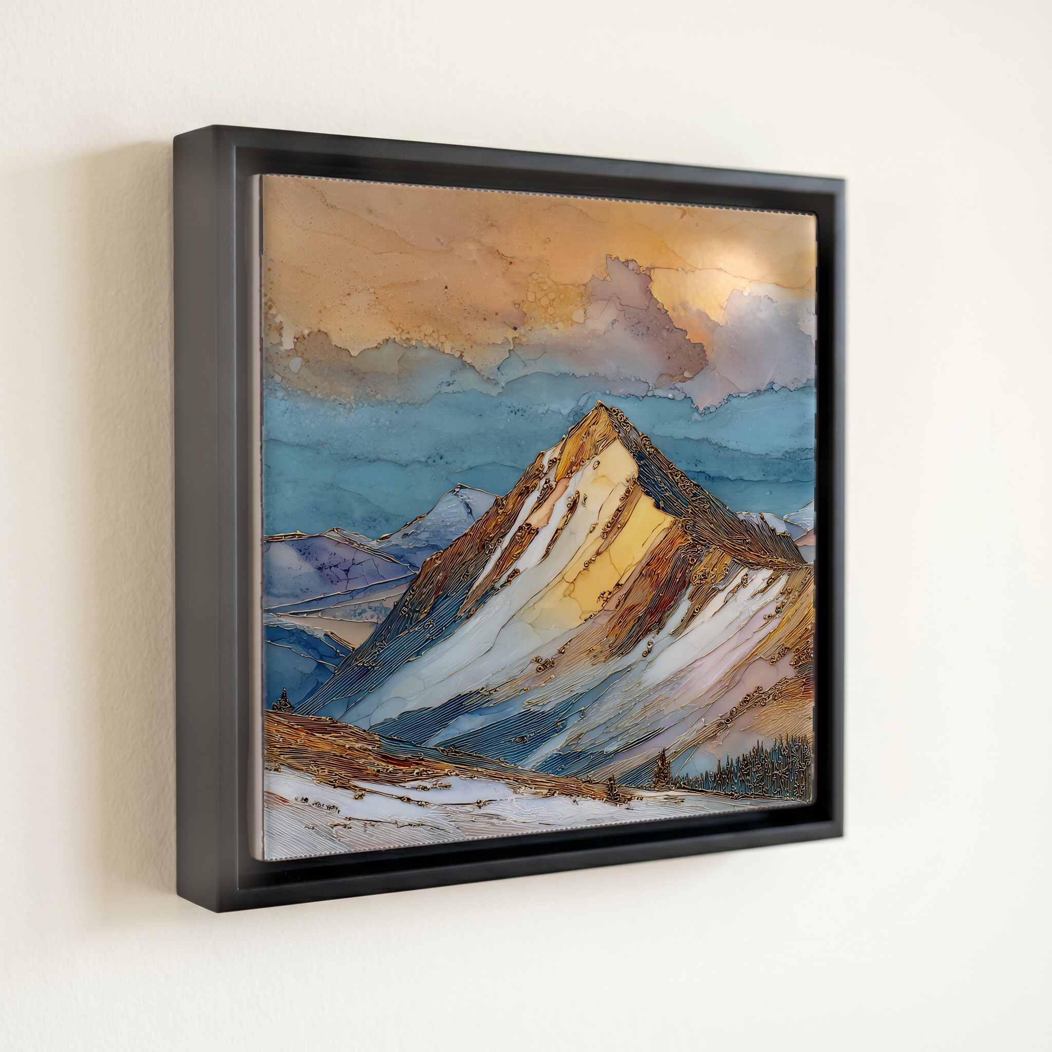
Quandary Peak in winter Tenmile Range Ceramic Art Tile, on ceramic.
Each tile is finished by hand in our Knoxville studio. Artwork is slowly infused into the ceramic surface under high heat and pressure, and rests beneath a thin glossy finish. The colour lives in the surface, not on top of it.
Pick any four 4-inch tiles — National Parks you've been to, a Smokies set, the four seasons of one place. $ for a set of , cork-backed, ready to live on the table.
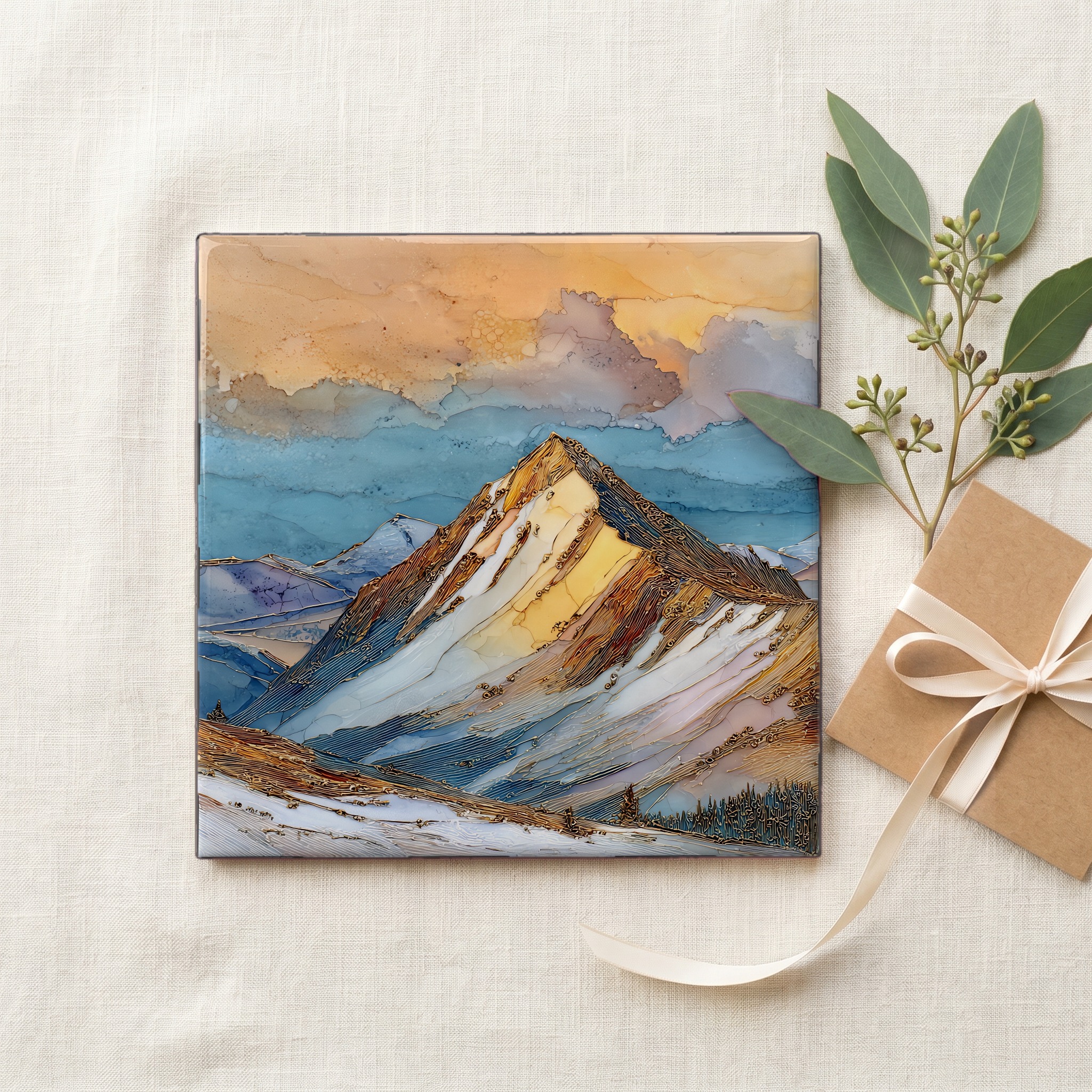
Each tile ships in a kraft box, tied with cream ribbon, with a handwritten note from the studio if you'd like to add one.
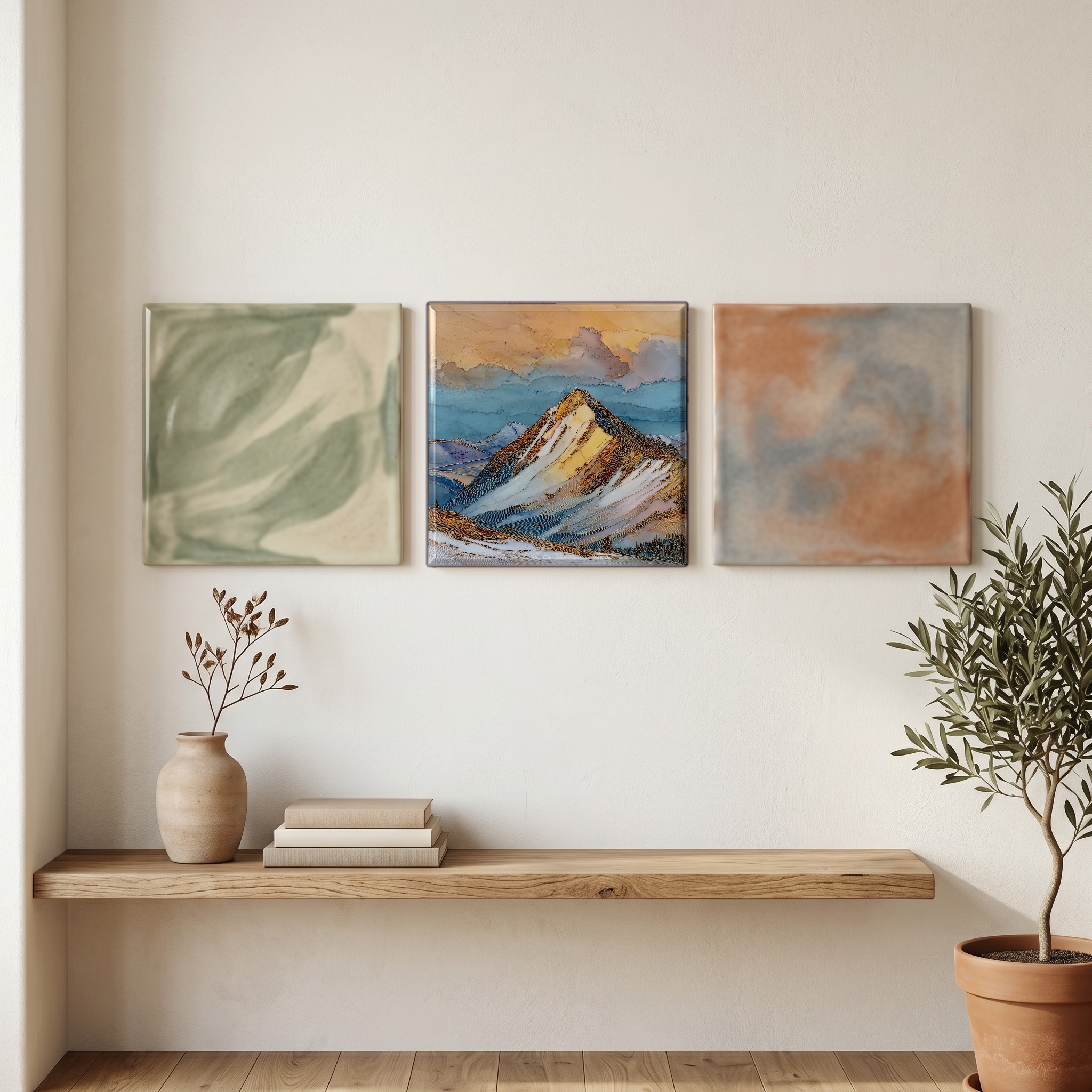
Three or five different vistas, hung together — a chapter of places you've been, or want to go.
The place, in three passes.
Quandary Peak rises to 14,265 feet, the highest summit in the Tenmile Range — a ten-mile span of the Rocky Mountains running north from Hoosier Pass through Summit County, Colorado. It sits roughly six miles south of Breckenridge, within the boundaries of the White River National Forest. The standard ascent follows the East Ridge from a trailhead on Blue Lakes Road, the same trail used in every season; in winter the same route demands avalanche awareness and serious cold-weather gear. The summit looks west across the Blue River valley toward the Gore Range and east toward the Mosquito Range.
Above 14,000 feet the air carries roughly 60% of the oxygen pressure found at sea level, and the wind off the Continental Divide accelerates over the long east ridge of Quandary. The peak's reputation as one of the most-climbed fourteeners in Colorado comes in part from the gentleness of the standard route, but the air thins the same way it does on more technical peaks. In winter the wind keeps the ridge scoured bare in places and packs deep snow into the leeward chutes below. A small herd of Rocky Mountain goats, native to the alpine zones of the Colorado Rockies, holds the upper slopes through the cold months.
The Colorado peak-climbing calendar treats June through September as the standard fourteener season, when the East Ridge is a Class 1 hike on dry rock. From November through May the same ridge becomes a winter mountaineering route, with avalanche risk concentrated in the gullies on the south and east aspects below the ridge. The Colorado Avalanche Information Center publishes daily forecasts for the Vail-Summit backcountry zone covering the peak. Sunrise in winter catches the alpenglow on the snowfields above 13,000 feet about thirty minutes before the sun reaches the trailhead lot far below. Summit County introduced a paid parking and shuttle reservation system at the East Ridge trailhead for the summer season in 2021; winter access uses the same Blue Lakes Road approach, generally without a permit.