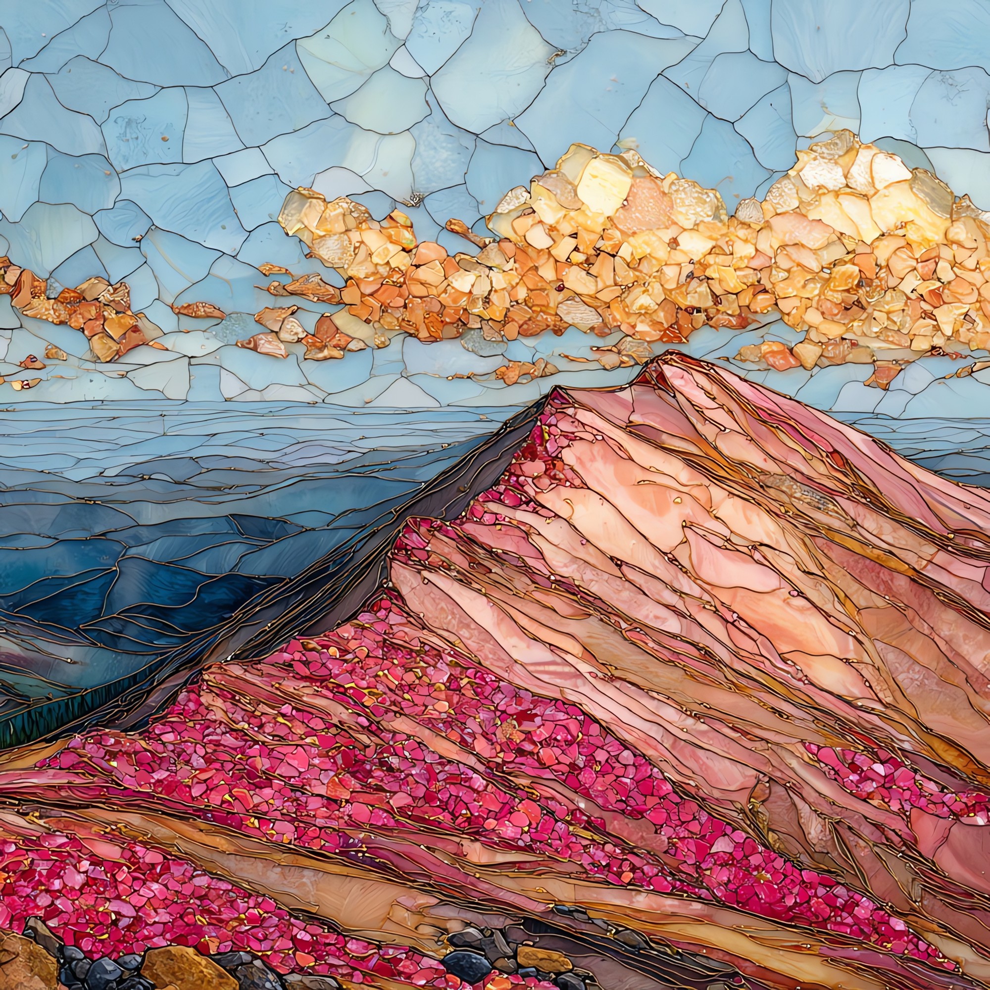
Pikes Peak summit Front Range Ceramic Art Tile
— — the country opens east.
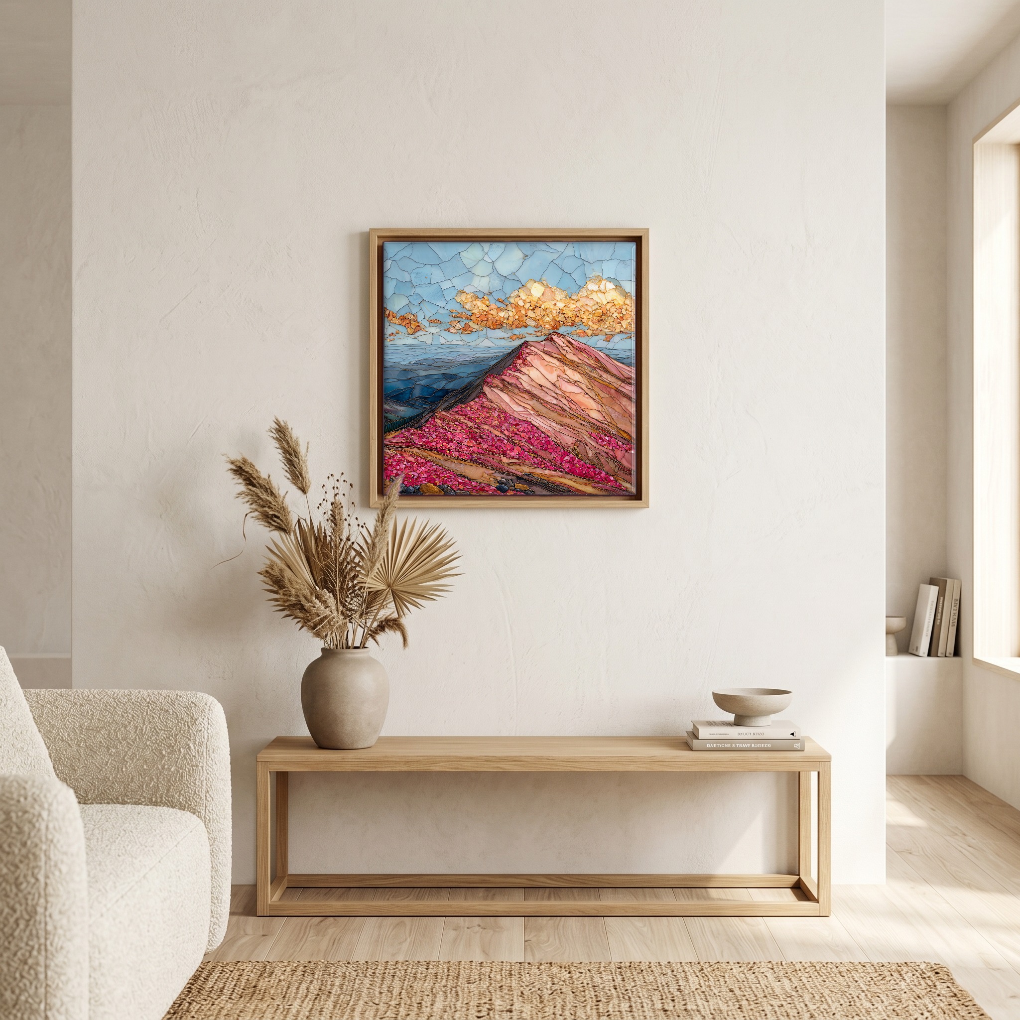
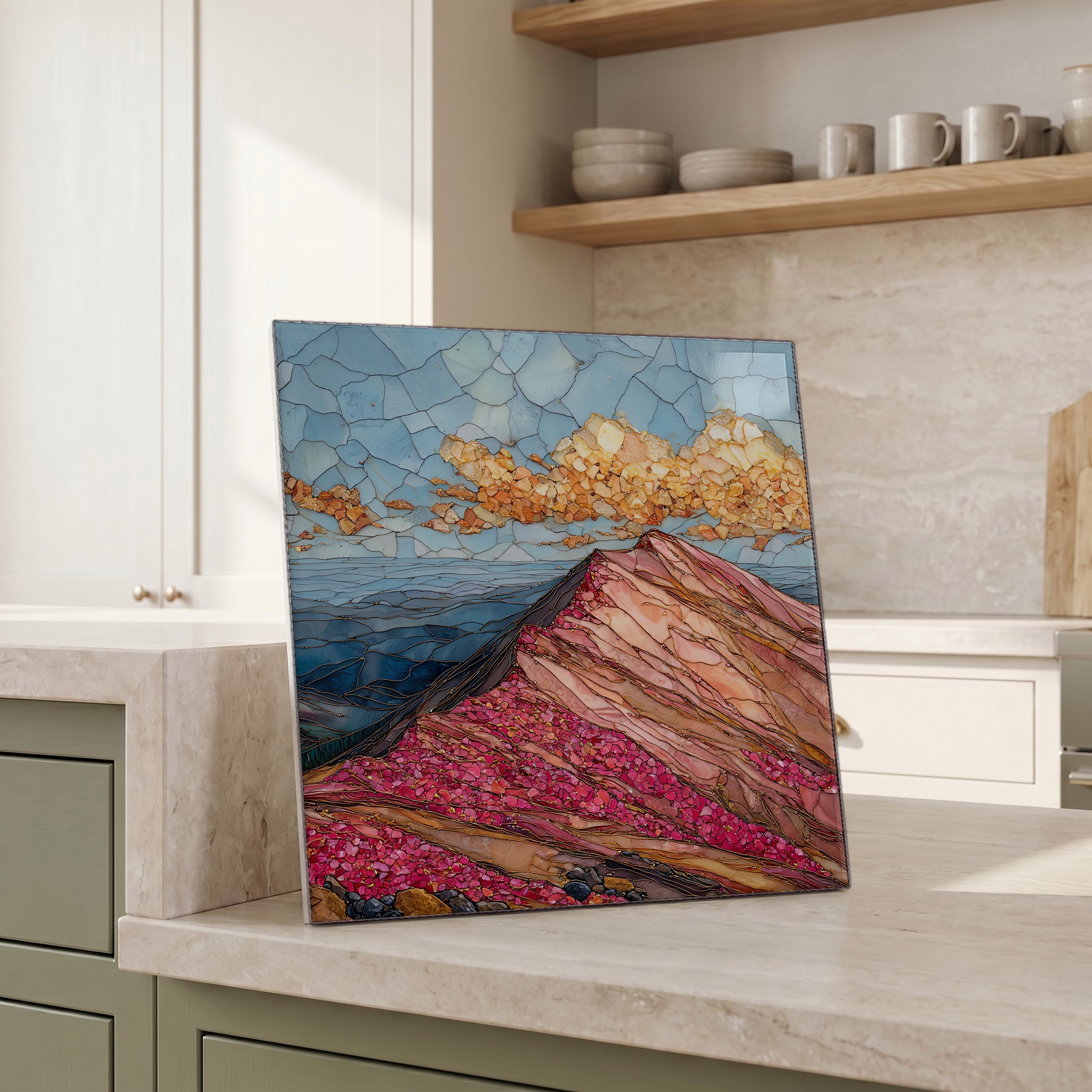
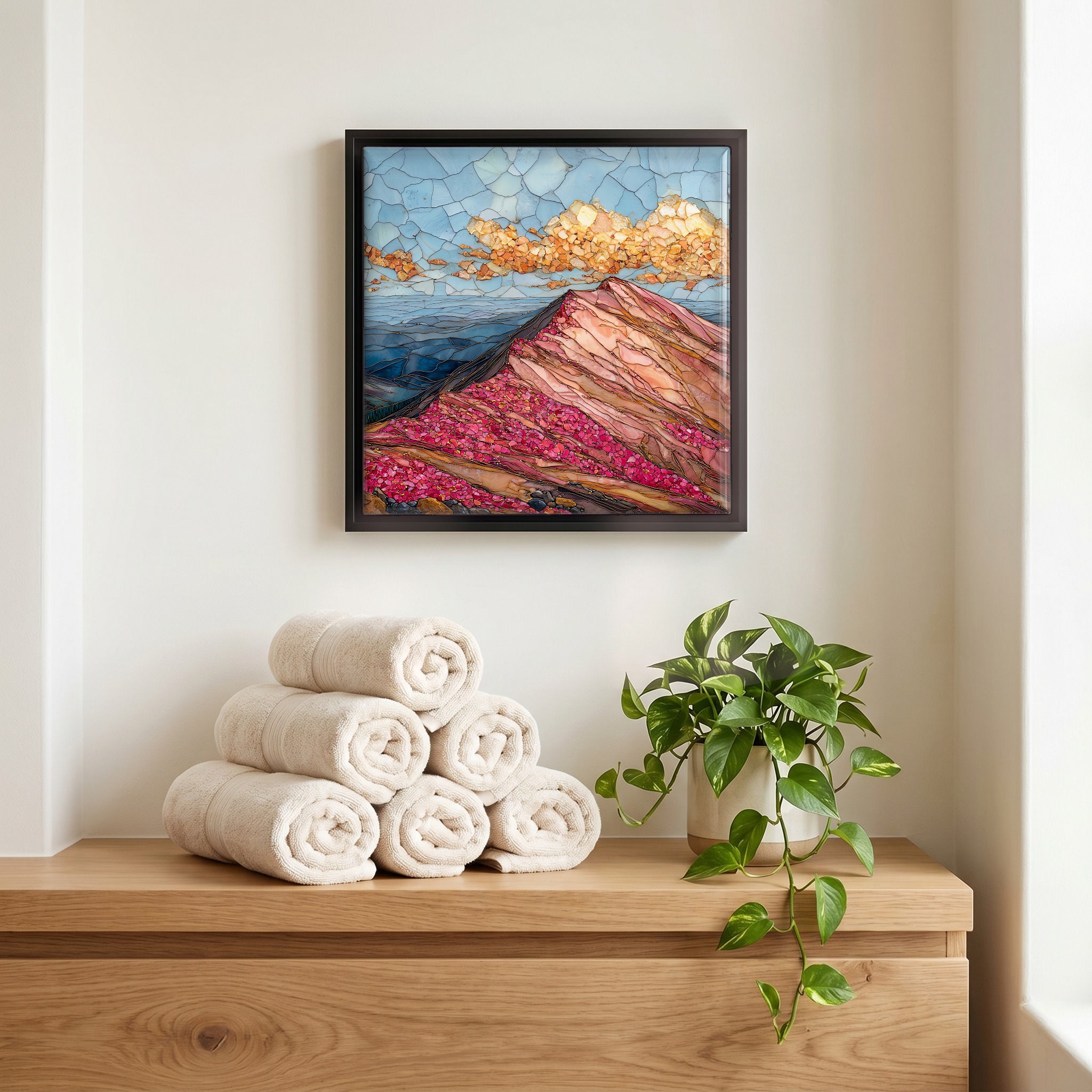
Not only on a wall.


“The easternmost fourteener in the contiguous United States, summit at 14,115 feet, bare alpine tundra above a treeline that gives up two thousand feet down the mountain. Three routes reach the top: the Pikes Peak Highway from Cascade, the Manitou and Pikes Peak Cog Railway from Manitou Springs, and the Barr Trail on foot, 12.6 miles each way. Katharine Lee Bates rode to the summit in 1893 and came down with the first lines of America the Beautiful. The view east is what she meant: the Great Plains opening flat to the horizon, no other mountain in the way.
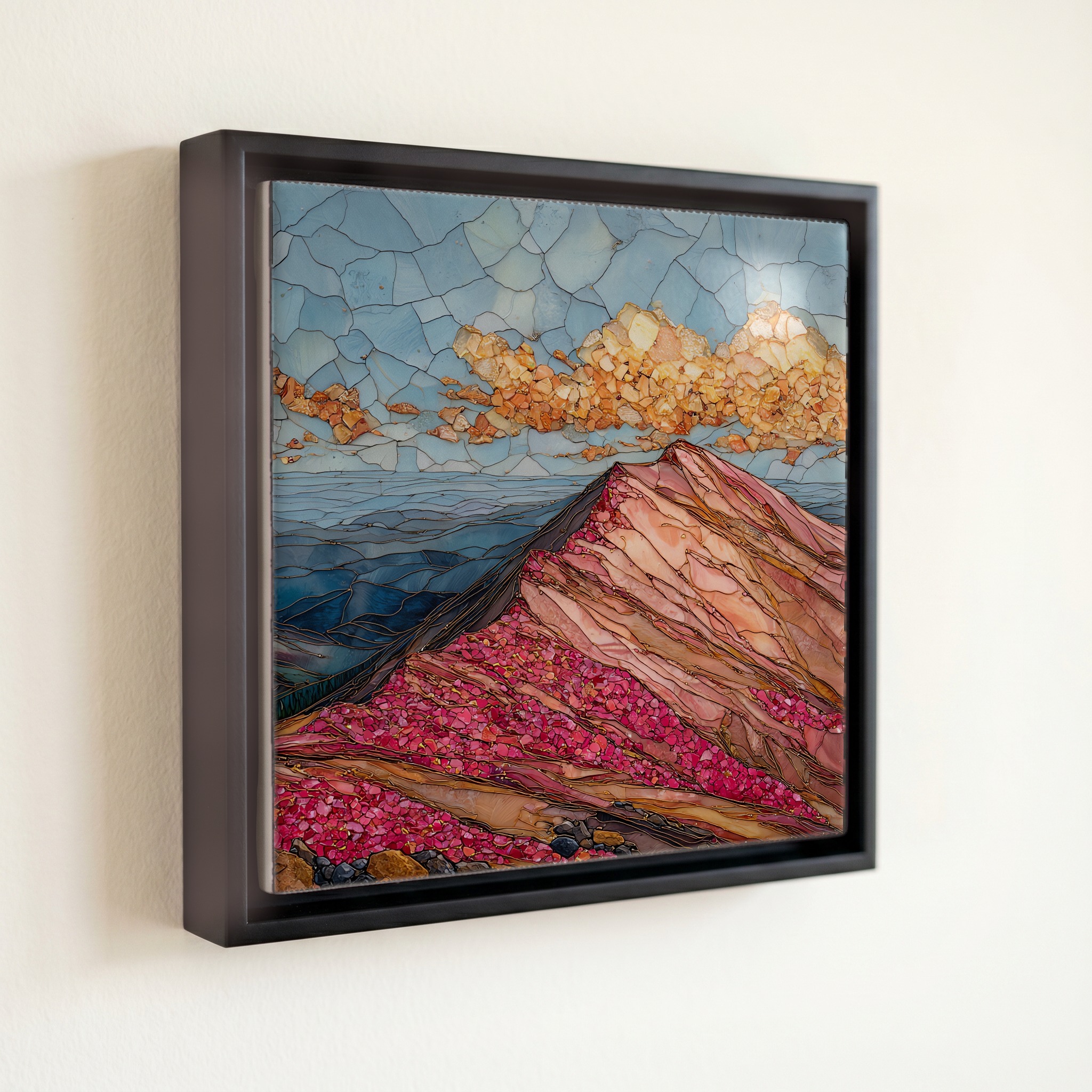
Pikes Peak summit Front Range Ceramic Art Tile, on ceramic.
Each tile is finished by hand in our Knoxville studio. Artwork is slowly infused into the ceramic surface under high heat and pressure, and rests beneath a thin glossy finish. The colour lives in the surface, not on top of it.
Pick any four 4-inch tiles — National Parks you've been to, a Smokies set, the four seasons of one place. $ for a set of , cork-backed, ready to live on the table.
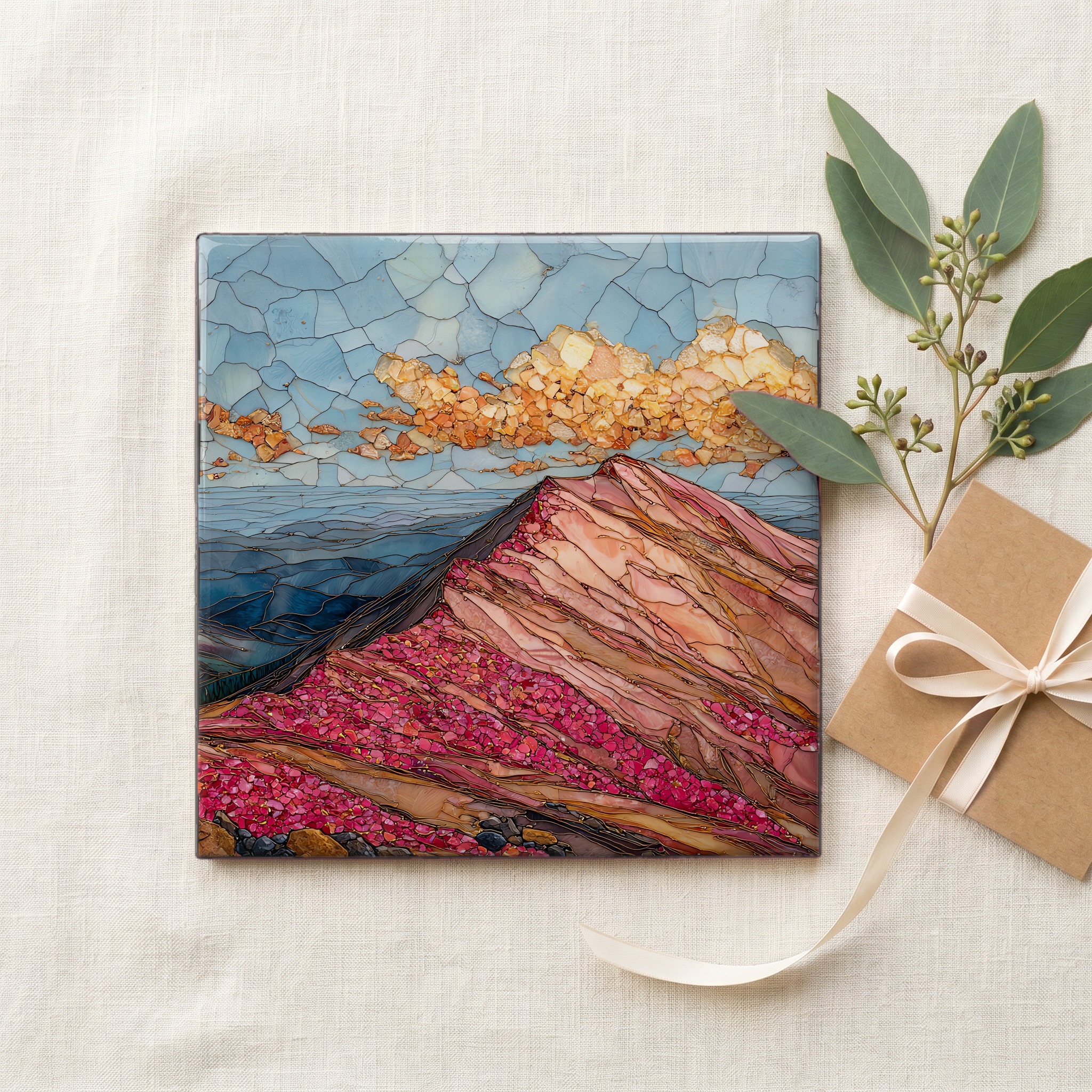
Each tile ships in a kraft box, tied with cream ribbon, with a handwritten note from the studio if you'd like to add one.

Three or five different vistas, hung together — a chapter of places you've been, or want to go.
The place, in three passes.
Pikes Peak rises 14,115 feet (4,302 metres) at the southern end of Colorado's Front Range, the easternmost fourteener in the contiguous United States and the first major peak the Great Plains meet on the way west. The summit sits in El Paso County, roughly twelve miles west of Colorado Springs, inside Pike National Forest. Zebulon Pike sighted the mountain in 1806 from his expedition near present-day Pueblo and attempted a winter ascent, but deep snow turned him back well short of the top. The Ute people, who had lived in the region for centuries, called the peak Tava, 'sun mountain'. The mountain itself is built of Pikes Peak granite, a coarse pink-orange rock roughly 1.08 billion years old that surfaces all through the foothills below.
At 14,115 feet, atmospheric pressure runs roughly 60 percent of sea level, so each breath on the summit delivers about 60 percent of the oxygen available at the coast. Altitude sickness is common; first-time visitors who drive or take the railway from Colorado Springs (about 6,035 feet) and step out at the top often feel light-headed within minutes. Above 11,500 feet on the Front Range, the spruce and bristlecone forest gives way to alpine tundra, a thin band of cushion plants, lichen, and bare granite. Moss campion, alpine forget-me-not, and dwarf clover bloom in a brief six-week window after the snowpack leaves, late June into August. The wind rarely lets up.
Three routes reach the summit. The Pikes Peak Highway is a 19-mile paved toll road from US-24 at Cascade, climbing roughly 7,000 vertical feet through five life zones; the summit road is open most days, weather permitting, and closes to private vehicles during the Pikes Peak International Hill Climb in late June. The Manitou and Pikes Peak Cog Railway runs from Manitou Springs and is the highest cog railway in North America; the line was rebuilt and reopened in May 2021 after a multi-year closure. The Barr Trail climbs 12.6 miles and 7,500 feet from Manitou Springs to the summit, the standard hiking route, usually done in one long day or split overnight at Barr Camp. The new summit visitor center, completed in 2021, replaced the older Summit House.