Pikes Peak Highway Front Range Ceramic Art Tile
— the road the trees stop following.
Not only on a wall.


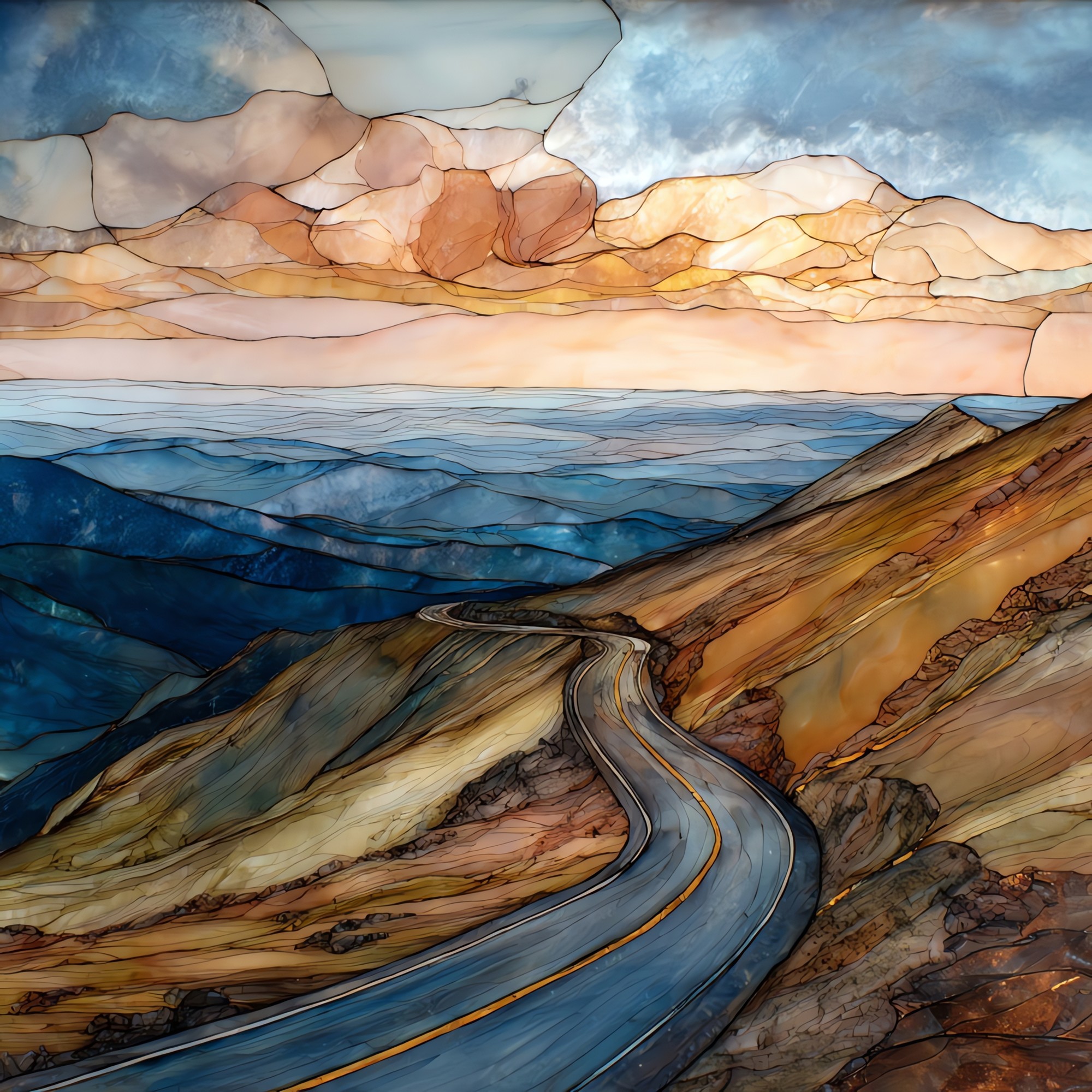
“Nineteen miles up from Cascade, the road climbs through three forests before it runs out of trees. Above eleven thousand feet there is only granite and tundra and the long view east, where the plains begin. The summit sits at 14,115 feet, close enough to thin the air that drivers are asked to take their time on the descent. Katharine Lee Bates wrote 'America the Beautiful' after riding up by carriage in 1893. The road is paved the whole way now. The view, by all accounts, has not changed.
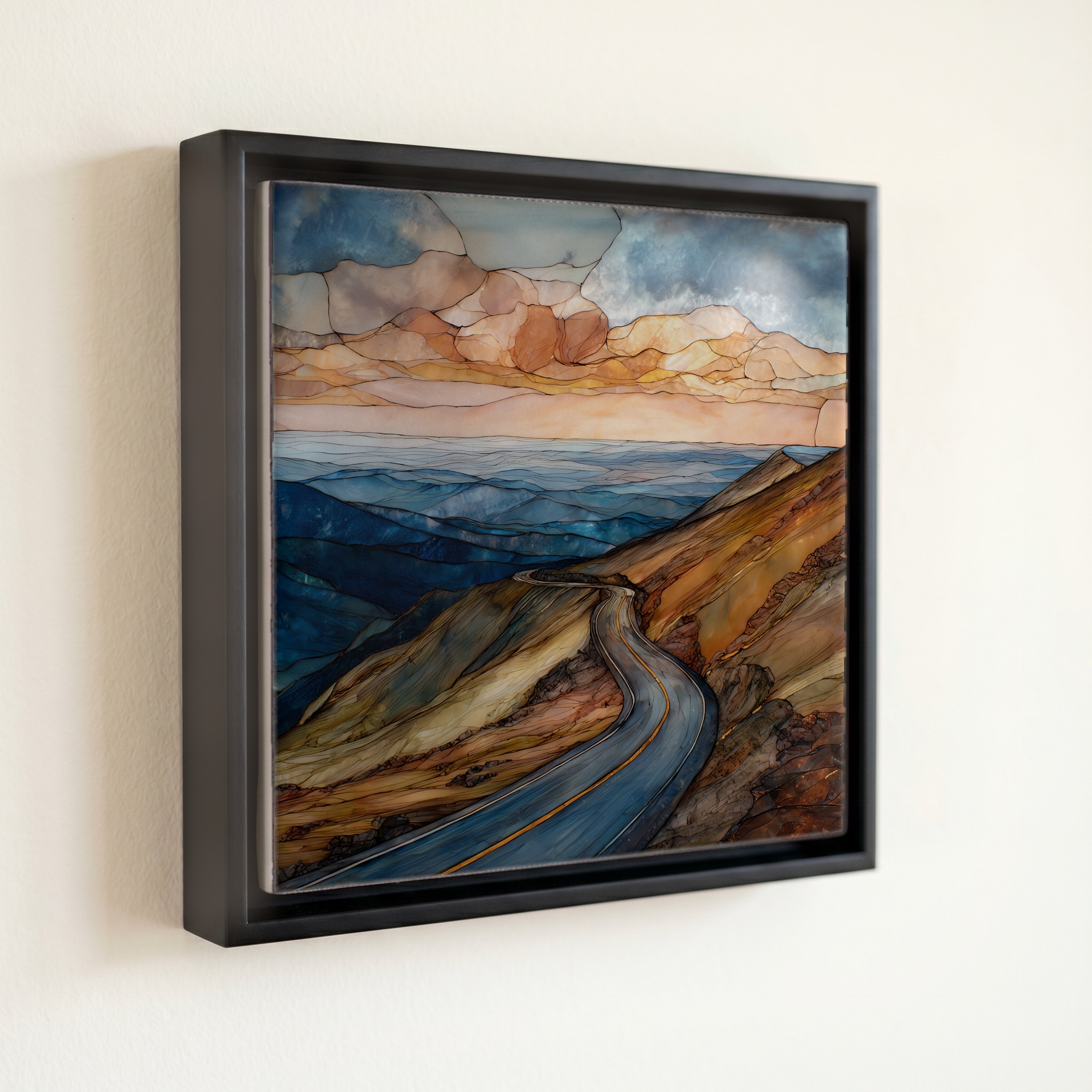
Pikes Peak Highway Front Range Ceramic Art Tile, on ceramic.
Each tile is finished by hand in our Knoxville studio. Artwork is slowly infused into the ceramic surface under high heat and pressure, and rests beneath a thin glossy finish. The colour lives in the surface, not on top of it.
Pick any four 4-inch tiles — National Parks you've been to, a Smokies set, the four seasons of one place. $ for a set of , cork-backed, ready to live on the table.
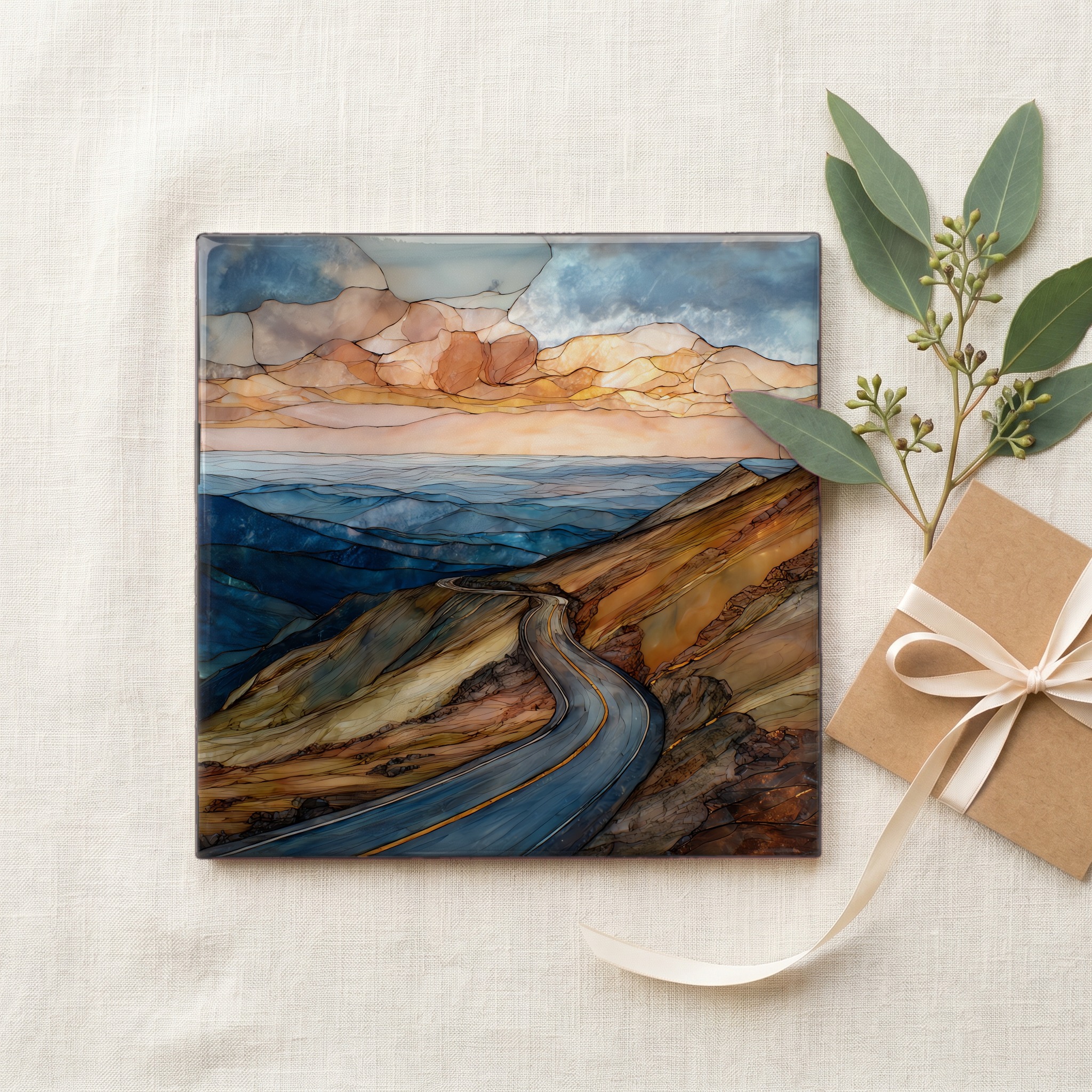
Each tile ships in a kraft box, tied with cream ribbon, with a handwritten note from the studio if you'd like to add one.

Three or five different vistas, hung together — a chapter of places you've been, or want to go.
The place, in three passes.
Pikes Peak Highway is a 19-mile toll road in El Paso County, Colorado, climbing from the town of Cascade at around 7,400 feet to the summit of Pikes Peak at 14,115 feet. The road is operated by the City of Colorado Springs and runs through Pike National Forest. From the summit on a clear day the view reaches east across the Great Plains and west across the Sawatch Range; Katharine Lee Bates wrote 'America the Beautiful' after seeing it in July 1893. The mountain is the easternmost fourteener in the Rocky Mountains, the first peak the plains see, and the Ute people called it Tava, or Sun Mountain, long before.
Above 11,500 feet the bristlecone pines thin and stop, and the road enters the alpine tundra, a cold desert of granite, low cushion plants, and lichens that can be hundreds of years old. The summit sits at roughly 14,115 feet above sea level; the air there holds about 60 percent of the oxygen available at sea level. Pikes Peak Cog Railway engineers and park staff have studied the effect for over a century. Drivers feel it as a slight headache, shortness of breath, or sudden tiredness on the brief walk from the parking lot to the new Summit Visitor Center, which opened in 2021.
The highway is open year-round but weather closes the upper reaches often through winter and into spring, and the gate may turn back at Glen Cove if storms move over the summit. A passenger-vehicle toll is collected at the gate; the City of Colorado Springs publishes current rates each season. The descent is the part the rangers will warn you about. Brakes can overheat, so drivers are asked to stop at Glen Cove on the way down to let them cool. The Pikes Peak International Hill Climb has run on this same road every summer since 1916.