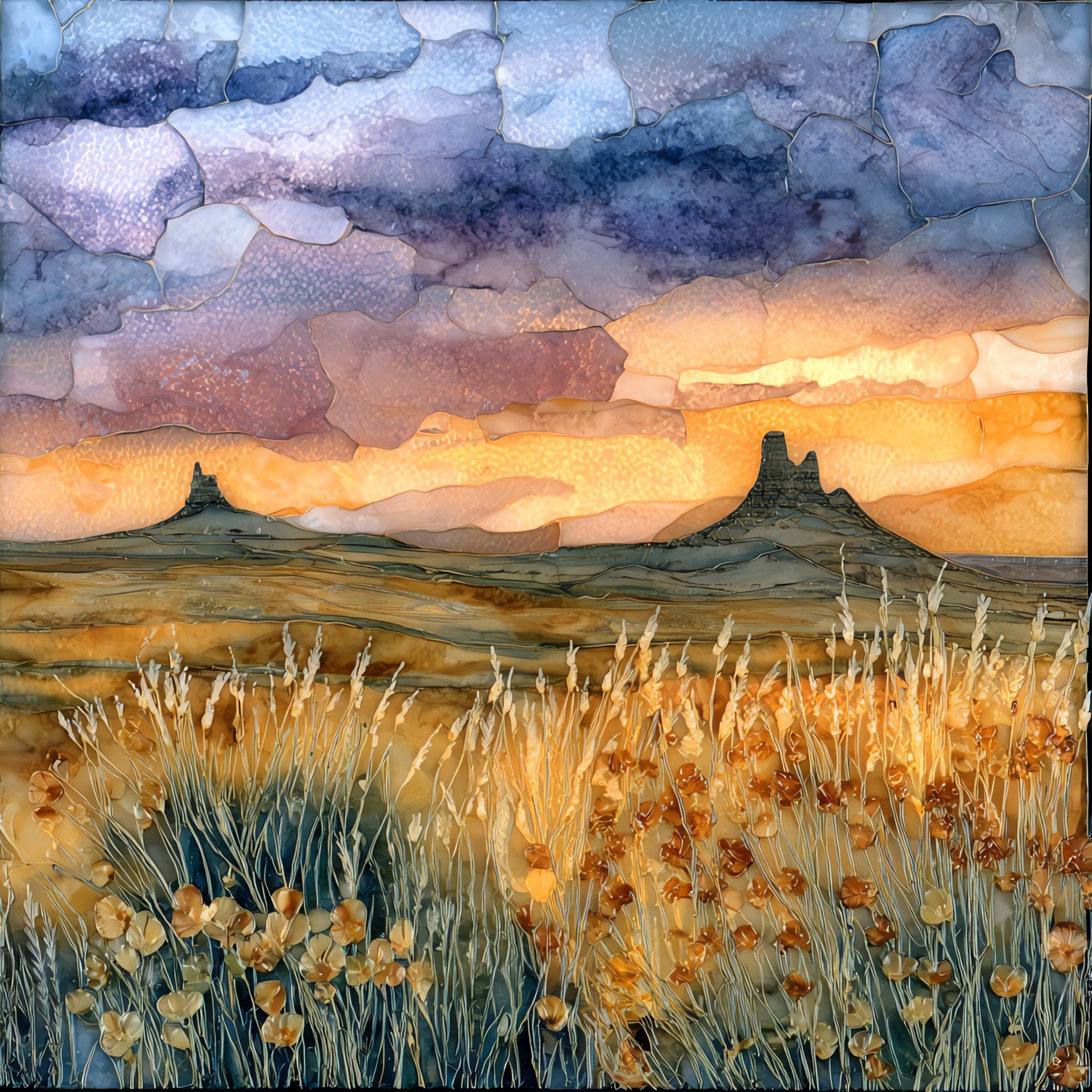
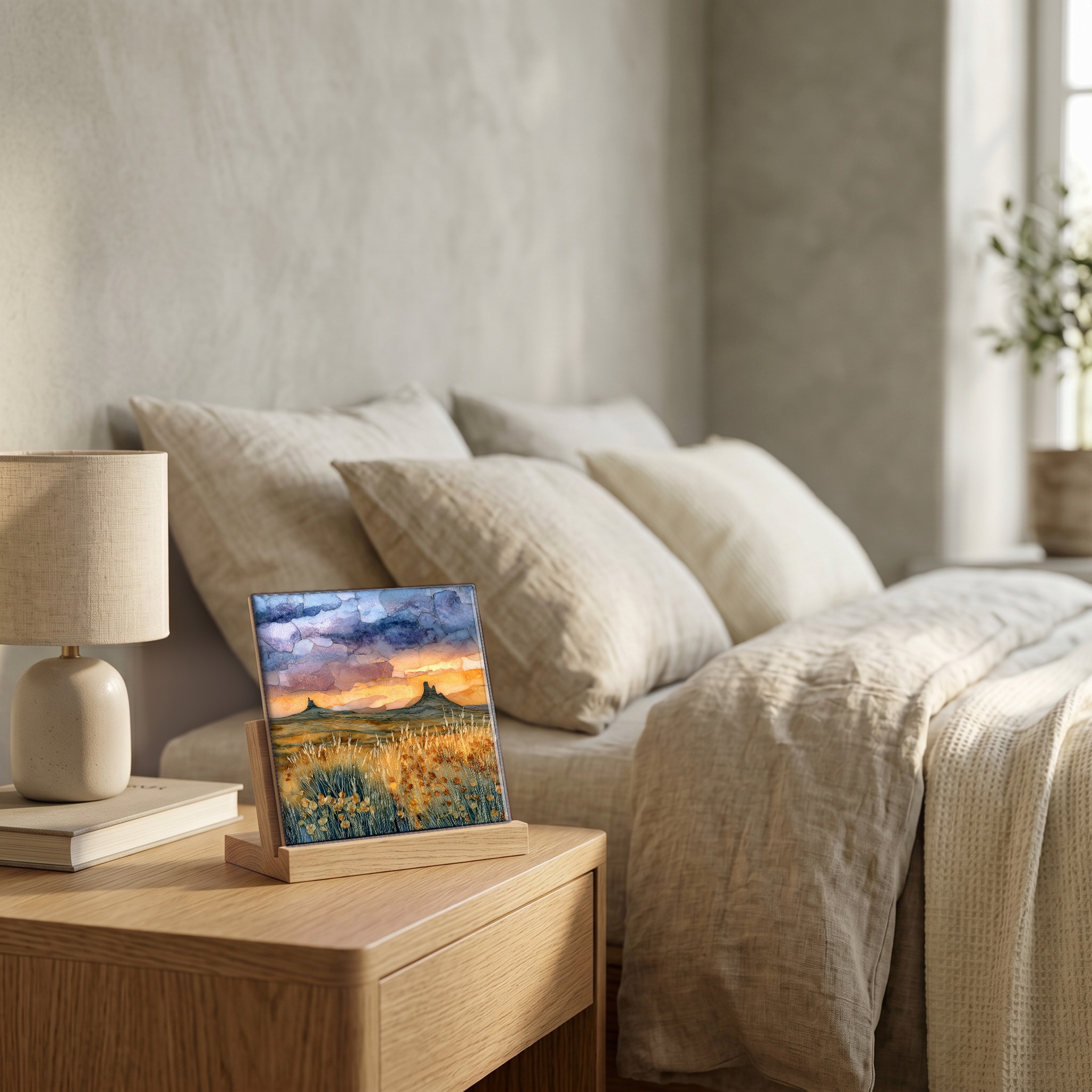
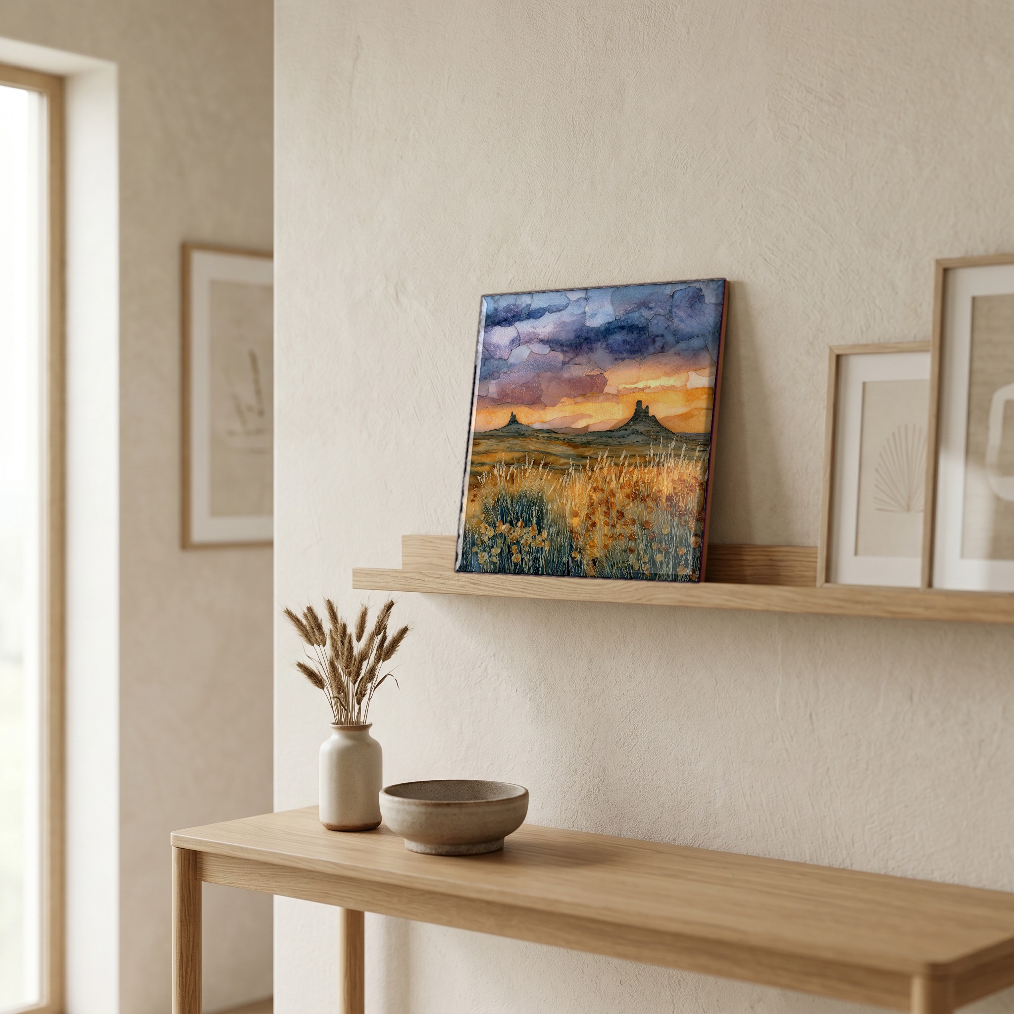
Pawnee National Grassland Ceramic Art Tile
— two buttes and a horizon that doesn't stop.
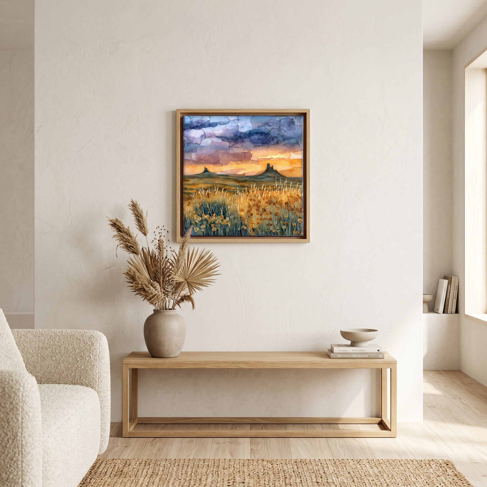
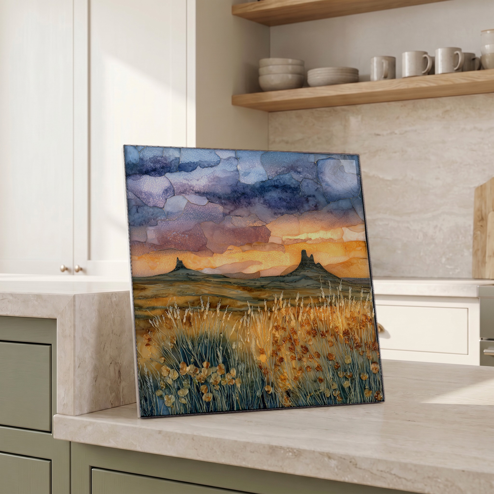
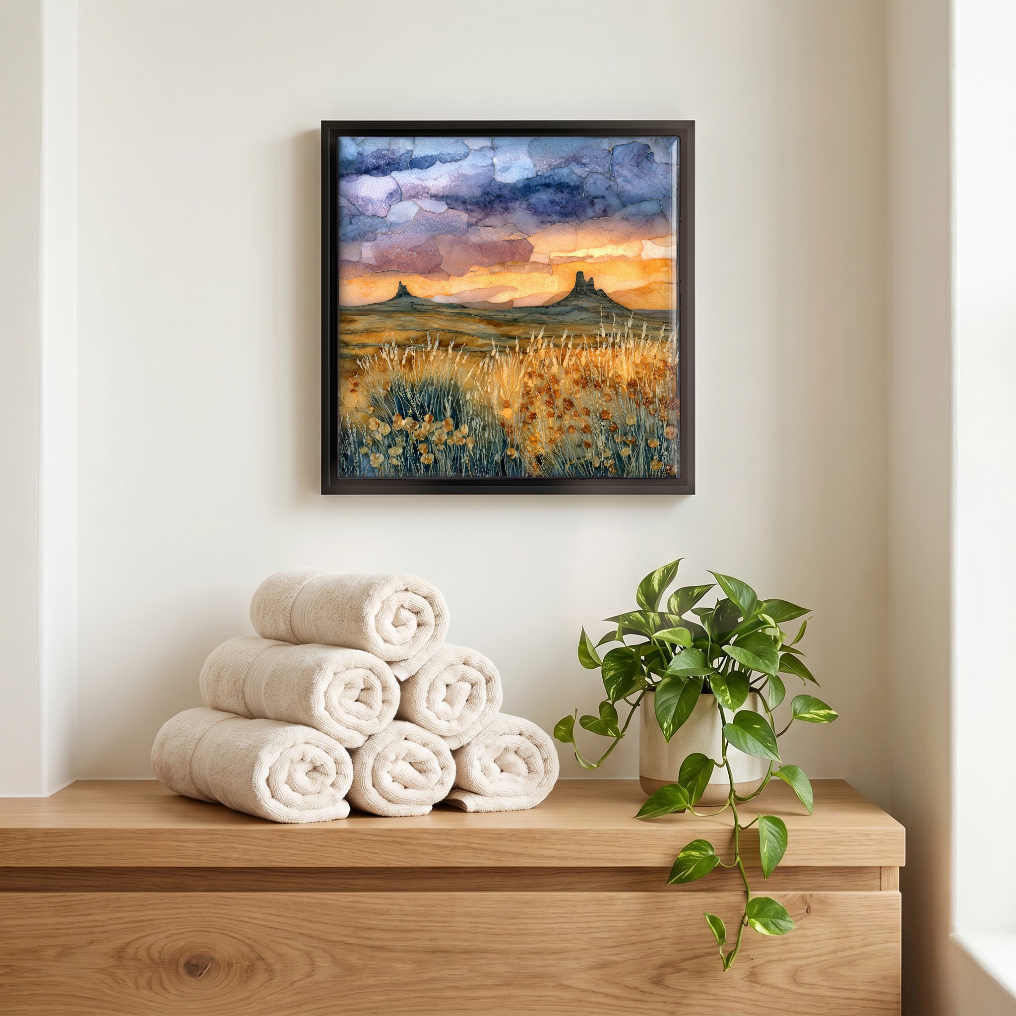
Not only on a wall.
“A piece of the high plains east of Greeley, where the Rockies fall away and the country opens. Two sandstone buttes rise about 250 feet above the prairie, the last harder pieces of an older landscape the wind hasn't carried off. The grass is short and the sky is large. From March through June the cliffs belong to the nesting raptors and the path turns back early. The rest of the year the trail walks the open mile to the base of the west butte, with the kind of wind that has nothing to push against.
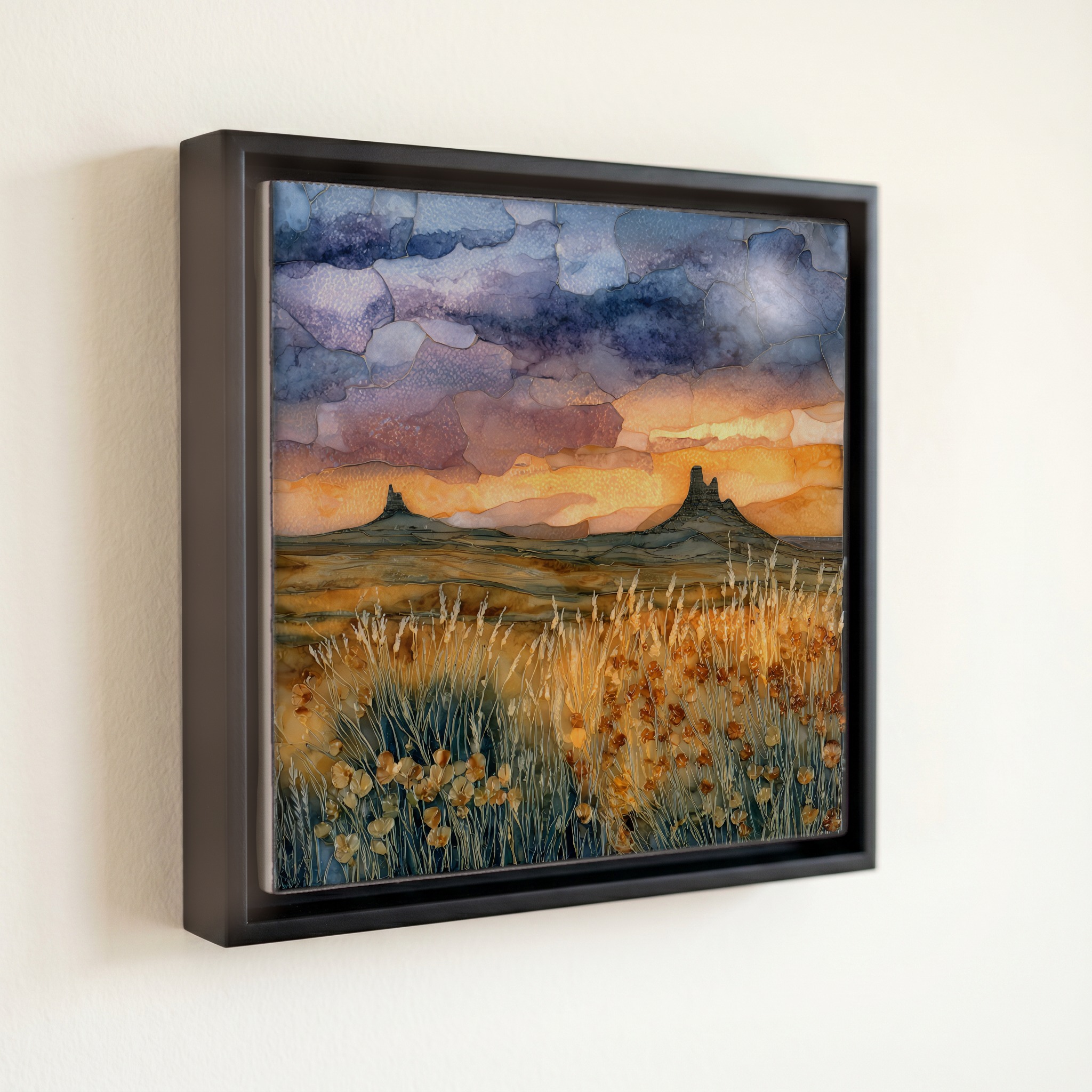
Pawnee National Grassland Ceramic Art Tile, on ceramic.
Each tile is finished by hand in our Knoxville studio. Artwork is slowly infused into the ceramic surface under high heat and pressure, and rests beneath a thin glossy finish. The colour lives in the surface, not on top of it.
Pick any four 4-inch tiles — National Parks you've been to, a Smokies set, the four seasons of one place. $ for a set of , cork-backed, ready to live on the table.
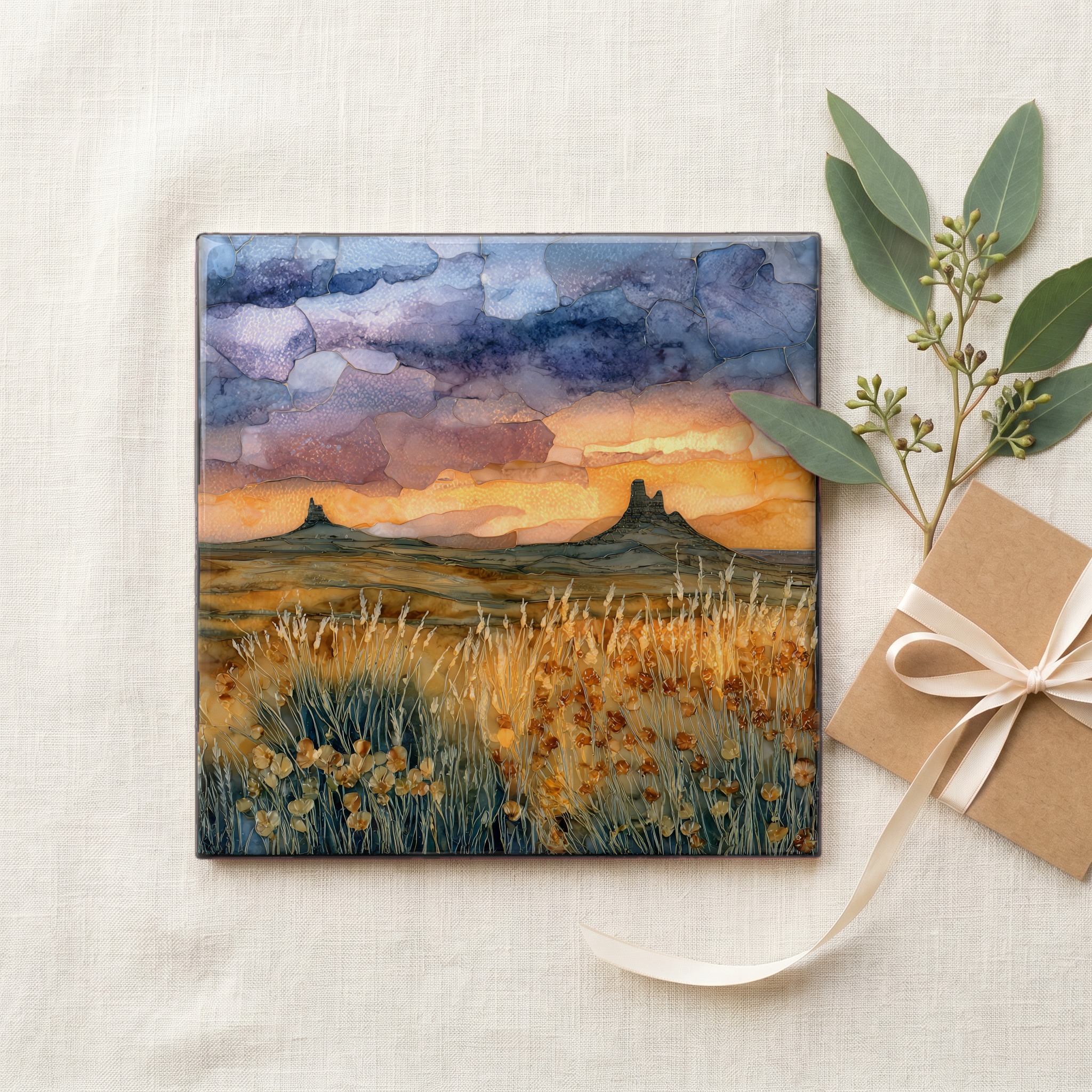
Each tile ships in a kraft box, tied with cream ribbon, with a handwritten note from the studio if you'd like to add one.

Three or five different vistas, hung together — a chapter of places you've been, or want to go.
The place, in three passes.
Pawnee National Grassland covers about 193,060 acres of shortgrass prairie in Weld County, in the far northeastern corner of Colorado, managed by the US Forest Service as part of the Arapaho and Roosevelt National Forests. The land was assembled by the federal government during the 1930s under the Bankhead-Jones Farm Tenant Act, buying back farmland the Dust Bowl had ruined, and was designated a National Grassland in 1960. The Forest Service office sits in Greeley, about 35 miles southwest of the Pawnee Buttes themselves. The grassland is reached by county roads off Colorado State Highway 14 east of Briggsdale, where pavement gives way to graded dirt and the country opens out toward Nebraska.
The Pawnee Buttes rise about 250 feet above the surrounding prairie floor, two flat-topped sandstone towers left behind as the High Plains around them eroded away. The harder cap is Ogallala Formation rock, deposited as river gravels and sands washed off the rising Rockies during the Miocene. Below the cap, the softer Brule Formation siltstones and clays from the Oligocene weather faster and have given the surrounding country its slow downward slope. Geologists call landforms of this kind erosional remnants. The west butte is the one the public trail reaches, about a mile and a half from the trailhead off County Road 110. The east butte sits on private land and is admired from a distance.
From March 1 through June 30 the Forest Service closes the cliff approaches near the buttes to protect nesting raptors. Ferruginous hawks, prairie falcons, and golden eagles raise their broods on the rock walls during those four months, and the published trail turns back at a posted boundary well before the base of the west butte. The grassland itself stays open all year. July through October is the easier season for the full hike, with cooler mornings, lark buntings on the wires, and pronghorn at long distance. Winter is open and severe: wind, drifted dirt, ground blizzards along the section-line roads. The grassland is recognised by the National Audubon Society as an Important Bird Area for breeding shortgrass passerines.