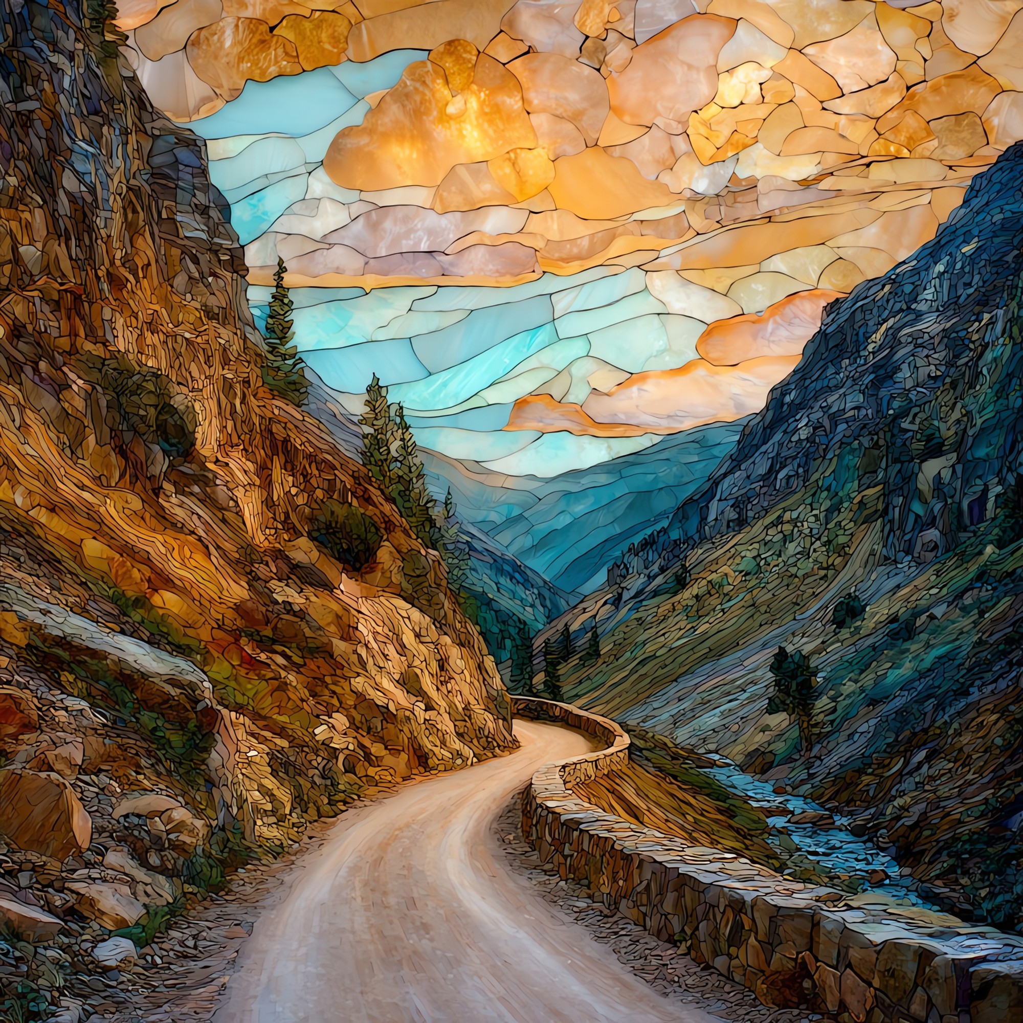
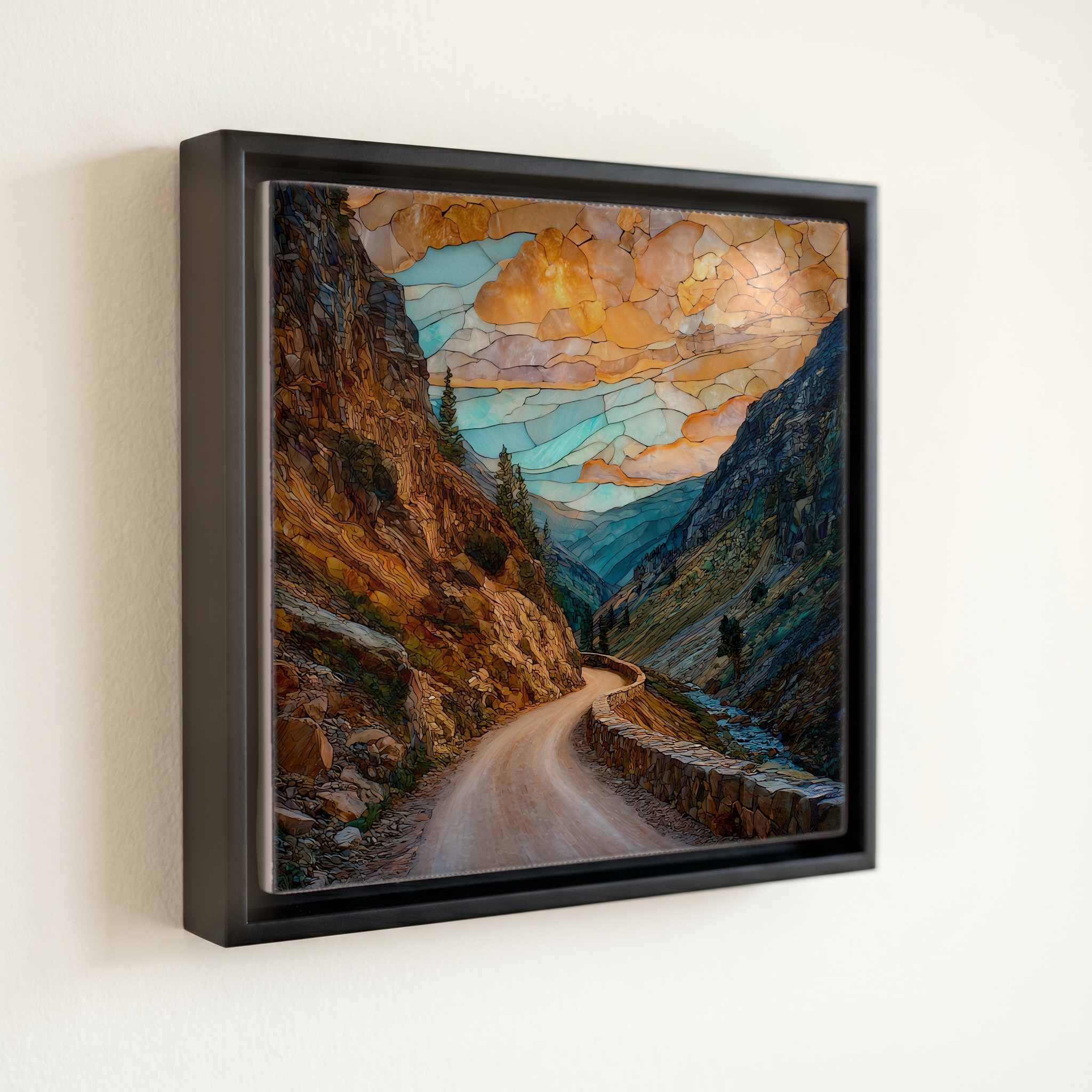
Old Fall River Road Rocky Mountain National Park Ceramic Art Tile
— — the slow climb above the timber.
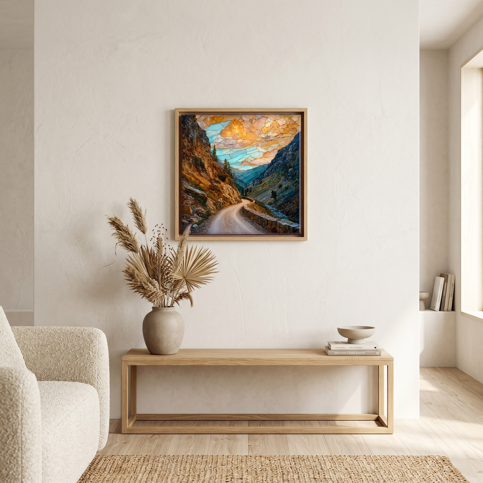
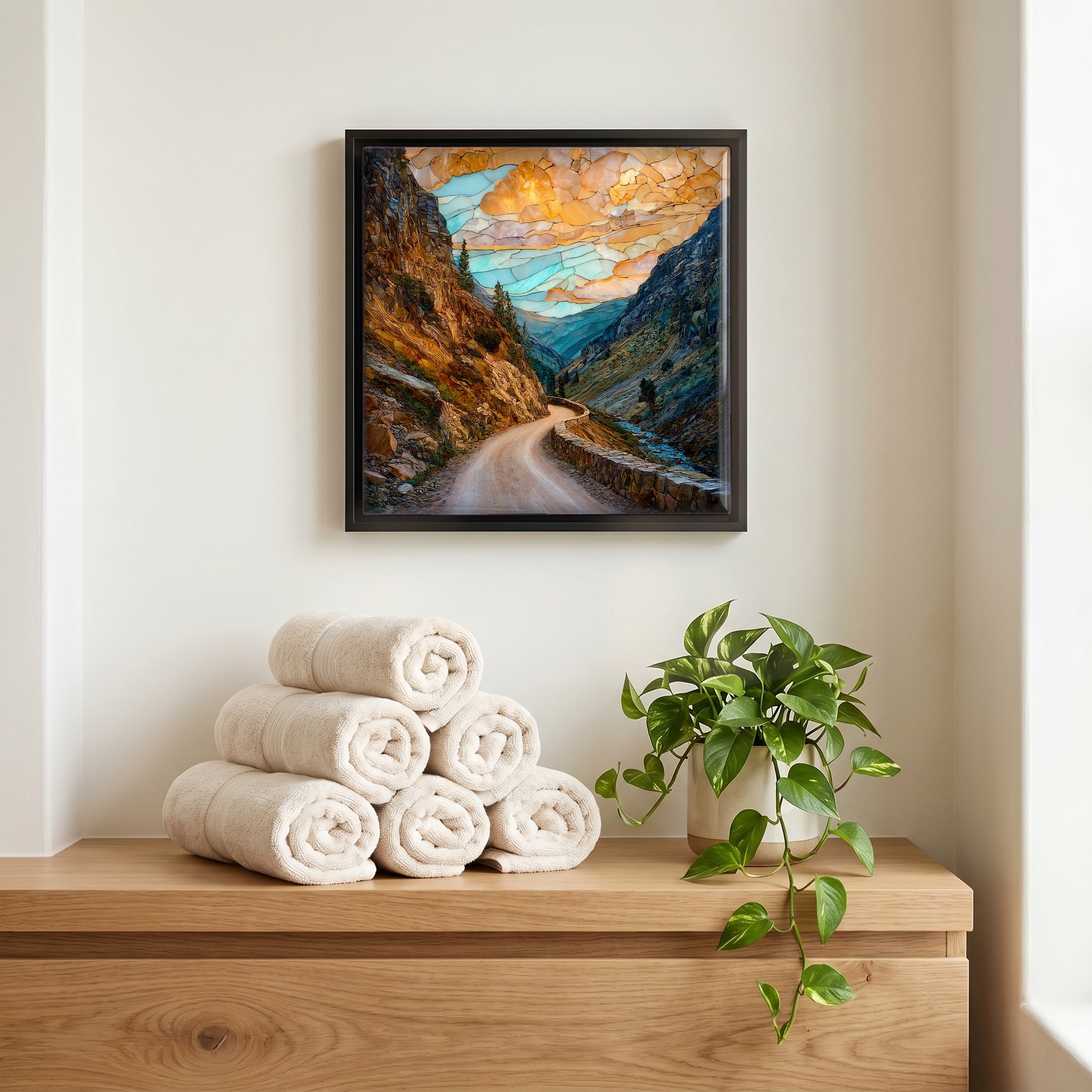
Not only on a wall.

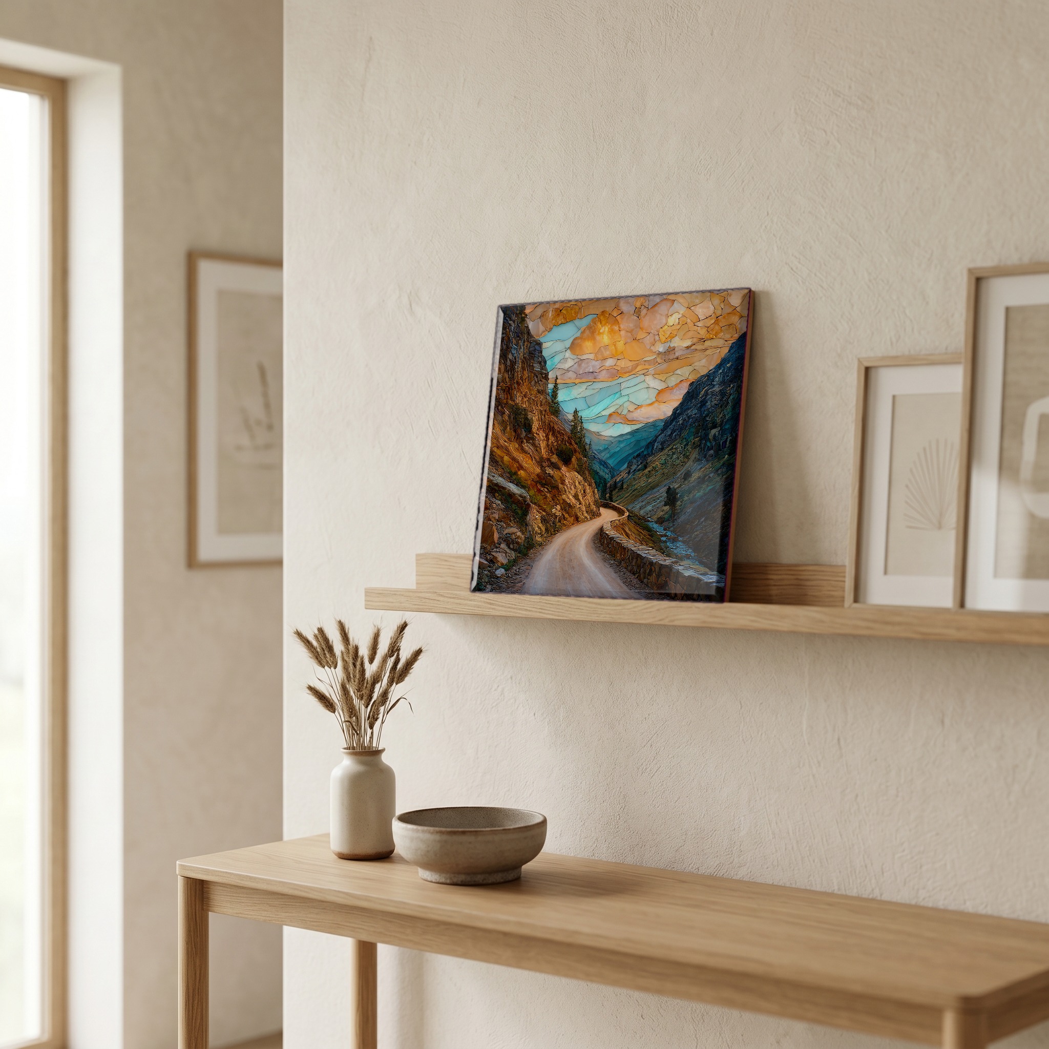
“The first automobile road into Rocky Mountain National Park's high country. Opened in 1920, twelve years before Trail Ridge Road took its place. It runs one direction only now, uphill. Nine miles, fifteen miles an hour, gravel and switchbacks from Endovalley through the lodgepole pines, past Chasm Falls, up through the spruce and the krummholz to where the trees give out and the tundra begins. Closed by snow most of the year. Open from July to early October if the weather holds. Nobody on it is in a hurry; the road won't let them be.
Old Fall River Road Rocky Mountain National Park Ceramic Art Tile, on ceramic.
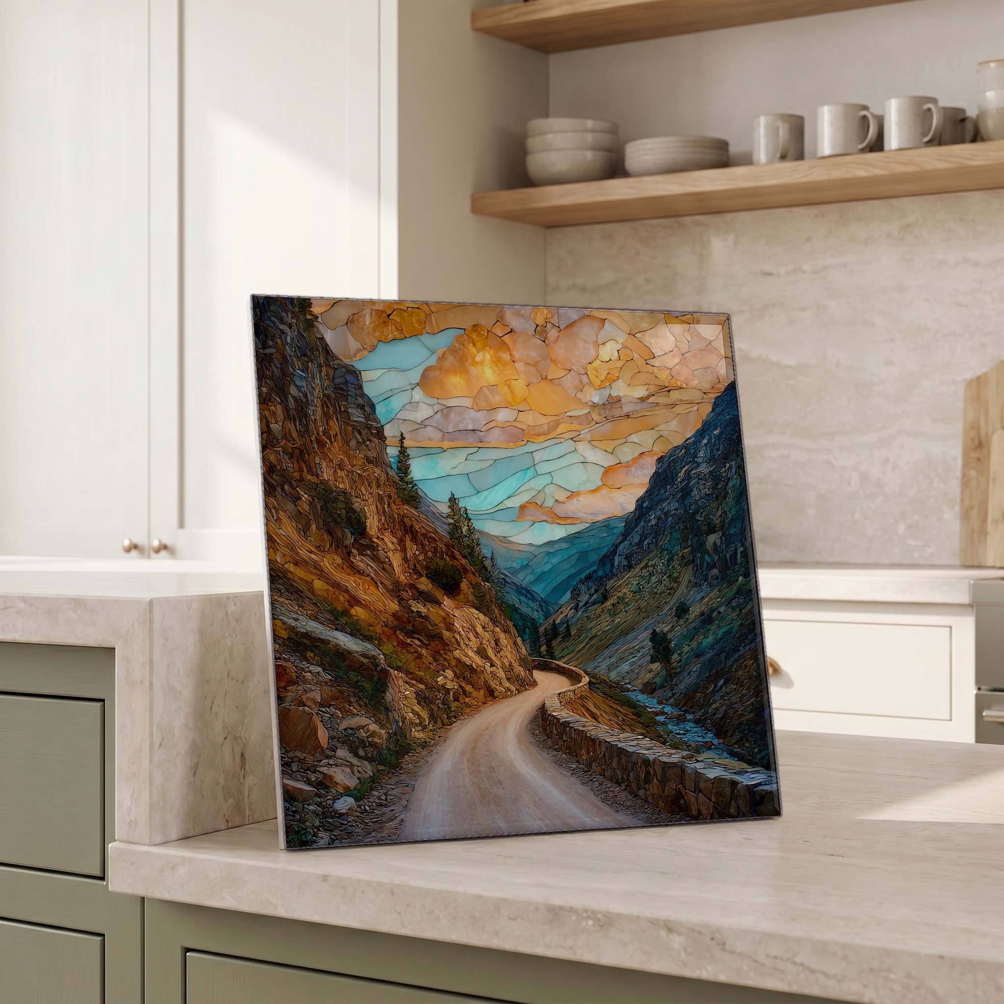
Each tile is finished by hand in our Knoxville studio. Artwork is slowly infused into the ceramic surface under high heat and pressure, and rests beneath a thin glossy finish. The colour lives in the surface, not on top of it.
Pick any four 4-inch tiles — National Parks you've been to, a Smokies set, the four seasons of one place. $ for a set of , cork-backed, ready to live on the table.
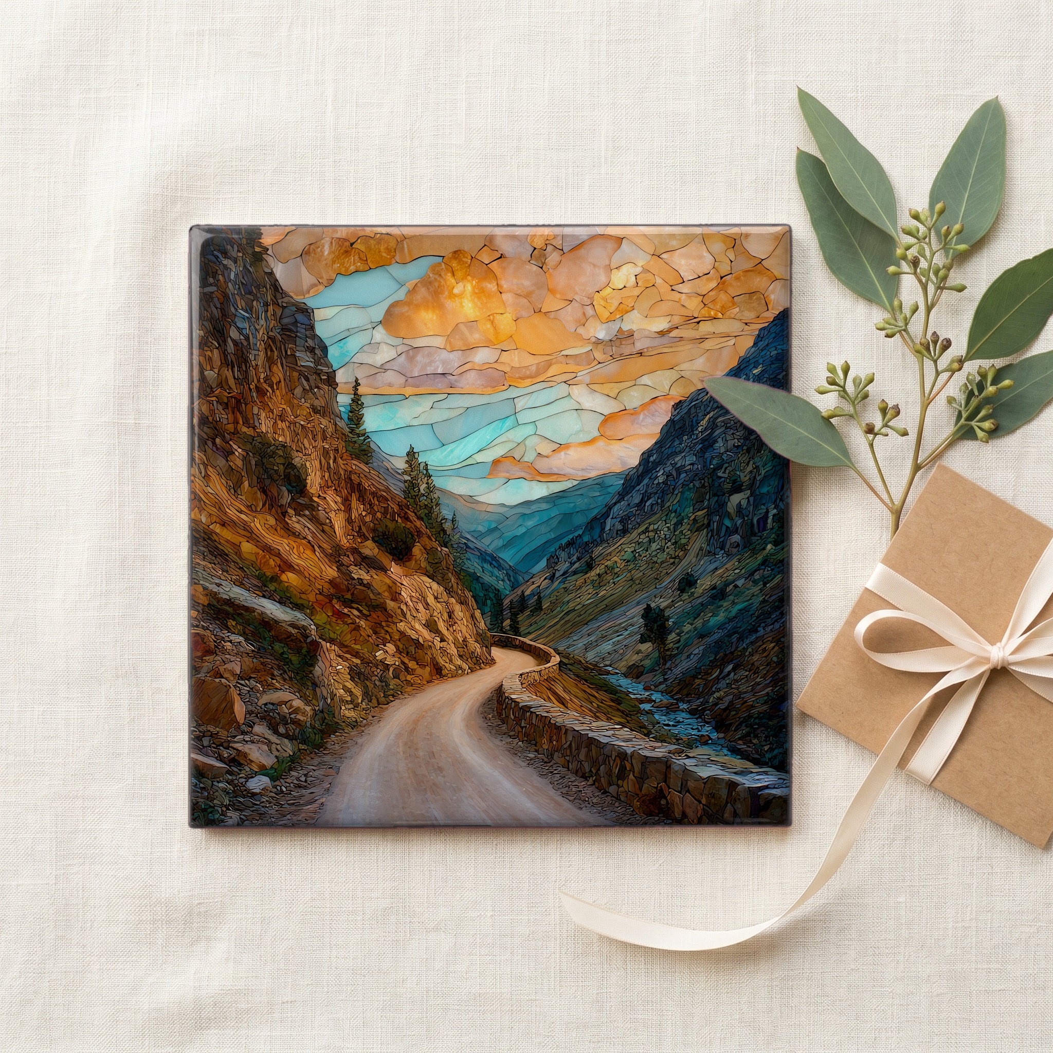
Each tile ships in a kraft box, tied with cream ribbon, with a handwritten note from the studio if you'd like to add one.

Three or five different vistas, hung together — a chapter of places you've been, or want to go.
The place, in three passes.
Old Fall River Road climbs about nine miles from Endovalley in Horseshoe Park to Fall River Pass at the Alpine Visitor Center, gaining roughly 3,200 feet in altitude. It was the first automobile route into the high country of Rocky Mountain National Park, opened in 1920 after seven years of hand construction. Trail Ridge Road, the broader two-way highway that replaced it as the main park crossing, did not open until 1932. The old road remains in active use as a one-way uphill seasonal route. It begins at about 8,560 feet and tops out at 11,796 feet at the pass.
Driving Old Fall River Road moves through three distinct life zones in under an hour. The lower switchbacks pass through montane forest of ponderosa and lodgepole pine. Higher up the climate shifts to the subalpine, with Engelmann spruce and subalpine fir, then to krummholz where the wind has bent the trees into knee-high mats at treeline. Above 11,000 feet the trees stop entirely and the road enters alpine tundra, the same plant community that grows on the Arctic Circle. Yellow-bellied marmots and pikas live among the boulders along the upper miles. The Alpine Visitor Center at the top sits at 11,796 feet, one of the highest visitor centers in the National Park system.
The road is open one direction only, uphill, from roughly July 4 to early October, depending on snowfall. Speed limit is 15 mph for the full nine miles. Vehicles longer than 25 feet are prohibited, and trailers and RVs cannot use the route. There are no fuel or food services between Endovalley and the Alpine Visitor Center, and the road has no guardrails. A park entry fee or America the Beautiful pass is required, and the park has operated a timed-entry reservation system during peak season in recent years. Chasm Falls is the most visited stop, reached by a short walk about a mile and a half from the start. The descent back to Estes Park is made via Trail Ridge Road.