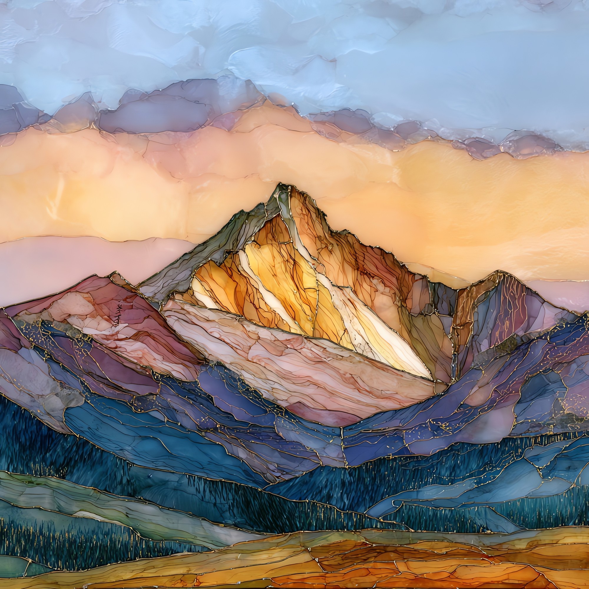
Mount Yale Collegiate Peaks Sawatch Range Ceramic Art Tile
— — the morning before the storms come up.
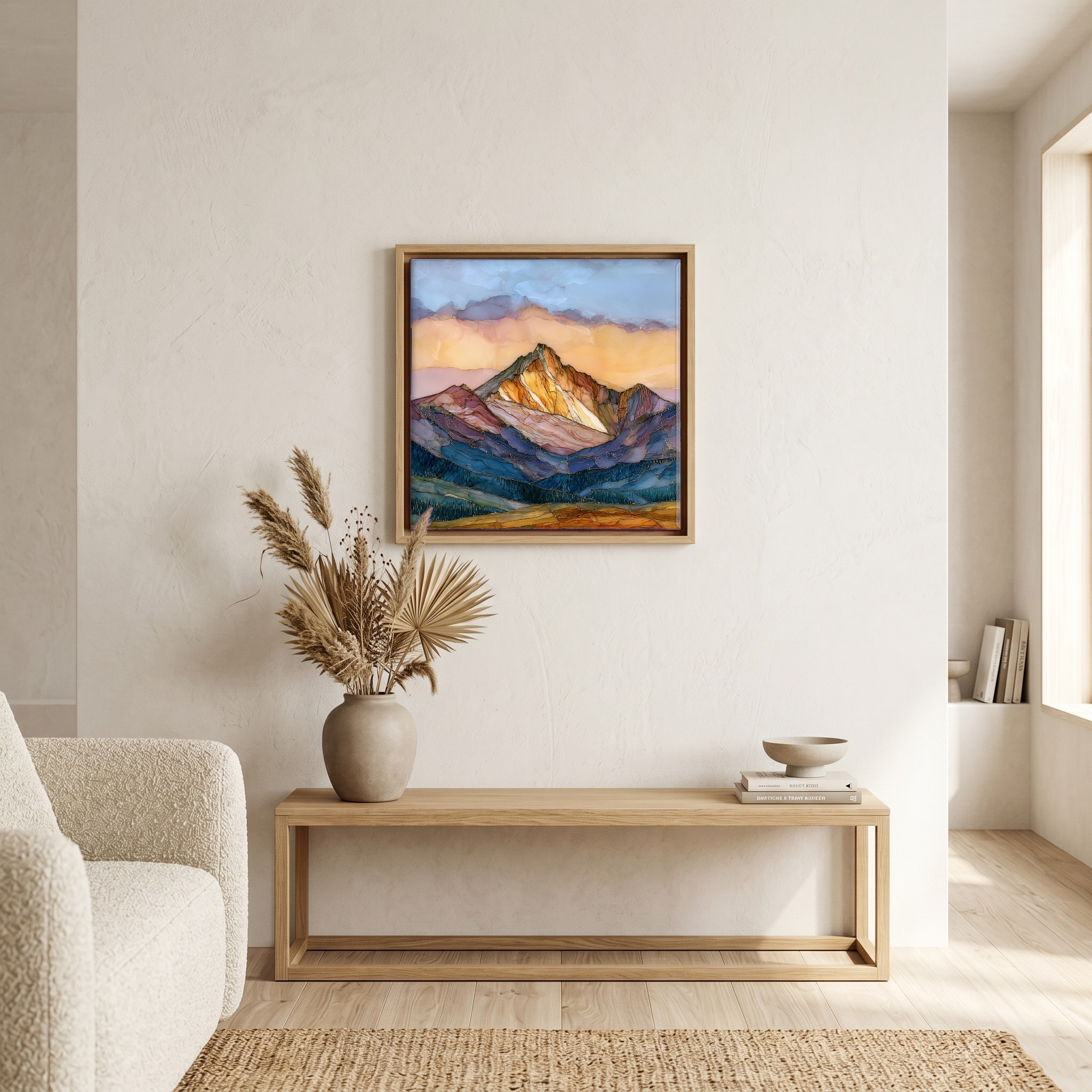
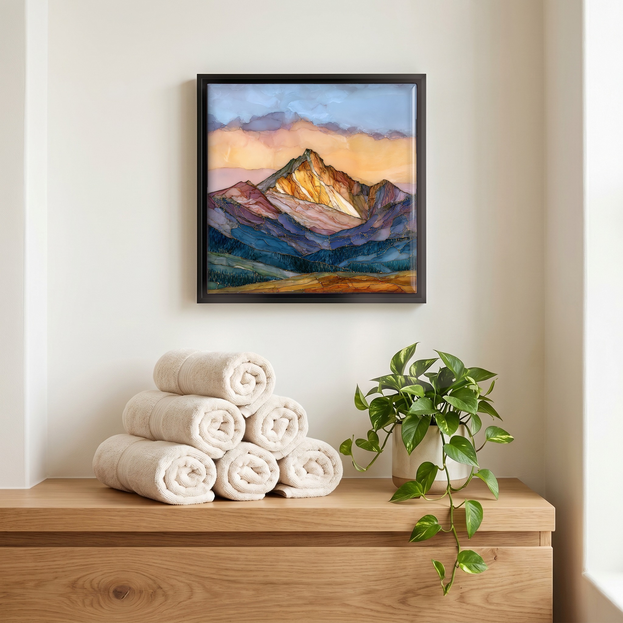
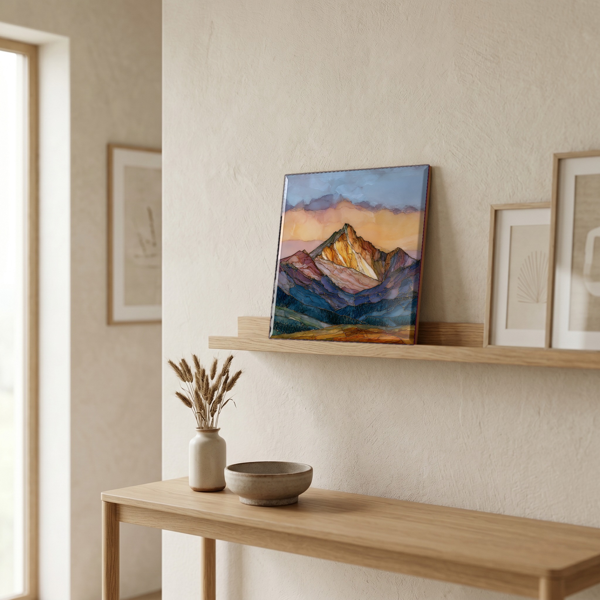
Not only on a wall.


“Sits in the Collegiate Peaks, the cluster of fourteeners that Josiah Whitney's 1869 survey named for the universities he knew: Harvard, Princeton, Columbia, Oxford, and Yale, his own. The standard climb leaves Denny Creek Trailhead off Cottonwood Pass Road, takes the Southwest Slopes about nine and a half miles round trip, and asks climbers to be off the ridge before the afternoon storms build. The summit is broken granite. From the top, the Arkansas Valley opens east toward Buena Vista, and the rest of the range stands in a line.
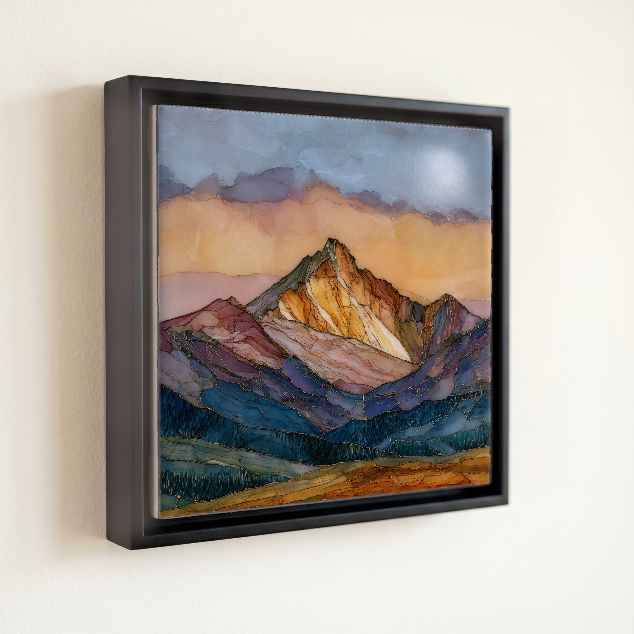
Mount Yale Collegiate Peaks Sawatch Range Ceramic Art Tile, on ceramic.
Each tile is finished by hand in our Knoxville studio. Artwork is slowly infused into the ceramic surface under high heat and pressure, and rests beneath a thin glossy finish. The colour lives in the surface, not on top of it.
Pick any four 4-inch tiles — National Parks you've been to, a Smokies set, the four seasons of one place. $ for a set of , cork-backed, ready to live on the table.
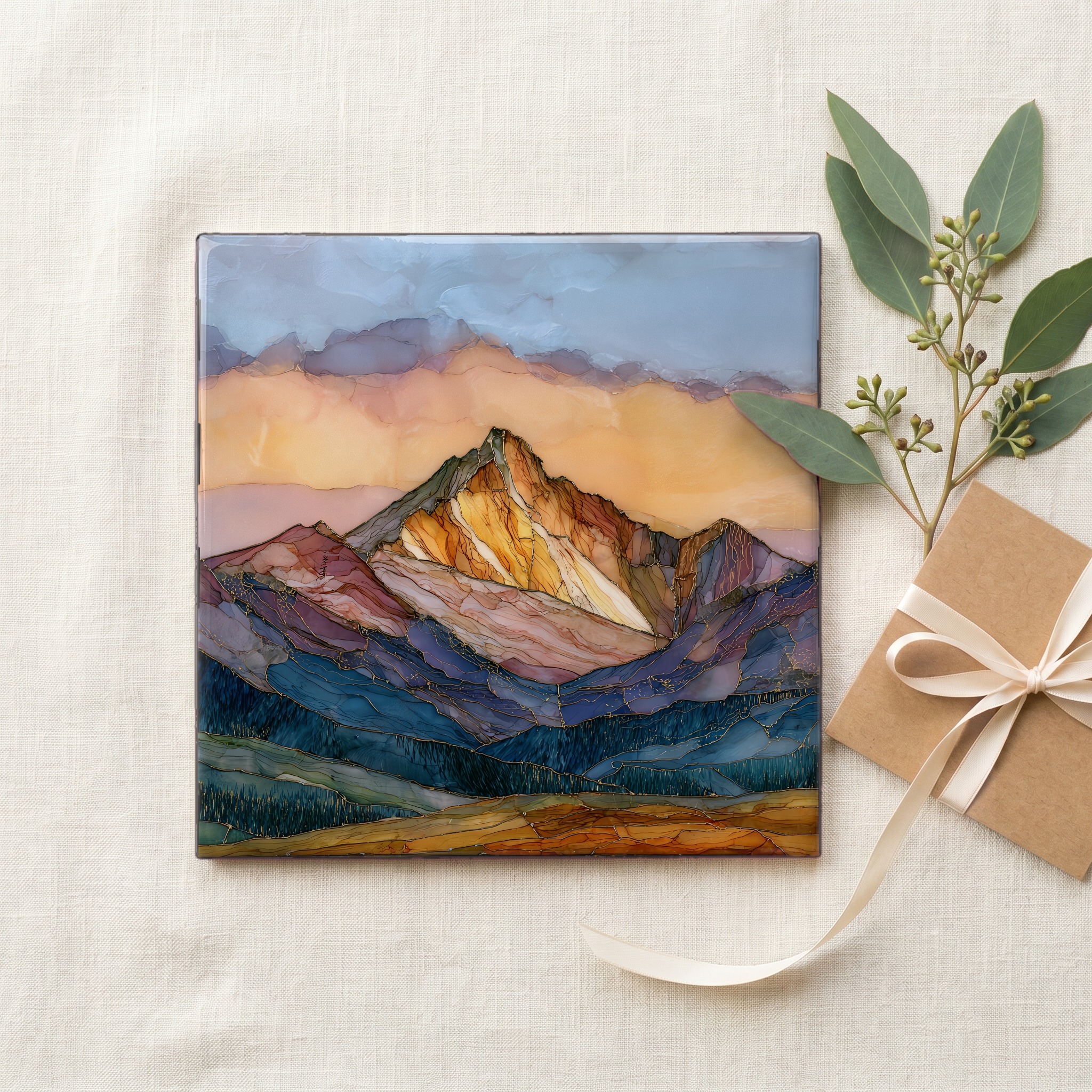
Each tile ships in a kraft box, tied with cream ribbon, with a handwritten note from the studio if you'd like to add one.
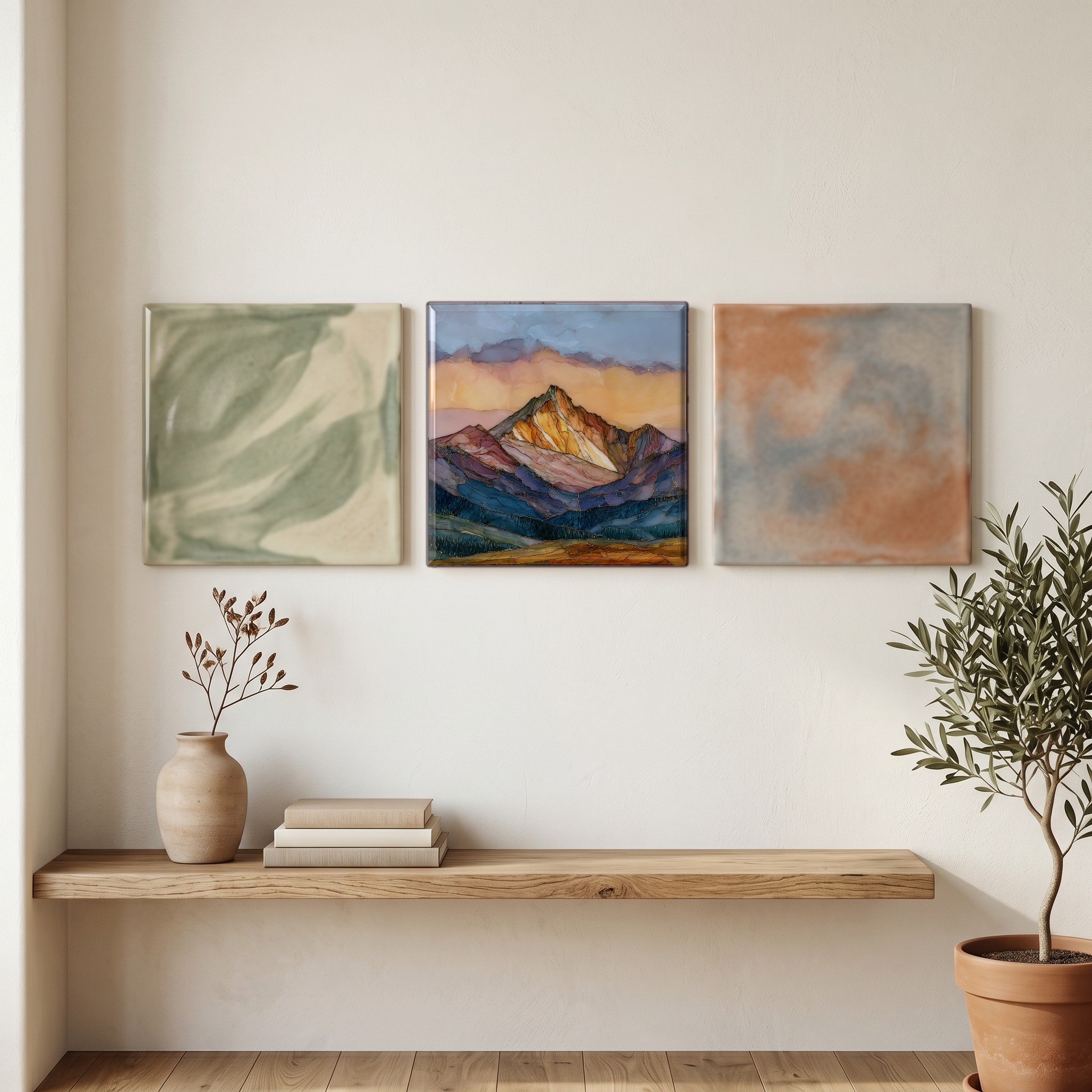
Three or five different vistas, hung together — a chapter of places you've been, or want to go.
The place, in three passes.
Mount Yale stands at 14,200 feet (4,328 m) in the Sawatch Range, the spine of high peaks that runs north to south through central Colorado. It sits inside the Collegiate Peaks Wilderness, 167,000 acres of the San Isabel and Gunnison National Forests set aside by Congress in 1980. The summit lies in Chaffee County, about twelve miles west of the town of Buena Vista on County Road 306, and is reached on foot from the Denny Creek Trailhead. Josiah Dwight Whitney named the peak in 1869 for his alma mater, on the survey that also gave its neighbours the names Harvard, Princeton, Columbia, and Oxford. Whitney's party made the first recorded ascent that summer.
Above 14,000 feet, the air holds only about 60% of the oxygen pressure at sea level. Most climbers acclimatize at Buena Vista (around 8,000 feet) or higher for a day before the attempt. The Southwest Slopes route gains roughly 4,500 feet over nine and a half miles round trip, the last thousand on broken talus and granite blocks. Summer afternoons build cumulus by late morning. The rule on every fourteener, including the four other Collegiates Whitney named, is to start before dawn and turn for the descent by noon. Lightning is among the leading causes of fatality on Colorado's high peaks. Above treeline, there is nothing to stand under.
The climbing season runs roughly from mid-June to late September, after the deep snow has cleared the Southwest Slopes and before the first autumn storms close the high country. The route begins at the Denny Creek Trailhead on County Road 306, about twelve miles west of Buena Vista, follows the Browns Pass Trail through subalpine forest, then branches onto the Mount Yale Trail and climbs the southwest face. The round trip is about 9.5 miles with roughly 4,300 feet of elevation gain, a Class 2 walk on talus and scree. There is no permit, no fee, and no quota. The closest beds are in Buena Vista; the closest hot springs are at Mount Princeton Hot Springs, half an hour south.