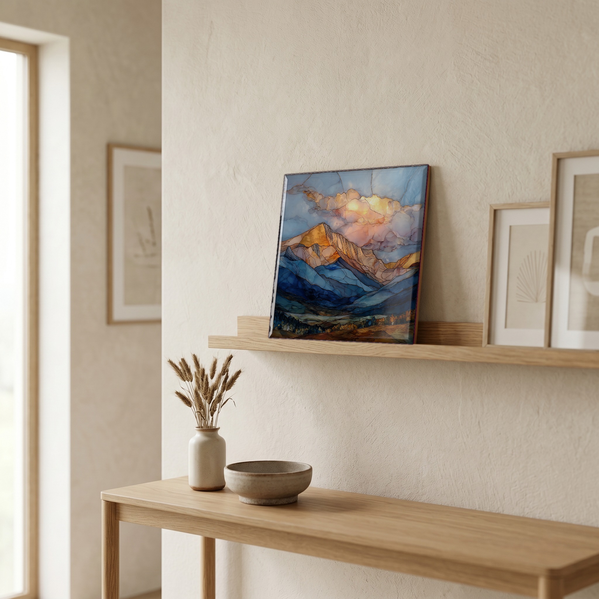
Mount Princeton Collegiate Peaks Sawatch Range Ceramic Art Tile
— chalk where the snow should be.
Not only on a wall.

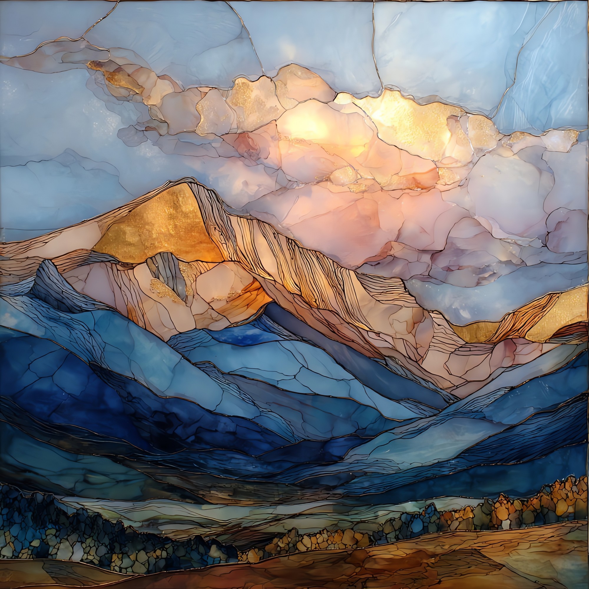
“One of the eastern Sawatch fourteeners. Mount Princeton stands apart from its Collegiate neighbours. Yale and Harvard sit deeper in the range; Princeton steps forward, above the Arkansas River Valley. Two things make the mountain. The Chalk Cliffs on the southeast flank, which are not chalk at all but weathered feldspar gone soft and white, visible from the highway and often mistaken for snow into August. And the hot springs that surface at the foot. Water that fell as snow on the summit returns warm, after a slow trip through the rock. The peak gets the light first in the morning and last at dusk, and the cliffs glow before the summit does.
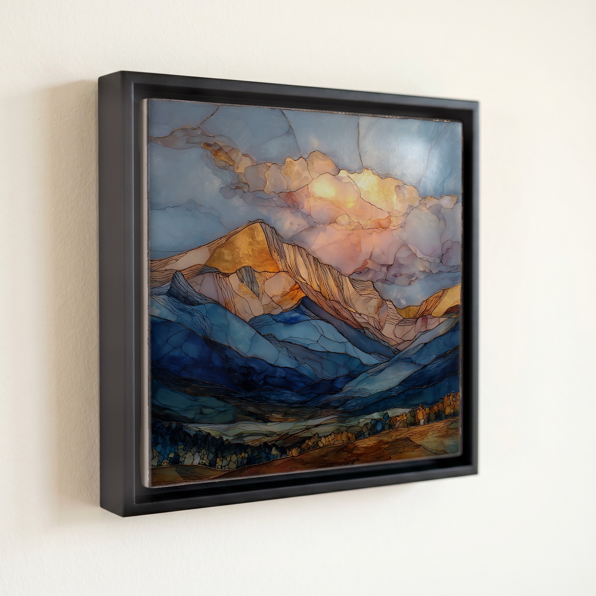
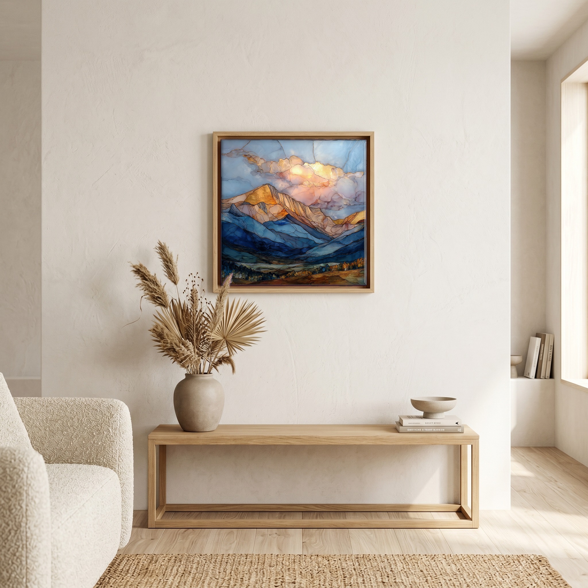
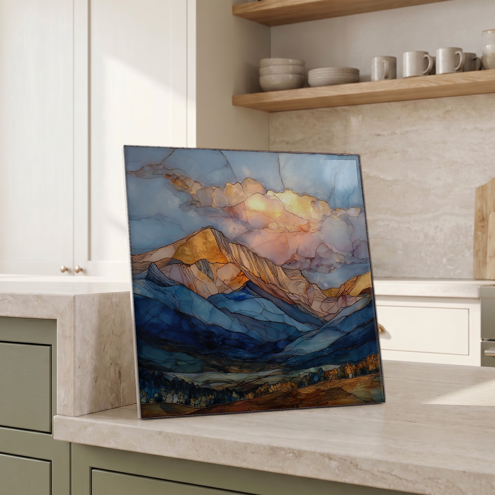
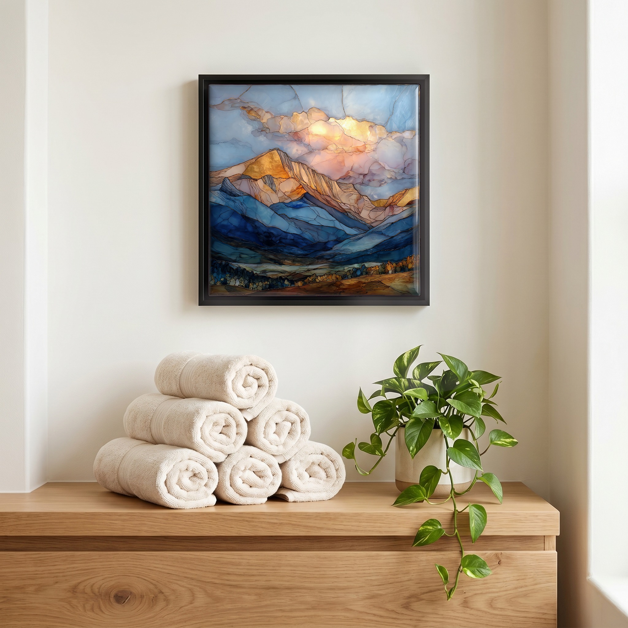
Mount Princeton Collegiate Peaks Sawatch Range Ceramic Art Tile, on ceramic.
Each tile is finished by hand in our Knoxville studio. Artwork is slowly infused into the ceramic surface under high heat and pressure, and rests beneath a thin glossy finish. The colour lives in the surface, not on top of it.
Pick any four 4-inch tiles — National Parks you've been to, a Smokies set, the four seasons of one place. $ for a set of , cork-backed, ready to live on the table.
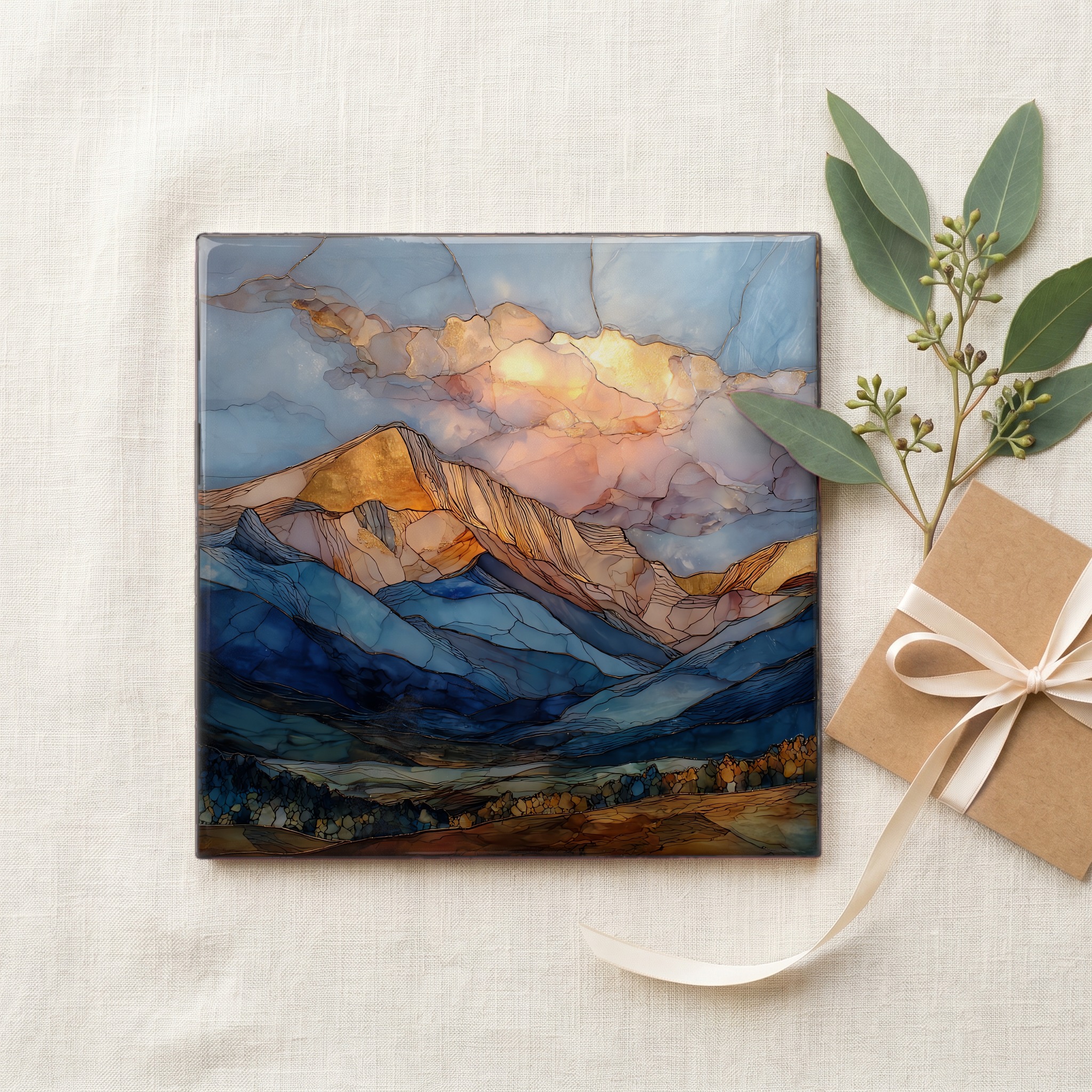
Each tile ships in a kraft box, tied with cream ribbon, with a handwritten note from the studio if you'd like to add one.

Three or five different vistas, hung together — a chapter of places you've been, or want to go.
The place, in three passes.
Mount Princeton rises to 14,204 feet on the eastern edge of the Sawatch Range, the chain that holds more of Colorado's fourteeners than any other. It sits in Chaffee County, about 8 miles southwest of the town of Buena Vista, with the Arkansas River running below in the valley to the east. The peak is one of the Collegiate Peaks, a cluster named in 1869 by Henry Gannett of the Hayden Geological Survey for his alma mater. Harvard, Yale, Columbia and Oxford share the same range. Most of the upper mountain falls within the Collegiate Peaks Wilderness, a roughly 168,000-acre protected area jointly managed by the San Isabel and White River National Forests, designated wilderness by Congress in 1980.
The mountain's most visible feature is not its summit but its skirt. The Chalk Cliffs streak white across the southeast flank, rising more than a thousand feet above Chalk Creek and visible for miles up and down US Highway 285. The rock is not chalk. It is quartz monzonite altered by ancient hydrothermal activity, the feldspar weathered to kaolinite, a soft white clay that erodes constantly and refreshes the cliff face as the older surface falls away. The cliffs sit well below the alpine zone, so they show even in late summer when the actual snow on the summit has gone. They are also the giveaway: anyone seeing them from the highway and reaching for the word snow has not yet looked twice.
Mount Princeton is reached from Nathrop, a small town on US Highway 285 about 9 miles south of Buena Vista. The standard summit route follows a 4WD road up the south flank to roughly 11,000 feet, then continues on foot. From there it is a Class 2 scramble of about 6 miles round-trip; climbers without 4WD walk more. Most attempts run from late June through September, snow conditions allowing. Many visitors come not for the climb but for Mount Princeton Hot Springs, the resort at the base of the Chalk Cliffs where the same geothermal system that softened the feldspar surfaces as warm pools along Chalk Creek. The pools stay open through every season.