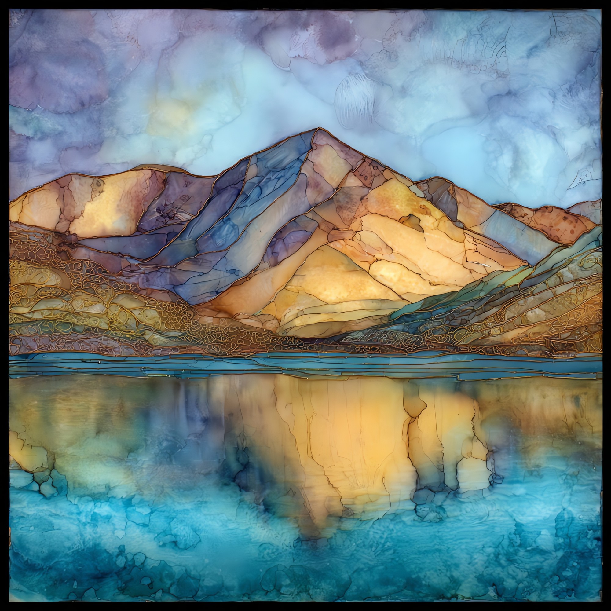
Mount Elbert highest peak Sawatch Range Ceramic Art Tile
— — the broad shoulder above everything else.
Not only on a wall.


“The highest summit in the Rocky Mountains, in the middle of the Sawatch Range west of Leadville. It does not look like the tallest from below. Mount Massive next door takes more of the eye, and from Twin Lakes the ridge is just one shoulder among many. The trail goes up through lodgepole and spruce, then above the trees, then onto rocky tundra where the air thins. People walk it in a long day in July and August. Nothing technical. Just slope and weather and time.
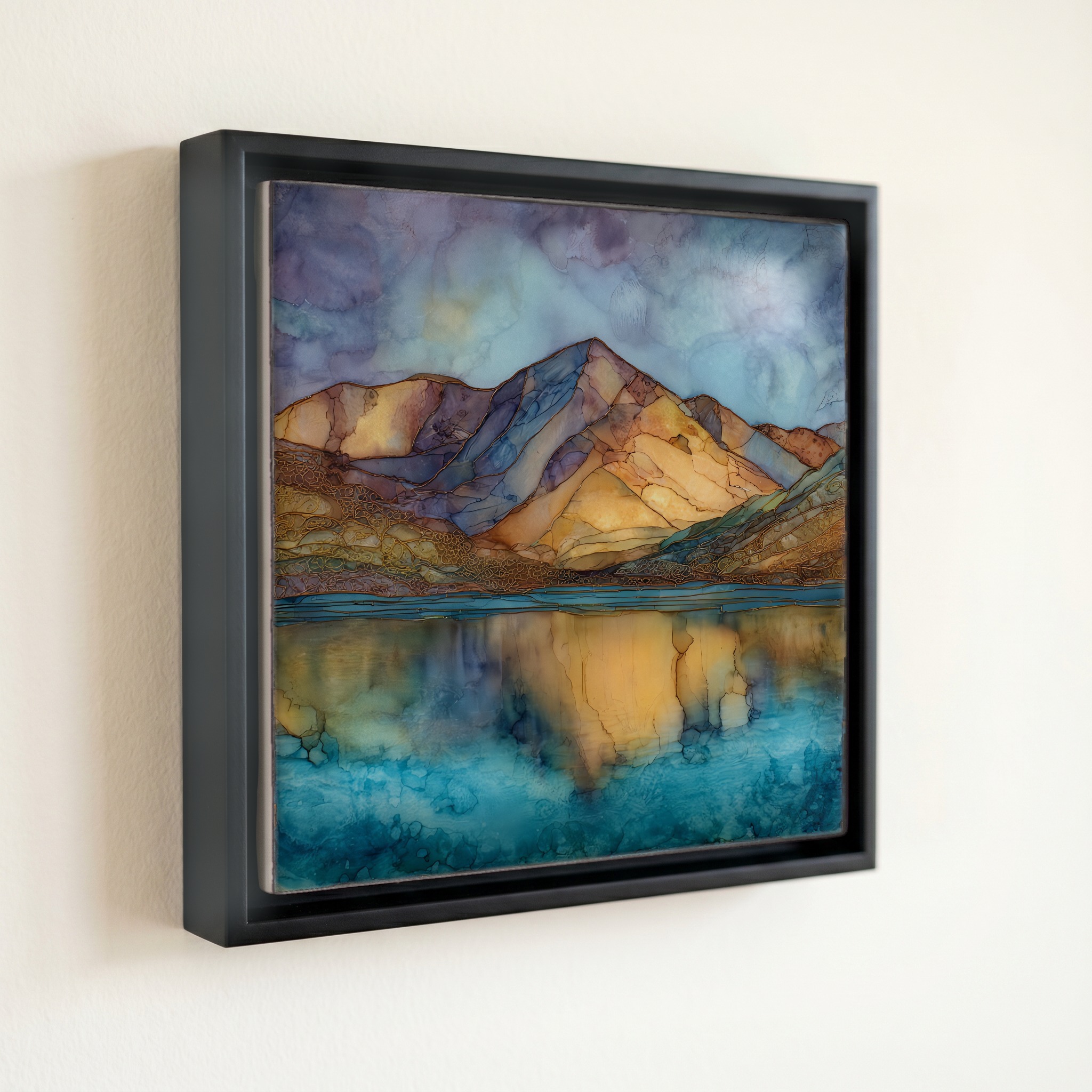
Mount Elbert highest peak Sawatch Range Ceramic Art Tile, on ceramic.
Each tile is finished by hand in our Knoxville studio. Artwork is slowly infused into the ceramic surface under high heat and pressure, and rests beneath a thin glossy finish. The colour lives in the surface, not on top of it.
Pick any four 4-inch tiles — National Parks you've been to, a Smokies set, the four seasons of one place. $ for a set of , cork-backed, ready to live on the table.

Each tile ships in a kraft box, tied with cream ribbon, with a handwritten note from the studio if you'd like to add one.

Three or five different vistas, hung together — a chapter of places you've been, or want to go.
The place, in three passes.
Mount Elbert rises to 14,440 feet (4,401 metres) in the Sawatch Range of central Colorado, making it the highest peak in the Rocky Mountains and the second-highest summit in the contiguous United States after California's Mount Whitney. It sits in Lake County within San Isabel National Forest, roughly 12 miles southwest of Leadville and just above Twin Lakes Reservoir. The peak is named for Samuel Hitt Elbert, the Territorial Governor of Colorado in 1873 to 1874. Its closest fourteener neighbour, Mount Massive, stands only about a dozen feet lower and rises directly to the north across the Halfmoon Creek valley.
At 14,440 feet, atmospheric pressure is roughly 60 percent of sea level, so each breath on the summit delivers about 60 percent of the oxygen available at the coast. Altitude sickness is common on the climb, and common guidance, including from the Colorado Mountain Club, is to spend at least one night acclimatising in Leadville (10,152 feet) before attempting the peak. Weather builds fast over the Sawatch in summer, with afternoon thunderstorms forming most days in July and August. Climbers who leave the trailhead before sunrise and reach the summit by late morning generally beat the lightning. Above 11,500 feet the lodgepole forest gives way to alpine tundra, a thin band of cushion plants, lichen, and bare granite.
Two non-technical routes reach the summit: the Northeast Ridge from the Mount Elbert Trailhead and the East Ridge from the South Mount Elbert Trailhead, both off County Road 11. Each is rated Class 1, meaning steep walking on a marked path with no scrambling required. Round-trip distance runs about 9 miles with 4,500 feet of elevation gain, and most fit hikers finish in 7 to 10 hours. The window is mid-June through late September, after the snowpack melts and before winter storms close the high passes. There is no fee, no permit, and no quota. The first recorded ascent was made in 1874 by H.W. Stuckle of the Hayden Geological Survey.