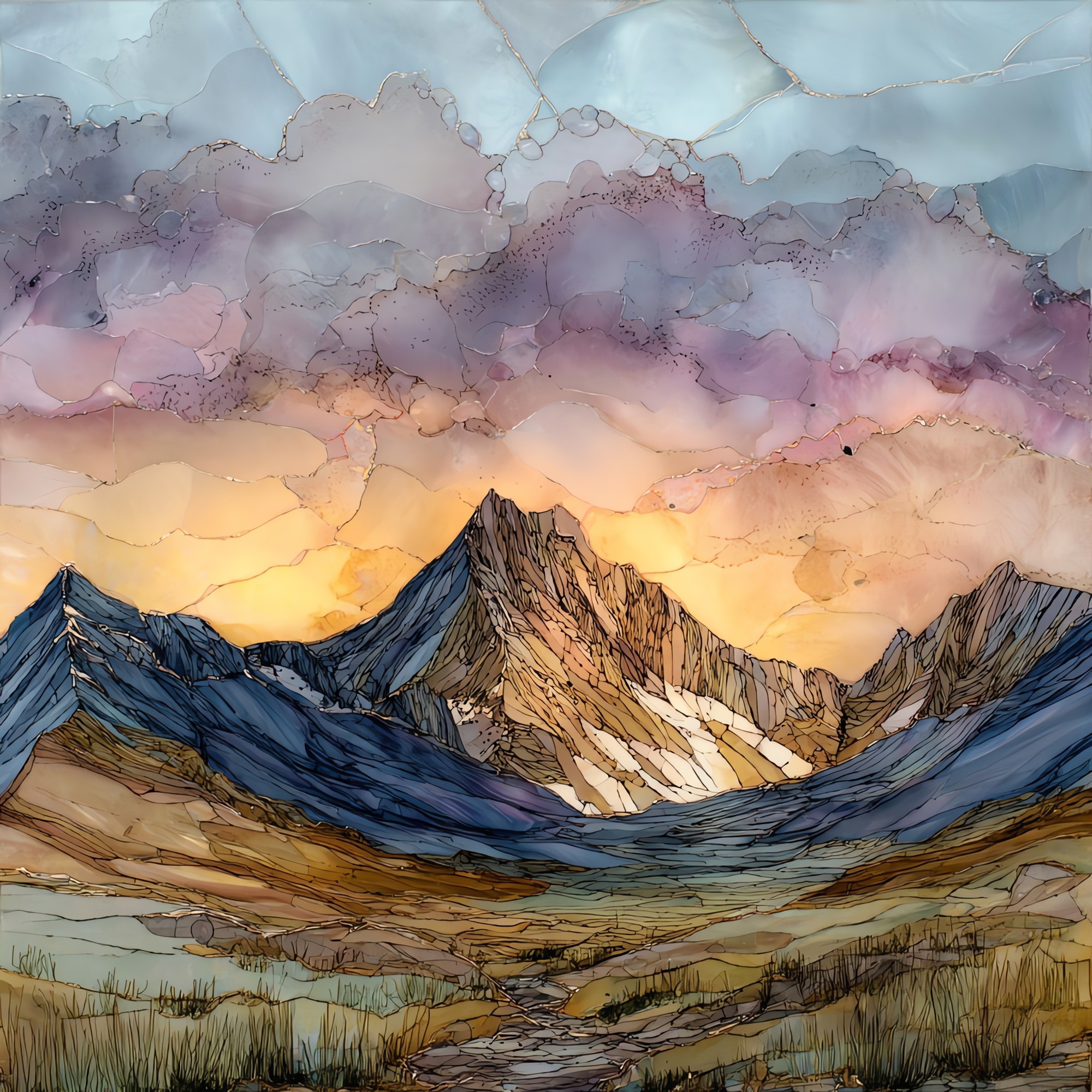
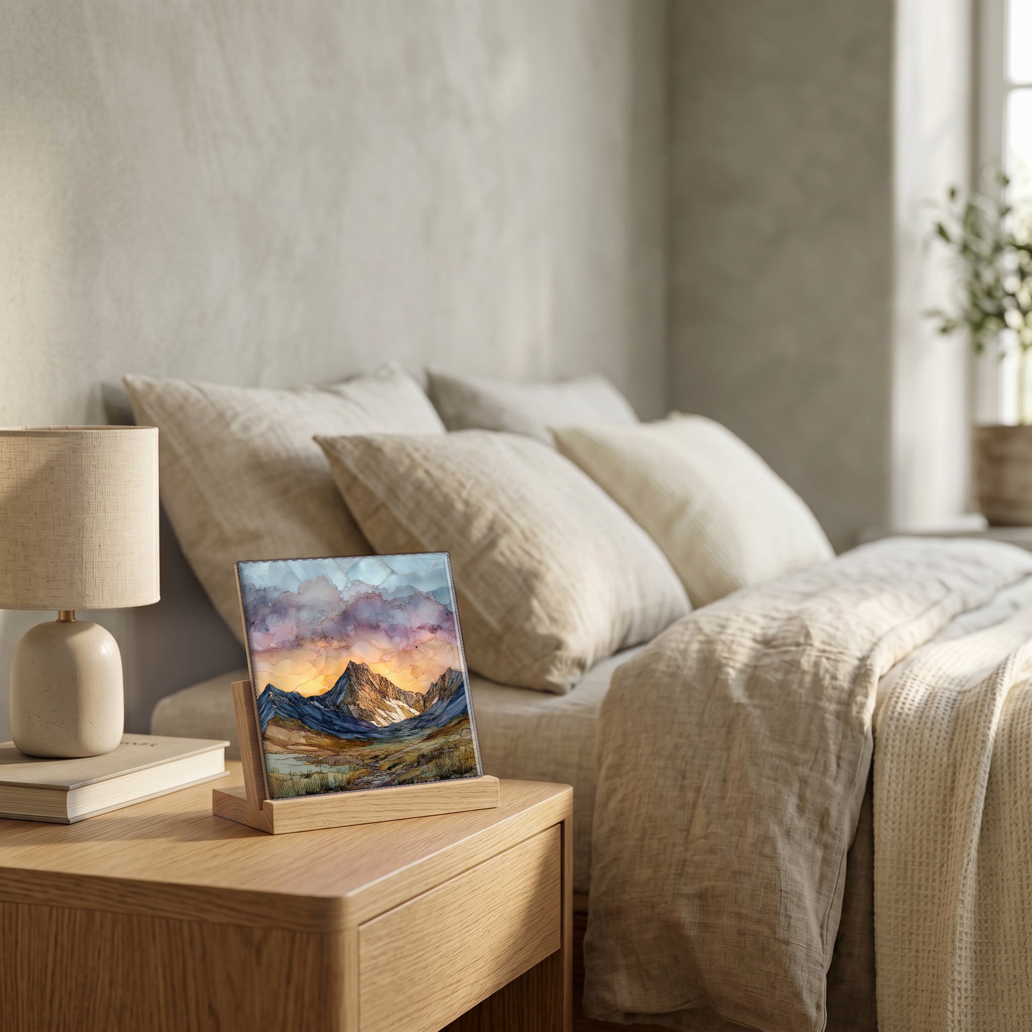
Mount Bierstadt at sunrise Front Range Ceramic Art Tile
— the minute the granite turns gold.
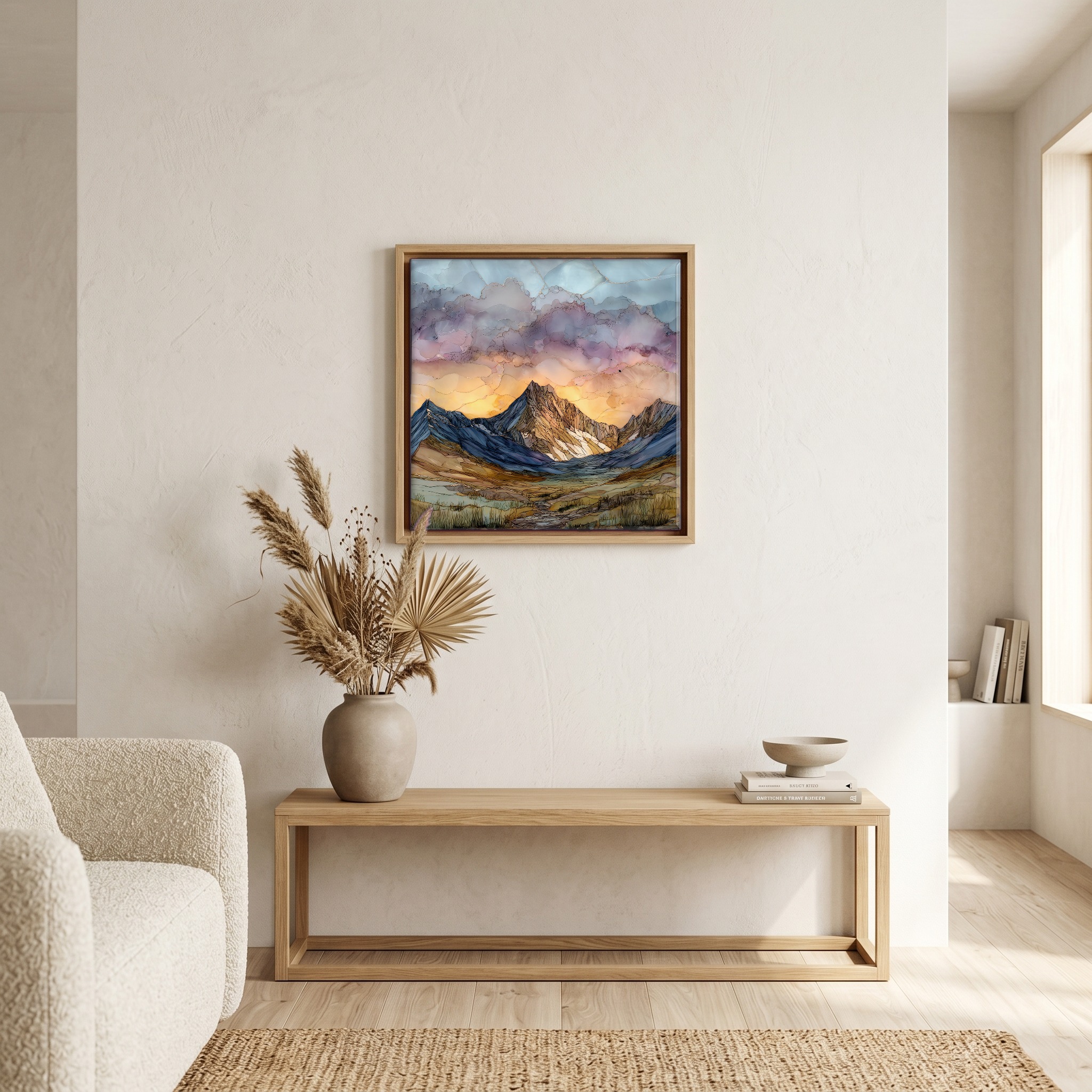
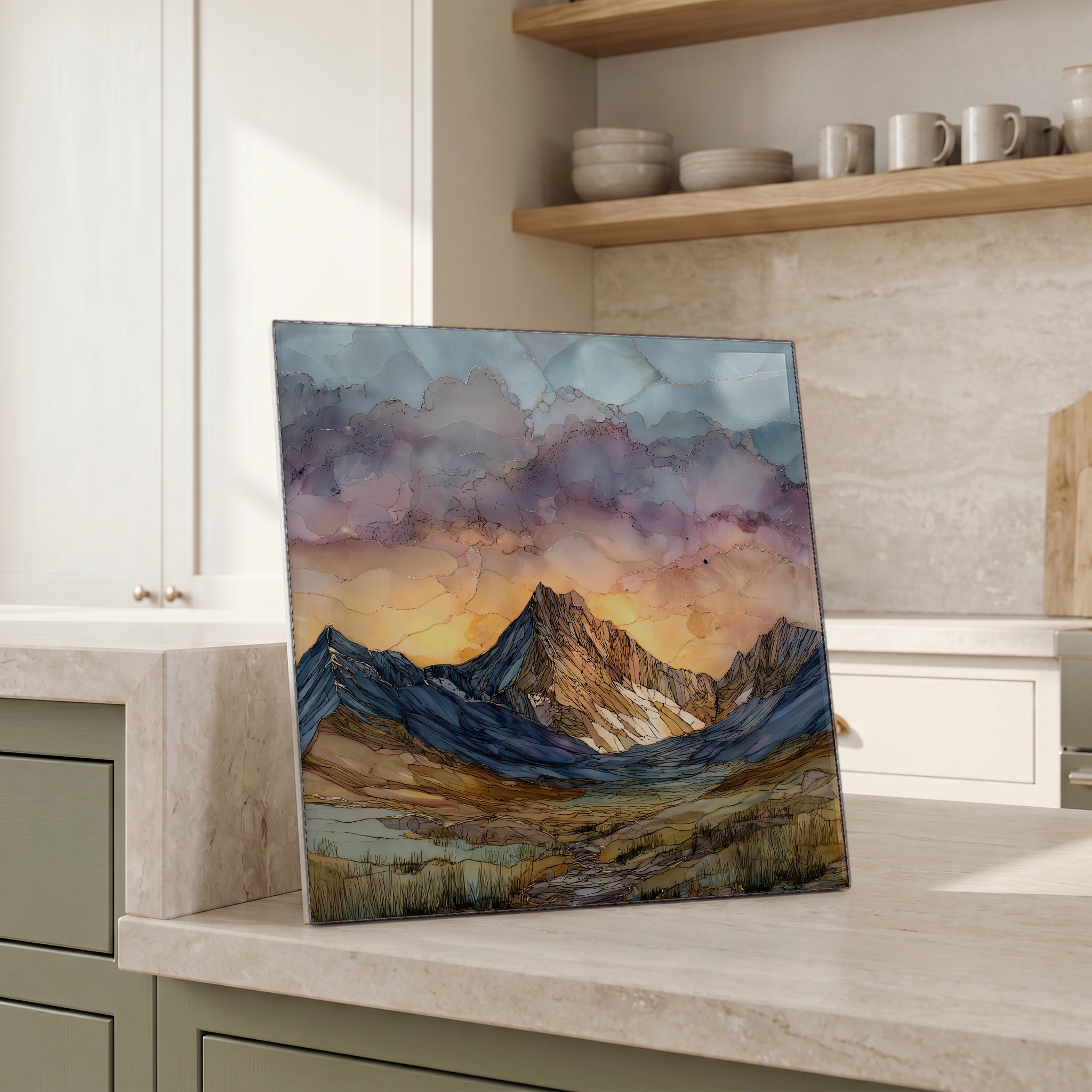
Not only on a wall.

“A fourteen-thousand-foot peak in the Front Range, west of Denver. The standard route climbs from Guanella Pass through a willow basin, then up the long west slope to a small summit cap. Hikers leave the trailhead in the dark to be on the top by first light. The granite holds the colour for a few minutes before the wind picks up and the rest of the range – Mount Blue Sky, Grays, Torreys – comes out of the blue.
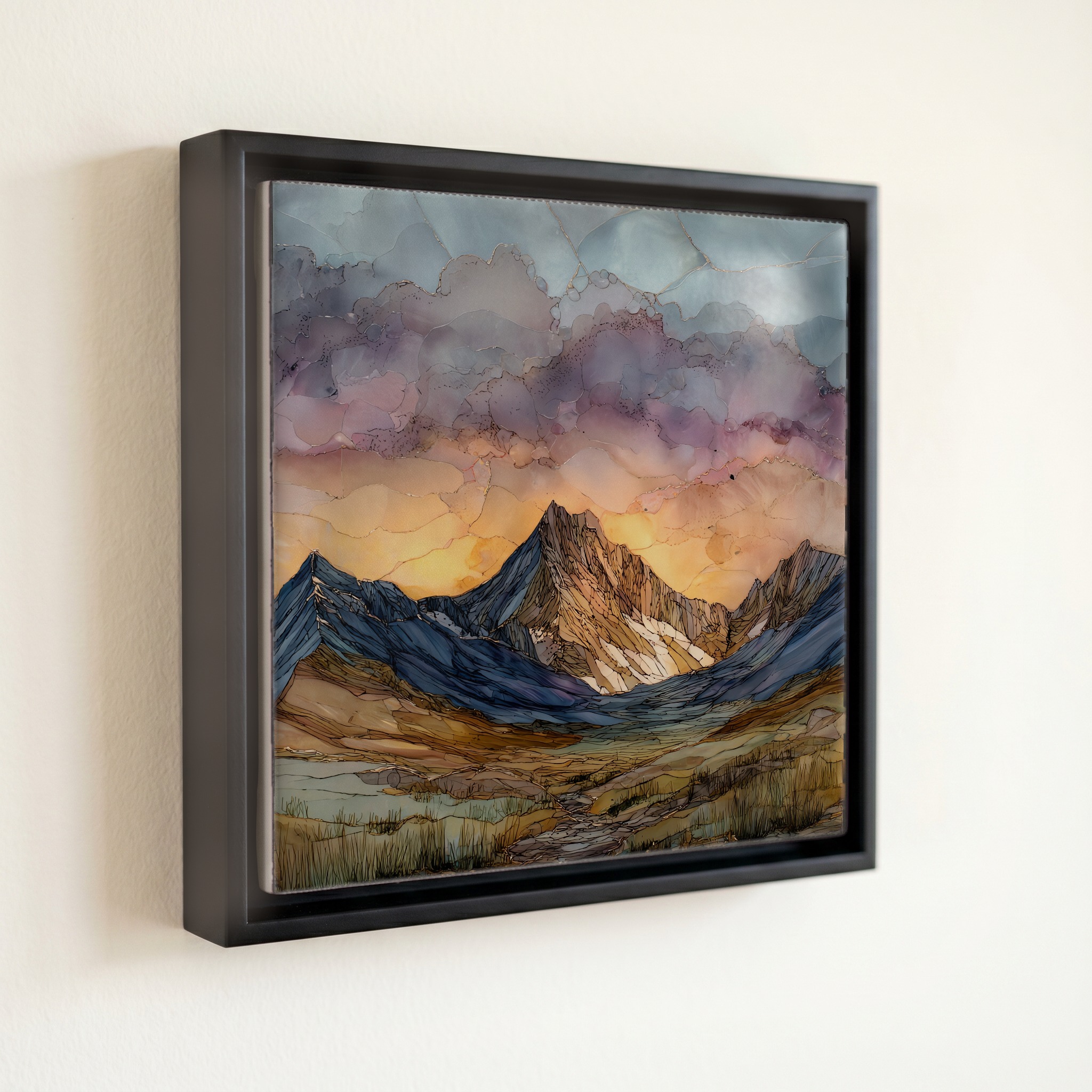
Mount Bierstadt at sunrise Front Range Ceramic Art Tile, on ceramic.
Each tile is finished by hand in our Knoxville studio. Artwork is slowly infused into the ceramic surface under high heat and pressure, and rests beneath a thin glossy finish. The colour lives in the surface, not on top of it.
Pick any four 4-inch tiles — National Parks you've been to, a Smokies set, the four seasons of one place. $ for a set of , cork-backed, ready to live on the table.
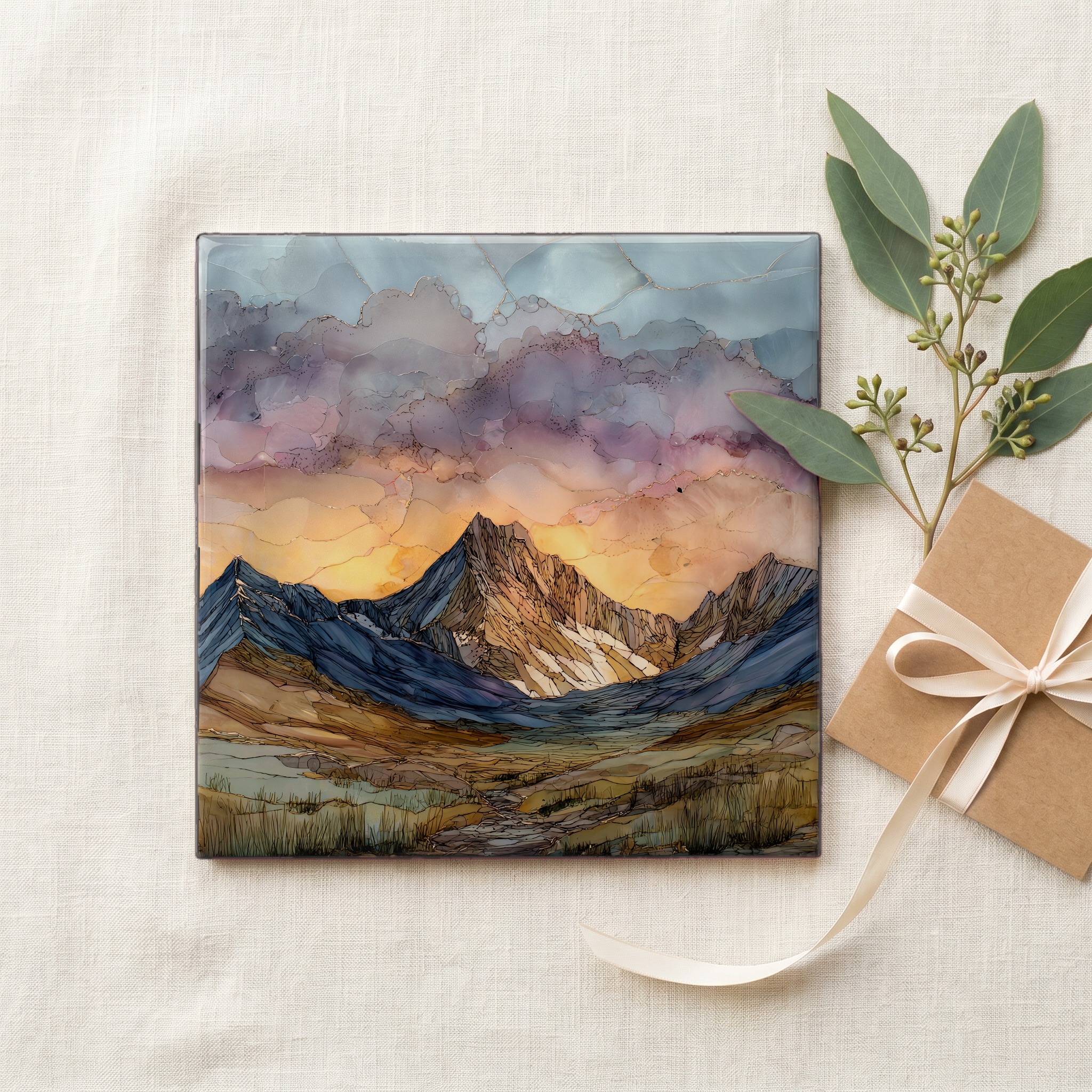
Each tile ships in a kraft box, tied with cream ribbon, with a handwritten note from the studio if you'd like to add one.
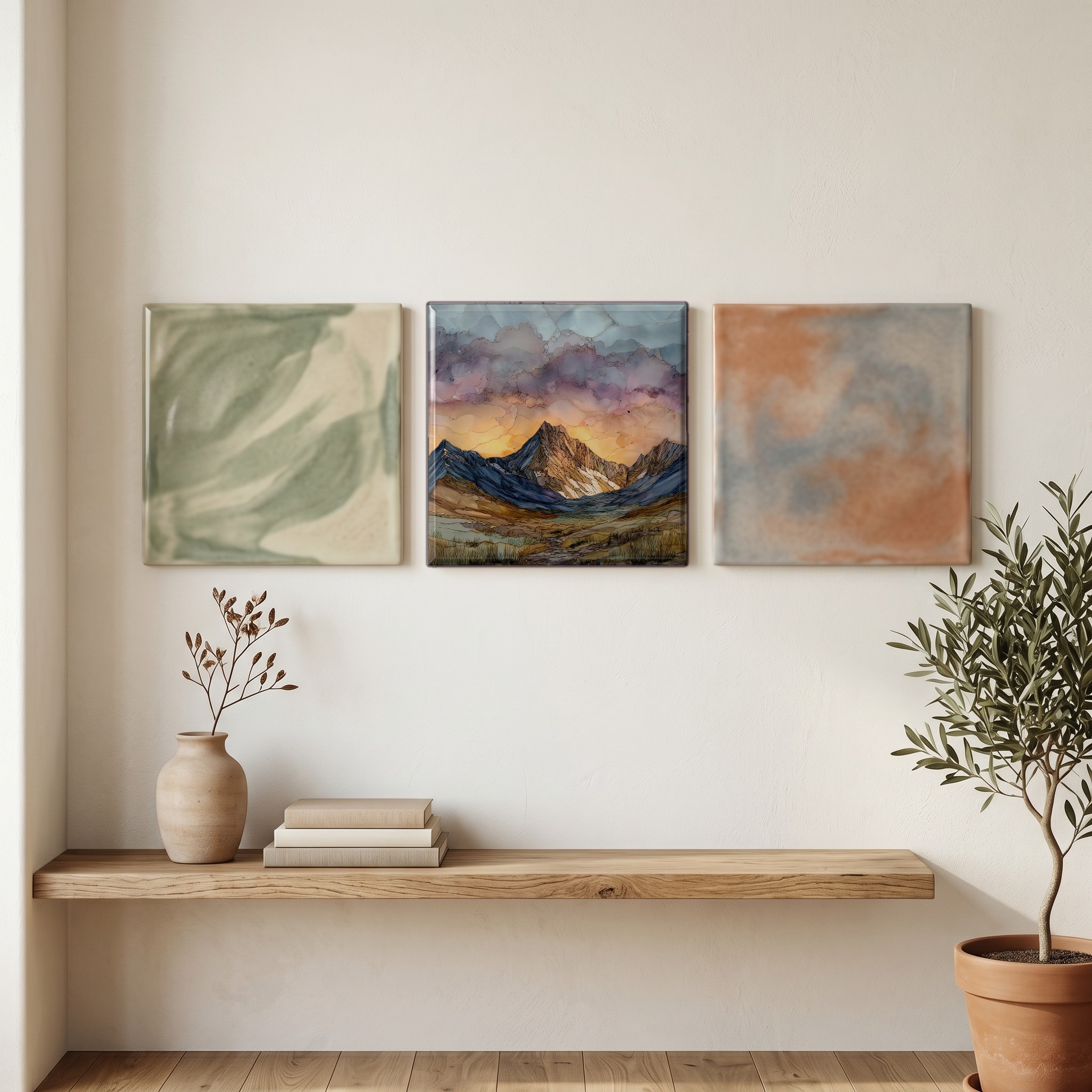
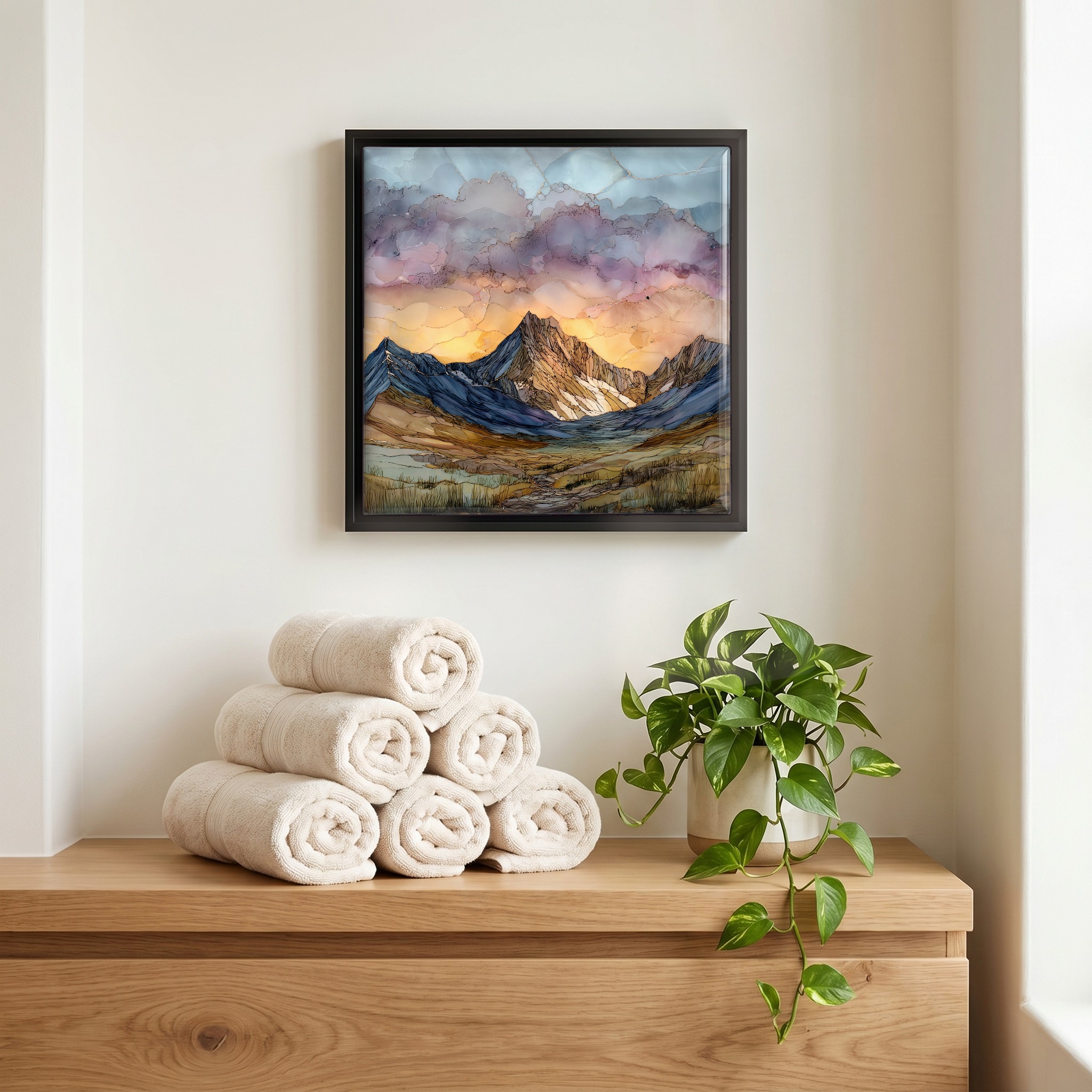
Three or five different vistas, hung together — a chapter of places you've been, or want to go.
The place, in three passes.
Mount Bierstadt rises to 14,065 feet on the western edge of the Mount Blue Sky Wilderness, in Clear Creek County, Colorado. It is one of the state's fifty-eight peaks above 14,000 feet, set on the eastern flank of the Front Range about sixty miles west of Denver. The standard route leaves the Guanella Pass trailhead at 11,669 feet and climbs the west slope through a long willow basin to the summit cap, gaining about 2,850 feet over three and a half miles. The peak was named for Albert Bierstadt, the German-American landscape painter who climbed it with the Rocky Mountain News publisher William N. Byers and a small party in 1863 and made the first recorded ascent.
Hikers leave Guanella Pass in the dark to be on the summit at first light. Afternoon thunderstorms build over the Front Range almost daily from June through August, so the unwritten rule is to be off the ridge by noon. A 3 a.m. start puts a moving party at the saddle as the eastern sky begins to soften, and on the cap as the sun clears the plains. For a few minutes the granite holds an orange that the rest of the day will not return, and the view opens north to Grays and Torreys, east to Mount Blue Sky across the Sawtooth ridge.
At 14,000 feet the air carries about sixty percent of the oxygen available at sea level, and the willow basin at the base of the climb sits about two thousand feet below that. The basin is the famous part of the route: a dense, knee-deep forest of dwarf willow that defeated hikers for decades until the Colorado Fourteeners Initiative built a boardwalk and rebuilt the trail through it in the late 2000s. Bull elk water in the creeks before dawn. Above the willows the route opens to short grass, scree, and the granite of the upper ridge, and the only sound is wind across the cap and the breathing of whoever is climbing it.