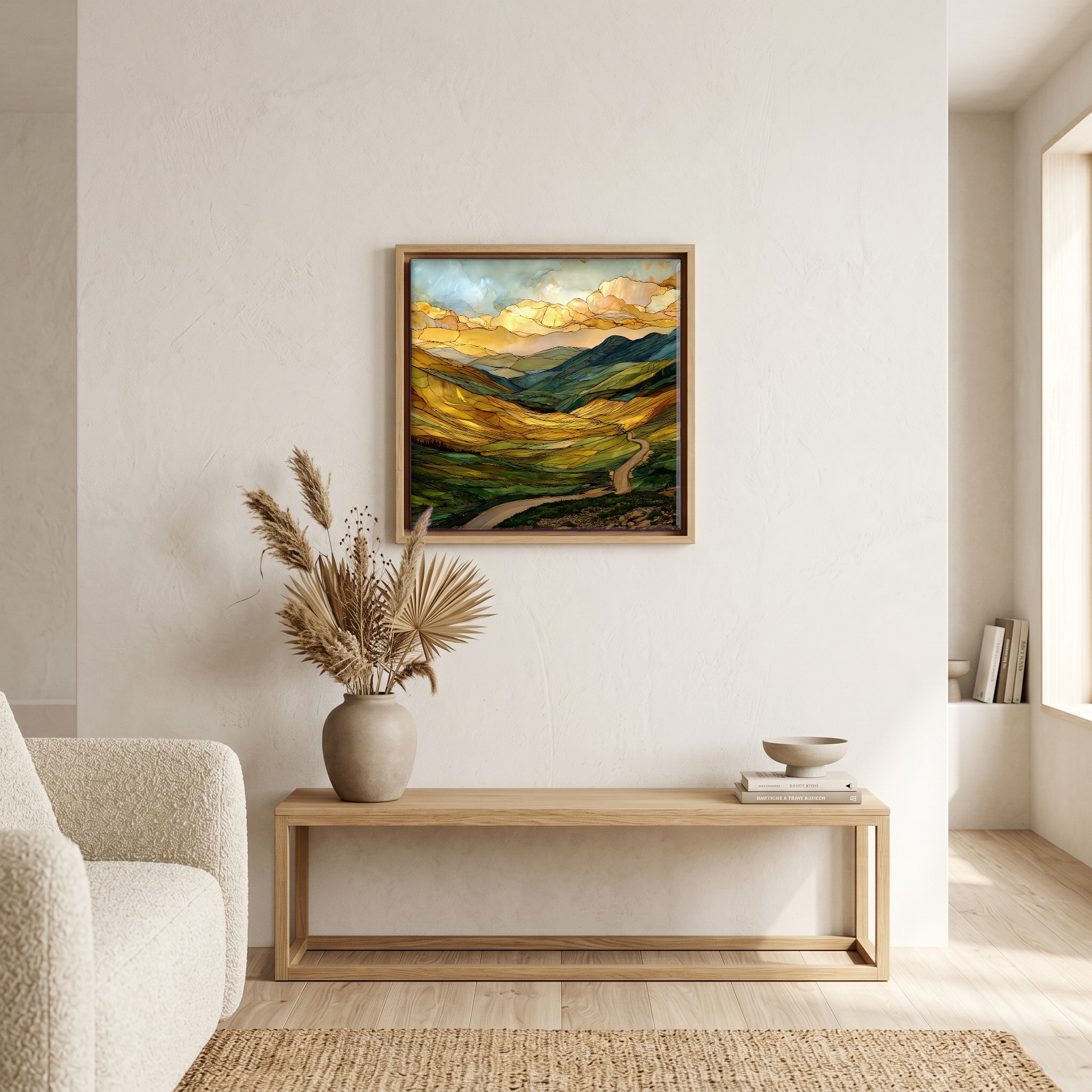
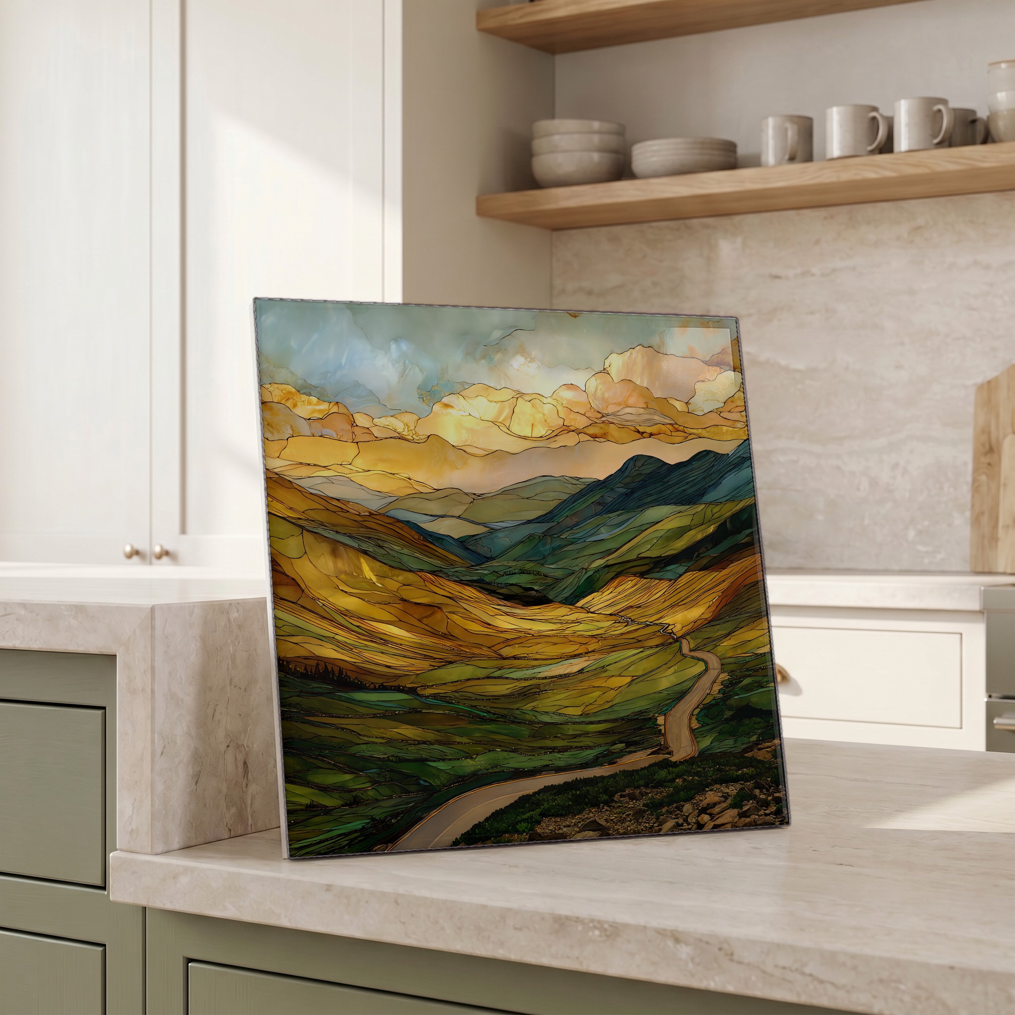
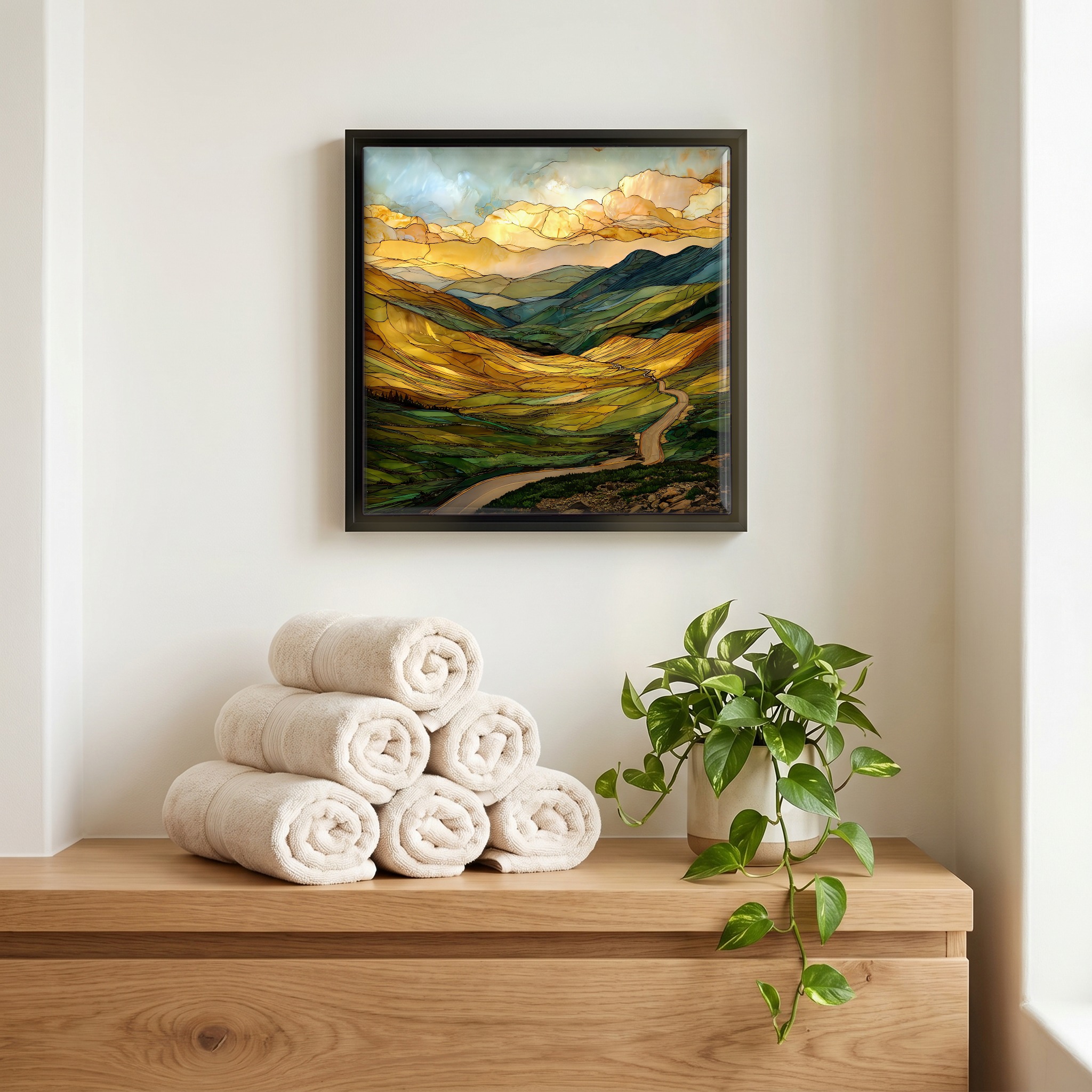
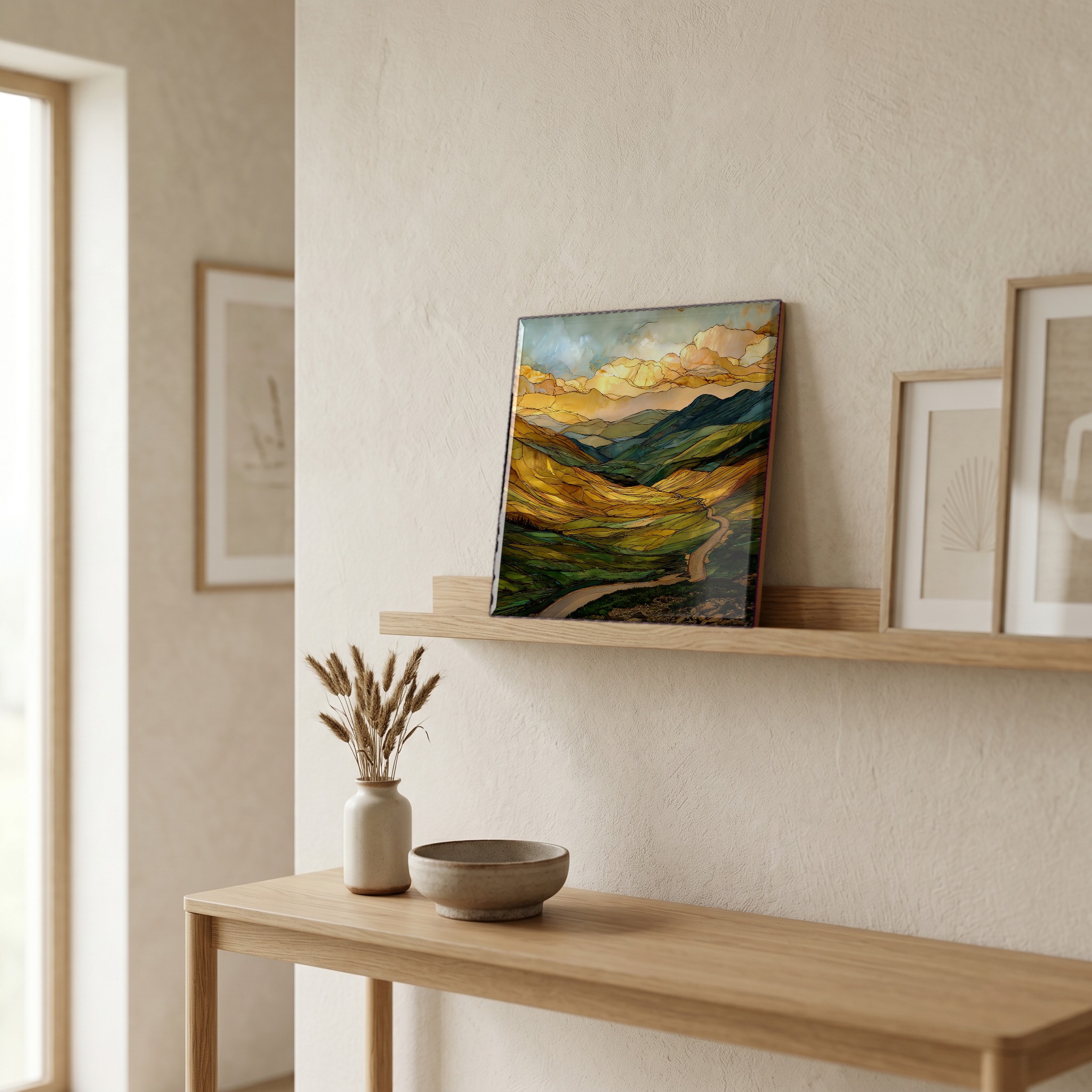
Many Parks Curve Rocky Mountain National Park Ceramic Art Tile
— — a curve in the road, four valleys wide.
Not only on a wall.

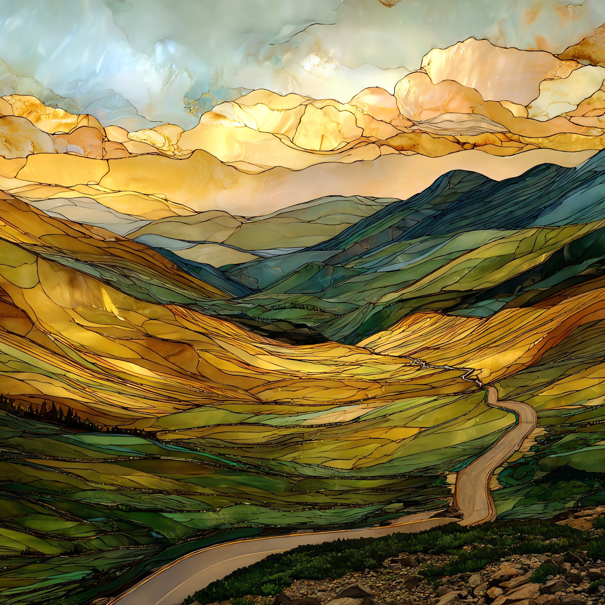
“A pullout on Trail Ridge Road, above the town of Estes Park, where the highway turns and the floor of the world opens beneath you. The Rockies use the word park for a flat meadow held inside the mountains, and from this curve you can see four of them at once: Moraine, Horseshoe, Beaver Meadows, and Estes Park itself. Green in summer, gold by September. Longs Peak sits to the south. The Mummy Range to the north. The stone wall at the lip was set by the Civilian Conservation Corps in the 1930s. People mostly stand at it without talking.
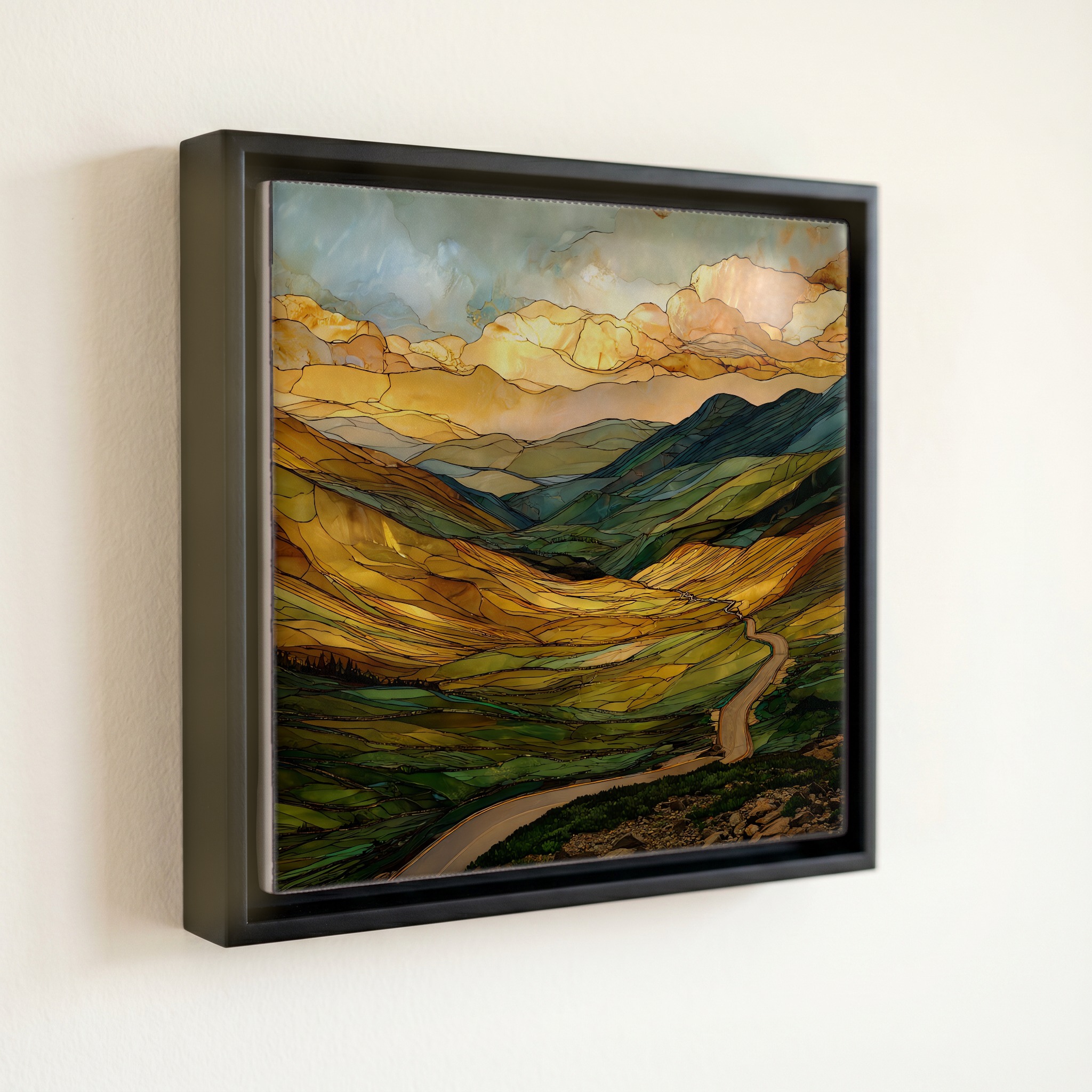
Many Parks Curve Rocky Mountain National Park Ceramic Art Tile, on ceramic.
Each tile is finished by hand in our Knoxville studio. Artwork is slowly infused into the ceramic surface under high heat and pressure, and rests beneath a thin glossy finish. The colour lives in the surface, not on top of it.
Pick any four 4-inch tiles — National Parks you've been to, a Smokies set, the four seasons of one place. $ for a set of , cork-backed, ready to live on the table.
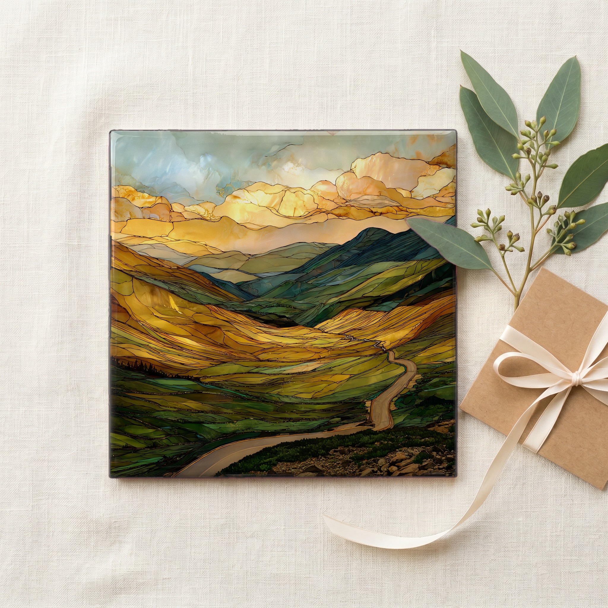
Each tile ships in a kraft box, tied with cream ribbon, with a handwritten note from the studio if you'd like to add one.

Three or five different vistas, hung together — a chapter of places you've been, or want to go.
The place, in three passes.
Many Parks Curve is a pullout on Trail Ridge Road, the highway that carries U.S. Route 34 across the Continental Divide through Rocky Mountain National Park in Colorado. The curve sits at roughly 9,620 feet on the road's eastern climb, about four miles up from the Beaver Meadows Entrance Station outside the town of Estes Park. Trail Ridge is the highest continuously paved through-road in the United States, topping out at 12,183 feet at Iceberg Pass before dropping toward Grand Lake on the western side. The 'parks' the curve is named for are not playgrounds: in Rocky Mountain usage, a park is a flat, grass-floored valley held between ridges, and from this overlook four of them fit into one view.
The view exists because the ground falls away. The pullout sits roughly 2,000 feet above the floor of Estes Park, which is why four meadows can fit into one frame: you are looking down into them, not across at them. The air at 9,620 feet holds about 70 percent of the oxygen at sea level, and visitors who drive up from the plains often notice the altitude in the first ten minutes of walking the stone wall. The Mummy Range crowds the northern horizon. Longs Peak, the only fourteen-thousand-foot summit in the park at 14,259 feet, sits to the south. The light up here is unfiltered enough that the Park Service warns drivers about glare on summer afternoons.
Trail Ridge Road typically opens around Memorial Day weekend in late May and closes in mid-October once snow makes the high stretches impassable. The window is roughly six months long, dictated by the high country, not the calendar. From the curve, Beaver Meadows and Moraine Park run pale green in June, deepen through July and August, and turn a slow gold through September as the aspens light up the slopes around the meadow edges. Elk move down into the parks in late September for the rut, and the bugling carries up to the overlook on still mornings. Once the gate closes for winter, the curve is unreachable by car until the road reopens the following spring.