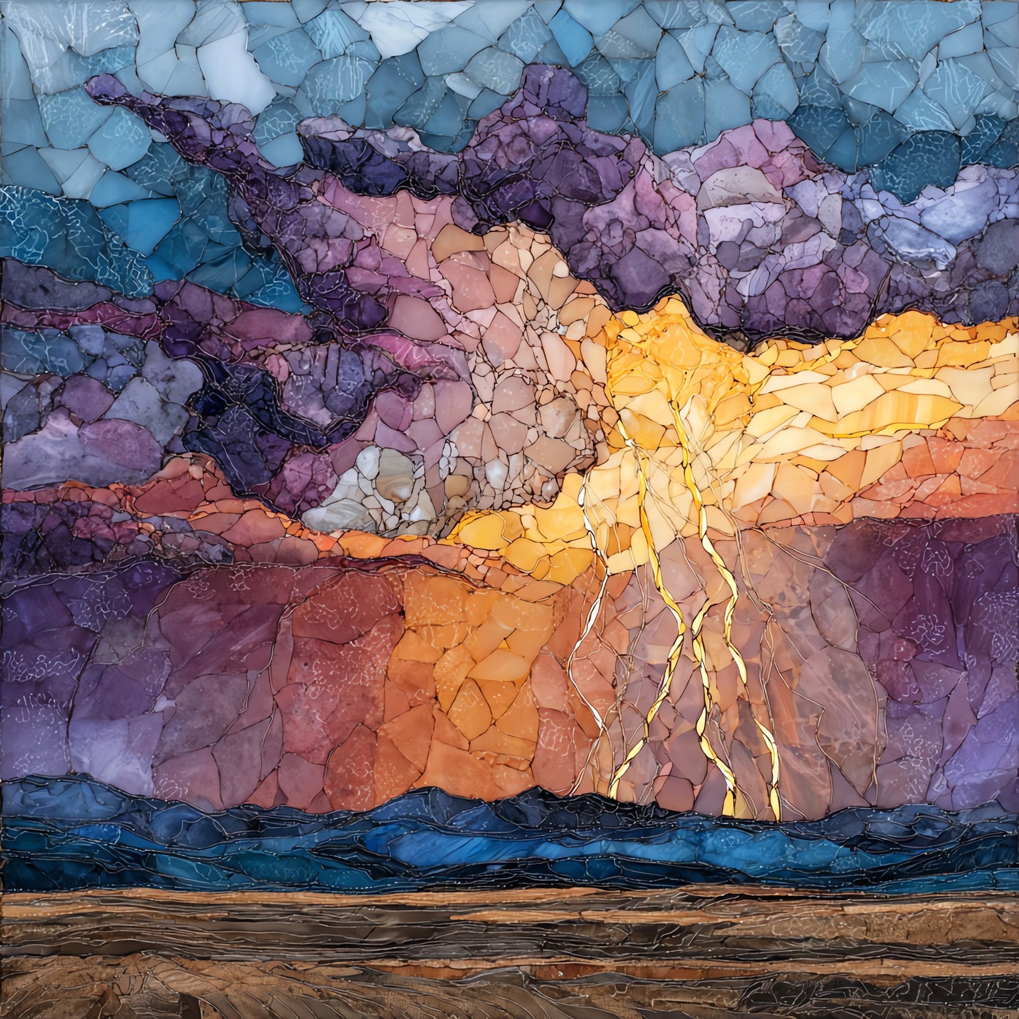
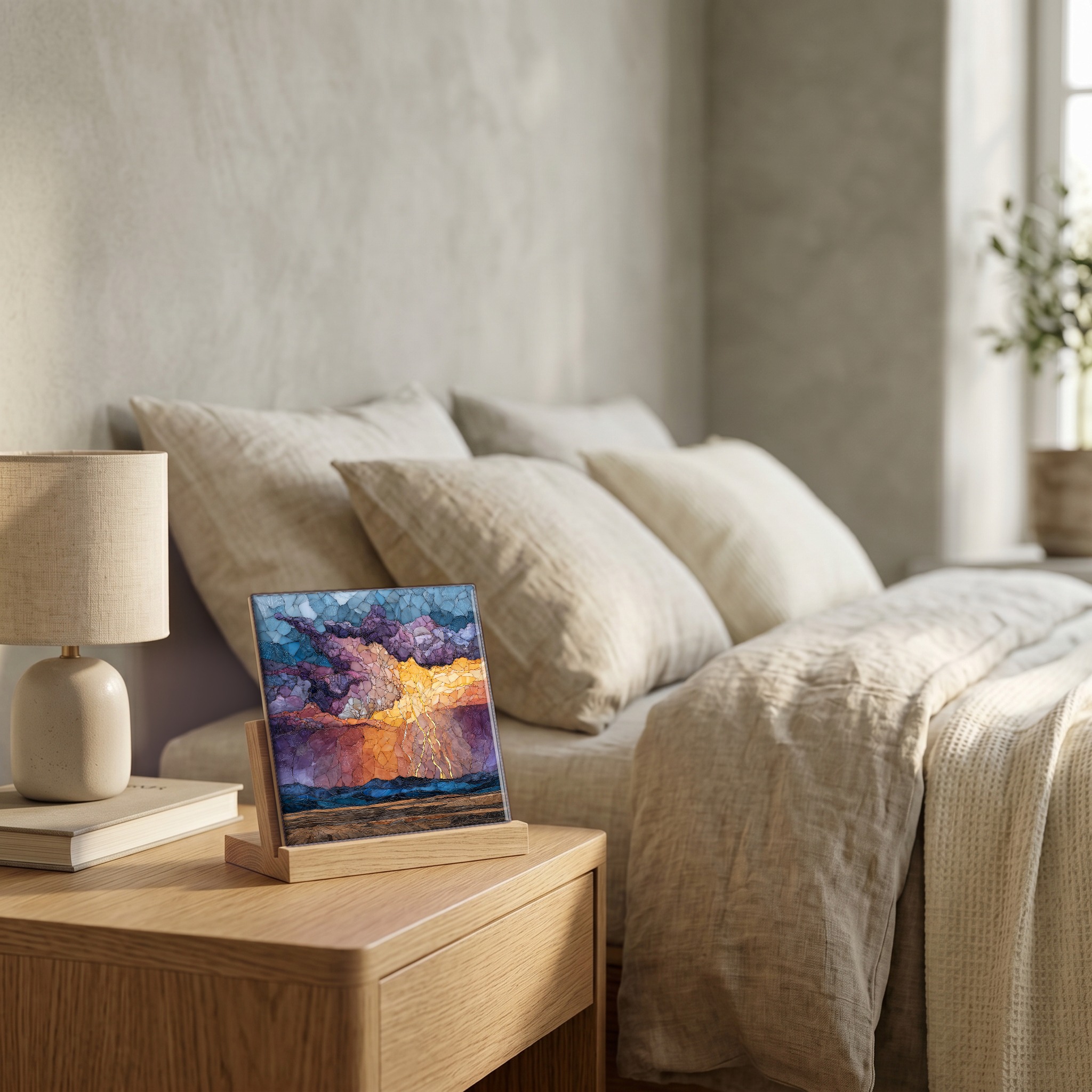
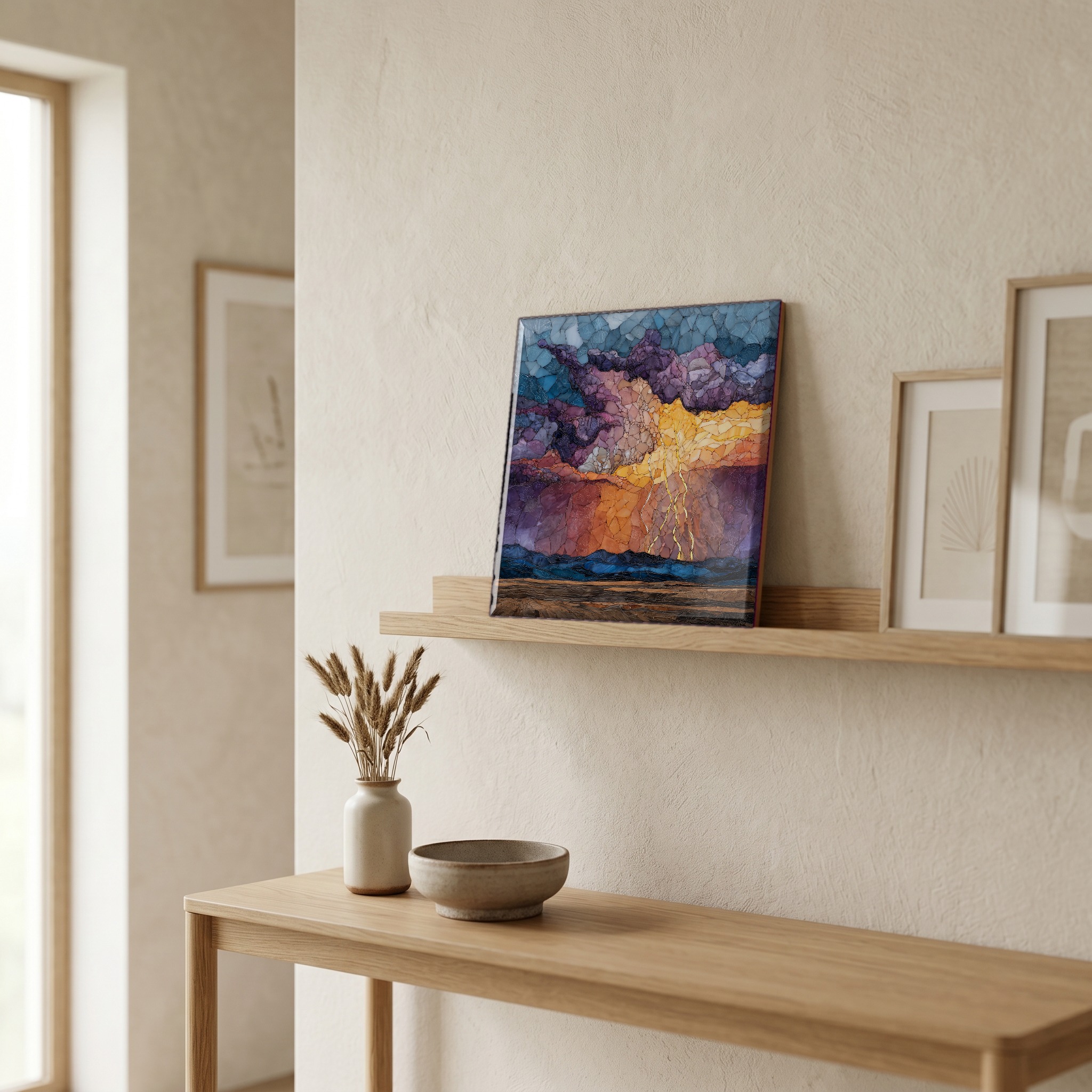
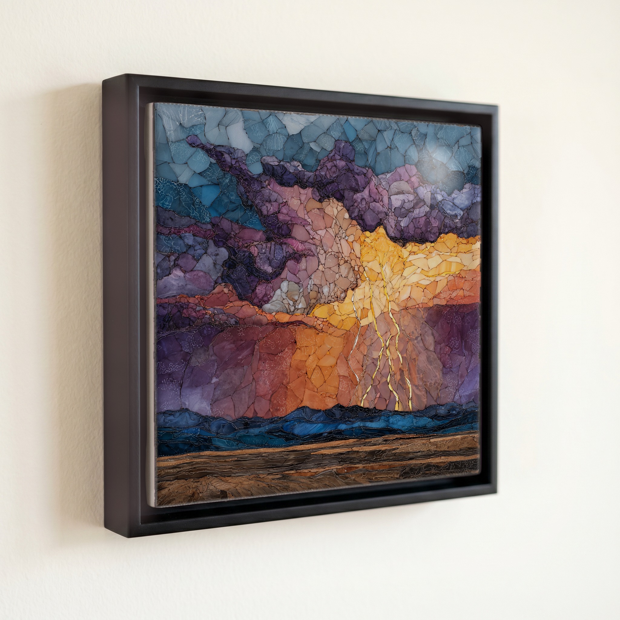
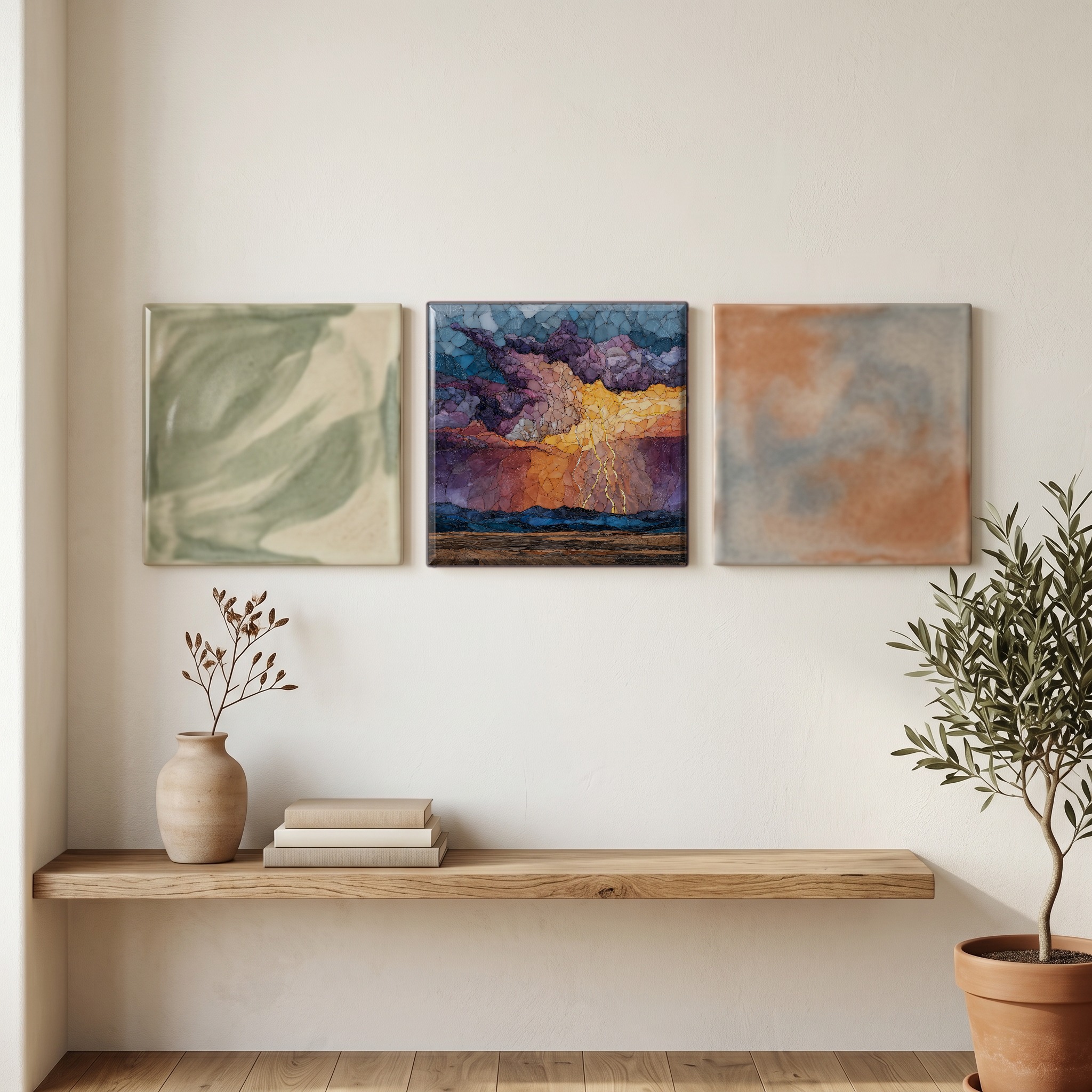
Lightning over the plains Ceramic Art Tile
— the white instant before the thunder catches up.
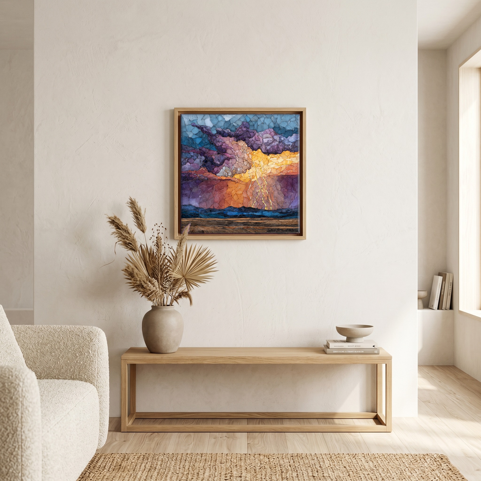
Not only on a wall.
“The high plains east of the Front Range. Summer storms build all afternoon over the Rockies, then drift out onto the prairie around dinnertime, anvil-topped and dragging a hard shadow. The high plains see some of the heaviest cloud-to-ground lightning in the western United States. The strikes come faster than the thunder, which is the part that stays: a long bright stitch, three seconds of silence, then the crack arrives. Cattle don't lift their heads. The wheat keeps moving. Out toward the Kansas line the storms can run for hours, throwing light across forty miles of grass.
Lightning over the plains Ceramic Art Tile, on ceramic.
Each tile is finished by hand in our Knoxville studio. Artwork is slowly infused into the ceramic surface under high heat and pressure, and rests beneath a thin glossy finish. The colour lives in the surface, not on top of it.
Pick any four 4-inch tiles — National Parks you've been to, a Smokies set, the four seasons of one place. $ for a set of , cork-backed, ready to live on the table.
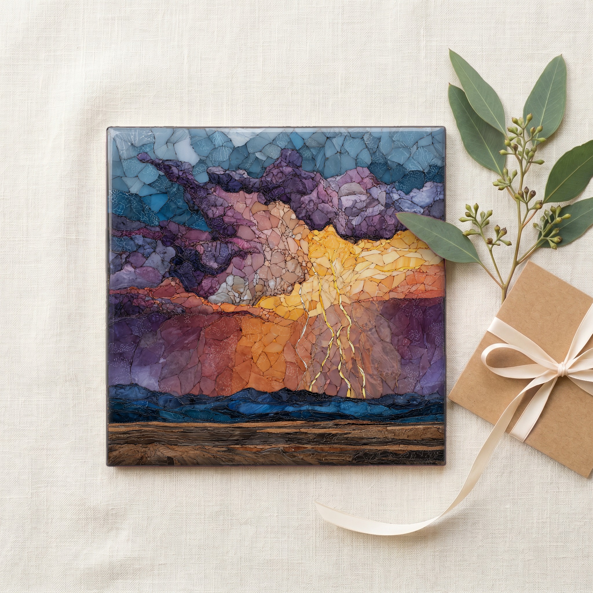
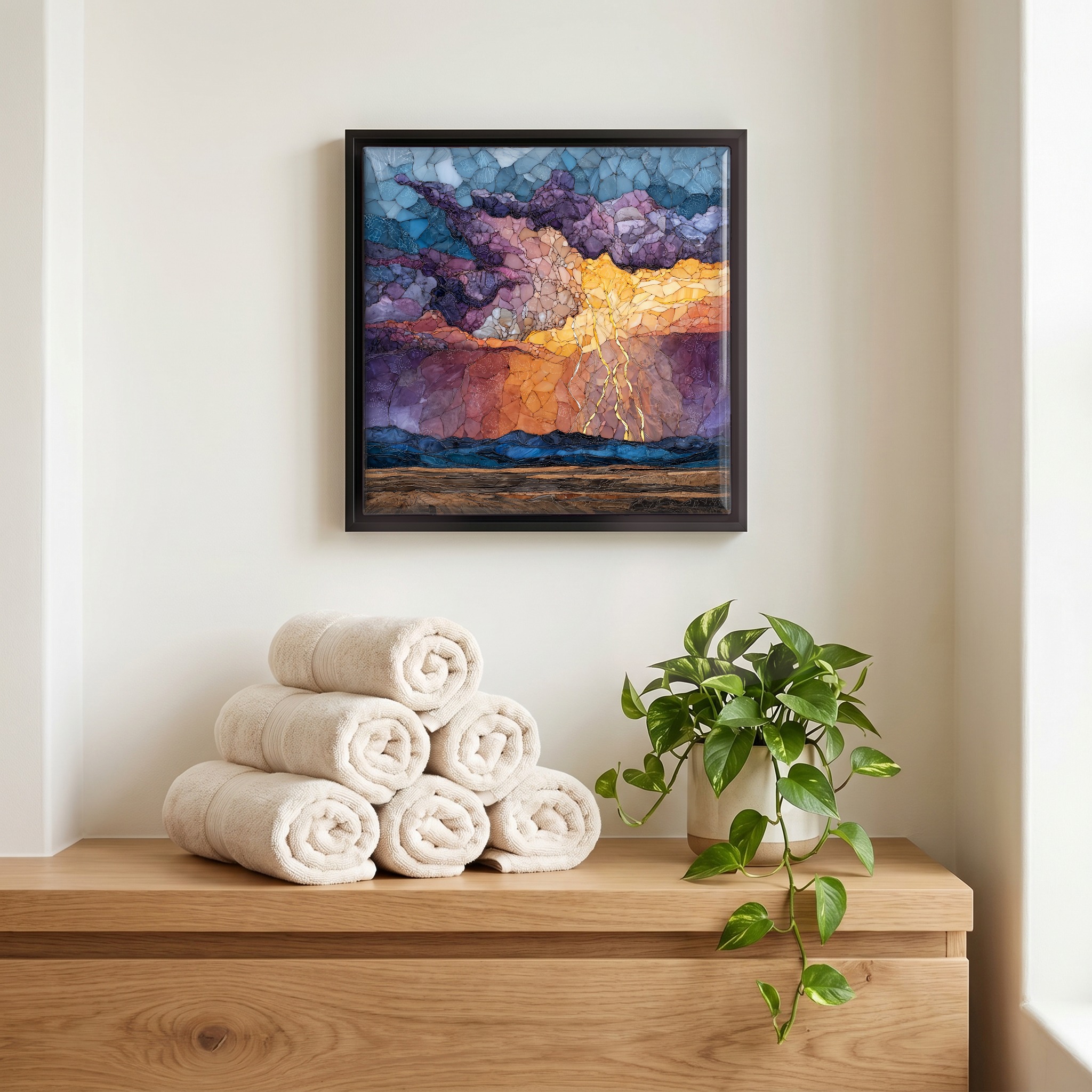
Each tile ships in a kraft box, tied with cream ribbon, with a handwritten note from the studio if you'd like to add one.
Three or five different vistas, hung together — a chapter of places you've been, or want to go.
The place, in three passes.
The Eastern Plains of Colorado run from the foot of the Front Range to the Kansas, Nebraska, and Oklahoma borders, covering roughly 40 percent of the state. The terrain is high prairie, shortgrass and dryland wheat at elevations between 3,500 and 6,000 feet, rising gently west toward the Rockies. Two federal grasslands sit here: Pawnee National Grassland in Weld County, about 193,060 acres, and Comanche National Grassland in the southeast. The largest plains town is Greeley; long stretches between are quiet ranch country. The region forms the western edge of the Great Plains and the leeward side of the Rocky Mountain rain shadow, which is the climatic fact that shapes everything else.
Colorado averages around half a million cloud-to-ground lightning strikes per year, with the high plains in the eastern half of the state taking a large share between June and August. A single channel is roughly the diameter of a thumb, surrounded by a hot blue corona, gone in about thirty microseconds. The afterimage holds for seconds. From a porch fifteen miles east of Limon, a storm anchored over Yuma County will throw light to the horizon and never reach the ear. The plains' flatness is the reason: the curve of the earth swallows the thunder before it can travel that far.
Lightning on the plains is summer business. Storm season runs from late May through early September, with peak frequency in July. The mechanism is the dryline, a moisture boundary that drifts east from the Rockies most afternoons, lifting warm Gulf air over cooler, drier air from the Great Basin. The result is the high plains supercell: an isolated, slow-moving thunderhead that can stretch 60,000 feet tall and live for hours. Eastern Colorado sits inside Hail Alley, the highest-frequency hail zone in North America. The first storms usually fire between 3 and 5 p.m., the second wave after dark. By late September the dryline retreats and the prairie quiets through October.