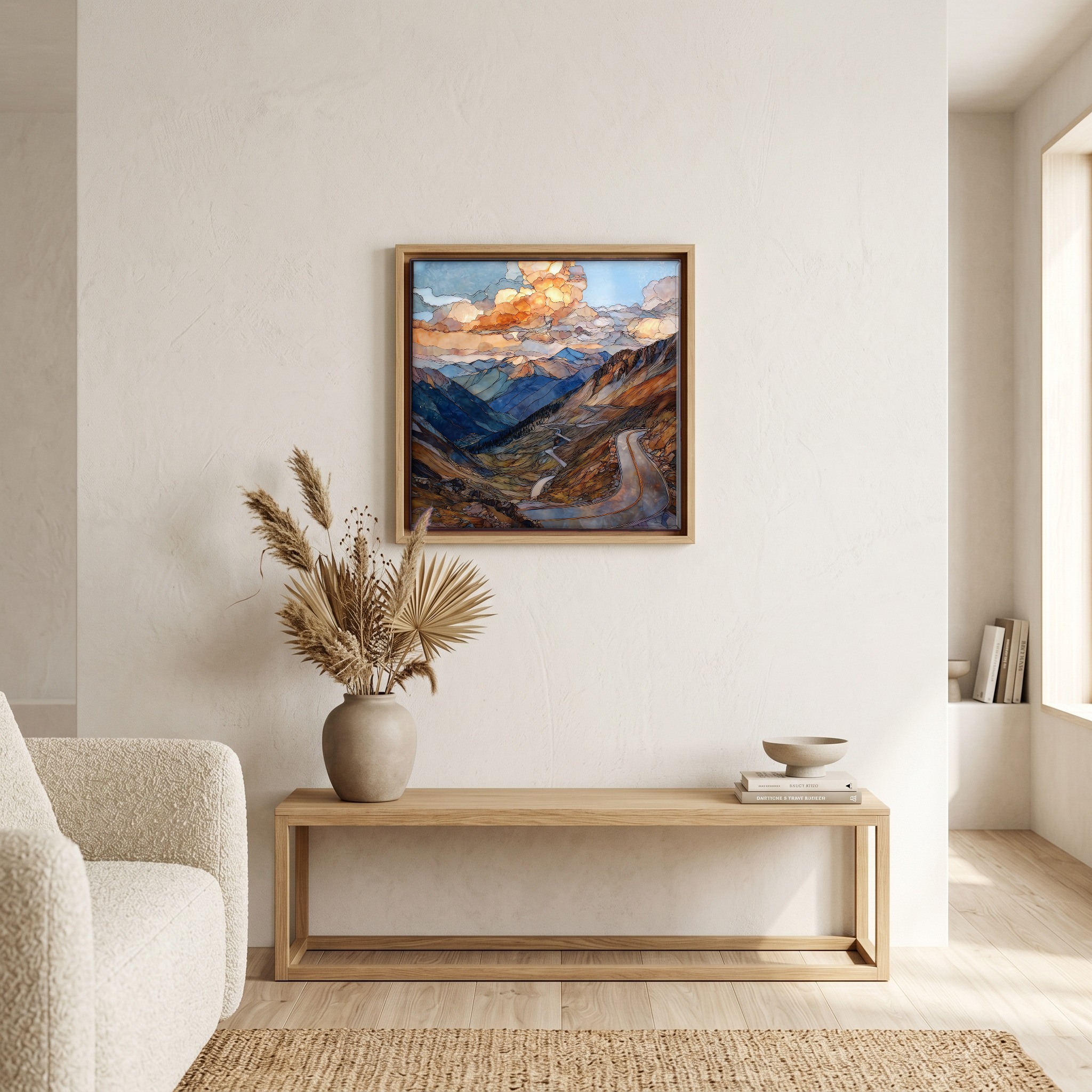
Independence Pass from Aspen Sawatch Range Ceramic Art Tile
— — the road the snow keeps for itself.
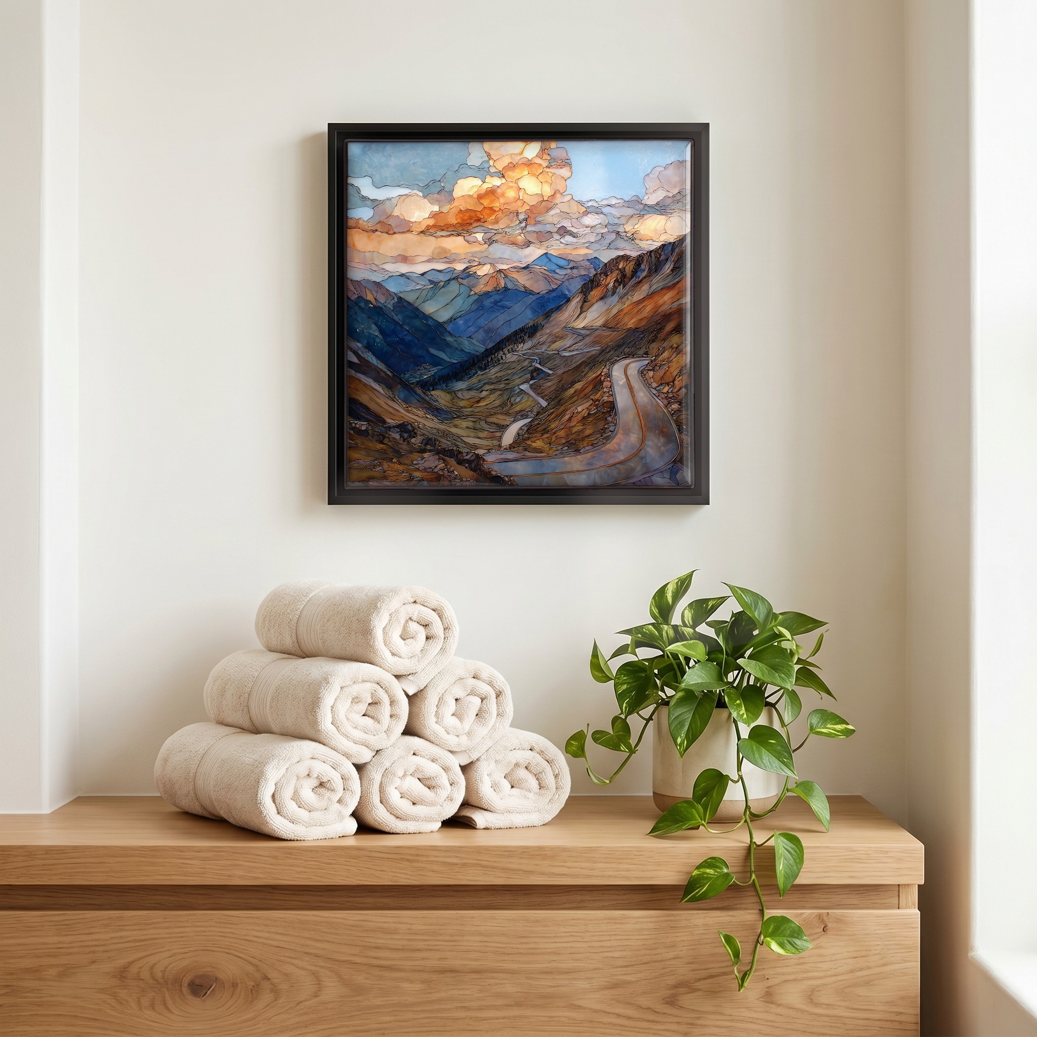
Not only on a wall.


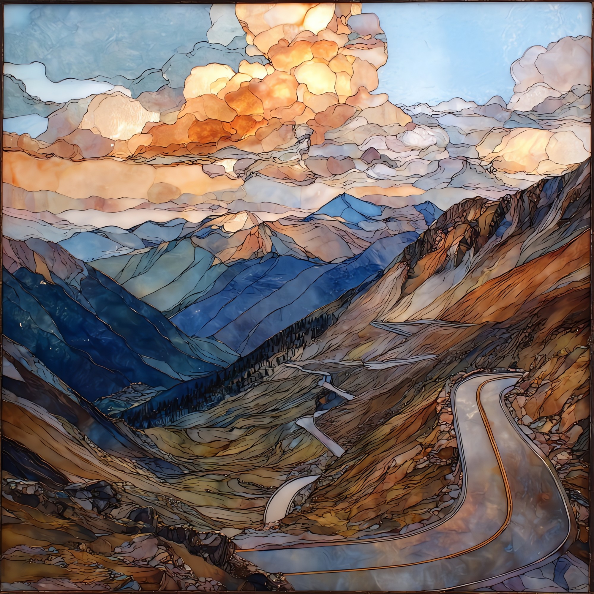
“The pass is the high seam between two valleys. Aspen sits to the west, the Arkansas headwaters to the east. The road climbs out of the aspens, then the spruce, then the trees give up entirely and the tundra takes over. The summit sits at twelve thousand and ninety-five feet, on the Continental Divide. The road closes when the snow comes, usually by early November. It opens again at the end of May, when the plows are finally through. Wildflowers come quickly after that, and stay through August. There's a small lot at the top. Most cars don't linger.
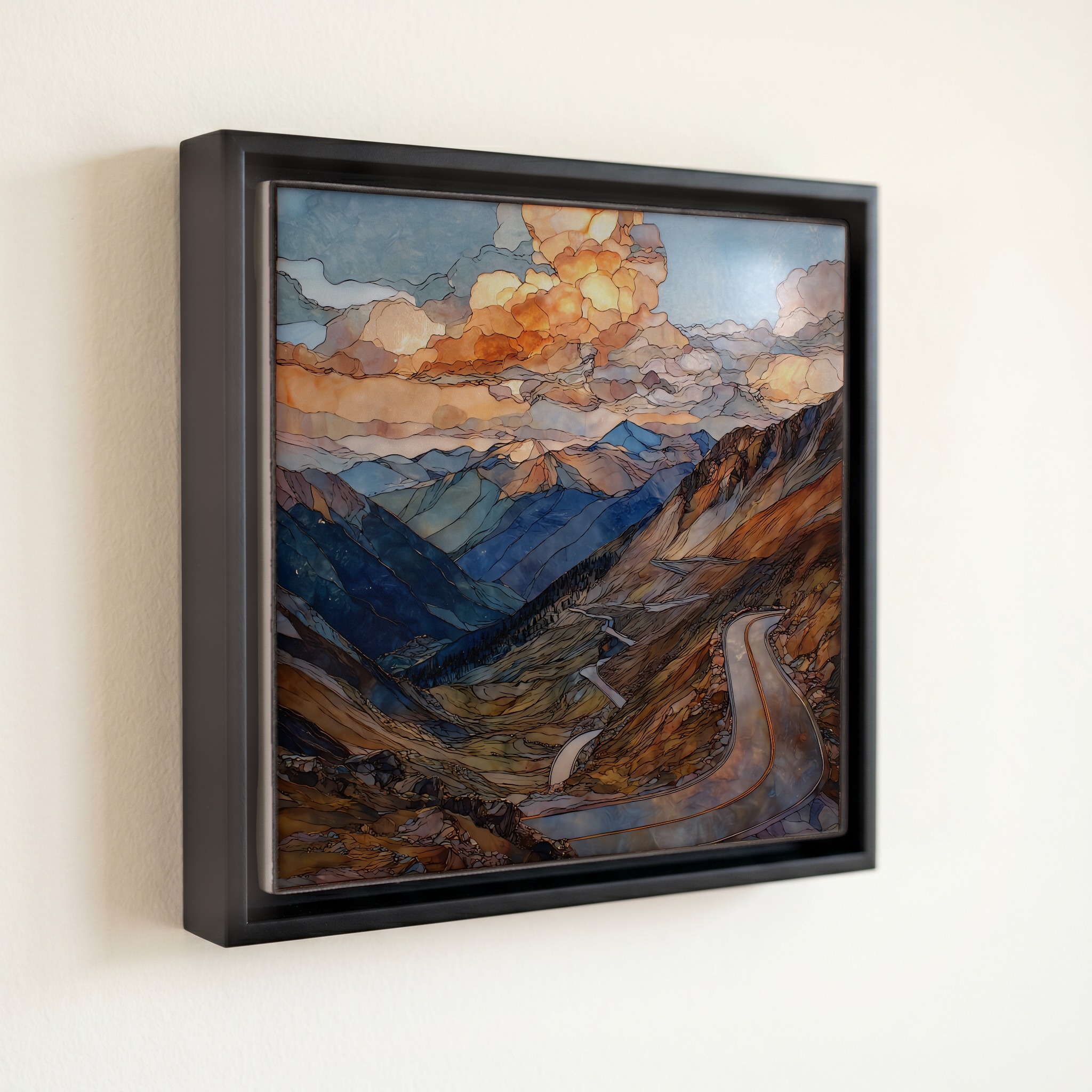
Independence Pass from Aspen Sawatch Range Ceramic Art Tile, on ceramic.
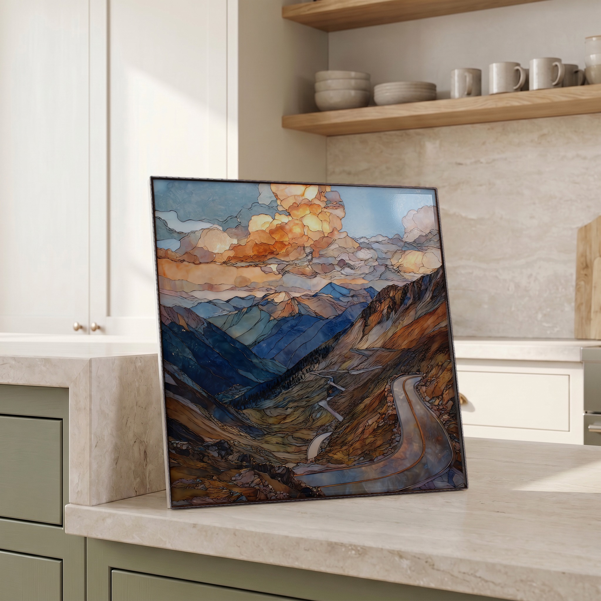
Each tile is finished by hand in our Knoxville studio. Artwork is slowly infused into the ceramic surface under high heat and pressure, and rests beneath a thin glossy finish. The colour lives in the surface, not on top of it.
Pick any four 4-inch tiles — National Parks you've been to, a Smokies set, the four seasons of one place. $ for a set of , cork-backed, ready to live on the table.
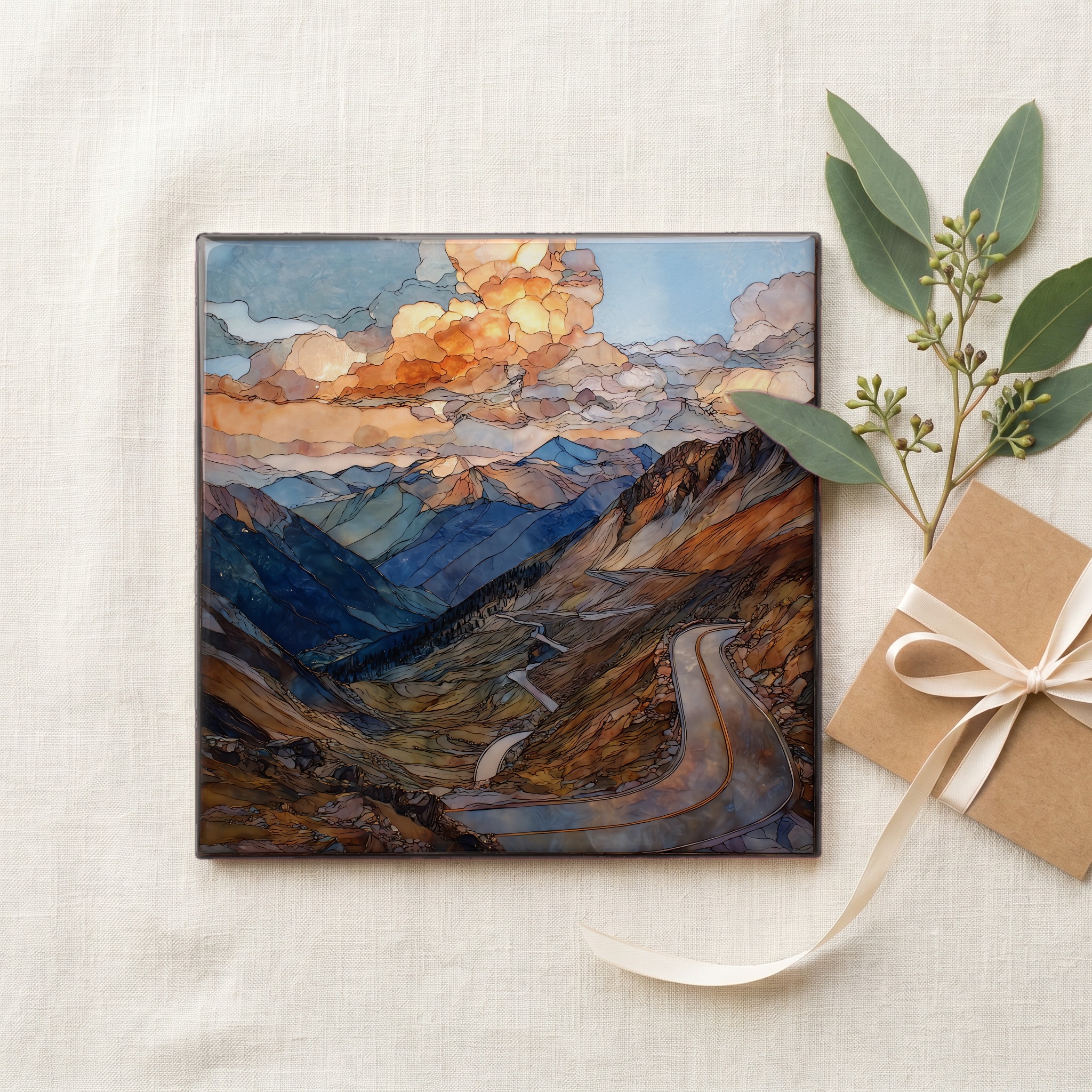
Each tile ships in a kraft box, tied with cream ribbon, with a handwritten note from the studio if you'd like to add one.

Three or five different vistas, hung together — a chapter of places you've been, or want to go.
The place, in three passes.
Independence Pass crosses the Sawatch Range of the central Rocky Mountains at 12,095 feet (3,687 m), the highest paved through-route across the Continental Divide in the United States. Colorado State Highway 82 carries traffic from Aspen on the western slope to Twin Lakes and Leadville on the eastern slope, a drive of roughly forty miles between the two towns. The summit sits on the boundary between White River National Forest and San Isabel National Forest. The Sawatch is the spine that holds Colorado's two tallest summits: Mount Elbert at 14,440 feet and Mount Massive at 14,428 feet, both within a short line of the pass road. The route is part of the Top of the Rockies National Scenic Byway.
Twelve thousand feet is well above the local tree line. The pass sits in alpine tundra: cushion plants, sky pilot, alpine forget-me-not, plants that survive a growing season measured in weeks. Air pressure at the summit is roughly sixty percent of sea level, and headaches are common in visitors who climb too quickly from Denver or the Front Range. The Forest Service interpretive signs at the summit lot ask walkers to stay on the established paths; a single footprint on a moss-campion cushion can take decades to recover. Pikas live in the rock scree above the road, marmots in the meadows below. Storms build fast over the Sawatch; afternoon lightning is the standing summer hazard.
Colorado Department of Transportation closes Highway 82 over the pass each fall, typically by early November, and reopens it the Thursday before Memorial Day in late May. CDOT prohibits vehicles longer than thirty-five feet on the road; in several sections the lane narrows past the centre line and through tight switchbacks above sheer drops. About four miles below the summit on the western side, the road runs past the preserved town site of Independence, a silver-mining camp founded on July 4, 1879, that gave the pass its name. A handful of log cabins remain. The pass is part of the Top of the Rockies National Scenic Byway.