Independence Ghost Town Sawatch Range Ceramic Art Tile
— the silence after the silver left.
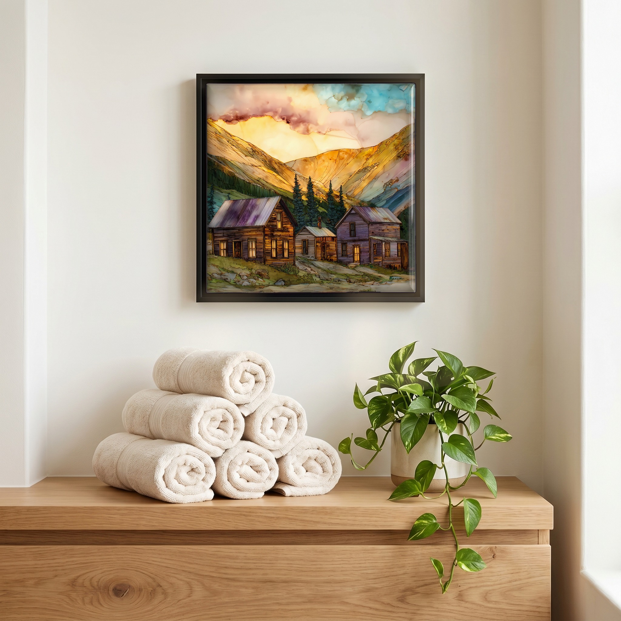
Not only on a wall.


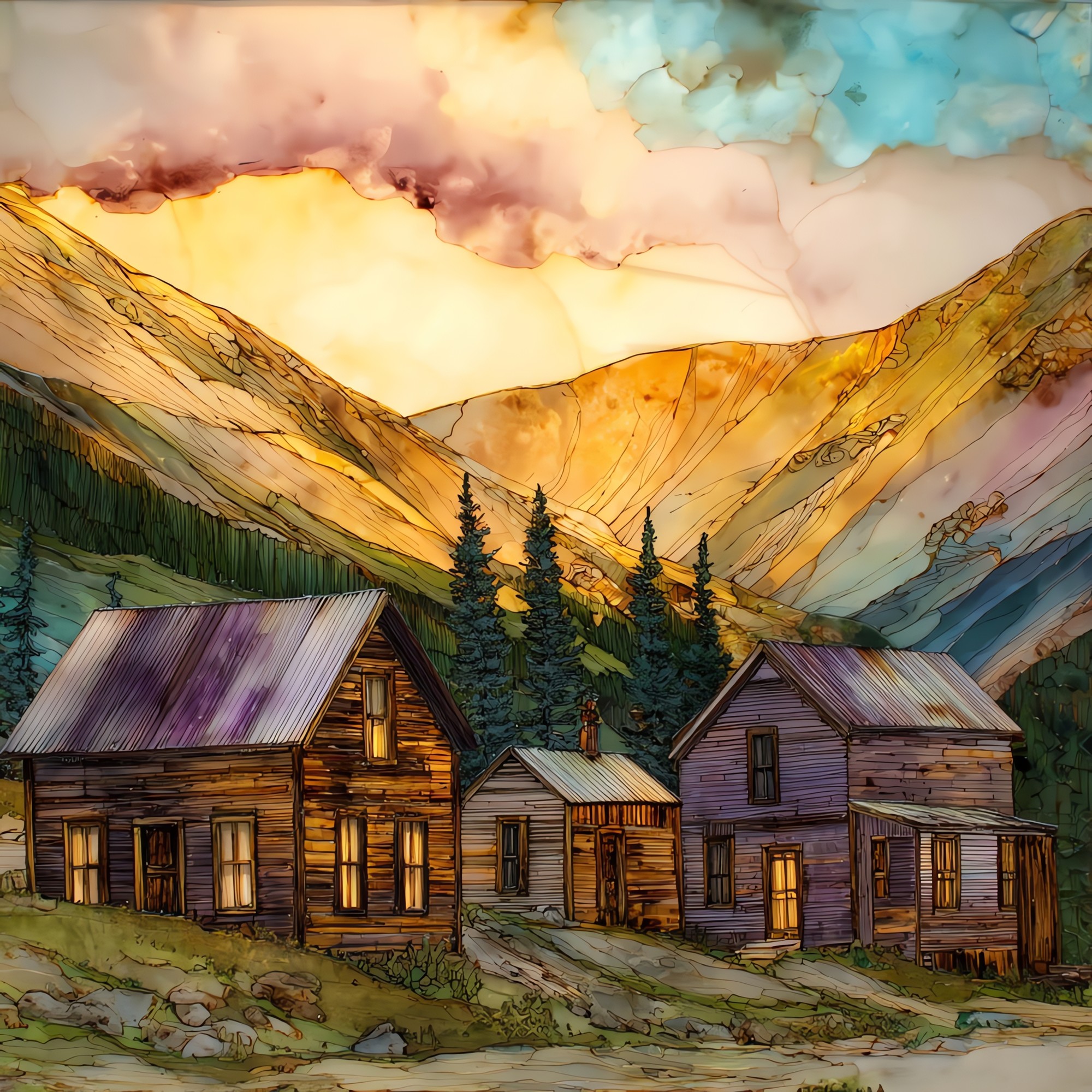
“A high ghost town on the road over Independence Pass, between Aspen and Twin Lakes. Gold turned up here on the Fourth of July, 1879, and the camp went up fast. By the early 1880s about 1,500 people lived at the site, with saloons, boarding houses, and a working main street of stores. The silver crash of 1893 took most of them out. The last few are said to have skied down to Aspen the winter of 1899, on planks pulled from their own cabins. About a dozen log structures still stand at 10,900 feet, looked after by the Aspen Historical Society. The road is closed every winter; the cabins are alone for six months at a time.
Independence Ghost Town Sawatch Range Ceramic Art Tile, on ceramic.
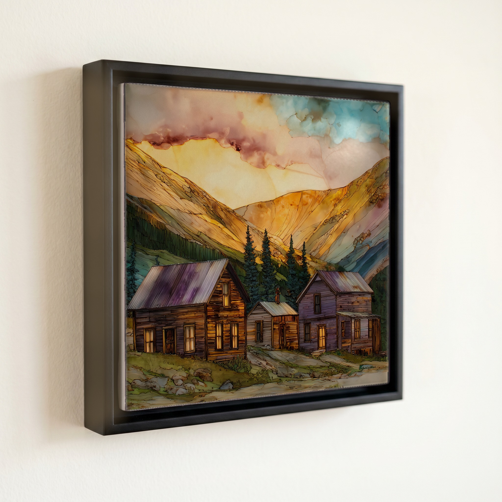
Each tile is finished by hand in our Knoxville studio. Artwork is slowly infused into the ceramic surface under high heat and pressure, and rests beneath a thin glossy finish. The colour lives in the surface, not on top of it.
Pick any four 4-inch tiles — National Parks you've been to, a Smokies set, the four seasons of one place. $ for a set of , cork-backed, ready to live on the table.

Each tile ships in a kraft box, tied with cream ribbon, with a handwritten note from the studio if you'd like to add one.

Three or five different vistas, hung together — a chapter of places you've been, or want to go.
The place, in three passes.
Independence sits at 10,900 feet on the western flank of the Sawatch Range, sixteen miles east of Aspen along Colorado State Highway 82, the high road over Independence Pass. The Sawatch holds the highest peaks of the Colorado Rockies. Fifteen named fourteeners cluster here, including Mount Elbert at 14,440 feet, the highest summit in the Rocky Mountain system. The town site is part of the White River National Forest, managed jointly by the U.S. Forest Service and the Aspen Historical Society, and listed on the National Register of Historic Places. The Roaring Fork River begins a few miles above on the pass itself, then runs west through what later became Aspen before joining the Colorado at Glenwood Springs.
About a dozen log structures remain at the site, mostly small one- and two-room cabins from the early 1880s, along with the foundations of a general store and a stable. The buildings are stabilised rather than restored. The Aspen Historical Society and the U.S. Forest Service manage the site jointly, and Independence was added to the National Register of Historic Places in 1973. Above 10,000 feet, wood weathers slowly. The grey on these walls is real time: more than a hundred and forty winters of dry alpine air, hard sun, and snow that can bury the doorframes from November to May.
Access is summer only. Colorado State Highway 82 over Independence Pass closes after the first big snow each November and reopens around Memorial Day, depending on the spring melt. The pass itself crests at 12,095 feet, among the highest paved through-routes in North America, and is narrow enough that vehicles longer than 35 feet are prohibited even when the road is open. The town site is a half-mile walk on a graded path from the highway pullout. There is no fee. Interpretive signs from the Aspen Historical Society identify each surviving structure. Visitors are asked to stay on marked paths. The cabins are over 140 years old and the alpine meadow is fragile. Allow an hour for the walk and a careful look.