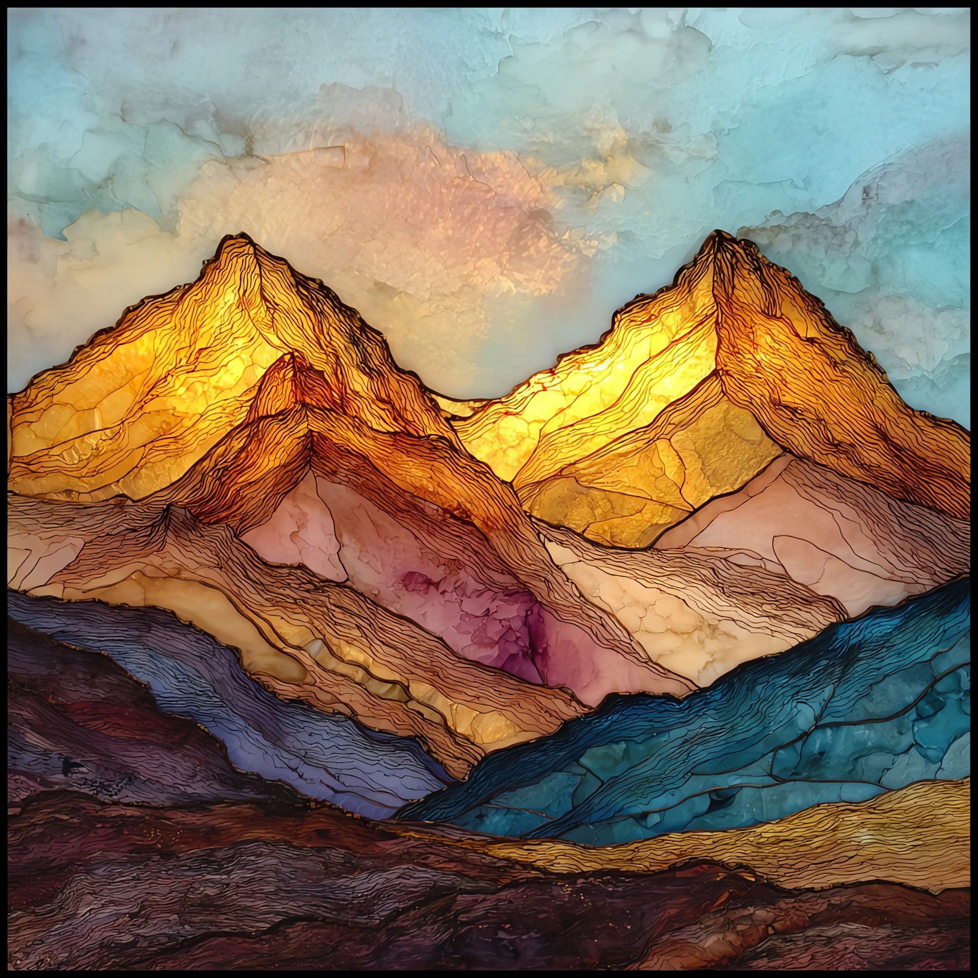
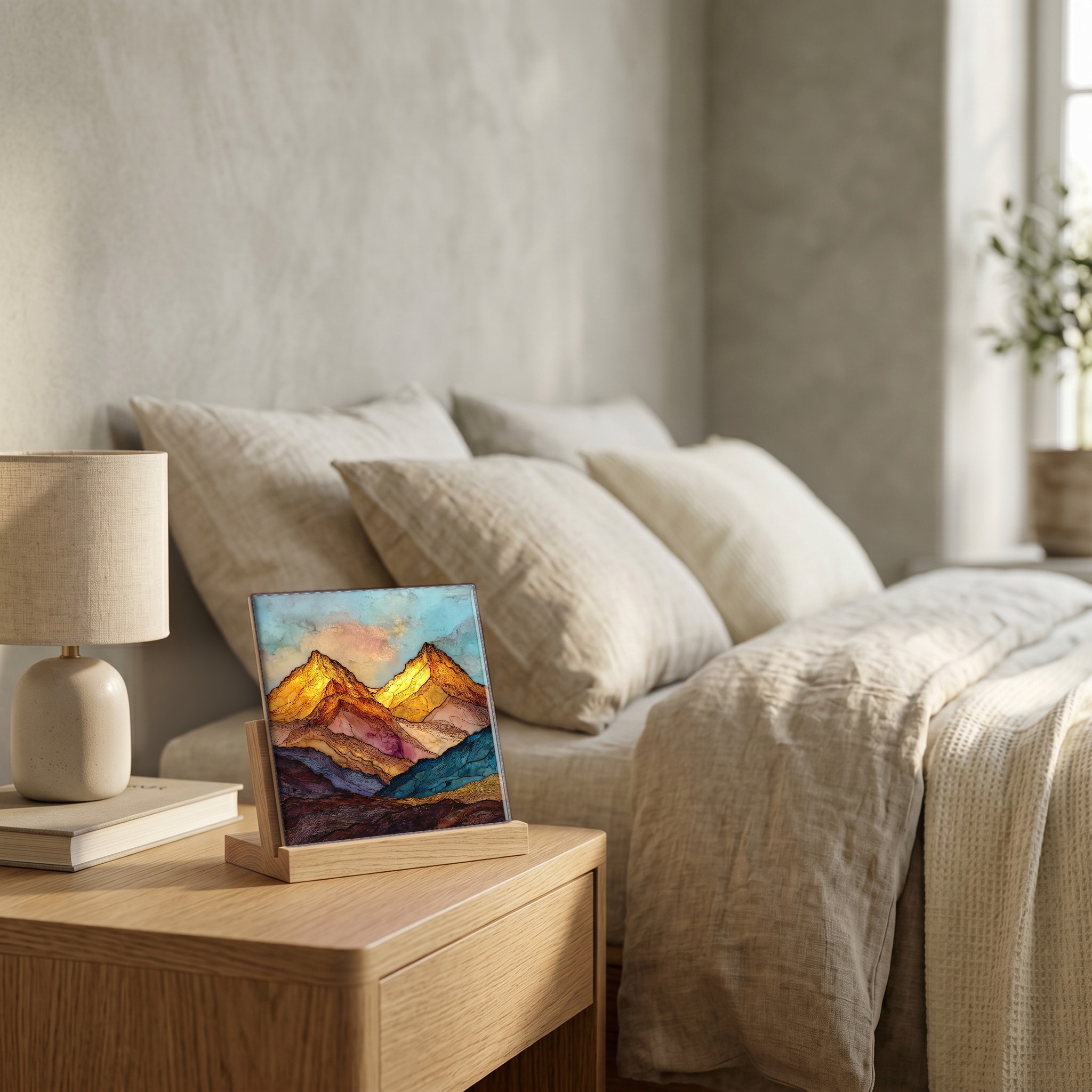
Grays and Torreys Peaks Front Range Ceramic Art Tile
— the ridge that holds them both.
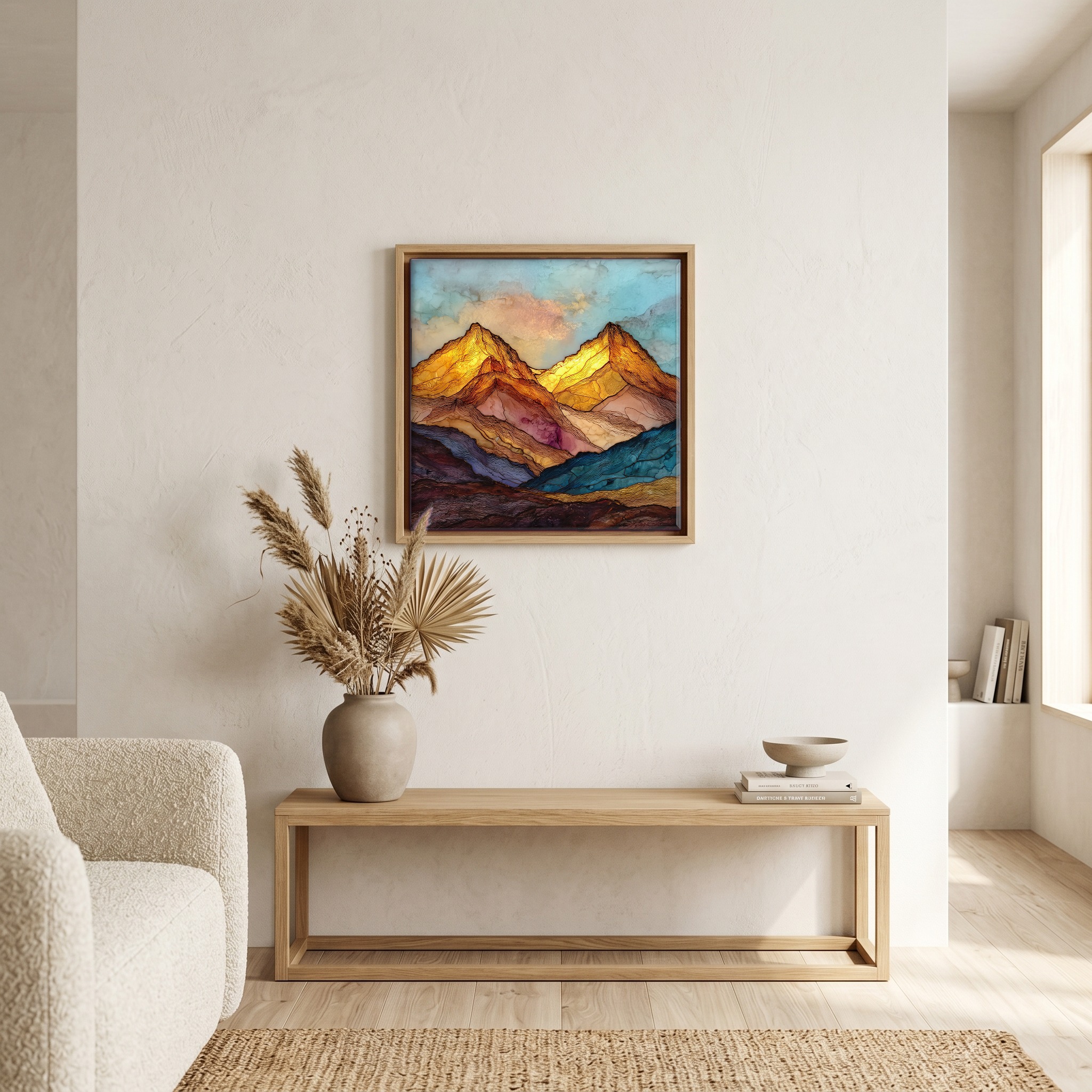
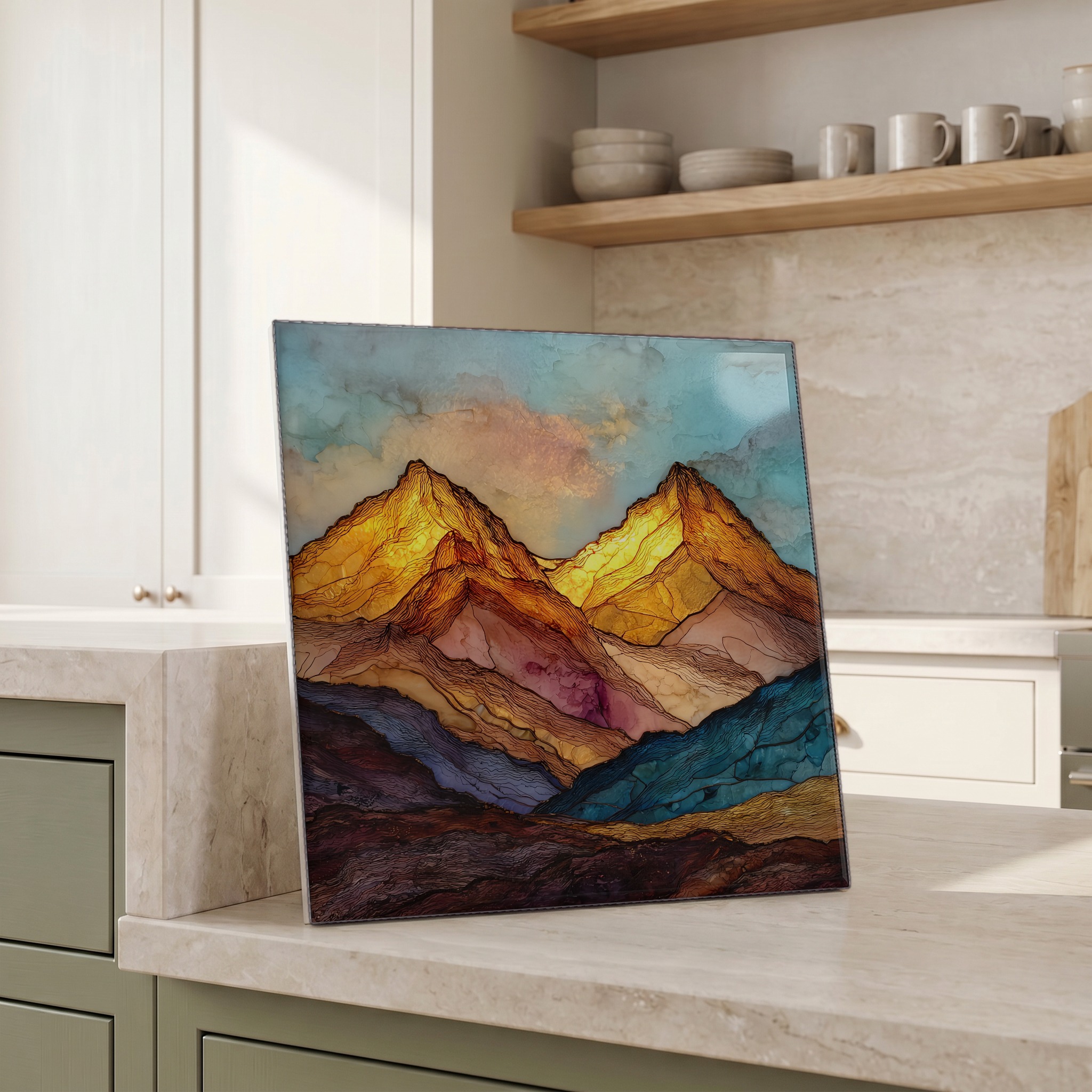
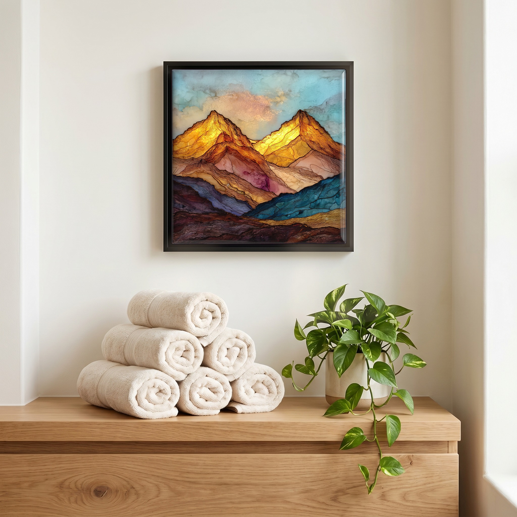
Not only on a wall.

“Two of Colorado's fifty-eight fourteeners, joined by a saddle below either summit. Hikers leave the Stevens Gulch trailhead before sunrise, climb the willow basin, summit Grays as the light flattens the western slope, then drop and rise to Torreys. The whole loop is under nine miles, but the air above tree line decides whether the day goes easily or not at all. Named for two nineteenth-century botanists, Asa Gray and John Torrey, who described the West's flora from desks in New York. They never came to see what they were naming.
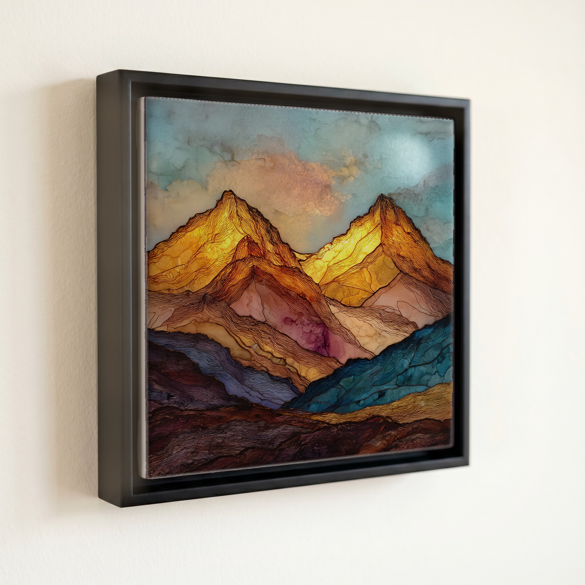
Grays and Torreys Peaks Front Range Ceramic Art Tile, on ceramic.
Each tile is finished by hand in our Knoxville studio. Artwork is slowly infused into the ceramic surface under high heat and pressure, and rests beneath a thin glossy finish. The colour lives in the surface, not on top of it.
Pick any four 4-inch tiles — National Parks you've been to, a Smokies set, the four seasons of one place. $ for a set of , cork-backed, ready to live on the table.
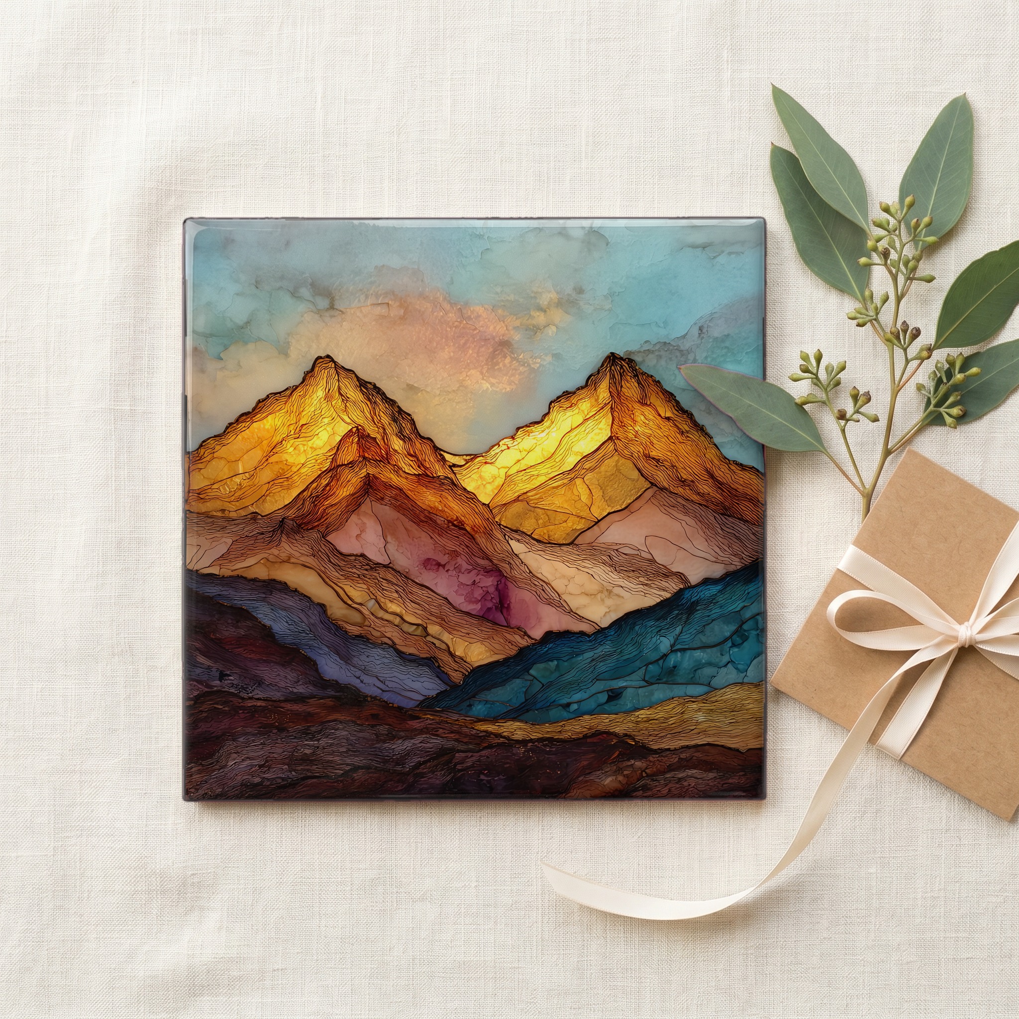
Each tile ships in a kraft box, tied with cream ribbon, with a handwritten note from the studio if you'd like to add one.
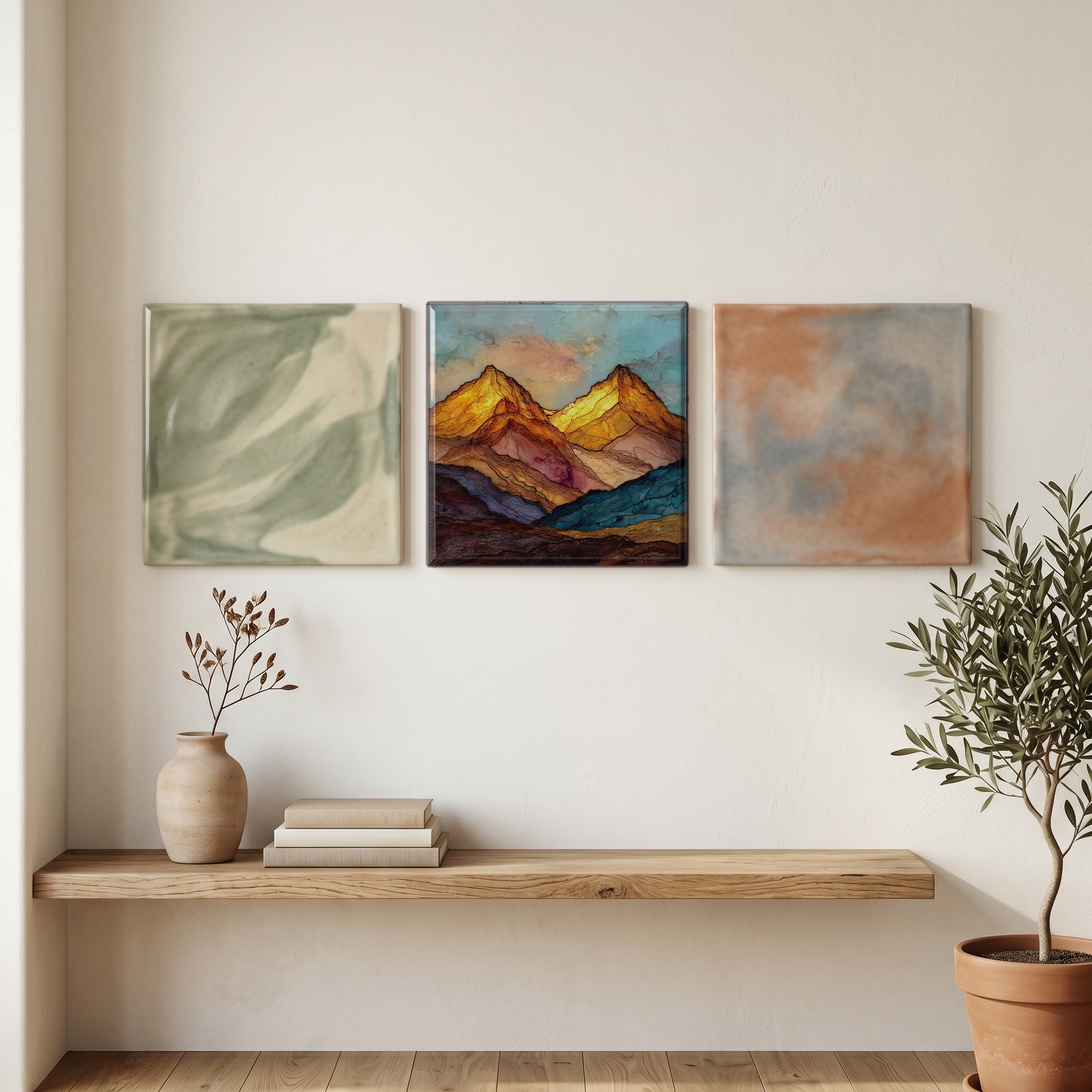
Three or five different vistas, hung together — a chapter of places you've been, or want to go.
The place, in three passes.
Grays Peak (4,352 m) and Torreys Peak (4,351 m) stand on the boundary between Clear Creek County and Summit County in Colorado's Front Range, about 80 km west of Denver. Grays is the highest summit on the Continental Divide in North America and the tenth-highest peak in the Rocky Mountains. The two peaks share a saddle at roughly 4,178 m, and most hikers traverse both in one outing from the Stevens Gulch trailhead off Interstate 70. They lie within the Arapaho National Forest, in territory the Ute and Cheyenne held before the 1859 gold rush brought prospectors up Clear Creek to Georgetown and beyond.
Above 4,000 m the atmosphere holds about 60% of the oxygen available at sea level. Hikers who climb Grays and Torreys in the same morning often turn around at the saddle rather than push the second summit; the second 600-foot climb at altitude is where the day decides itself. The weather window is unforgiving. Afternoon thunderstorms build along the Front Range from late June through August, and the Colorado Mountain Club's standard guidance is to be off the summit by noon. Lightning strikes the exposed ridge several times each season. The mountain goats above Stevens Gulch are habituated to hikers but should not be fed.
The standard hiking season runs from mid-July to mid-September, after the snowpack consolidates and before the first heavy storms return. Stevens Gulch Road, the access route from Bakerville off I-70, is plowed only to the lower lot; the upper trailhead requires high clearance even in summer and is often impassable until late June. Snow lingers in the eastern bowl below the saddle into July most years. The trail is class 1 to class 2 with no technical climbing, but the round trip covers about 13.7 km and 1,100 m of vertical gain. Wildflower season peaks in the alpine basin in the second half of July, with king's crown and alpine forget-me-not.