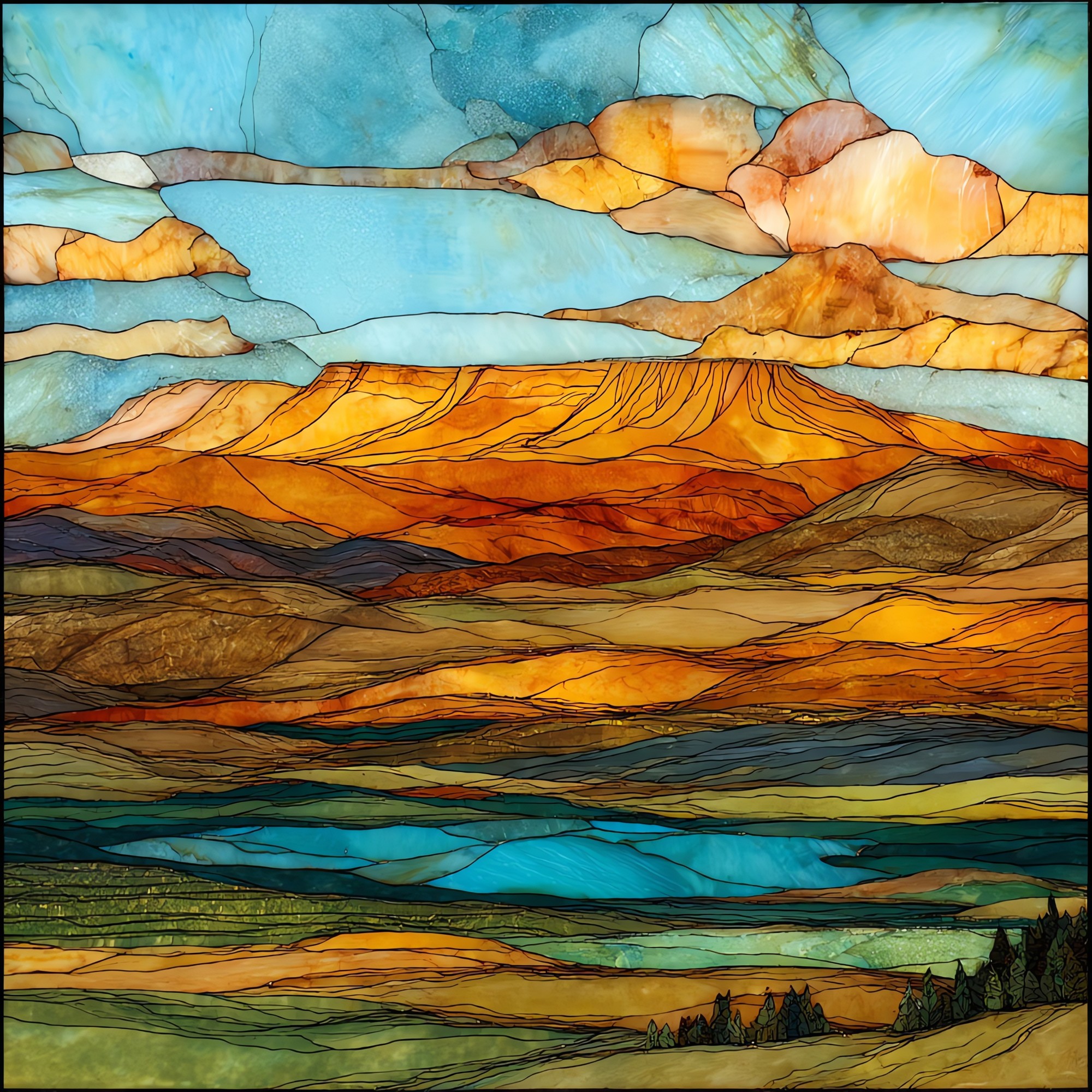
Grand Mesa Scenic Byway Ceramic Art Tile
— — three hundred lakes on a roof of basalt.
Not only on a wall.


“The byway climbs onto Grand Mesa from Plateau Creek, sixty-three miles between I-70 and Cedaredge, all of it on top of a basalt cap that cooled in place close to ten million years ago. The mountain reads as flat because once it was a valley, and the lava that filled the valley outlasted every hill around it. Three hundred lakes pool across the top. Aspens up the canyon, lodgepole and spruce on the high meadows, the Land's End Observatory at the western brink, built of mesa basalt in 1936. Most days the view from the overlook runs eighty miles into Utah.
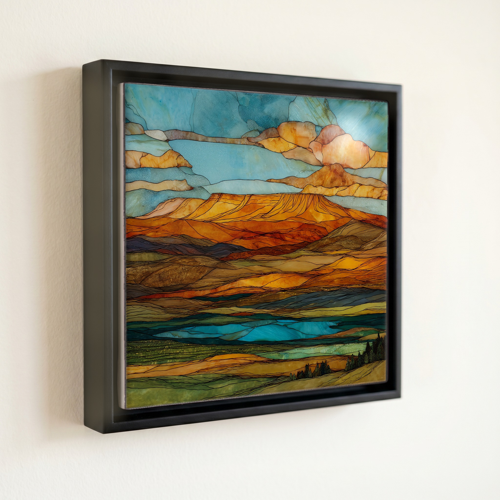
Grand Mesa Scenic Byway Ceramic Art Tile, on ceramic.
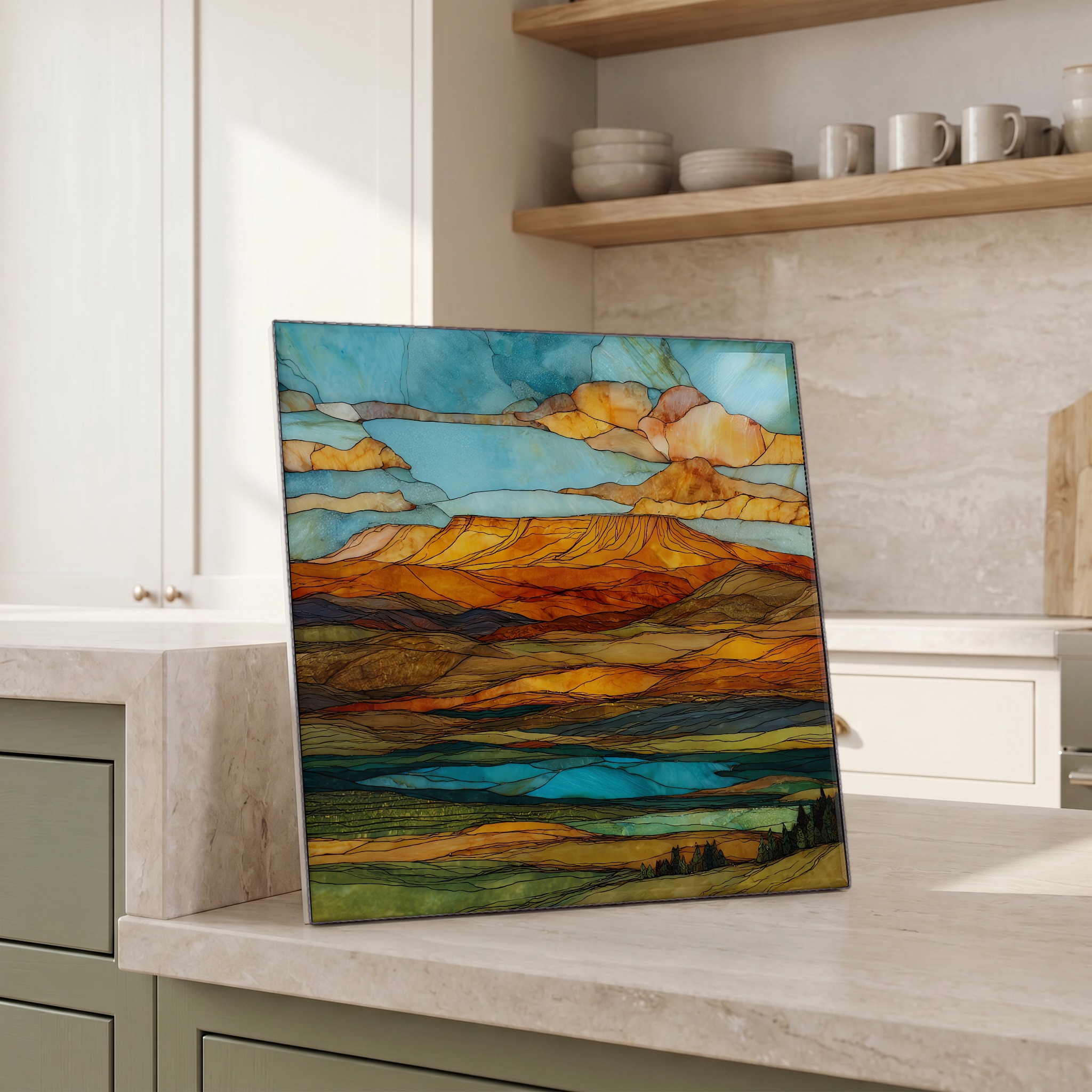
Each tile is finished by hand in our Knoxville studio. Artwork is slowly infused into the ceramic surface under high heat and pressure, and rests beneath a thin glossy finish. The colour lives in the surface, not on top of it.
Pick any four 4-inch tiles — National Parks you've been to, a Smokies set, the four seasons of one place. $ for a set of , cork-backed, ready to live on the table.
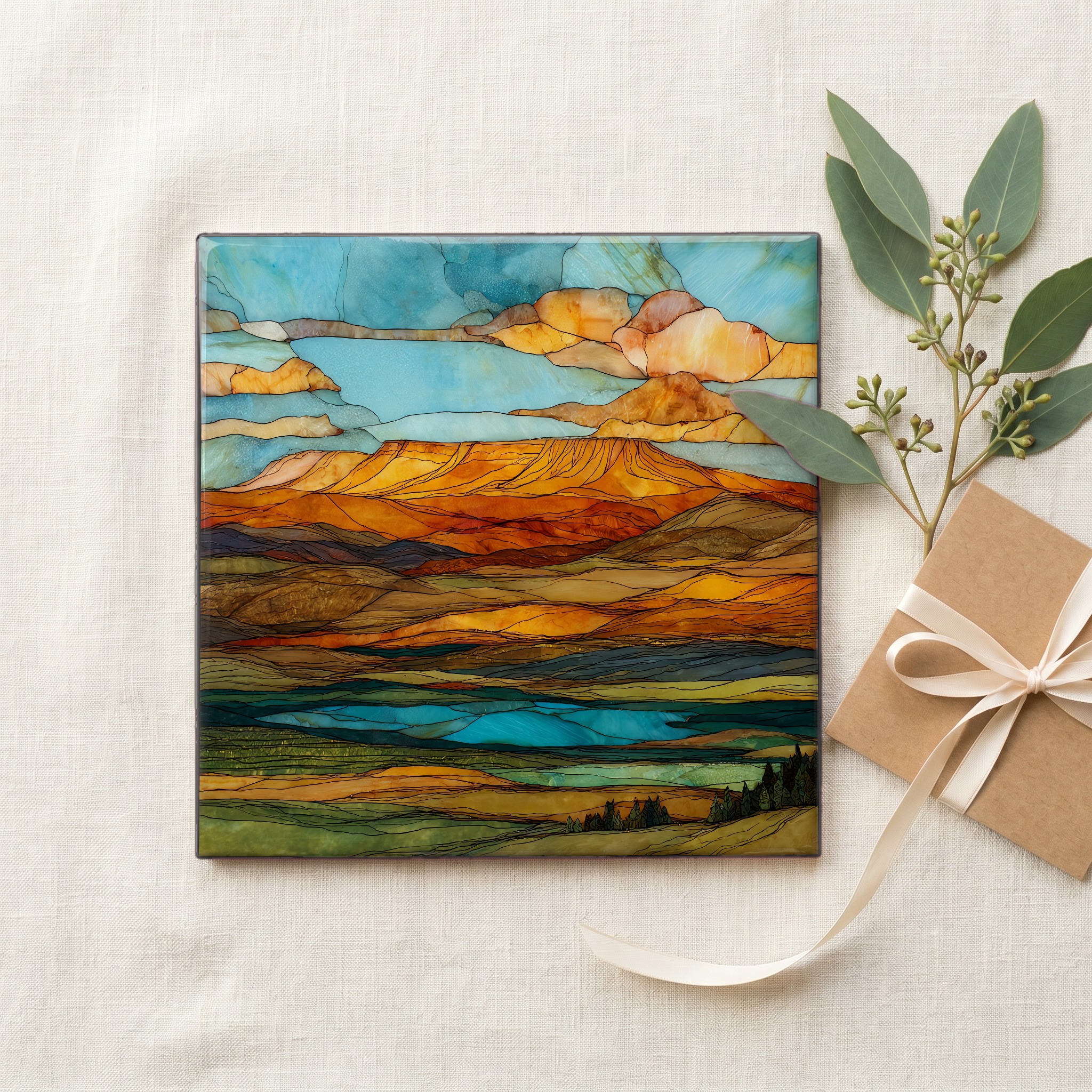
Each tile ships in a kraft box, tied with cream ribbon, with a handwritten note from the studio if you'd like to add one.

Three or five different vistas, hung together — a chapter of places you've been, or want to go.
The place, in three passes.
Grand Mesa lifts about 6,000 feet above the Colorado River valley and spans roughly 500 square miles across Mesa and Delta counties on Colorado's Western Slope. The byway runs sixty-three miles along Colorado State Highway 65, from Interstate 70 at the town of Mesa, up through Plateau Creek Canyon, across the top of the mesa through Grand Mesa National Forest, and down into the Surface Creek Valley at Cedaredge. The high point reaches 10,849 feet near the Mesa Lakes turnoff. The route was designated a National Scenic Byway in 1991 and is maintained by the Colorado Department of Transportation and the United States Forest Service.
The flat top is a cap of volcanic basalt, in places 200 to 300 feet thick, that flowed across this stretch of western Colorado between about 10.9 and 9.6 million years ago. Geologists call what happened after that topographic inversion. The basalt was harder than the sedimentary rock around it, so as wind and water cut down the softer hillsides, the lava-filled valley stayed put and the country fell away around it. What was the bottom became the top. Rounded river cobbles still sit beneath the basalt, left by the streams that ran through the old valley. The cliffs at the rim of the byway are the same dark stone, and Land's End Observatory was built of it by the Works Progress Administration and the Civilian Conservation Corps in 1936 and 1937.
More than three hundred lakes and small reservoirs sit on top of the mesa, held in shallow basins the lava cap left behind. They drain mainly to the Colorado and Gunnison rivers. The Mesa Lakes Recreation Area near the northern rim holds about seven lakes within walking distance of one another, and the Land-O-Lakes overlook above Cedaredge counts roughly eighteen. The trout are rainbow, brook, and cutthroat, stocked through Colorado Parks and Wildlife. Through deep winter most of the surface water freezes; ice fishing draws a small community of huts onto the lakes near Mesa Lakes Lodge through January and February.