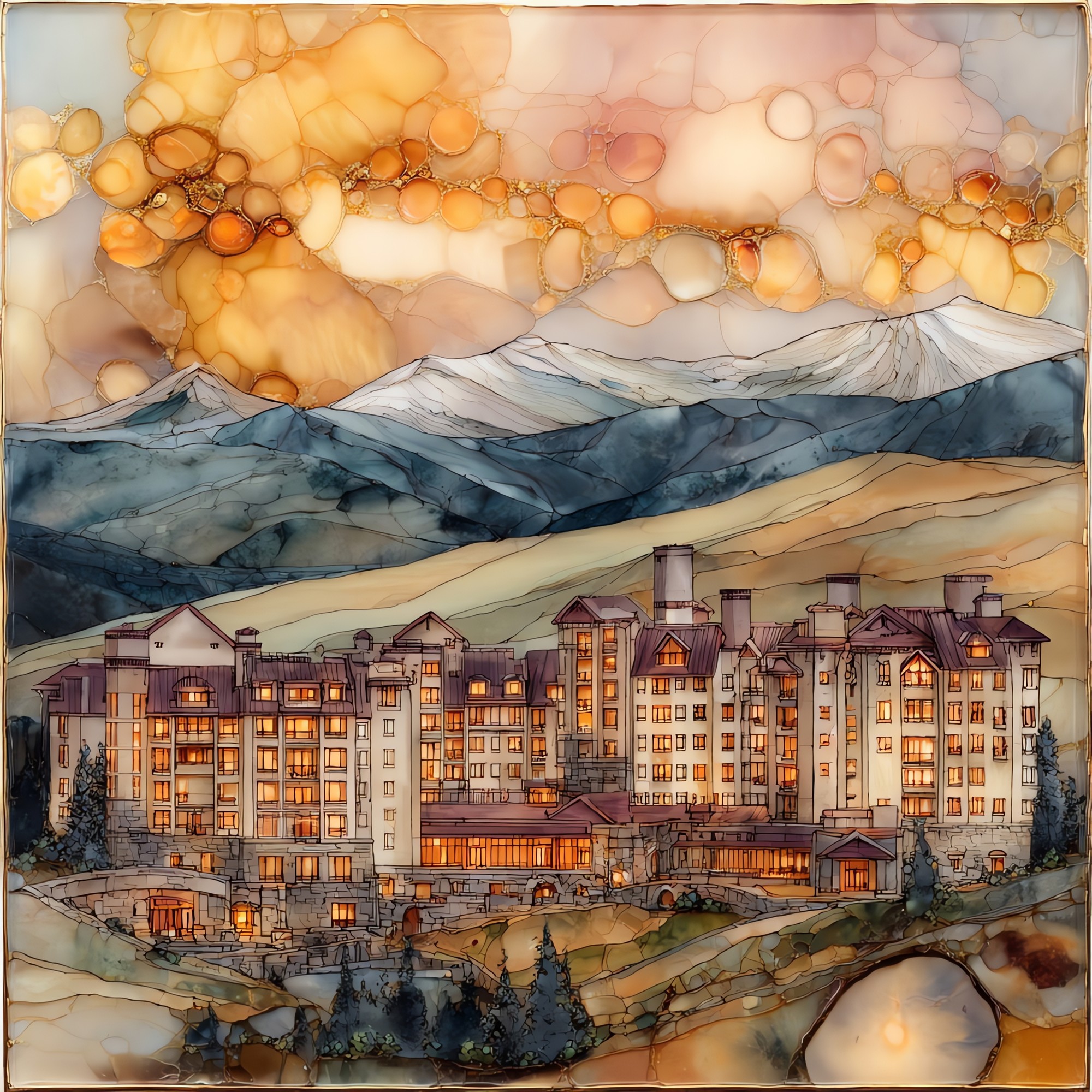
Copper Mountain Tenmile Range Ceramic Art Tile
— — the eight minutes the ridge keeps the light.
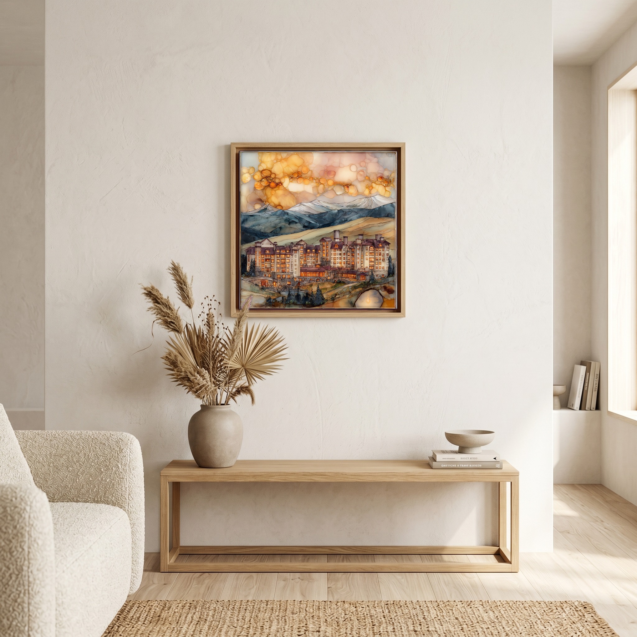
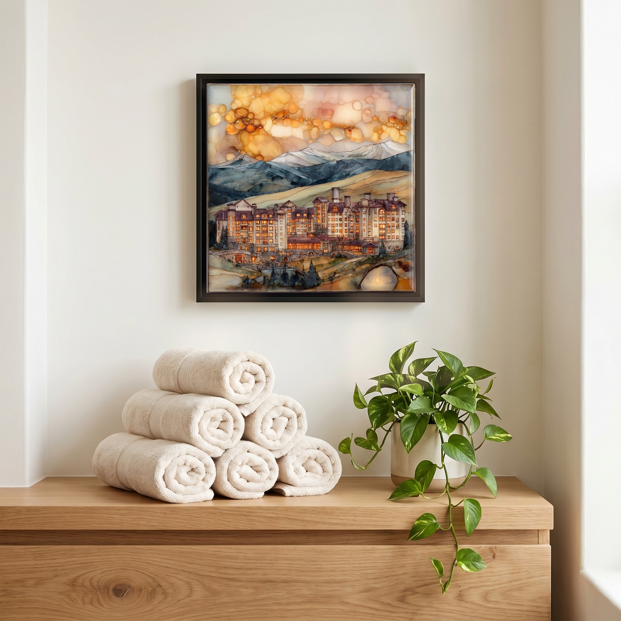
Not only on a wall.


“A range of ten numbered peaks on the western side of Summit County. From the Copper Mountain base village at 9,712 feet, the ridge runs south above the valley floor, Peak 1 closest to Frisco, the line stepping south from there. Afternoon light works its way down the ridge through the last hour of day. Skiers know it for the back bowls. Hikers know it for the Mayflower Gulch road, where the wildflowers come in late July and old mine timbers still stand where they fell.
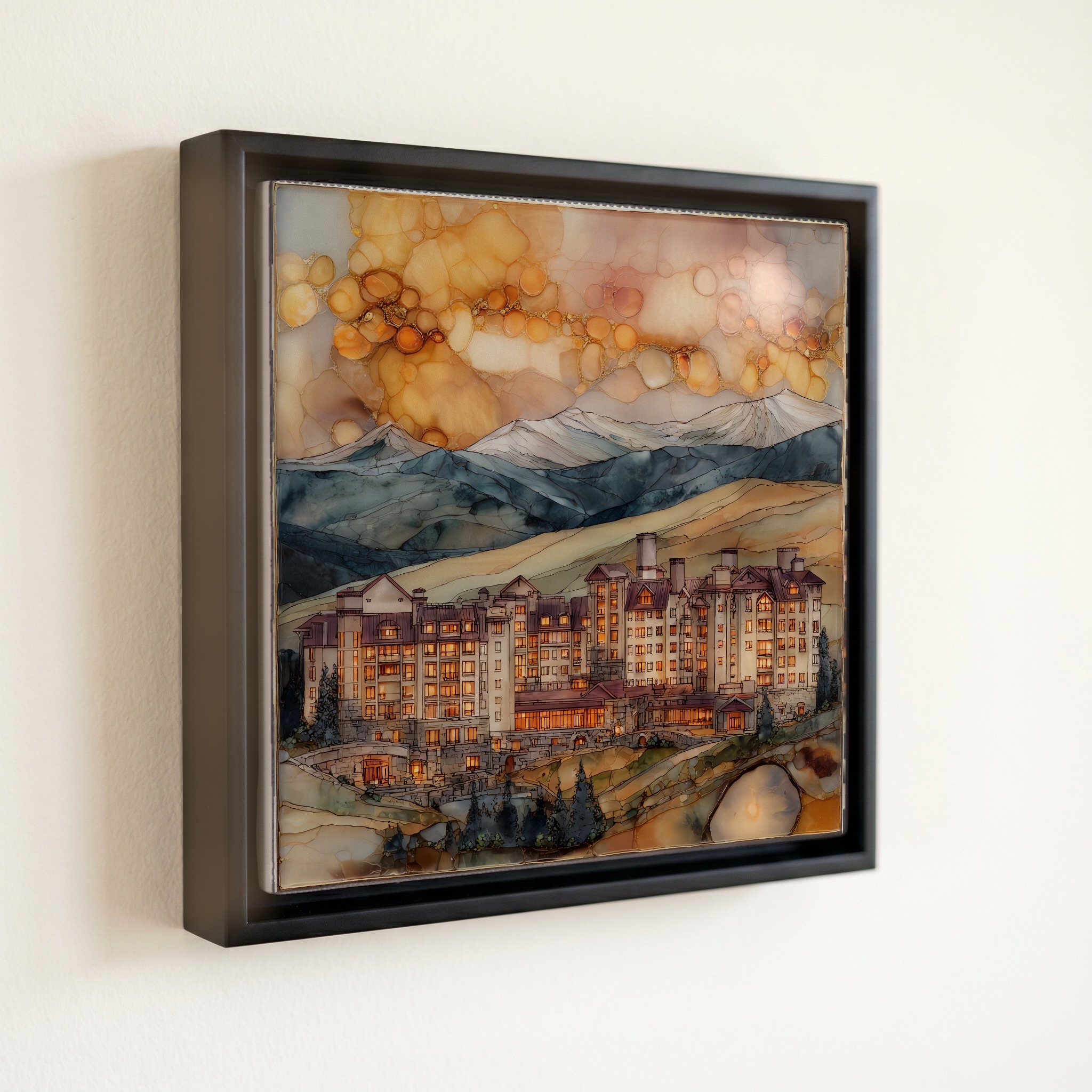
Copper Mountain Tenmile Range Ceramic Art Tile, on ceramic.
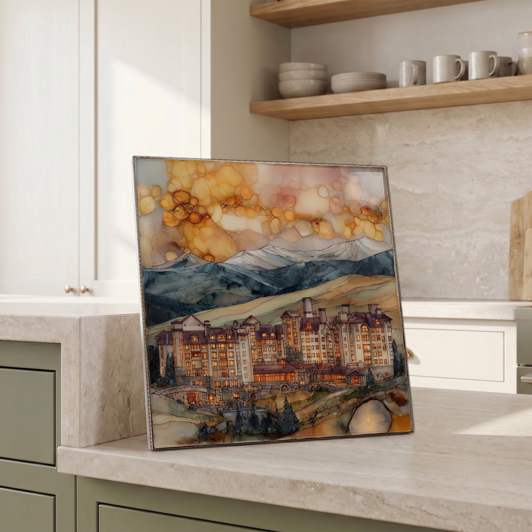
Each tile is finished by hand in our Knoxville studio. Artwork is slowly infused into the ceramic surface under high heat and pressure, and rests beneath a thin glossy finish. The colour lives in the surface, not on top of it.
Pick any four 4-inch tiles — National Parks you've been to, a Smokies set, the four seasons of one place. $ for a set of , cork-backed, ready to live on the table.
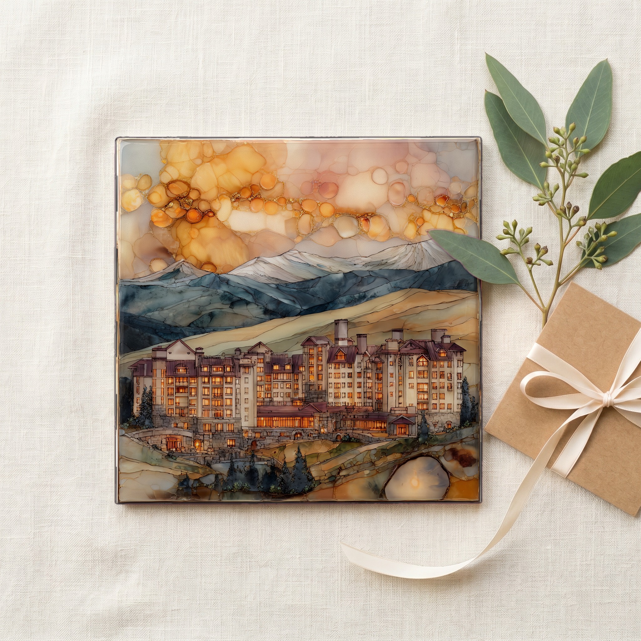
Each tile ships in a kraft box, tied with cream ribbon, with a handwritten note from the studio if you'd like to add one.

Three or five different vistas, hung together — a chapter of places you've been, or want to go.
The place, in three passes.
The Tenmile Range runs north-south through central Summit County, Colorado, dividing the Tenmile Creek drainage on the west from the Blue River valley on the east. Its peaks carry numbers rather than names: Peak 1 stands above Frisco at the north end, with Peaks 2 through 10 stepping south along the ridge toward the Quandary Peak area. The range sits within the White River National Forest, the most-visited national forest in the United States. Copper Mountain's base village opens at 9,712 feet (2,960 m) on the range's western flank, about 75 miles west of Denver via Interstate 70. Vail Pass at 10,662 feet is the highway's final climb before the Copper exit.
Late-day light works the Tenmile Range from the west, and the numbered peaks above Breckenridge hold their alpenglow long after the valley floor has dropped into shadow. Above timberline at roughly 11,500 feet, the bare rock and snowfields catch a deep pink wash for the last fifteen to thirty minutes after sunset. Photographers know the Boreas Pass road south of Breckenridge and the Sapphire Point overlook on Dillon Reservoir as classic vantages onto the ridge. The phenomenon is called alpenglow, from the German Alpenglühen: the scattering of red-end wavelengths through the longer atmospheric path at low sun angles, lighting the highest snow when the sun itself has gone.
Copper Mountain Resort typically opens in mid-November once snowmaking and natural snow allow, and closes in late April; the highest terrain runs into May in heavy snow years. The Tenmile Range holds snow on its north-facing aspects well into June, and several couloirs are skied through early summer. Summer access opens once the Forest Service road network thaws: the Mayflower Gulch trail is usually walkable by mid-June, with wildflower peak across July. Thunderstorms build most afternoons in July and August, so the standard alpine rule is to be off ridges by noon. Vail Pass on I-70 closes occasionally for avalanche control between December and March.