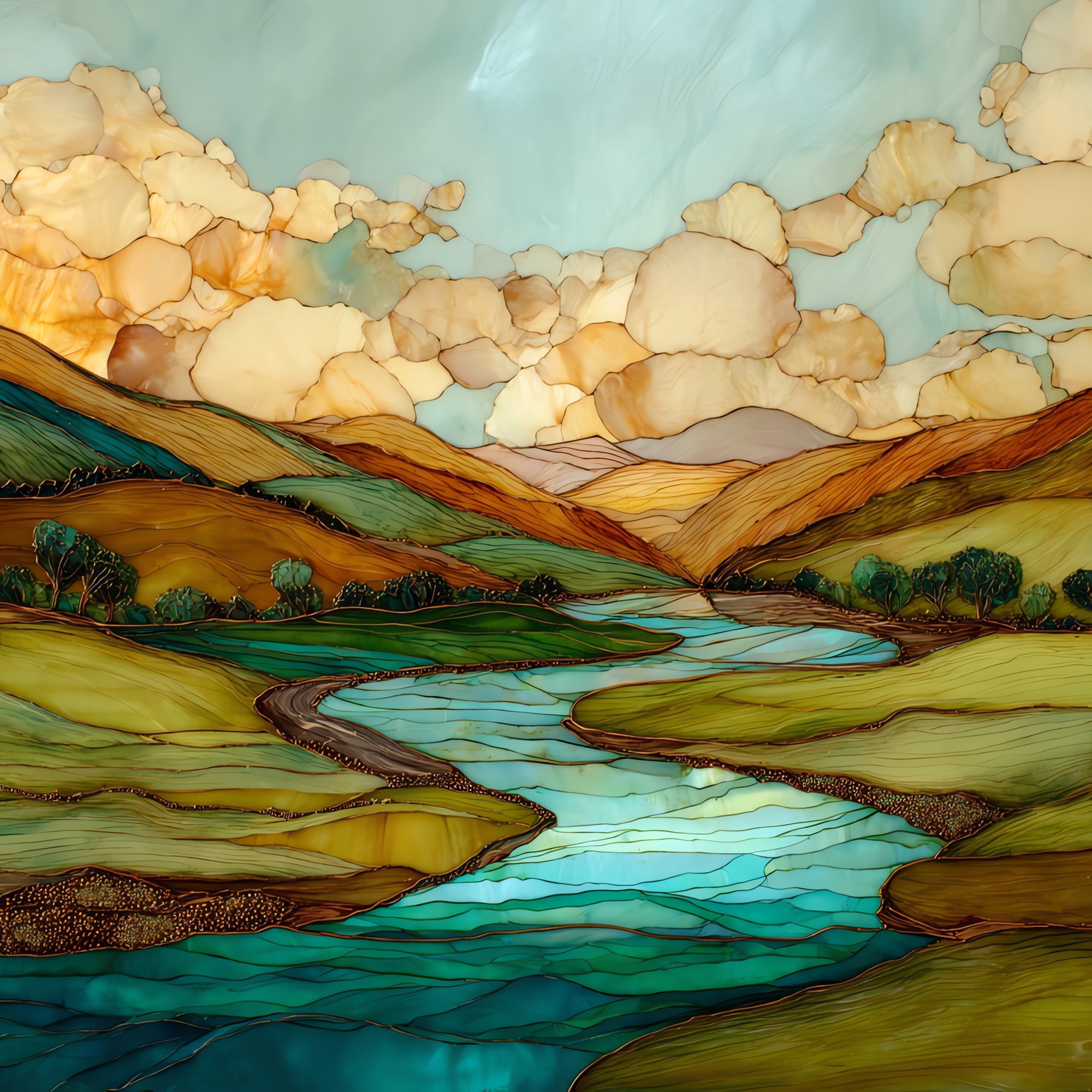
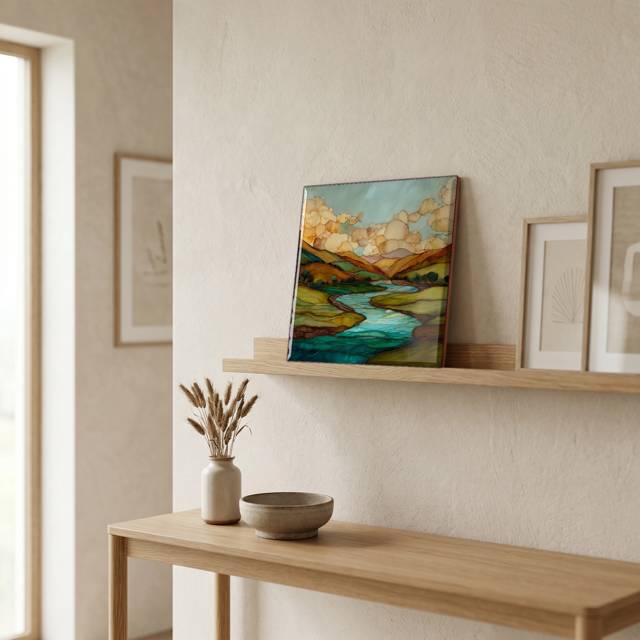
Conejos River San Juans Ceramic Art Tile
— the long green between the spires.
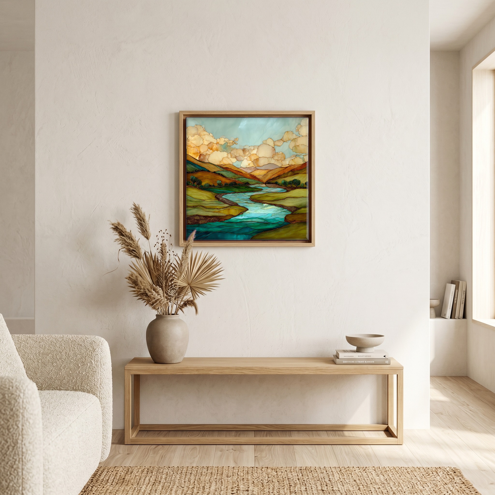
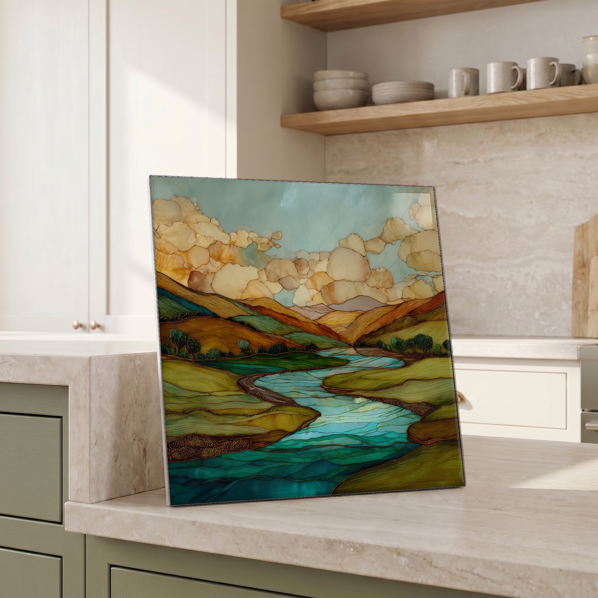
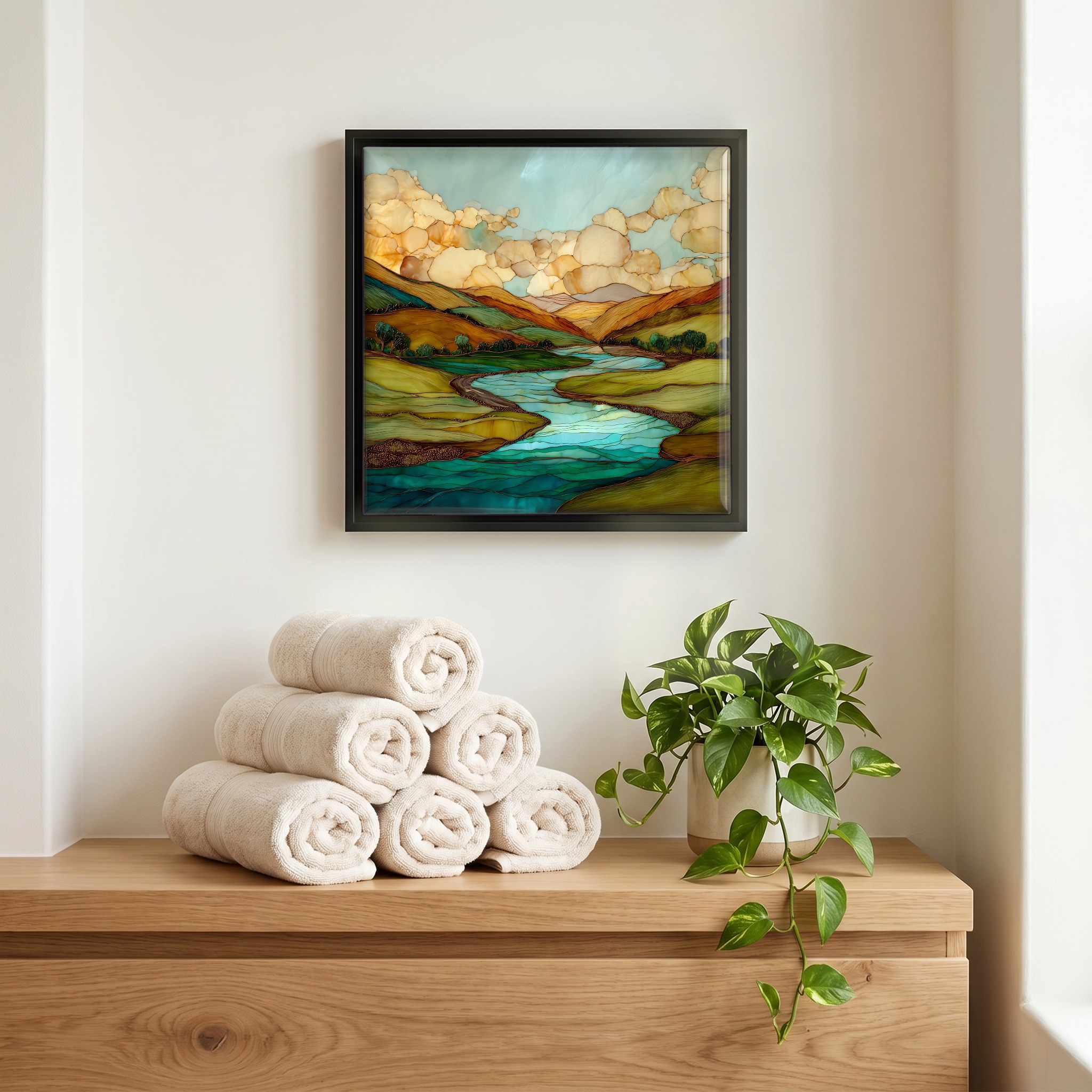
Not only on a wall.

“A river that runs ninety-two miles out of the South San Juan Wilderness, past Conejos Peak, through Platoro Reservoir, then down a canyon walled in volcanic rhyolite. The Colorado anglers who fish it tend to keep quiet about it. The Pinnacles section is fly-only water, gold-medal classified, with brown trout that hold deep in emerald pools beneath two-hundred-foot cliffs. Antonito and the Cumbres & Toltec narrow-gauge are the way in. Most of the river is reached on foot.
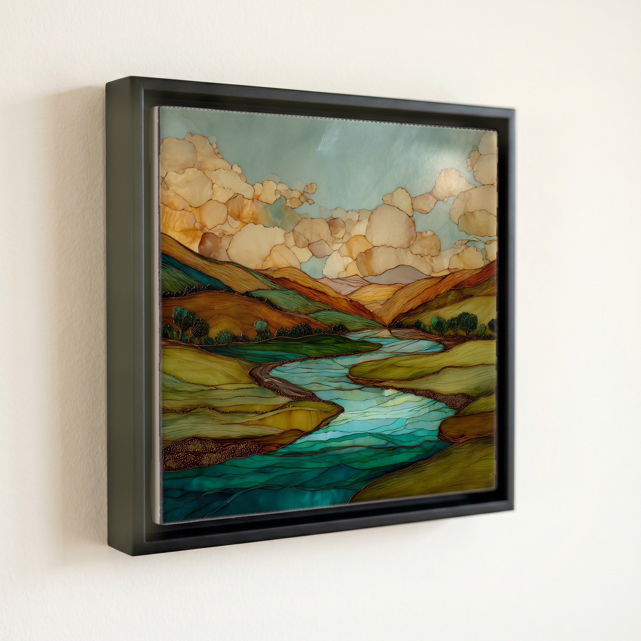
Conejos River San Juans Ceramic Art Tile, on ceramic.
Each tile is finished by hand in our Knoxville studio. Artwork is slowly infused into the ceramic surface under high heat and pressure, and rests beneath a thin glossy finish. The colour lives in the surface, not on top of it.
Pick any four 4-inch tiles — National Parks you've been to, a Smokies set, the four seasons of one place. $ for a set of , cork-backed, ready to live on the table.
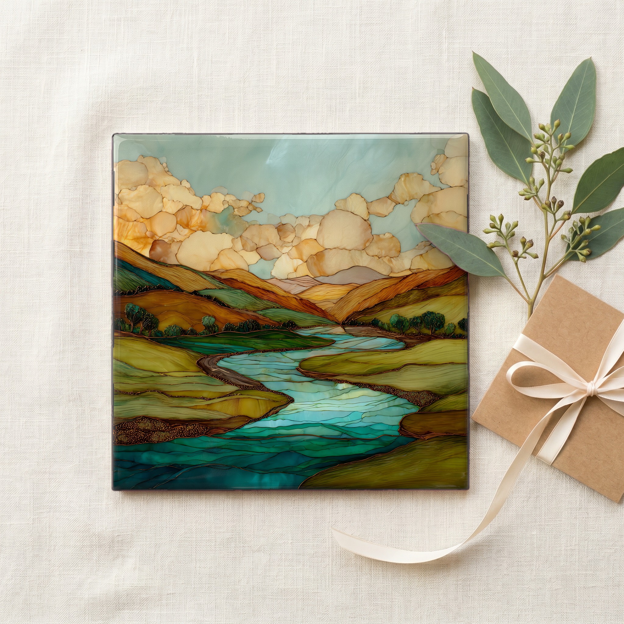
Each tile ships in a kraft box, tied with cream ribbon, with a handwritten note from the studio if you'd like to add one.
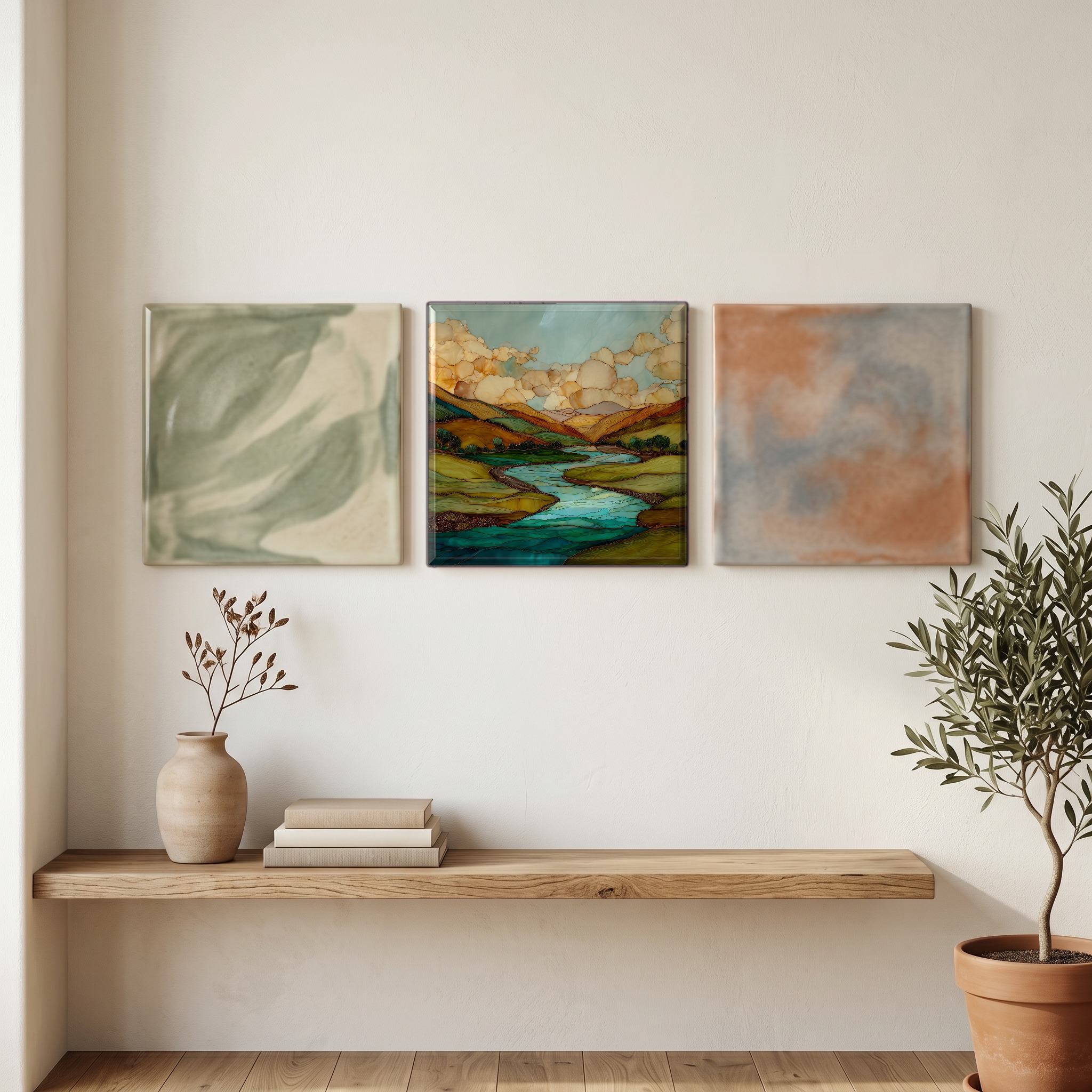
Three or five different vistas, hung together — a chapter of places you've been, or want to go.
The place, in three passes.
The Conejos River runs about 92 miles out of the South San Juan Wilderness, west of Colorado's San Luis Valley, and joins the Rio Grande roughly 15 miles southeast of Alamosa. Its headwaters rise from snowmelt along the Continental Divide near Conejos Peak (13,179 feet), in a corner of the Rio Grande National Forest that touches the New Mexico border. The river is impounded at Platoro Reservoir as part of the Bureau of Reclamation's San Luis Valley Project, then drops southeast through the forest and east along the state line through a canyon of volcanic rhyolite. The small towns of Antonito and Conejos sit at its lower end, near the confluence.
The Conejos holds Colorado's Gold Medal Water designation, a status reserved for streams with high trout biomass and consistent fish over fourteen inches. Brown trout dominate the lower river, rainbows hold the middle reaches, and Rio Grande cutthroat persist in the headwaters above Platoro. The most photographed stretch is the Pinnacles section, downstream of Platoro Reservoir, where cliffs of volcanic rhyolite rise one to two hundred feet above pools that read green in the right light. The river is a tailwater for part of its length and a freestone river for the rest. The flow is snowmelt-driven, and June through September is the dependable window.
Most of the Conejos is reached on foot. The Pinnacles section requires a hike down through volcanic talus into the canyon, and the upper river above Platoro is roadless. The Cumbres & Toltec Scenic Railroad, a coal-fired narrow-gauge that crosses the Colorado-New Mexico line, parallels parts of the lower river but stops well short of the gorge. Antonito, the small railroad town near the river's lower end, is the closest gateway with services, and the Colorado anglers who know the water tend to keep quiet about it. The South San Juan Wilderness, designated by Congress in 1980 and now totaling 158,790 acres, is among the least-trafficked wildernesses in the Rocky Mountain West.