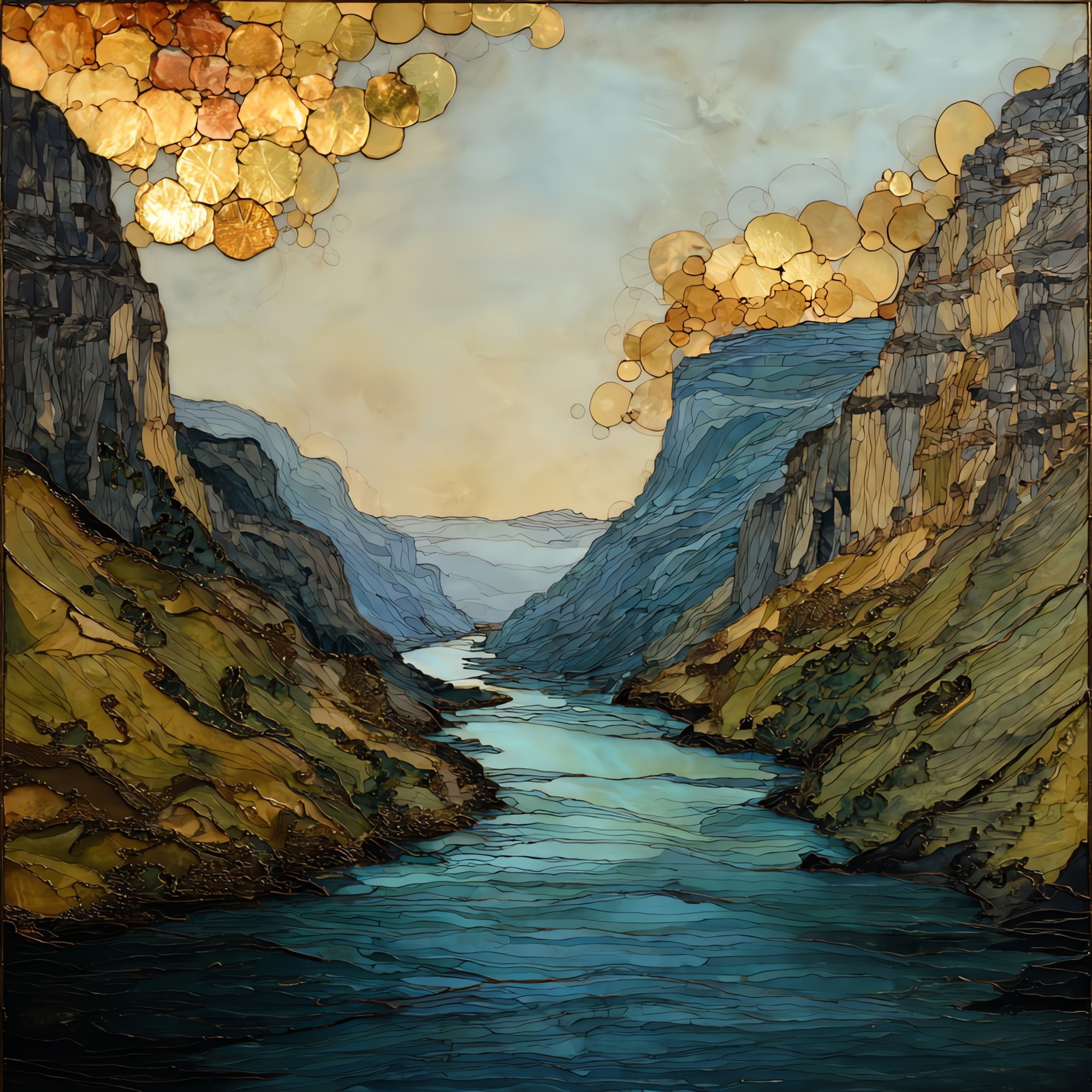
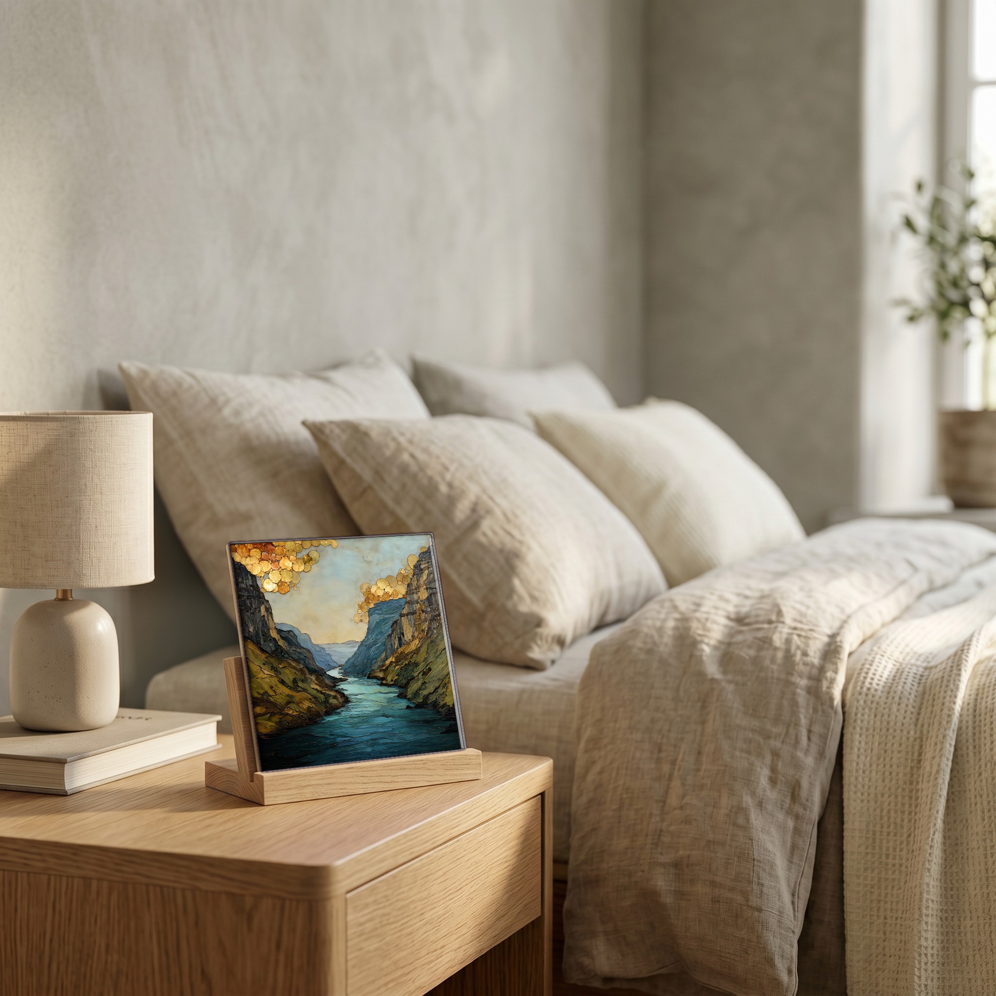
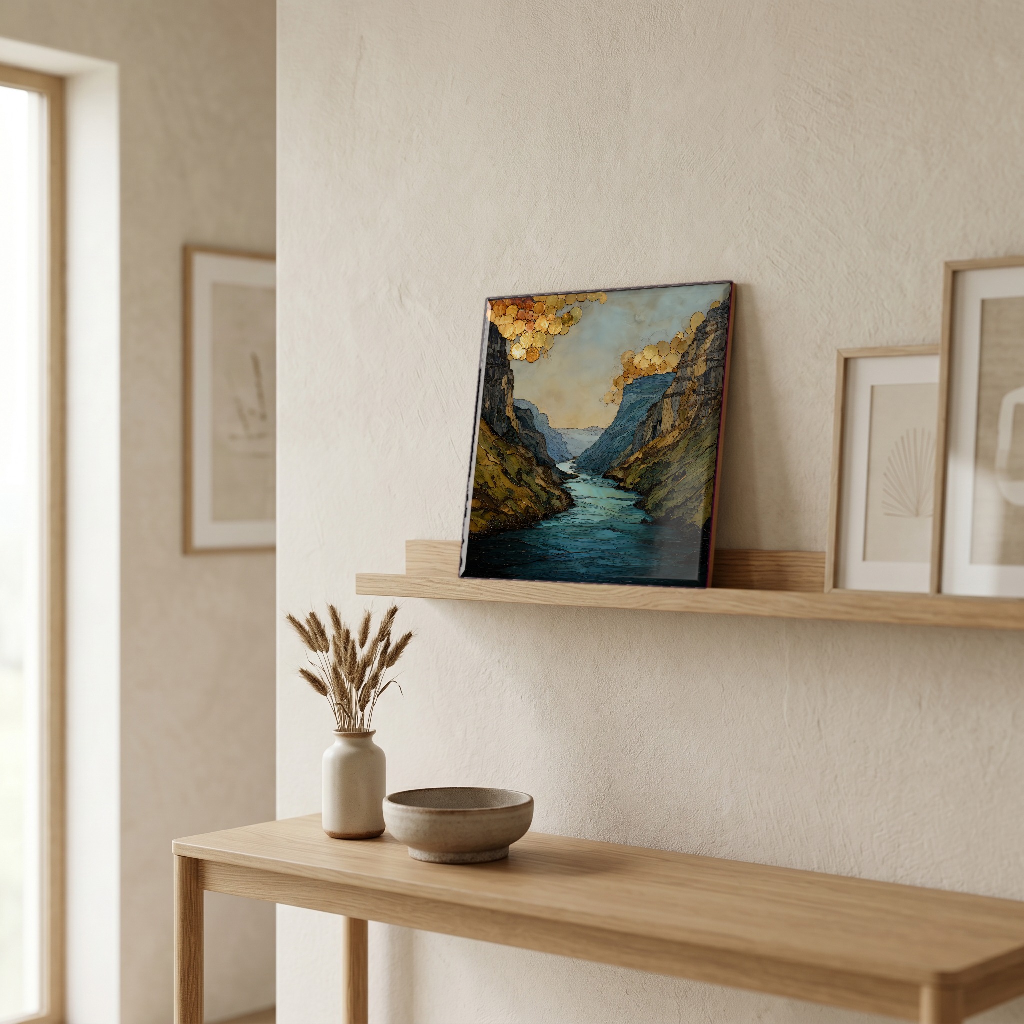
Colorado River Glenwood Canyon Ceramic Art Tile
— — the river that wrote the canyon, still writing.
Not only on a wall.
“The Colorado River through Glenwood Canyon. The river is older than every road in the West, and the most recent road took twelve years to build because the engineers kept refusing to cut the canyon to fit the highway. I-70 runs on elevated viaducts above the water, climbs into a tunnel, then returns. Rafters know where the Shoshone Rapid pulls hard against the south wall. A paved bike path runs the north bank for sixteen miles, between Glenwood Springs and Dotsero. The canyon's lower walls are Precambrian gneiss, close to two billion years old, older than almost any rock visible from a road in the country.
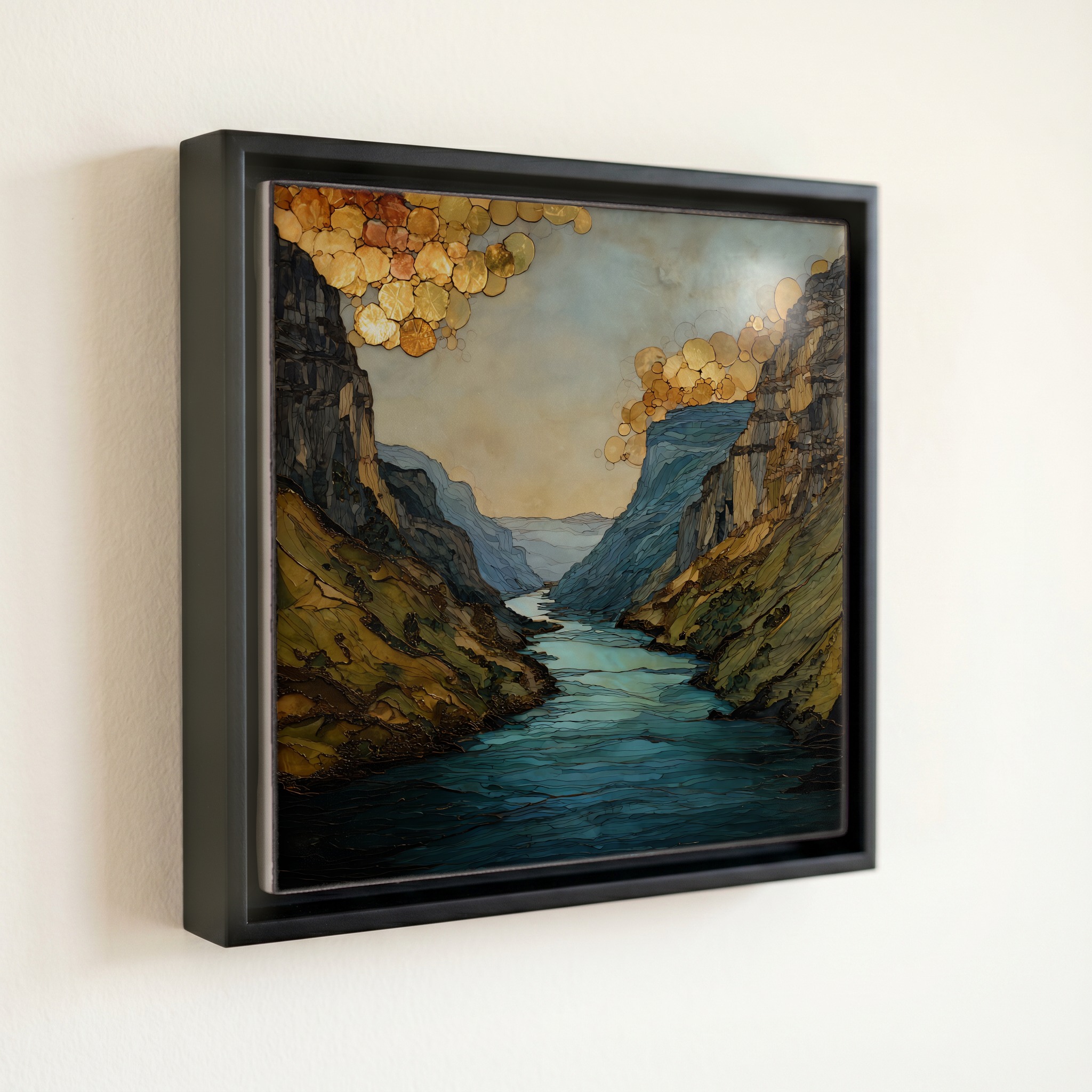
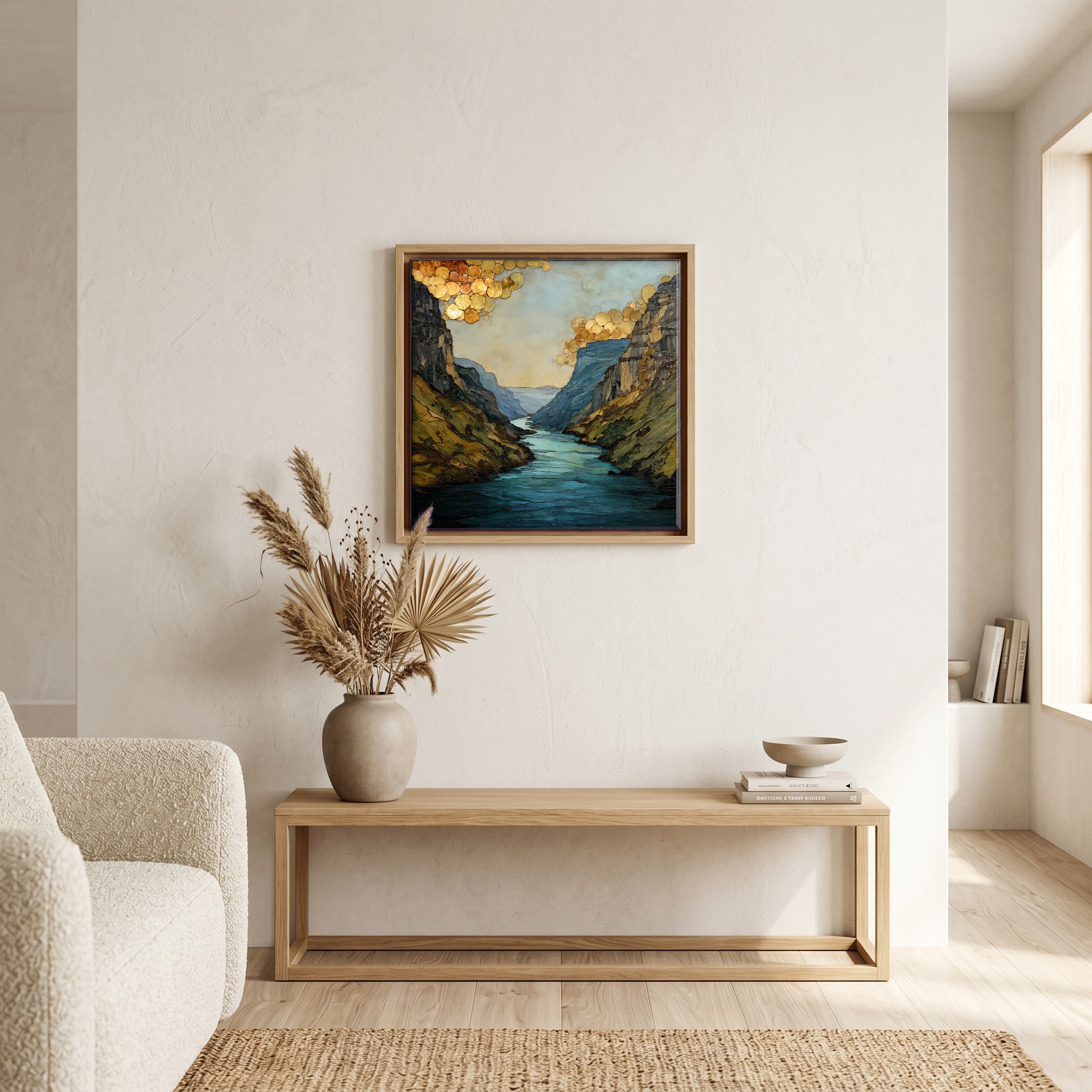
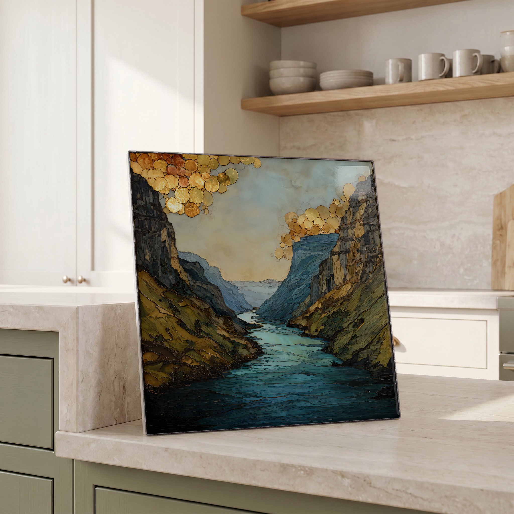
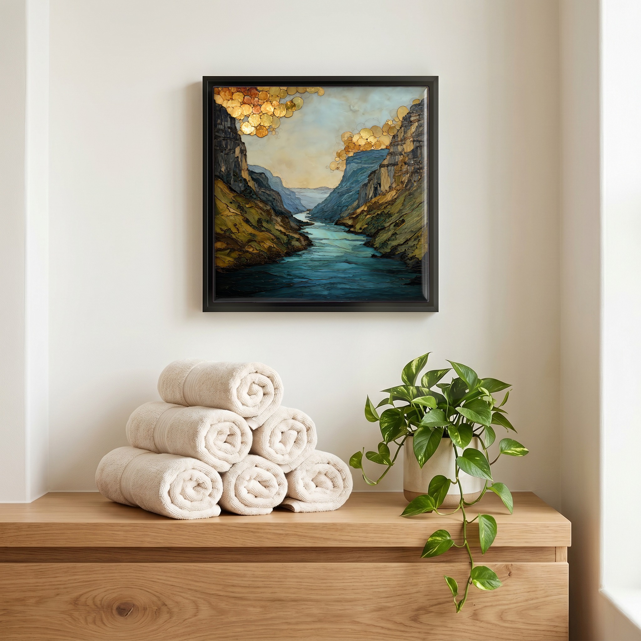
Colorado River Glenwood Canyon Ceramic Art Tile, on ceramic.
Each tile is finished by hand in our Knoxville studio. Artwork is slowly infused into the ceramic surface under high heat and pressure, and rests beneath a thin glossy finish. The colour lives in the surface, not on top of it.
Pick any four 4-inch tiles — National Parks you've been to, a Smokies set, the four seasons of one place. $ for a set of , cork-backed, ready to live on the table.

Each tile ships in a kraft box, tied with cream ribbon, with a handwritten note from the studio if you'd like to add one.
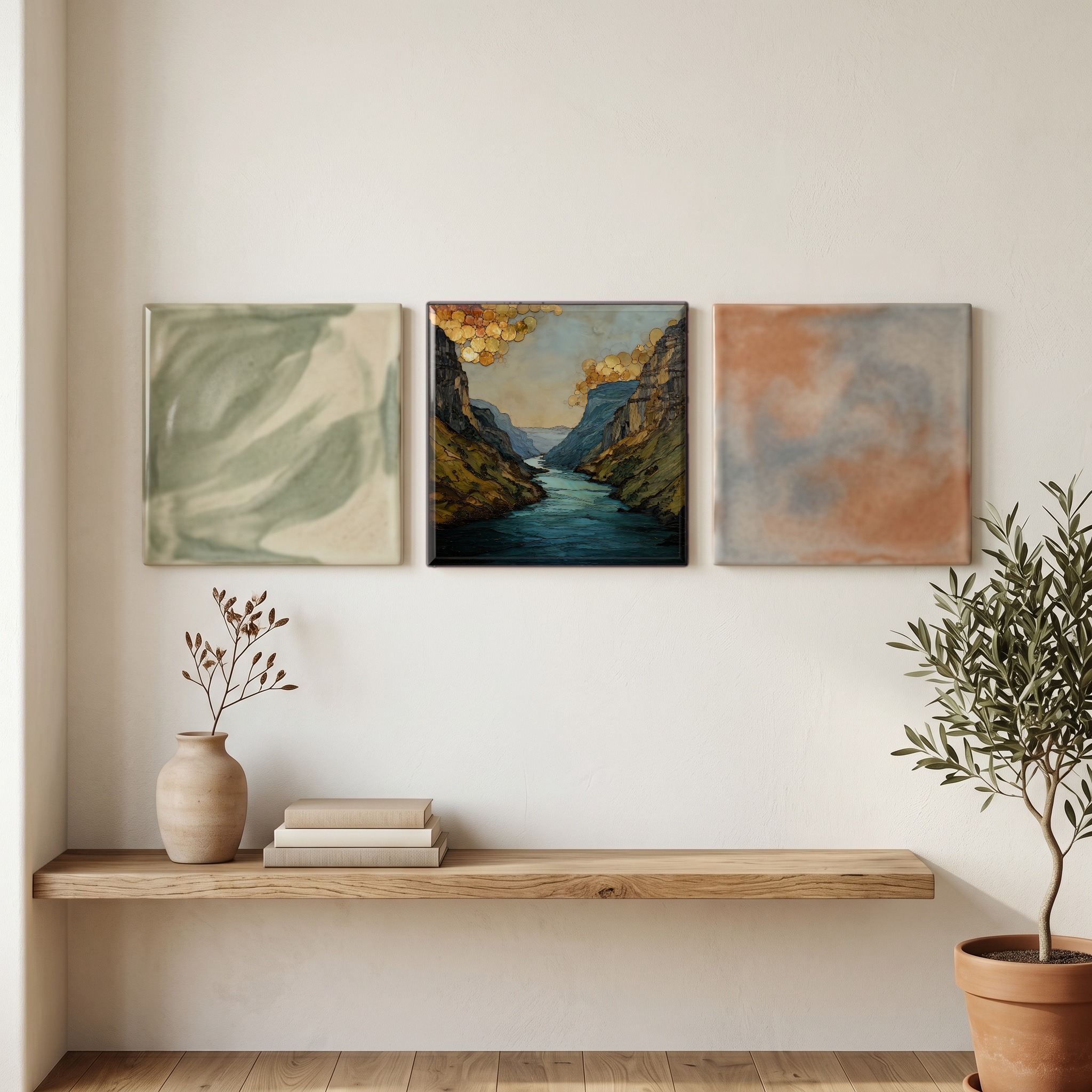
Three or five different vistas, hung together — a chapter of places you've been, or want to go.
The place, in three passes.
The Colorado River runs through Glenwood Canyon for about 12.5 miles in western Colorado, between the town of Glenwood Springs at the west end and the small community of Dotsero at the east end. The canyon walls climb roughly 1,300 feet above the river, exposing rock from two distinct geologic periods: Precambrian gneiss and schist near the water, close to 1.7 billion years old, and red and tan sedimentary layers above. The canyon sits along the western edge of the White River National Forest, in Garfield County, and the river here is on its way west, joining the Roaring Fork at Glenwood Springs and continuing through Utah and the Grand Canyon to the Gulf of California.
The river is the canyon's first and last engineer. The Colorado moves about 1,500 cubic feet per second on average in summer, less in winter, and runs notably green through this stretch, clearer and colder than the river downstream because the upstream tributaries draw from snowmelt rather than red-rock washes. Rafters run the canyon from Memorial Day through early September; the signature drop is Shoshone Rapid, rated Class III to IV, below the 1909 Shoshone Generating Station, where the river is briefly diverted through a tunnel to spin hydroelectric turbines. The station's senior water rights, dating to 1902, are among the most consequential on the Colorado River system.
Most people see the canyon from Interstate 70, which runs the length of it on a stack of elevated viaducts that took twelve years and roughly $490 million to build, finished in 1992. The route was redesigned several times to preserve the canyon, and the result was named a Civil Engineering Landmark by the American Society of Civil Engineers. Beneath the road, a paved 16-mile recreation path follows the north bank between Glenwood Springs and Dotsero, open to walkers and cyclists. The Amtrak California Zephyr passes through daily, between Denver and Salt Lake City. Hanging Lake, the canyon's most-visited side trail, now requires a permit through the Forest Service after a 2020 fire and ongoing trail repair.