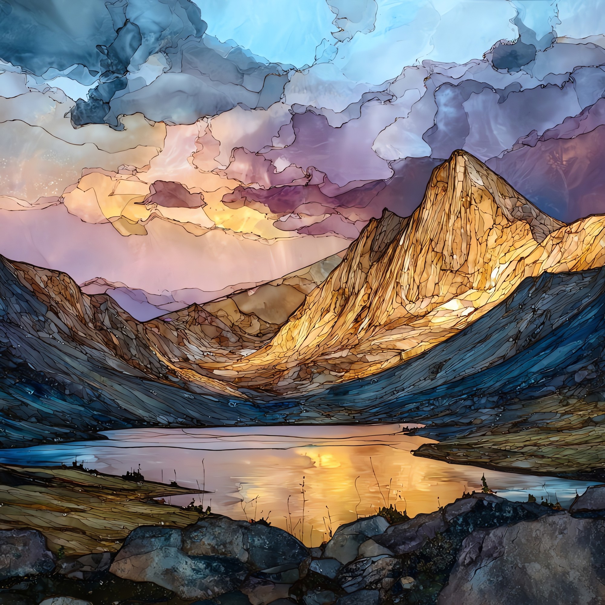
Capitol Peak knife-edge Elk Range Ceramic Art Tile
— — a thread of stone above the drop.
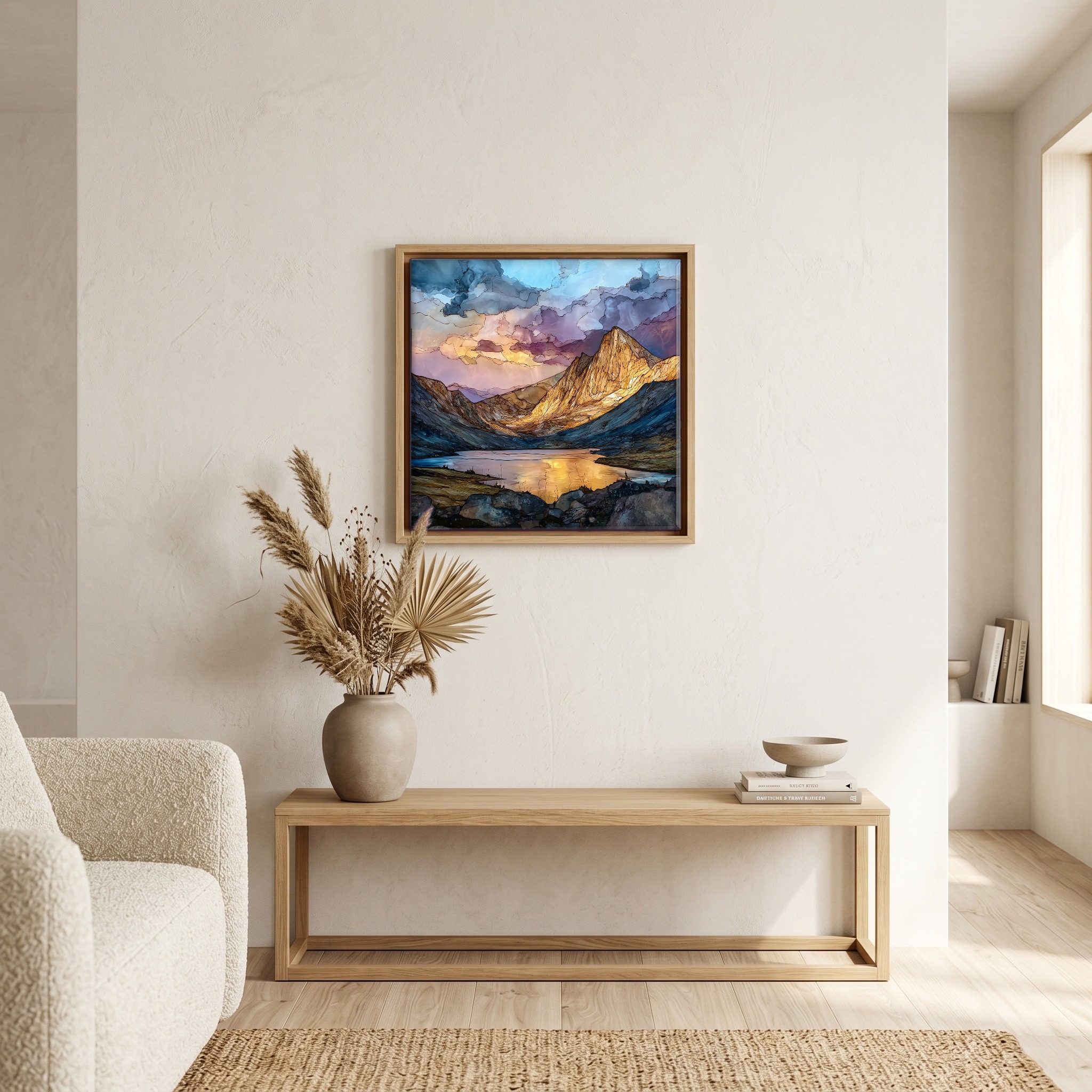
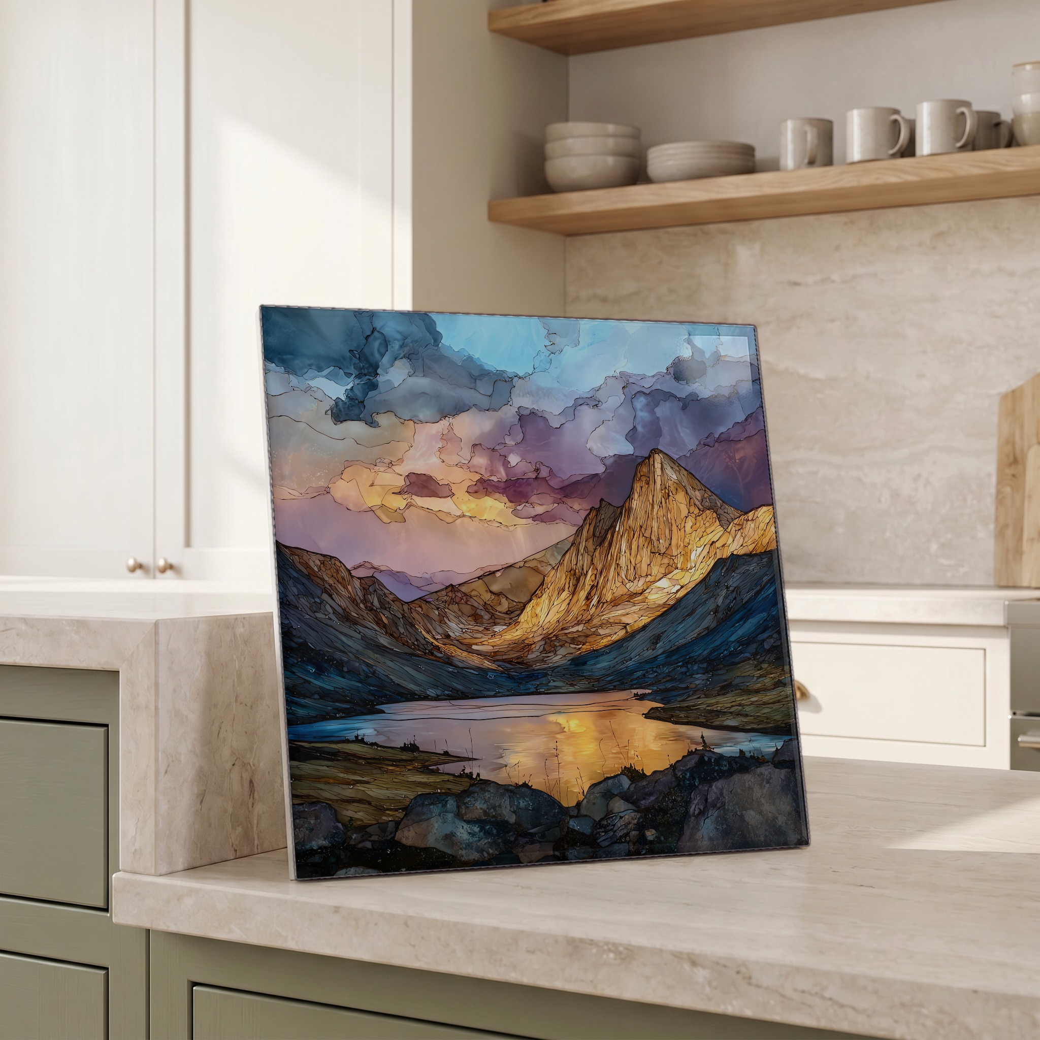
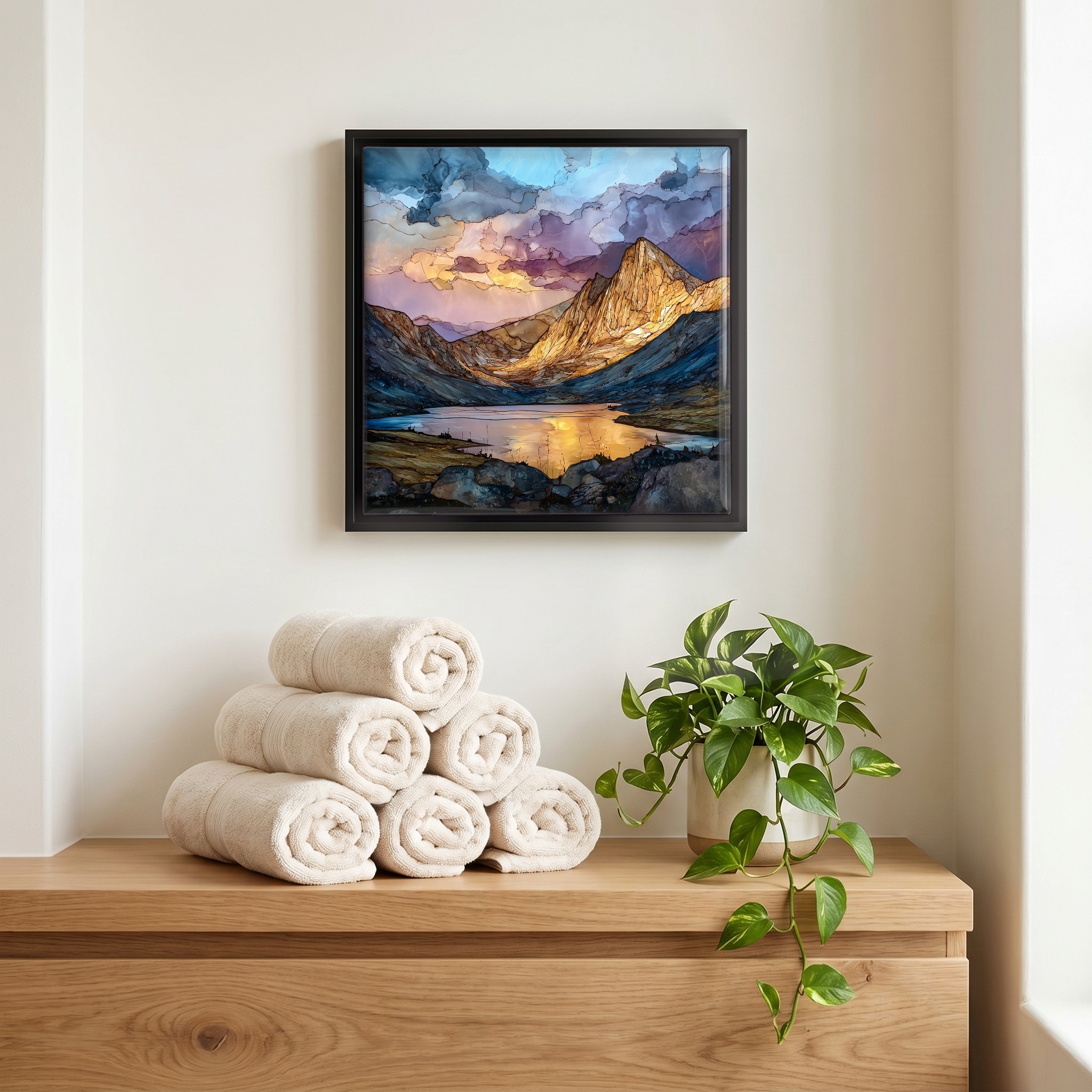
Not only on a wall.


“A 14,137-foot ridge mountain in the Elk Range, west of Aspen. The Knife Edge is what people come for and what some turn back from. It is about a hundred feet of exposed ridge no wider than a sidewalk, with a thousand-foot drop on either side. Most parties walk in from Capitol Creek, camp at Capitol Lake the night before, and start the summit push in the dark. The rock holds better than the rotting mudstone of the Maroon Bells a few drainages over, which is why Capitol is climbed and those are looked at. The summit window closes around noon when the storms build.
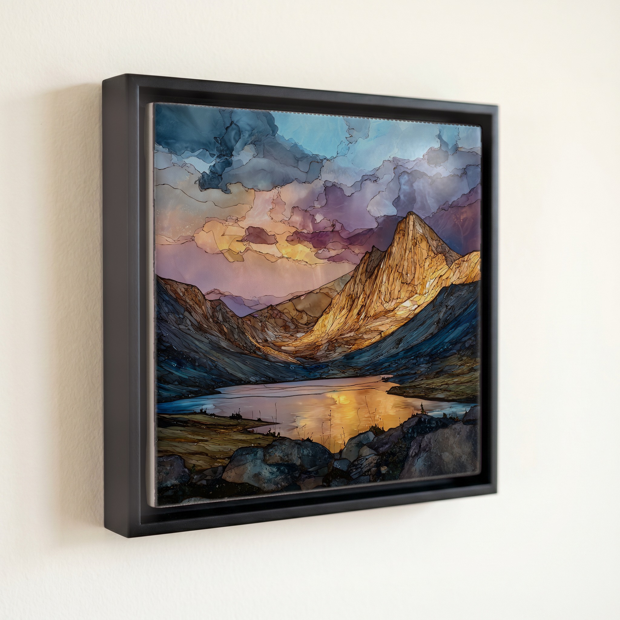
Capitol Peak knife-edge Elk Range Ceramic Art Tile, on ceramic.
Each tile is finished by hand in our Knoxville studio. Artwork is slowly infused into the ceramic surface under high heat and pressure, and rests beneath a thin glossy finish. The colour lives in the surface, not on top of it.
Pick any four 4-inch tiles — National Parks you've been to, a Smokies set, the four seasons of one place. $ for a set of , cork-backed, ready to live on the table.
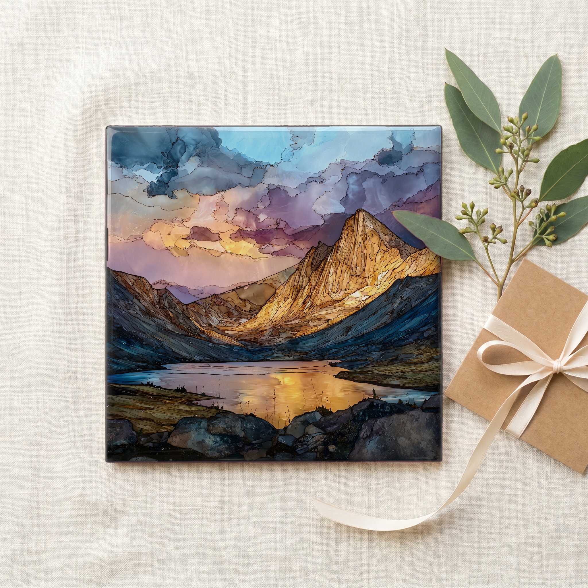
Each tile ships in a kraft box, tied with cream ribbon, with a handwritten note from the studio if you'd like to add one.

Three or five different vistas, hung together — a chapter of places you've been, or want to go.
The place, in three passes.
Capitol Peak rises to 14,137 feet in the Elk Mountains of western Colorado, inside the Maroon Bells-Snowmass Wilderness of the White River National Forest. The peak sits in Pitkin County, about 14 miles southwest of Snowmass Village and roughly 30 miles west of Aspen. It is one of fifty-eight named Colorado fourteeners and is widely regarded as the most technically demanding by its standard route, owing to the exposed Knife Edge traverse near the summit. The standard access is from the Capitol Creek Trailhead, a long approach that most parties break with an overnight camp at Capitol Lake, the alpine cirque tarn at the mountain's eastern foot.
The Knife Edge is a fin of exposed bedrock roughly 100 feet long and seldom wider than a foot, the crux of Capitol Peak's standard Northeast Ridge route. The rock here is markedly more solid than the hematite-stained mudstones of the Maroon Formation that give the nearby Maroon Bells their famous red colour and their nickname, the Deadly Bells, where the United States Forest Service has long posted warnings about crumbling holds. Capitol's older, harder bedrock is one reason its standard line, despite the exposure, sees consistent traffic through the brief July-to-September climbing window. Climbers cross the Knife Edge by straddling and shuffling along its spine, with drops of roughly a thousand feet falling away on either side.
The standard climb runs from the Capitol Creek Trailhead via Capitol Lake and the Northeast Ridge, a Class 4 route covering roughly 17 miles round-trip with about 5,300 feet of elevation gain. Most parties hike in on day one, camp at the lake, and start the summit push by 4 a.m. to clear the Knife Edge and return below the ridge before afternoon thunderstorms. The standard Colorado summer turnaround is noon. The trailhead lies off Capitol Creek Road, roughly 15 miles up a dirt spur from the small town of Old Snowmass. After a cluster of fatalities in the summer of 2017, the Pitkin County Sheriff's Office issued sustained public warnings against descending off-route, particularly on the south face.