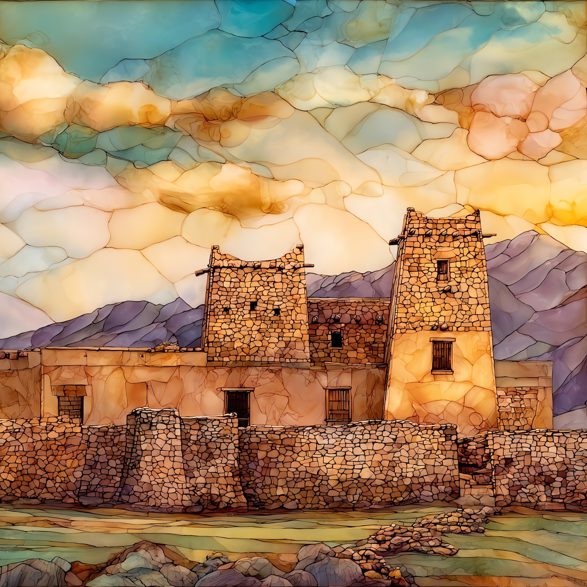
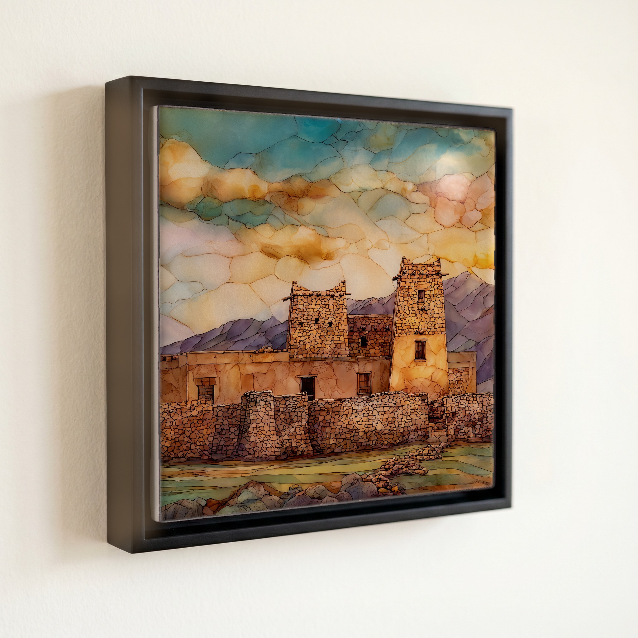
Bents Old Fort Ceramic Art Tile
— adobe in the long gold grass.
Not only on a wall.


“The fort sits on the north bank of the Arkansas, about eight miles east of La Junta. For sixteen years it was the only American outpost between Missouri and the settlements at Santa Fe, a square of adobe in the long grass where Cheyenne and Arapaho traders, Anglo travelers, and Hispanic muleteers came to trade buffalo robes. The Arkansas was the border with Mexico then. The original walls fell to flood and weather. What stands today is the 1976 reconstruction, built from the diaries and the dig. The artwork is for the families with great-grandparents on the Trail, the kid who came on a fourth-grade field trip and never forgot, the rancher who watches the river from his porch.
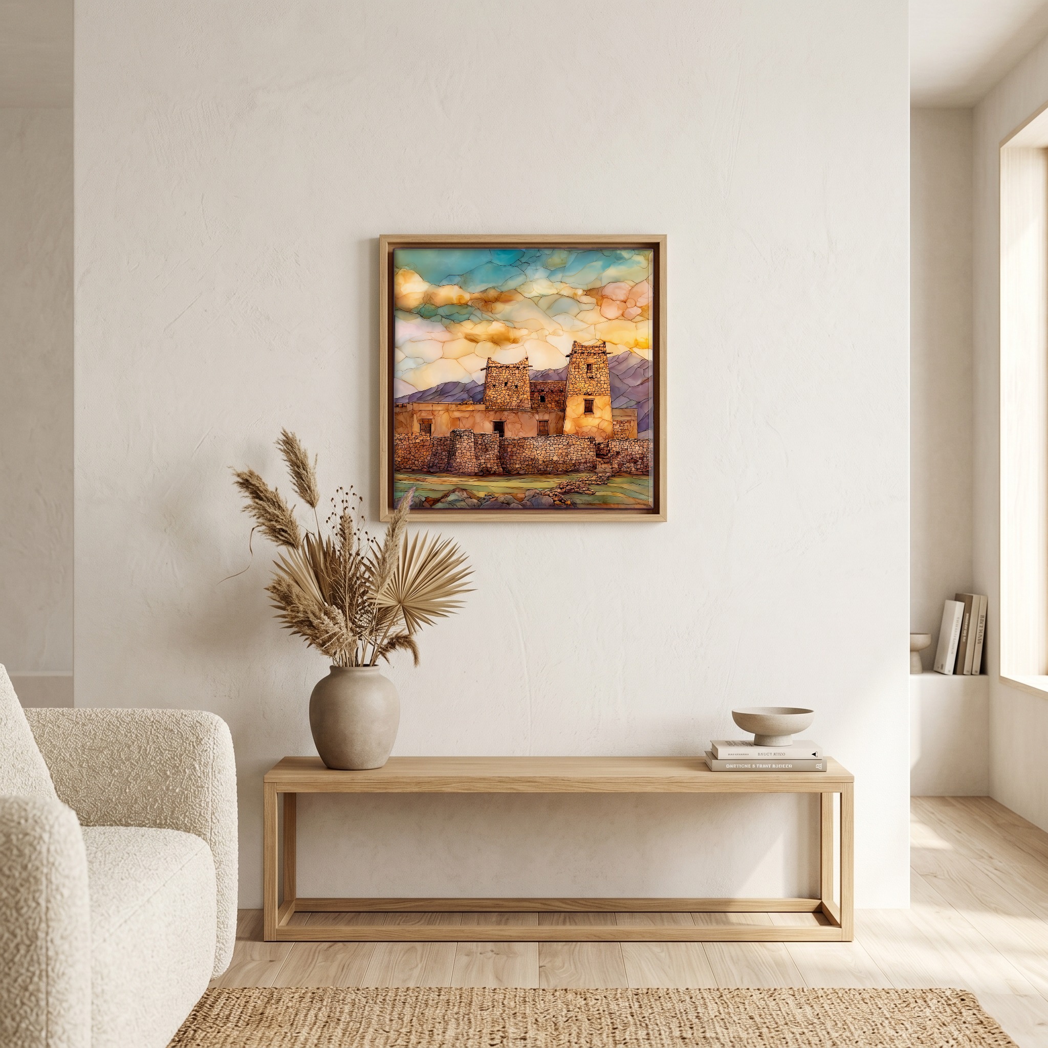
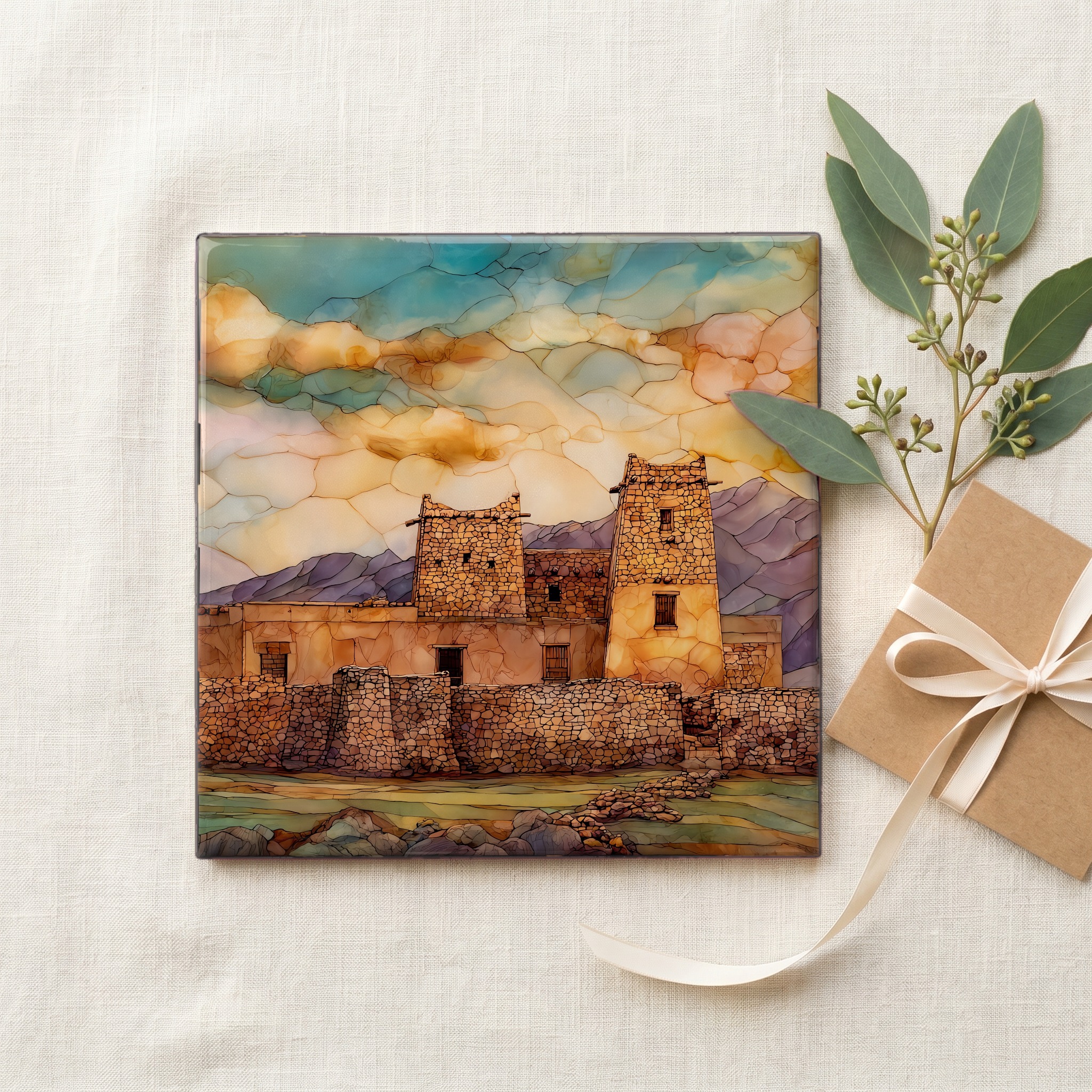
Bents Old Fort Ceramic Art Tile, on ceramic.
Each tile is finished by hand in our Knoxville studio. Artwork is slowly infused into the ceramic surface under high heat and pressure, and rests beneath a thin glossy finish. The colour lives in the surface, not on top of it.
Pick any four 4-inch tiles — National Parks you've been to, a Smokies set, the four seasons of one place. $ for a set of , cork-backed, ready to live on the table.
Each tile ships in a kraft box, tied with cream ribbon, with a handwritten note from the studio if you'd like to add one.

Three or five different vistas, hung together — a chapter of places you've been, or want to go.
The place, in three passes.
Bent's Old Fort sits at 4,035 feet on the north bank of the Arkansas River in Otero County, eight miles east of La Junta on Colorado Highway 194. Charles Bent, William Bent, and Ceran St. Vrain built the original adobe trading post in 1833, 180 feet long and 135 feet wide, with walls fifteen feet high. For sixteen years it was the only major American settlement on the Mountain Branch of the Santa Fe Trail between Missouri and the Mexican border at the river. The site was designated a National Historic Site on June 3, 1960, and reconstructed by the National Park Service in 1976 from archaeological evidence and traders' diaries.
The original walls were stamped adobe, sun-cured mud brick made from the same Arkansas River clay the fort stood on. Bent and his crew laid them up 180 by 135 feet, with corner bastions at opposite angles and an interior plaza wide enough to turn a wagon team. Flood and weather took the structure down after William Bent abandoned it in 1849, and the 1921 flood of the Arkansas erased the last visible courses. What stands today is the 1976 National Park Service reconstruction, raised on the original footprint in stamped-adobe technique, guided by the archaeological dig and by the 1845 sketches Lieutenant J.W. Abert made when he was billeted at the fort on a topographical expedition.
The fort stands on the shortgrass prairie of southeastern Colorado, where blue grama and buffalo grass run to the horizon under a sky big enough to read all afternoon. At 4,035 feet the air is dry, the wind is steady, and the temperature swings hard between day and night. Tree cover is thin: cottonwoods along the Arkansas, almost nothing on the upland. When the fort was active in the 1830s and 1840s, a traveler coming up from Missouri saw the walls long before he reached them, the way a ship's sail shows above the curve of the sea. The Comanche National Grassland begins a few miles south.