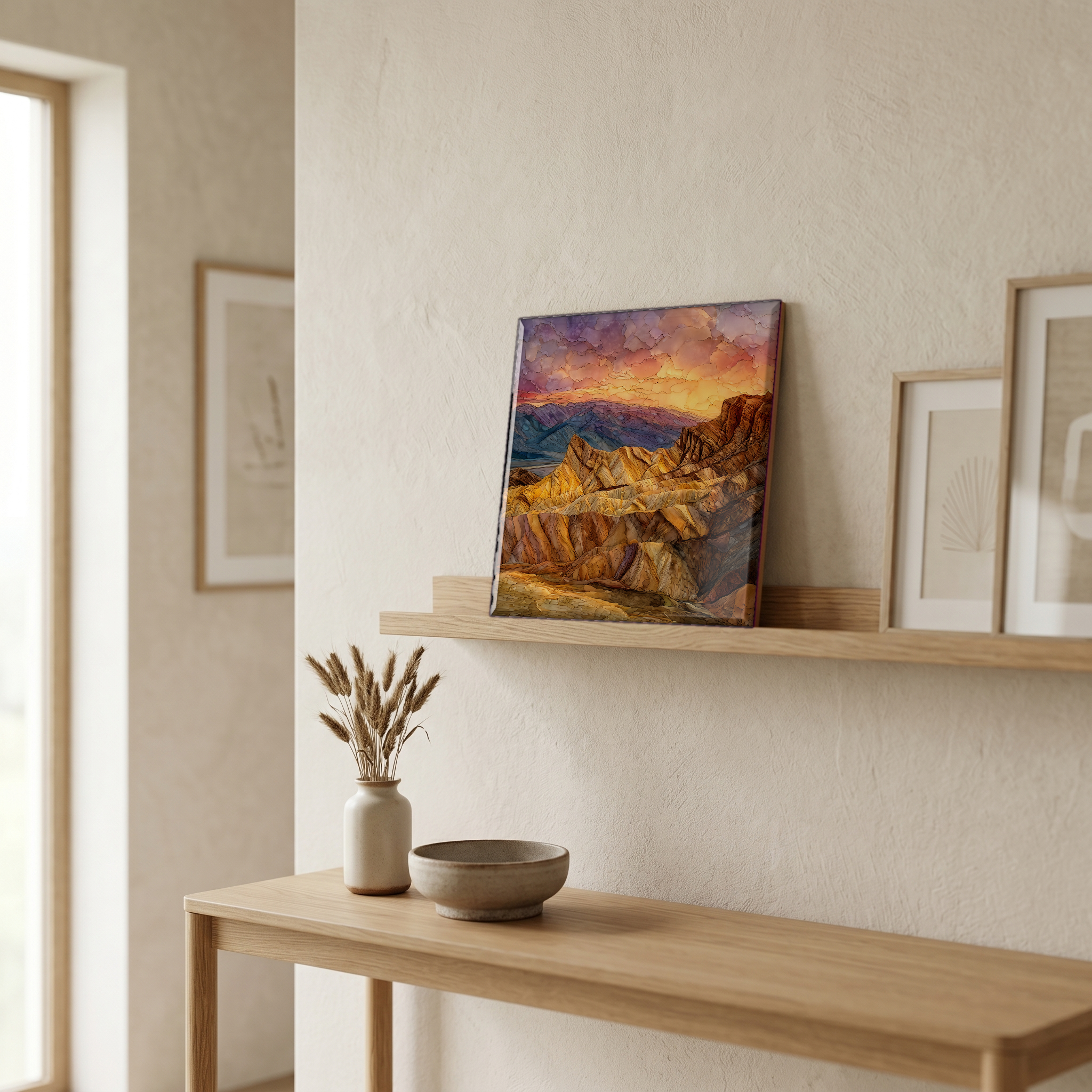
Zabriskie Point Sunrise
— — the first ten minutes of the desert day.
Not only on a wall.

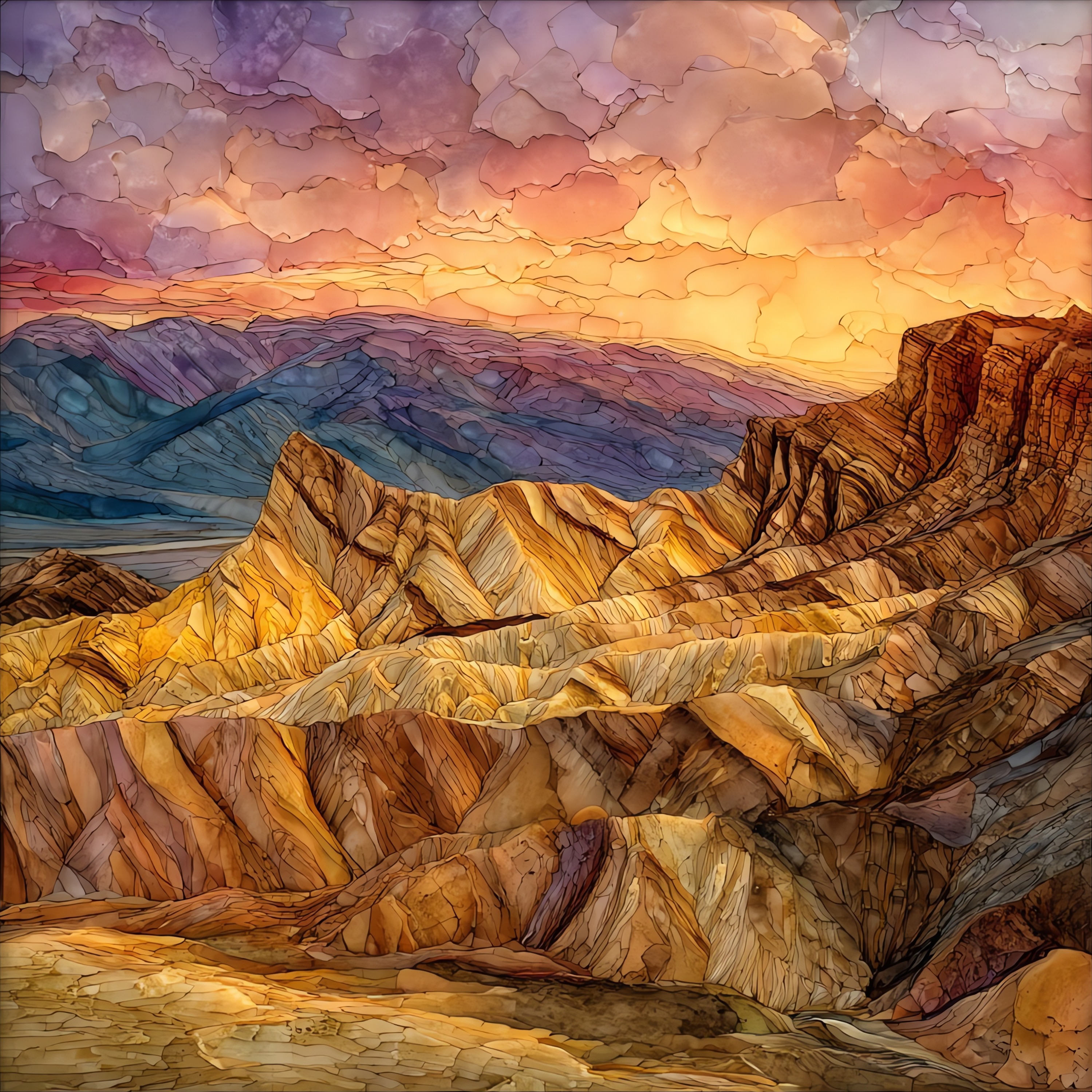
“A low ridge of folded badlands on the eastern wall of Death Valley, four miles southeast of Furnace Creek on California State Route 190. The viewpoint looks west across a sea of eroded yellow mudstone, with Manly Beacon as the dark spire in the middle distance and the Panamint Range standing on the far side of the valley. At sunrise the first light comes from behind the parking lot and rakes across the formation east to west, turning the pale grey hills gold for about ten minutes before the relief flattens out for the rest of the day. The mudstone is Furnace Creek Formation, laid down by saline lakes between about six and five million years ago, then tilted and broken by Basin and Range stretching. The wind moves dust in slow sheets across the floor below.
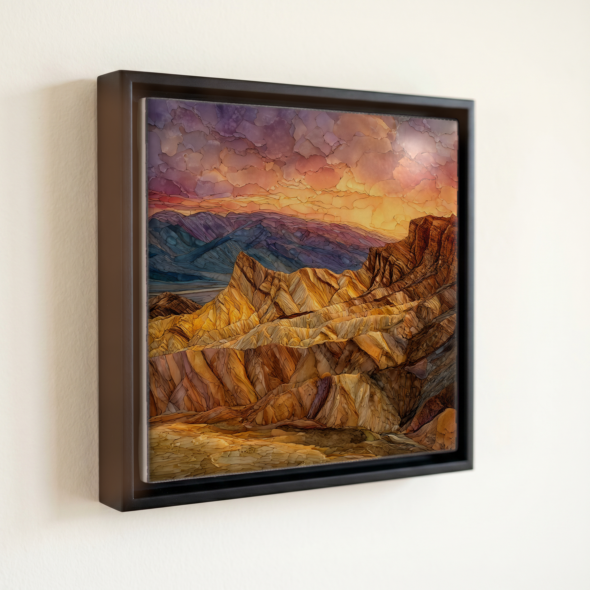
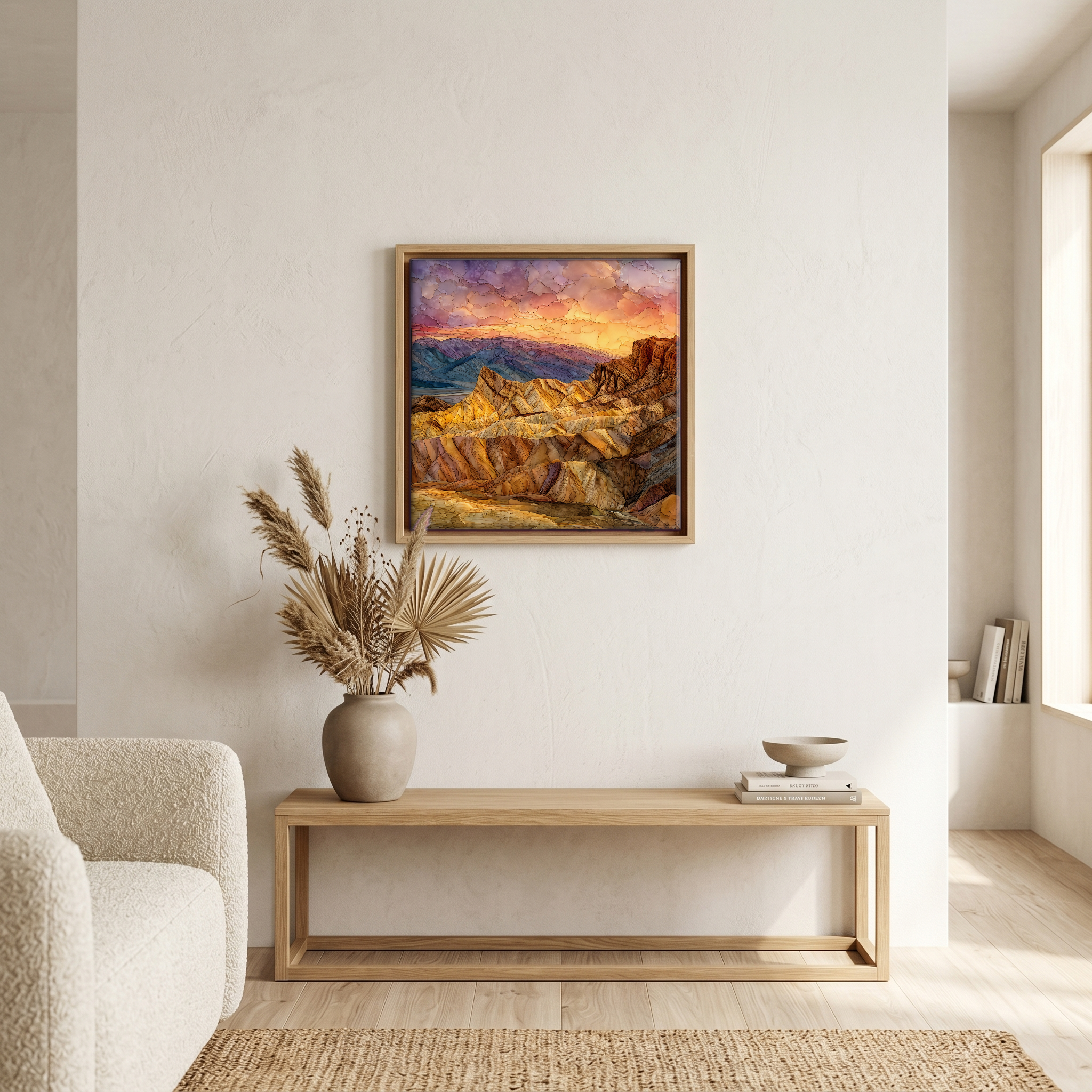
Zabriskie Point Sunrise, on ceramic.
Each tile is finished by hand in our Knoxville studio. Artwork is slowly infused into the ceramic surface under high heat and pressure, and rests beneath a thin glossy finish. The colour lives in the surface, not on top of it.
Pick any four 4-inch tiles — National Parks you've been to, a Smokies set, the four seasons of one place. $ for a set of , cork-backed, ready to live on the table.

Each tile ships in a kraft box, tied with cream ribbon, with a handwritten note from the studio if you'd like to add one.

Three or five different vistas, hung together — a chapter of places you've been, or want to go.
The place, in three passes.
Zabriskie Point is a viewpoint on California State Route 190 in Death Valley National Park, in Inyo County, California, about four miles southeast of Furnace Creek and a short uphill walk from the parking area. The viewpoint sits at roughly 824 feet of elevation above sea level, looking west over the Furnace Creek badlands toward the Panamint Range on the far side of the valley. It is named for Christian Brevoort Zabriskie, who ran the Pacific Coast Borax Company's local operations in the early twentieth century. The park is administered by the National Park Service and is the largest national park in the contiguous United States by area, at over 3.4 million acres of basin-and-range desert.
The viewpoint faces west, which makes it a sunrise place rather than a sunset one. In the first ten minutes of light the sun rises behind the visitor and rakes across the badlands at a low angle, exaggerating every fold and warming the grey-tan mudstone to a deep yellow-gold. By the time the sun is fifteen degrees above the horizon the relief flattens and the formation reads pale grey for the rest of the day. In winter, when the sun rises south of due east, the foreground ridges throw long blue shadows across Manly Beacon, the largest dark peak in the view. The point has drawn landscape photographers since the 1940s; Ansel Adams photographed the formation in winter morning light.
The badlands at Zabriskie Point are part of the Furnace Creek Formation, a sequence of mudstone, siltstone, and freshwater limestone laid down between about six and five million years ago, when the area was a chain of saline lakes. The formation is rich in sodium borate; the Pacific Coast Borax Company mined the deposits nearby in the 1880s, and the twenty-mule team wagons hauled refined borax out of Furnace Creek to the railhead at Mojave, a 165-mile route. The folding and faulting that gave the hills their tilted bedding is the work of Basin and Range crustal stretching, which is still pulling Death Valley apart by a few millimetres a year. Manly Beacon is capped by a more resistant layer that has survived while softer beds eroded around it.