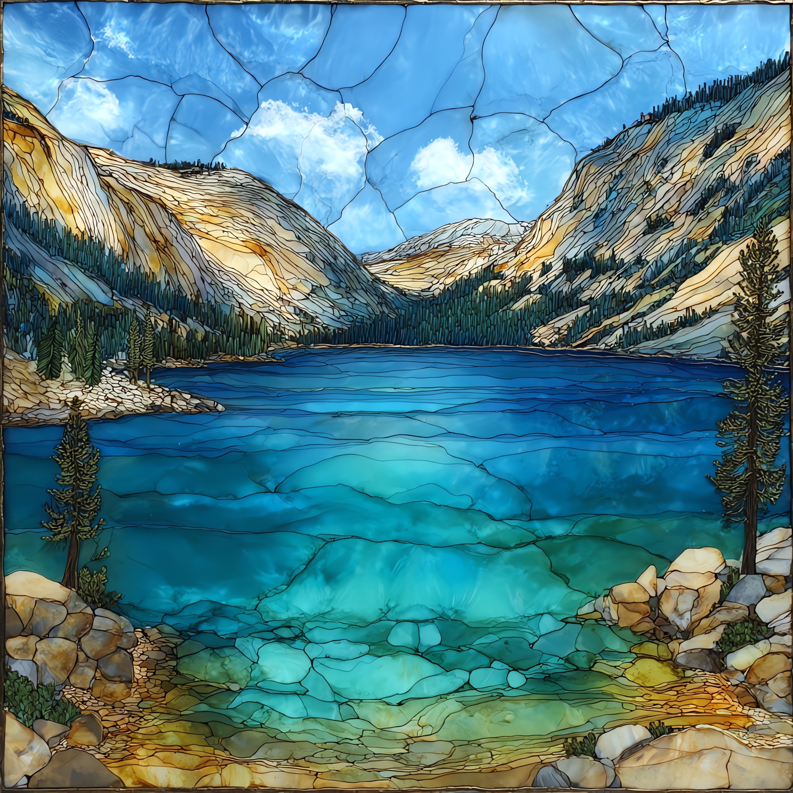
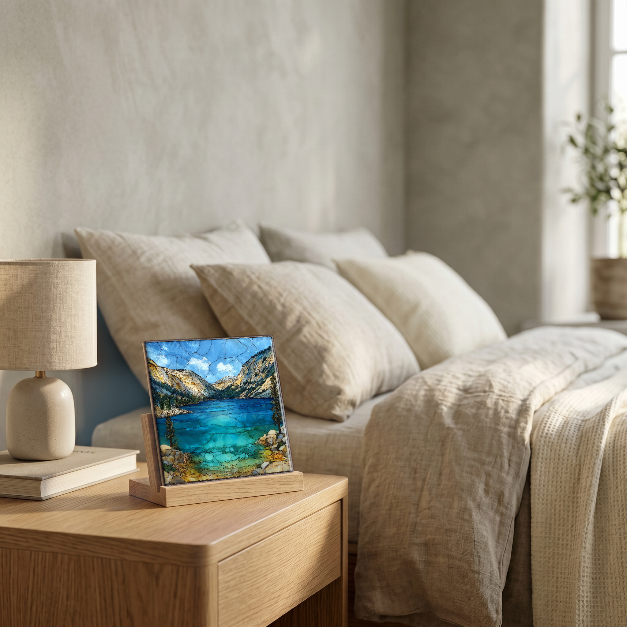
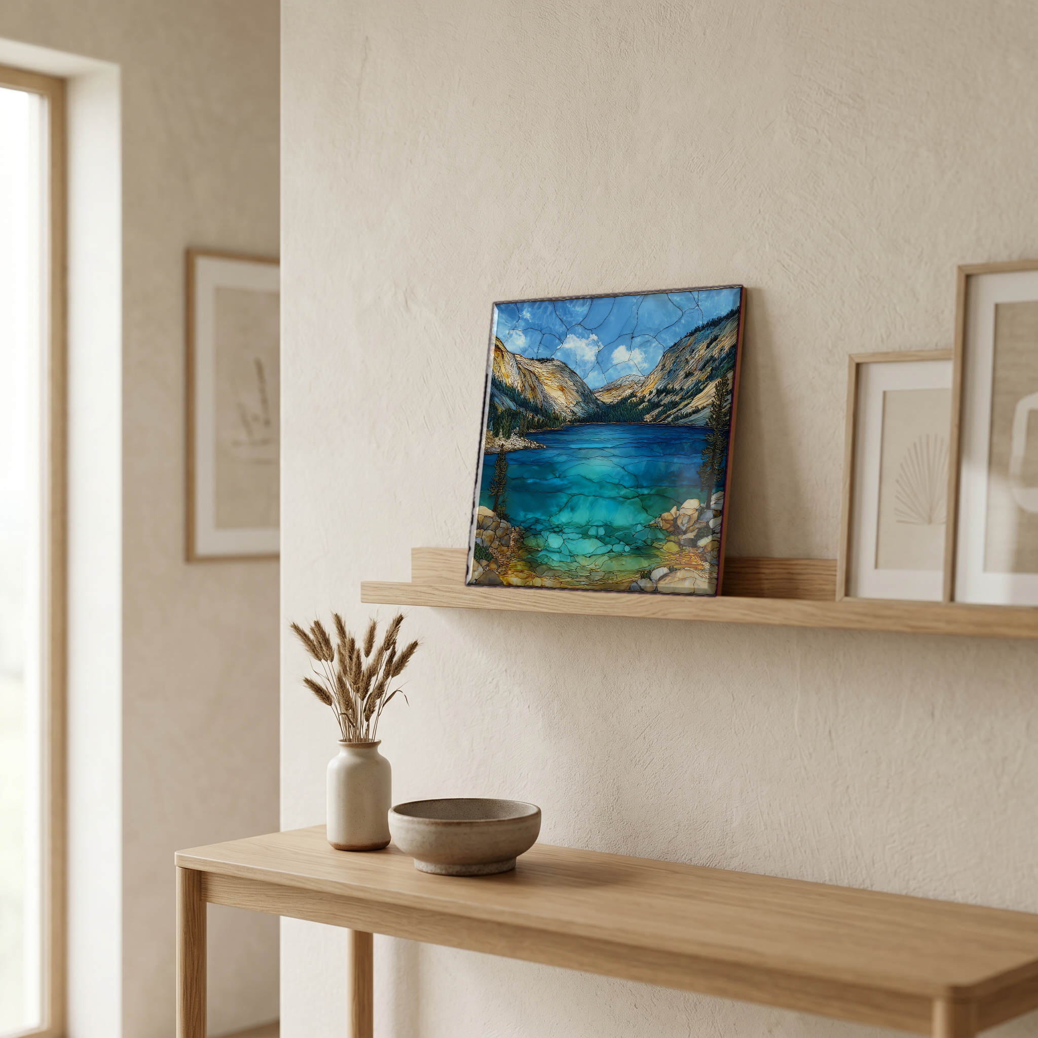
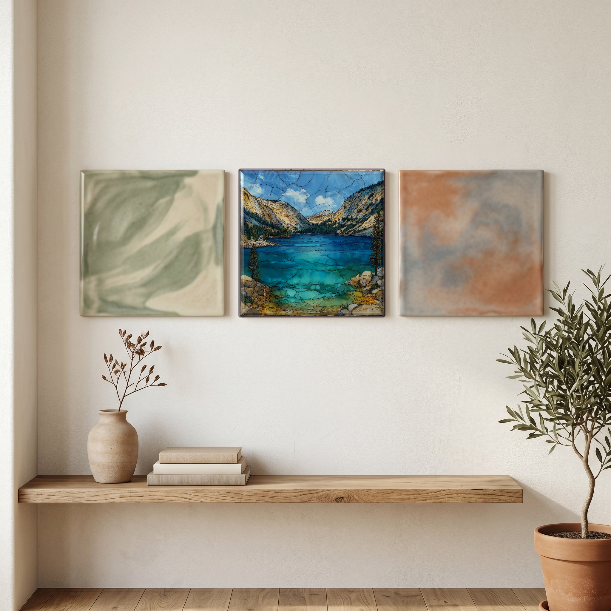
Tenaya Lake
— — the cold blue the glacier left.
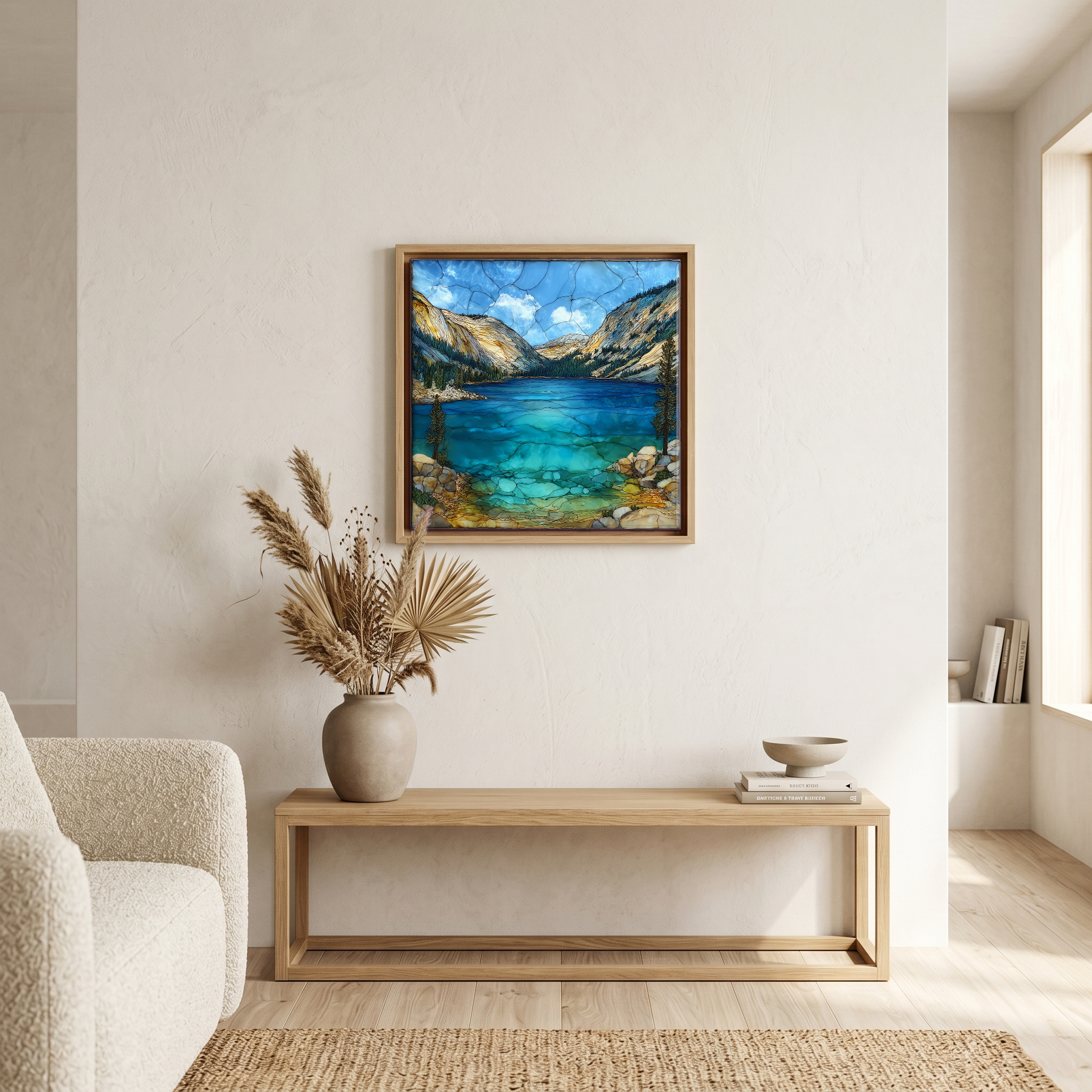
Not only on a wall.
“A glacial lake at about 8,150 feet on the Tioga Road through Yosemite, between Tuolumne Meadows and Olmsted Point. The Tenaya Glacier carved this basin out of the granite and pulled back, leaving the dome-and-bowl shape and the cold water it holds today. The road is open only from late spring to mid-autumn most years; in summer the lake's east end is one of Yosemite's quieter swimming beaches, with Polly Dome rising directly above it. The Ahwahneechee chief Tenaya, for whom the lake was renamed, had called it Py-we-ack, the lake of the shining rocks.
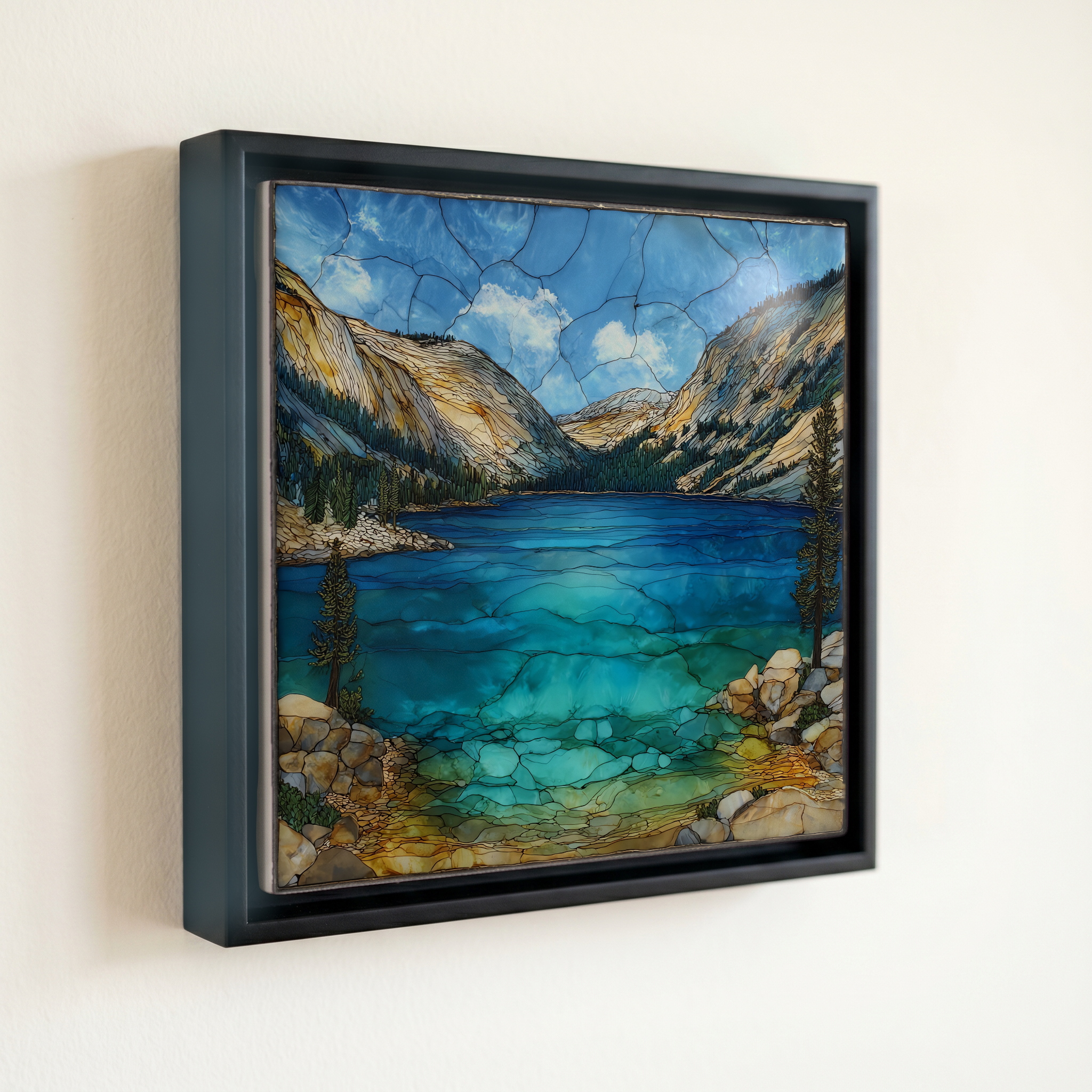
Tenaya Lake, on ceramic.
Each tile is finished by hand in our Knoxville studio. Artwork is slowly infused into the ceramic surface under high heat and pressure, and rests beneath a thin glossy finish. The colour lives in the surface, not on top of it.
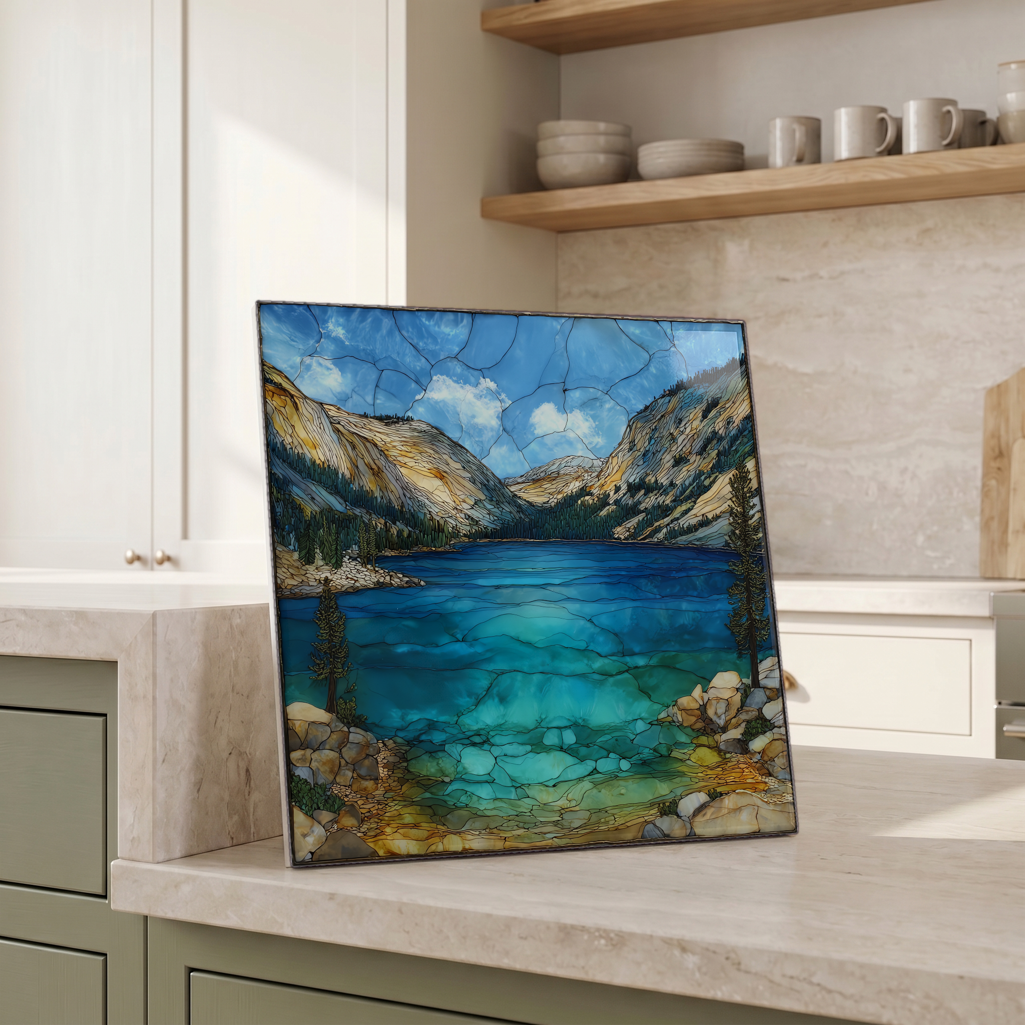
Pick any four 4-inch tiles — National Parks you've been to, a Smokies set, the four seasons of one place. $ for a set of , cork-backed, ready to live on the table.
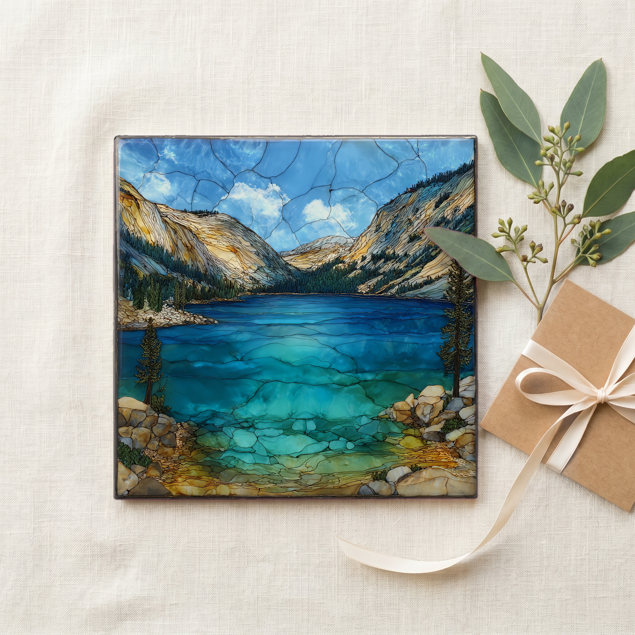
Each tile ships in a kraft box, tied with cream ribbon, with a handwritten note from the studio if you'd like to add one.
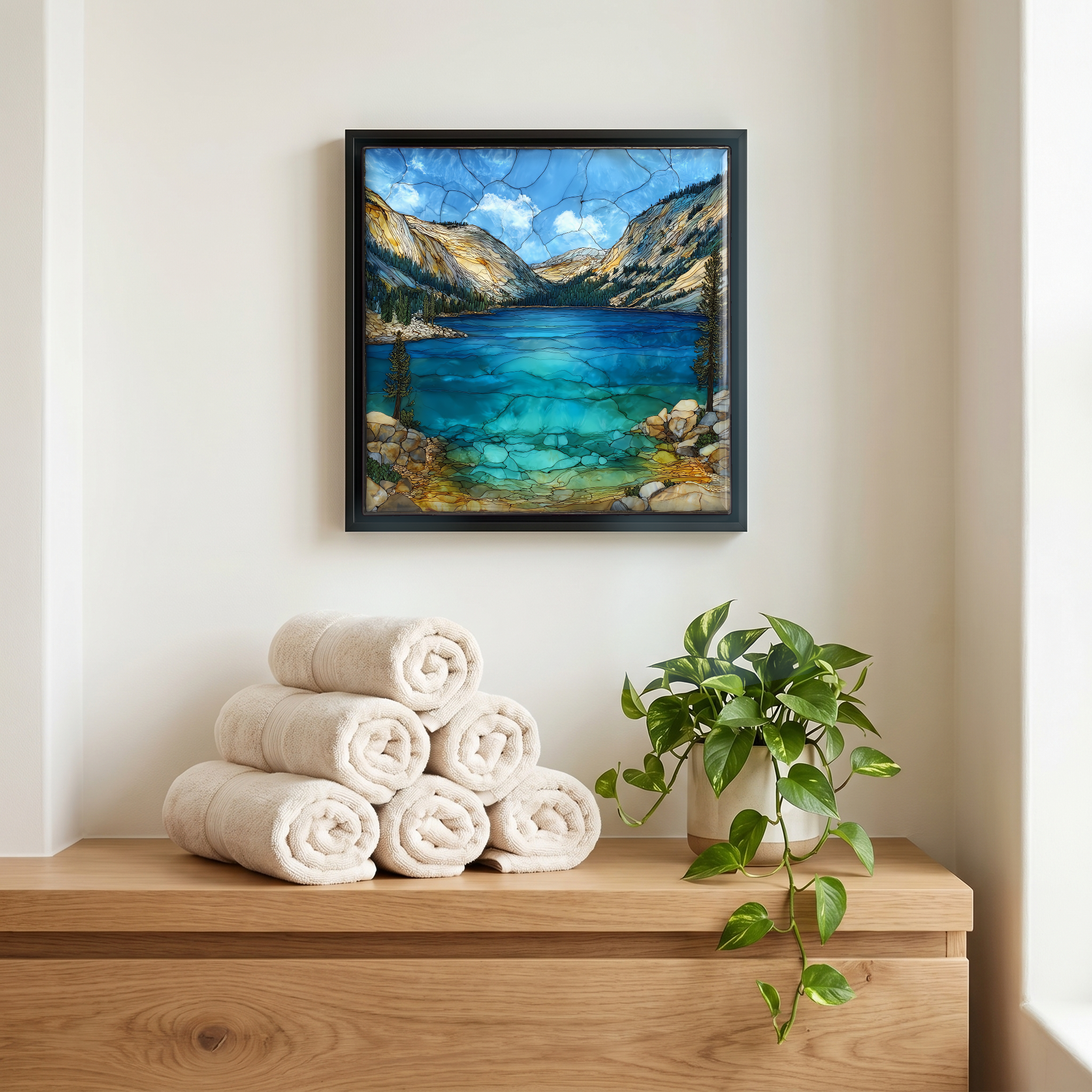
Three or five different vistas, hung together — a chapter of places you've been, or want to go.
The place, in three passes.
Tenaya Lake sits at about 8,150 feet in the high Yosemite backcountry, along Tioga Road in California's Sierra Nevada. The lake fills a basin gouged by the Tenaya Glacier during the last ice age and is bracketed by Polly Dome to the north and Tenaya Peak to the south, both polished by the same glacier. The lake is roughly 150 acres in surface area and drains via Tenaya Creek toward the Yosemite Valley floor more than 4,000 feet below. It was renamed in 1851 after Chief Tenaya of the Ahwahneechee, displacing the original Ahwahneechee name Py-we-ack, sometimes translated as the lake of the shining rocks.
The lake's rim is a working museum of glacial geology. Polly Dome, Pywiack Dome, and Tenaya Peak are all roches moutonnées: granite knobs scraped smooth on their up-glacier side and plucked rough on the lee side as the Tenaya Glacier passed. The granite here is part of the Cathedral Peak Granodiorite, dated by the U.S. Geological Survey to roughly 88 million years ago. The polish in places still holds the sheen the ice left, particularly on the south-facing slabs above the picnic ground at the east end. The Tuolumne Meadows climbers' trail to Polly Dome's south face passes the same polished rock.
Tioga Road, the only paved access to the lake, closes for the winter when the snow comes, typically by late October, and reopens after the National Park Service can plough and repair the highway, often not until late May or June. The exact opening date is published each year by the park and varies with snowpack. In a heavy winter the road has stayed closed into July. Once it opens, the lake warms slowly: surface temperatures rarely exceed the low 60s Fahrenheit even at the height of summer. The east beach is quietest just after the road opens and again in the last week before it closes.