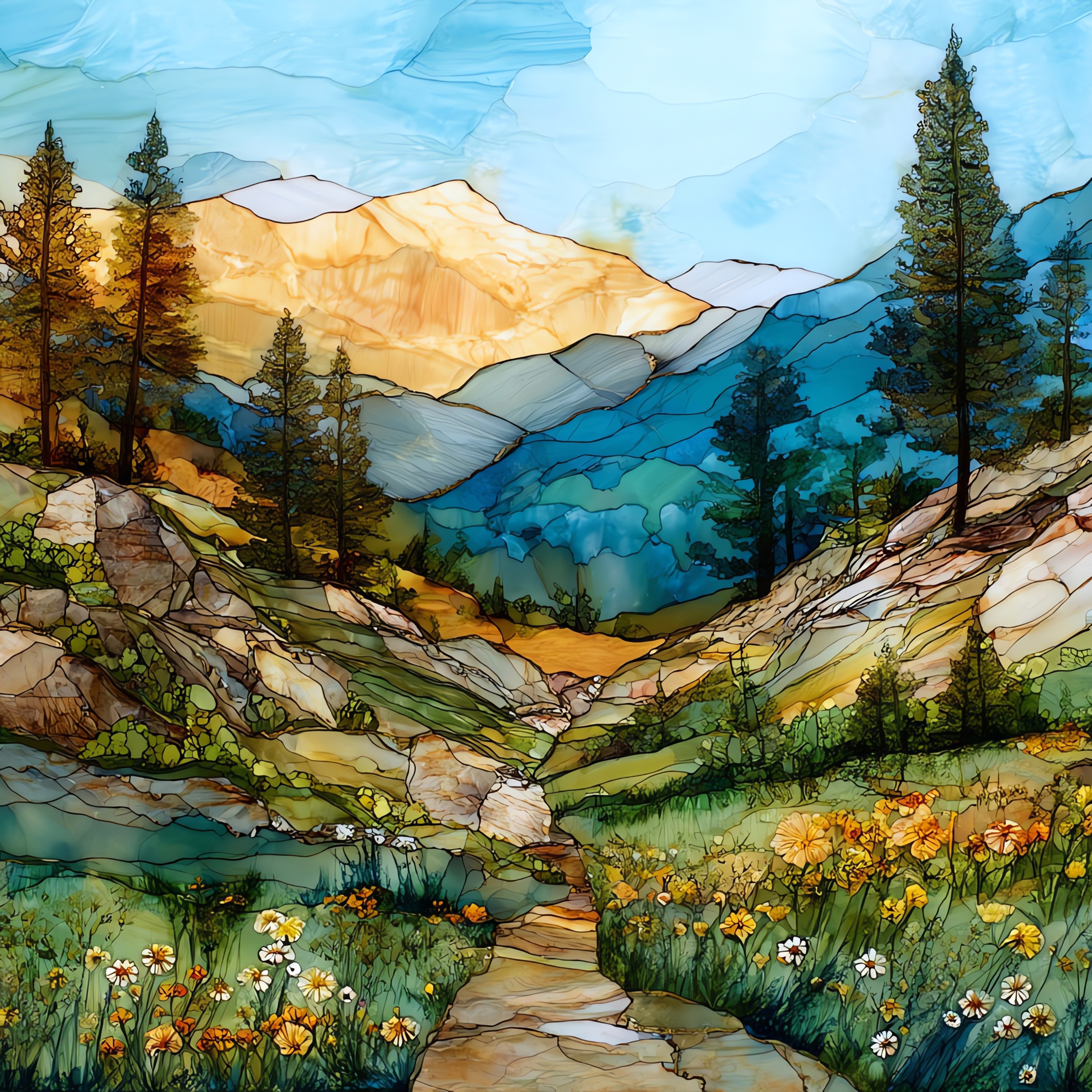
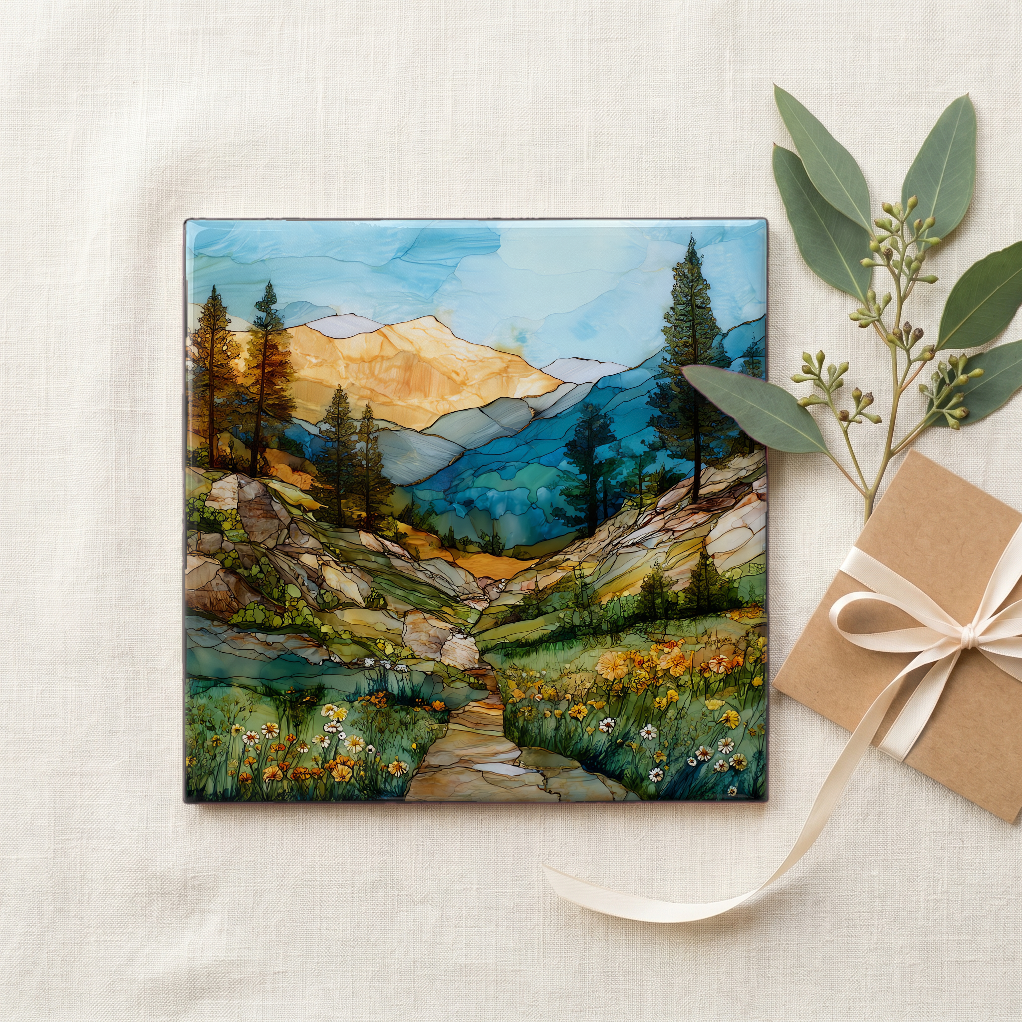
Sonora Pass California
— the road that climbs until the air goes thin.
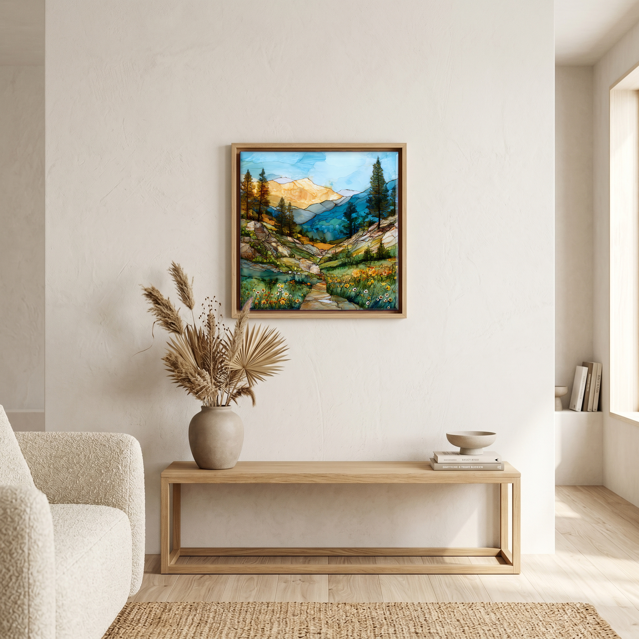
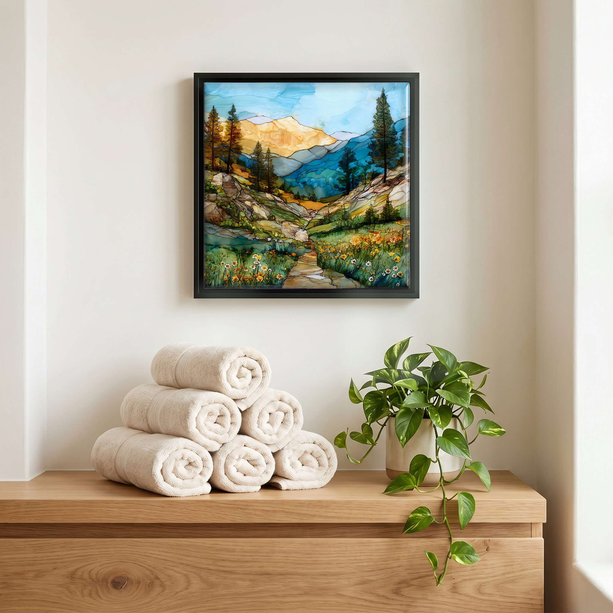
Not only on a wall.
“Sonora Pass crosses the Sierra Nevada on State Route 108, between the Gold Country town of Sonora and Bridgeport on the eastern slope. The road climbs the western canyon of the Stanislaus through fir and red cedar, then breaks out above timberline into granite and lupine meadow. The east side drops fast and steep through a long series of switchbacks below Sonora Peak. Only Tioga Pass climbs higher among the paved Sierra crossings. The Pacific Crest Trail meets the road near the summit, and through-hikers stop for a few hours at the pullout to take pictures of the wind. Caltrans closes the road from the first heavy snow until May.
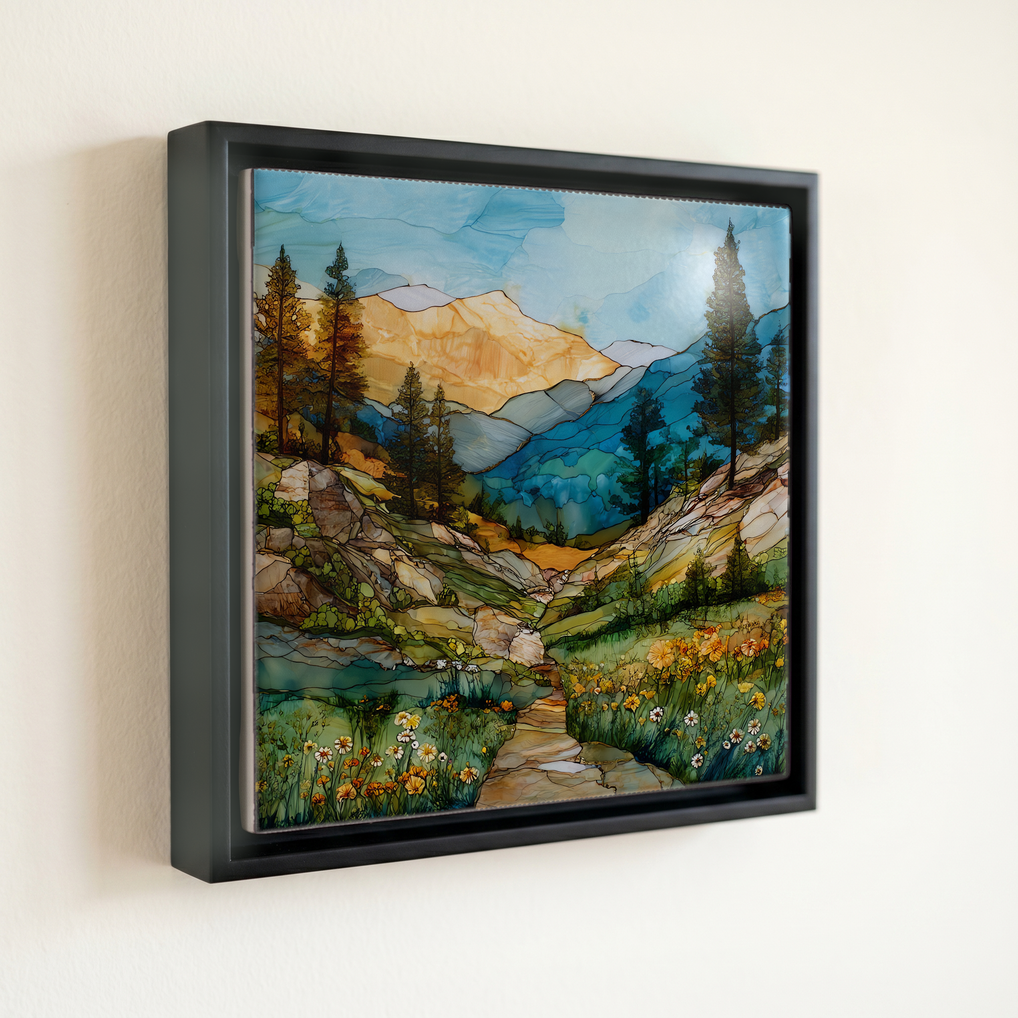
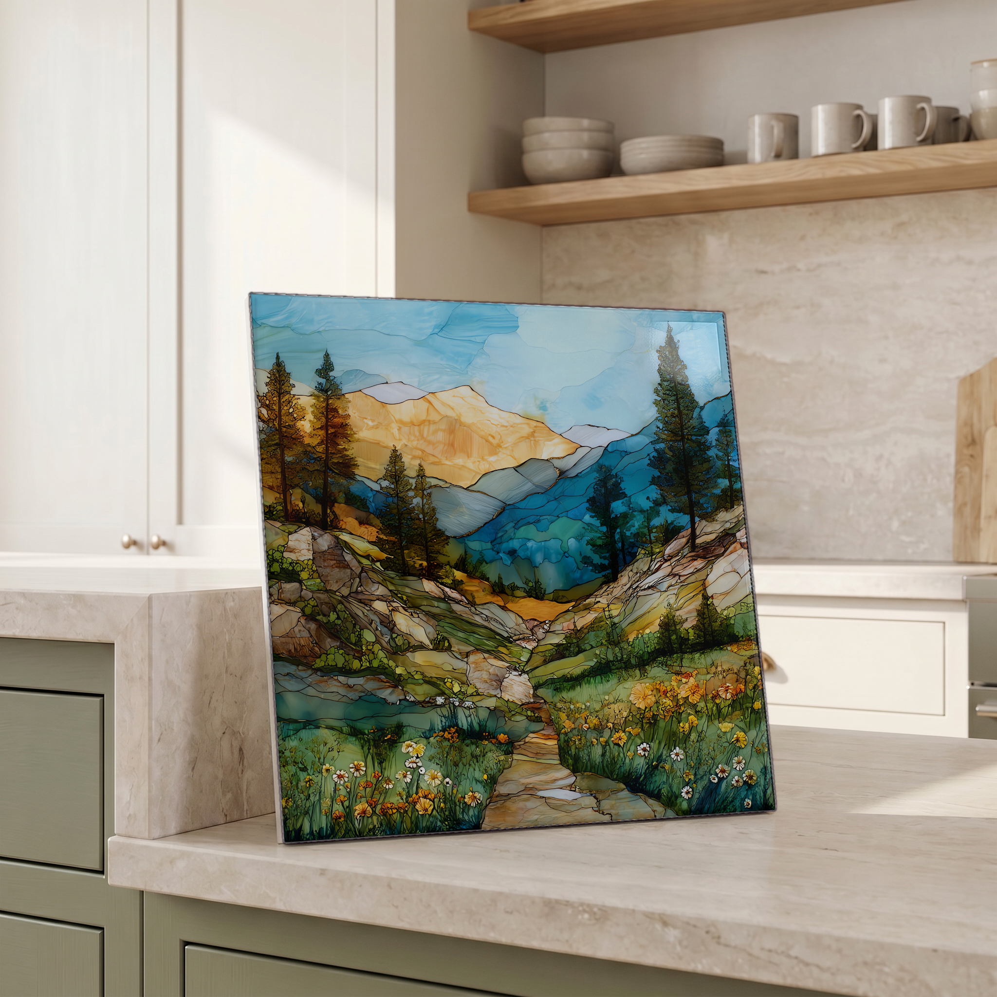
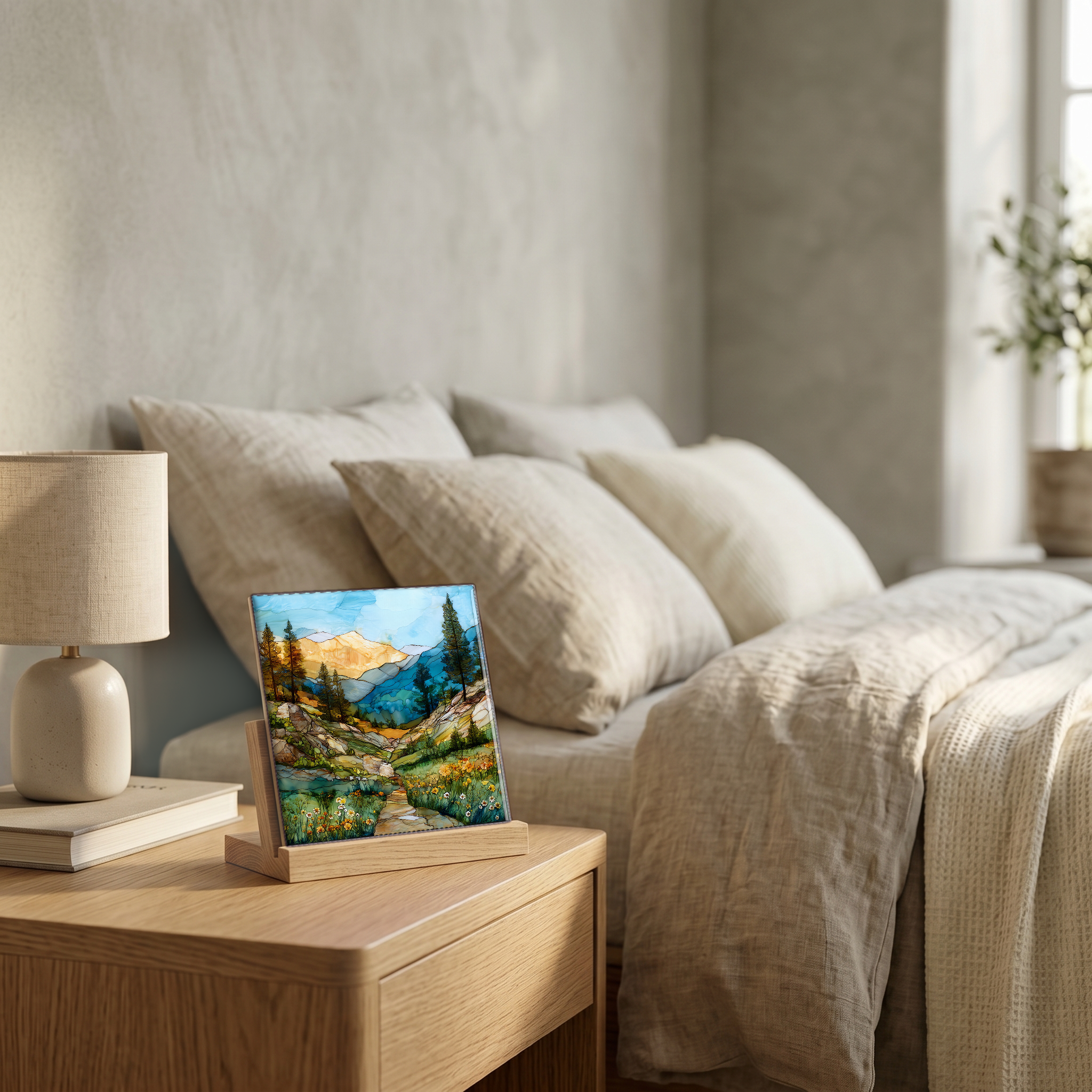
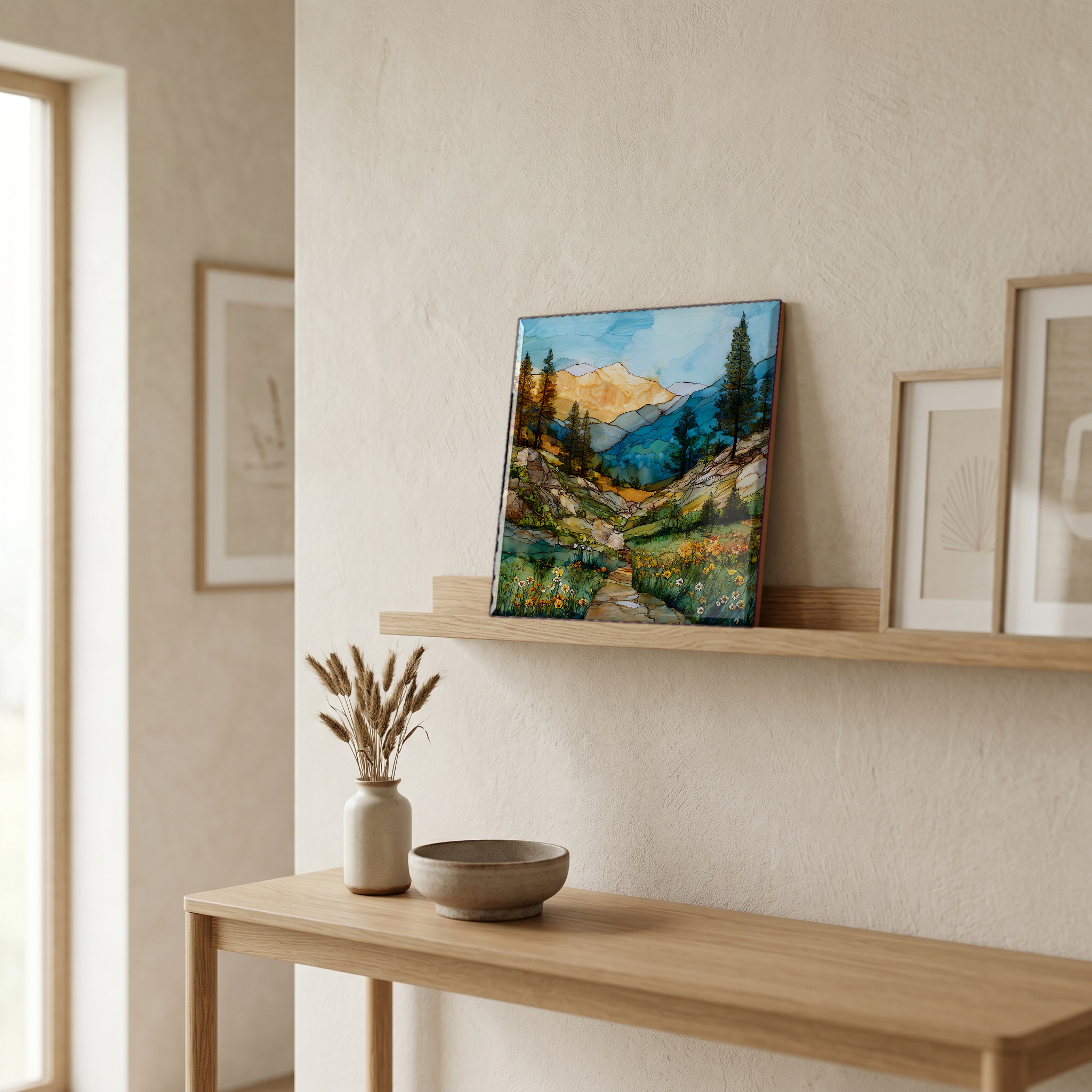
Sonora Pass California, on ceramic.
Each tile is finished by hand in our Knoxville studio. Artwork is slowly infused into the ceramic surface under high heat and pressure, and rests beneath a thin glossy finish. The colour lives in the surface, not on top of it.
Pick any four 4-inch tiles — National Parks you've been to, a Smokies set, the four seasons of one place. $ for a set of , cork-backed, ready to live on the table.
Each tile ships in a kraft box, tied with cream ribbon, with a handwritten note from the studio if you'd like to add one.
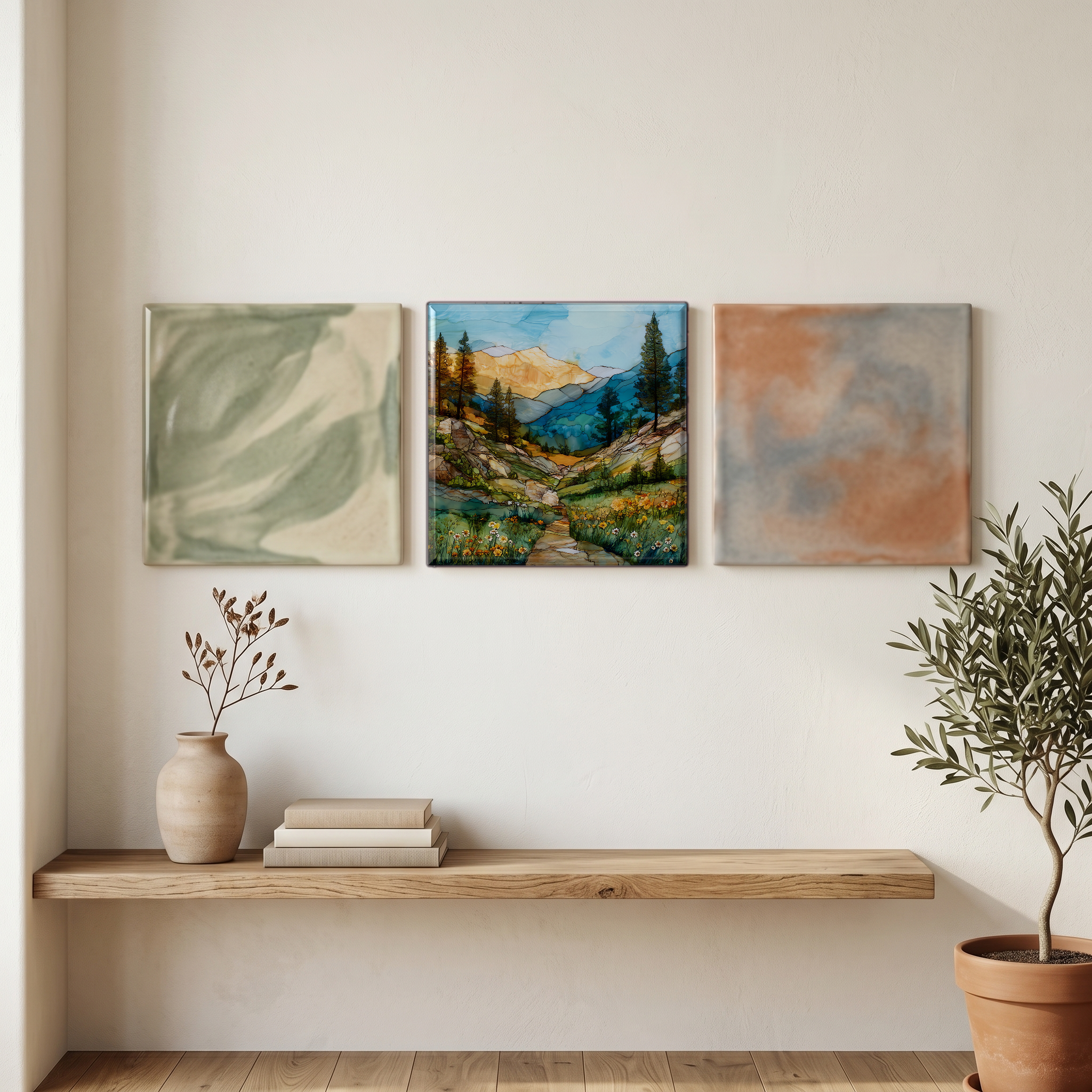
Three or five different vistas, hung together — a chapter of places you've been, or want to go.
The place, in three passes.
Sonora Pass crosses the Sierra Nevada crest at 9,624 feet, the second highest paved pass in California after Tioga Pass at 9,945 feet. The road is State Route 108, the Sonora Pass Highway, which leaves Sonora in Tuolumne County, climbs through Stanislaus National Forest, and drops to U.S. 395 at Pickel Meadow near Bridgeport. The pass takes its name from the town of Sonora, founded by Mexican miners from Sonora, Mexico, during the Gold Rush of 1850. Sonora Peak, the highest summit immediately above the pass at 11,462 feet, sits a short ridge walk to the north and marks the boundary between Stanislaus and Humboldt-Toiyabe National Forests.
At 9,624 feet the air is thin enough to feel on the first steps from the car. The pass sits above the Sierra timberline, in a band of alpine meadow and weathered granite where the trees thin out to a few wind-bent whitebark pines. The treeline here is set by short summers and exposed wind: only about ten weeks separate the last and first snowfalls of an average year. The Pacific Crest Trail crosses the highway just south of the summit and runs north along the granite of Leavitt Peak. Granite Dome and Sonora Peak frame the meadow to either side. The pullout at the summit holds a small interpretive sign and a view that runs east into the West Walker River drainage.
State Route 108 over Sonora Pass closes for the winter, typically from the first heavy snow in November or early December until late May. Caltrans schedules the opening week by week based on snowpack and avalanche risk. In an average year, the eastern grades through Pickel Meadow are clear by Memorial Day; heavy snow years can push the opening into mid-June. Once open, the road carries summer traffic through about mid-October, with autumn aspen at the lower elevations on the west side in late September. The Pacific Crest Trail crossing brings through-hikers between July and September, with a small unofficial pullout for trail-angel resupply just below the summit on the west side.