Point Reyes Headland
— — the windward edge of the continent.
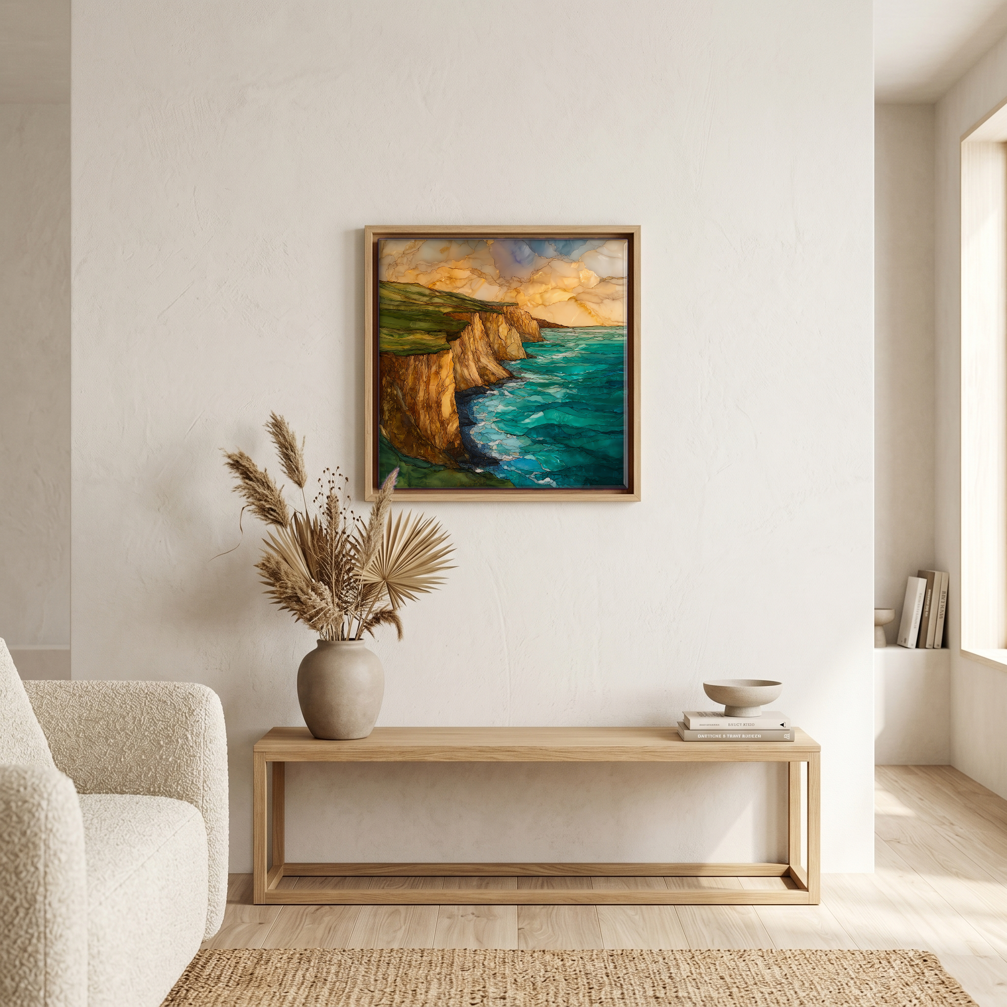
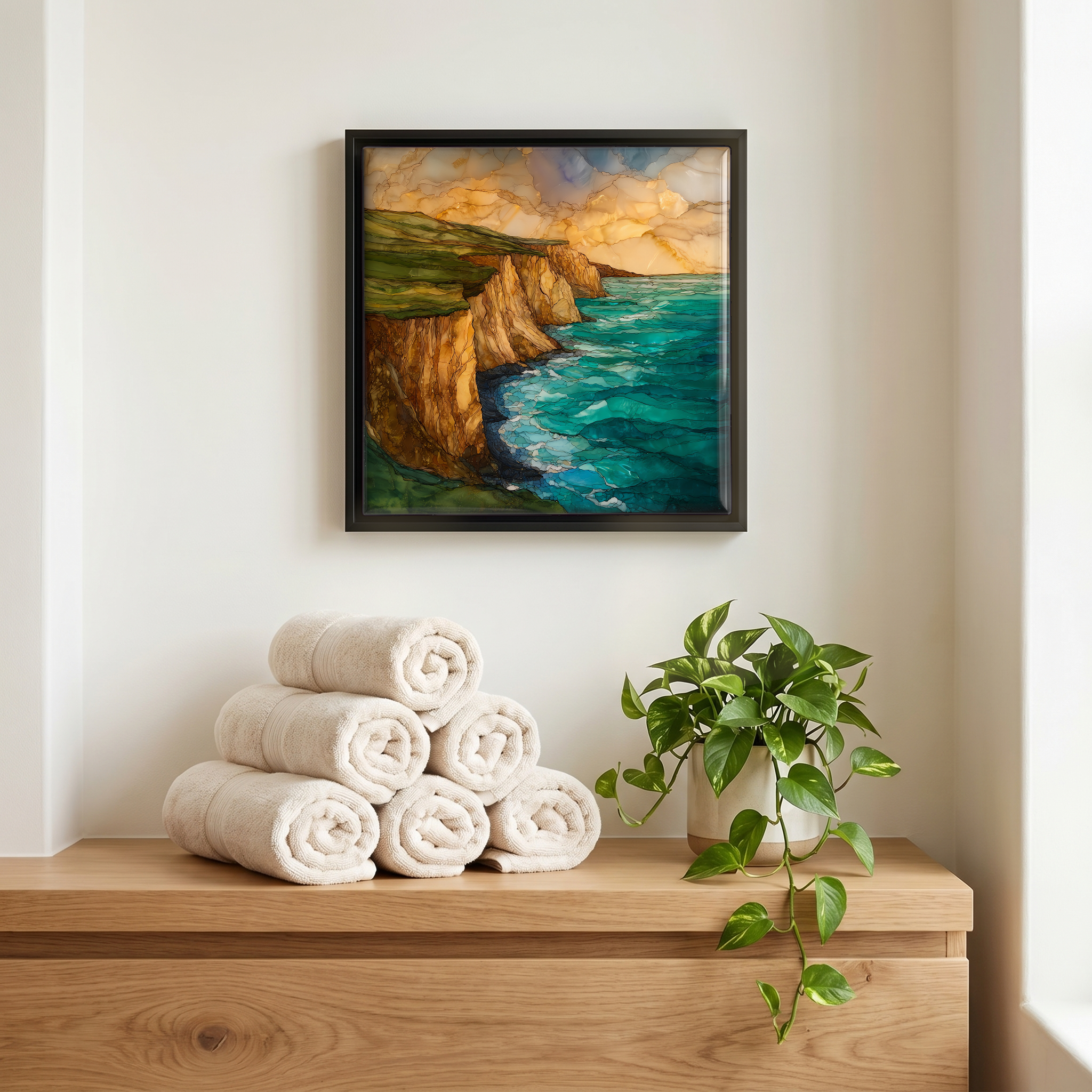
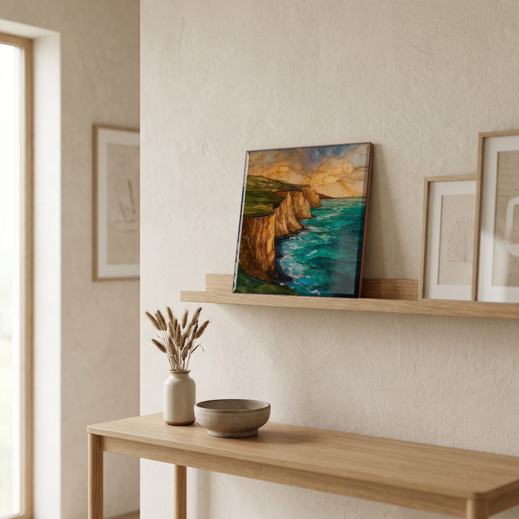
Not only on a wall.

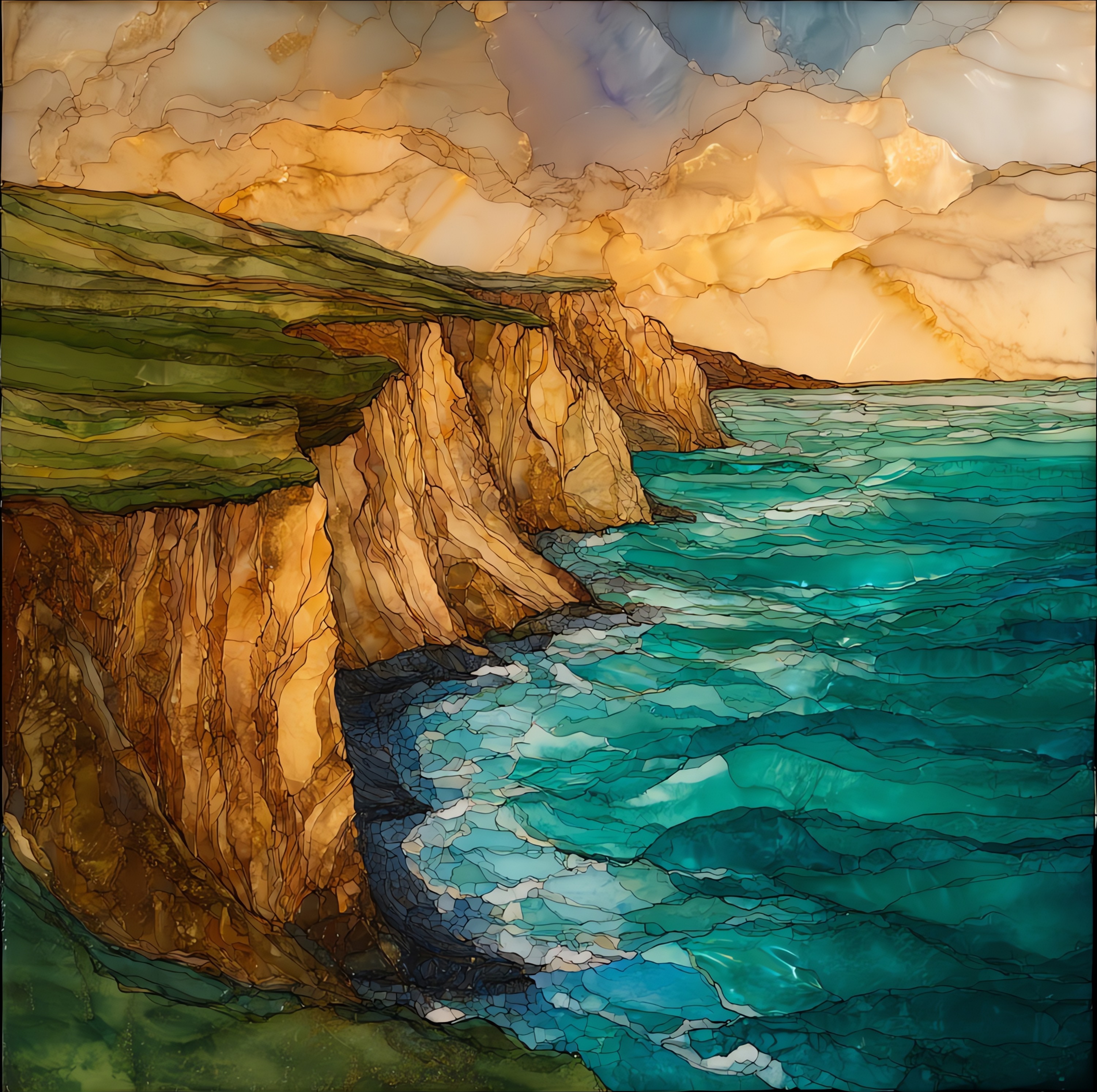
“A wedge of land that reaches twenty miles into the Pacific from the Marin County shore. The peninsula sits on the Pacific Plate, the only patch of California for hundreds of miles that is geologically not part of the continent it touches; the San Andreas Fault runs along its eastern edge, and the 1906 earthquake jumped this ground about sixteen feet north in a single morning. Wind comes off the open ocean almost without pause. The headland is reported as the windiest place on the Pacific Coast and the second-foggiest place in North America. The cliff faces are pale; the grass is short and the elk are unbothered.
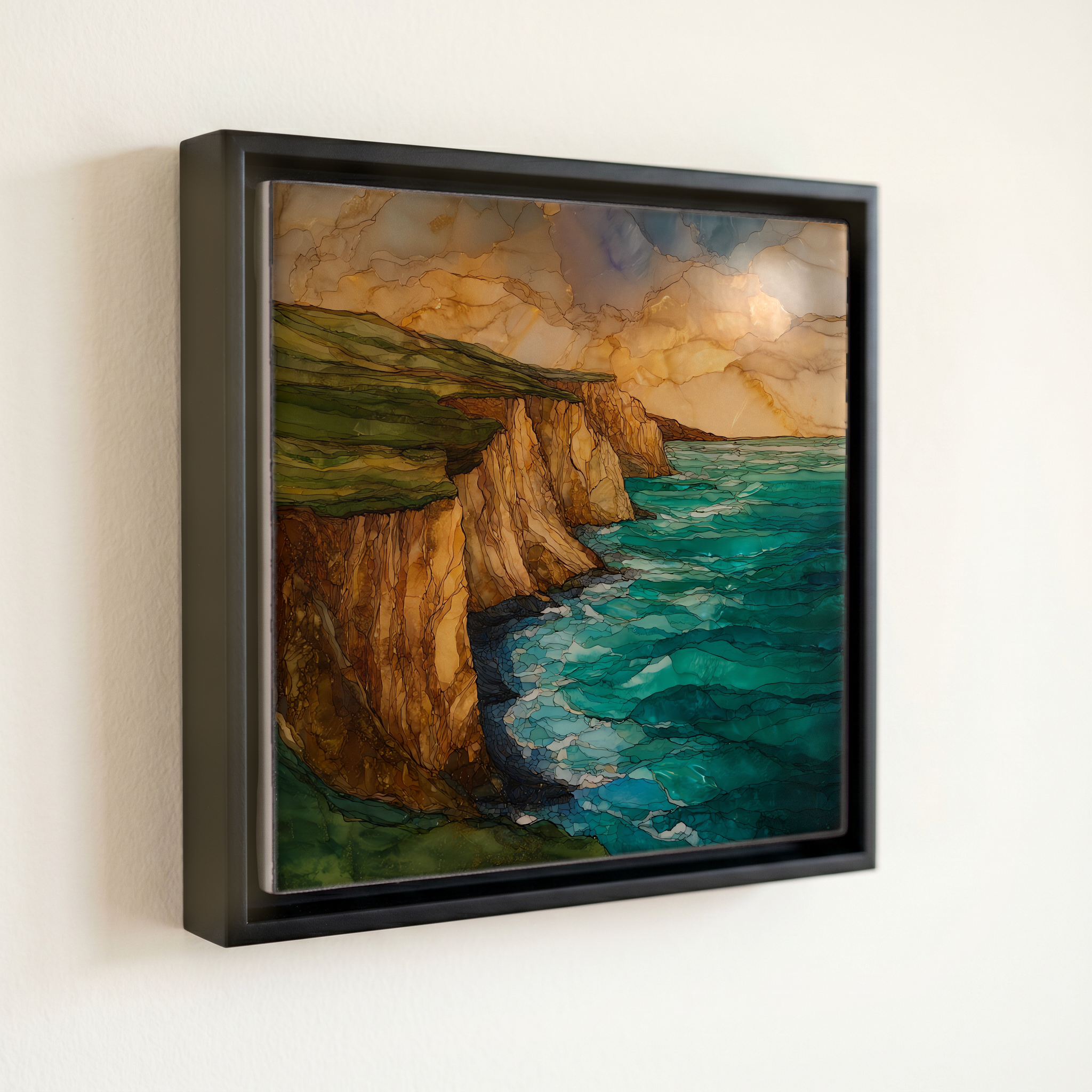
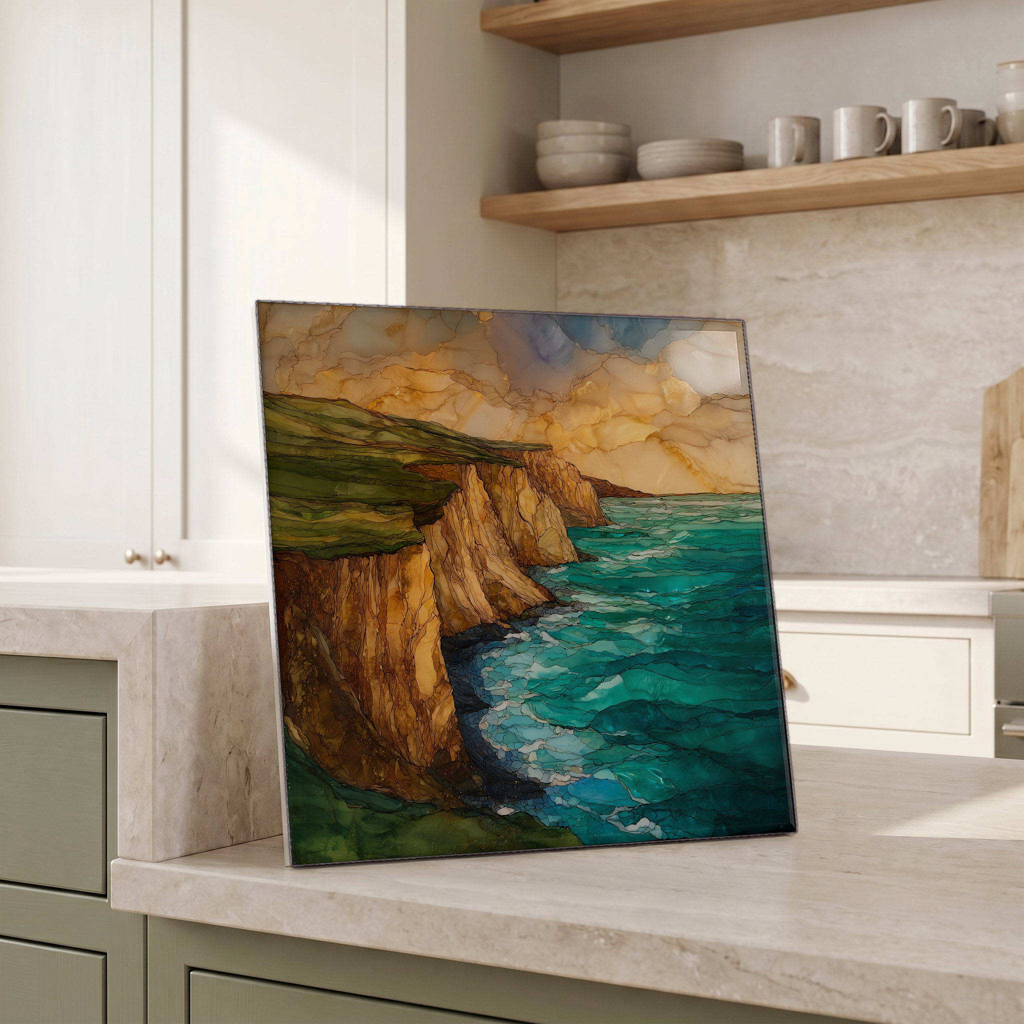
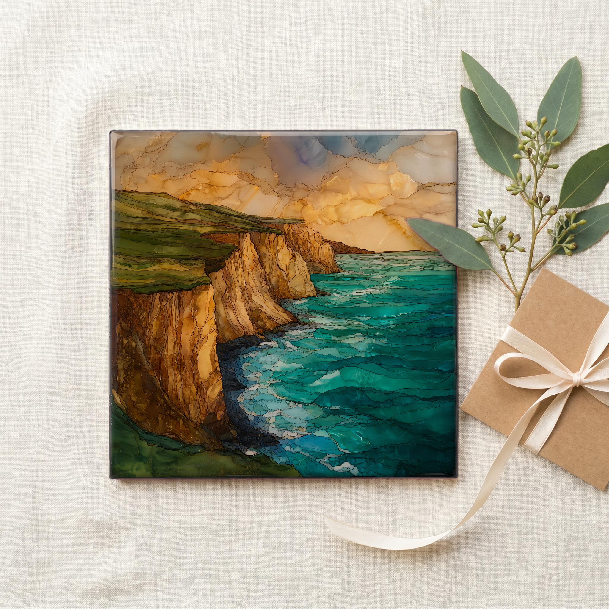
Point Reyes Headland, on ceramic.
Each tile is finished by hand in our Knoxville studio. Artwork is slowly infused into the ceramic surface under high heat and pressure, and rests beneath a thin glossy finish. The colour lives in the surface, not on top of it.
Pick any four 4-inch tiles — National Parks you've been to, a Smokies set, the four seasons of one place. $ for a set of , cork-backed, ready to live on the table.
Each tile ships in a kraft box, tied with cream ribbon, with a handwritten note from the studio if you'd like to add one.
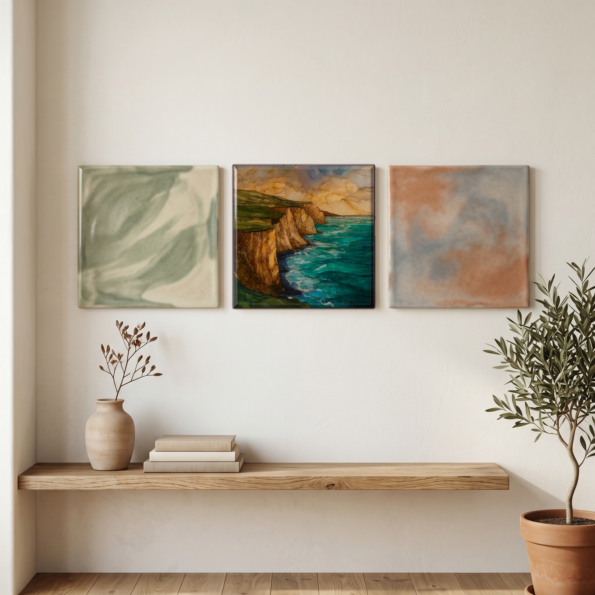
Three or five different vistas, hung together — a chapter of places you've been, or want to go.
The place, in three passes.
Point Reyes is a 71,000-acre peninsula and national seashore on the Pacific coast of Marin County, about 30 miles northwest of San Francisco. The headland forms the western tip of the peninsula, where the land reaches roughly ten miles farther out than the rest of the California coast at this latitude. The peninsula was authorised as Point Reyes National Seashore in 1962 and is administered by the National Park Service. Point Reyes is geologically not attached to the continent in the conventional sense; it rides on the Pacific Plate along the western side of the San Andreas Fault, and its bedrock is Salinian granite.
The headland is reported as the windiest place on the Pacific Coast and the second-foggiest place in North America after Cape Disappointment in Washington. The exposure to the open ocean produces wind-speed averages that bend cypress and sweep the meadow grass low through most of the year, with the strongest winds running from late spring through summer. The 1906 San Francisco earthquake displaced the headland north along the San Andreas Fault by roughly sixteen to twenty-one feet, the largest single offset measured on land from that quake. The Earthquake Trail near Olema still shows the split fence line that recorded the jump.
The headland is reached from Sir Francis Drake Boulevard, the long road west from Olema and Inverness through the dairy ranches that still operate inside the seashore. The road ends in the lighthouse parking lot, with a windbreak of cypress and a steep walk out to the cliffs. Tule elk graze near Tomales Point on the peninsula's north arm, in the only tule elk preserve in the National Park system. The seashore is open daily; closures during high winds are posted at the gate. The drive from the visitor centre at Bear Valley out to the headland takes about forty-five minutes.