Pinnacles Rock Spires
— — the volcano the fault carried north.
Not only on a wall.

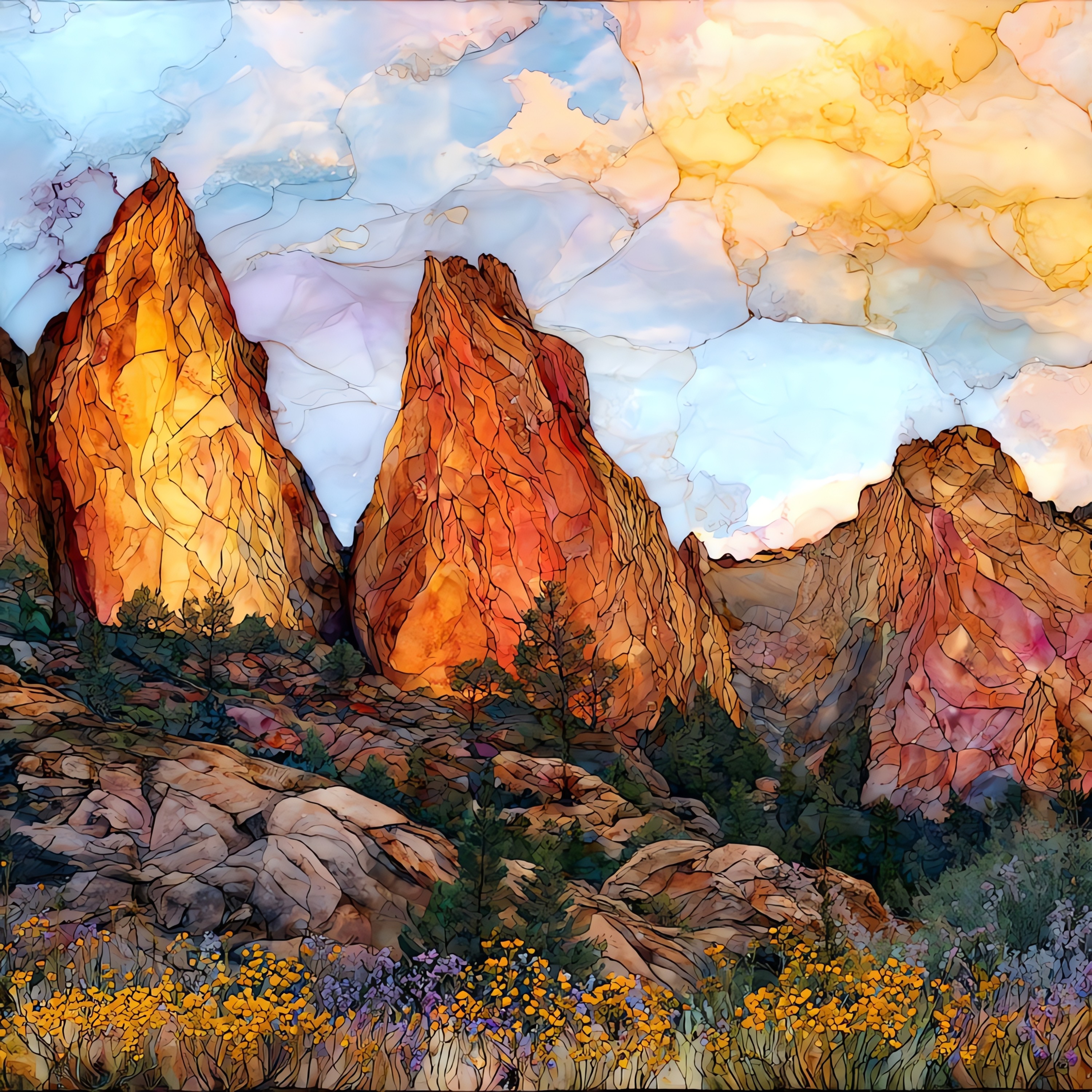
“The rock comes from a volcano that erupted about 23 million years ago, roughly 195 miles south of where it stands now. The San Andreas Fault has carried the western half slowly north along the Pacific Plate; the matching half, the Neenach Volcanic Formation, stayed behind near present-day Lancaster. Erosion has done the rest, sculpting rhyolite and breccia into spires, fluted columns, and the long crest of the High Peaks. Talus boulders the size of houses have rolled down the canyons and lodged against one another, leaving cool dark caves where Townsend's big-eared bats raise their pups each spring. The east and west entrances of the park do not connect by road.
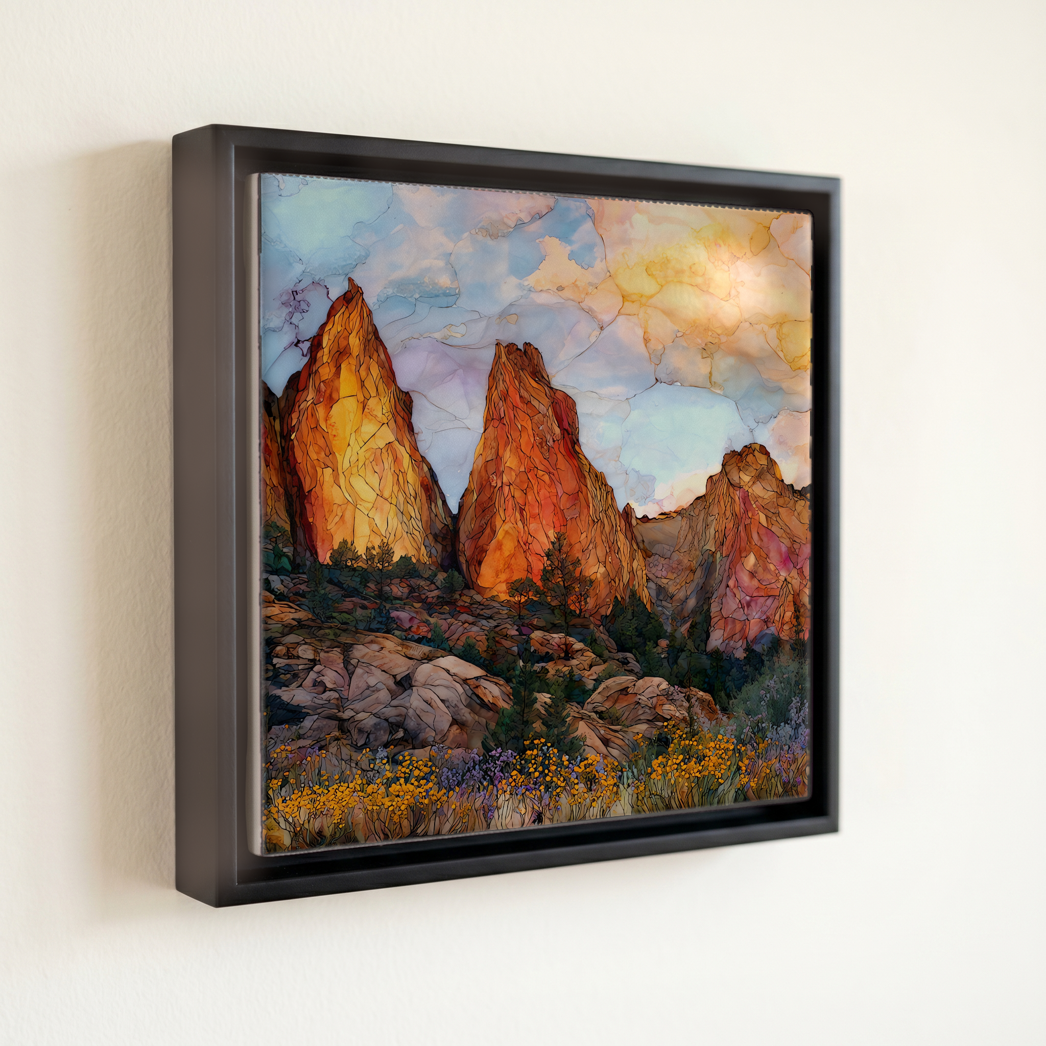
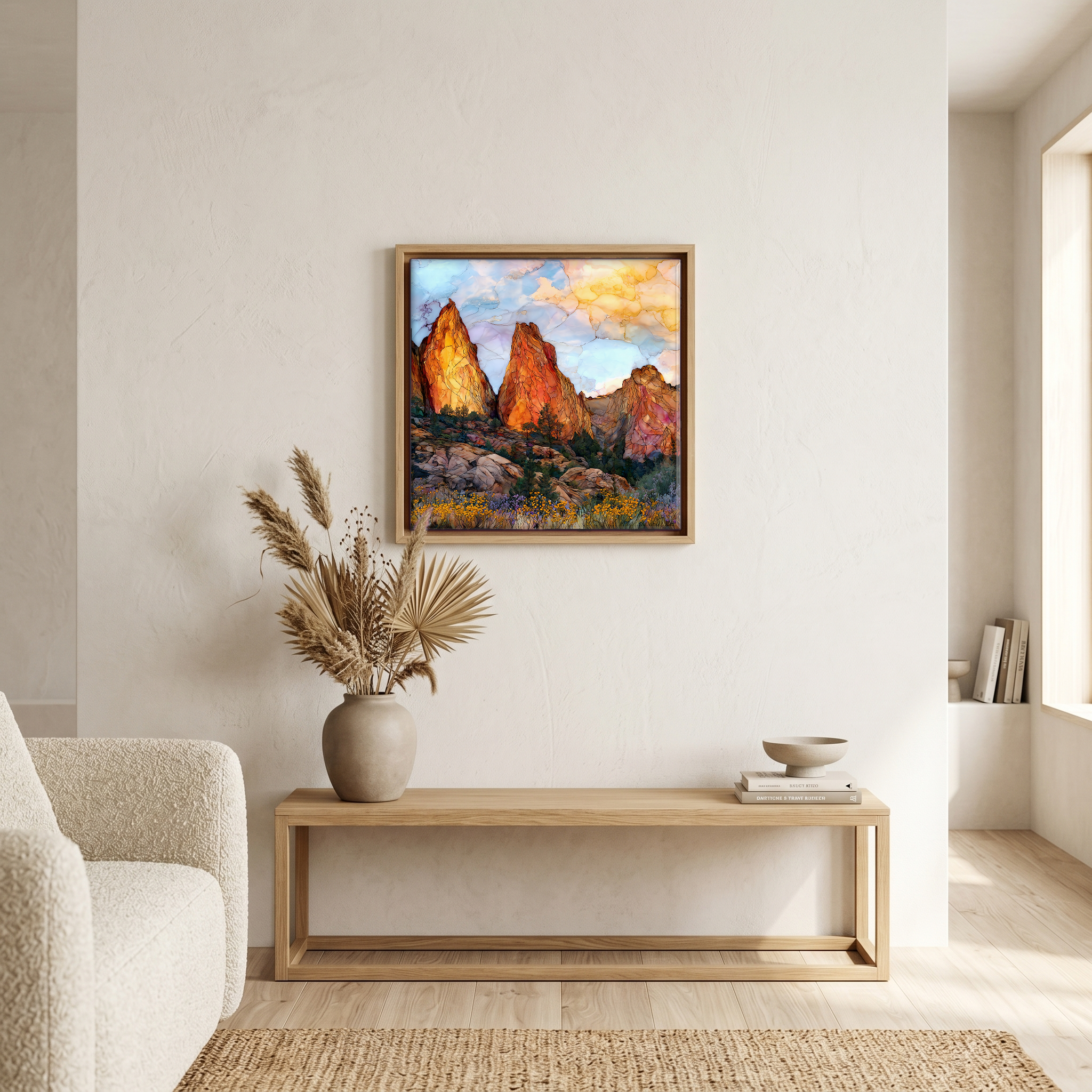
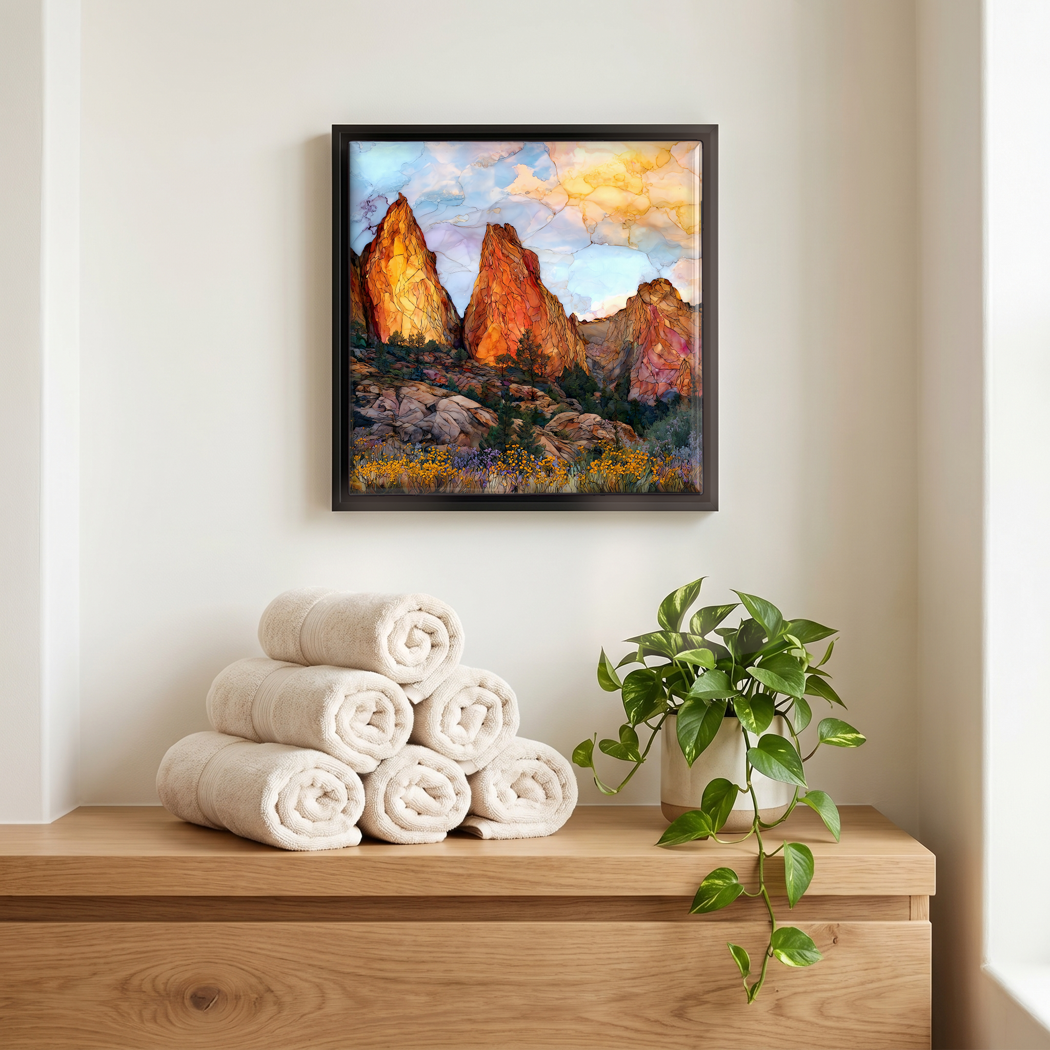
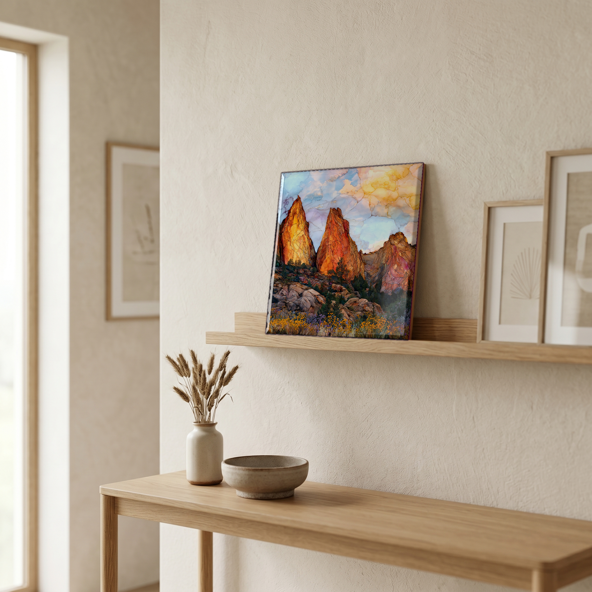
Pinnacles Rock Spires, on ceramic.
Each tile is finished by hand in our Knoxville studio. Artwork is slowly infused into the ceramic surface under high heat and pressure, and rests beneath a thin glossy finish. The colour lives in the surface, not on top of it.
Pick any four 4-inch tiles — National Parks you've been to, a Smokies set, the four seasons of one place. $ for a set of , cork-backed, ready to live on the table.
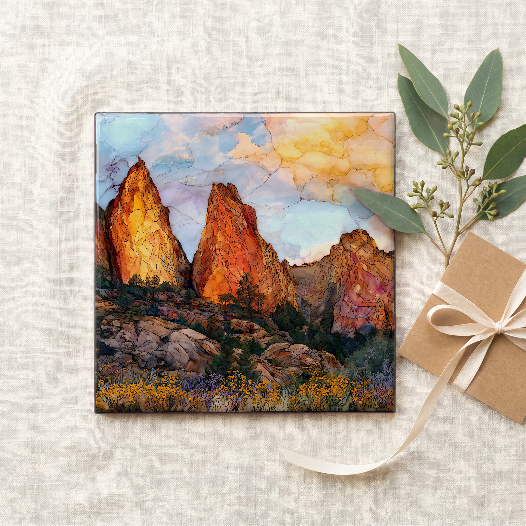
Each tile ships in a kraft box, tied with cream ribbon, with a handwritten note from the studio if you'd like to add one.
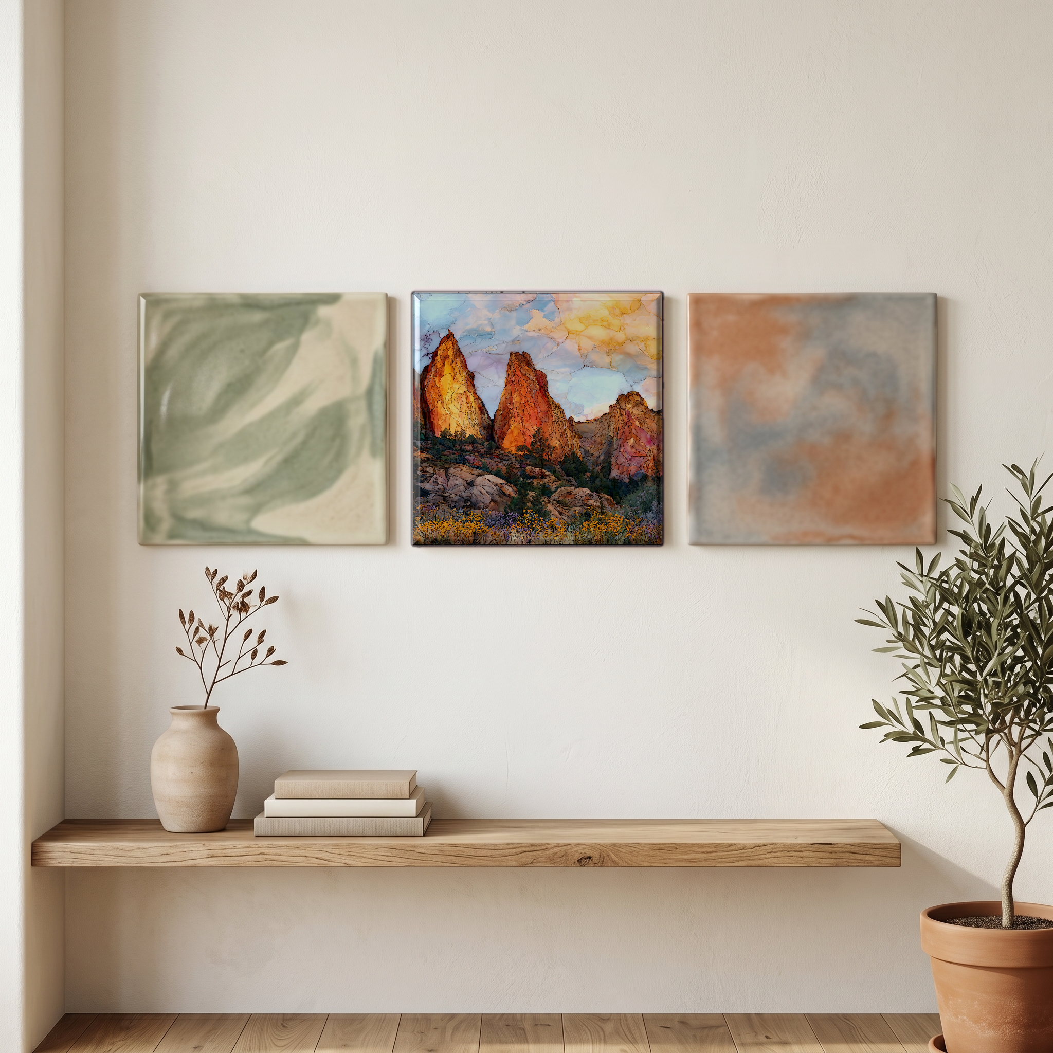
Three or five different vistas, hung together — a chapter of places you've been, or want to go.
The place, in three passes.
Pinnacles National Park covers roughly 26,600 acres in the southern Gabilan Range of central California, with two entrances that do not connect by road. The east entrance is on CA-25 in San Benito County, about thirty miles south of Hollister and home to the visitor center, the campground, and the Bear Gulch reservoir. The west entrance is on CA-146 in Monterey County, east of Soledad. The High Peaks Trail loops between the two sides on foot, climbing roughly 1,300 feet, with a short section of footholds and railings cut into the rock. Theodore Roosevelt established the original monument in 1908, and President Obama redesignated Pinnacles as a National Park in January 2013.
The spires are the eroded remains of a volcanic field that erupted between 22 and 24 million years ago, about 195 miles south of its present location. The San Andreas Fault, which here runs just west of the park, has carried the western half of the volcano steadily north on the Pacific Plate. The matching half, the Neenach Volcanic Formation near Lancaster in northern Los Angeles County, has stayed behind on the North American Plate. The rock is mostly rhyolite and rhyolitic breccia, with a layer of volcanic breccia at the surface that erodes into the park's hallmark shapes: knobs, fluted columns, and talus boulders piled deep enough to form caves. The High Peaks and Machete Ridge are the most prominent ridgelines.
The east and west entrances are about ninety minutes apart by road and not connected through the park. The Bear Gulch and Balconies talus caves are open seasonally and close when Townsend's big-eared bats are raising young in the spring, with reopening dates typically in mid-July. The High Peaks Trail loops between the two sides on foot, climbing roughly 1,300 feet and including the rail-and-foothold section cut into the rhyolite. The east-side Pinnacles Campground has water, showers, and a small store. The west side has no campground and very limited water at the Chaparral trailhead. Rock climbers come for the bolted routes on Machete Ridge and the Discovery Wall.