Pfeiffer Beach Keyhole Arch
— — the keyhole the winter sun finds.
Not only on a wall.


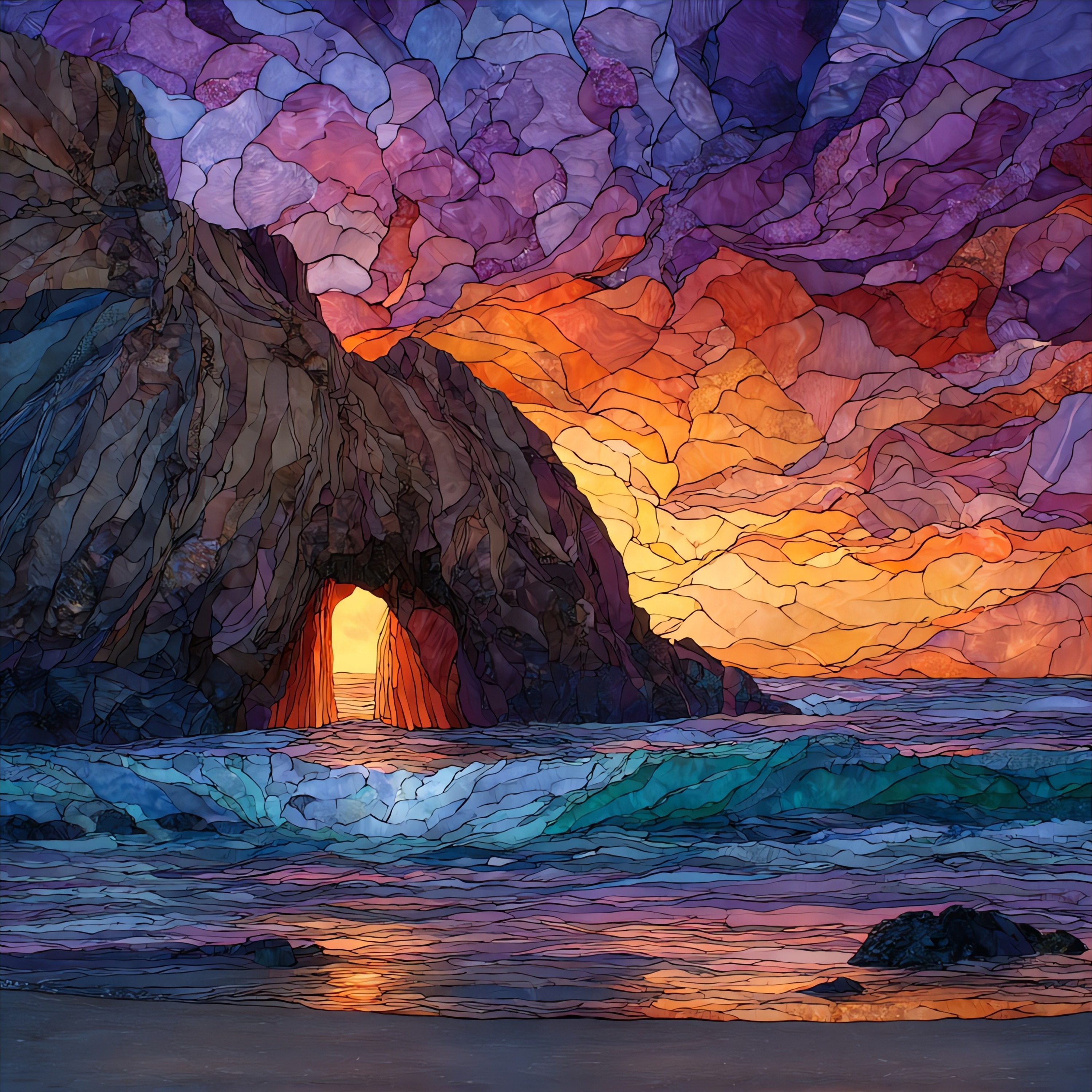
“A pocket cove on the Big Sur coast, reached by two miles of narrow road down Sycamore Canyon off Highway 1. The sand on the beach runs purple in places where manganese garnet washes down from the bluffs above and stains the lighter quartz. At the south end, a sea arch called the Keyhole frames the open Pacific in a free-standing stack of sandstone. For roughly three weeks in late December and early January, when the setting sun aligns with the opening from the west, light passes through the arch and lands on the water inside as a single beam. The wave action through the arch is the steady sound of the place.
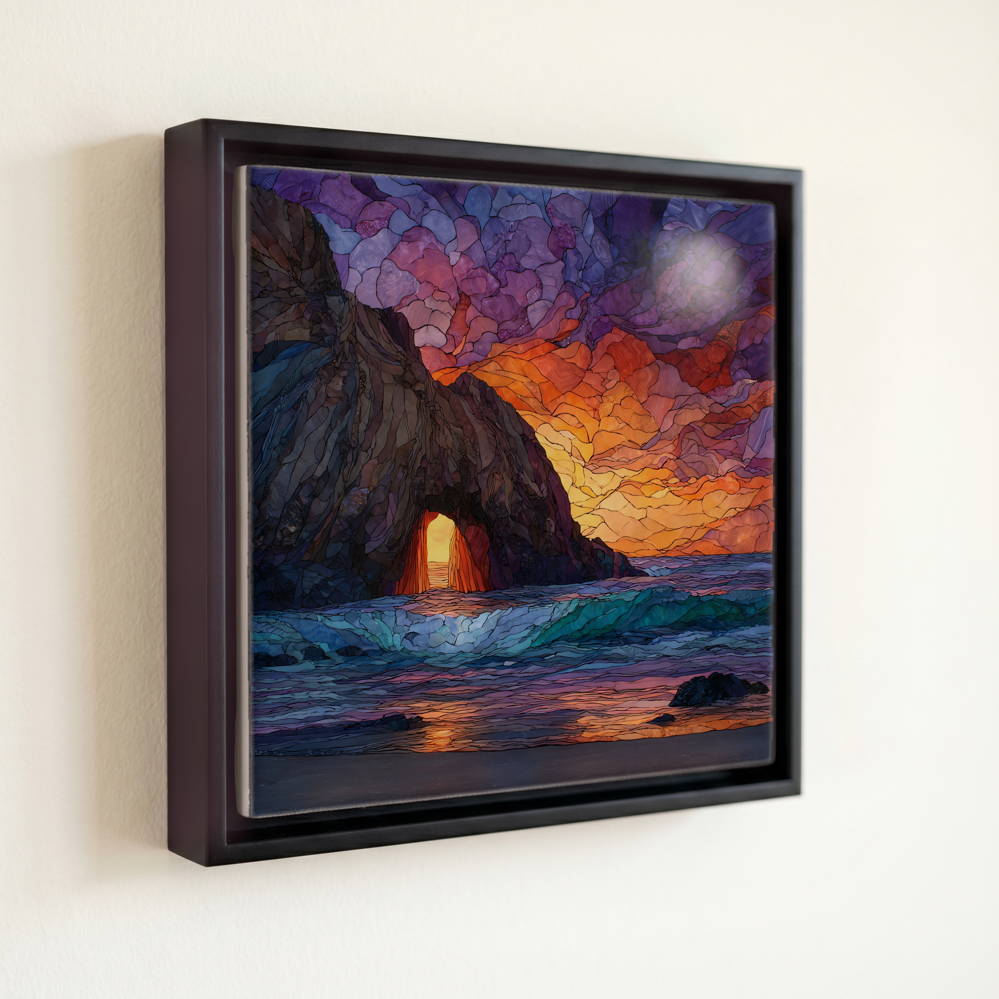
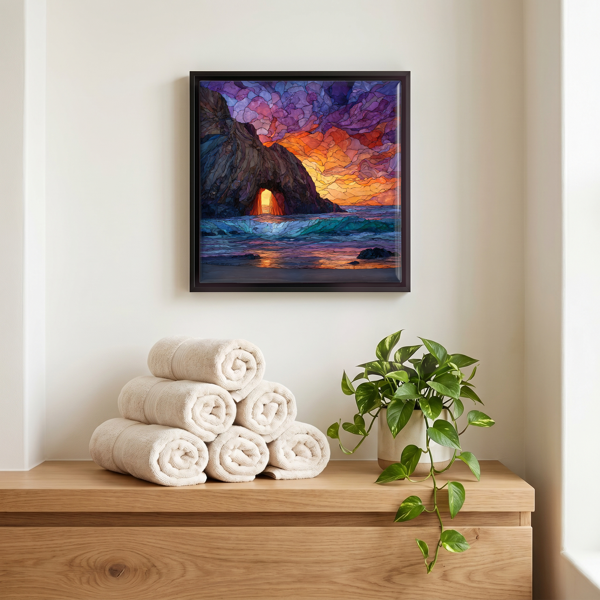
Pfeiffer Beach Keyhole Arch, on ceramic.
Each tile is finished by hand in our Knoxville studio. Artwork is slowly infused into the ceramic surface under high heat and pressure, and rests beneath a thin glossy finish. The colour lives in the surface, not on top of it.
Pick any four 4-inch tiles — National Parks you've been to, a Smokies set, the four seasons of one place. $ for a set of , cork-backed, ready to live on the table.

Each tile ships in a kraft box, tied with cream ribbon, with a handwritten note from the studio if you'd like to add one.

Three or five different vistas, hung together — a chapter of places you've been, or want to go.
The place, in three passes.
Pfeiffer Beach lies in the Los Padres National Forest on the Big Sur coast of Monterey County, California, about 27 miles south of Carmel along Highway 1. The road in is Sycamore Canyon Road, an unsigned two-mile single-lane track that drops west off Highway 1; it is closed to RVs and trailers and reaches a small parking lot above the beach. The site is operated by the U.S. Forest Service and charges a per-vehicle day-use fee. It is often confused with the larger Pfeiffer Big Sur State Park inland, named for the same pioneer family but managed separately. The closest landmark on Highway 1 is the Big Sur Ranger Station, about a quarter-mile north of the turnoff.
The Keyhole Arch is a wave-cut sea arch in a free-standing stack of sandstone at the south end of Pfeiffer Beach. For roughly three weeks in late December and early January, the setting sun aligns with the opening from the west and projects a single beam through onto the water inside, an effect that drew landscape photographers to the cove through the 2000s and 2010s. The alignment depends on the sun's declination falling between about 22° and 23° south of the equator, so the window is narrow and tied to the southern solstice. The rest of the year the arch simply frames open ocean.
The purple sand at Pfeiffer Beach comes from manganese garnet, mostly almandine and spessartine, eroding from the schist hillsides above and washing down through Sycamore Canyon to the beach. The colour is most visible on stretches where the lighter quartz has been carried off by wave action, exposing the heavier garnet grains in concentrated patches. Big Sur itself is a stretch of about 90 miles of California coastline between Carmel and San Simeon, where the Santa Lucia Range drops directly into the Pacific along the boundary marked by the San Andreas fault system. Highway 1 along this coast was completed in 1937.