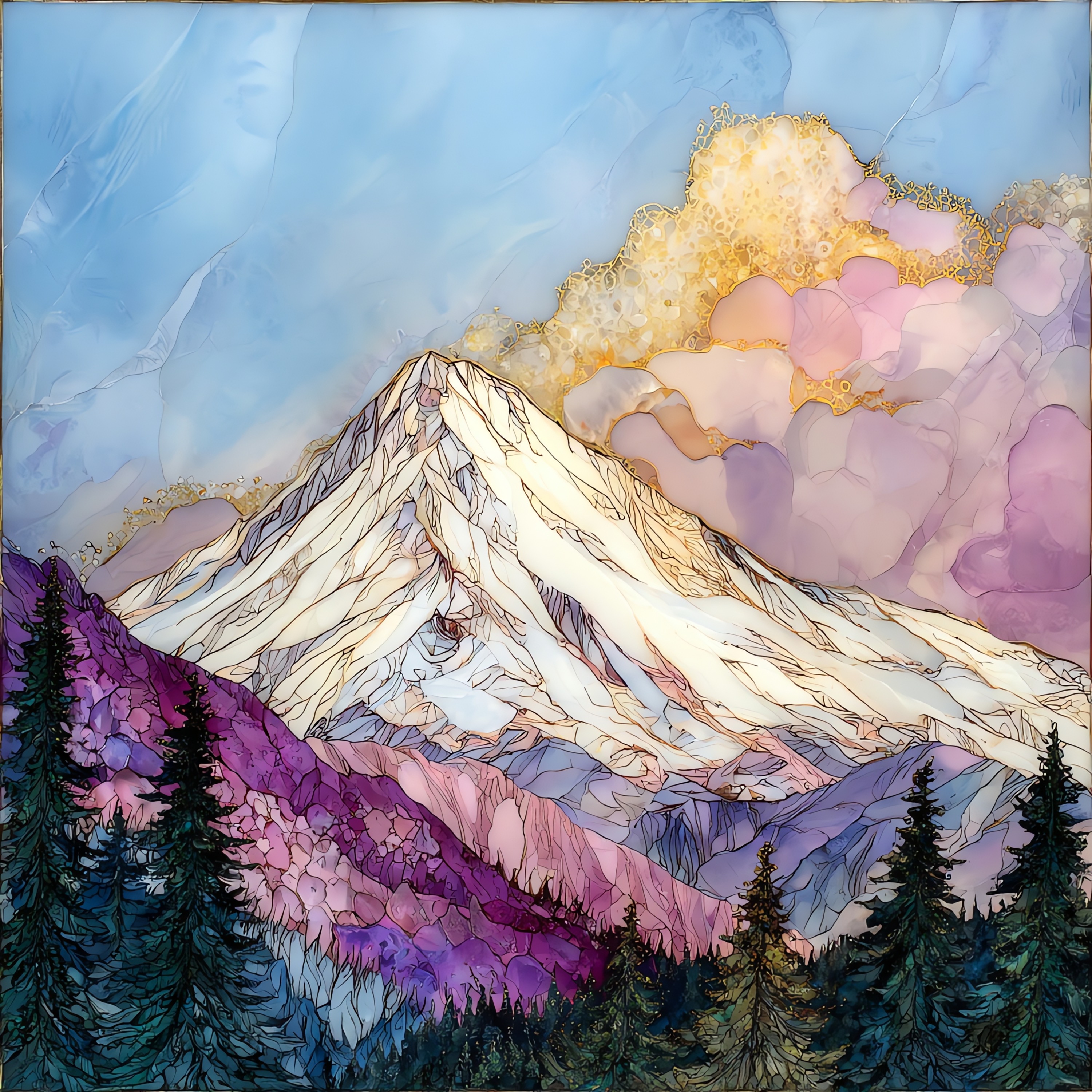
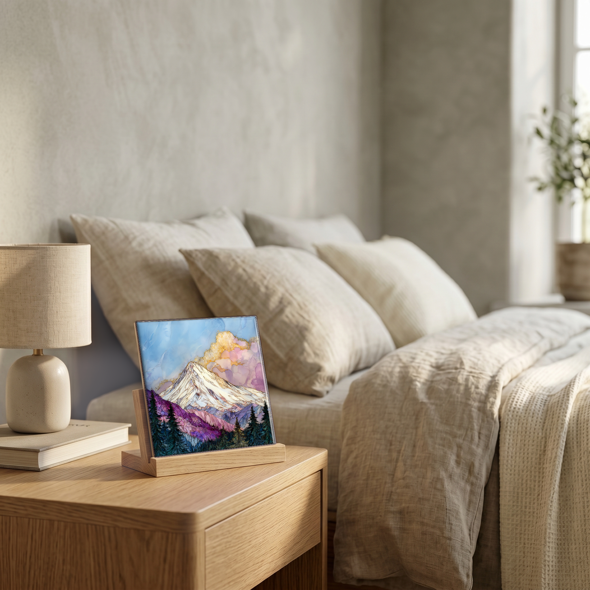
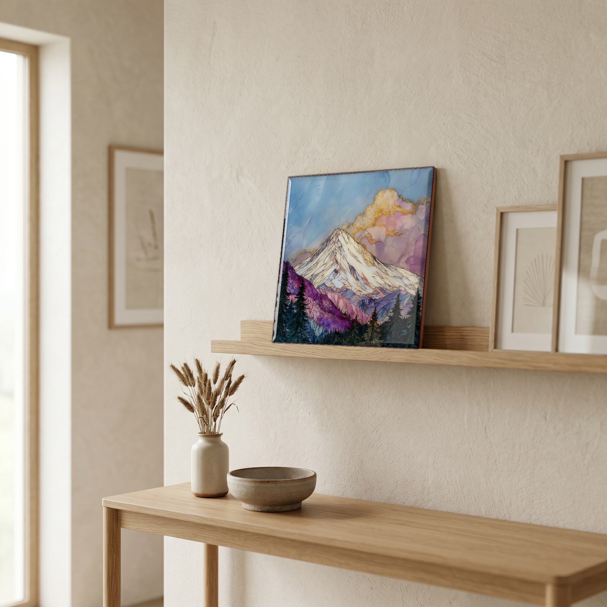
Mount Shasta
— — a mountain you watch arrive for an hour.
Not only on a wall.
“A solitary stratovolcano in far northern California, cone and glacier standing apart from any range. You see it from Redding before you see anything else. The white shape above the valley, lenticular clouds parked on top like a saucer. The Sacramento River begins at a spring at the foot of the mountain. The town below shares its name. People come for the trails, for the view from Bunny Flat, for the long arrival along I-5 with the mountain in the windshield the whole way.
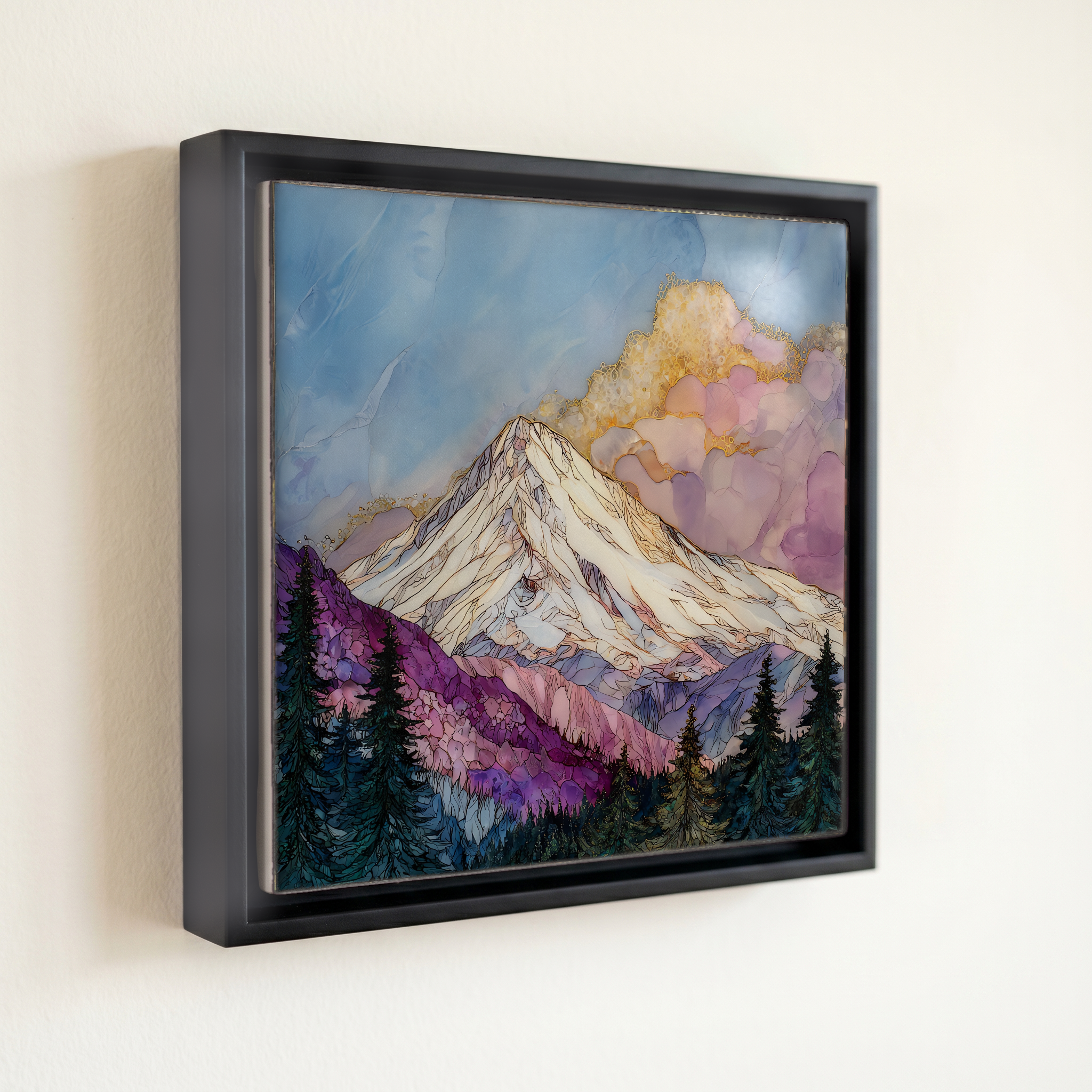
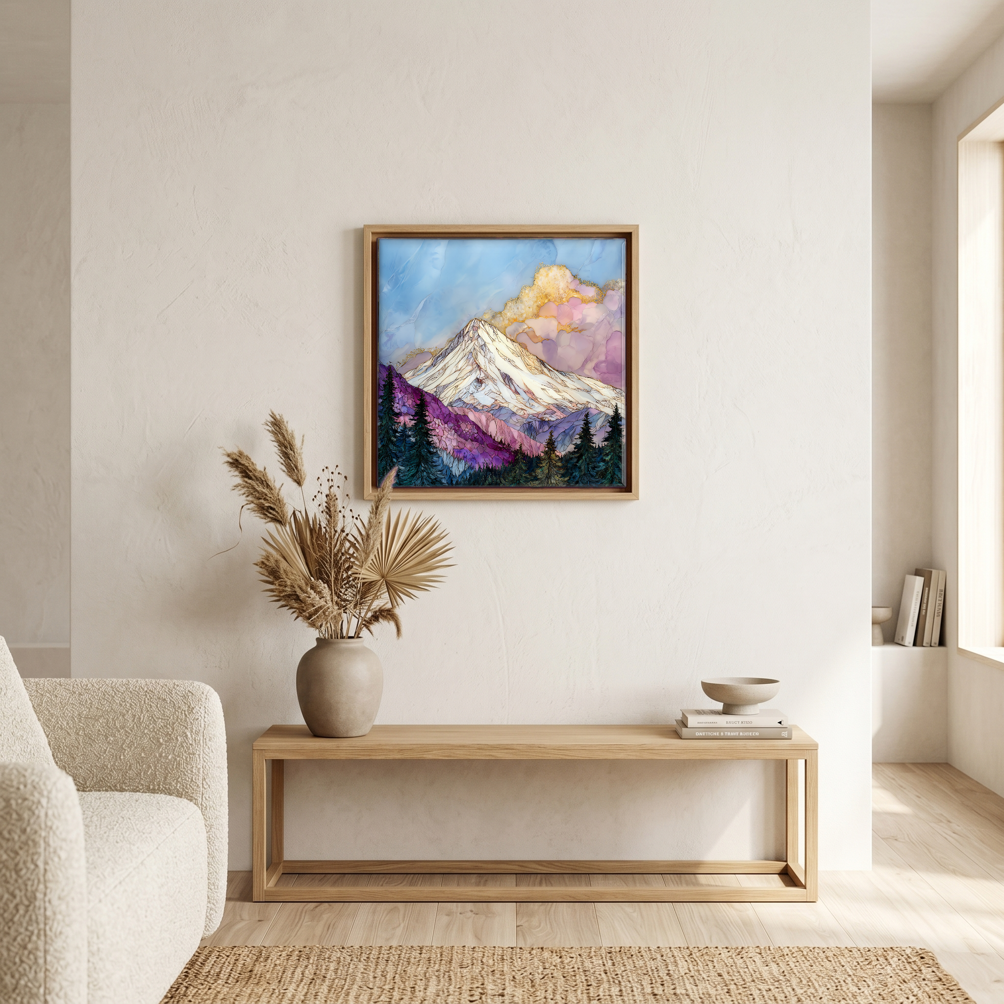
Mount Shasta, on ceramic.
Each tile is finished by hand in our Knoxville studio. Artwork is slowly infused into the ceramic surface under high heat and pressure, and rests beneath a thin glossy finish. The colour lives in the surface, not on top of it.
Pick any four 4-inch tiles — National Parks you've been to, a Smokies set, the four seasons of one place. $ for a set of , cork-backed, ready to live on the table.

Each tile ships in a kraft box, tied with cream ribbon, with a handwritten note from the studio if you'd like to add one.
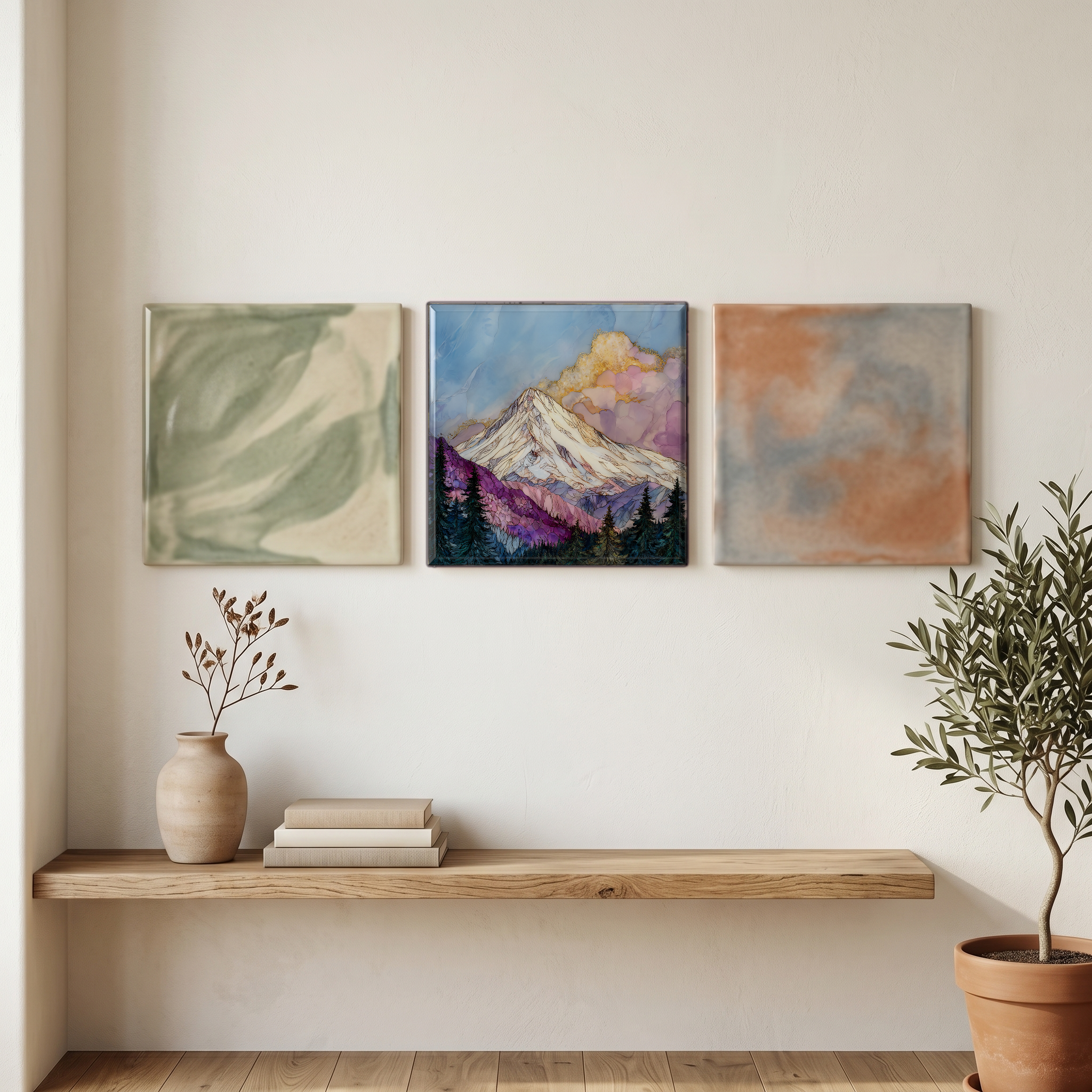
Three or five different vistas, hung together — a chapter of places you've been, or want to go.
The place, in three passes.
Mount Shasta is a stratovolcano at the southern end of the Cascade Range, rising 14,179 feet above the high valley of Siskiyou County in far northern California. It is the second-highest peak in the Cascades after Mount Rainier and the fifth-highest summit in California, standing alone above the surrounding landscape rather than within a chain. The upper mountain holds five named glaciers, including Whitney Glacier, the longest in California. The mountain lies within Shasta-Trinity National Forest, and the town of Mount Shasta sits at its western foot, reached by Interstate 5 between Redding and the Oregon border.
The mountain makes its own weather. Pacific air rising up the cone is forced into lenticular clouds, smooth lens-shaped formations that park motionless above the summit, sometimes stacked three or four high. These clouds have made Mount Shasta one of the most photographed weather formations in the country and a touchstone for cloud atlases. The summit sits at 14,179 feet, well above the freezing line through most of the year, and glaciers descend from its flanks even in late summer. From the town of Mount Shasta at roughly 3,600 feet, the air thins on the climb up Everitt Memorial Highway to Bunny Flat trailhead at 6,950 feet.
The mountain is reached from the town of Mount Shasta on Interstate 5, about 60 miles south of the Oregon border and 230 miles north of San Francisco. Most visitors drive Everitt Memorial Highway up to Bunny Flat at 6,950 feet, the trailhead for both day-hikers and summit climbers. Avalanche Gulch, the standard summit route, is climbed from late April through early July when the snow is stable; climbers above 10,000 feet must carry a summit pass and a wag bag from the Mount Shasta Ranger Station. The headwaters of the Sacramento River rise from a cold spring in Mount Shasta City Park at the foot of the mountain.