Mossbrae Falls
— — water arriving sideways through the moss.
Not only on a wall.


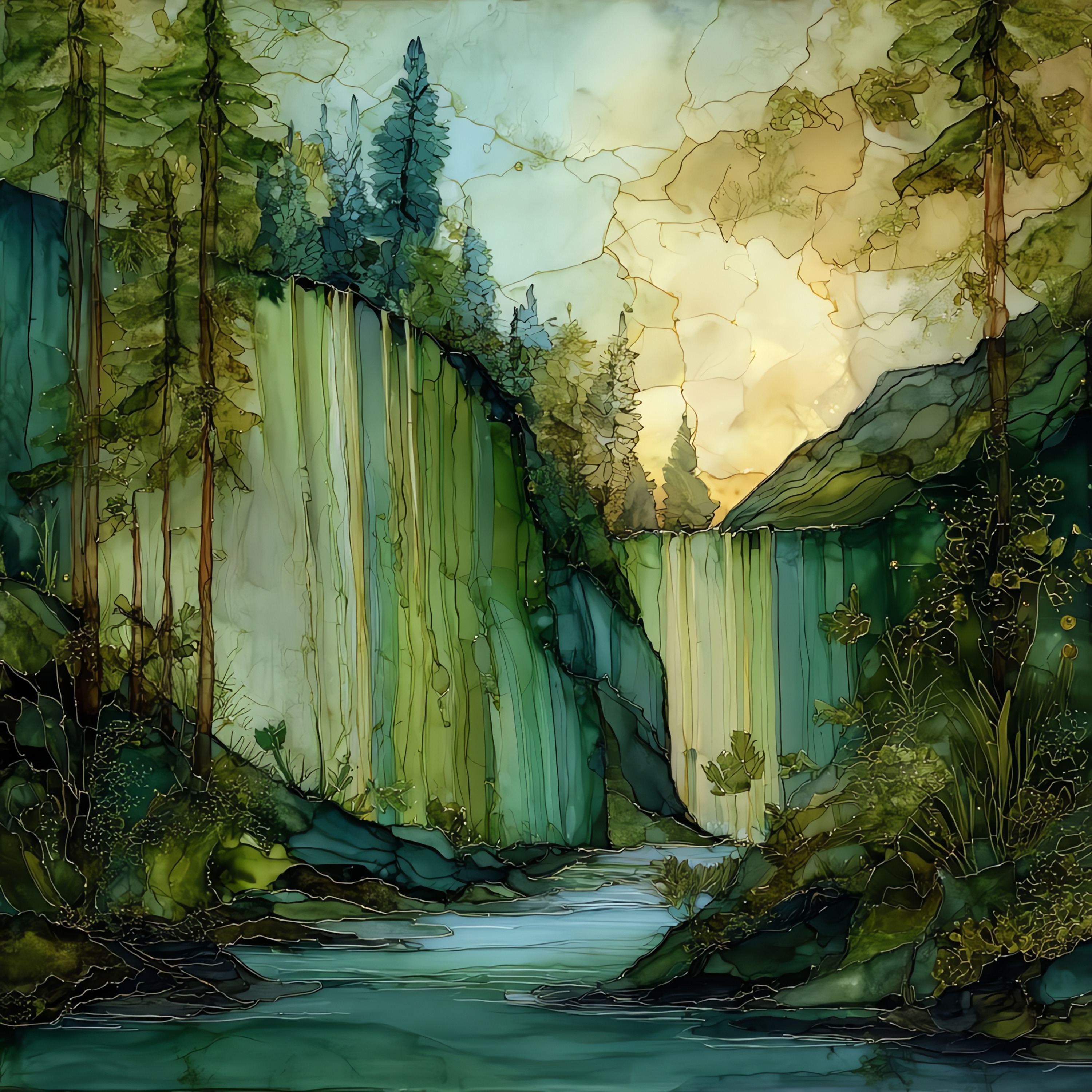
“A wall of water along the upper Sacramento River, two miles north of the town of Dunsmuir. Spring water filtered through basalt from Mount Shasta's snowfields reappears here, fanning across a 175-foot spread of mossy cliff. Not a single waterfall but dozens of overlapping veils, arriving sideways and all at once into the cold river below. The cliff stays green because the springs run at the same temperature all year. People have walked the railroad tracks to reach it for over a century, and most of them stop talking on the last stretch.
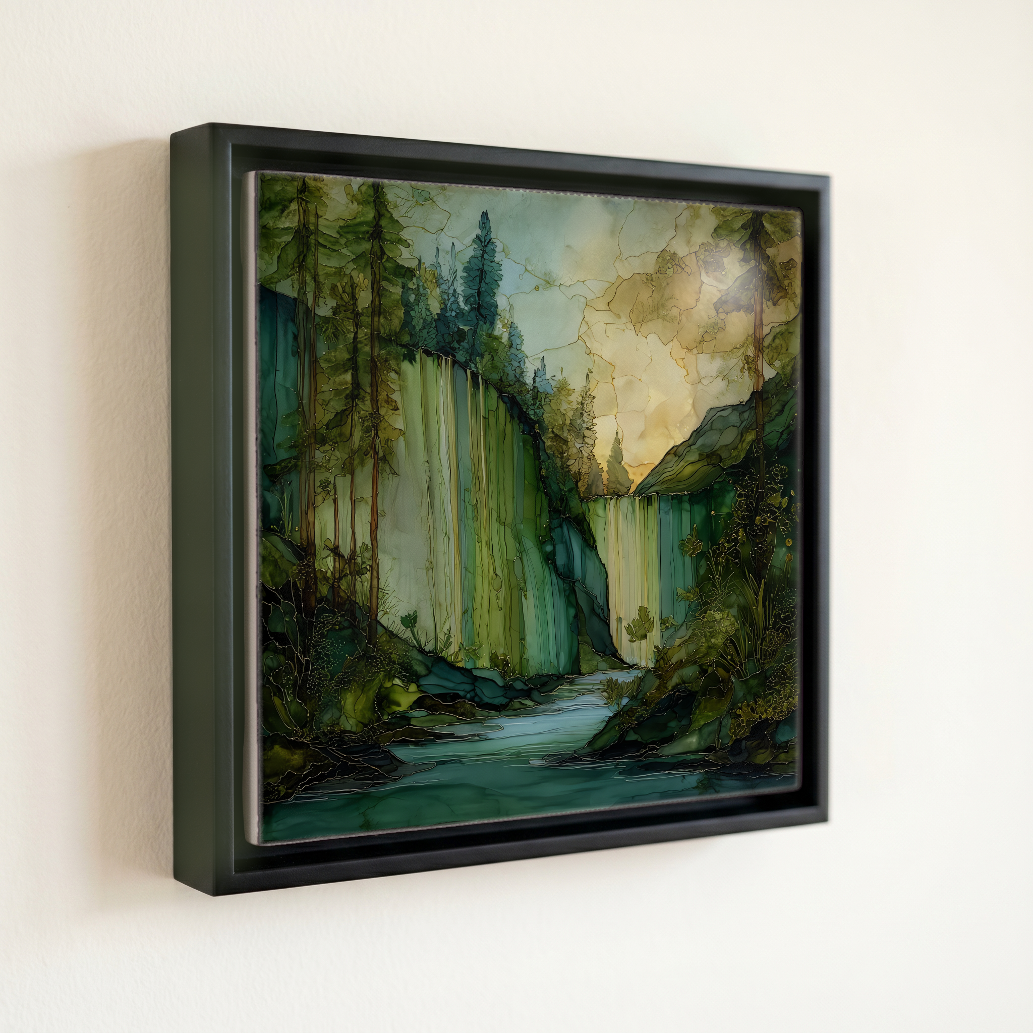
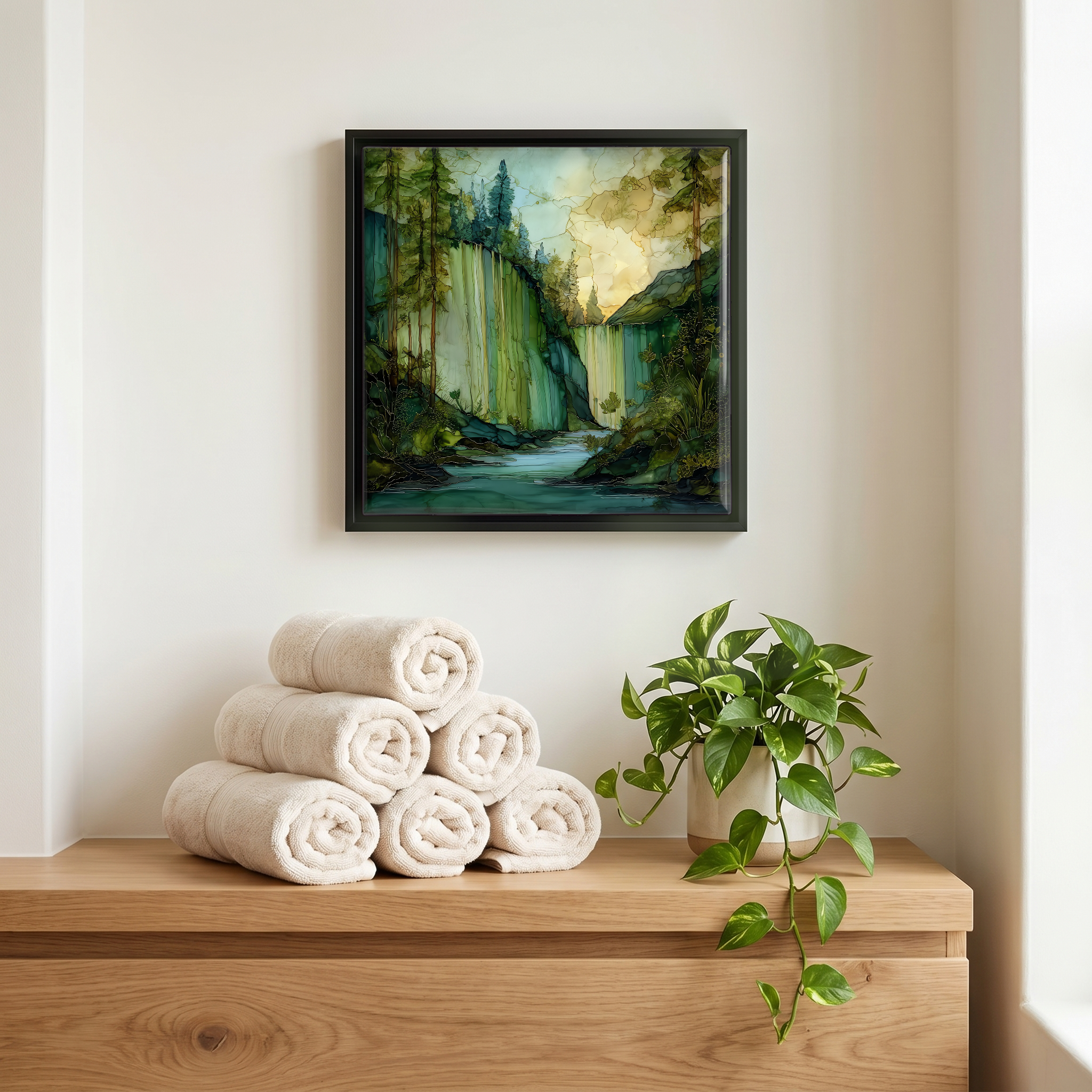
Mossbrae Falls, on ceramic.
Each tile is finished by hand in our Knoxville studio. Artwork is slowly infused into the ceramic surface under high heat and pressure, and rests beneath a thin glossy finish. The colour lives in the surface, not on top of it.
Pick any four 4-inch tiles — National Parks you've been to, a Smokies set, the four seasons of one place. $ for a set of , cork-backed, ready to live on the table.

Each tile ships in a kraft box, tied with cream ribbon, with a handwritten note from the studio if you'd like to add one.

Three or five different vistas, hung together — a chapter of places you've been, or want to go.
The place, in three passes.
Mossbrae Falls sits on the upper Sacramento River about two miles north of the small town of Dunsmuir, in Siskiyou County, northern California, at roughly 2,200 feet of elevation. The falls form along the riverbank within the Shasta-Trinity National Forest watershed, about 30 miles south of Mount Shasta. The conventional approach for more than a century has been a 1.5-mile walk south along the Union Pacific Railroad line from the Shasta Retreat neighborhood, following the river upstream from the Hedge Creek Falls trailhead. The City of Dunsmuir, the U.S. Forest Service, and Union Pacific have been working since the mid-2010s on a sanctioned trail and pedestrian bridge across the Sacramento River from the Hedge Creek side.
The water that fans across the moss is groundwater, not surface runoff. Meltwater from Mount Shasta's snowfields filters downward through fractured basalt and reappears at the river's edge, where the porous cliff face acts as a wide, irregular spillway. The springs run all year at near-constant temperature, around 46 degrees Fahrenheit, which is why the surrounding rock stays mossy through August and into autumn. The falls drop about 50 feet across a 175-foot-wide spread of cliff directly into the Sacramento River. Mossbrae arrives in dozens of overlapping veils, woven through ferns and bryophyte mats. The name joins moss with brae, the Scots word for a steep hillside.
Access has been complicated for decades. The river-level shelf below the falls is reached today by walking south from the Shasta Retreat neighborhood along the active Union Pacific rail line, about 1.5 miles each way. The railroad and the City of Dunsmuir both discourage the route as trespassing on private rail right-of-way. A legal trail project, including a pedestrian bridge over the Sacramento River from the Hedge Creek Falls trailhead, has been in planning since the mid-2010s; easements, environmental review, and funding have repeatedly delayed groundbreaking. The falls run all year, but the cliff is greenest from late spring through midsummer, when both snowmelt and mosses are at their peak.