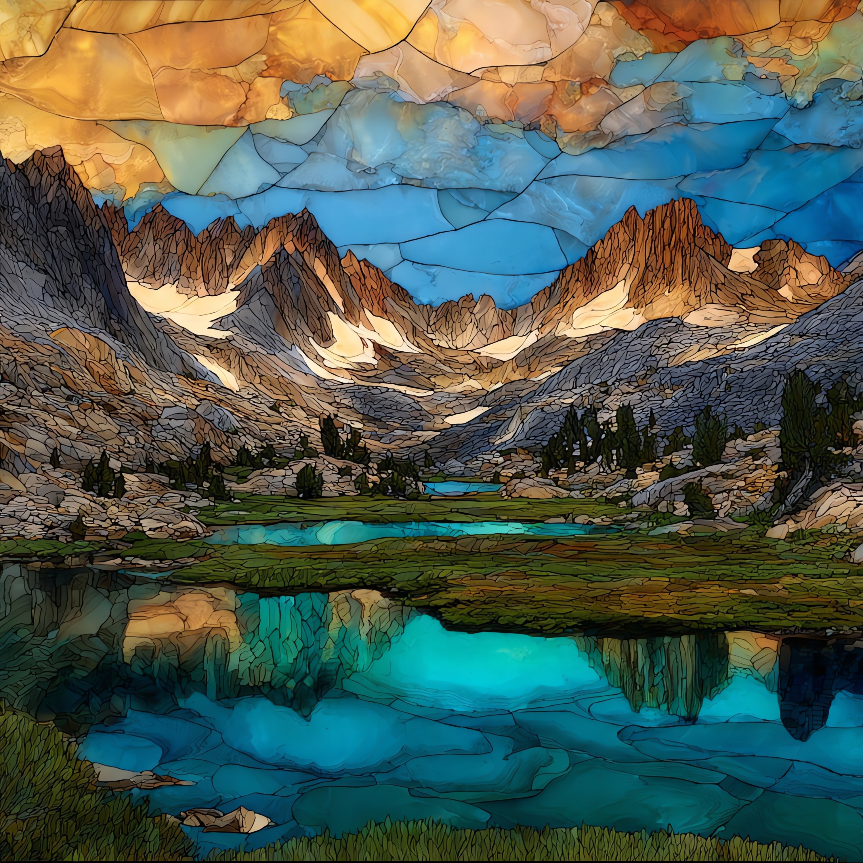
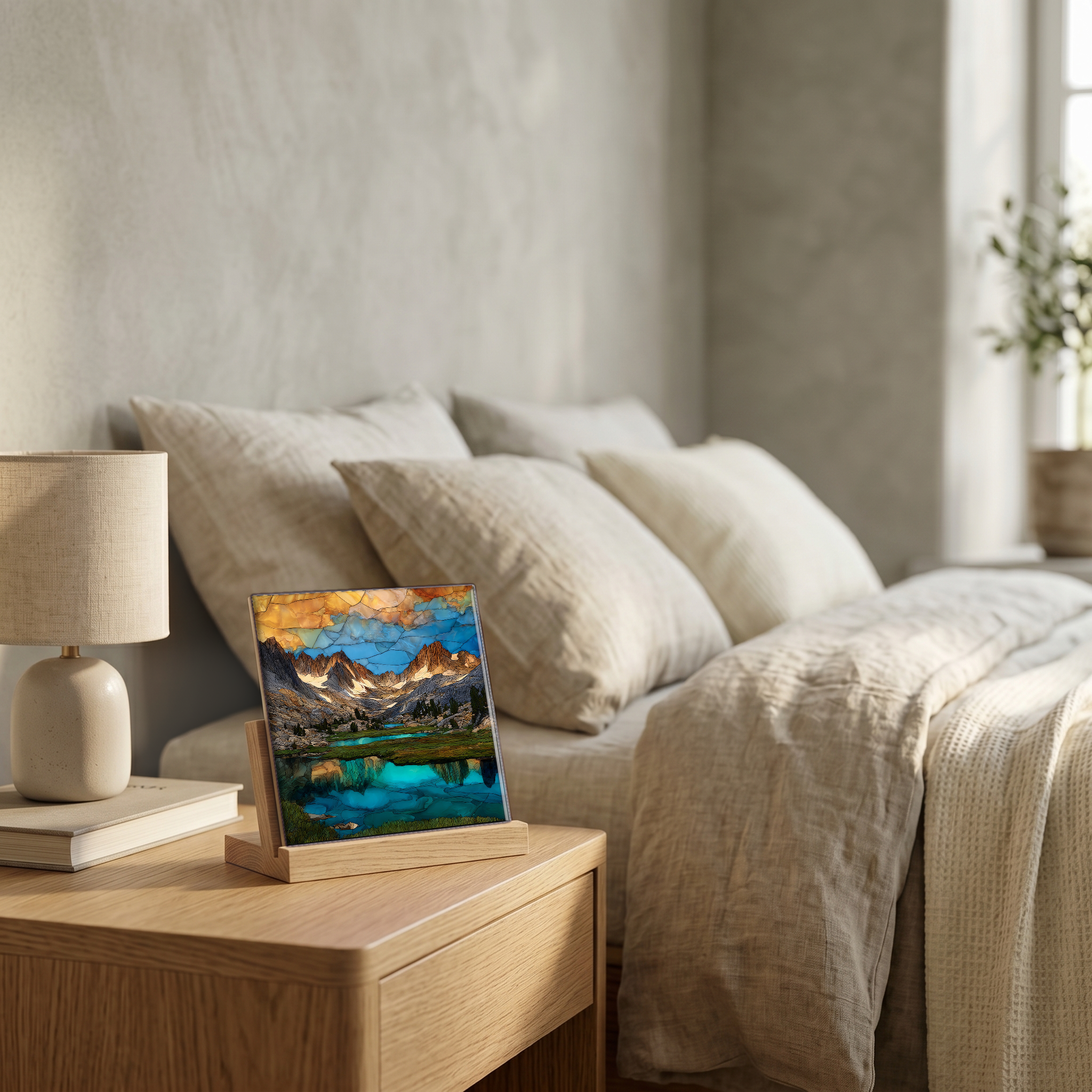
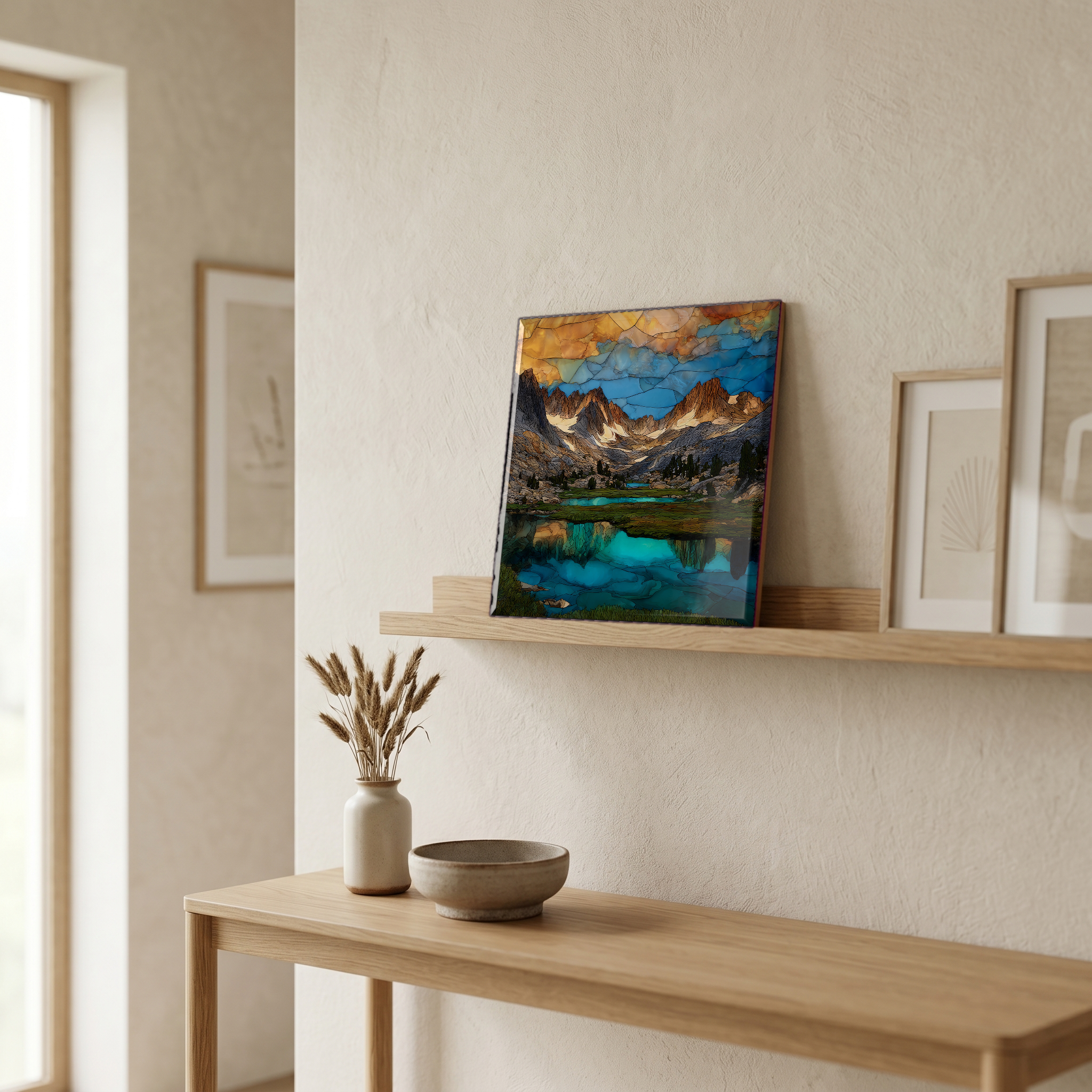
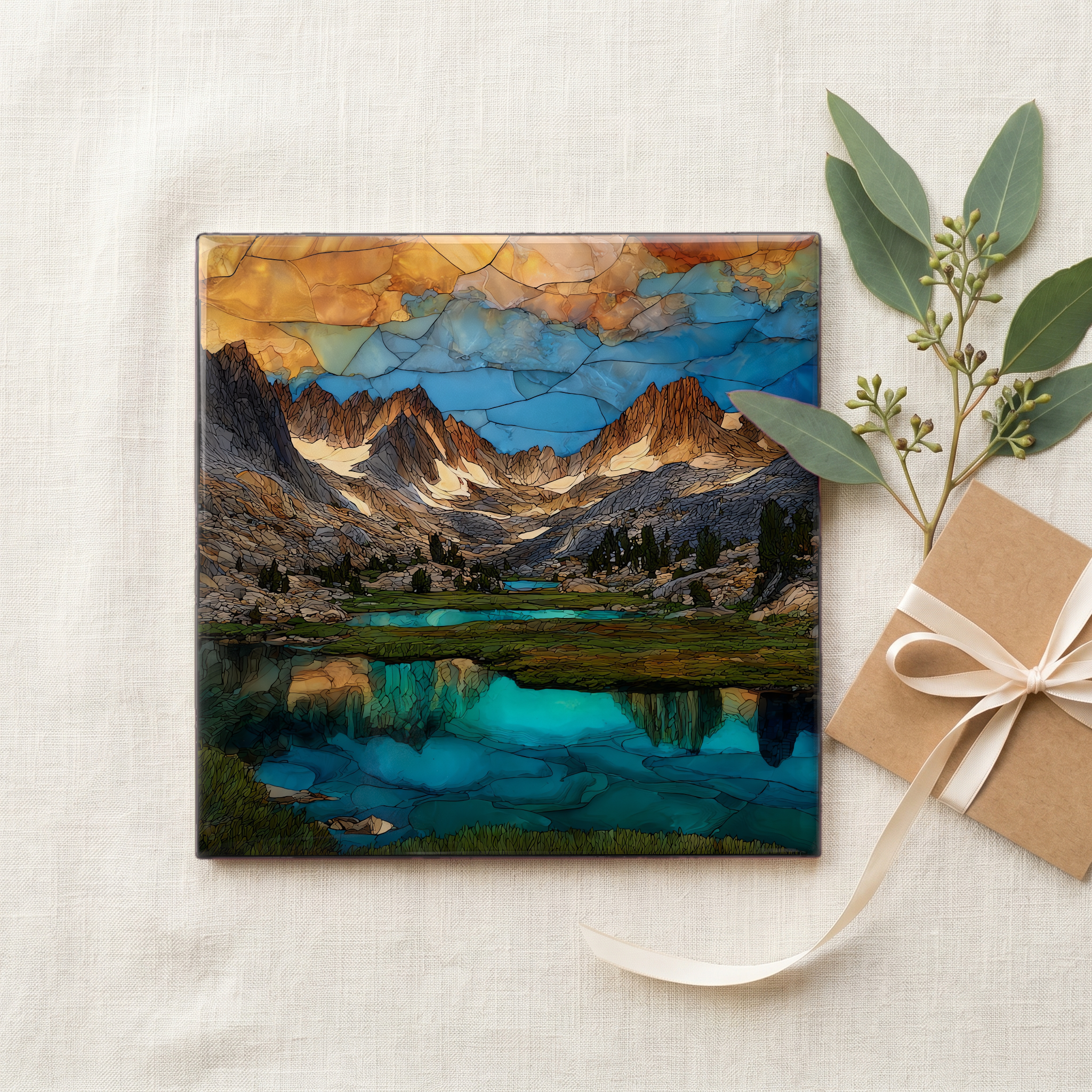
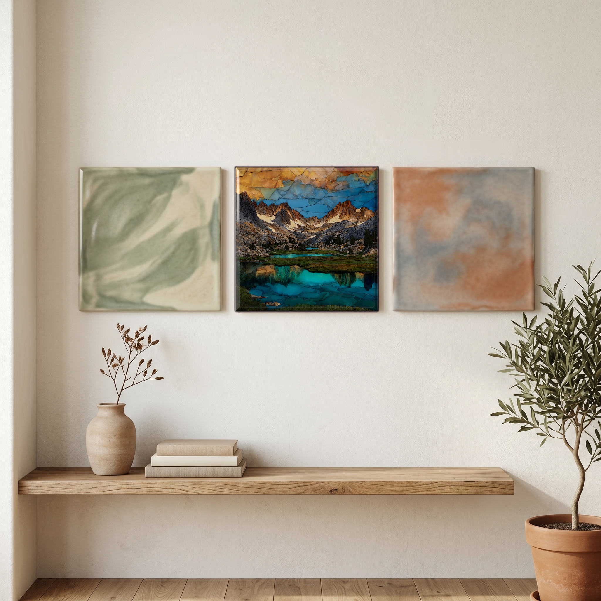
Little Lakes Valley
— a row of small lakes the glacier set down.
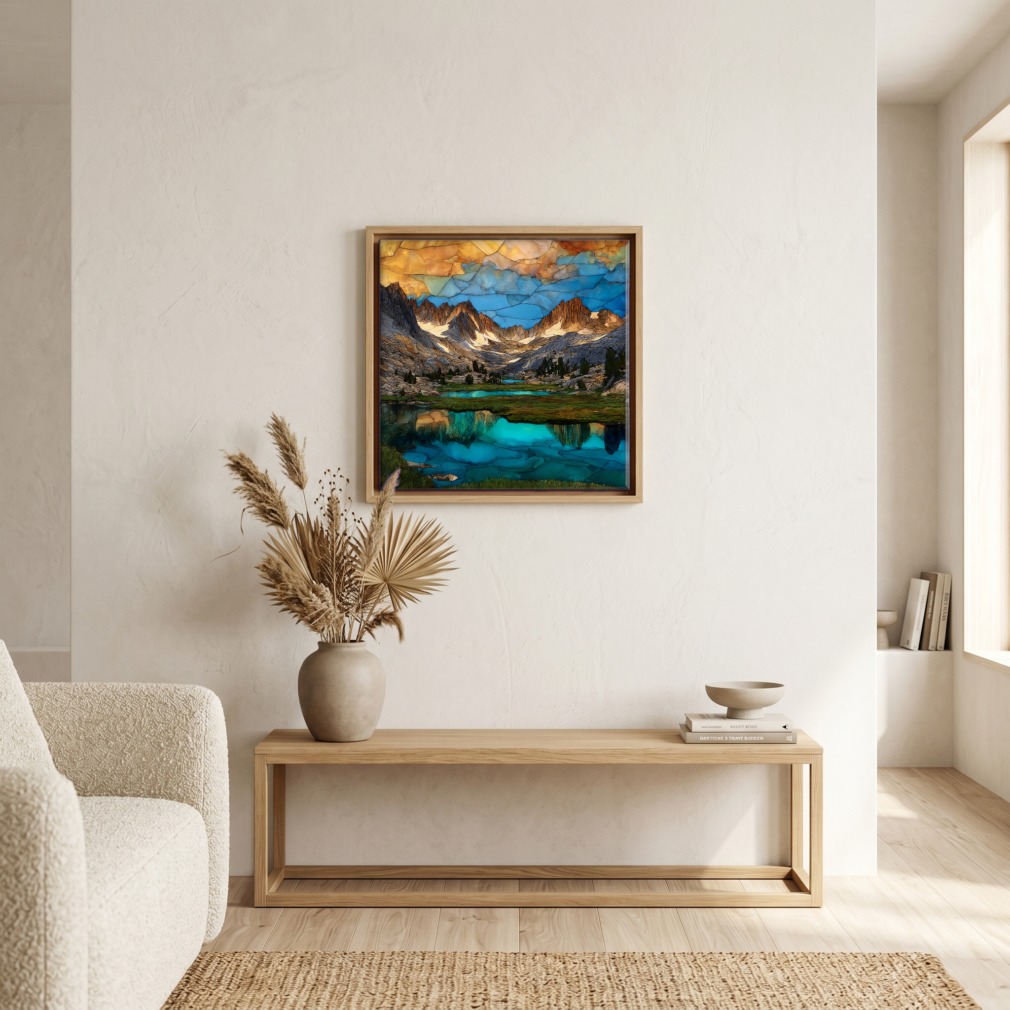
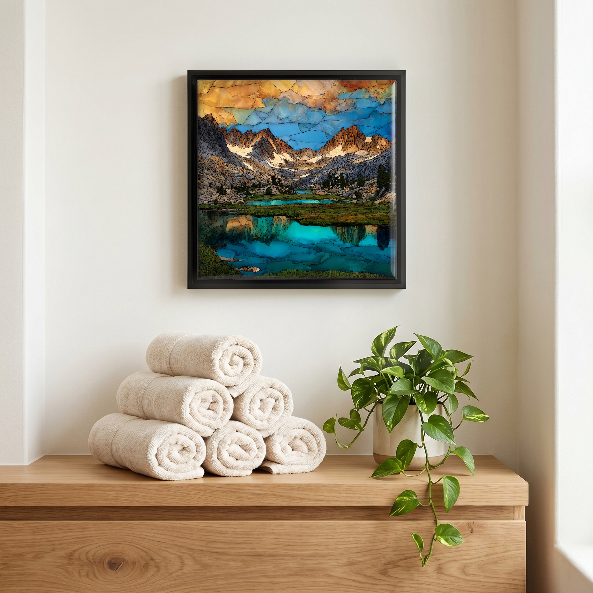
Not only on a wall.
“A glacial trough in the Eastern Sierra, walked from one of the highest trailheads in the range. The lakes step up the valley one after another: Mack, Marsh, Heart, Box, Long. The Sierra crest closes the far end. In late summer the meadow grass between the lakes goes pale gold and the columbine still holds along the inlets. In October the aspens along Rock Creek turn copper for two weeks and then the snow comes. The road closes after that, and the valley belongs to the wind for eight months.
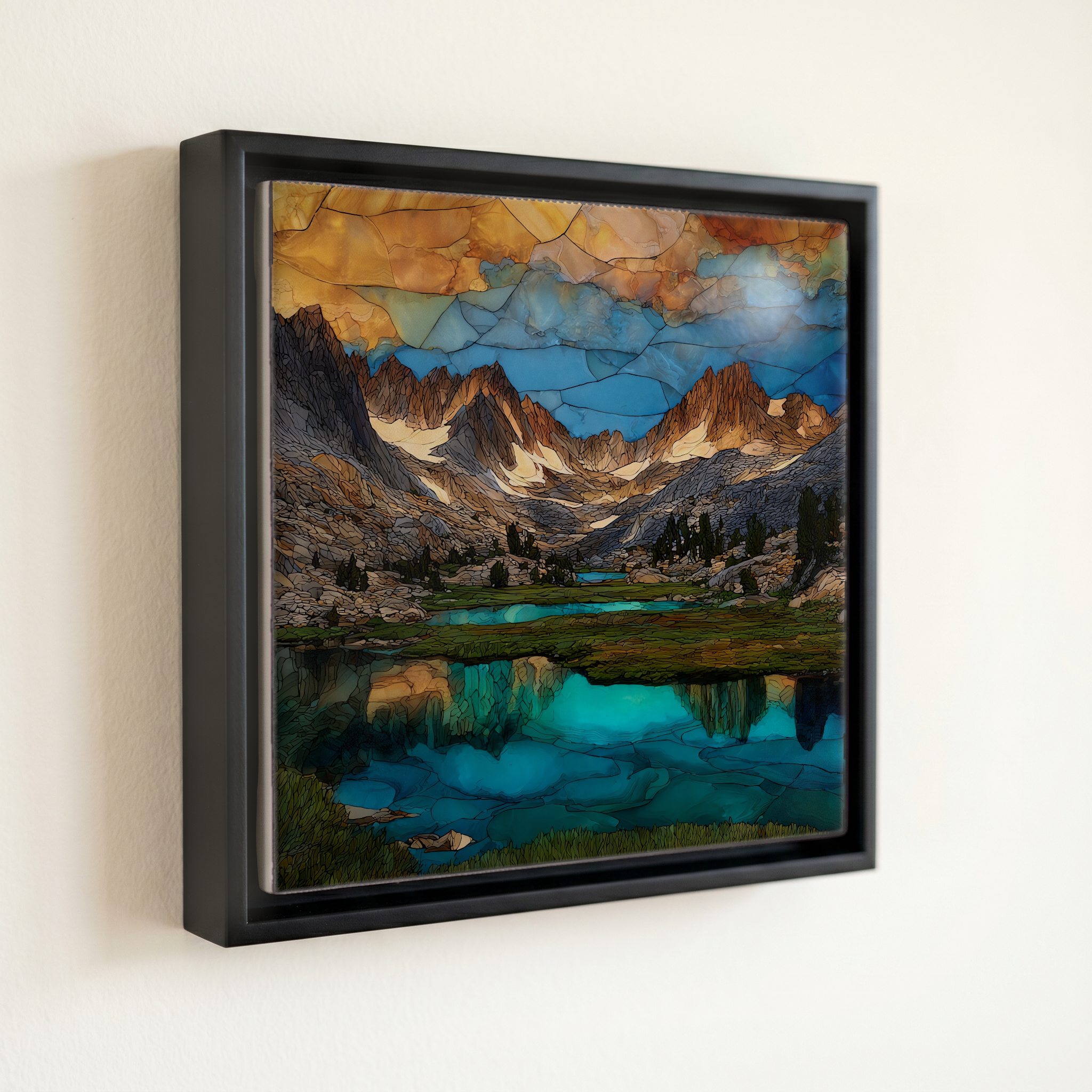
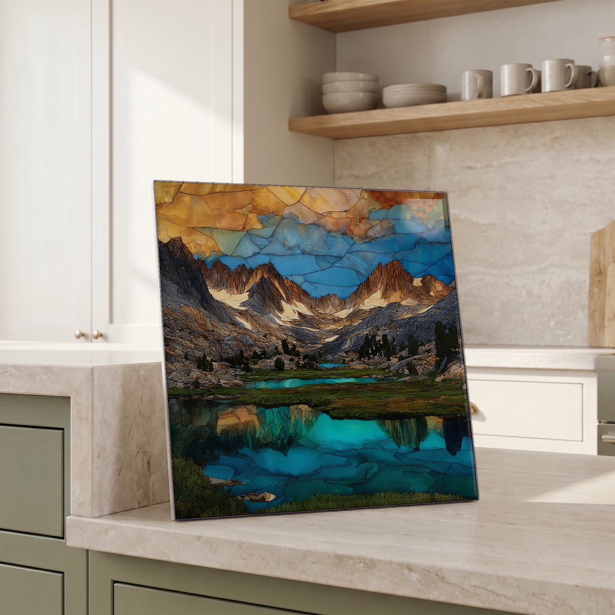
Little Lakes Valley, on ceramic.
Each tile is finished by hand in our Knoxville studio. Artwork is slowly infused into the ceramic surface under high heat and pressure, and rests beneath a thin glossy finish. The colour lives in the surface, not on top of it.
Pick any four 4-inch tiles — National Parks you've been to, a Smokies set, the four seasons of one place. $ for a set of , cork-backed, ready to live on the table.
Each tile ships in a kraft box, tied with cream ribbon, with a handwritten note from the studio if you'd like to add one.
Three or five different vistas, hung together — a chapter of places you've been, or want to go.
The place, in three passes.
Little Lakes Valley is a glacially carved basin in the Eastern Sierra Nevada, set in Inyo National Forest within the John Muir Wilderness in Mono County, California. The valley extends roughly four miles south from the Mosquito Flat trailhead, one of the highest road-accessible trailheads in the Sierra at about 10,255 feet, reached by Rock Creek Road off US-395 between Mammoth Lakes and Bishop. The basin is bounded on the west and south by the Sierra Crest, with Mount Morgan, Mount Mills, Mount Abbot, Mount Dade, and Bear Creek Spire rising above 13,000 feet. The drainage is the headwaters of Rock Creek, which descends north toward the Owens Valley.
The valley holds a chain of small alpine lakes set in step-pools by Pleistocene glaciation, beads on the line of Rock Creek as it drops north. Mack Lake comes first at the head of the trail, then Marsh, Heart, Box, and Long Lake about two miles in at roughly 10,540 feet. Above Long Lake the trail forks toward Chickenfoot Lake and Morgan Pass on one side, and toward the Gem Lakes on the other. The water is clear rather than glacial-milky; the basin no longer holds active ice, only the cirques and moraines the last glacier left.
The road past Rock Creek Lake closes for the winter, usually from late October until late June or early July, depending on snowpack. The trailhead opens once the Forest Service clears the last mile and the wildflowers begin a few weeks later. Late July and August are the prime weeks for paintbrush, columbine, and shooting stars in the meadow strips between the lakes. The aspens along the lower drainage turn the first or second week of October. Afternoon thunderstorms build often above 11,000 feet in July and August, and weather moves fast.