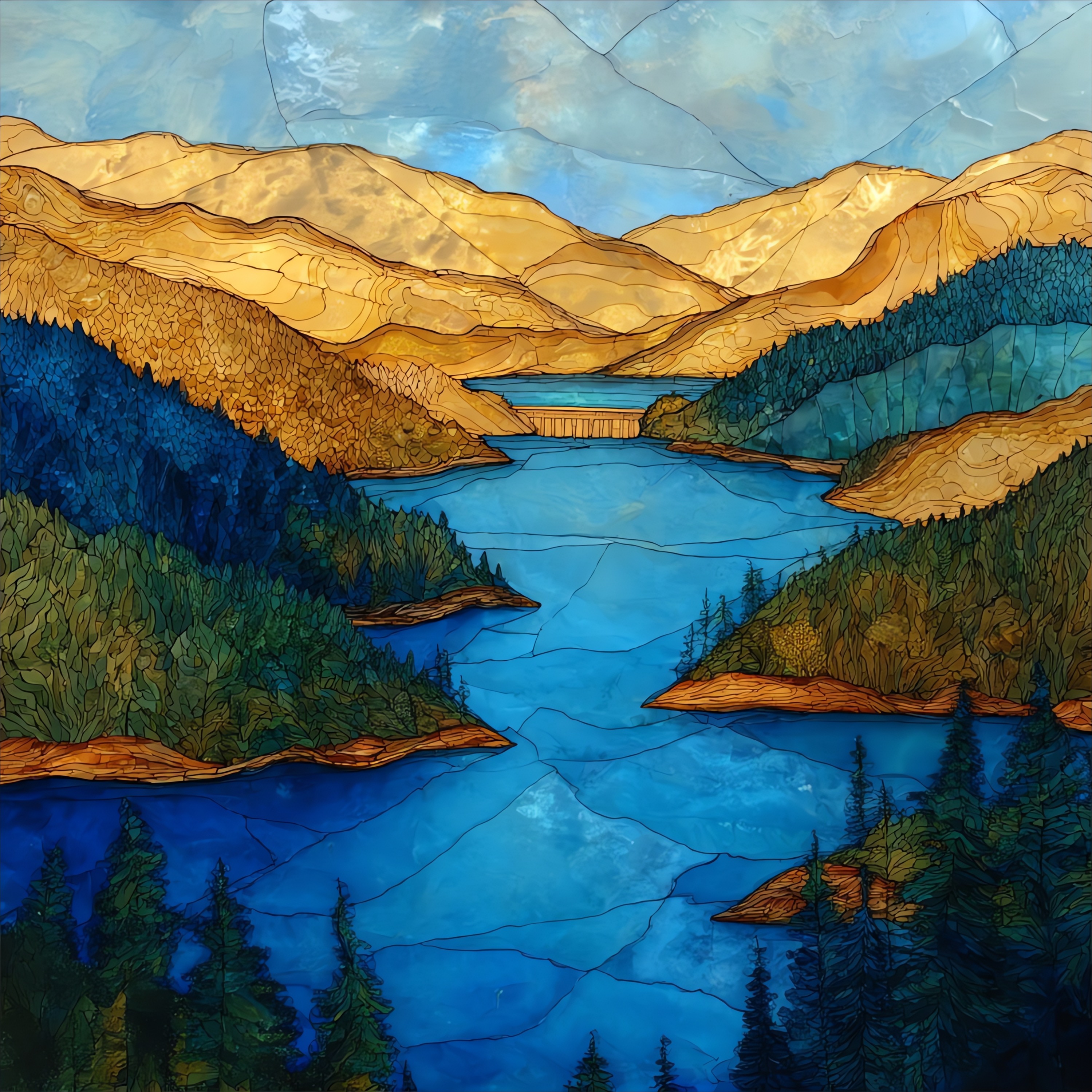
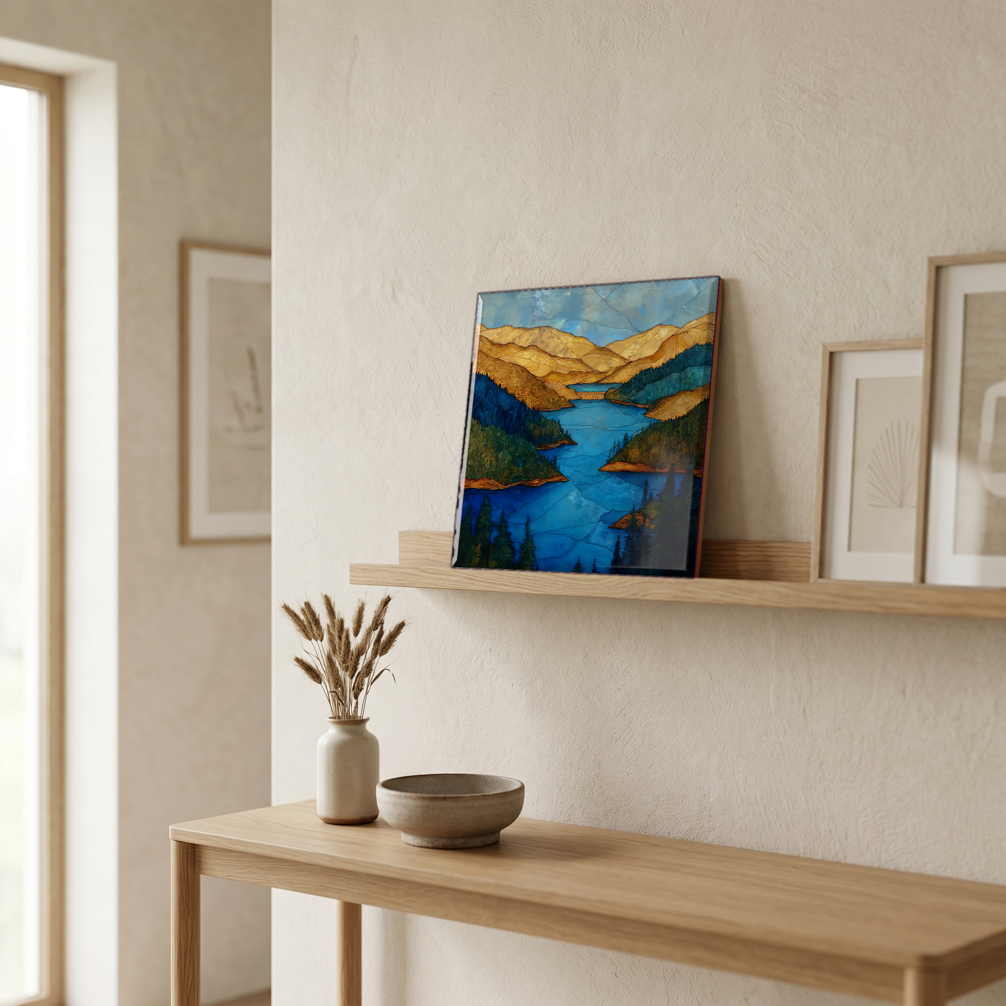
Lake Shasta
— the lake the four rivers became.
Not only on a wall.

“A reservoir at the top of the Sacramento Valley, where the Pit, the McCloud, the Squaw, and the Sacramento meet behind Shasta Dam. Iron-red earth above the waterline, a band that rises and falls with the year. Houseboats out by August, the McCloud arm always the coldest. Mount Shasta sits white to the north, fifty miles off. When the lake is full it holds more water than any reservoir in California; when it isn't, the bare ring around it is a record of the year's rain.
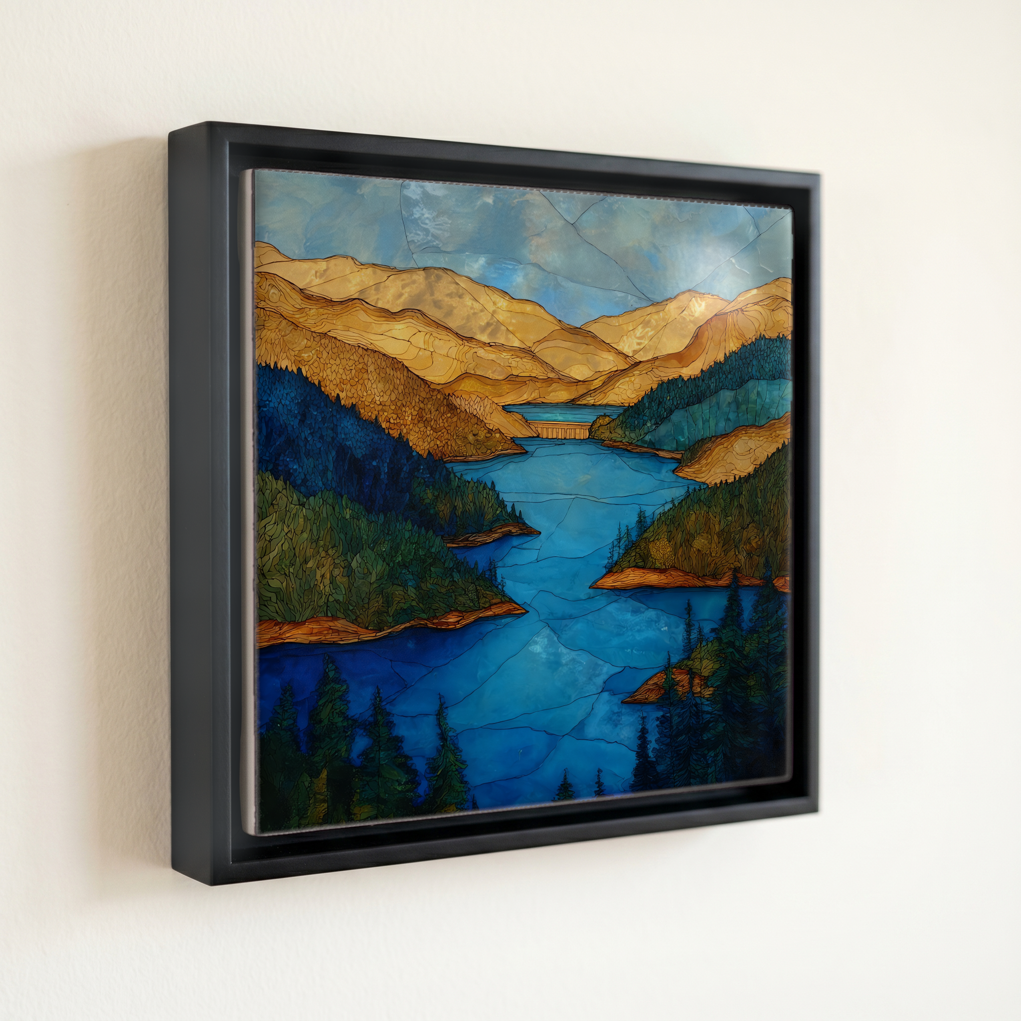
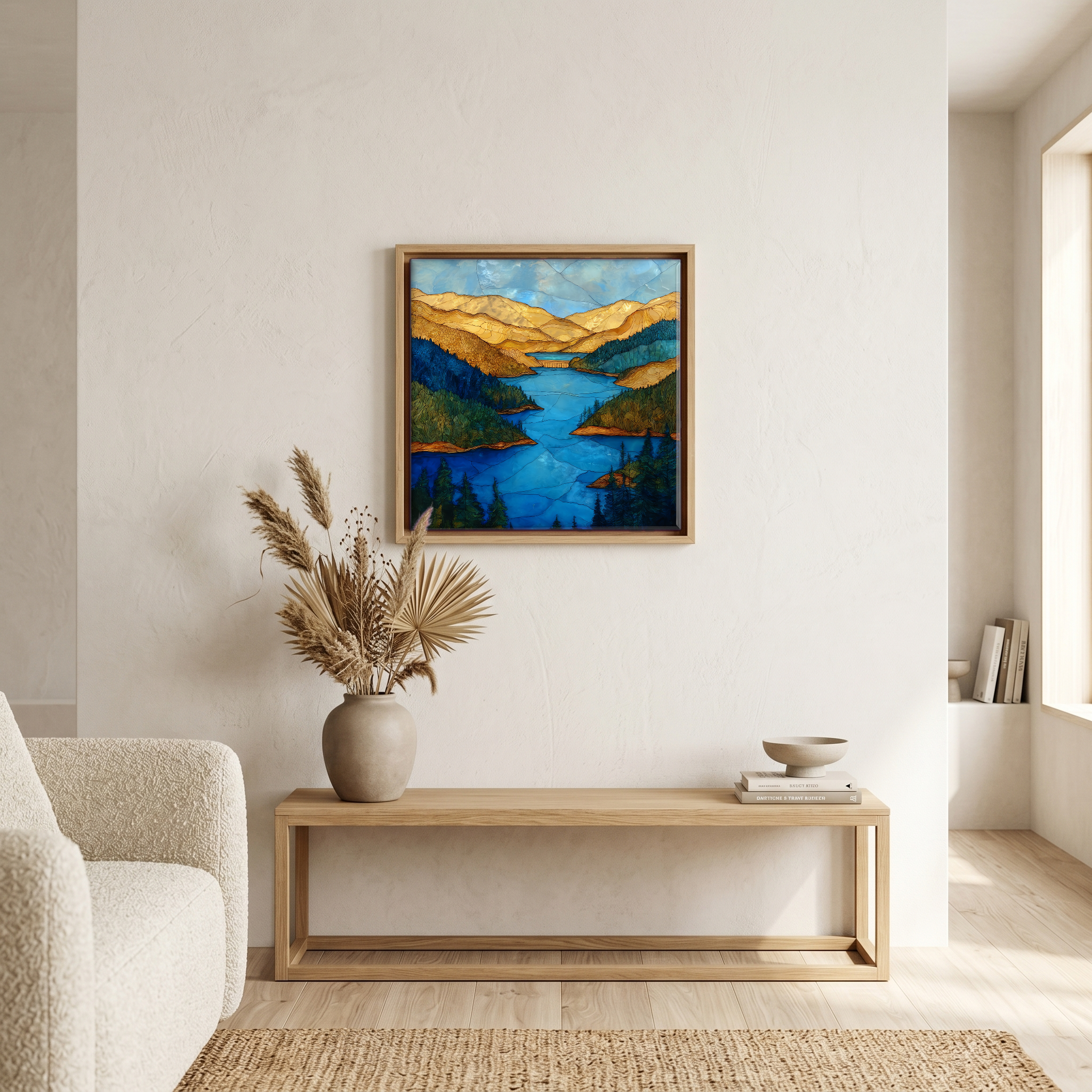
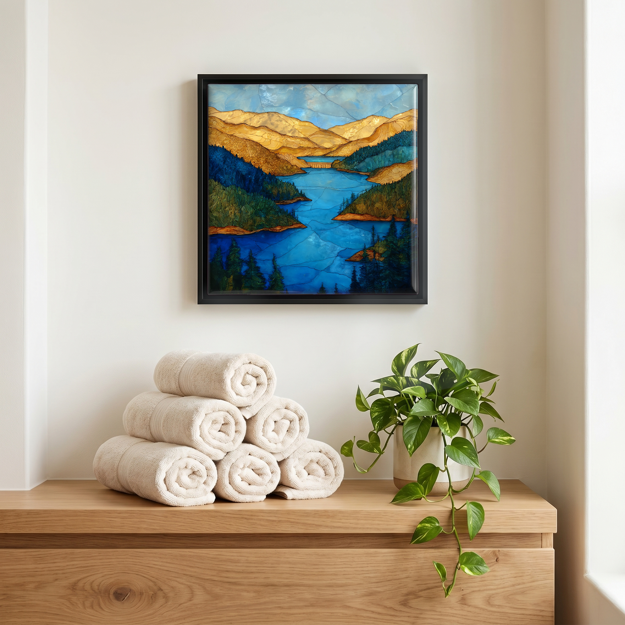
Lake Shasta, on ceramic.
Each tile is finished by hand in our Knoxville studio. Artwork is slowly infused into the ceramic surface under high heat and pressure, and rests beneath a thin glossy finish. The colour lives in the surface, not on top of it.
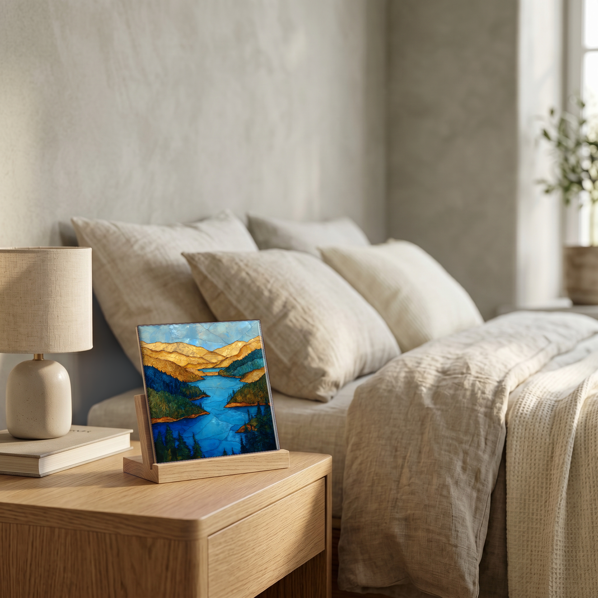
Pick any four 4-inch tiles — National Parks you've been to, a Smokies set, the four seasons of one place. $ for a set of , cork-backed, ready to live on the table.
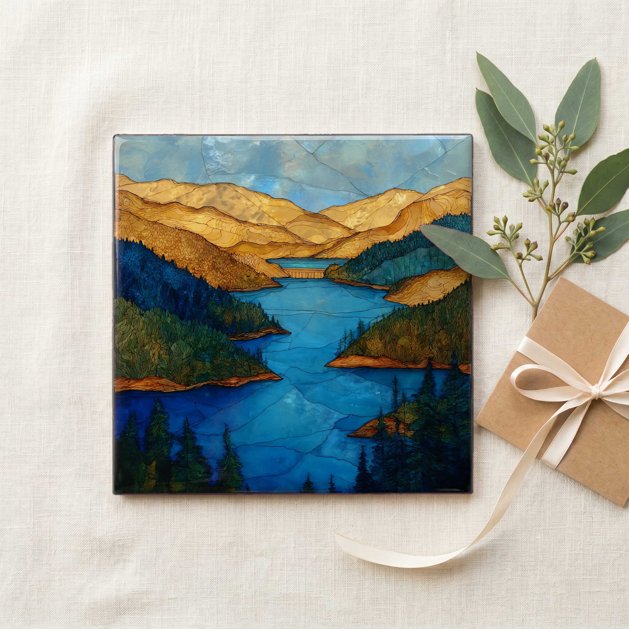
Each tile ships in a kraft box, tied with cream ribbon, with a handwritten note from the studio if you'd like to add one.
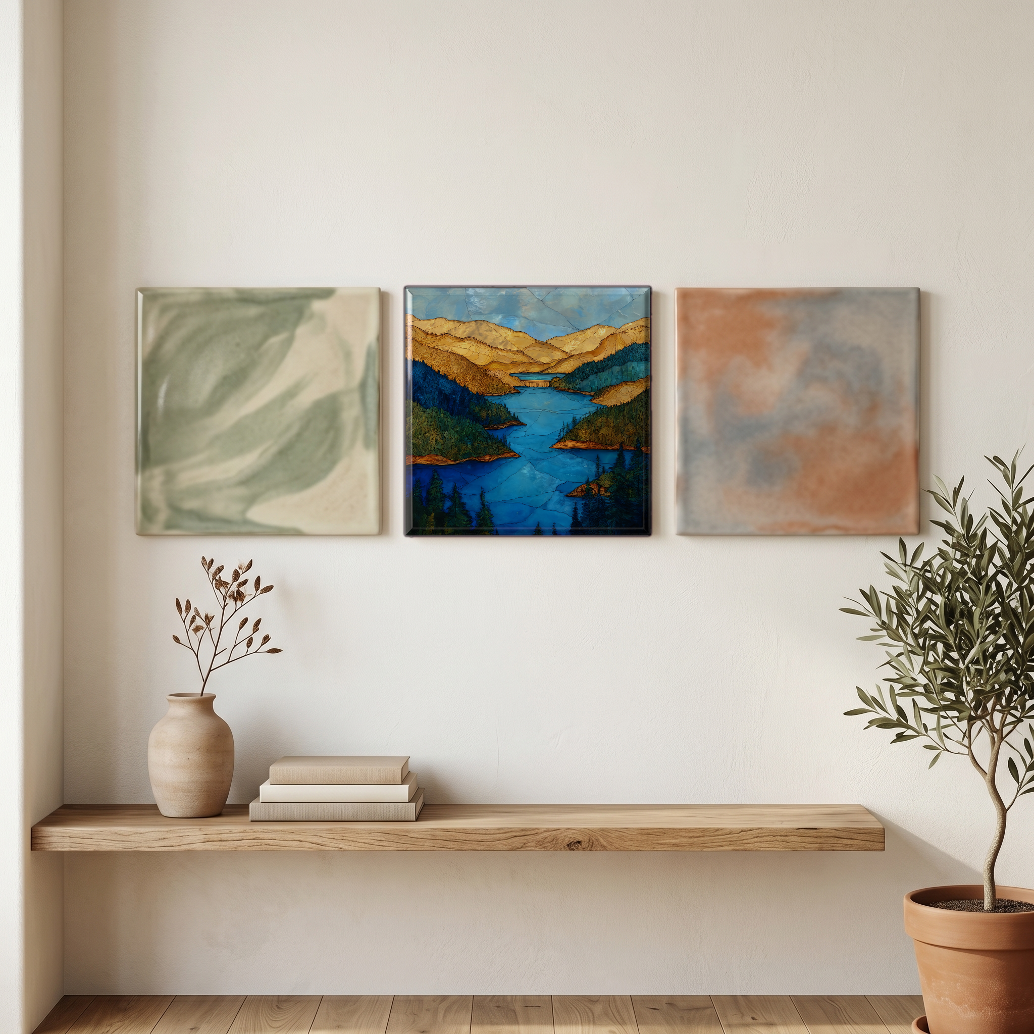
Three or five different vistas, hung together — a chapter of places you've been, or want to go.
The place, in three passes.
Lake Shasta is a reservoir at the head of California's Sacramento Valley, fifteen miles north of Redding in Shasta County. The lake is formed by Shasta Dam, a 602-foot concrete arch-gravity dam completed in 1945 by the U.S. Bureau of Reclamation as the cornerstone of the Central Valley Project. Four river arms feed the lake: the Sacramento, the McCloud, the Pit, and Squaw Creek. At full pool the reservoir holds 4.55 million acre-feet and has 365 miles of shoreline, the largest of any in California. The surrounding land is administered as the Shasta-Trinity National Forest, the largest national forest in the state. Mount Shasta, a 14,179-foot stratovolcano in the southern Cascades, rises fifty miles to the north.
The water arrives at the lake from four directions and three different terrains. The Pit River drains the volcanic Modoc Plateau to the east; the McCloud carries cold spring-fed flow off Mount Shasta's western slopes; the Sacramento descends from the Klamath Mountains; and Squaw Creek joins from the north. The McCloud arm runs the coldest and clearest, the Pit the most sediment-heavy after spring runoff. Lake elevation can swing 150 feet between a wet winter and a drought year, leaving a band of iron-stained earth visible from miles off. At full pool the surface sits at 1,067 feet above sea level.
The Bridge Bay and Holiday Harbor marinas operate the largest houseboat fleets on the lake, with the houseboat season running roughly April through October. Lake Shasta Caverns, a private concession on the McCloud arm, runs guided tours of a limestone cave system reached by boat shuttle and bus. Interstate 5 crosses the lake on the Pit River Bridge, a double-deck span 500 feet above the river. There is no entrance fee for shoreline use; the Shasta Unit of the National Recreation Area is managed by the Shasta-Trinity National Forest. Mid-afternoon summer air on the lake routinely passes 100°F, with the McCloud arm staying the most comfortable.