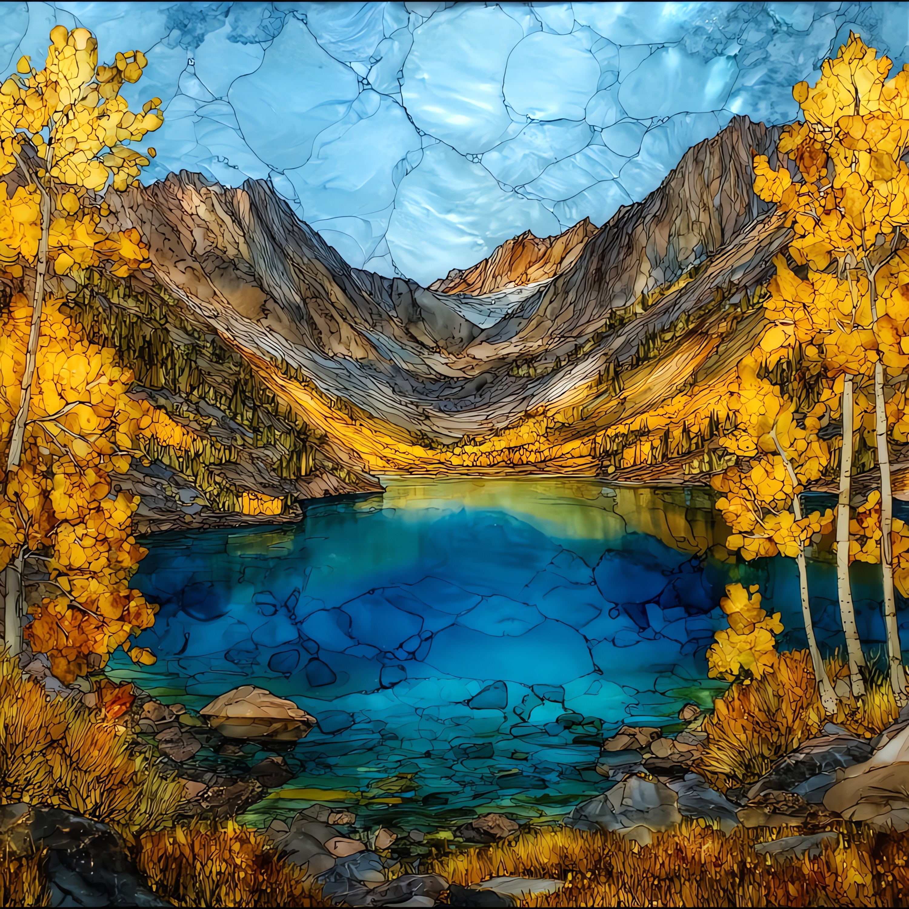
Lake Sabrina
— — the week the canyon goes gold.
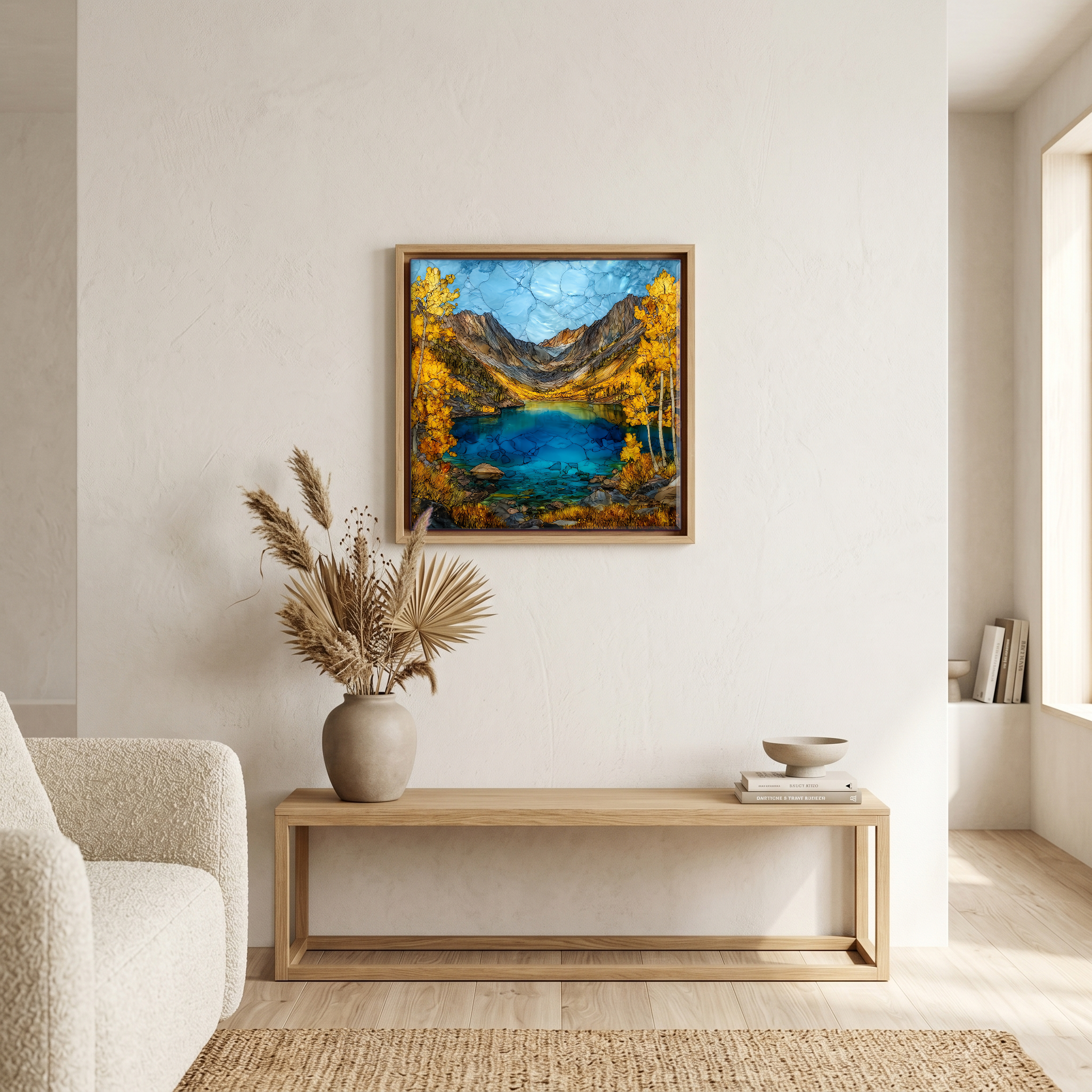
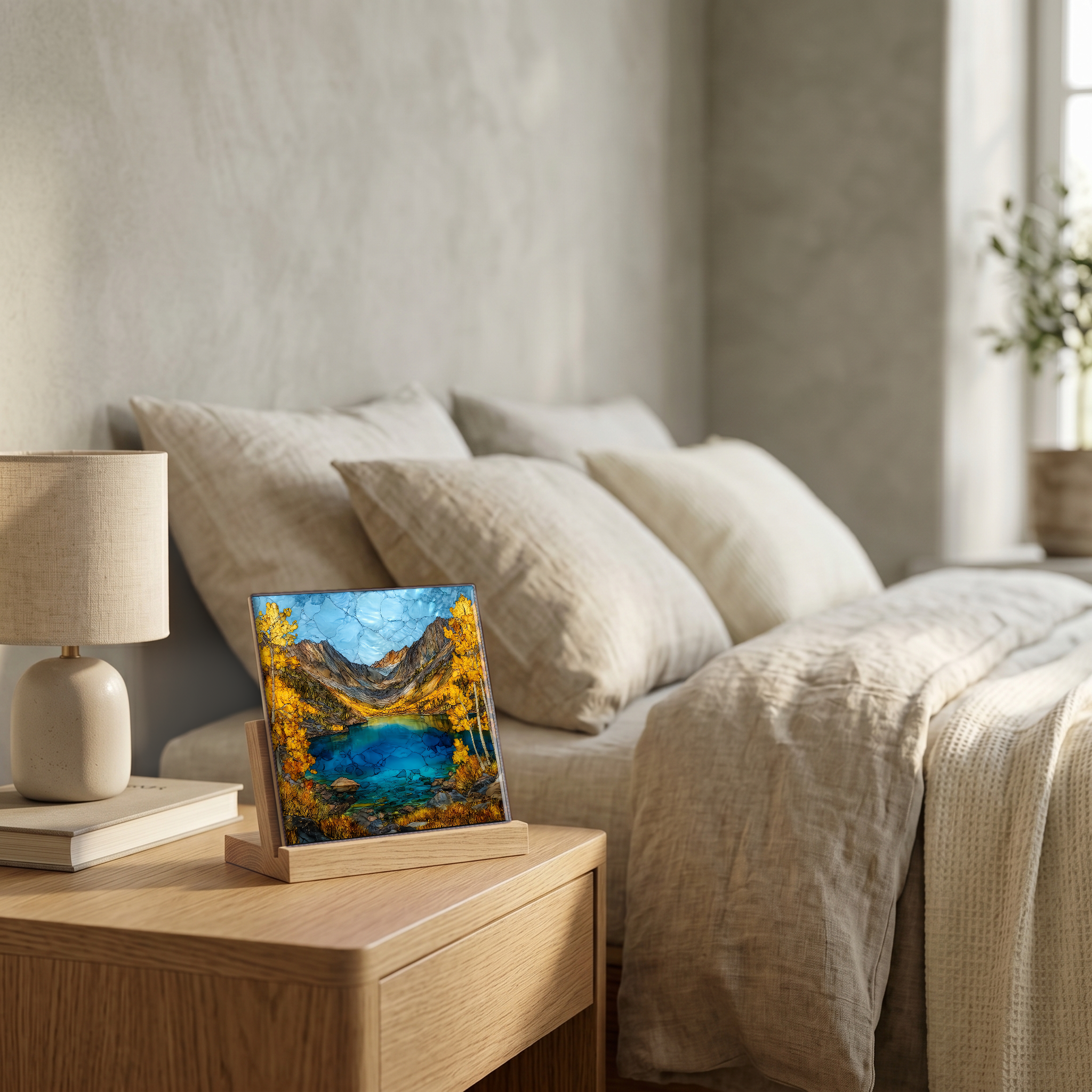
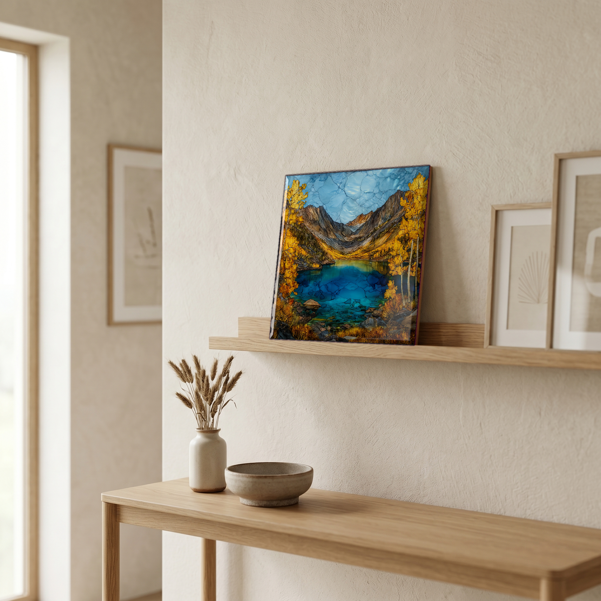
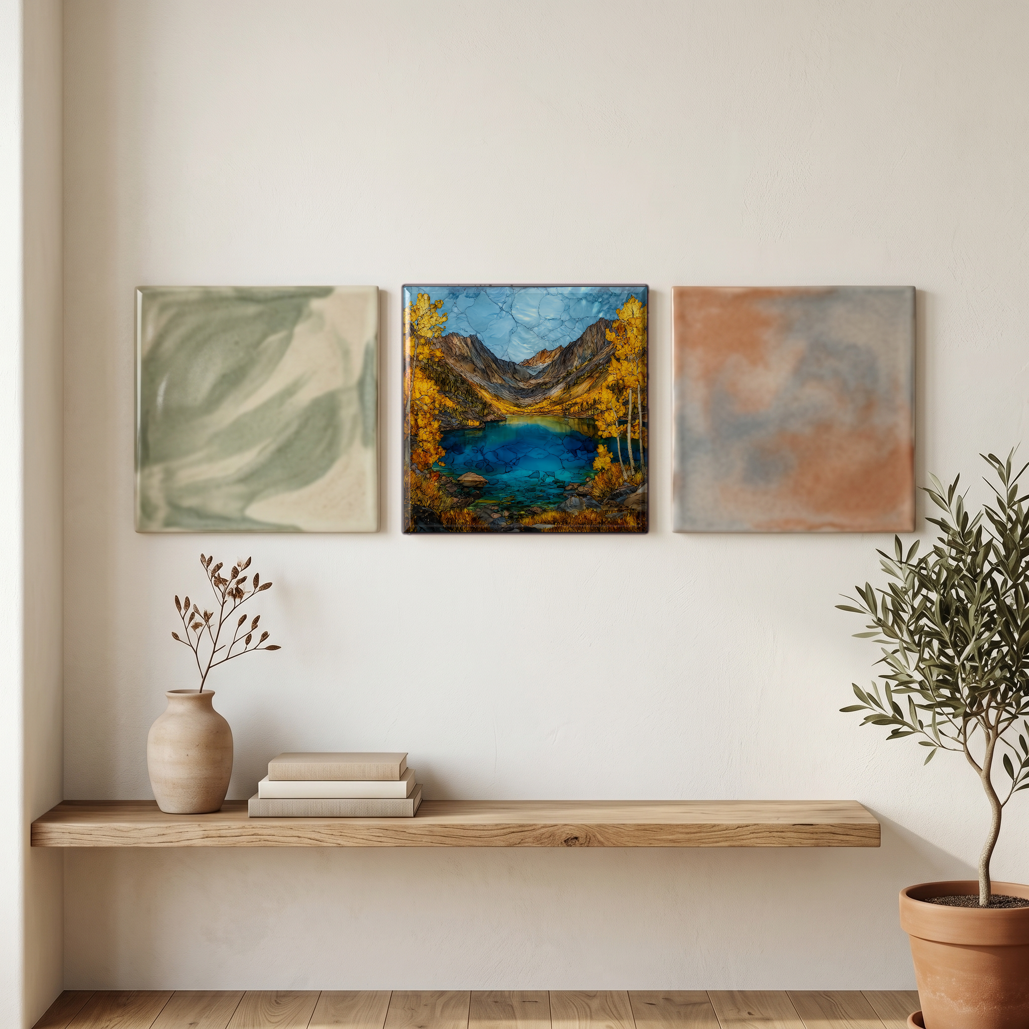
Not only on a wall.
“A high reservoir on the Middle Fork of Bishop Creek, eighteen miles up Highway 168 from town. The dam was finished in 1908 and the lake took its name from Sabrina Hobbs, the wife of the power-company manager who built it. The last week of September the aspens along the shore turn yellow first, then a steadier gold against the granite of Mount Thompson and the Sabrina Basin beyond. The road closes in winter and reopens in April. A small boat landing and a cafe sit at the south end. People come up, walk out on the dam, and stand there a while.
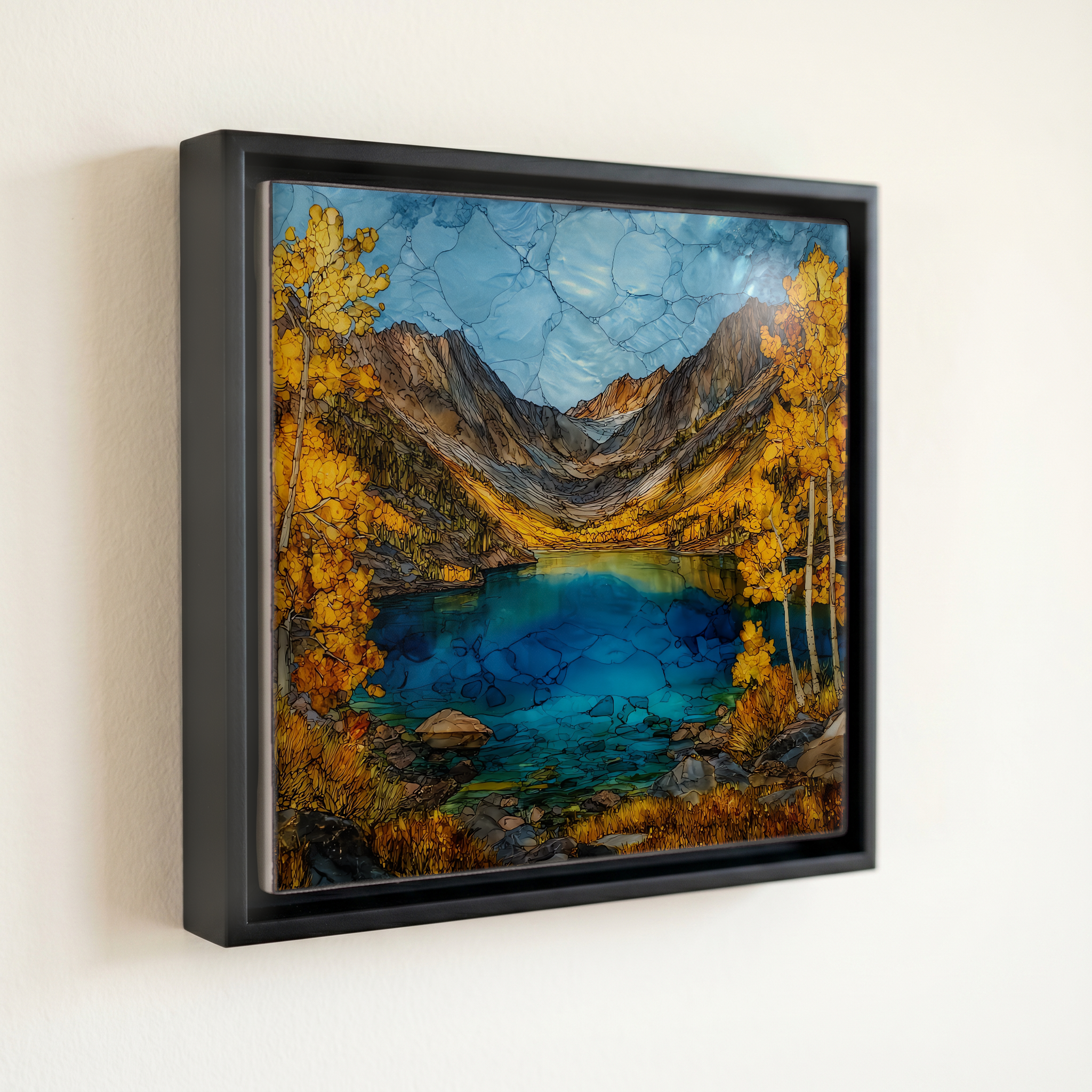
Lake Sabrina, on ceramic.
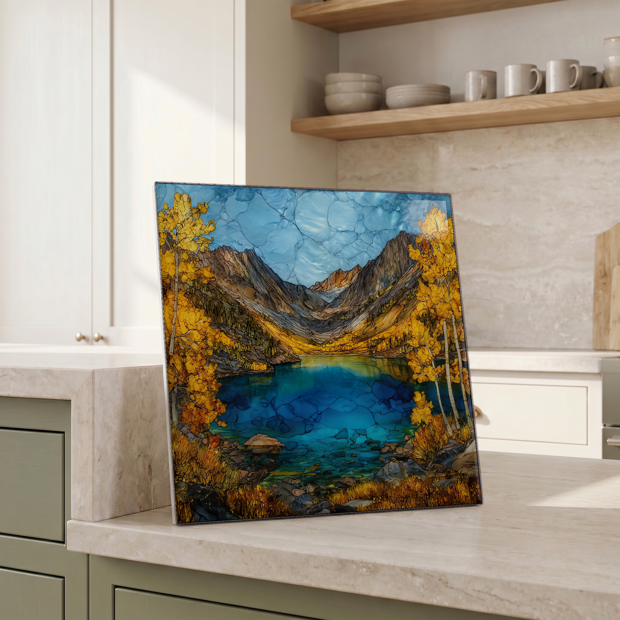
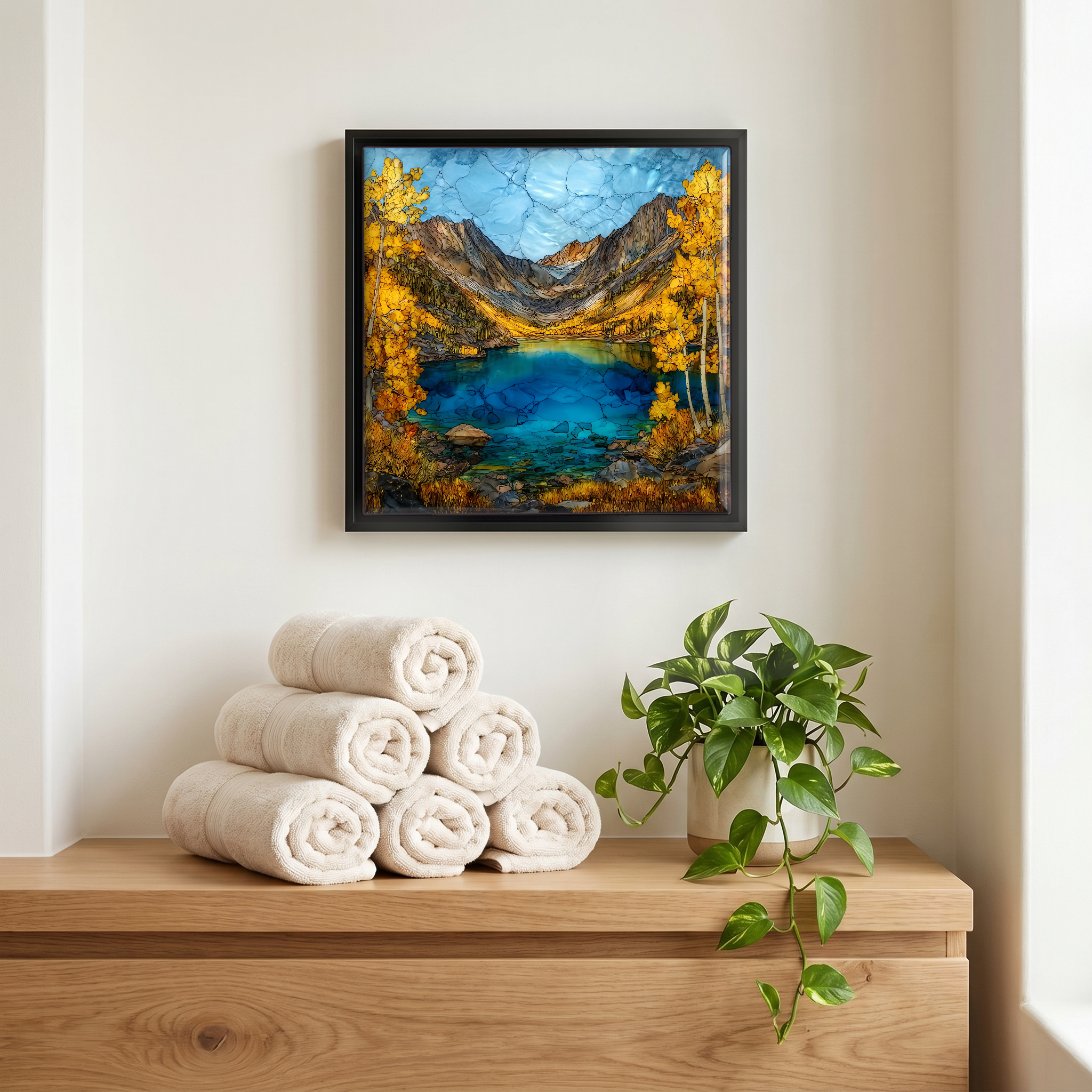
Each tile is finished by hand in our Knoxville studio. Artwork is slowly infused into the ceramic surface under high heat and pressure, and rests beneath a thin glossy finish. The colour lives in the surface, not on top of it.
Pick any four 4-inch tiles — National Parks you've been to, a Smokies set, the four seasons of one place. $ for a set of , cork-backed, ready to live on the table.
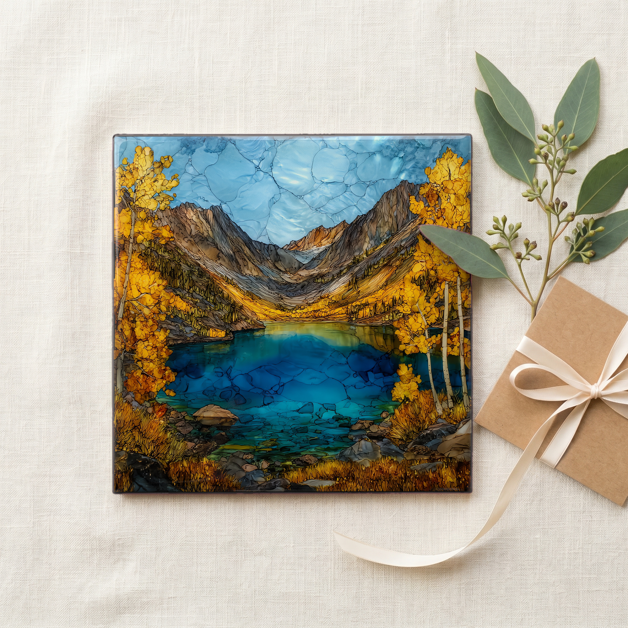
Each tile ships in a kraft box, tied with cream ribbon, with a handwritten note from the studio if you'd like to add one.
Three or five different vistas, hung together — a chapter of places you've been, or want to go.
The place, in three passes.
Lake Sabrina sits at 9,128 feet in California's Eastern Sierra, eighteen miles southwest of Bishop in Inyo County, reached by following State Route 168 up Bishop Creek Canyon. The 184-acre reservoir was built between 1907 and 1908 by the Nevada-California Power Company (now Southern California Edison) to feed the Bishop Creek hydroelectric system, a chain of five powerhouses still in operation. The water comes off the Middle Fork of Bishop Creek and the lake holds 8,376 acre-feet. Above the south shore, the granite headwall climbs into the John Muir Wilderness, anchored by Mount Thompson at 13,498 feet.
The Bishop Creek aspens are one of the marquee fall-colour stops on the eastern side of the Sierra. Peak gold along Lake Sabrina runs from the last week of September into the first week of October, with the colour holding longer on the north shore, where the trees catch a colder line of shade. The Inyo County tourism office tracks the change weekly through September. The road past Aspendell is plowed only seasonally; State Route 168 to the lake typically opens in mid- to late April after Caltrans clears the snow, and closes again with the first sustained storms. Summer brings trout fishing from the boat landing dock at the south end.
What rings the lake is granite. The Sabrina Basin headwall, just past the south end of the reservoir, rises into a wall of thirteen-thousand-foot peaks: Mount Thompson at 13,498 feet, Mount Haeckel, Mount Wallace, Mount Powell, and Mount Darwin further west along the Sierra Crest. The trail past the dam climbs into the John Muir Wilderness and reaches a chain of cirque lakes (Blue, Dingleberry, Topsy Turvy, Sailor, and Hungry Packer at 11,071 feet) where the granite cliffs below Haeckel and Wallace close the basin. The rock is part of the Sierra Nevada batholith, the same body that surfaces sixty miles south at Mount Whitney.